 Block
Block
Corwin, Ohio
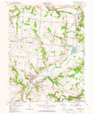
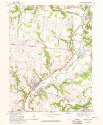
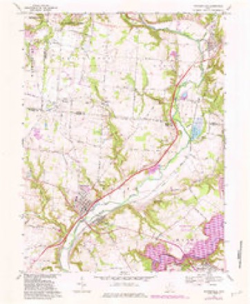
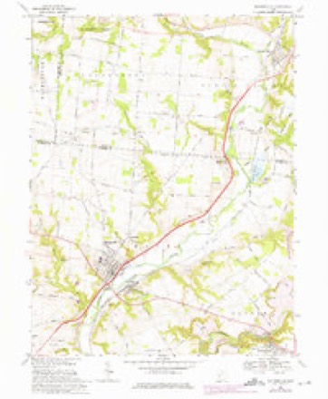
13 topographic sheets cover this place, the earliest surveyed in 1913 and the latest in 1986. It stands in Wayne Township. It lies in ZIP code area 45068. It stands on Satterthwaites Run. The Survey maps it on the Waynesville quadrangle. 484 people lived here at the 2020 count. It stands 738 feet above sea level.
Population over time
2 figuresCorwin grew from 421 to 484 between 2010 and 2020. These are the recorded population figures Wikidata holds for this place, reached through the Geographic Names Information System number this page is keyed on rather than by name, so they belong to this place and not to another of the same name. Most are census counts, but not all are: an early figure may be a founding or settlement estimate. The change column is computed, and is left blank where more than 20 years separate a figure from the one before it, because a gap that long is not a change between two counts.
| Year | People | Change |
|---|---|---|
| 2010 | 421 | |
| 2020 | 484 | +63 (+15%) |
Then and now
1913 to 1986The same ground, surveyed 73 years apart. Drag the handle to wipe between them. Both sheets are United States Geological Survey originals; neither has been altered.

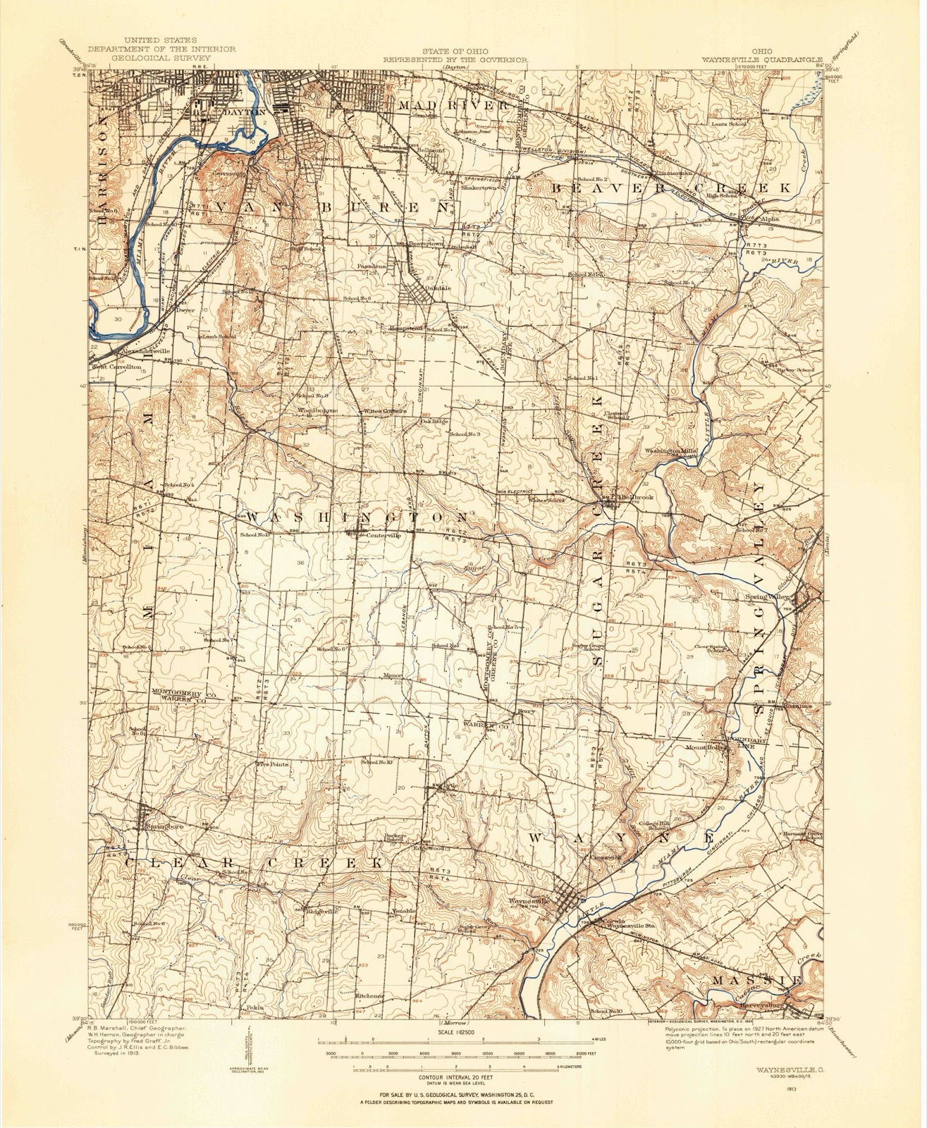
Topographic sheets covering this place
13 sheetsMatched by testing this settlement's coordinate against the published boundary of every sheet in the United States Geological Survey's historical collection. Each opens the scanned sheet at the Survey.
- 1913 USGS Waynesville quadrangle1:62500
- 1915 USGS Waynesville quadrangle1:62500
- 1953 USGS Cincinnati quadrangle1:250000
- 1953 USGS Cincinnati quadrangle1:250000
- 1953 USGS Cincinnati quadrangle1:250000
- 1955 USGS Waynesville quadrangle1:24000
- 1955 USGS Waynesville quadrangle1:24000
- 1957 USGS Cincinnati quadrangle1:250000
- 1968 USGS Waynesville quadrangle1:24000
- 1968 USGS Waynesville quadrangle1:24000
- 1968 USGS Waynesville quadrangle1:24000
- 1986 USGS Dayton quadrangle1:100000
- 1986 USGS Dayton quadrangle1:100000






In the county-history sources
18,319 words on this townshipThe History of Warren County, Ohio, published 1882 names this settlement in its chapter on Wayne Township. These are the passages that mention it, exactly as the scans read.
Before 1819, the channel of the river on the road to Corwin was not as now, but where the bridge now is was in the bend of a horseshoe, the channel above and below the bridge having been made since. The crossing of the river was between High and Main streets, in Waynesville. When the water was high, there was a ferry used, and when low, a ford. About 1812, an effort was made to build a bridge at the ford. The abutments were raised and a superstructure was placed on trestles. A freshet in the river swept out the work and no further effort was made to build a bridge at that place. In 1817, a bridge was built on a contract, where the bridge now is, by John Satterthwaite, for $700, including the abutments. It was built of oak timber, principally hewed, never covered or weather-boarded, and only lasted about ten years. At that time, the road crossed the West Branch of the Miami, known as the race at the mouth and followed the north bank of the Miami to the bridge. The race wsa then a small stream, no bridge over it; the ford was a very bad crossing.
Passage source: The History of Warren County, Ohio, published 1882.
In 1840 or 1841, some Virginians were moving through to Missouri with their slaves. It was claimed by slave-owners that they had a right to cross the State with their slaves for the purpose of business, or removal, when their destination was another Slave State. This was denied by the anti -slavery people of Ohio. A warrant was sworn out before Jonathan Clark, a Justice of the Peace here, by Dr. Brooks, and the slave-owners were arrested between this place and Franklin, and brought back and tried here. Judge George J. Smith and Robert G. Corwin were counsel for the prosecution, and Charles Anderson, of Dayton, for the defendants. After hearing the case, Squire Clark discharged the defendants. Some persons about Springboro and vicinity spirited away the slaves, or a part of them; they were afterward indicted by the grand jury, and tried, I believe, before Judge Hinkson in the Warren County Court of Common Pleas, convicted and sentenced to fine and imprisonment in the dungeon. The Supreme Court was in session at Cincinnati, a writ of error obtained therefrom, and the defendants were released from imprisonment. The case finally came before the Supreme Court of the State, when the question was set tied definitely, as claimed by the anti -slavery party.
Passage source: The History of Warren County, Ohio, published 1882.
In a pretty early day, CoL John McDannell, who had been a Colonel in the Revolutionary war, and who possessed all the hauteur of a gentleman of the olden time," came from Dauphin County, Penn., with his family, and set tied on the farm now owned by D. F. Corwin. They came all the way in a carriage, which was probably the first carriage ever brought into the township, if not the first in the county, and had a negro driver.
Passage source: The History of Warren County, Ohio, published 1882.
Machine-read from a century-old scan, so expect the errors a machine makes: misspelled names, dropped words, stray characters.
Read the whole chapter on Wayne Township - it names this place 1 more 1 time.
Photographs
1 photograph,Taken for the Office of War Information and the Farm Security Administration, who photographed the country between 1935 and 1944. Works of United States government photographers, with no known restriction on use. Each opens its catalogue record.
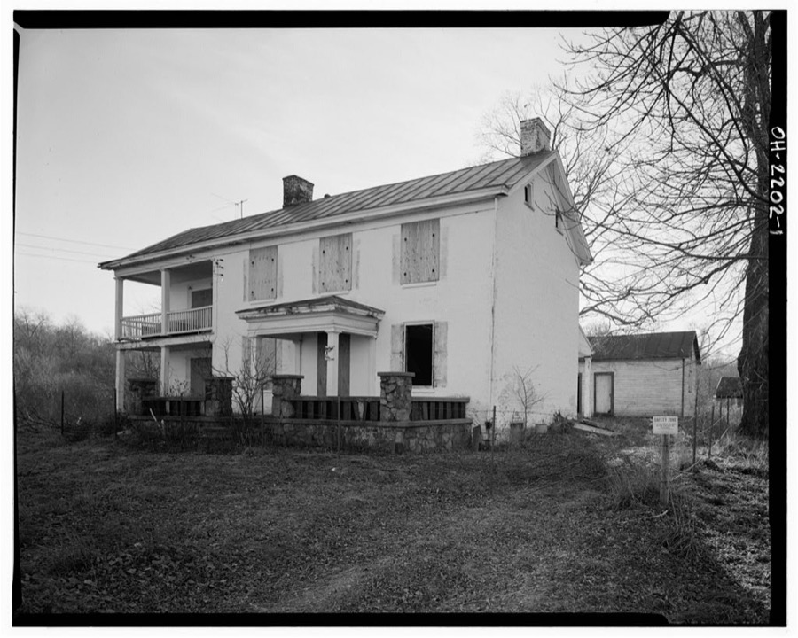
Unattributed, . Library of Congress
Specimens collected near this place
12 of 3,073 shownRegional context, not property-specific evidence. Museums hold 3,073 specimens collected within 10 miles of Corwin between 1844 and 1974: 2,955 Animalia, 52 Plantae, 50 Fungi, 14 Unrecorded, 2 Protozoa. 12 distinct Species records are shown. Collected by A. R. Gaufin, A.R. Gaufin, H.H. Ross, ANSEL JOHN and others. Each is a physical object with a catalogue number, and each entry opens the museum's record. This is what was collected and kept, not a survey of what lives here - nothing can be concluded from a species being absent.
| Image | Species | Year | Collected by | Where, as recorded |
|---|---|---|---|---|
 | Polyporus dryophilus Berk. | 1844 | Lea T. G. | Waynesville |
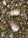 | Lampsilis ovata (Say, 1817) | 1862 | Whiteaves, Joseph F. | Little Miami Riv., Warren Co. |
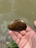 | Ptychobranchus fasciolaris (Rafinesque, 1820) | 1862 | Whiteaves, Joseph F. | Little Miami Riv., Warren Co. |
 | Actinonaias ligamentina (Lamarck, 1819) | 1879 | Whiteaves, Joseph F. | Little Miami Riv., Warren Co. |
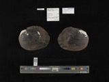 | Megalonaias gigantea (Barnes, 1823) | 1879 | Whiteaves, Joseph F. | Great Miami Riv. |
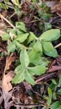 | Saponaria officinalis L. | 1881 | not recorded | Lebanon |
 | Achillea millefolium subsp. millefolium | 1884 | Bennett, F.G. | Lebanon |
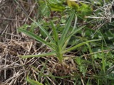 | Agrostemma githago L. | 1884 | Bennerht, F.G. | Lebanon |
 | Anthemis cotula L. | 1884 | Bennett, F.G. | [Lebanon] |
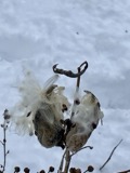 | Asclepias syriaca L. | 1884 | Berrerlt, F.G. | near Lebanon |
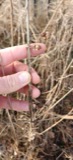 | Calystegia sepium (L.) R.Br. | 1884 | not recorded | Lebanon |
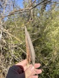 | Campsis radicans (L.) Bureau | 1884 | Bennett, F.G. | Near Lebanon |
All 3,073 specimens within 10 miles, at the Global Biodiversity Information Facility.
Mines and quarries near this place
5 within 5 milesRegional context, not property-specific evidence. The federal mineral resources record lists 5 workings within 5 miles of Corwin: 2 plants, 2 producers, 1 past producer. 4 still produce. What was taken out: Sand and Gravel, Construction, Stone, Crushed/Broken. Distance is straight-line from the map coordinates, so a quarry counted here may appear on a neighbouring settlement's page as well.
| Where | Site | Commodity | Status | Recorded |
|---|---|---|---|---|
| Lytle Pit & Mill | Stone, Crushed/Broken | Plant | ||
| Spring Valley Aggregates Pit | Sand and Gravel, Construction | Past Producer | Sedimentary | |
| Spring Valley Aggregates Pit | Sand and Gravel, Construction | Producer | ||
| Waynesville Pit & Mill | Sand and Gravel, Construction | Producer | ||
| Wilson Site Pit & Mill | Sand and Gravel, Construction | Plant |
Storms near this place
4 since 1995Regional context, not property-specific evidence. The National Weather Service names Corwin in 4 storm reports between 1995 and 2026: 4 thunderstorm wind. No death or injury is recorded in these reports. Each account below is quoted exactly as the forecast office filed it, from the NOAA Storm Events Database, and each date opens the federal record of that event.
| When | Event | Place named | Harm | What the report says |
|---|---|---|---|---|
| March 2025 | Thunderstorm Wind | Corwin | $25,000 | A large barn collapsed. |
| March 2024 | Thunderstorm Wind | Corwin | $6,000 | A few trees and power lines were downed in Wayne Township. |
| May 1995 | Thunderstorm Wind | Corwin | $3,000 | Trees downed. |
| April 2026 | Thunderstorm Wind | Corwin | $1,000 | A tree fell onto State Route 73. |
Nearest settlements
The eight closest, with where each one stands in the county. Distances are straight-line, computed from the Geographic Names Information System coordinates.
| Map | Place | Distance | Sheets |
|---|---|---|---|
| Waynesville | 0.5 miles | 13 | |
| Crosswick | 1.3 miles | 13 | |
| Edgewood (historical) | 3.4 miles | 13 | |
| Venable (historical) | 3.6 miles | 13 | |
| Wellman | 3.8 miles | 16 | |
| Harveysburg | 3.9 miles | 13 | |
| Lytle | 3.9 miles | 13 | |
| Mount Holly | 4.0 miles | 13 |
Elsewhere
Matched on this settlement's Geographic Names Information System number rather than its name, so it cannot be a different place of the same name in another state.
| Wikipedia article on Corwin | An encyclopaedic summary. Its text is share-alike, so it is linked here rather than copied. |
| Wikidata item Q2191815 | The structured record the population and elevation above come from. Public domain (CC0). |
Provenance
This settlement is recorded in the Geographic Names Information System as feature 1060999. The sheet list is computed by point-in-boundary test against the United States Geological Survey's historical topographic inventory. Both are works of the United States government and carry no copyright under 17 U.S.C. 105.
Specimens. Global Biodiversity Information Facility (GBIF), https://www.gbif.org/. Only records licensed CC0 or CC BY are used. Records licensed CC BY-NC are excluded because this site carries advertising. Images are checked individually and any whose licence is non-commercial, no-derivatives or unreadable is refused.
Mines and quarries. USGS Mineral Resources Data System (MRDS) https://mrdata.usgs.gov/mrds/ A work of the United States government, no copyright under 17 U.S.C. 105.
Storms. NOAA National Centers for Environmental Information, Storm Events Database https://www.ncei.noaa.gov/stormevents/ A work of the United States government, no copyright under 17 U.S.C. 105. Narratives are quoted verbatim from the National Weather Service report and are not edited or summarised.