 Block
Block
Cummingsville, Massachusetts
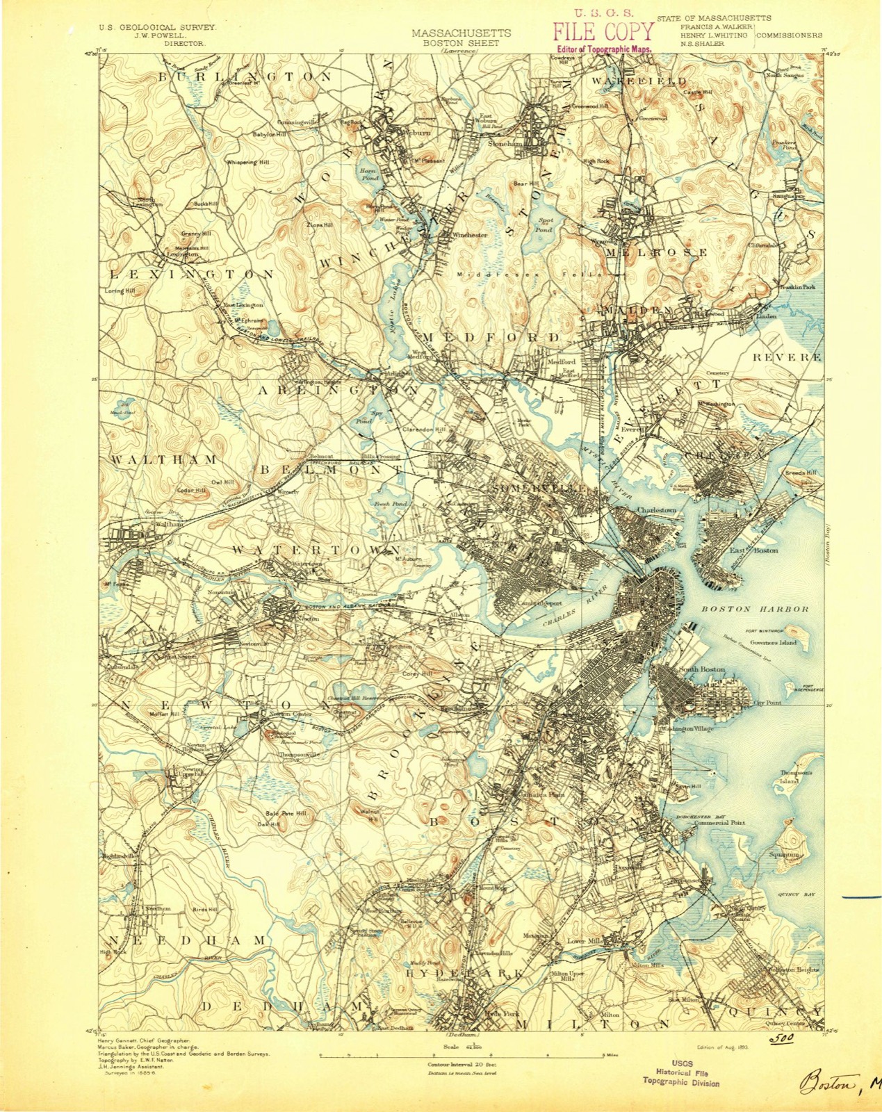
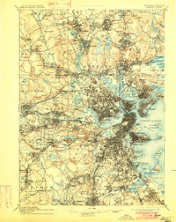
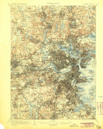
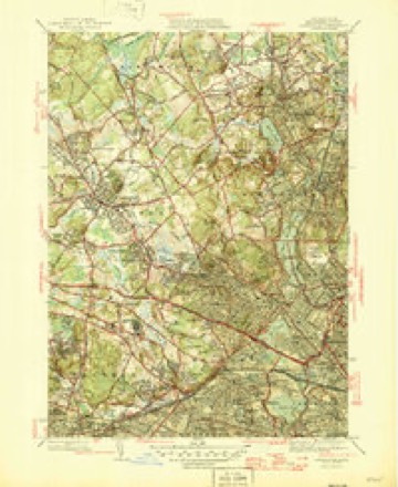
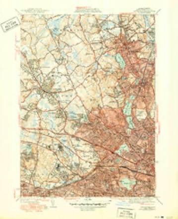
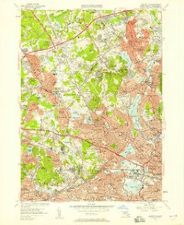
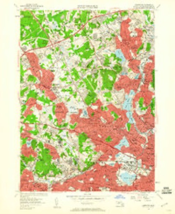
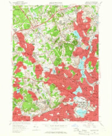
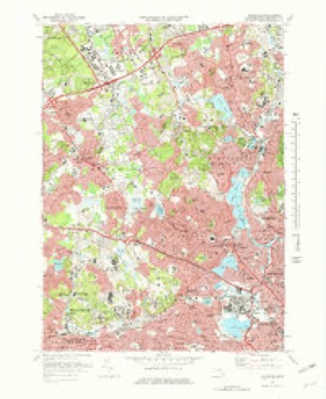
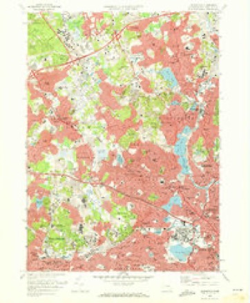
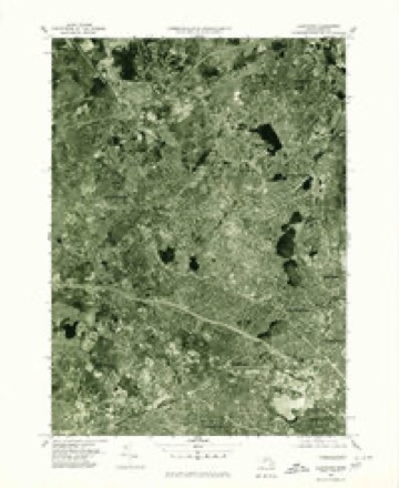
46 topographic sheets cover this place, the earliest surveyed in 1893 and the latest in 1989. It stands in Woburn City. It lies in ZIP code area 01801. It stands on Little Brook. The Survey maps it on the Lexington quadrangle.
Then and now
1893 to 1989The same ground, surveyed 96 years apart. Drag the handle to wipe between them. Both sheets are United States Geological Survey originals; neither has been altered.

Topographic sheets covering this place
46 sheetsMatched by testing this settlement's coordinate against the published boundary of every sheet in the United States Geological Survey's historical collection. Each opens the scanned sheet at the Survey.
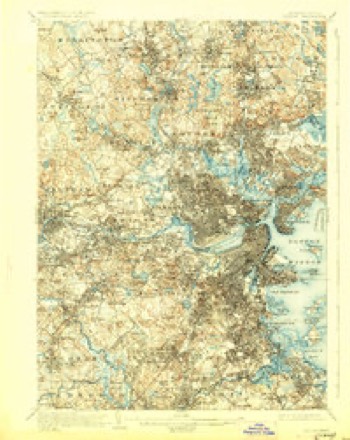
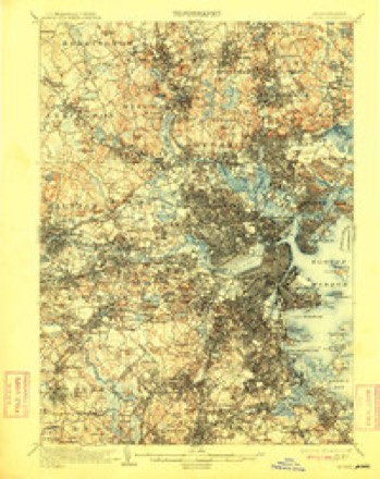
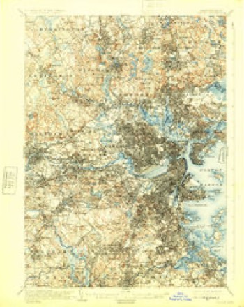
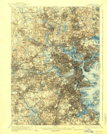
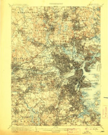
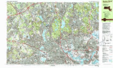
- 1893 USGS Boston quadrangle1:62500
- 1893 USGS Boston quadrangle1:62500
- 1893 USGS Boston quadrangle1:62500
- 1893 USGS Boston quadrangle1:62500
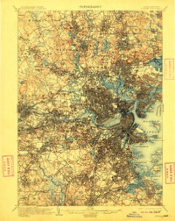
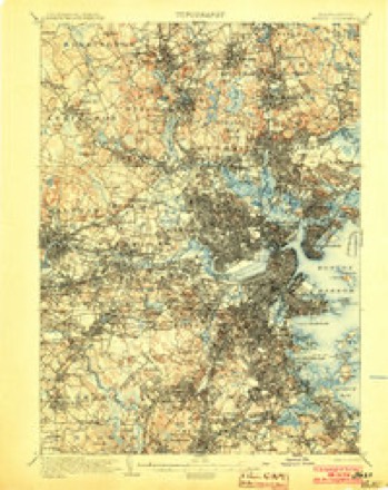
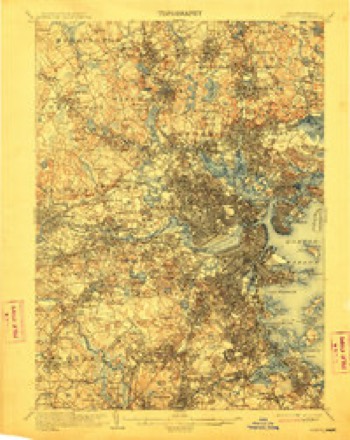
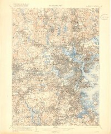
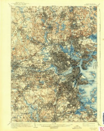
- 1903 USGS Boston quadrangle1:62500
- 1903 USGS Boston quadrangle1:62500
- 1903 USGS Boston quadrangle1:62500
- 1903 USGS Boston quadrangle1:62500
- 1903 USGS Boston quadrangle1:62500
- 1903 USGS Boston quadrangle1:62500
- 1903 USGS Boston quadrangle1:62500
- 1903 USGS Boston quadrangle1:62500
- 1903 USGS Boston quadrangle1:62500
- 1903 USGS Boston quadrangle1:62500
- 1903 USGS Boston quadrangle1:62500
- 1903 USGS Boston quadrangle1:62500
- 1903 USGS Boston quadrangle1:62500
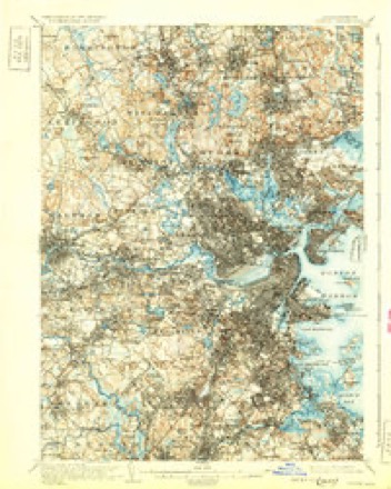
- 1943 USGS Boston quadrangle1:125000
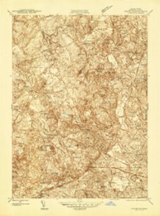
- 1944 USGS Lexington quadrangle1:24000
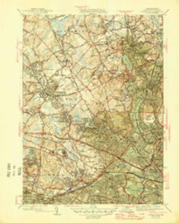
- 1946 USGS Lexington quadrangle1:31680
- 1946 USGS Lexington quadrangle1:31680
- 1946 USGS Lexington quadrangle1:31680
- 1948 USGS Boston quadrangle1:250000
- 1948 USGS Boston quadrangle1:250000
- 1956 USGS Boston quadrangle1:250000
- 1956 USGS Boston quadrangle1:250000
- 1956 USGS Boston quadrangle1:250000
- 1956 USGS Boston quadrangle1:250000
- 1956 USGS Boston quadrangle1:250000
- 1956 USGS Boston quadrangle1:250000
- 1956 USGS Lexington quadrangle1:24000
- 1956 USGS Lexington quadrangle1:24000
- 1956 USGS Lexington quadrangle1:24000
- 1958 USGS Boston quadrangle1:250000
- 1958 USGS Boston quadrangle1:250000
- 1961 USGS Boston quadrangle1:250000
- 1961 USGS Boston quadrangle1:250000
- 1971 USGS Lexington quadrangle1:25000
- 1971 USGS Lexington quadrangle1:24000
- 1977 USGS Lexington quadrangle1:25000
- 1985 USGS Boston quadrangle1:100000
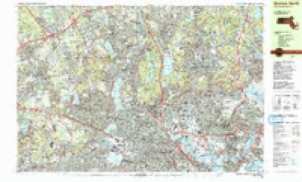
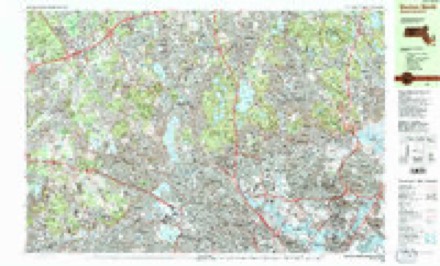
- 1985 USGS Boston North quadrangle1:25000
- 1985 USGS Boston North quadrangle1:25000
- 1985 USGS Boston North quadrangle1:25000
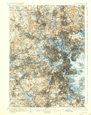
- 1989 USGS Boston quadrangle1:100000
- 1989 USGS Boston quadrangle1:100000
















In the county-history sources
48,923 words on this townshipHistory of Middlesex County, Massachusetts : Containing Carefully Prepared Histories of Every City and Town in the County, published 1880 names this settlement in its chapter on Woburn City. These are the passages that mention it, exactly as the scans read.
In 1793 the construction of the Middlesex Canal was authorized by the legislature. Colonel Baldwin was an active promoter of this enterprise, and one of the persons named in its charter. Although an English engineer was employed to survey the route from Chelmsford to Charlestown, Colonel Baldwin attended the survey throughout, and thonnighlv supervised the location. The canal was nut nuiipleted until 1803, when it became a matter of extensive notoriety, and was visited by hundreds of persons from different parts of the country. The canal traversed the town of Woburn through its central part, and during the time of its most active business (a period of about thirty years) it presented a picturesque and animated scene. After the construction of the Boston and Lowell Railroad the canal fell into disuse, and its bed is at tiie present time nearly obliterated. To Colonel Baldwin the public is indebted for the introduction of the famous Baldwin apple. He did not "invent" it, or grow it out of wild stock, but he discovered it on a tree on the farm of J. Butters, in Wilmington, and being attracted by its fine flavor and free bearing, secured scions from it for his own use, and afterward freely distributed them to all the neighborhood. Colonel Baldwin died on the iOtli of October, 1807, at the age of sixty-three.
Passage source: History of Middlesex County, Massachusetts : Containing Carefully Prepared Histories of Every City and Town in the County, published 1880.
.\n.vji,iliee of W.ihnrn wimhi he inennn.K'le without reference to her excellent supply of water. The town is less abundantly supplied with water from natural sources tiian many of its neighbors. It has no large stream, lis principal one, the Aberjtina, llows tiirongh its easterly border, at a considerable distance from its centre of business and population. Horn Pond is the only sheet of water of any magnitude within its limits. As the town increased in its manufacturing industries and the number of its dwellings, the need of an ample supply of water for domestic and fire purposes was felt more and more every year. In 1871 the town appointed a committee on water-supply, with power to secure an act of incorporation for that purpose. The act was obtained which allowed the use of the water of Horn Pond and authorized the issue of water bonds not exceeding $^00,000. Water commissioners were chosen, and the work was immediately begun. A reservoir was constructed on Horn Pond Mountain, capable of holding 600,000 gallons, which at high water would be £22 feet above the level of the pond, and supply the highest points of the town. Pipes were laid at first through the central part of the town only, but the outer villages (Cummingsville, Korth and East Woburn) demanding the same rights and privileges acquired by the Centre, the town voted the extension of the pipes to those sections. To do this, involved the issue of $200,000 more of water bonds, which the town voted and the legislature approved. In digging for the foundation of the engine-house a few rods from the pond an unexpected and remarkable How of water rushed to the excavation from the land side. To dispose of this flow, one, another, and then another of the most powerful pumps were used without checking its force. As the water was of the purest quality (issuing directly from the gravel bed on the southerly part of the pond), and its supply apparently inexhaustible, it was determined by the commissioners to appropriate it for the use of the town in preference to drawing directly from the pond. Connection was made with the pond, as originally proposed, to secure a supply in case the flow from the land side should at any time collapse. To this period (1879) there is no sign of exhaustion, and Woburn is furnished in abundance with purer water than could be obtained from Horn Pond or any other source within many miles. The whole cost of the water-works to 1879 is about $450,000.
Passage source: History of Middlesex County, Massachusetts : Containing Carefully Prepared Histories of Every City and Town in the County, published 1880.
Machine-read from a century-old scan, so expect the errors a machine makes: misspelled names, dropped words, stray characters.
Fires near this place
58 since 2015Regional context, not property-specific evidence. The federal wildfire occurrence database lists 58 fires within 5 miles of Cummingsville between 2015 and 2020, burning about 99 acres in total. None started naturally. 27 were recorded as arson. Distance is straight-line from the map coordinates, so a fire counted here may appear on a neighbouring settlement's page as well.
| Reported cause | Fires |
|---|---|
| Arson/incendiarism | 27 |
| Missing data/not specified/undetermined | 13 |
| Recreation and ceremony | 8 |
| Debris and open burning | 8 |
| Misuse of fire by a minor | 1 |
| Equipment and vehicle use | 1 |
The most recent of them, most recent first, with the day each was reported and the service that recorded it.
| Date | Cause | Size | Reported by | Name on the report |
|---|---|---|---|---|
| 22 September 2020 | Recreation and ceremony | under an acre | Massachusetts Bureau of Forest Fire Control | not named |
| 18 September 2016 | Arson/incendiarism | under an acre | Massachusetts Bureau of Forest Fire Control | MELROSE |
| 18 September 2015 | Arson/incendiarism | under an acre | Massachusetts Bureau of Forest Fire Control | MELROSE |
| 5 August 2016 | Arson/incendiarism | under an acre | Massachusetts Bureau of Forest Fire Control | MEDFORD |
| 5 August 2015 | Arson/incendiarism | 6.0 acres | Massachusetts Bureau of Forest Fire Control | MEDFORD |
| 30 August 2016 | Arson/incendiarism | under an acre | Massachusetts Bureau of Forest Fire Control | MEDFORD |
| 30 August 2015 | Arson/incendiarism | under an acre | Massachusetts Bureau of Forest Fire Control | MEDFORD |
| 28 August 2016 | Arson/incendiarism | under an acre | Massachusetts Bureau of Forest Fire Control | MEDFORD |
Settlements close enough to share some of these fires:
Specimens collected near this place
12 of 1,648 shownRegional context, not property-specific evidence. Museums hold 1,648 specimens collected within 10 miles of Cummingsville between 1898 and 1975: 709 Animalia, 561 Plantae, 336 Fungi, 17 Bacteria, 9 Unrecorded, 9 Protozoa, 7 Chromista. 12 distinct Species records are shown. Collected by ?, A B Seymour, A B. Proper and others. Each is a physical object with a catalogue number, and each entry opens the museum's record. This is what was collected and kept, not a survey of what lives here - nothing can be concluded from a species being absent.
| Image | Species | Year | Collected by | Where, as recorded |
|---|---|---|---|---|
 | Trientalis borealis Raf. | 1900 | A. P. Chute | |
| Aglaospora profusa (Fr.) De Not. | 1898 | Collector unspecified | ||
 | Boletus griseus Frost | 1898 | H. Webster | |
 | Cantharellus infundibuliformis (Scop.) Fr. | 1898 | not recorded | Melrose. |
 | Cladonia coccifera (L.) Willd. | 1898 | Francis P Daniels | Cambridge |
 | Cladonia rangiferina (L.) Weber | 1898 | Francis P Daniels | Arlington Heights |
 | Cordyceps capitata (Holmsk.) Link | 1898 | Conant, [?] F. | Middlesex Fells |
 | Ctenidium malacodes Mitt. | 1898 | not recorded | |
 | Cucurbitaria elongata (Fr.) Grev. | 1898 | J. G. Hall | |
 | Acer carpinifolium Siebold & Zucc. | 1900 | A. K. Harrison | Harvard Botanic Garden, Cambridge. |
 | Acer palmatum var. dissectum (Thunb.) Miq. | 1900 | A. K. Harrison | Harvard Botanic Garden, Cambridge. |
 | Agaricus brunnescens Peck | 1900 | Morris, G. E. | Waltham |
All 1,648 specimens within 10 miles, at the Global Biodiversity Information Facility.
Mines and quarries near this place
10 of 14 shownRegional context, not property-specific evidence. The federal mineral resources record lists 14 workings within 5 miles of Cummingsville: 8 past producers, 4 producers, 2 plants. 6 still produce. What was taken out: Sand and Gravel, Construction, Stone, Crushed/Broken, Peat, Clay. Distance is straight-line from the map coordinates, so a quarry counted here may appear on a neighbouring settlement's page as well.
| Where | Site | Commodity | Status | Recorded |
|---|---|---|---|---|
| Austin Hastings--Woburn, Ma. | Iron | Plant | ||
| Dynamet Tech--Burlington, Ma. | Titanium | Plant | ||
| Mahoney:S Rocky Ledge | Peat | Past Producer | Peat | |
| Rocky Ledge Pit | Clay | Past Producer | ||
| Marlborough Plant/Polishing Plates | Stone, Crushed/Broken | Producer | ||
| Roma Stone Pit | Stone, Crushed/Broken | Producer | ||
| Burlington S & G Co., Inc. Pit | Sand and Gravel, Construction | Producer | ||
| Burlington Sand and Gravel | Sand and Gravel, Construction | Past Producer | Sedimentary | |
| D R Raymond | Sand and Gravel, Construction | Past Producer | Sedimentary | |
| Joseph Roberto Inc | Sand and Gravel, Construction | Past Producer | Sedimentary |
Nearest settlements
The eight closest, with where each one stands in the county. Distances are straight-line, computed from the Geographic Names Information System coordinates.
| Map | Place | Distance | Sheets |
|---|---|---|---|
| Winnmere | 0.8 miles | 46 | |
| Woburn | 1.2 miles | 46 | |
| Central Square | 1.4 miles | 46 | |
| Shakerhill | 1.6 miles | 46 | |
| Woburn Highlands | 1.7 miles | 46 | |
| Burlington | 2.0 miles | 41 | |
| North Woburn | 2.1 miles | 41 | |
| Woods Corner | 2.1 miles | 46 |
Provenance
This settlement is recorded in the Geographic Names Information System as feature 612160. The sheet list is computed by point-in-boundary test against the United States Geological Survey's historical topographic inventory. Both are works of the United States government and carry no copyright under 17 U.S.C. 105.
Wildfire. Short, Karen C. 2022. Spatial wildfire occurrence data for the United States, 1992-2020 [FPA_FOD_20221014]. 6th Edition. Fort Collins, CO: Forest Service Research Data Archive. https://doi.org/10.2737/RDS-2013-0009.6 Collected with United States Government funding and usable without additional permissions or fees.
Specimens. Global Biodiversity Information Facility (GBIF), https://www.gbif.org/. Only records licensed CC0 or CC BY are used. Records licensed CC BY-NC are excluded because this site carries advertising. Images are checked individually and any whose licence is non-commercial, no-derivatives or unreadable is refused.
Mines and quarries. USGS Mineral Resources Data System (MRDS) https://mrdata.usgs.gov/mrds/ A work of the United States government, no copyright under 17 U.S.C. 105.