 Block
Block
North Woburn, Massachusetts
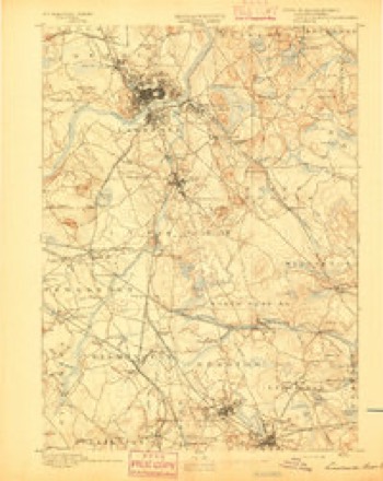
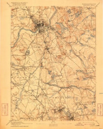
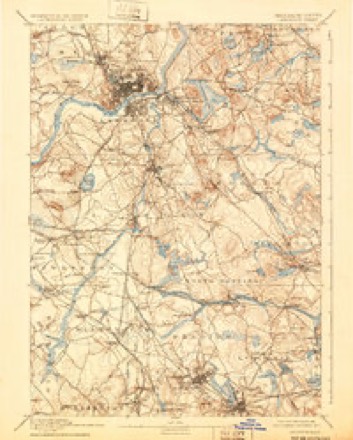
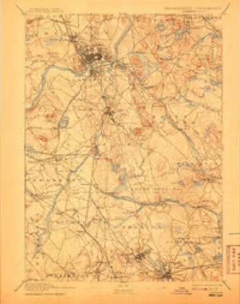
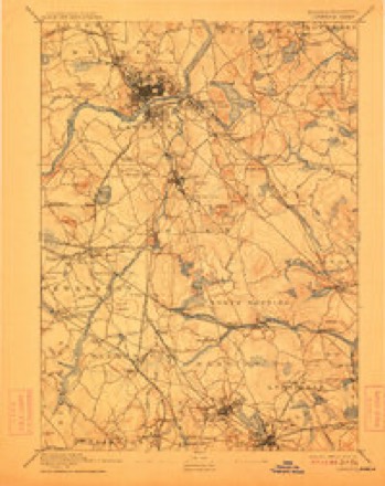
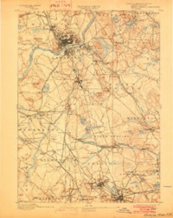
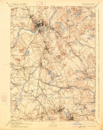
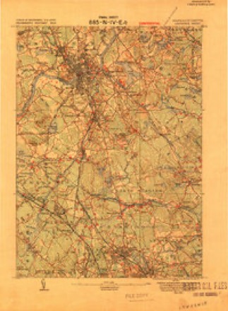
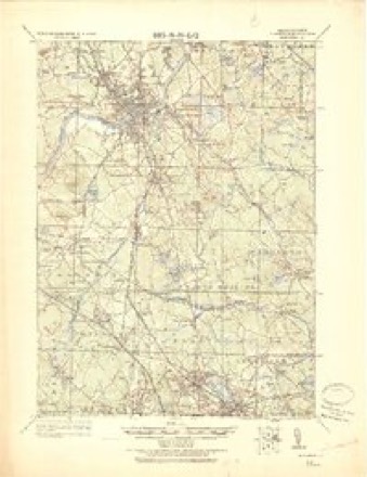
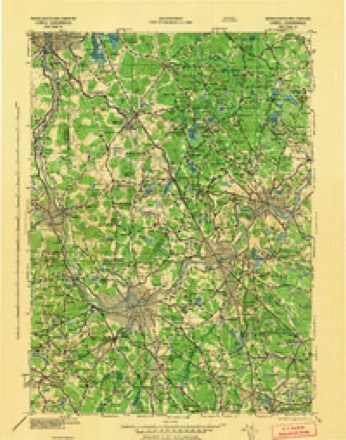
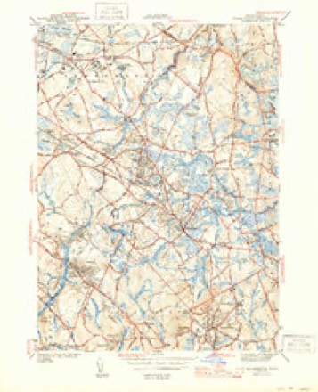
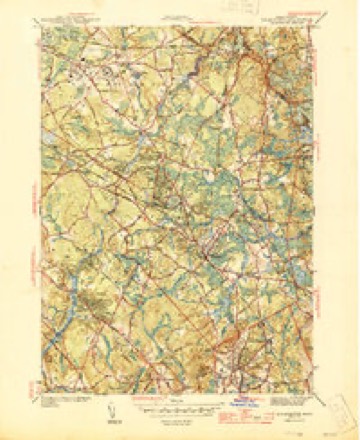
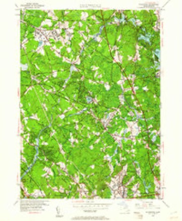
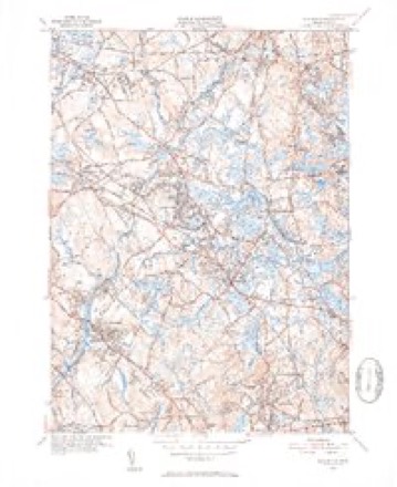
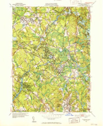
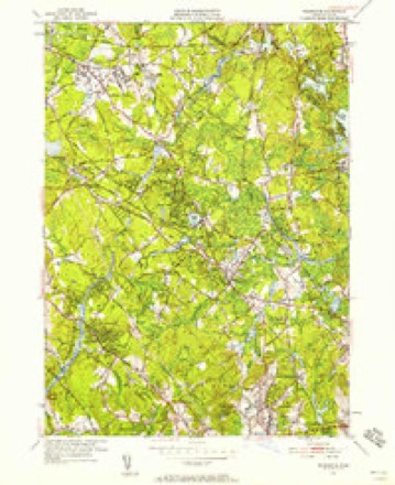
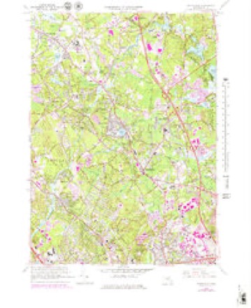
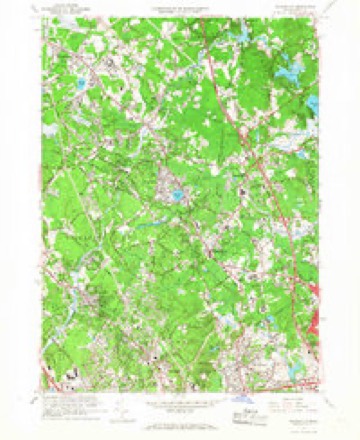
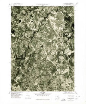
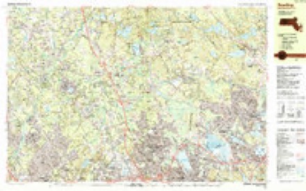
41 topographic sheets cover this place, the earliest surveyed in 1886 and the latest in 1988. It stands in Woburn City. It lies in ZIP code area 01801. It stands on Willow Brook. The Survey maps it on the Wilmington quadrangle.
Then and now
1886 to 1988The same ground, surveyed 102 years apart. Drag the handle to wipe between them. Both sheets are United States Geological Survey originals; neither has been altered.
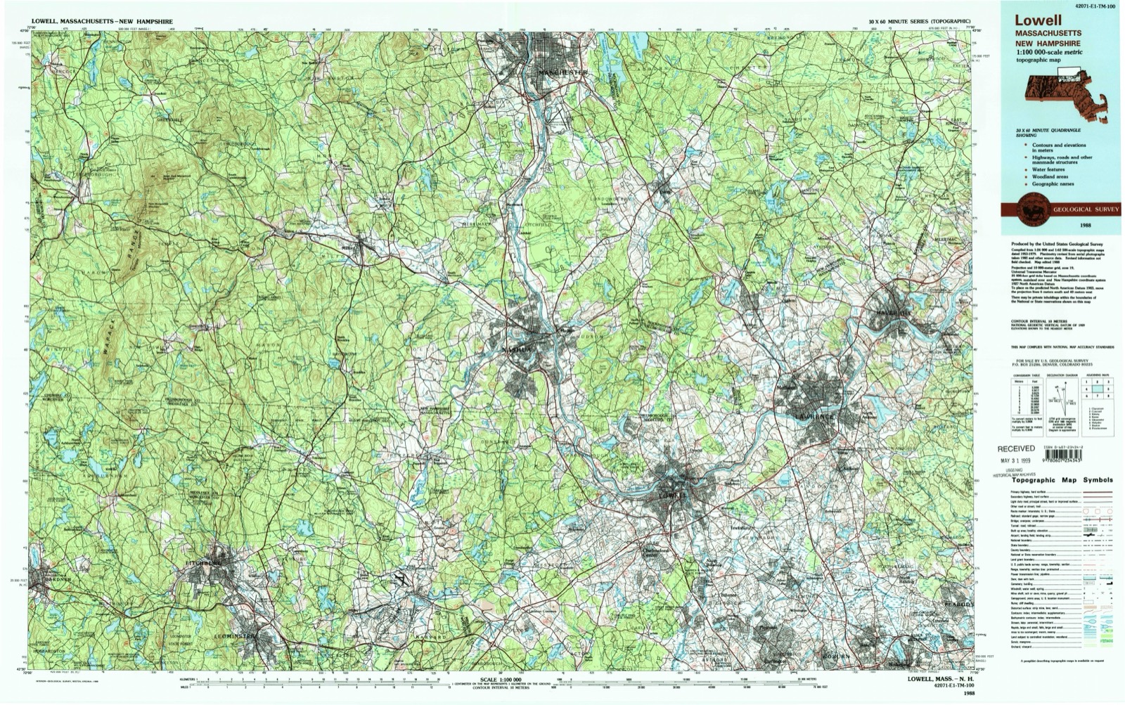
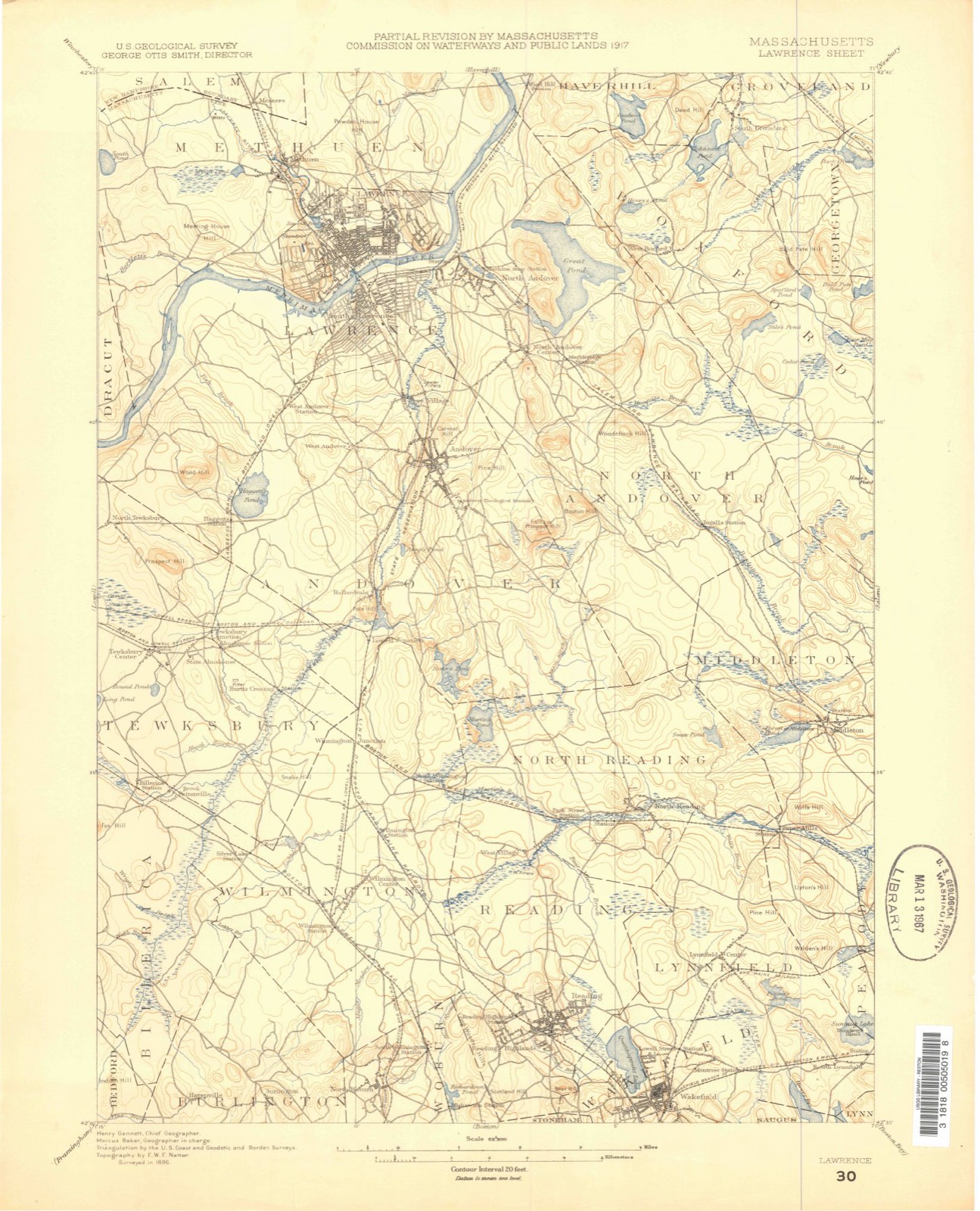
Topographic sheets covering this place
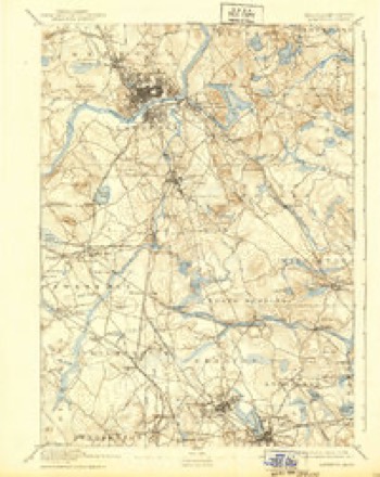
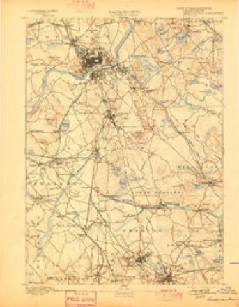
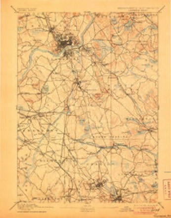
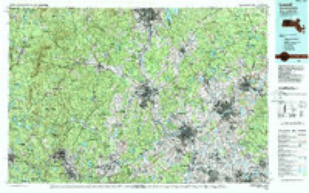
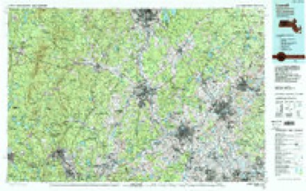
41 sheetsMatched by testing this settlement's coordinate against the published boundary of every sheet in the United States Geological Survey's historical collection. Each opens the scanned sheet at the Survey.
- 1886 USGS Lawrence quadrangle1:62500
- 1888 USGS Lawrence quadrangle1:62500
- 1893 USGS Lawrence quadrangle1:62500
- 1893 USGS Lawrence quadrangle1:62500
- 1893 USGS Lawrence quadrangle1:62500
- 1893 USGS Lawrence quadrangle1:62500
- 1893 USGS Lawrence quadrangle1:62500
- 1893 USGS Lawrence quadrangle1:62500
- 1893 USGS Lawrence quadrangle1:62500
- 1893 USGS Lawrence quadrangle1:62500
- 1893 USGS Lawrence quadrangle1:62500
- 1893 USGS Lawrence quadrangle1:62500
- 1918 USGS Lawrence quadrangle1:62500
- 1918 USGS Lawrence quadrangle1:62500
- 1943 USGS Lowell quadrangle1:125000
- 1944 USGS Wilmington quadrangle1:31680
- 1944 USGS Wilmington quadrangle1:31680
- 1948 USGS Boston quadrangle1:250000
- 1948 USGS Boston quadrangle1:250000
- 1950 USGS Wilmington quadrangle1:24000
- 1950 USGS Wilmington quadrangle1:31680
- 1950 USGS Wilmington quadrangle1:31680
- 1950 USGS Wilmington quadrangle1:24000
- 1956 USGS Boston quadrangle1:250000
- 1956 USGS Boston quadrangle1:250000
- 1956 USGS Boston quadrangle1:250000
- 1956 USGS Boston quadrangle1:250000
- 1956 USGS Boston quadrangle1:250000
- 1956 USGS Boston quadrangle1:250000
- 1958 USGS Boston quadrangle1:250000
- 1958 USGS Boston quadrangle1:250000
- 1961 USGS Boston quadrangle1:250000
- 1961 USGS Boston quadrangle1:250000
- 1965 USGS Wilmington quadrangle1:25000
- 1965 USGS Wilmington quadrangle1:24000
- 1977 USGS Wilmington quadrangle1:25000
- 1984 USGS Lowell quadrangle1:100000
- 1987 USGS Reading quadrangle1:25000
- 1987 USGS Reading quadrangle1:25000
- 1988 USGS Lowell quadrangle1:100000
- 1988 USGS Lowell quadrangle1:100000












In the county-history sources
48,923 words on this townshipHistory of Middlesex County, Massachusetts : Containing Carefully Prepared Histories of Every City and Town in the County, published 1880 names this settlement in its chapter on Woburn City. These are the passages that mention it, exactly as the scans read.
1866. The meeting-house on the north side of tlie Common, built in 1840, was so far outgrown in 1860 by the increase of the society, that an enlargement or a new building became necessary. As the land for enlargement could not be easily obtained, it was voted to erect a new house of very much larger dimensions, and on the opposite side of the Common. The building was completed, and dedicated in October, 1861. Thcchurch is one of the largest and best-appointed houses of worship in the country. Its total cost was about §62,000. The audience-room is capable of seating fifteen hundred persons, and is beautiful both in form and decoration. After tiie resignation of Rev. Mr. Bodwell an invitation to the pastorate was extended to Rev. S. E. Dennen, who accepted, and was installed in 1868. Mr. Dennen was noted for his pulpit services, his sermons having those logical and compact qualities which are always attractive to the thinking part of every congregation. Mr. Dennen resigned in 1872. Rev. H. S. Kelsey was installed in his place. Occupying the pulpit three years, he retired from the position, and the pastorate was again offered to Rev. Daniel March, who had so acceptably ministered to the congregation some fifteen years before. Rev. Mr. March still retains his connection with the parisii. In 1846 the people of North Woburn felt the need of a church and society in that locality. At first the Sunday services were held in the school-house, under charge of Rev. Samuel Sewall. The society increasing, a meeting-house was built in 1849, and a church formed, consisting mostly of persons who transferred their membership from the First Parish. Rev. Samuel Sewall continued as pastor till 1852, when he resigned. His successor was Rev. George T. Dole, who remained three years. Rev. Swift Byington and Rev. M. G. Wheeler followed. The present pastor. Rev. W. C. Anderson, was settled in 1873.
Passage source: History of Middlesex County, Massachusetts : Containing Carefully Prepared Histories of Every City and Town in the County, published 1880.
Machine-read from a century-old scan, so expect the errors a machine makes: misspelled names, dropped words, stray characters.
Fires near this place
37 since 2015Regional context, not property-specific evidence. The federal wildfire occurrence database lists 37 fires within 5 miles of North Woburn between 2015 and 2020, burning about 22 acres in total. None started naturally. 2 were recorded as arson. Distance is straight-line from the map coordinates, so a fire counted here may appear on a neighbouring settlement's page as well.
| Reported cause | Fires |
|---|---|
| Missing data/not specified/undetermined | 15 |
| Debris and open burning | 10 |
| Recreation and ceremony | 7 |
| Arson/incendiarism | 2 |
| Equipment and vehicle use | 2 |
| Railroad operations and maintenance | 1 |
The most recent of them, most recent first, with the day each was reported and the service that recorded it.
| Date | Cause | Size | Reported by | Name on the report |
|---|---|---|---|---|
| 22 September 2020 | Recreation and ceremony | under an acre | Massachusetts Bureau of Forest Fire Control | not named |
| 20 August 2017 | Recreation and ceremony | under an acre | Massachusetts Bureau of Forest Fire Control | WINCHESTER |
| 13 August 2020 | Arson/incendiarism | 2.5 acres | Massachusetts Bureau of Forest Fire Control | GRINDING ROCK HILL FIRE |
| 21 July 2020 | Missing data/not specified/undetermined | under an acre | Massachusetts Bureau of Forest Fire Control | not named |
| 13 July 2018 | Recreation and ceremony | under an acre | Massachusetts Bureau of Forest Fire Control | not named |
| 9 June 2020 | Debris and open burning | under an acre | Massachusetts Bureau of Forest Fire Control | not named |
| 23 June 2020 | Recreation and ceremony | under an acre | Massachusetts Bureau of Forest Fire Control | not named |
| 23 June 2020 | Debris and open burning | under an acre | Massachusetts Bureau of Forest Fire Control | not named |
Settlements close enough to share some of these fires:
Specimens collected near this place
12 of 1,483 shownRegional context, not property-specific evidence. Museums hold 1,483 specimens collected within 10 miles of North Woburn between 1898 and 1975: 657 Animalia, 499 Plantae, 287 Fungi, 17 Bacteria, 9 Unrecorded, 9 Protozoa, 5 Chromista. 12 distinct Species records are shown. Collected by ?, A B Seymour, A B. Proper and others. Each is a physical object with a catalogue number, and each entry opens the museum's record. This is what was collected and kept, not a survey of what lives here - nothing can be concluded from a species being absent.
| Image | Species | Year | Collected by | Where, as recorded |
|---|---|---|---|---|
 | Trientalis borealis Raf. | 1900 | A. P. Chute | |
| Aglaospora profusa (Fr.) De Not. | 1898 | Collector unspecified | ||
 | Cantharellus infundibuliformis (Scop.) Fr. | 1898 | not recorded | Melrose. |
 | Cladonia coccifera (L.) Willd. | 1898 | Francis P Daniels | Cambridge |
 | Cladonia rangiferina (L.) Weber | 1898 | Francis P Daniels | Arlington Heights |
 | Cordyceps capitata (Holmsk.) Link | 1898 | Conant, [?] F. | Middlesex Fells |
 | Ctenidium malacodes Mitt. | 1898 | not recorded | |
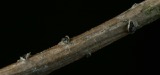 | Cucurbitaria elongata (Fr.) Grev. | 1898 | J. G. Hall | |
 | Acer carpinifolium Siebold & Zucc. | 1900 | A. K. Harrison | Harvard Botanic Garden, Cambridge. |
 | Acer palmatum var. dissectum (Thunb.) Miq. | 1900 | A. K. Harrison | Harvard Botanic Garden, Cambridge. |
 | Agaricus brunnescens Peck | 1900 | Morris, G. E. | Waltham |
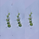 | Aphanochaete repens A.Braun | 1900 | F. S. Collins | Middlesex Fells, Wright's Pond, on Oedogonium, etc. |
All 1,483 specimens within 10 miles, at the Global Biodiversity Information Facility.
Mines and quarries near this place
10 of 17 shownRegional context, not property-specific evidence. The federal mineral resources record lists 17 workings within 5 miles of North Woburn: 10 past producers, 4 producers, 3 plants. 7 still produce. What was taken out: Sand and Gravel, Construction, Stone, Crushed/Broken, Peat, Clay. Distance is straight-line from the map coordinates, so a quarry counted here may appear on a neighbouring settlement's page as well.
| Where | Site | Commodity | Status | Recorded |
|---|---|---|---|---|
| Austin Hastings--Woburn, Ma. | Iron | Plant | ||
| Dynamet Tech--Burlington, Ma. | Titanium | Plant | ||
| Ferro Ceramic Grinding--Wakefield | Silica | Plant | ||
| Mahoney:S Rocky Ledge | Peat | Past Producer | Peat | |
| Rocky Ledge Pit | Clay | Past Producer | ||
| Marlborough Plant/Polishing Plates | Stone, Crushed/Broken | Producer | ||
| Roma Stone Pit | Stone, Crushed/Broken | Producer | ||
| Burlington S & G Co., Inc. Pit | Sand and Gravel, Construction | Producer | ||
| Burlington Sand and Gravel | Sand and Gravel, Construction | Past Producer | Sedimentary | |
| D R Raymond | Sand and Gravel, Construction | Past Producer | Sedimentary |
Storms near this place
11 since 2007Regional context, not property-specific evidence. The National Weather Service names North Woburn in 11 storm reports between 2007 and 2025: 5 thunderstorm wind, 3 hail, 2 flood, 1 lightning. No death or injury is recorded in these reports. Each account below is quoted exactly as the forecast office filed it, from the NOAA Storm Events Database, and each date opens the federal record of that event.
| When | Event | Place named | Harm | What the report says |
|---|---|---|---|---|
| July 2014 | Thunderstorm Wind | North Woburn | $25,000 | Large trees and power lines were downed by thunderstorm winds, causing several road closures. Wires were downed on a roof on Conn Street. A phone pole on Marlboro Road was downed by thunderstorm winds. |
| September 2008 | Flood | North Woburn | $15,000 | Heavy rain associated with Tropical Storm Hanna ranged from 2.28 inches to 3.64 inches. This resulted in flooding of the Woburn Police Department garage. Newspapers reported that as many as ten vehicles were towed from flood waters on Route 9 under the 126 overpass. This is a frequent problem in Framingham when it rains. |
| September 2007 | Lightning | North Woburn | $12,000 | Wires were reported down due to a lightning strike. |
| July 2014 | Thunderstorm Wind | North Woburn | $5,000 | Multiple tree limbs and wires on Main Street were downed by thunderstorm winds. |
| May 2025 | Thunderstorm Wind | North Woburn | $1,000 | In Woburn, several large trees were down. |
| August 2016 | Thunderstorm Wind | North Woburn | $1,000 | A large tree limb was downed onto Washington Street by thunderstorm winds. |
| June 2024 | Thunderstorm Wind | North Woburn | $500 | In Woburn, a tree was down on Wright St. |
| September 2022 | Flood | North Woburn | - | In Woburn, Olympia Ave. at Wheeling Ave. was flooded and impassable. Police also reported a nearby parking lot was flooded and closed. |
| June 2008 | Hail | North Woburn | - | Quarter sized hail fell near Route 128 Exit 36. |
| July 2016 | Hail | North Woburn | - | no account filed |
| July 2008 | Hail | North Woburn | - | no account filed |
Nearest settlements
The eight closest, with where each one stands in the county. Distances are straight-line, computed from the Geographic Names Information System coordinates.
| Map | Place | Distance | Sheets |
|---|---|---|---|
| South Wilmington | 0.5 miles | 41 | |
| Mishawum | 1.0 miles | 41 | |
| Central Square | 1.2 miles | 46 | |
| Winnmere | 1.6 miles | 46 | |
| Walnut Hill | 1.8 miles | 46 | |
| Burlington | 2.0 miles | 41 | |
| Woburn | 2.0 miles | 46 | |
| Cummingsville | 2.1 miles | 46 |
Elsewhere
Matched on this settlement's Geographic Names Information System number rather than its name, so it cannot be a different place of the same name in another state.
| Wikidata item Q122555602 | The structured record the population and elevation above come from. Public domain (CC0). |
Provenance
This settlement is recorded in the Geographic Names Information System as feature 612222. The sheet list is computed by point-in-boundary test against the United States Geological Survey's historical topographic inventory. Both are works of the United States government and carry no copyright under 17 U.S.C. 105.
Wildfire. Short, Karen C. 2022. Spatial wildfire occurrence data for the United States, 1992-2020 [FPA_FOD_20221014]. 6th Edition. Fort Collins, CO: Forest Service Research Data Archive. https://doi.org/10.2737/RDS-2013-0009.6 Collected with United States Government funding and usable without additional permissions or fees.
Specimens. Global Biodiversity Information Facility (GBIF), https://www.gbif.org/. Only records licensed CC0 or CC BY are used. Records licensed CC BY-NC are excluded because this site carries advertising. Images are checked individually and any whose licence is non-commercial, no-derivatives or unreadable is refused.
Mines and quarries. USGS Mineral Resources Data System (MRDS) https://mrdata.usgs.gov/mrds/ A work of the United States government, no copyright under 17 U.S.C. 105.
Storms. NOAA National Centers for Environmental Information, Storm Events Database https://www.ncei.noaa.gov/stormevents/ A work of the United States government, no copyright under 17 U.S.C. 105. Narratives are quoted verbatim from the National Weather Service report and are not edited or summarised.