 Block
Block
Woburn, Massachusetts
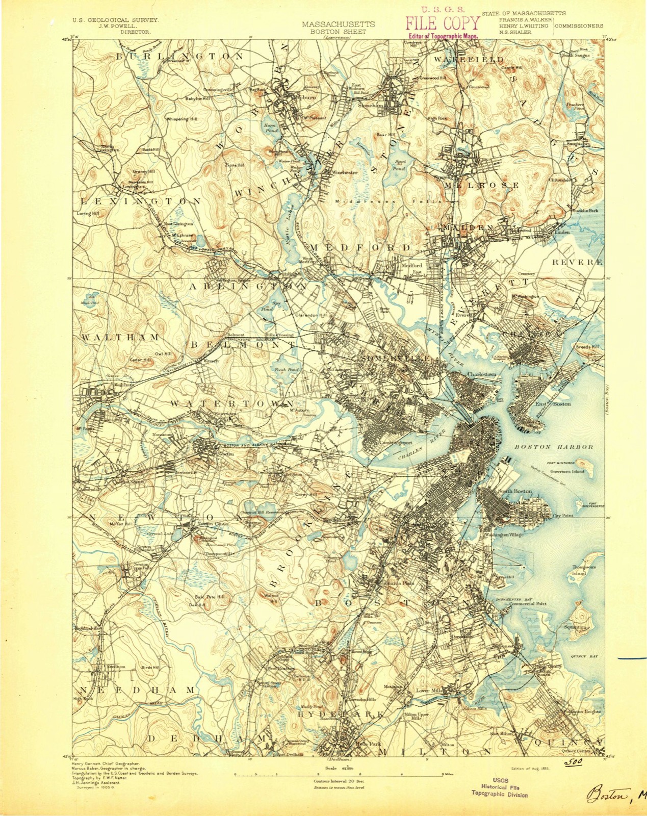
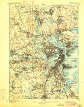
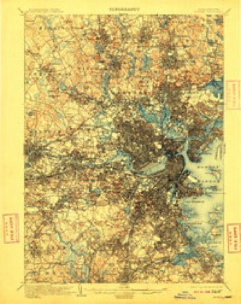
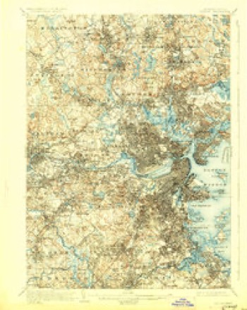
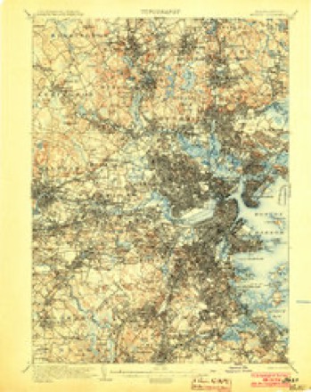
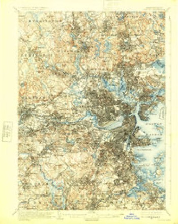
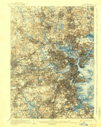
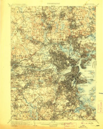
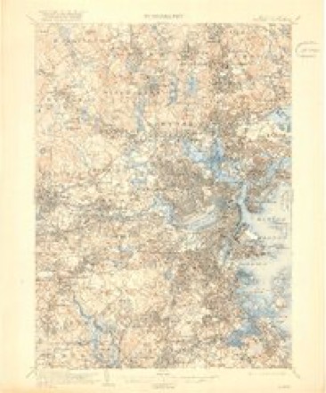
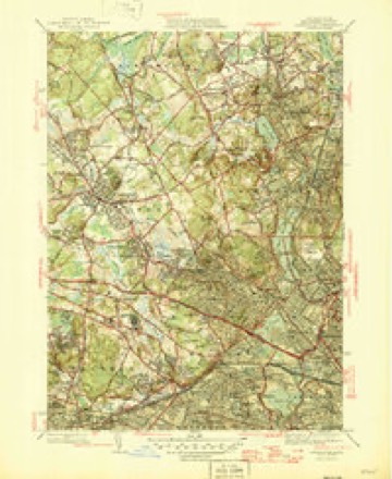
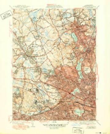
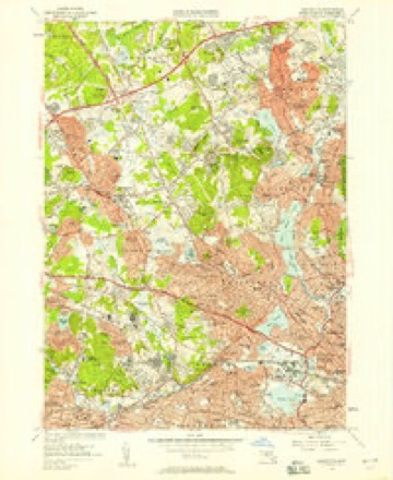
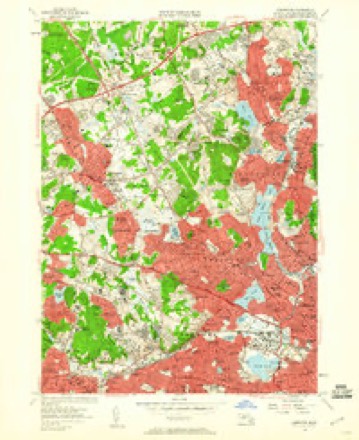
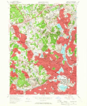
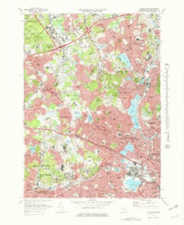
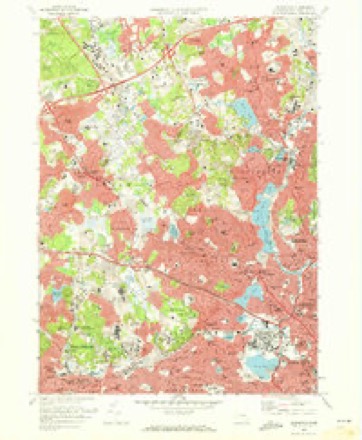
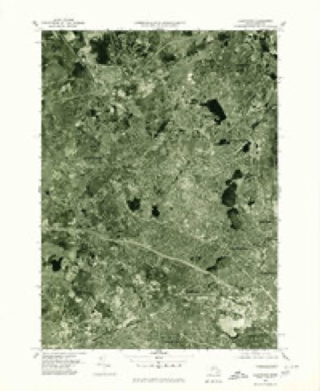
46 topographic sheets cover this place, the earliest surveyed in 1893 and the latest in 1989. It stands in Woburn City. It lies in ZIP code area 01801. It stands on Rag Rock Hill. The Survey maps it on the Lexington quadrangle. 40,876 people lived here at the 2020 count. It stands 98 feet above sea level.
Population over time
2 figuresWoburn grew from 38,120 to 40,876 between 2010 and 2020. These are the recorded population figures Wikidata holds for this place, reached through the Geographic Names Information System number this page is keyed on rather than by name, so they belong to this place and not to another of the same name. Most are census counts, but not all are: an early figure may be a founding or settlement estimate. The change column is computed, and is left blank where more than 20 years separate a figure from the one before it, because a gap that long is not a change between two counts.
| Year | People | Change |
|---|---|---|
| 2010 | 38,120 | |
| 2020 | 40,876 | +2,756 (+7%) |
Then and now
1893 to 1989The same ground, surveyed 96 years apart. Drag the handle to wipe between them. Both sheets are United States Geological Survey originals; neither has been altered.

Topographic sheets covering this place
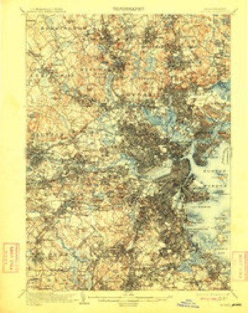
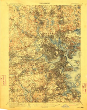
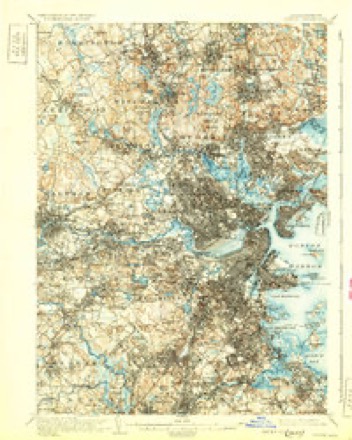
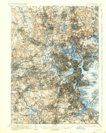
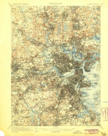
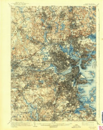
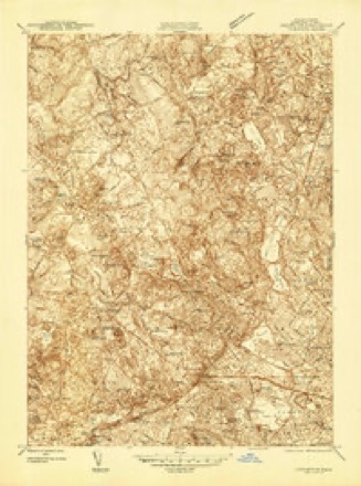
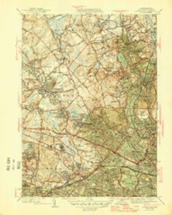
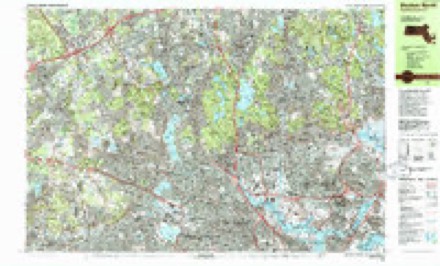
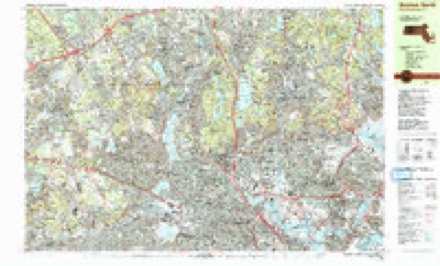
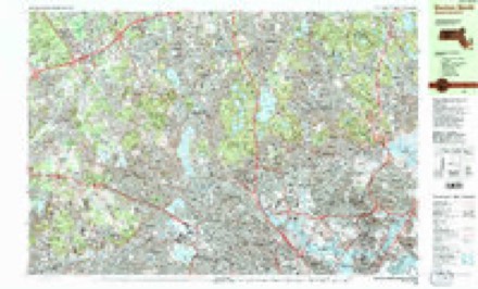
46 sheetsMatched by testing this settlement's coordinate against the published boundary of every sheet in the United States Geological Survey's historical collection. Each opens the scanned sheet at the Survey.
- 1893 USGS Boston quadrangle1:62500
- 1893 USGS Boston quadrangle1:62500
- 1893 USGS Boston quadrangle1:62500
- 1893 USGS Boston quadrangle1:62500
- 1903 USGS Boston quadrangle1:62500
- 1903 USGS Boston quadrangle1:62500
- 1903 USGS Boston quadrangle1:62500
- 1903 USGS Boston quadrangle1:62500
- 1903 USGS Boston quadrangle1:62500
- 1903 USGS Boston quadrangle1:62500
- 1903 USGS Boston quadrangle1:62500
- 1903 USGS Boston quadrangle1:62500
- 1903 USGS Boston quadrangle1:62500
- 1903 USGS Boston quadrangle1:62500
- 1903 USGS Boston quadrangle1:62500
- 1903 USGS Boston quadrangle1:62500
- 1903 USGS Boston quadrangle1:62500
- 1943 USGS Boston quadrangle1:125000
- 1944 USGS Lexington quadrangle1:24000
- 1946 USGS Lexington quadrangle1:31680
- 1946 USGS Lexington quadrangle1:31680
- 1946 USGS Lexington quadrangle1:31680
- 1948 USGS Boston quadrangle1:250000
- 1948 USGS Boston quadrangle1:250000
- 1956 USGS Boston quadrangle1:250000
- 1956 USGS Boston quadrangle1:250000
- 1956 USGS Boston quadrangle1:250000
- 1956 USGS Boston quadrangle1:250000
- 1956 USGS Boston quadrangle1:250000
- 1956 USGS Boston quadrangle1:250000
- 1956 USGS Lexington quadrangle1:24000
- 1956 USGS Lexington quadrangle1:24000
- 1956 USGS Lexington quadrangle1:24000
- 1958 USGS Boston quadrangle1:250000
- 1958 USGS Boston quadrangle1:250000
- 1961 USGS Boston quadrangle1:250000
- 1961 USGS Boston quadrangle1:250000
- 1971 USGS Lexington quadrangle1:25000
- 1971 USGS Lexington quadrangle1:24000
- 1977 USGS Lexington quadrangle1:25000
- 1985 USGS Boston quadrangle1:100000
- 1985 USGS Boston North quadrangle1:25000
- 1985 USGS Boston North quadrangle1:25000
- 1985 USGS Boston North quadrangle1:25000
- 1989 USGS Boston quadrangle1:100000
- 1989 USGS Boston quadrangle1:100000
















In the county-history sources
48,923 words on this townshipHistory of Middlesex County, Massachusetts : Containing Carefully Prepared Histories of Every City and Town in the County, published 1880 names this settlement in its chapter on Woburn City. These are the passages that mention it, exactly as the scans read.
Another matter of much interest required early attention, namely, the settlement of the boundary between Charlestown and Woburn. This had never been defined. Negotiations were opened from time to time, the initiative always being taken by Woburn until 1650, when the lines were finally established and entered upon the records of Charlesto\\Ti. A'early coeval with the settlement of Rev. T. Carter as minister, the first meeting-house was built. Of this structure little or nothing is known. Johnson, in his history, alludes to it as standing in a " small plain wliere four streets meet." The location is with good reason believed to have been at the easterly end of the Common, near where the soldiers' monument now stands. The house could not have been otherwise than a very plain affair, witliout tower or steeple. Humble as it was, it served the purpose of a place of public worship for about thirty years. A new one was voted by the town in 1671 and completed in 1673. It stood on the sharp spur east of the Common wliich is still known as Mceting-iiouse Hill. It was never dedicated, as tiie Puritan methods were in o])position to all rites and ceremonies in religious matters. This meeting-house was not divided into pews, as became the fashion in after years, - only tlie minister's and the deacons' wives having the privilege of pews allowed them. Thirty or forty years subsecpiently special permission was given to a newcomer from Boston to build a pew at his own cost. This led to requests of the same sort from other persons aristocratically inclined, which being granted, caused such an outbreak of feeling as to induce tiie town autiiorities to revoke tiie order. A committee was appointed to "seat the ])eople," and each person was assigned a regular place. In doing tiiis, reference was to be had to " estate, office, and age." Privilege was, therefore, recognized in the matter of position, if not in the form of pews. This meetinghouse, with one or two enlargements, served the religious uses of the town for eighty years, or until 1753. Rev. Thomas Carter occupied its pulpit for a few years, though for the larger part of his ministry he had preached in the one built about the time of his ordination. In 1678 his growing age and infirmities led the tf)Wii to consider the matter of providing iiim a colleague. An invitation Avas given to the Rev. Jabez Fox to become his associate. Tliis was accepted, and the two clergymen labored together harmoniously and satisfactorily to their people for six years, wlien Rev. Mr. Carter died, in the seventy-fourth year of his age and the forty-second of his ministry. Mr. Carter was born in England, and received his degree at St. Jolin's College, Cambridge. He was emiiientiv a good paslor, sound in doetriiie, and ready witli tender consolal ion and sympathizing words to meet the sjiiritual needs of his people. In illustralion of one of the customs of the town, now hap])ilv remitlcd lo the darkest corners of socici v, I he lolliiuing bill, I'liuiid on the town records, niiling u, th,'
Passage source: History of Middlesex County, Massachusetts : Containing Carefully Prepared Histories of Every City and Town in the County, published 1880.
Rev. Jabez Fox, associate pastor, now became the sole minister of the church. He continued in his position for twenty-four years, laboring successfully to promote the general interests of the parish. During the ministry of Rev. Mr. Carter, or from 1613 to 1675, Woburn had steadily increased in population, the land had been partially subdued, good crops were gathered, a better class of houses than those built at first had been erected, and some of those industries started which have since made the town so well known. The number of inhabitants cannot be given with accuracy, as no recorded census was taken till nearly a century later; but from the rates levied by the county, and the laws respecting the establishment of grammar schools, it is probable that the population was not far from 500. But this general prosperity Avas soon to receive a serious check on account of the outbreak of the Indian wars. King Philip, who had heretofore been in accord with the colonists, and had agreed by solemn treaty to live with them on amicable terms, now became restive under the restraints imposed by the compact, as well as moved by an ambition to rid the land of an alien race which seemed likely soon to become its sole possessors. He brought into combination his own and two or three other powerful tribes, and began a murderous assault upon all the exposed frontiers. Woburn was too near the central towns of the colony to receive much harm by the direct invasion of the wily enemy. Small raiding parties appeared in two or three instances in the town or its immediate vicinity, and although little loss was incurred by the burning of dwellings or destruction of crops, four persons were killed. This, however, was but a small portion of the suffering and Iiardship that befell Woburn in common with all tiie towns of New England. To carry on a vigorous and successful w'ar, the taxes of the people were enormously increased.
Passage source: History of Middlesex County, Massachusetts : Containing Carefully Prepared Histories of Every City and Town in the County, published 1880.
The first order from the court for service required thirteen men and five horses to be provided for the forces being raised. Fifteen liorses and three men were shortly after added to the requirement. These, however, were no more tiian a tliird "of the men who became soldiers in the war. From various sources it has been ascertained tliat fortyfive others were subsequently engaged in the service. The number of men from Woburn who took part in the fight at Narragansett, in December, 1675, is not certainly known, but it may be safely estimated at from forty to fifty. The whole number from Massachusetts was five hundred and twenty-seven. Of the Woburn soldiers engaged in tlie action, eight were either killed or wounded. On the deatli of Philip, in the August following, the war, so far as active hostilities were concerned, was closed ; but the depredations of the Indians in small parties and against isolated settlements were continued with much loss and cruelty to the people exposed.
Passage source: History of Middlesex County, Massachusetts : Containing Carefully Prepared Histories of Every City and Town in the County, published 1880.
Machine-read from a century-old scan, so expect the errors a machine makes: misspelled names, dropped words, stray characters.
Read the whole chapter on Woburn City - it names this place 62 more 62 times.
Fires near this place
62 since 2015Regional context, not property-specific evidence. The federal wildfire occurrence database lists 62 fires within 5 miles of Woburn between 2015 and 2020, burning about 100 acres in total. None started naturally. 27 were recorded as arson. Distance is straight-line from the map coordinates, so a fire counted here may appear on a neighbouring settlement's page as well.
| Reported cause | Fires |
|---|---|
| Arson/incendiarism | 27 |
| Missing data/not specified/undetermined | 12 |
| Recreation and ceremony | 11 |
| Debris and open burning | 8 |
| Misuse of fire by a minor | 2 |
| Equipment and vehicle use | 2 |
The most recent of them, most recent first, with the day each was reported and the service that recorded it.
| Date | Cause | Size | Reported by | Name on the report |
|---|---|---|---|---|
| 22 September 2020 | Recreation and ceremony | under an acre | Massachusetts Bureau of Forest Fire Control | not named |
| 18 September 2016 | Arson/incendiarism | under an acre | Massachusetts Bureau of Forest Fire Control | MELROSE |
| 18 September 2015 | Arson/incendiarism | under an acre | Massachusetts Bureau of Forest Fire Control | MELROSE |
| 5 August 2016 | Arson/incendiarism | under an acre | Massachusetts Bureau of Forest Fire Control | MEDFORD |
| 5 August 2015 | Arson/incendiarism | 6.0 acres | Massachusetts Bureau of Forest Fire Control | MEDFORD |
| 30 August 2016 | Arson/incendiarism | under an acre | Massachusetts Bureau of Forest Fire Control | MEDFORD |
| 30 August 2015 | Arson/incendiarism | under an acre | Massachusetts Bureau of Forest Fire Control | MEDFORD |
| 28 August 2016 | Arson/incendiarism | under an acre | Massachusetts Bureau of Forest Fire Control | MEDFORD |
Settlements close enough to share some of these fires:
Specimens collected near this place
12 of 1,534 shownRegional context, not property-specific evidence. Museums hold 1,534 specimens collected within 10 miles of Woburn between 1898 and 1975: 678 Animalia, 483 Plantae, 332 Fungi, 17 Bacteria, 9 Unrecorded, 9 Protozoa, 6 Chromista. 12 distinct Species records are shown. Collected by ?, A B Seymour, A B. Proper and others. Each is a physical object with a catalogue number, and each entry opens the museum's record. This is what was collected and kept, not a survey of what lives here - nothing can be concluded from a species being absent.
| Image | Species | Year | Collected by | Where, as recorded |
|---|---|---|---|---|
 | Trientalis borealis Raf. | 1900 | A. P. Chute | |
| Aglaospora profusa (Fr.) De Not. | 1898 | Collector unspecified | ||
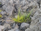 | Bulbostylis capillaris var. crebra Fernald | 1898 | C. H. Knowlton | Boston. |
 | Cantharellus infundibuliformis (Scop.) Fr. | 1898 | not recorded | Melrose. |
 | Cladonia coccifera (L.) Willd. | 1898 | Francis P Daniels | Cambridge |
 | Cladonia rangiferina (L.) Weber | 1898 | Francis P Daniels | Arlington Heights |
 | Cordyceps capitata (Holmsk.) Link | 1898 | Conant, [?] F. | Middlesex Fells |
 | Ctenidium malacodes Mitt. | 1898 | not recorded | |
 | Cucurbitaria elongata (Fr.) Grev. | 1898 | J. G. Hall | |
 | Acer carpinifolium Siebold & Zucc. | 1900 | A. K. Harrison | Harvard Botanic Garden, Cambridge. |
 | Acer palmatum var. dissectum (Thunb.) Miq. | 1900 | A. K. Harrison | Harvard Botanic Garden, Cambridge. |
 | Agaricus brunnescens Peck | 1900 | Morris, G. E. | Waltham |
All 1,534 specimens within 10 miles, at the Global Biodiversity Information Facility.
Mines and quarries near this place
10 of 15 shownRegional context, not property-specific evidence. The federal mineral resources record lists 15 workings within 5 miles of Woburn: 8 past producers, 4 producers, 3 plants. 7 still produce. What was taken out: Sand and Gravel, Construction, Stone, Crushed/Broken, Peat, Clay. Distance is straight-line from the map coordinates, so a quarry counted here may appear on a neighbouring settlement's page as well.
| Where | Site | Commodity | Status | Recorded |
|---|---|---|---|---|
| Austin Hastings--Woburn, Ma. | Iron | Plant | ||
| Dynamet Tech--Burlington, Ma. | Titanium | Plant | ||
| Ferro Ceramic Grinding--Wakefield | Silica | Plant | ||
| Mahoney:S Rocky Ledge | Peat | Past Producer | Peat | |
| Rocky Ledge Pit | Clay | Past Producer | ||
| Marlborough Plant/Polishing Plates | Stone, Crushed/Broken | Producer | ||
| Roma Stone Pit | Stone, Crushed/Broken | Producer | ||
| Burlington S & G Co., Inc. Pit | Sand and Gravel, Construction | Producer | ||
| Burlington Sand and Gravel | Sand and Gravel, Construction | Past Producer | Sedimentary | |
| D R Raymond | Sand and Gravel, Construction | Past Producer | Sedimentary |
Storms near this place
14 since 1996Regional context, not property-specific evidence. The National Weather Service names Woburn in 14 storm reports between 1996 and 2025: 6 thunderstorm wind, 3 hail, 2 flash flood, 2 flood. No death or injury is recorded in these reports. Each account below is quoted exactly as the forecast office filed it, from the NOAA Storm Events Database, and each date opens the federal record of that event.
| When | Event | Place named | Harm | What the report says |
|---|---|---|---|---|
| July 2014 | Thunderstorm Wind | North Woburn | $25,000 | Large trees and power lines were downed by thunderstorm winds, causing several road closures. Wires were downed on a roof on Conn Street. A phone pole on Marlboro Road was downed by thunderstorm winds. |
| August 2003 | Thunderstorm Wind | Woburn | $25,000 | no account filed |
| September 2008 | Flood | North Woburn | $15,000 | Heavy rain associated with Tropical Storm Hanna ranged from 2.28 inches to 3.64 inches. This resulted in flooding of the Woburn Police Department garage. Newspapers reported that as many as ten vehicles were towed from flood waters on Route 9 under the 126 overpass. This is a frequent problem in Framingham when it rains. |
| September 2007 | Lightning | North Woburn | $12,000 | Wires were reported down due to a lightning strike. |
| July 2014 | Thunderstorm Wind | North Woburn | $5,000 | Multiple tree limbs and wires on Main Street were downed by thunderstorm winds. |
| May 2025 | Thunderstorm Wind | North Woburn | $1,000 | In Woburn, several large trees were down. |
| August 2016 | Thunderstorm Wind | North Woburn | $1,000 | A large tree limb was downed onto Washington Street by thunderstorm winds. |
| June 2024 | Thunderstorm Wind | North Woburn | $500 | In Woburn, a tree was down on Wright St. |
| September 2022 | Flood | North Woburn | - | In Woburn, Olympia Ave. at Wheeling Ave. was flooded and impassable. Police also reported a nearby parking lot was flooded and closed. |
| June 2008 | Hail | North Woburn | - | Quarter sized hail fell near Route 128 Exit 36. |
| July 2016 | Hail | North Woburn | - | no account filed |
| July 2008 | Hail | North Woburn | - | no account filed |
| October 1996 | Flash Flood | Woburn | - | no account filed |
| October 1996 | Flash Flood | Woburn | - | no account filed |
Nearest settlements
The eight closest, with where each one stands in the county. Distances are straight-line, computed from the Geographic Names Information System coordinates.
| Map | Place | Distance | Sheets |
|---|---|---|---|
| Woburn Highlands | 0.6 miles | 46 | |
| Central Square | 0.8 miles | 46 | |
| Cummingsville | 1.2 miles | 46 | |
| Montvale | 1.5 miles | 46 | |
| Winchester Highlands | 1.6 miles | 46 | |
| Walnut Hill | 1.7 miles | 46 | |
| Mishawum | 1.7 miles | 41 | |
| Winnmere | 1.7 miles | 46 |
Elsewhere
Matched on this settlement's Geographic Names Information System number rather than its name, so it cannot be a different place of the same name in another state.
| Wikipedia article on Woburn | An encyclopaedic summary. Its text is share-alike, so it is linked here rather than copied. |
| Wikidata item Q54174 | The structured record the population and elevation above come from. Public domain (CC0). |
Provenance
This settlement is recorded in the Geographic Names Information System as feature 612270. The sheet list is computed by point-in-boundary test against the United States Geological Survey's historical topographic inventory. Both are works of the United States government and carry no copyright under 17 U.S.C. 105.
Wildfire. Short, Karen C. 2022. Spatial wildfire occurrence data for the United States, 1992-2020 [FPA_FOD_20221014]. 6th Edition. Fort Collins, CO: Forest Service Research Data Archive. https://doi.org/10.2737/RDS-2013-0009.6 Collected with United States Government funding and usable without additional permissions or fees.
Specimens. Global Biodiversity Information Facility (GBIF), https://www.gbif.org/. Only records licensed CC0 or CC BY are used. Records licensed CC BY-NC are excluded because this site carries advertising. Images are checked individually and any whose licence is non-commercial, no-derivatives or unreadable is refused.
Mines and quarries. USGS Mineral Resources Data System (MRDS) https://mrdata.usgs.gov/mrds/ A work of the United States government, no copyright under 17 U.S.C. 105.
Storms. NOAA National Centers for Environmental Information, Storm Events Database https://www.ncei.noaa.gov/stormevents/ A work of the United States government, no copyright under 17 U.S.C. 105. Narratives are quoted verbatim from the National Weather Service report and are not edited or summarised.