 Block
Block
Cutler, Ohio
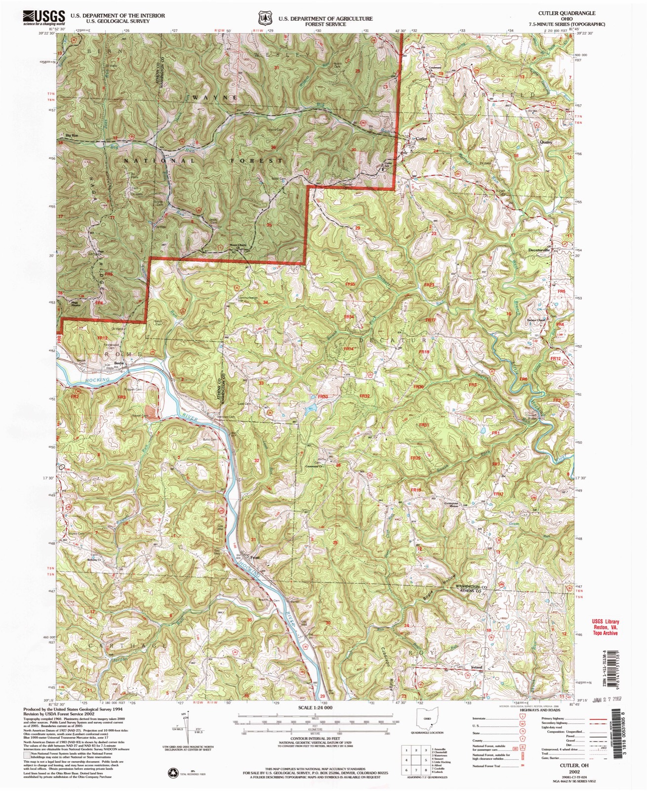
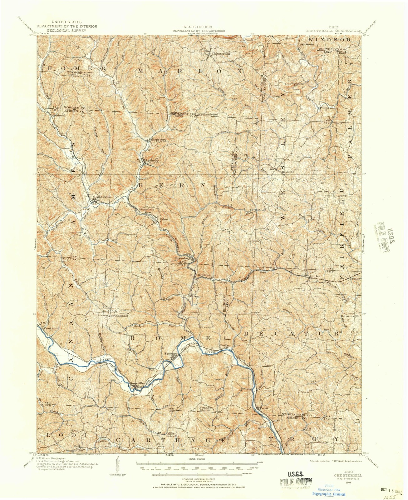
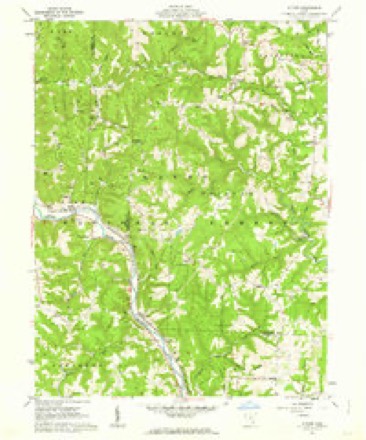
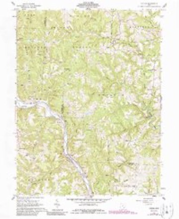
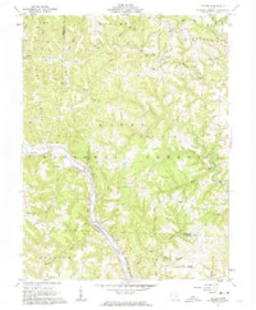
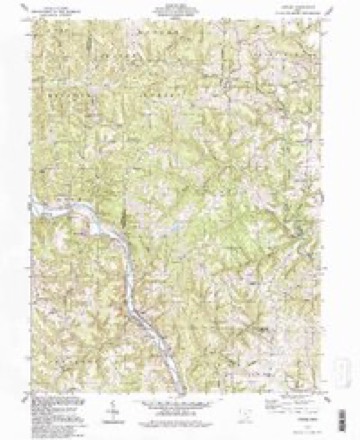
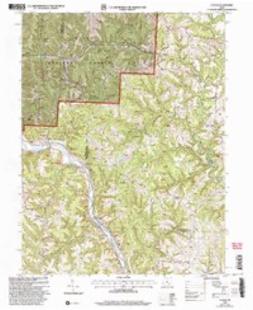
13 topographic sheets cover this place, the earliest surveyed in 1904 and the latest in 2002. It stands in Fairfield Township. It lies in ZIP code area 45724. It stands on Wildcat Run. The Survey maps it on the Cutler quadrangle. It stands 807 feet above sea level.
Then and now
1904 to 2002The same ground, surveyed 98 years apart. Drag the handle to wipe between them. Both sheets are United States Geological Survey originals; neither has been altered.
Compare 1904 against another survey:
Topographic sheets covering this place
13 sheetsMatched by testing this settlement's coordinate against the published boundary of every sheet in the United States Geological Survey's historical collection. Each opens the scanned sheet at the Survey.
- 1904 USGS Chesterhill quadrangle1:62500
- 1906 USGS Chesterhill quadrangle1:62500
- 1949 USGS Clarksburg quadrangle1:250000
- 1956 USGS Clarksburg quadrangle1:250000
- 1956 USGS Clarksburg quadrangle1:250000
- 1961 USGS Clarksburg quadrangle1:250000
- 1961 USGS Cutler quadrangle1:24000
- 1961 USGS Cutler quadrangle1:24000
- 1961 USGS Cutler quadrangle1:24000
- 1981 USGS Parkersburg quadrangle1:100000
- 1988 USGS Clarksburg quadrangle1:250000
- 1994 USGS Cutler quadrangle1:24000
- 2002 USGS Cutler quadrangle1:24000





What happened here
An account from the chapter on Fairfield township, The inset identifies its exact source book and publication year.
Epidemic
In 1820 this locality was visited by some kind of fever called by the settlers the "cold plague," and such were the ravages of the disease that it required all the energies of the able-bodied citizens to care for the afflicted ones. It is stated that over fifty persons were carried off by this awful scourge.
In the county-history sources
7,590 words on this townshipHistory of Washington County, Ohio, published 1881 names this settlement in its chapter on Fairfield Township. These are the passages that mention it, exactly as the scans read.
Little Hocking river takes its rise in the western part of the township, and, receiving several unimportant tributaries, flows in a southeastern direction until it reaches a point southeast of Dunbar post office, where it turns westward for a short distance, and thence directly south, leaving the township west of the central part of the southern boundary. Other smali branches drain the various parts of the township, flowing both north and south from the great highland divide extending across the township.
Passage source: History of Washington County, Ohio, published 1881.
Alexander A. Campbell (Cutler station) came to this township in April, 1856; he was born in Butler county, Pennsylvania, in 1821. His wife, Mary Myers, to whom he was married in 1844, was born in Guernsey county, Ohio, in 1825. Their family consists of eight children, five of whom are now living, namely: Samantha A., wife of E. G. Bundy (Kansas); Mary, wife of Jesse Bentley (Clinton county, Ohio); William is married and lives at Cutler Station; Charles and Ulysses Grant both live at home. He was in the late war serving in the Seventy-third Ohio volunteer infantry, company F, from October, 1861, to January, 1865, during which time he was in thirty-two engagements, which includes the second battle of Manasses, Gettysburgh and Mission Ridge, in General Hooker's brigade. At present he keeps the hotel at Cutler station, and is on the construction corps of the Marietta & Cincinnati railroad.
Passage source: History of Washington County, Ohio, published 1881.
The first school-house was built on the north side of the present State road, about one-half mile west of Fishtown, about 1819. It was known as Lake's school-house, after Thomas Lake, who lived near it. Oliver Miller, father of Jonathan Miller, now living at Cutler station, was the first teacher who '"'wielded the birchen" and directed the intellectual development of the sturdy pioneer sons and daughters in this primitive log-cabin schoolhouse. A few crumbling stones now remain to mark the spot of this first school-house, and Daniel Dunbar and John Kidwell are the only surviving members of the school.
Passage source: History of Washington County, Ohio, published 1881.
Machine-read from a century-old scan, so expect the errors a machine makes: misspelled names, dropped words, stray characters.
Read the whole chapter on Fairfield Township - it names this place 5 more 5 times.
Fires near this place
3 since 2010Regional context, not property-specific evidence. The federal wildfire occurrence database lists 3 fires within 5 miles of Cutler between 2010 and 2014, burning about 3 acres in total. None started naturally. None was recorded as arson. Distance is straight-line from the map coordinates, so a fire counted here may appear on a neighbouring settlement's page as well.
| Reported cause | Fires |
|---|---|
| Debris and open burning | 3 |
The most recent of them, most recent first, with the day each was reported and the service that recorded it.
| Date | Cause | Size | Reported by | Name on the report |
|---|---|---|---|---|
| 27 March 2014 | Debris and open burning | 3.0 acres | Ohio Department of Natural Resources | not named |
| 21 March 2010 | Debris and open burning | under an acre | Ohio Department of Natural Resources | not named |
| 11 March 2010 | Debris and open burning | under an acre | Ohio Department of Natural Resources | not named |
Settlements close enough to share some of these fires:
Specimens collected near this place
12 of 192 shownRegional context, not property-specific evidence. Museums hold 192 specimens collected within 10 miles of Cutler between 1905 and 1975: 160 Animalia, 25 Fungi, 7 Plantae. 12 distinct Species records are shown. Collected by A. C. Kinsey, Cavanah, et al., Cavannah, et al. and others. Each is a physical object with a catalogue number, and each entry opens the museum's record. This is what was collected and kept, not a survey of what lives here - nothing can be concluded from a species being absent.
| Image | Species | Year | Collected by | Where, as recorded |
|---|---|---|---|---|
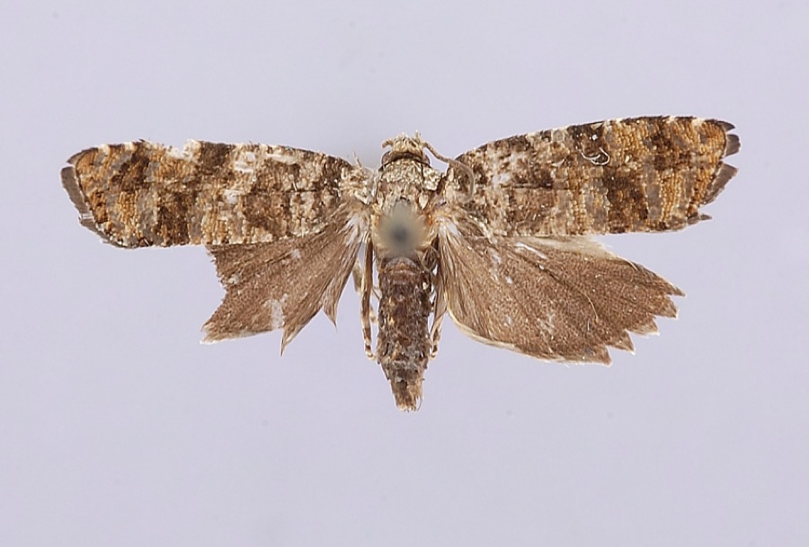 | Petrova houseri Miller, 1959 | 1954 | W. Miller | Veto |
| Alternaria solani Sorauer | 1905 | Post A. Lee | Washington Bottom | |
 | Guignardia bidwellii (Ellis) Viala & Ravaz | 1905 | Post A. L. | Washington Bottom |
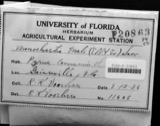 | Monochaetia mali (Ellis & Everh.) Sacc. & D.Sacc. | 1905 | Post A. L. | Washington Bottom |
 | Phyllosticta mali var. camensis Traverso | 1905 | Post A. L. | Washington Bottom |
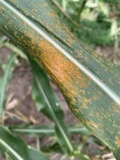 | Puccinia sorghi Schwein. | 1905 | Johnson T. C. | Washington |
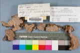 | Fomes roseus (Alb. & Schwein.) Fr. | 1907 | Hartley Carl P. | Washington |
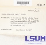 | Fomes subroseus (Weir) Overh. | 1907 | Hartley Carl | Washington |
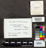 | Trametes subrosea Weir | 1907 | Hartley Carl | Washington |
 | Cynips Linnaeus, 1758 | 1928 | A. C. Kinsey | Coolville |
 | Etheostoma nigrum Rafinesque, 1820 | 1930 | Trautman, M. B. (Milton Bernard) & Foster, R. (Robert) | Wolf Creek tributary, within Wesley township, near Stockport, Wesley township |
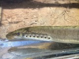 | Lampetra aepyptera (Abbott, 1860) | 1930 | Eggleston, H. K. | South Fork South Branch Wolf Creek, near Deming Rd, ~2.4 miles south of Watertown OH, Barlow township |
All 192 specimens within 10 miles, at the Global Biodiversity Information Facility.
Storms near this place
3 since 2010Regional context, not property-specific evidence. The National Weather Service names Cutler in 3 storm reports between 2010 and 2022: 1 flood, 1 thunderstorm wind, 1 hail. No death or injury is recorded in these reports. Each account below is quoted exactly as the forecast office filed it, from the NOAA Storm Events Database, and each date opens the federal record of that event.
| When | Event | Place named | Harm | What the report says |
|---|---|---|---|---|
| May 2010 | Flood | Cutler | $15,000 | Numerous roads were closed by flooded creeks. |
| November 2013 | Thunderstorm Wind | Cutler | $2,000 | Trees were knocked down along Federal Road inside Washington County, but near the border with Athens County. |
| March 2022 | Hail | Cutler | - | no account filed |
Nearest settlements
The eight closest, with where each one stands in the county. Distances are straight-line, computed from the Geographic Names Information System coordinates.
| Map | Place | Distance | Sheets |
|---|---|---|---|
| Qualey | 1.7 miles | 13 | |
| Decaturville | 2.3 miles | 13 | |
| Dunbar | 2.6 miles | 17 | |
| Tick Ridge | 3.9 miles | 17 | |
| Napier | 4.1 miles | 17 | |
| Fillmore | 4.2 miles | 17 | |
| Bartlett | 4.7 miles | 14 | |
| Layman | 4.9 miles | 16 |
Elsewhere
Matched on this settlement's Geographic Names Information System number rather than its name, so it cannot be a different place of the same name in another state.
| Wikipedia article on Cutler | An encyclopaedic summary. Its text is share-alike, so it is linked here rather than copied. |
| Wikidata item Q5196869 | The structured record the population and elevation above come from. Public domain (CC0). |
Provenance
This settlement is recorded in the Geographic Names Information System as feature 1075667. The sheet list is computed by point-in-boundary test against the United States Geological Survey's historical topographic inventory. Both are works of the United States government and carry no copyright under 17 U.S.C. 105.
Wildfire. Short, Karen C. 2022. Spatial wildfire occurrence data for the United States, 1992-2020 [FPA_FOD_20221014]. 6th Edition. Fort Collins, CO: Forest Service Research Data Archive. https://doi.org/10.2737/RDS-2013-0009.6 Collected with United States Government funding and usable without additional permissions or fees.
Specimens. Global Biodiversity Information Facility (GBIF), https://www.gbif.org/. Only records licensed CC0 or CC BY are used. Records licensed CC BY-NC are excluded because this site carries advertising. Images are checked individually and any whose licence is non-commercial, no-derivatives or unreadable is refused.
Storms. NOAA National Centers for Environmental Information, Storm Events Database https://www.ncei.noaa.gov/stormevents/ A work of the United States government, no copyright under 17 U.S.C. 105. Narratives are quoted verbatim from the National Weather Service report and are not edited or summarised.