 Block
Block
Bartlett, Ohio
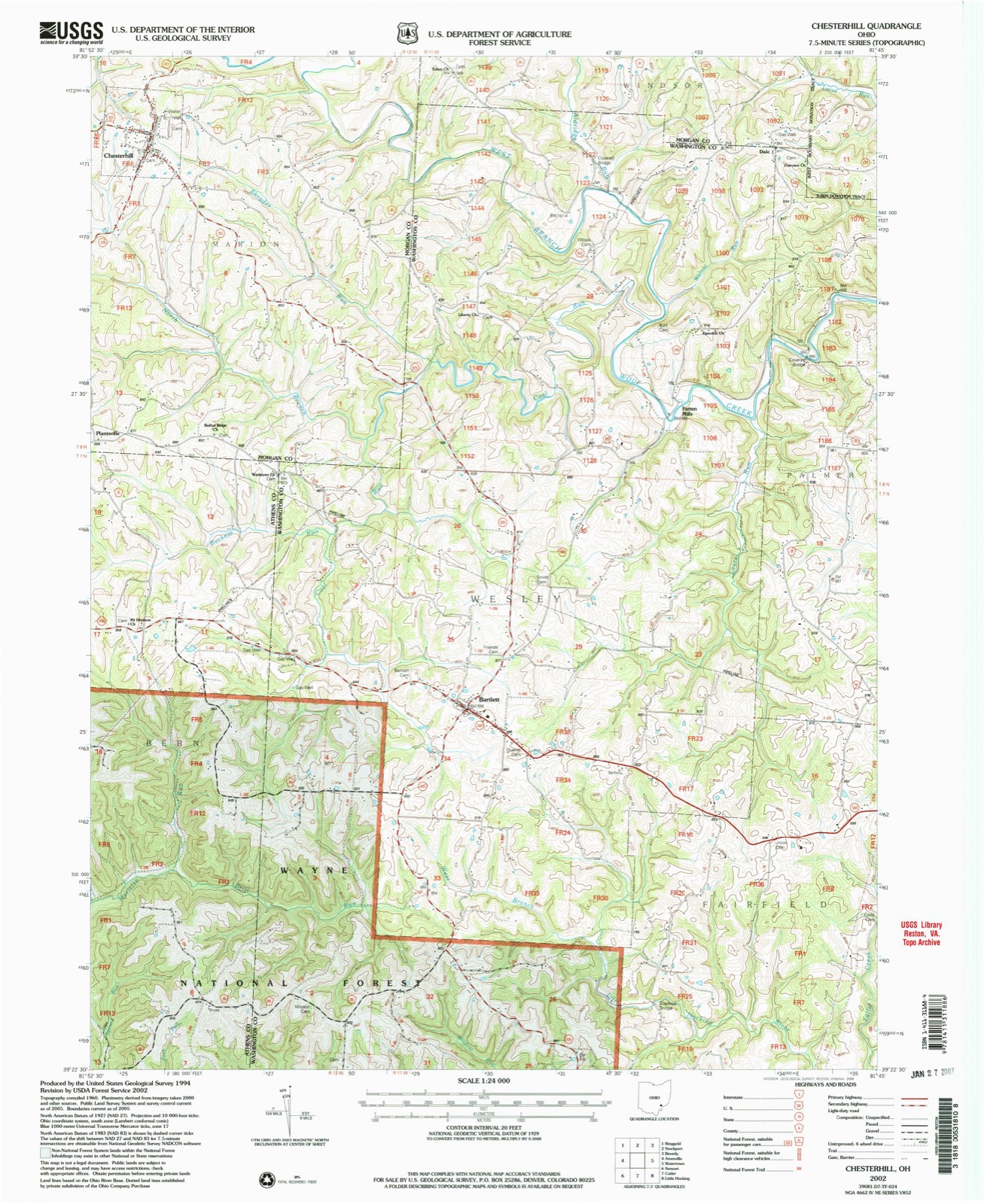
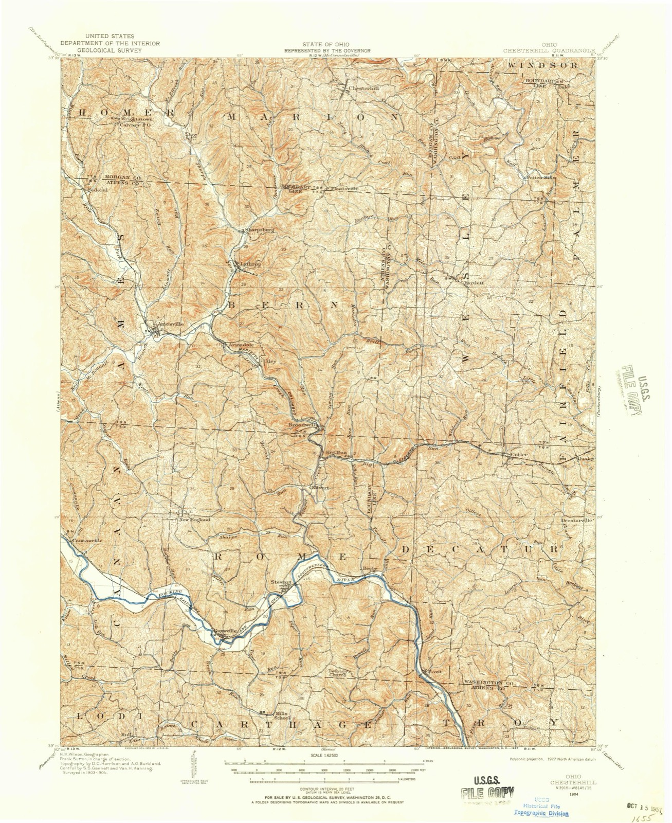
14 topographic sheets cover this place, the earliest surveyed in 1904 and the latest in 2002. It stands in Wesley Township. It lies in ZIP code area 45711. It stands on Mile Run. The Survey maps it on the Chesterhill quadrangle. It stands 879 feet above sea level.
Then and now
1904 to 2002The same ground, surveyed 98 years apart. Drag the handle to wipe between them. Both sheets are United States Geological Survey originals; neither has been altered.
Compare 1904 against another survey:
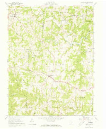
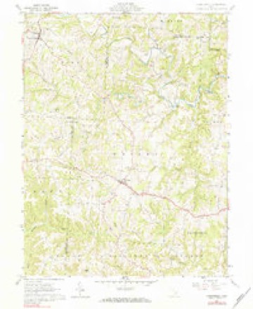
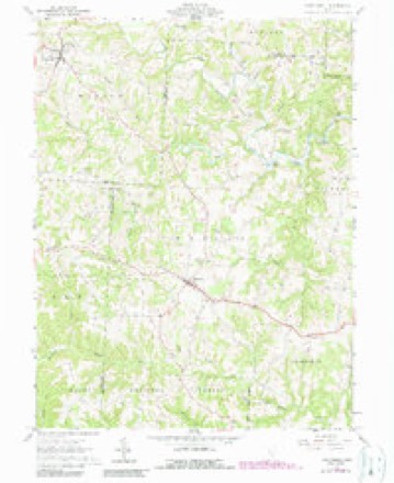
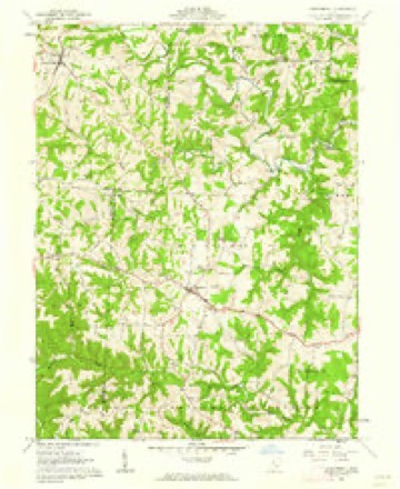
Topographic sheets covering this place
14 sheetsMatched by testing this settlement's coordinate against the published boundary of every sheet in the United States Geological Survey's historical collection. Each opens the scanned sheet at the Survey.
- 1904 USGS Chesterhill quadrangle1:62500
- 1906 USGS Chesterhill quadrangle1:62500
- 1949 USGS Clarksburg quadrangle1:250000
- 1956 USGS Clarksburg quadrangle1:250000
- 1956 USGS Clarksburg quadrangle1:250000
- 1961 USGS Chesterhill quadrangle1:24000
- 1961 USGS Chesterhill quadrangle1:24000
- 1961 USGS Chesterhill quadrangle1:24000
- 1961 USGS Chesterhill quadrangle1:24000
- 1961 USGS Clarksburg quadrangle1:250000
- 1981 USGS Parkersburg quadrangle1:100000
- 1988 USGS Clarksburg quadrangle1:250000
- 1994 USGS Chesterhill quadrangle1:24000
- 2002 USGS Chesterhill quadrangle1:24000





In the county-history sources
16,247 words on this townshipHistory of Washington County, Ohio, published 1881 names this settlement in its chapter on Wesley Township. These are the passages that mention it, exactly as the scans read.
The first officials of the township were appointed August 12, 1810, viz.: Trustees, Joseph Palmer, Cornelius Houghland and John Rardin; township clerk, Samuel Clark; overseer of poor, Abner Woodruff and Duty Greene; fence-viewers, John Danley and Henry Coons; lister of taxes, James Lawton; appraiser, William Vincent; supervisors, Robert Miller, David Gard, Isaac Woodruff, William Rardin and Edmund Neal; constables, David Ewell and Isaac Woodruff; treasurer, John Curtis. In the following October, Joseph Palmer and Cornelius Houghland were elected justices of the peace.
Passage source: History of Washington County, Ohio, published 1881.
On the thirteenth of April, 1816, the road districts were first laid out by Cornelius Houghland, John Danley and William Rardin, under Benajah Horse, township clerk. The first notice against the poor was issued by Joseph Palmer and William Coons, overseers, March 4, 1818, warning "James Lockwood and Pheebe, his wife, and all their children, to depart out of this township, as it is found they have no visible means of support and are in danger of coming onto the township." This notice was served by Michael Gard, constable, and it is supposed that its purpose was effected and that the poor family was compelled to "move on" out of the township.
Passage source: History of Washington County, Ohio, published 1881.
James King was born in Pennsylvania in 1818. He removed to Morgan county, Ohio, in 1824. In 1841 he was married to Deborah Stephen, born in Berks county, Pennsylvania, in 1819. In 1843 he came to this county and settled in Wesley, where he now resides. He has had a family of eleven children, eight of whom are living, viz: Rebecca, wife of A. W. Naylor, banker, Des Moines, Iowa; Nora, wife of Professor D. R. Moore, of Mahaska, Iowa; Anna M., Ida A., wife of J. C. Picket; James S., a Methodist minister; Mary, wife of Professor J. Wolf; Helen A. and Charles. Mr. King has served nine years as township trustee; was elected three times as land appraiser of the township; was one of the two who first advocated the establishing of Bartlett academy, of which he has since been a trustee. He became a member of the Masonic order in 1852, and was one of the charter members of Bartlett Lodge, No. 293. He has always been an active temperance man.
Passage source: History of Washington County, Ohio, published 1881.
Machine-read from a century-old scan, so expect the errors a machine makes: misspelled names, dropped words, stray characters.
Read the whole chapter on Wesley Township - it names this place 2 more 2 times.
Fires near this place
1 since 2010Regional context, not property-specific evidence. The federal wildfire occurrence database lists 1 fire within 5 miles of Bartlett between 2010 and 2010, burning about 0 acres in total. None started naturally. None was recorded as arson. Distance is straight-line from the map coordinates, so a fire counted here may appear on a neighbouring settlement's page as well.
| Reported cause | Fires |
|---|---|
| Debris and open burning | 1 |
The most recent of them, most recent first, with the day each was reported and the service that recorded it.
| Date | Cause | Size | Reported by | Name on the report |
|---|---|---|---|---|
| 21 March 2010 | Debris and open burning | under an acre | Ohio Department of Natural Resources | not named |
Settlements close enough to share some of these fires:
Specimens collected near this place
12 of 147 shownRegional context, not property-specific evidence. Museums hold 147 specimens collected within 10 miles of Bartlett between 1927 and 1975: 127 Animalia, 15 Fungi, 5 Plantae. 12 distinct Species records are shown. Collected by Albaugh, D. W. (Douglas W.), Albaugh, Douglas W, Cutler & Wood, L. and others. Each is a physical object with a catalogue number, and each entry opens the museum's record. This is what was collected and kept, not a survey of what lives here - nothing can be concluded from a species being absent.
| Image | Species | Year | Collected by | Where, as recorded |
|---|---|---|---|---|
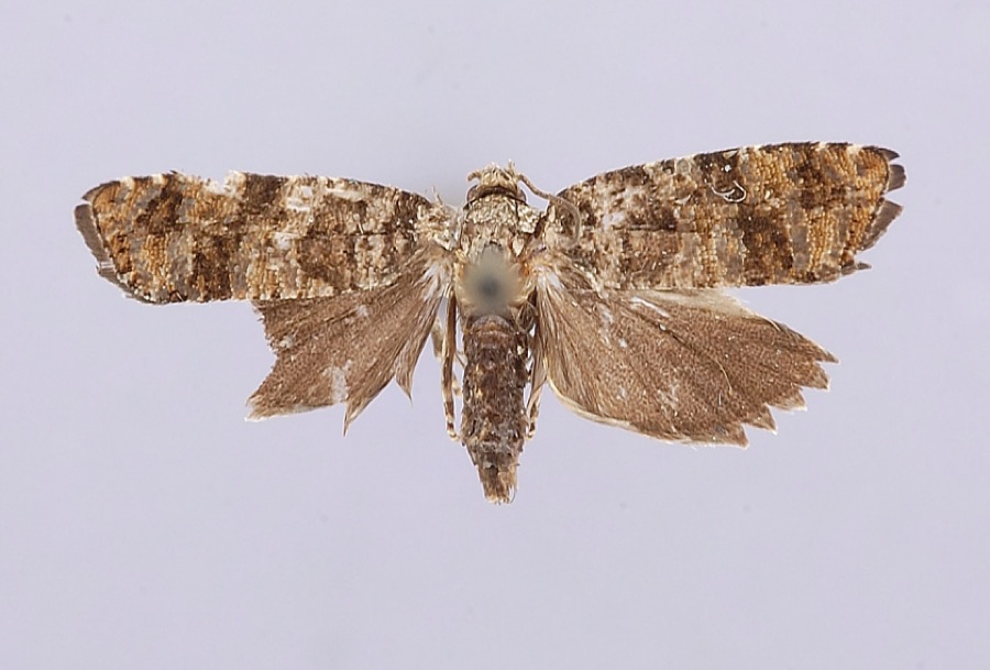 | Petrova houseri Miller, 1959 | 1954 | W. Miller | Veto |
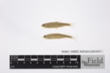 | Notropis umbratilis (Girard, 1856) | 1927 | Trautman, M. B. (Milton Bernard) & Foster, R. (Robert) | West Branch Wolf Creek, within Penn township, near Chesterhill, Penn township |
 | Etheostoma nigrum Rafinesque, 1820 | 1930 | Trautman, M. B. (Milton Bernard) & Foster, R. (Robert) | Wolf Creek tributary, within Wesley township, near Stockport, Wesley township |
 | Lampetra aepyptera (Abbott, 1860) | 1930 | Eggleston, H. K. | South Fork South Branch Wolf Creek, near Deming Rd, ~2.4 miles south of Watertown OH, Barlow township |
 | Rhinichthys atratulus meleagris Agassiz, 1854 | 1930 | Trautman, M. B. (Milton Bernard) & Foster, R. (Robert) | Wolf Creek tributary, within Wesley township, near Stockport, Wesley township |
 | Notophthalmus viridescens viridescens (Rafinesque, 1820) | 1931 | Walker, C. F. (Charles F.) & Trautman, M. B. (Milton Bernard) | Fairfield Twp., Washington Co., Ohio |
 | Plethodon cinereus (Green, 1818) | 1932 | Wolfram, G. (George) | Roxbury, Morgan Co., Ohio |
 | Amphinemura nigritta (Provancher, 1876) | 1941 | W. C. Stehr | Cutler |
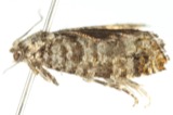 | Retinia houseri (Miller, 1959) | 1952 | Miller, W.E. | Veto |
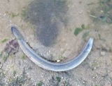 | Anguilla rostrata (Lesueur, 1817) | 1954 | Rowley, H. A. | Muskingum River @ Luke Chute |
 | Ammocrypta pellucida (Putnam, 1863) | 1973 | Trautman, M. B. (Milton Bernard) & Albaugh, D. | Muskingum River, below Luke Chute lock and Dam, 4 miles east of Stockport OH, Windsor township |
 | Etheostoma caeruleum Storer, 1845 | 1973 | Trautman, M. B. (Milton Bernard) & Albaugh, D. | Muskingum River, below Luke Chute lock and Dam, 4 miles east of Stockport OH, Windsor township |
All 147 specimens within 10 miles, at the Global Biodiversity Information Facility.
Storms near this place
14 since 1996Regional context, not property-specific evidence. The National Weather Service names Bartlett in 14 storm reports between 1996 and 2026: 6 hail, 4 thunderstorm wind, 3 flash flood, 1 tornado. No death or injury is recorded in these reports. Each account below is quoted exactly as the forecast office filed it, from the NOAA Storm Events Database, and each date opens the federal record of that event.
| When | Event | Place named | Harm | What the report says |
|---|---|---|---|---|
| June 2012 | Thunderstorm Wind | Bartlett | $3,000,000 | Scattered locations throughout the county had trees or large branches blown down. Nine of the 10 power substations in the county were in the dark. Nearly 25,000 customers lost electricity. The public infrastructure damage assessment was around $975,000. |
| August 2013 | Flash Flood | Bartlett | $450,000 | Widespread flash flooding occurred across southern Washington County during the predawn hours. Widespread street flooding occurred in Belpre and Marietta with basement flooding. One resident reported 2 feet of water in their basement. ||Near the mouth of Mill Branch with the Little Hocking River, vehicles were flooded and water got into several homes. Also along the Little Hocking River, 2 cars were submerged along Oxbow Road. The water was 2 to 4 feet deep in spots. An 18 year old female from 1 of the vehicles made it safely out, but her truck was submerged in a soy bean field off the road. Minor flooding occurred in a school west of Fleming. |
| October 2016 | Thunderstorm Wind | Bartlett | $25,000 | House trailer blown off foundation and rolled onto its side. |
| June 2015 | Tornado (EF0) | Bartlett | $15,000 | A brief EF0 tornado occurred off of Tullis Road, southwest of Bartlett. The estimated strongest wind gust was around 85 mph.||Several trees were uprooted and numerous large branches were snapped. One house and an outbuilding were damaged, mainly to the roof and siding. Also, a small aluminum boat was thrown from the edge of the pond, 140 yards and wrapped around a tree. |
| April 2002 | Hail | Bartlett | $10,000 | no account filed |
| August 2011 | Flash Flood | Bartlett | $5,000 | Small streams overflowed onto roads. Cats Creek was one specific example with roads flooded just north of Lowell. |
| May 1999 | Thunderstorm Wind | Bartlett | $5,000 | The tops of trees were blown down onto Route 550. One fallen tree damaged a vehicle. |
| May 2019 | Flash Flood | Bartlett | $2,000 | State Route 555 was flooded between Cutler and Bartlett. |
| April 2026 | Thunderstorm Wind | Bartlett | - | A tree fell into powerlines at State Rt 550 and Murphy Road. The powerlines caught on fire. |
| February 2023 | Hail | Bartlett | - | no account filed |
| May 2017 | Hail | Bartlett | - | no account filed |
| May 2014 | Hail | Bartlett | - | no account filed |
| June 2008 | Hail | Bartlett | - | no account filed |
| August 1996 | Hail | Bartlett | - | no account filed |
Nearest settlements
The eight closest, with where each one stands in the county. Distances are straight-line, computed from the Geographic Names Information System coordinates.
| Map | Place | Distance | Sheets |
|---|---|---|---|
| Patten Mills | 3.2 miles | 14 | |
| Cutler | 4.7 miles | 13 | |
| Layman | 5.0 miles | 16 | |
| Qualey | 5.4 miles | 13 | |
| Dale | 5.5 miles | 14 | |
| Dunbar | 5.7 miles | 17 | |
| Wolf Creek | 6.1 miles | 16 | |
| Napier | 6.1 miles | 17 |
Elsewhere
Matched on this settlement's Geographic Names Information System number rather than its name, so it cannot be a different place of the same name in another state.
| Wikipedia article on Bartlett | An encyclopaedic summary. Its text is share-alike, so it is linked here rather than copied. |
| Wikidata item Q4865379 | The structured record the population and elevation above come from. Public domain (CC0). |
Provenance
This settlement is recorded in the Geographic Names Information System as feature 1075313. The sheet list is computed by point-in-boundary test against the United States Geological Survey's historical topographic inventory. Both are works of the United States government and carry no copyright under 17 U.S.C. 105.
Wildfire. Short, Karen C. 2022. Spatial wildfire occurrence data for the United States, 1992-2020 [FPA_FOD_20221014]. 6th Edition. Fort Collins, CO: Forest Service Research Data Archive. https://doi.org/10.2737/RDS-2013-0009.6 Collected with United States Government funding and usable without additional permissions or fees.
Specimens. Global Biodiversity Information Facility (GBIF), https://www.gbif.org/. Only records licensed CC0 or CC BY are used. Records licensed CC BY-NC are excluded because this site carries advertising. Images are checked individually and any whose licence is non-commercial, no-derivatives or unreadable is refused.
Storms. NOAA National Centers for Environmental Information, Storm Events Database https://www.ncei.noaa.gov/stormevents/ A work of the United States government, no copyright under 17 U.S.C. 105. Narratives are quoted verbatim from the National Weather Service report and are not edited or summarised.