 Block
Block
Decaturville, Ohio
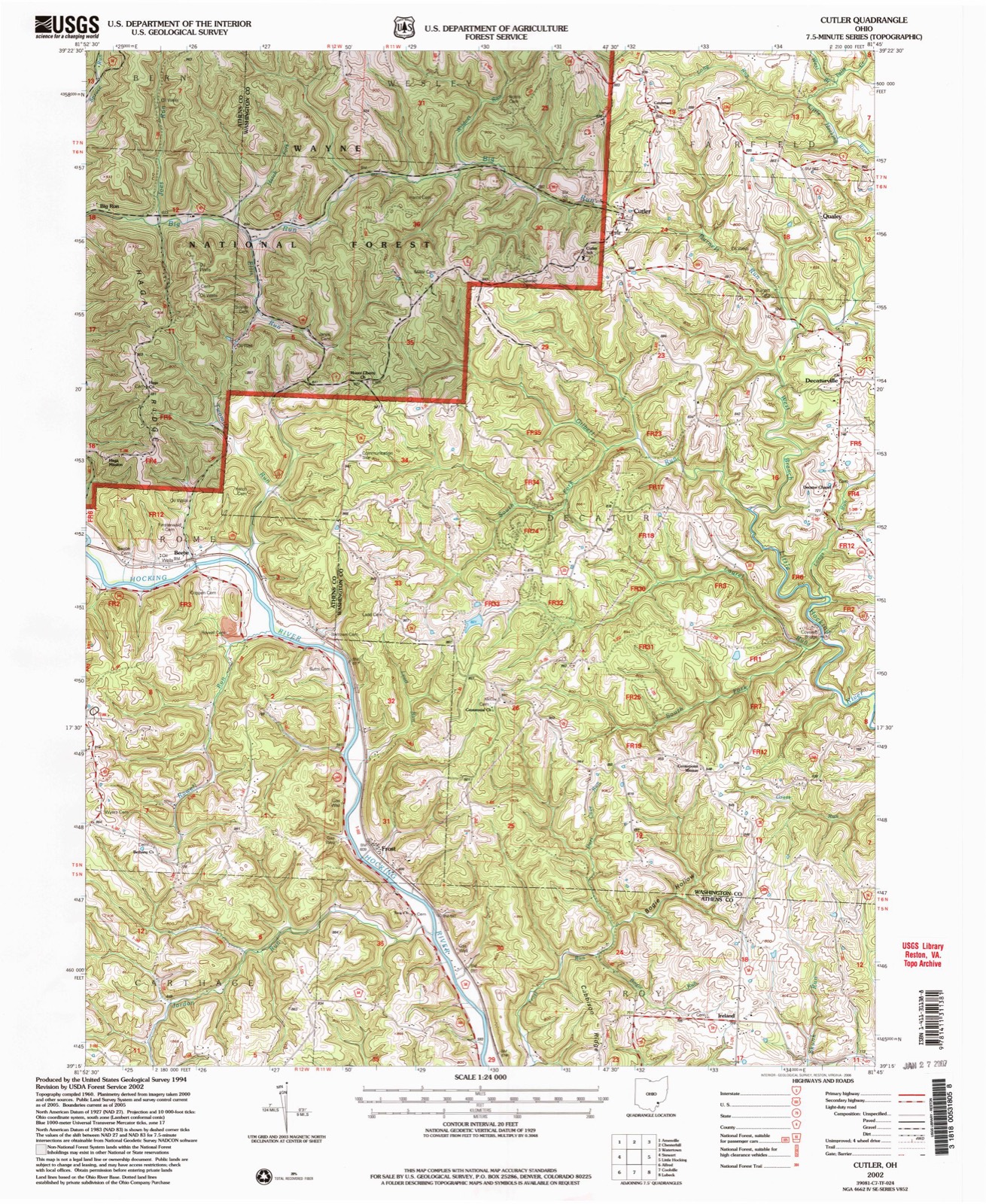
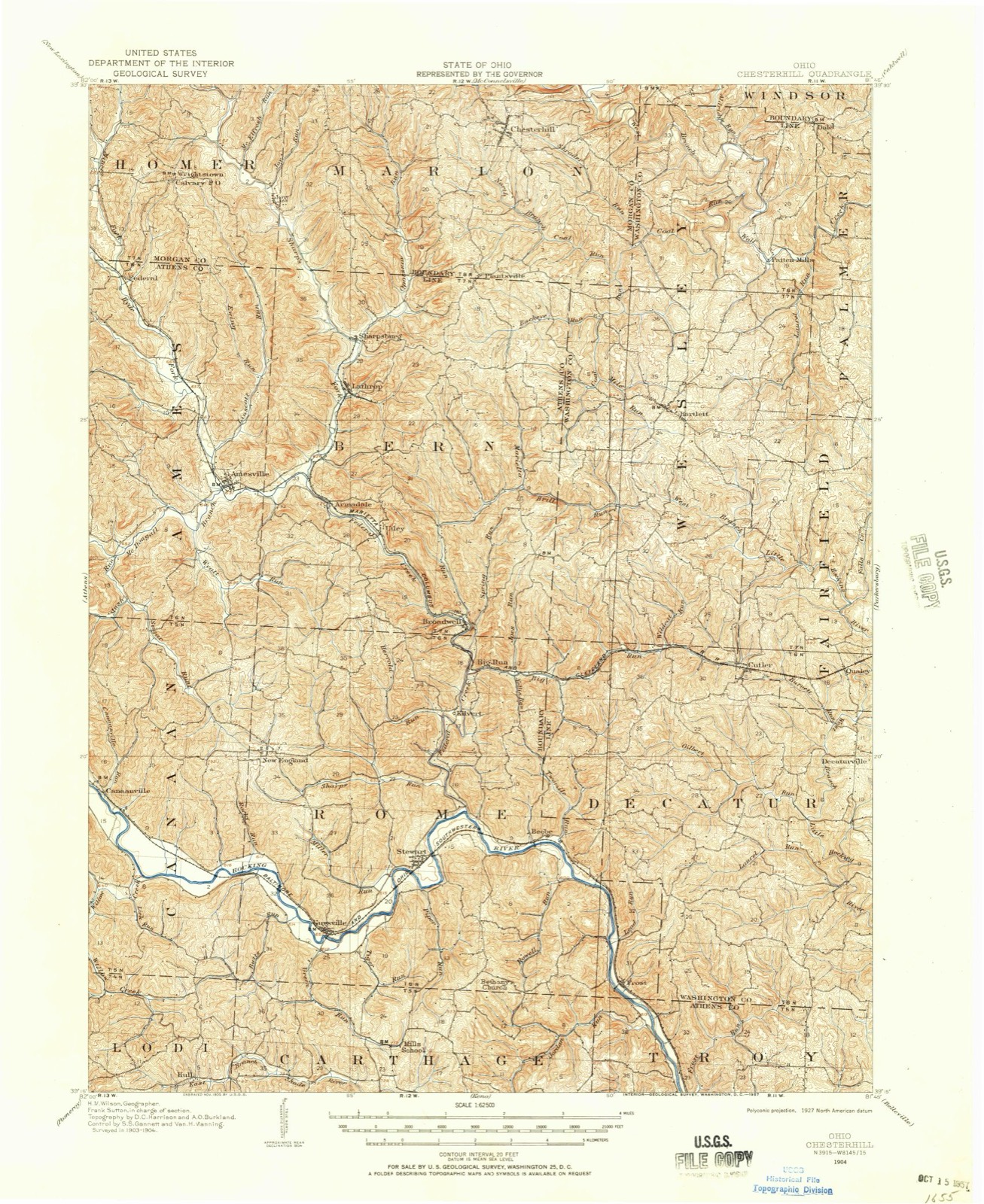
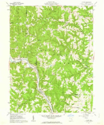
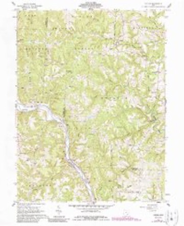
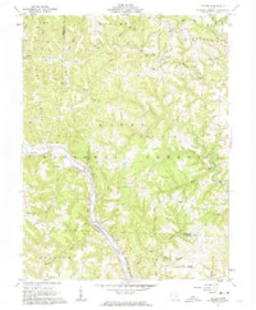
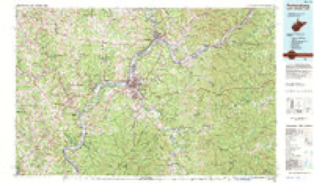
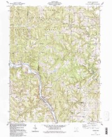
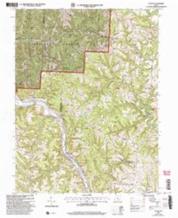
13 topographic sheets cover this place, the earliest surveyed in 1904 and the latest in 2002. It stands in Decatur Township. It stands on Burnett Run. The Survey maps it on the Cutler quadrangle.
Then and now
1904 to 2002The same ground, surveyed 98 years apart. Drag the handle to wipe between them. Both sheets are United States Geological Survey originals; neither has been altered.
Compare 1904 against another survey:
Topographic sheets covering this place
13 sheetsMatched by testing this settlement's coordinate against the published boundary of every sheet in the United States Geological Survey's historical collection. Each opens the scanned sheet at the Survey.
- 1904 USGS Chesterhill quadrangle1:62500
- 1906 USGS Chesterhill quadrangle1:62500
- 1949 USGS Clarksburg quadrangle1:250000
- 1956 USGS Clarksburg quadrangle1:250000
- 1956 USGS Clarksburg quadrangle1:250000
- 1961 USGS Clarksburg quadrangle1:250000
- 1961 USGS Cutler quadrangle1:24000
- 1961 USGS Cutler quadrangle1:24000
- 1961 USGS Cutler quadrangle1:24000
- 1981 USGS Parkersburg quadrangle1:100000
- 1988 USGS Clarksburg quadrangle1:250000
- 1994 USGS Cutler quadrangle1:24000
- 2002 USGS Cutler quadrangle1:24000





In the county-history sources
9,144 words on this townshipHistory of Washington County, Ohio, published 1881 names this settlement in its chapter on Decatur Township. These are the passages that mention it, exactly as the scans read.
THE establishment of this township was effected in 1820, on the petition of sundry persons not named, residents in sixth township, range eleven. Said locality was declared an incorporated town and an election district to be thereafter known as Decatur, and it was ordered that the inhabitants residing in said district were thereby entitled to the privileges and immunities of incorporated towns within the State. The electors were notified to meet at the residence of William Johnson, on Thursday, November 30, 1820, to elect town officers, but the records of this first election cannot now be found, and the names of the first officials, therefore, cannot be definitely ascertained.
Passage source: History of Washington County, Ohio, published 1881.
The first services of this denomination were held in the house of Mrs. Philip Schrader's father, now where George Dunsmore lives, northeast part of section seventeen. About 1850 Jonathan Root was the leading member of this church, and Joshua Montgomery is remembered as the first minister. They now occupy the house built by the Methodist Episcopal society, near Decaturville, of which Henry Bennett and Lucius Root are the present trustees. This denomination also has another class which meets in the Methodist Episcopal church west of Fillmore. Both congregations are small and are supplied as missions. The present minister is Rev. George Geiger.
Passage source: History of Washington County, Ohio, published 1881.
located one mile east of Decaturville, was organized in 1847 in the old log Methodist church, under the ministry of Rev. Moses Hoag. The first elders were William Bennett and William Campbell, and the first regular preacher was Rev. William Farris. The church building was first erected in 1849 and was rebuilt in 1856. The present building is a frame twenty-four by thirty. The congregation now numbers about seventy-five, under the ministry of Rev. Robert C. Stewart, and eldership of Philip Bennett, John P. Knox, Robert Cray, William Campbell, William Scott and William G. Irvine. Services and Sabbath-school every Sunday. - is located in the northern part of the township, northwest corner of section twenty-three. The first minister was Nathan B. Henry, and first trustees John Williams, James A. Harris and R. W. Field. The first house in which this society met was built in 1856, and was used for the colored select school was situated about twenty rods south of R. W. Fields - section twenty-three. The present board house was built in 1860, and the society was reorganized by Revs. Atkins and Pierce. During the agitation of the slavery question this society withdrew from the regular Raptist and became what was known as Anti- Slavery Baptist. Present membership twenty-six ; services once every month ; Sabbath-school every Sunday, Rev. William Norman, present pastor. MILLS.
Passage source: History of Washington County, Ohio, published 1881.
Machine-read from a century-old scan, so expect the errors a machine makes: misspelled names, dropped words, stray characters.
Read the whole chapter on Decatur Township - it names this place 3 more 3 times.
Fires near this place
5 since 2010Regional context, not property-specific evidence. The federal wildfire occurrence database lists 5 fires within 5 miles of Decaturville between 2010 and 2016, burning about 5 acres in total. None started naturally. None was recorded as arson. Distance is straight-line from the map coordinates, so a fire counted here may appear on a neighbouring settlement's page as well.
| Reported cause | Fires |
|---|---|
| Debris and open burning | 4 |
| Recreation and ceremony | 1 |
The most recent of them, most recent first, with the day each was reported and the service that recorded it.
| Date | Cause | Size | Reported by | Name on the report |
|---|---|---|---|---|
| 27 March 2014 | Debris and open burning | 3.0 acres | Ohio Department of Natural Resources | not named |
| 21 March 2010 | Debris and open burning | under an acre | Ohio Department of Natural Resources | not named |
| 21 March 2010 | Debris and open burning | under an acre | Ohio Department of Natural Resources | not named |
| 11 March 2010 | Debris and open burning | under an acre | Ohio Department of Natural Resources | not named |
| 28 October 2016 | Recreation and ceremony | 1.0 acres | Ohio Department of Natural Resources | 5906 |
Settlements close enough to share some of these fires:
Specimens collected near this place
12 of 197 shownRegional context, not property-specific evidence. Museums hold 197 specimens collected within 10 miles of Decaturville between 1902 and 1975: 161 Animalia, 29 Fungi, 7 Plantae. 12 distinct Species records are shown. Collected by A. C. Kinsey, C. Weatherby, Cavanah, et al. and others. Each is a physical object with a catalogue number, and each entry opens the museum's record. This is what was collected and kept, not a survey of what lives here - nothing can be concluded from a species being absent.
| Image | Species | Year | Collected by | Where, as recorded |
|---|---|---|---|---|
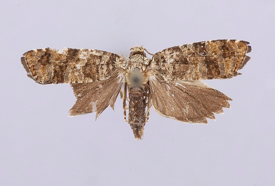 | Petrova houseri Miller, 1959 | 1954 | W. Miller | Veto |
 | Uromyces asclepiadis Cooke | 1902 | W. A. Kellerman | |
| Alternaria solani Sorauer | 1905 | Post A. Lee | Washington Bottom | |
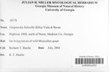 | Guignardia bidwellii (Ellis) Viala & Ravaz | 1905 | Post A. L. | Washington Bottom |
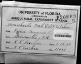 | Monochaetia mali (Ellis & Everh.) Sacc. & D.Sacc. | 1905 | Post A. L. | Washington Bottom |
 | Phyllosticta mali var. camensis Traverso | 1905 | Post A. L. | Washington Bottom |
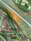 | Puccinia sorghi Schwein. | 1905 | Johnson T. C. | Washington |
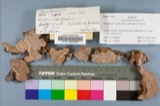 | Fomes roseus (Alb. & Schwein.) Fr. | 1907 | Hartley Carl P. | Washington |
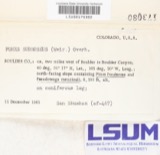 | Fomes subroseus (Weir) Overh. | 1907 | Hartley Carl | Washington |
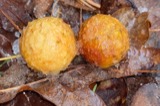 | Cynips Linnaeus, 1758 | 1928 | A. C. Kinsey | Coolville |
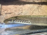 | Lampetra aepyptera (Abbott, 1860) | 1930 | Eggleston, H. K. | South Fork South Branch Wolf Creek, near Deming Rd, ~2.4 miles south of Watertown OH, Barlow township |
 | Ammocrypta pellucida (Putnam, 1863) | 1939 | Trautman, M. B. (Milton Bernard) | Hocking River, dst SR 7/US 50, ~0.5 mi NE of Coolville OH, Troy Township |
All 197 specimens within 10 miles, at the Global Biodiversity Information Facility.
Nearest settlements
The eight closest, with where each one stands in the county. Distances are straight-line, computed from the Geographic Names Information System coordinates.
Elsewhere
Matched on this settlement's Geographic Names Information System number rather than its name, so it cannot be a different place of the same name in another state.
| Wikipedia article on Decaturville | An encyclopaedic summary. Its text is share-alike, so it is linked here rather than copied. |
| Wikidata item Q22133348 | The structured record the population and elevation above come from. Public domain (CC0). |
Provenance
This settlement is recorded in the Geographic Names Information System as feature 1075695. The sheet list is computed by point-in-boundary test against the United States Geological Survey's historical topographic inventory. Both are works of the United States government and carry no copyright under 17 U.S.C. 105.
Wildfire. Short, Karen C. 2022. Spatial wildfire occurrence data for the United States, 1992-2020 [FPA_FOD_20221014]. 6th Edition. Fort Collins, CO: Forest Service Research Data Archive. https://doi.org/10.2737/RDS-2013-0009.6 Collected with United States Government funding and usable without additional permissions or fees.
Specimens. Global Biodiversity Information Facility (GBIF), https://www.gbif.org/. Only records licensed CC0 or CC BY are used. Records licensed CC BY-NC are excluded because this site carries advertising. Images are checked individually and any whose licence is non-commercial, no-derivatives or unreadable is refused.