 Block
Block
Deunquat, Ohio
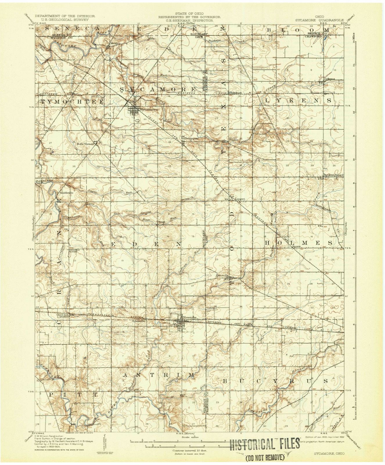
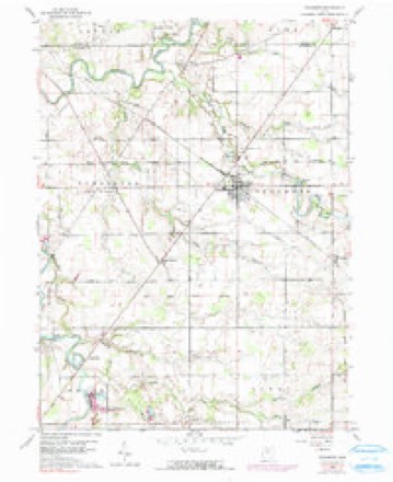
11 topographic sheets cover this place, the earliest surveyed in 1906 and the latest in 1986. It stands in Sycamore Township. It lies in ZIP code area 44882. The Survey maps it on the Sycamore quadrangle.
Then and now
1906 to 1986The same ground, surveyed 80 years apart. Drag the handle to wipe between them. Both sheets are United States Geological Survey originals; neither has been altered.

Topographic sheets covering this place
11 sheetsMatched by testing this settlement's coordinate against the published boundary of every sheet in the United States Geological Survey's historical collection. Each opens the scanned sheet at the Survey.
- 1906 USGS Sycamore quadrangle1:62500
- 1950 USGS Marion quadrangle1:250000
- 1960 USGS Sycamore quadrangle1:24000
- 1960 USGS Sycamore quadrangle1:24000
- 1960 USGS Sycamore quadrangle1:24000
- 1962 USGS Marion quadrangle1:250000
- 1966 USGS Marion quadrangle1:250000
- 1966 USGS Marion quadrangle1:250000
- 1966 USGS Marion quadrangle1:250000
- 1986 USGS Marion quadrangle1:100000
- 1986 USGS Marion quadrangle1:100000







In the county-history sources
22,609 words on this townshipThe History of Wyandot County, Ohio, Containing a History of the County: Its Townships, Towns, Churches, Schools, Etc.;, published 1884 names this settlement in its chapter on Sycamore Township. These are the passages that mention it, exactly as the scans read.
Ebenezer Methodist Episcopal Church of Pipetoivn. - This society held its first meeting in this township in the old round-log schoolhouse in about 1834, and in that year their first church building was erected on a piece of ground seventy rods north of the southeast corner of Section 10, on the county line of Crawford and Wyandot. It was of frame work, 30x40 feet, and completed at no other cost than the gratuitous labor of those interested.
Passage source: The History of Wyandot County, Ohio, Containing a History of the County: Its Townships, Towns, Churches, Schools, Etc.;, published 1884.
Eliza, Hugh, Joseph V., Carrie E. and Ivy, all living but Eliza, Robert and an infant son. Mr. Lee began business for himself as a farmer, purchasing land first in Putnam County; then in AVyandot, Sycamore Township, in 1847, owning at his death 550 acres. He died June 12, 1882. He was a life-long member of the Lutheran Church, and affiliated with the Democratic party. Mrs. Lee still continues the management of the farm, assisted by her sons. She is a member of the Lutheran Church at Deunquat, this township.
Passage source: The History of Wyandot County, Ohio, Containing a History of the County: Its Townships, Towns, Churches, Schools, Etc.;, published 1884.
Machine-read from a century-old scan, so expect the errors a machine makes: misspelled names, dropped words, stray characters.
Read the whole chapter on Sycamore Township - it names this place 1 more 1 time.
Specimens collected near this place
12 of 91 shownRegional context, not property-specific evidence. Museums hold 91 specimens collected within 10 miles of Deunquat between 1885 and 1968: 90 Animalia, 1 Plantae. 12 distinct Species records are shown. Collected by Cindy Peacock, D.C. Eades, Moseley, E.L. and others. Each is a physical object with a catalogue number, and each entry opens the museum's record. This is what was collected and kept, not a survey of what lives here - nothing can be concluded from a species being absent.
| Image | Species | Year | Collected by | Where, as recorded |
|---|---|---|---|---|
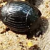 | Hister abbreviatus Fabricius, 1775 | 1885 | not recorded | Crane |
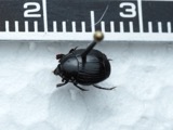 | Margarinotus faedatus (J.E.LeConte, 1845) | 1885 | not recorded | Crane |
 | Cambarus rusticus Girard, 1852 | 1893 | United States Fish Commission | McCutchenville, Sandusky River |
 | Notropis cornutus (Mitchill, 1817) | 1893 | not recorded | Sandusky River, Mccutchenville, Ohio |
 | Notropis rubellus (Agassiz, 1850) | 1893 | not recorded | Sandusky River, Mccutchenville, Ohio |
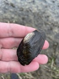 | Lasmigona costata (Rafinesque, 1820) | 1906 | Sterki, Victor | Tiffin |
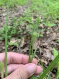 | Carex typhina Michx. | 1924 | Moseley, E.L. | Nevada |
 | Ammocrypta pellucida (Putnam, 1863) | 1930 | Trautman, M. B. (Milton Bernard) | Tymochtee Creek, within Tymochtee township, near McCutchenville, Tymochtee township |
 | Etheostoma nigrum Rafinesque, 1820 | 1930 | Trautman, M. B. (Milton Bernard) | Tymochtee Creek, within Tymochtee township, near McCutchenville, Tymochtee township |
 | Micropterus dolomieu dolomieu Lacepède, 1802 | 1930 | Trautman, M. B. (Milton Bernard) & Foster, R. (Robert) | Tymochtee Creek, within southeast Crawford township, near Carey, Crawford township |
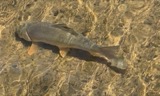 | Moxostoma anisurum (Rafinesque, 1820) | 1930 | Trautman, M. B. (Milton Bernard) | Tymochtee Creek, within Tymochtee township, near McCutchenville, Tymochtee township |
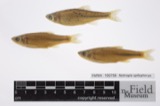 | Notropis spilopterus (Cope, 1867) | 1930 | Trautman, M. B. (Milton Bernard) & Foster, R. (Robert) | Tymochtee Creek, within southeast Crawford township, near Carey, Crawford township |
All 91 specimens within 10 miles, at the Global Biodiversity Information Facility.
Mines and quarries near this place
1 within 5 milesRegional context, not property-specific evidence. The federal mineral resources record lists 1 working within 5 miles of Deunquat: 1 producer. All of them still produce. What was taken out: Sand and Gravel, Construction. Distance is straight-line from the map coordinates, so a quarry counted here may appear on a neighbouring settlement's page as well.
| Where | Site | Commodity | Status | Recorded |
|---|---|---|---|---|
| Amert Pit & Plant | Sand and Gravel, Construction | Producer |
Nearest settlements
The eight closest, with where each one stands in the county. Distances are straight-line, computed from the Geographic Names Information System coordinates.
| Map | Place | Distance | Sheets |
|---|---|---|---|
| Sycamore | 2.6 miles | 11 | |
| Seal | 3.7 miles | 11 | |
| Belle Vernon | 3.7 miles | 11 | |
| Mexico | 5.2 miles | 11 | |
| Smithville | 5.7 miles | 11 | |
| Tymochtee | 7.5 miles | 10 | |
| Nevada | 7.5 miles | 12 | |
| Edenville | 7.6 miles | 12 |
Provenance
This settlement is recorded in the Geographic Names Information System as feature 1064535. The sheet list is computed by point-in-boundary test against the United States Geological Survey's historical topographic inventory. Both are works of the United States government and carry no copyright under 17 U.S.C. 105.
Specimens. Global Biodiversity Information Facility (GBIF), https://www.gbif.org/. Only records licensed CC0 or CC BY are used. Records licensed CC BY-NC are excluded because this site carries advertising. Images are checked individually and any whose licence is non-commercial, no-derivatives or unreadable is refused.
Mines and quarries. USGS Mineral Resources Data System (MRDS) https://mrdata.usgs.gov/mrds/ A work of the United States government, no copyright under 17 U.S.C. 105.