 Block
Block
Tymochtee, Ohio
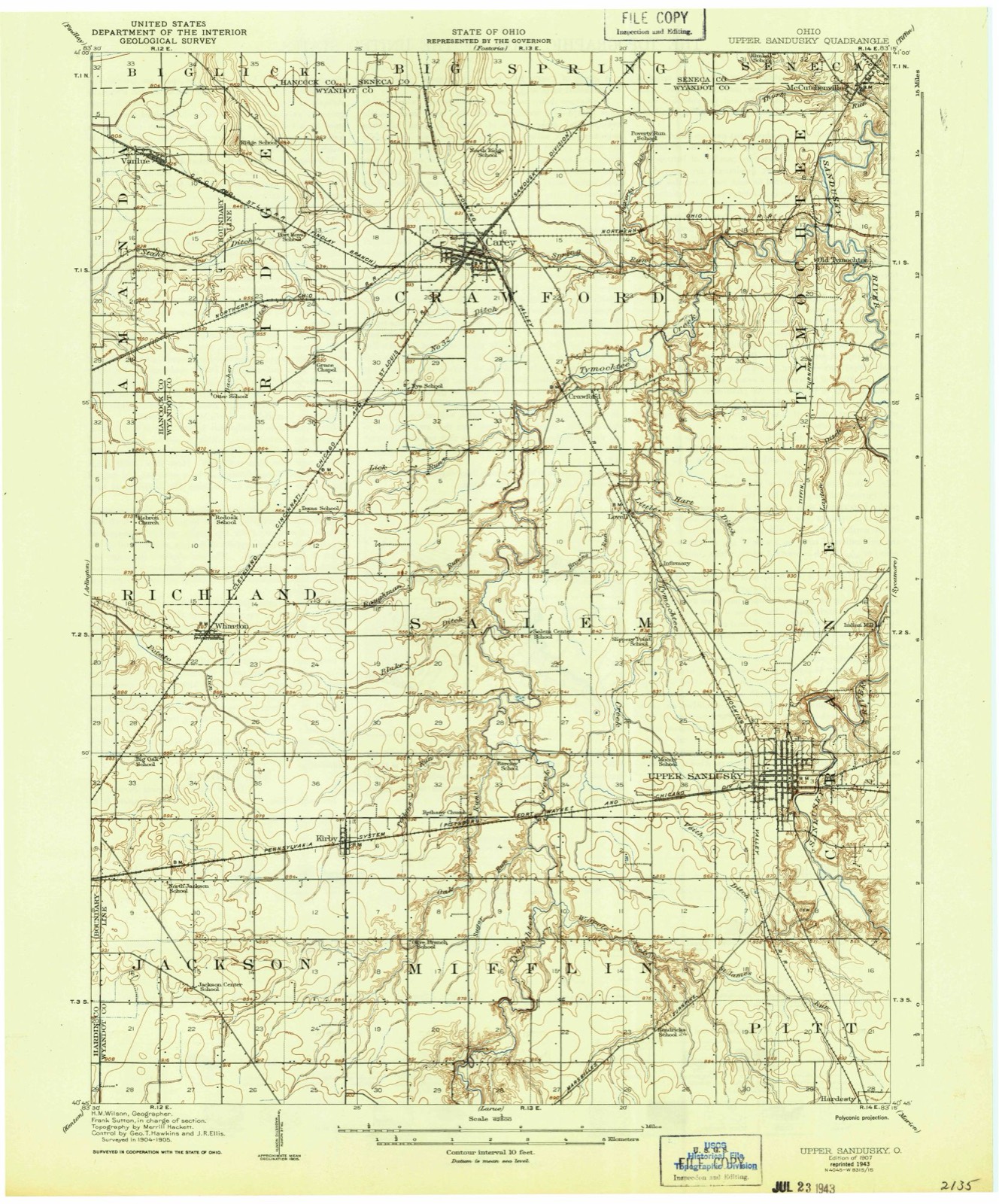
10 topographic sheets cover this place, the earliest surveyed in 1907 and the latest in 1986. It stands in Tymochtee Township. It lies in ZIP code area 43351. It stands on Tymochtee Creek. The Survey maps it on the McCutchenville quadrangle.
Then and now
1907 to 1986The same ground, surveyed 79 years apart. Drag the handle to wipe between them. Both sheets are United States Geological Survey originals; neither has been altered.

Topographic sheets covering this place
10 sheetsMatched by testing this settlement's coordinate against the published boundary of every sheet in the United States Geological Survey's historical collection. Each opens the scanned sheet at the Survey.
- 1907 USGS Upper Sandusky quadrangle1:62500
- 1950 USGS Marion quadrangle1:250000
- 1960 USGS Mc Cutchenville quadrangle1:24000
- 1960 USGS Mc Cutchenville quadrangle1:24000
- 1962 USGS Marion quadrangle1:250000
- 1966 USGS Marion quadrangle1:250000
- 1966 USGS Marion quadrangle1:250000
- 1966 USGS Marion quadrangle1:250000
- 1986 USGS Marion quadrangle1:100000
- 1986 USGS Marion quadrangle1:100000







In the county-history sources
28,922 words on this townshipThe History of Wyandot County, Ohio, Containing a History of the County: Its Townships, Towns, Churches, Schools, Etc.;, published 1884 names this settlement in its chapter on Tymochtee Township. These are the passages that mention it, exactly as the scans read.
On page 263 and following pages will be found a full account of the Indian reservation in this county, together with the exact wording of the treaty. From this it will be seen (page 267) that " to Horonu, or the ' Cherokee Boy,' a Wyandot chief, was granted a section of land, to contain 640 acres, on the Sandusky River, to be laid oif in a square form, and to include his improvements." This chief's section was situated on both sides of the Sandusky, about the center of the county, old Tymochtee being on the center of its western limits. Cherokee Boy lived to the good old age of one hundred and ten years, and was gathered to his fathers in the happy hunting-grounds in 1834. When the Wyandots were allotted their reservation in 1817, besides Cherokee Boy, the Whittaker boys, James and John, and other half-breeds, were allotted large tracts in their own right in this township. Robert Cherokee, a son of Horonu, went west with the Wyandots. The Wyandot reservation line on its northern boundary included the most of the southern tier of sections of this township, but about half way across the township it took a sudden detour to the north, so as to include as far north as the Cherokee Boy section, when it turned south again.
Passage source: The History of Wyandot County, Ohio, Containing a History of the County: Its Townships, Towns, Churches, Schools, Etc.;, published 1884.
Tymochtee is one of the choicest townships in the county, and is admirably adapted for the labors of the agriculturist and stock-raiser. It is truly a land of plenty, fertile in soil, well watered, with good roads and in near proximity to railways a few miles in every direction. The Sandusky River meanders gently across this township in a generally northern course, when, after traversing nearly the whole township, it turns sharply to the east and waters all the north end of the township. In addition to this river which, like the old Nile in Egypt, is the chief factor in fertilizing the land, there comes from the west across Sections 18 and 17, the historic Tymochtee Creek debouching into the Sandusky about the center of the east side of the latter section. Taylor Run drains all the eastern side of the township with its long and numerous branches. Sycamore Creek crosses the northeast corner of Tychmotee from the township of Sycamore, entering the Sandusky near Mexico. Beside this, numei'oas rivulets babble through the township in every direction, making it a land of streams.
Passage source: The History of Wyandot County, Ohio, Containing a History of the County: Its Townships, Towns, Churches, Schools, Etc.;, published 1884.
The first white settler was Henry Lish, who with his wife and three children settled on the southwest quarter of Section 17, about 1816-17, erecting the first dwelling, a log cabin, 18x20 feet. Other early settlers were Cyprion Stevens, Joseph Chaffee, Robert Gibson, Elisha Brayton, William Hodge, Linus Cutting, James Whitehead, Dr. Dunn, Joseph Stiggerwalt and Thomas Leeper. The last named came in 1821 from Ross County, Ohio, abou.t the same time that Samuel Harper located in Sycamore. Soon after came Peter Baum, William Combs, Levi Bunn, John Taylor and George Bogart, who settled in what is now Belle Vernon, John Morris, Alfred McCauley, and his brother Jehosaphat, Peter Hummon, Jonathan. Peter and Moses Kear, the latter a gunsmith. Henry Lish established in the earliest days of settlement a government ferry across the Tymochtee. Michael Brackley, who sat in both branches of the Legislature, was also a very early settler. Ira Aikens and Joseph Chaffee opened the first taverns. Robert Gibson came with his parents to this township in 1821, being then but two years of age. He was a native of Ross County, Ohio; his parents settled one and one-half miles west of Tymochtee Village. At that time very few whites were in the township, while Indians were numerous. Mr. Gibson grew up with the reputation of a Nimrod, and on one occasion he killed four deer, besides wild cats and turkeys. When twenty-three years of age he began herding cattle among the Indians. In 1844, he married Margaretta, daughter of John Beam, who settled near McCutchenville in 1829, and was the first white miller at the Indian Mill near Upper Sandusky.
Passage source: The History of Wyandot County, Ohio, Containing a History of the County: Its Townships, Towns, Churches, Schools, Etc.;, published 1884.
Machine-read from a century-old scan, so expect the errors a machine makes: misspelled names, dropped words, stray characters.
Read the whole chapter on Tymochtee Township - it names this place 19 more 19 times.
Specimens collected near this place
12 of 263 shownRegional context, not property-specific evidence. Museums hold 263 specimens collected within 10 miles of Tymochtee between 1885 and 1975: 232 Animalia, 28 Fungi, 3 Plantae. 12 distinct Species records are shown. Collected by Allen, J. M., Blyth & Katz, Blyth, D. (David) & Katz, D. (David) and others. Each is a physical object with a catalogue number, and each entry opens the museum's record. This is what was collected and kept, not a survey of what lives here - nothing can be concluded from a species being absent.
| Image | Species | Year | Collected by | Where, as recorded |
|---|---|---|---|---|
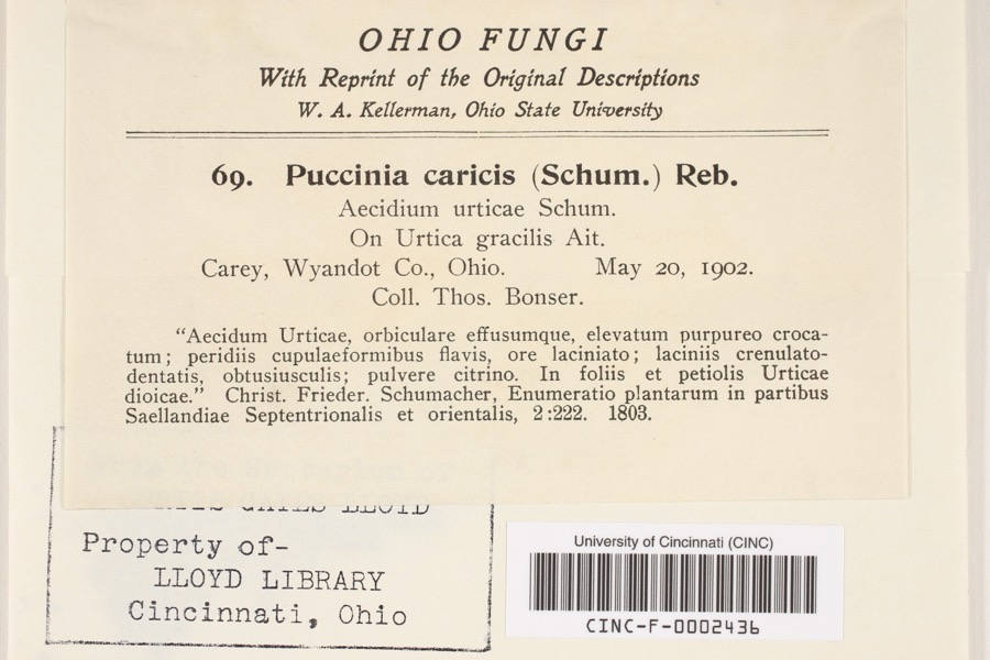 | Puccinia P.Micheli ex Haller, 1768 | 1902 | Bonser, T. | Carey |
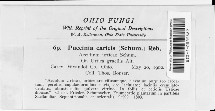 | Puccinia caricina DC. | 1902 | T. Bonser | |
 | Hister abbreviatus Fabricius, 1775 | 1885 | not recorded | Crane |
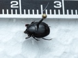 | Margarinotus faedatus (J.E.LeConte, 1845) | 1885 | not recorded | Crane |
 | Cambarus rusticus Girard, 1852 | 1893 | United States Fish Commission | McCutchenville, Sandusky River |
 | Notropis cornutus (Mitchill, 1817) | 1893 | not recorded | Sandusky River, Mccutchenville, Ohio |
 | Notropis rubellus (Agassiz, 1850) | 1893 | not recorded | Sandusky River, Mccutchenville, Ohio |
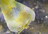 | Campylium stellatum (Hedw.) Lange & C.E.O.Jensen | 1899 | W. A. Kellerman | |
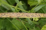 | Phyllachora graminis (Pers.) Fuckel | 1900 | Bonser Thos. | Wyandot Co. |
| Phyllachora vulgata Theiss. & Syd. | 1900 | Thos. Bouser | Big Spring Prairie | |
 | Corvus brachyrhynchos brachyrhynchos C.L.Brehm, 1822 | 1901 | Thos A. Bonser | Carey, S. of |
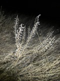 | Lepidium campestre (L.) W.T.Aiton | 1901 | Bonser, T.A. | Carey |
All 263 specimens within 10 miles, at the Global Biodiversity Information Facility.
Mines and quarries near this place
2 within 5 milesRegional context, not property-specific evidence. The federal mineral resources record lists 2 workings within 5 miles of Tymochtee: 1 producer, 1 plant. All of them still produce. What was taken out: Sand and Gravel, Construction, Stone, Crushed/Broken. Distance is straight-line from the map coordinates, so a quarry counted here may appear on a neighbouring settlement's page as well.
| Where | Site | Commodity | Status | Recorded |
|---|---|---|---|---|
| Carey Plant & Quarry | Stone, Crushed/Broken | Plant | ||
| Kirby and Sons, Inc. | Sand and Gravel, Construction | Producer |
Storms near this place
1 since 2003Regional context, not property-specific evidence. The National Weather Service names Tymochtee in 1 storm report between 2003 and 2003: 1 thunderstorm wind. No death or injury is recorded in these reports. Each account below is quoted exactly as the forecast office filed it, from the NOAA Storm Events Database, and each date opens the federal record of that event.
| When | Event | Place named | Harm | What the report says |
|---|---|---|---|---|
| April 2003 | Thunderstorm Wind | Tymochtee | $4,000 | Thunderstorm winds downed two trees. |
Nearest settlements
The eight closest, with where each one stands in the county. Distances are straight-line, computed from the Geographic Names Information System coordinates.
| Map | Place | Distance | Sheets |
|---|---|---|---|
| McCutchenville | 2.9 miles | 10 | |
| Belle Vernon | 3.9 miles | 11 | |
| Smithville | 4.2 miles | 11 | |
| Crawford | 4.3 miles | 10 | |
| Mexico | 4.8 miles | 11 | |
| Lovell | 5.2 miles | 10 | |
| Sycamore | 5.3 miles | 11 | |
| Carey | 6.0 miles | 11 |
Elsewhere
Matched on this settlement's Geographic Names Information System number rather than its name, so it cannot be a different place of the same name in another state.
| Wikipedia article on Tymochtee | An encyclopaedic summary. Its text is share-alike, so it is linked here rather than copied. |
| Wikidata item Q23478688 | The structured record the population and elevation above come from. Public domain (CC0). |
Provenance
This settlement is recorded in the Geographic Names Information System as feature 1061717. The sheet list is computed by point-in-boundary test against the United States Geological Survey's historical topographic inventory. Both are works of the United States government and carry no copyright under 17 U.S.C. 105.
Specimens. Global Biodiversity Information Facility (GBIF), https://www.gbif.org/. Only records licensed CC0 or CC BY are used. Records licensed CC BY-NC are excluded because this site carries advertising. Images are checked individually and any whose licence is non-commercial, no-derivatives or unreadable is refused.
Mines and quarries. USGS Mineral Resources Data System (MRDS) https://mrdata.usgs.gov/mrds/ A work of the United States government, no copyright under 17 U.S.C. 105.
Storms. NOAA National Centers for Environmental Information, Storm Events Database https://www.ncei.noaa.gov/stormevents/ A work of the United States government, no copyright under 17 U.S.C. 105. Narratives are quoted verbatim from the National Weather Service report and are not edited or summarised.