 Block
Block
Holliston, Massachusetts
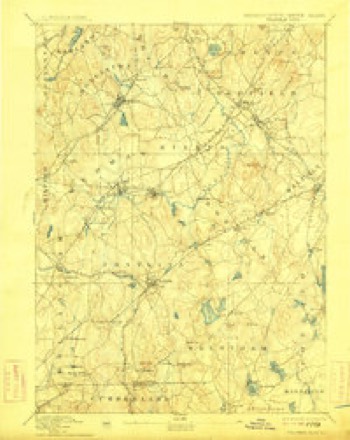
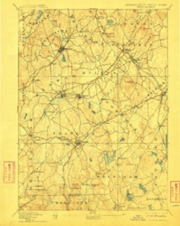
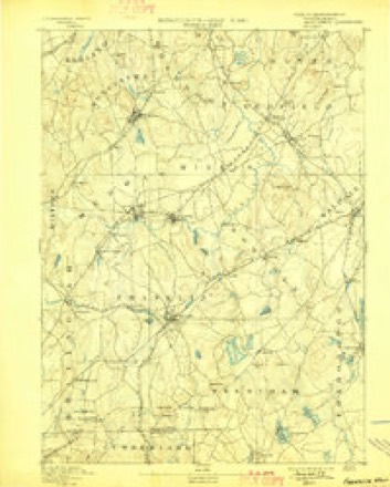
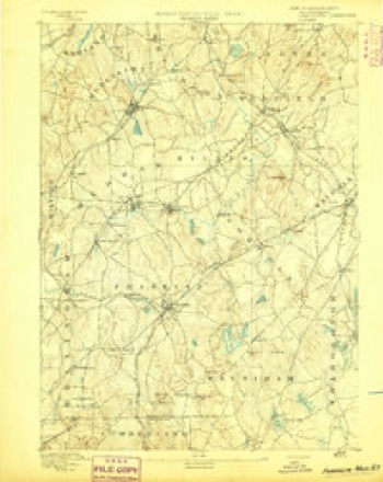
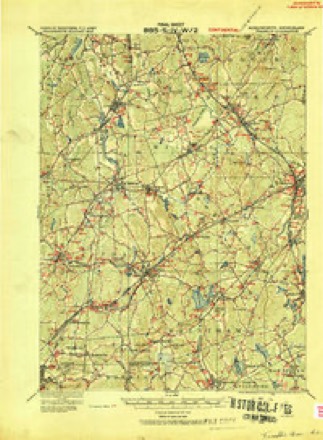
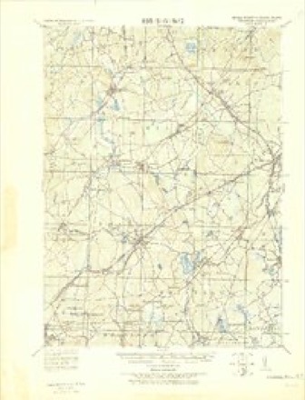
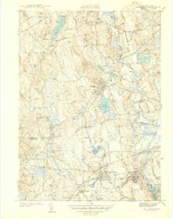
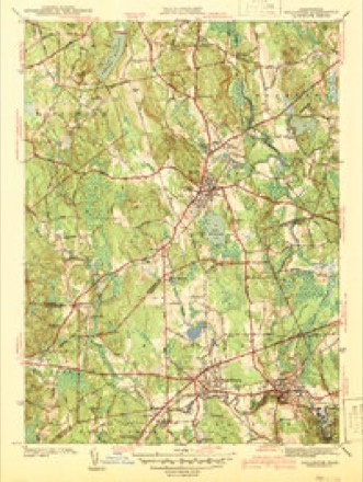
41 topographic sheets cover this place, the earliest surveyed in 1887 and the latest in 1989. It stands in Holliston town. It lies in ZIP code area 01746. It stands on Mount Hollis. The Survey maps it on the Holliston quadrangle. 14,996 people lived here at the 2020 count. It stands 187 feet above sea level.
Population over time
2 figuresHolliston grew from 13,547 to 14,996 between 2010 and 2020. These are the recorded population figures Wikidata holds for this place, reached through the Geographic Names Information System number this page is keyed on rather than by name, so they belong to this place and not to another of the same name. Most are census counts, but not all are: an early figure may be a founding or settlement estimate. The change column is computed, and is left blank where more than 20 years separate a figure from the one before it, because a gap that long is not a change between two counts.
| Year | People | Change |
|---|---|---|
| 2010 | 13,547 | |
| 2020 | 14,996 | +1,449 (+11%) |
Then and now
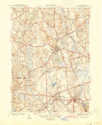
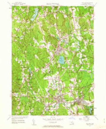
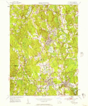
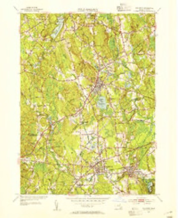
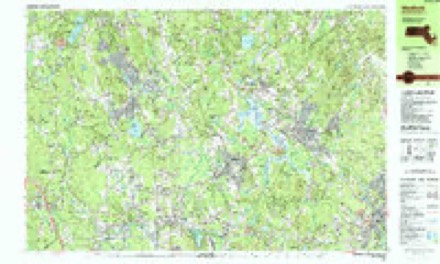
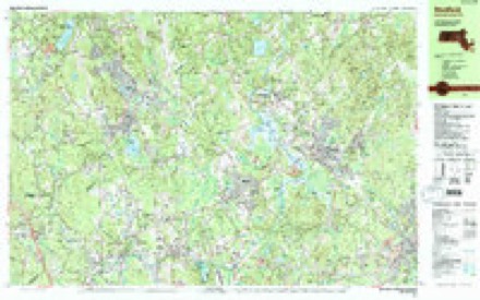
1887 to 1989The same ground, surveyed 102 years apart. Drag the handle to wipe between them. Both sheets are United States Geological Survey originals; neither has been altered.

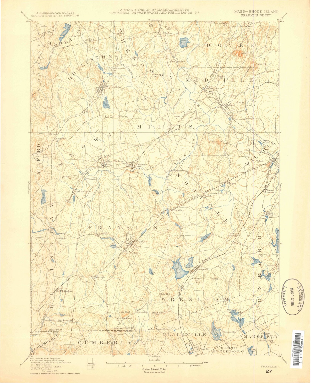
Topographic sheets covering this place
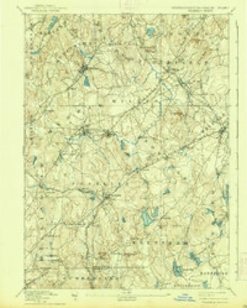
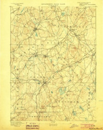
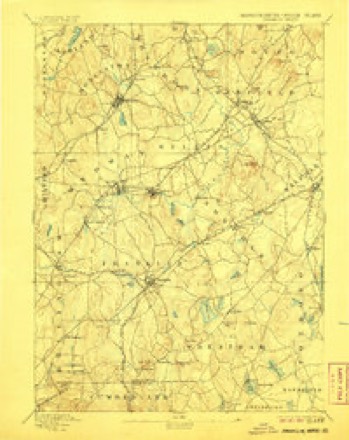
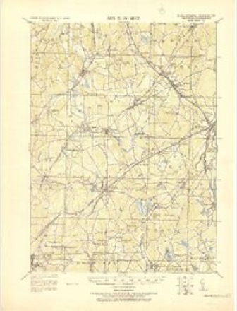
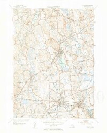
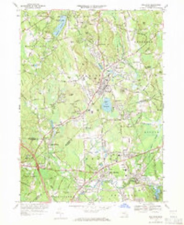
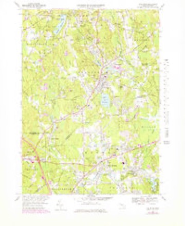
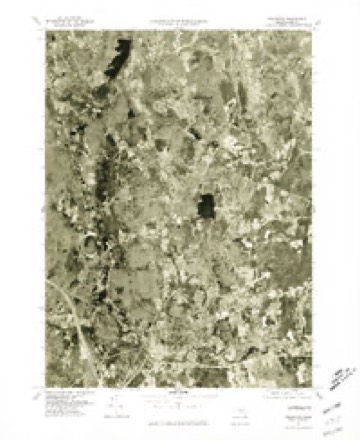
41 sheetsMatched by testing this settlement's coordinate against the published boundary of every sheet in the United States Geological Survey's historical collection. Each opens the scanned sheet at the Survey.
- 1887 USGS Franklin quadrangle1:62500
- 1889 USGS Franklin quadrangle1:62500
- 1893 USGS Franklin quadrangle1:62500
- 1893 USGS Franklin quadrangle1:62500
- 1893 USGS Franklin quadrangle1:62500
- 1893 USGS Franklin quadrangle1:62500
- 1893 USGS Franklin quadrangle1:62500
- 1893 USGS Franklin quadrangle1:62500
- 1893 USGS Franklin quadrangle1:62500
- 1893 USGS Franklin quadrangle1:62500
- 1919 USGS Franklin quadrangle1:62500
- 1919 USGS Franklin quadrangle1:62500
- 1921 USGS Franklin quadrangle1:62500
- 1941 USGS Holliston quadrangle1:31680
- 1942 USGS Holliston quadrangle1:31680
- 1942 USGS Holliston quadrangle1:31680
- 1943 USGS Boston quadrangle1:125000
- 1948 USGS Boston quadrangle1:250000
- 1948 USGS Boston quadrangle1:250000
- 1953 USGS Holliston quadrangle1:24000
- 1953 USGS Holliston quadrangle1:24000
- 1953 USGS Holliston quadrangle1:31680
- 1953 USGS Holliston quadrangle1:31680
- 1956 USGS Boston quadrangle1:250000
- 1956 USGS Boston quadrangle1:250000
- 1956 USGS Boston quadrangle1:250000
- 1956 USGS Boston quadrangle1:250000
- 1956 USGS Boston quadrangle1:250000
- 1956 USGS Boston quadrangle1:250000
- 1958 USGS Boston quadrangle1:250000
- 1958 USGS Boston quadrangle1:250000
- 1961 USGS Boston quadrangle1:250000
- 1961 USGS Boston quadrangle1:250000
- 1969 USGS Holliston quadrangle1:24000
- 1969 USGS Holliston quadrangle1:25000
- 1977 USGS Holliston quadrangle1:25000
- 1985 USGS Boston quadrangle1:100000
- 1987 USGS Medfield quadrangle1:25000
- 1987 USGS Medfield quadrangle1:25000
- 1989 USGS Boston quadrangle1:100000
- 1989 USGS Boston quadrangle1:100000
















In the county-history sources
22,152 words on this townshipHistory of Middlesex County, Massachusetts, with Biographical Sketches of Many of Its Pioneers and Prominent Men, published 1890 names this settlement in its chapter on Holliston Town. These are the passages that mention it, exactly as the scans read.
The town of Holliston reaches to the southern point of Middlesex County, and forms a large part of its boundary in that direction. The boundary line separates it from Medway and Millis, in the county of Norfolk, and from a portion of Milford, in the county of Worcester. It is a daughter of Sherborn, having been formed entirely from that ancient town. The history of Sherborn is therefore the history of Holliston until the date of incorporation of the latter town, in 1724.
Passage source: History of Middlesex County, Massachusetts, with Biographical Sketches of Many of Its Pioneers and Prominent Men, published 1890.
Grants of the land now included in this township were made by the General Court, as early as 1659, to Major Eleazer Lusher, of Dedhara, and to Dean Winthrop, son of Governor John Winthrop; and also, from 1664 to 1674, to Lieutenant Joshua Fisher, of Dedham, to John Parker and one Hopper. Lusher's grant of two hundred and fifty acres comprised the present central pari of Holliston, and twelve acres of meadow "lying on the brook Wennakeening" (Bogistow Brook); and Winthrop's grant of six hundred acres or more abutted upon Medfield line in one direction and upon a pond (Winthrop's) in the other. Major Lusher sold his grant to Lieutenant Henry Adams, of Medfield, in 1660; and after the death of Lieutenant Adams it was bought by Hon. William Brown, of Salem, and afterwards came into the possession of his son. Colonel Samuel Brown, and Judge Samuel Sewall. Lieutenant Adams took immediate possession and is said to have mowed the meadows the same year. He sent cattle here and some of his sons resided here, especially Jasper, who seems to have had the management of the land and gave his name to ".lasper's hill," now Mt. Mollis, from whiidi, bv signal fires, he communicated with his father in Medfield. He lived here, unmarried, for a period of about fourteen years until driven off by the Indians under King Philip in 1676.
Passage source: History of Middlesex County, Massachusetts, with Biographical Sketches of Many of Its Pioneers and Prominent Men, published 1890.
The second [)lanter was William Sheffield, who, with his brother Edmund, bought in 1662 the grant of Lieutenant Joshua Fisher, of Dedham, at "(!habboquasset," in the southeast quarter of the present town. He took possession, but did not settle there probably until 1674. Edmund Sheffield does not appear to have settled there at all. Of this land no deed had been obtjiined in 1688, Lieutenant Fisher having died in 1G72, before he had completed a deed to the Sheffields. William was in much trouble on this account, and, as he did not know what action to take, presented the following petition "on a training day" in Sherborne, November 22, 1688, "to y" fathers, with all the inhabitants ofSherborn:" "Wm. Sheffield, of Sherborn, the aged, your humble petitioner, doe humbly intreat you to show your love to me, to give, grant or confirm my land which I bought of Lt. Fisher, ol Dedham, to confirm to me and mine, I shall be very thankful to you forever; for I am like a man having myself half in the mire, and want to be holpen, help I pray you and damnifie no man with it." In answer to this "request the inhabitants then present did generally by their vote, grant and confirm to him the said land soe far as they had any interest in it." He seems by an order of the Court to have obtained his deed at a later date. He had extinguished the Indian title to his tract in 1675. He became a wealthy man for those days, and in 1686 was rated the third highest in Sherborn. He was a selectman in the early years of HoUiston and served on the first board. His son, William Sheftield, bought Hopper's farm of 280 acres in the west part of Holliston.
Passage source: History of Middlesex County, Massachusetts, with Biographical Sketches of Many of Its Pioneers and Prominent Men, published 1890.
Machine-read from a century-old scan, so expect the errors a machine makes: misspelled names, dropped words, stray characters.
Read the whole chapter on Holliston Town - it names this place 64 more 64 times.
Fires near this place
114 since 2015Regional context, not property-specific evidence. The federal wildfire occurrence database lists 114 fires within 5 miles of Holliston between 2015 and 2020, burning about 135 acres in total. 3 started naturally. 27 were recorded as arson. Distance is straight-line from the map coordinates, so a fire counted here may appear on a neighbouring settlement's page as well.
| Reported cause | Fires |
|---|---|
| Debris and open burning | 44 |
| Arson/incendiarism | 27 |
| Missing data/not specified/undetermined | 22 |
| Recreation and ceremony | 8 |
| Power generation/transmission/distribution | 7 |
| Natural | 3 |
| Fireworks | 1 |
| Equipment and vehicle use | 1 |
| Misuse of fire by a minor | 1 |
The most recent of them, most recent first, with the day each was reported and the service that recorded it.
| Date | Cause | Size | Reported by | Name on the report |
|---|---|---|---|---|
| 6 September 2019 | Recreation and ceremony | under an acre | Massachusetts Bureau of Forest Fire Control | not named |
| 5 September 2018 | Recreation and ceremony | under an acre | Massachusetts Bureau of Forest Fire Control | not named |
| 26 September 2020 | Debris and open burning | under an acre | Massachusetts Bureau of Forest Fire Control | not named |
| 24 September 2019 | Power generation/transmission/distribution | under an acre | Massachusetts Bureau of Forest Fire Control | not named |
| 17 September 2020 | Missing data/not specified/undetermined | under an acre | Massachusetts Bureau of Forest Fire Control | not named |
| 1 September 2017 | Missing data/not specified/undetermined | under an acre | Massachusetts Bureau of Forest Fire Control | ASHLAND |
| 1 September 2017 | Arson/incendiarism | under an acre | Massachusetts Bureau of Forest Fire Control | SHERBORN |
| 9 August 2020 | Power generation/transmission/distribution | under an acre | Massachusetts Bureau of Forest Fire Control | not named |
Settlements close enough to share some of these fires:
Specimens collected near this place
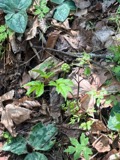
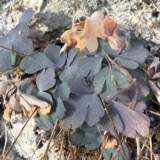
12 of 877 shownRegional context, not property-specific evidence. Museums hold 877 specimens collected within 10 miles of Holliston between 1898 and 1975: 712 Animalia, 122 Plantae, 42 Fungi, 1 Chromista. 12 distinct Species records are shown. Collected by A. M. Ottley, A. Strong, A.P. Morse and others. Each is a physical object with a catalogue number, and each entry opens the museum's record. This is what was collected and kept, not a survey of what lives here - nothing can be concluded from a species being absent.
| Image | Species | Year | Collected by | Where, as recorded |
|---|---|---|---|---|
 | Actaea pachypoda Elliott | 1898 | Ernest Charles Smith | |
 | Aquilegia canadensis L. | 1898 | M. I. Gunn | Natick |
 | Arthonia lecideella Nyl. | 1898 | Clara E. Cummings | |
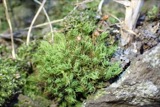 | Bartramia pomiformis var. elongata Turner | 1898 | C. E. Cummings | |
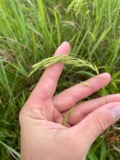 | Bromus ciliatus L. | 1898 | Ernest Charles Smith | Framingham. |
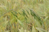 | Bromus secalinus L. | 1898 | Arthur French | Framingham. |
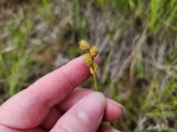 | Carex brevior (Dewey) Mack. ex Lunell | 1898 | Ernest Charles Smith | Framingham. |
 | Carex laxiflora Lam. | 1898 | Ernest Charles Smith | Framingham. |
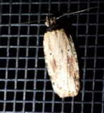 | Agonopterix atrodorsella Clemens, 1863 | 1900 | E. J. Smith | Sherborn |
 | Apantesis Walker, 1855 | 1900 | E. J. Smith | Sherborn |
 | Apatelodes torrefacta J.E.Smith, 1797 | 1900 | E. J. Smith | Sherborn |
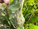 | Archips cerasivorana (Fitch, 1856) | 1900 | E. J. Smith | Sherborn |
All 877 specimens within 10 miles, at the Global Biodiversity Information Facility.
Mines and quarries near this place
10 of 30 shownRegional context, not property-specific evidence. The federal mineral resources record lists 30 workings within 5 miles of Holliston: 24 past producers, 4 producers, 2 plants. 6 still produce. What was taken out: Sand and Gravel, Construction, Granite, Stone, Crushed/Broken. Distance is straight-line from the map coordinates, so a quarry counted here may appear on a neighbouring settlement's page as well.
| Where | Site | Commodity | Status | Recorded |
|---|---|---|---|---|
| Ashland Quarry | Stone, Crushed/Broken | Producer | ||
| Holliston Plant | Stone, Crushed/Broken | Plant | ||
| Barretto Granite Co | Granite | Past Producer | Granite | |
| Castellucci and Sons | Granite | Past Producer | Granite | |
| H E Fletcher | Granite | Past Producer | Granite | |
| Milford Pink Granite Quarry | Granite | Past Producer | ||
| Milford Quarry | Granite | Producer | ||
| Simeone Stone Corp | Granite | Past Producer | Granite | |
| Trimount Bituminous Prod | Granite | Past Producer | Granite | |
| Ashland Plant | Sand and Gravel, Construction | Plant |
Storms near this place
13 since 1994Regional context, not property-specific evidence. The National Weather Service names Holliston in 13 storm reports between 1994 and 2022: 8 thunderstorm wind, 3 hail, 2 flood. No death or injury is recorded in these reports. Each account below is quoted exactly as the forecast office filed it, from the NOAA Storm Events Database, and each date opens the federal record of that event.
| When | Event | Place named | Harm | What the report says |
|---|---|---|---|---|
| March 2010 | Flood | Holliston | $26,430,000 | Each of the seven gaged mainstem rivers in Middlesex County rose above flood stage, the Nashua River at East Pepperell, Shawsheen River at Wilmington, and the Assabet River at Maynard all reached major flood. The Concord River at Lowell and the Shawsheen River at Wilmington set record flood stages.||In addition, several small streams went into flood, including the Charles River at Waltham and Cambridge, and the Aberjona River at Winchester. Damage from this river flooding, along with poor drainage and street flooding, resulted in a federal disaster declaration for this and six other counties in Massachusetts. ||Numerous basements flooded in Weston, Newton, Natick, Watertown, Winchester, Billerica, Tewksbury, Lowell, Pepperell, and Concord. In addition, many streets were closed due to flooding in Waltham, Burlington, Wayland, Chelmsford, Lexington, Watertown, Acton, Arlington, North Reading, Sudbury, Winchester, Shirley, Natick, Holliston, Woburn, Wilmington, Framingham, Billerica, Groton, and Pepperell, including the interchange at Route 128 and Winter Street and several lane restrictions on Interstate 95 in Waltham. More than 700 homes and 25 city buildings in Newton sustained flood damage, including destroyed city files in the city hall basement.||Several apartments (about 20 people) in the 100 block of Linden Street in Waltham were evacuated due to flooding. Residents at the Gardencrest Apartments and a few at the Waverly Oaks Road apartments in Waltham were also evacuated. Roughly 150 people were evacuated from a public housing complex in Melrose. Tenants from 136 apartments on Beaver Street in Framingham were evacuated. While no evacuation orders were reported, at least one Billerica resident had to be rescued from their home by boat. In Winchester, homes on Brookside Avenue were evacuated.||Forty feet of rail bed was washed out between Chestnut Hill and Newton after a twelve foot deep, fifty foot diameter sinkhole developed beneath the MBTA green line tracks in Newton. Material washed out of the railbed travelled downhill landing in and around an office building on Glen Road. This resulted in 18 inches of mud and rocks in the first floor of the building and drifts up to 6 feet outside the building. Commuters were bused between the Newton Highlands and Reservoir stations. The Wilmington MBTA station was also closed due to flooding. A sinkhole on Church Street in Holliston resulted in the closing of that street. Emerson Hospital in Concord had water flooding its stairwells.||A neighborhood in Wilmington was flooded with four feet of water, four people were rescued by boat, 12 to 14 others were evacuated. A person was rescued from an apartment building on Pratt Avenue in Lowell that was flooded with four feet of water.||Collections at the Reading Public, Winchester Public, and Somerville Public Libraries, the Charles River Museum of Industry, and public records at the City of Newton were damaged by floodwaters. The Public Safety Complex that houses both the Fire and Police Departments in Wayland was flooded with nearly three feet of water, resulting in a power loss and damage to the boiler units and HVAC units. The complex ran on generator power for several days and without heat and air conditioning for several weeks while the HVAC units were being replaced. In North Reading, several schools and the Parks and Rec building at Ipswich River Park sustained water damage. Water overflowing the Moody Street Dam in Waltham flooded a retirement home and a museum. |
| July 2014 | Thunderstorm Wind | Holliston | $75,000 | Numerous trees and wires were downed from Metrowest to the immediate Boston area, including Holliston, Framingham, Natick, Newton, Waltham, Wakefield, Watertown, Somerville, and Malden. |
| June 2010 | Thunderstorm Wind | Holliston | $40,000 | Many trees and wires were downed in Holliston and Hopkinton, closing several roads. Two trees were downed onto a house on Hayward Street in Hopkinton. |
| August 2020 | Thunderstorm Wind | Holliston | $1,600 | In Holliston, a tree and wires were down on Burnap Road. Also, a tree was down on wires on Highland Street. |
| July 2009 | Thunderstorm Wind | Holliston | $1,000 | A tree was downed by thunderstorm winds, blocking Turner Road. |
| July 2020 | Thunderstorm Wind | Holliston | $800 | In Holliston, a large tree was down on wires on Central Street. |
| September 2022 | Flood | East Holliston | - | In Holliston, a portion of Concord St. (Rt. 126) was flooded and even public safety vehicles were advised to avoid the area. Relayed by amateur radio. |
| May 2009 | Hail | Holliston | - | Hail up to the size of pennies fell in Holliston. |
| July 1994 | Thunderstorm Wind | Holliston | - | Power lines were reported down, along with other wind damage. |
| May 2002 | Hail | Holliston | - | no account filed |
| June 2001 | Thunderstorm Wind | Holliston | - | no account filed |
| July 1999 | Thunderstorm Wind | Holliston | - | no account filed |
| May 1997 | Hail | Holliston | - | no account filed |
Nearest settlements
The eight closest, with where each one stands in the county. Distances are straight-line, computed from the Geographic Names Information System coordinates.
| Map | Place | Distance | Sheets |
|---|---|---|---|
| East Holliston | 0.9 miles | 41 | |
| Metcalf | 1.6 miles | 41 | |
| Gooch Corners | 1.9 miles | 41 | |
| Whitneys | 2.9 miles | 41 | |
| Camp Bob White | 3.0 miles | 41 | |
| Workmans Circle Camp | 3.5 miles | 41 | |
| Braggville Station | 3.7 miles | 41 | |
| Braggville | 3.7 miles | 41 |
Elsewhere
Matched on this settlement's Geographic Names Information System number rather than its name, so it cannot be a different place of the same name in another state.
| Wikipedia article on Holliston | An encyclopaedic summary. Its text is share-alike, so it is linked here rather than copied. |
| Wikidata item Q596394 | The structured record the population and elevation above come from. Public domain (CC0). |
Provenance
This settlement is recorded in the Geographic Names Information System as feature 611693. The sheet list is computed by point-in-boundary test against the United States Geological Survey's historical topographic inventory. Both are works of the United States government and carry no copyright under 17 U.S.C. 105.
Wildfire. Short, Karen C. 2022. Spatial wildfire occurrence data for the United States, 1992-2020 [FPA_FOD_20221014]. 6th Edition. Fort Collins, CO: Forest Service Research Data Archive. https://doi.org/10.2737/RDS-2013-0009.6 Collected with United States Government funding and usable without additional permissions or fees.
Specimens. Global Biodiversity Information Facility (GBIF), https://www.gbif.org/. Only records licensed CC0 or CC BY are used. Records licensed CC BY-NC are excluded because this site carries advertising. Images are checked individually and any whose licence is non-commercial, no-derivatives or unreadable is refused.
Mines and quarries. USGS Mineral Resources Data System (MRDS) https://mrdata.usgs.gov/mrds/ A work of the United States government, no copyright under 17 U.S.C. 105.
Storms. NOAA National Centers for Environmental Information, Storm Events Database https://www.ncei.noaa.gov/stormevents/ A work of the United States government, no copyright under 17 U.S.C. 105. Narratives are quoted verbatim from the National Weather Service report and are not edited or summarised.