 Block
Block
Fleming, Ohio
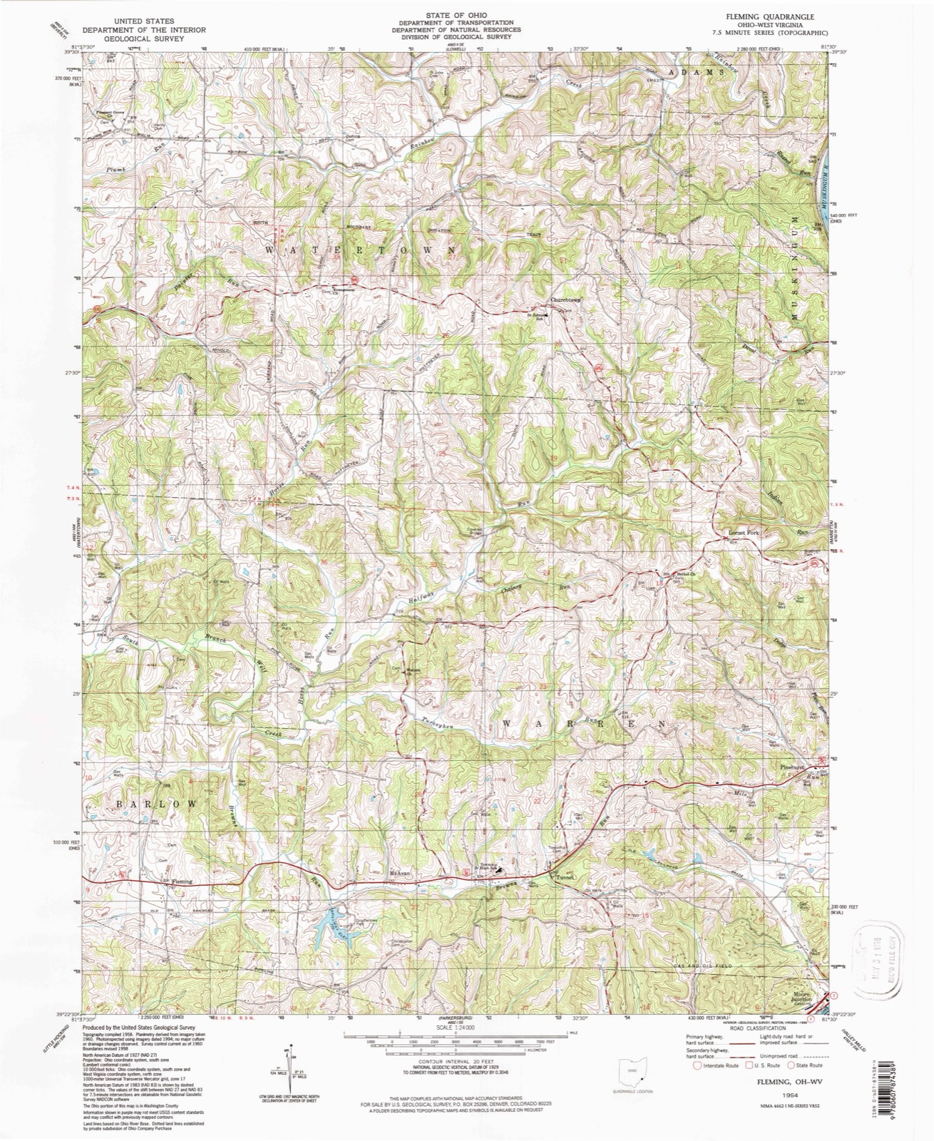
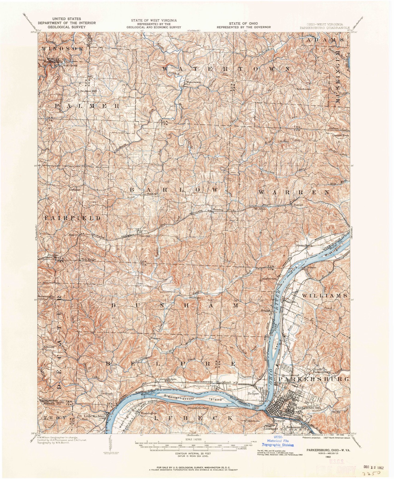
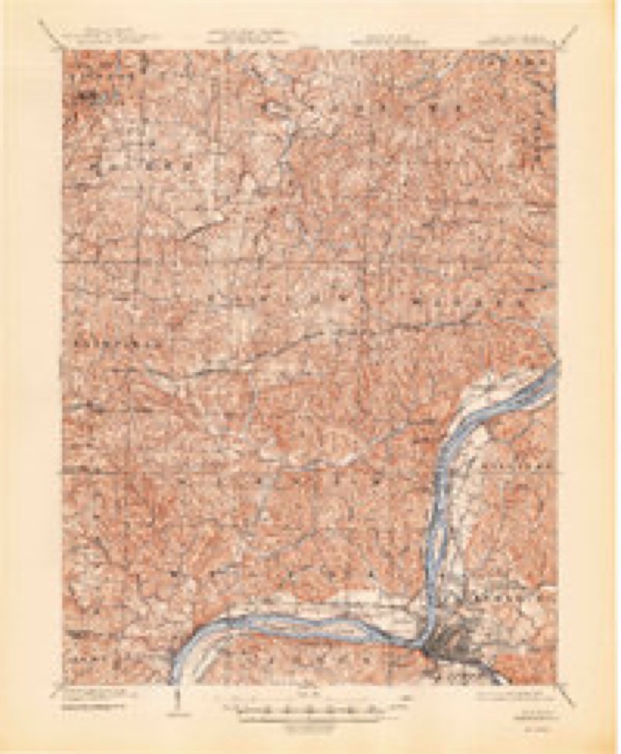
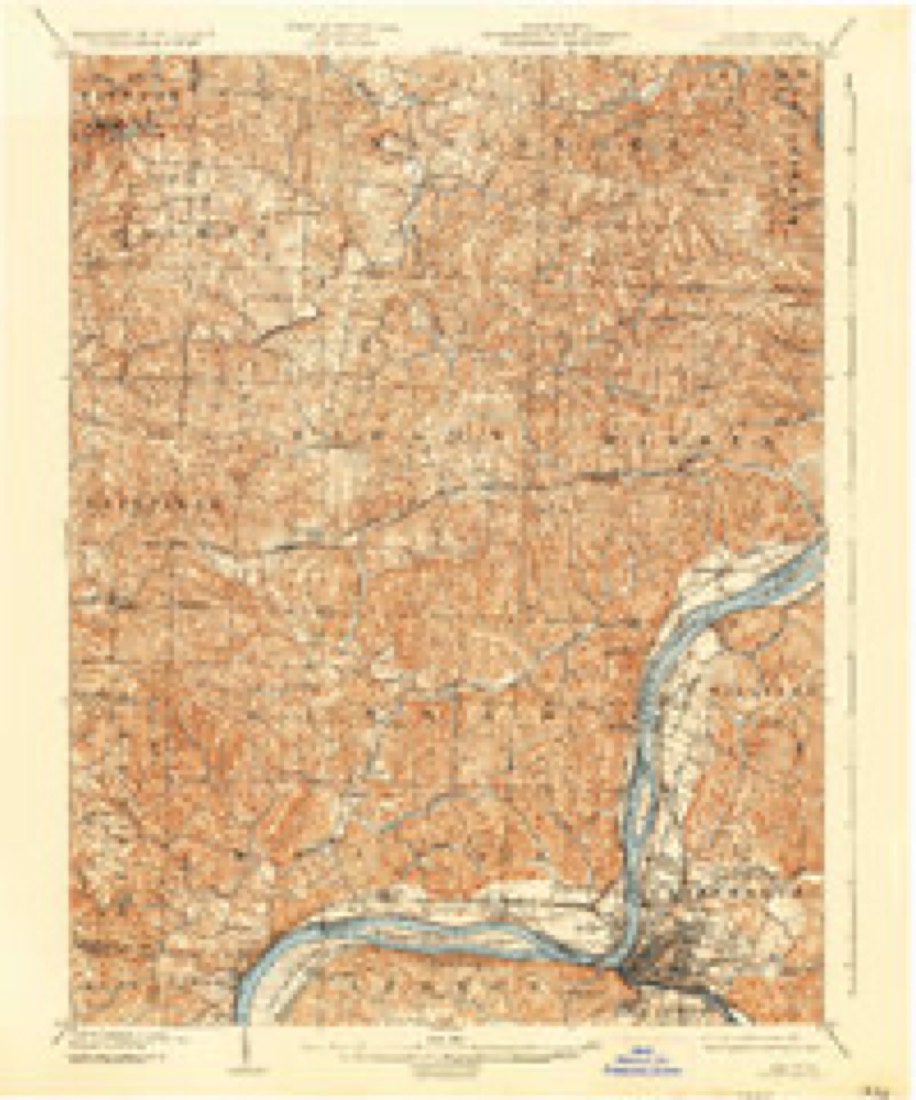
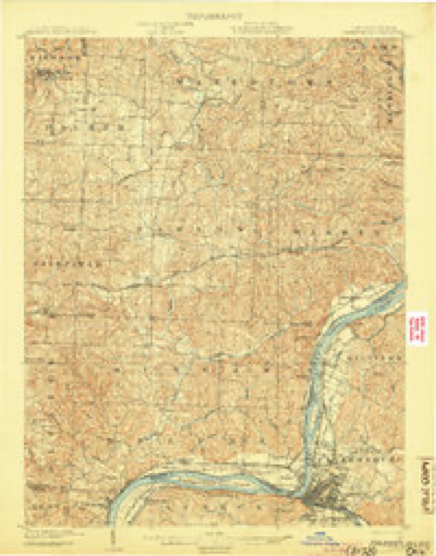
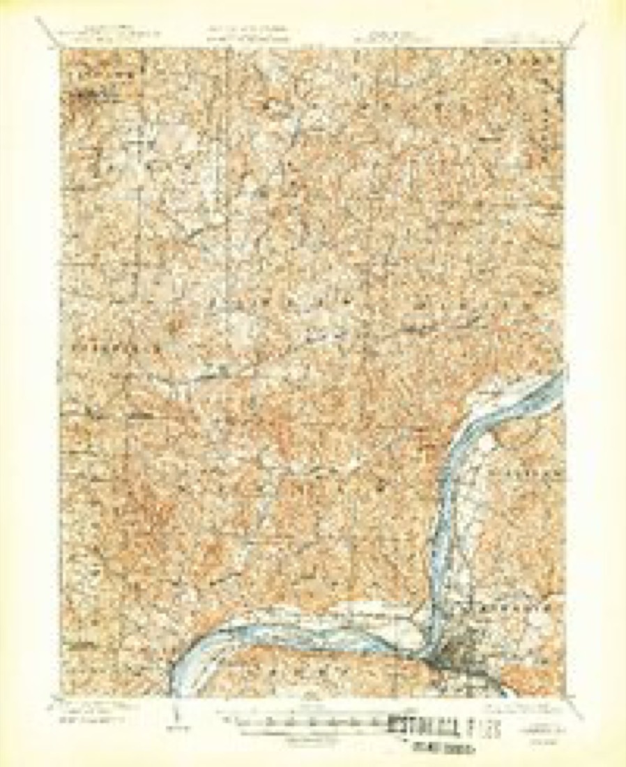
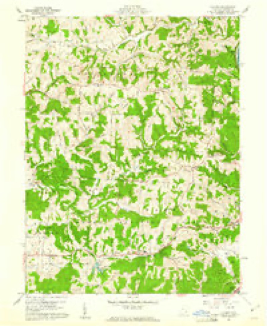
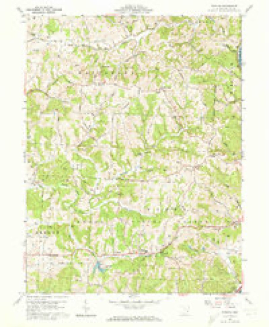
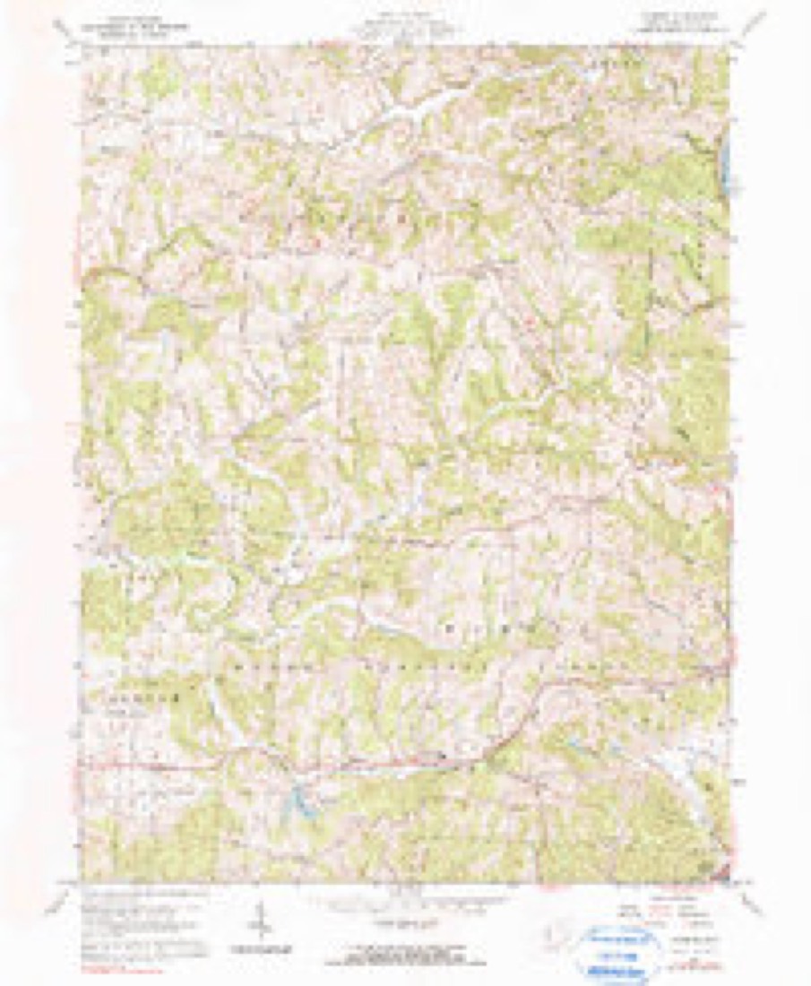
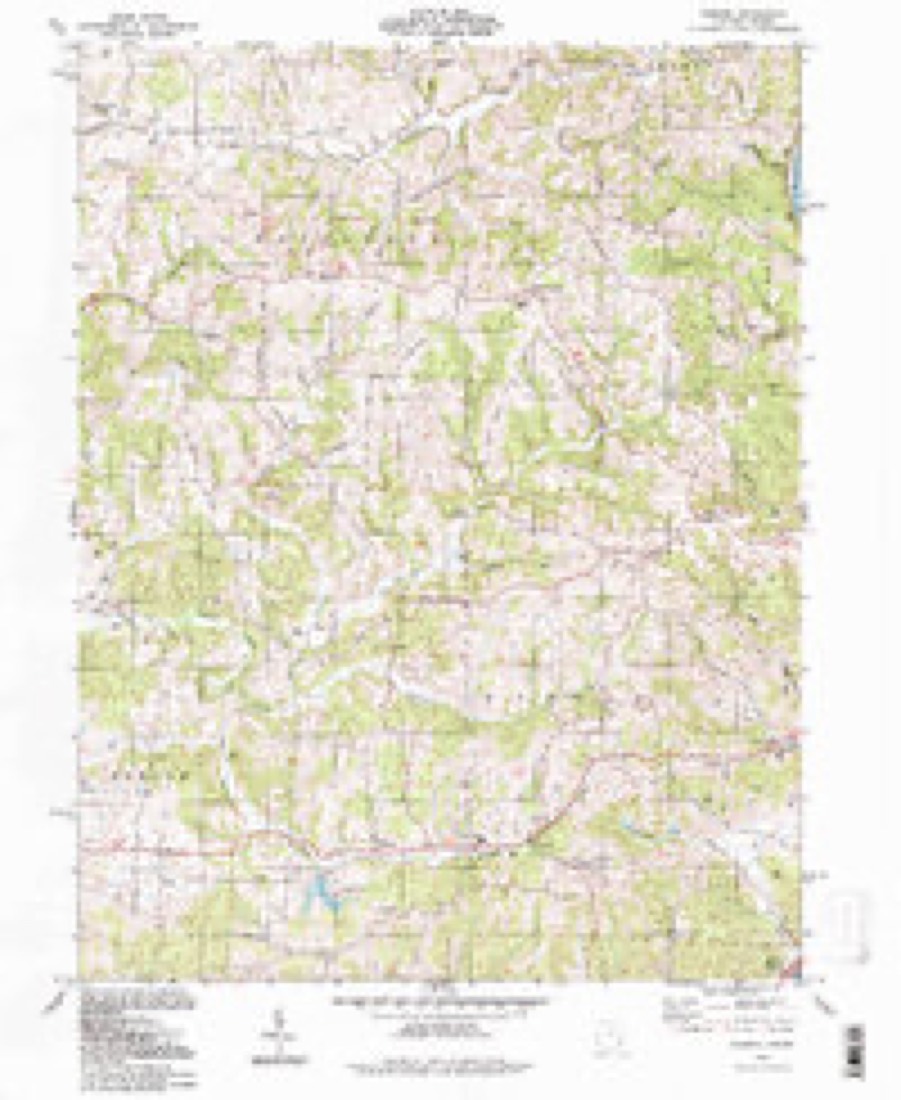
16 topographic sheets cover this place, the earliest surveyed in 1902 and the latest in 1994. It stands in Barlow Township. It lies in ZIP code area 45729. It stands on Buffalo Run. The Survey maps it on the Fleming quadrangle. It stands 794 feet above sea level.
Then and now
1902 to 1994The same ground, surveyed 92 years apart. Drag the handle to wipe between them. Both sheets are United States Geological Survey originals; neither has been altered.
Compare 1902 against another survey:
Topographic sheets covering this place
16 sheetsMatched by testing this settlement's coordinate against the published boundary of every sheet in the United States Geological Survey's historical collection. Each opens the scanned sheet at the Survey.
- 1902 USGS Parkersburg quadrangle1:62500
- 1904 USGS Parkersburg quadrangle1:62500
- 1904 USGS Parkersburg quadrangle1:62500
- 1904 USGS Parkersburg quadrangle1:62500
- 1904 USGS Parkersburg quadrangle1:62500
- 1904 USGS Parkersburg quadrangle1:62500
- 1949 USGS Clarksburg quadrangle1:250000
- 1956 USGS Clarksburg quadrangle1:250000
- 1956 USGS Clarksburg quadrangle1:250000
- 1960 USGS Fleming quadrangle1:24000
- 1960 USGS Fleming quadrangle1:24000
- 1960 USGS Fleming quadrangle1:24000
- 1961 USGS Clarksburg quadrangle1:250000
- 1981 USGS Parkersburg quadrangle1:100000
- 1988 USGS Clarksburg quadrangle1:250000
- 1994 USGS Fleming quadrangle1:24000





In the county-history sources
13,310 words on this townshipHistory of Washington County, Ohio, published 1881 names this settlement in its chapter on Barlow Township. These are the passages that mention it, exactly as the scans read.
Section sixteen was granted by Congress for school and section twenty-nine for church purposes. These sections were surveyed and laid out in lots April 12, 1812, by Joseph Palmer, Cornelius Houghland, and Nathan Proctor, and they were viewed and appraised by Duty Greene. Five lots, Nos. 1, 2, 3, 4, and 5, of eighty acres each, were first laid out in section twentynine and valued at one dollar and seventy-five cents, to two dollars per acre. 'This land was rented to settlers, the rents collected by the trustees and applied to payment of teachers and preachers. In 1823 it was resolved by the trustees that any kind of goods in merchantable trade would be received for rents at following prices, viz: wheat, seventy-five cents per bushel, corn fifty cents, rye fifty cents, oats thirty-three cents, pork four dollars and fifty cents, and tow-linen cloth fifty cents per yard. Duty Greene as agent for the Methodist Episcopal valuation to be paid every year as rent for said lands." This lease was witnessed by David Ewell, Samuel Clark, and Thomas Dunbar, and the trustees were Joseph Palmer, John Curtis and Edmund Neal.
Passage source: History of Washington County, Ohio, published 1881.
Soon after, James Lawton began the erection of the first cabin, which was built immediately east of the present brick farm residence above mentioned - a relic of this first cabin in Barlow township is preserved, in the shape of a cane made from one of the walnut logs, and is now in possession of the Lawton family.
Passage source: History of Washington County, Ohio, published 1881.
Cornelius Houghland, an early settler of what is now Barlow township, was a native of Hampshire county, Virginia, where he was born in 1773. In the spring of 1796 he married Anna Stalcut, and the fall of the saine year left for Kentucky. He soon found his way to the vicinity of Williamstown opposite Marietta, where he made a settlement on a branch of Big run since known as Houghland's run. In April, 1801, with his brotherin-law Thomas McGuire, he removed to what was then known as 'White Oak settlement," and located on the farm now owned by Neal I.oynachan's heirs, one mile west of Barlow village. In his log cabin he kept the first licensed tavern in the township. he license was issued January 5, 1806, for the township of Wooster, and was signed by E. W. Tupper. Mr. Houghland was killed March 10, £818, while cutting timber, a tree falling upon him. His wife died April 29, 1824, in her forty-eighth year. 'Their children were Polly, Margaret, Ruth, John, Eleanor, Elza, Lewis, David, and Arna. All are now dead except Anna (widow of Harris Palmer), who lives in Palmer township, aged sixty-four. Polly was the wife of Rev. Edmund Mc- Ginnis. Margaret married Benjamin F. Palmer, of Barlow. She died May 19, 1875, in her seventy-seventh year. She had four children: Joah F., Joseph, Cornelius (who died young), and Elza H. Ruth Houghland died in childhood. Eleanor became the wife of Vincent Smith, of Plymouth, this county.
Passage source: History of Washington County, Ohio, published 1881.
Machine-read from a century-old scan, so expect the errors a machine makes: misspelled names, dropped words, stray characters.
Read the whole chapter on Barlow Township - it names this place 11 more 11 times.
Fires near this place
5 since 2002Regional context, not property-specific evidence. The federal wildfire occurrence database lists 5 fires within 5 miles of Fleming between 2002 and 2019, burning about 6 acres in total. None started naturally. None was recorded as arson. Distance is straight-line from the map coordinates, so a fire counted here may appear on a neighbouring settlement's page as well.
| Reported cause | Fires |
|---|---|
| Debris and open burning | 3 |
| Smoking | 1 |
| Equipment and vehicle use | 1 |
The most recent of them, most recent first, with the day each was reported and the service that recorded it.
| Date | Cause | Size | Reported by | Name on the report |
|---|---|---|---|---|
| 8 March 2002 | Debris and open burning | 1.0 acres | West Virginia Division of Forestry | PARKERSBURG COUNTRY CLUB |
| 27 March 2019 | Debris and open burning | under an acre | Ohio Department of Natural Resources | 15105 |
| 24 March 2019 | Debris and open burning | under an acre | Ohio Department of Natural Resources | 15103 |
| 24 March 2017 | Smoking | 3.5 acres | Ohio Department of Natural Resources | 7666 |
| 27 February 2019 | Equipment and vehicle use | 1.0 acres | Ohio Department of Natural Resources | 15106 |
Settlements close enough to share some of these fires:
Specimens collected near this place
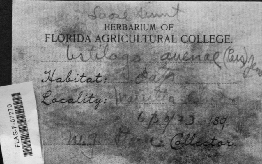
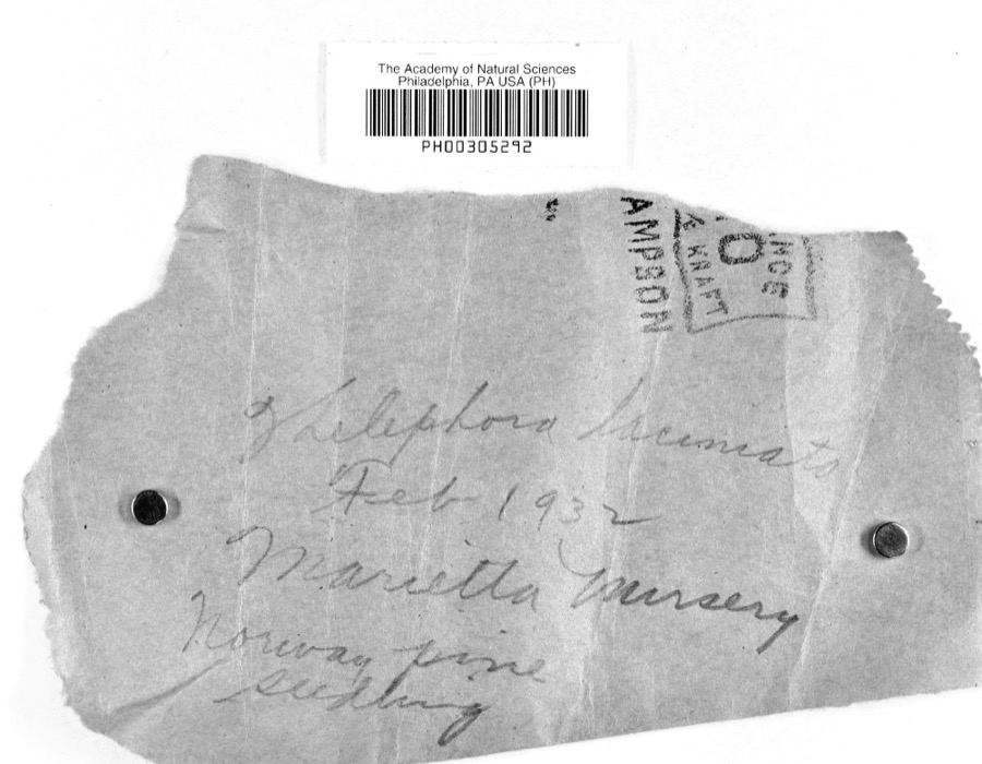
12 of 1,187 shownRegional context, not property-specific evidence. Museums hold 1,187 specimens collected within 10 miles of Fleming between 1853 and 1974: 982 Animalia, 167 Fungi, 33 Plantae, 4 Chromista, 1 Unrecorded. 12 distinct Species records are shown. Collected by A. Drew, A. L. McElhose, AGOSTINI, CHARLES T and others. Each is a physical object with a catalogue number, and each entry opens the museum's record. This is what was collected and kept, not a survey of what lives here - nothing can be concluded from a species being absent.
| Image | Species | Year | Collected by | Where, as recorded |
|---|---|---|---|---|
 | Ustilago avenae (Pers.) Rostr. | 1923 | W.G. Stoner | Marietta |
 | Thelephora laciniata (Pers.) Pers. | 1932 | L.W.R.J. | Nursery, Marietta |
 | Catostomus commersonii (Lacepède, 1803) | 1853 | E. Andrews | Marietta, Ohio |
 | Inula helenium L. | 1877 | Guttenberg, G. | Parkersburg |
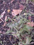 | Sonchus asper (L.) Hill | 1877 | Guttenberg, G. | Parkersburg |
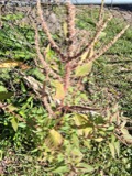 | Amaranthus spinosus L. | 1878 | Guttenberg, G. | Parkersburg |
 | Clinopodium vulgare L. | 1878 | Guttenberg, G.* | Parkersburg |
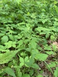 | Scutellaria nervosa Pursh | 1878 | Guttenberg, G. | Parkersburg |
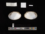 | Actinonaias carinata gibba (C.T.Simpson, 1900) | 1879 | W. Holden | Ohio River, Near Marietta |
 | Necturus maculosus (Rafinesque, 1818) | 1886 | Georg Baur | Marietta |
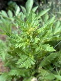 | Rorippa palustris var. fernaldiana (Butters & Abbe) Stuckey | 1891 | C. F. Millspaugh | Parkersburg. |
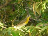 | Icteria virens (Linnaeus, 1758) | 1893 | Shufeldt, R. | Marietta |
All 1,187 specimens within 10 miles, at the Global Biodiversity Information Facility.
Mines and quarries near this place
4 within 5 milesRegional context, not property-specific evidence. The federal mineral resources record lists 4 workings within 5 miles of Fleming: 3 producers, 1 plant. All of them still produce. What was taken out: Sand and Gravel, Construction. Distance is straight-line from the map coordinates, so a quarry counted here may appear on a neighbouring settlement's page as well.
| Where | Site | Commodity | Status | Recorded |
|---|---|---|---|---|
| Briggs Plant & Pit | Sand and Gravel, Construction | Plant | ||
| Harley E Calvin Pit | Sand and Gravel, Construction | Producer | ||
| Merrill Brothers Gravel | Sand and Gravel, Construction | Producer | ||
| Trout Sand and Gravel Pit | Sand and Gravel, Construction | Producer |
Storms near this place
3 since 2008Regional context, not property-specific evidence. The National Weather Service names Fleming in 3 storm reports between 2008 and 2018: 2 hail, 1 thunderstorm wind. No death or injury is recorded in these reports. Each account below is quoted exactly as the forecast office filed it, from the NOAA Storm Events Database, and each date opens the federal record of that event.
| When | Event | Place named | Harm | What the report says |
|---|---|---|---|---|
| June 2008 | Thunderstorm Wind | Fleming | $2,000 | Trees fell onto power lines. |
| May 2018 | Hail | Fleming | - | no account filed |
| October 2016 | Hail | Fleming | - | no account filed |
Nearest settlements
The eight closest, with where each one stands in the county. Distances are straight-line, computed from the Geographic Names Information System coordinates.
Elsewhere
Matched on this settlement's Geographic Names Information System number rather than its name, so it cannot be a different place of the same name in another state.
| Wikipedia article on Fleming | An encyclopaedic summary. Its text is share-alike, so it is linked here rather than copied. |
| Wikidata item Q5458557 | The structured record the population and elevation above come from. Public domain (CC0). |
Provenance
This settlement is recorded in the Geographic Names Information System as feature 1062767. The sheet list is computed by point-in-boundary test against the United States Geological Survey's historical topographic inventory. Both are works of the United States government and carry no copyright under 17 U.S.C. 105.
Wildfire. Short, Karen C. 2022. Spatial wildfire occurrence data for the United States, 1992-2020 [FPA_FOD_20221014]. 6th Edition. Fort Collins, CO: Forest Service Research Data Archive. https://doi.org/10.2737/RDS-2013-0009.6 Collected with United States Government funding and usable without additional permissions or fees.
Specimens. Global Biodiversity Information Facility (GBIF), https://www.gbif.org/. Only records licensed CC0 or CC BY are used. Records licensed CC BY-NC are excluded because this site carries advertising. Images are checked individually and any whose licence is non-commercial, no-derivatives or unreadable is refused.
Mines and quarries. USGS Mineral Resources Data System (MRDS) https://mrdata.usgs.gov/mrds/ A work of the United States government, no copyright under 17 U.S.C. 105.
Storms. NOAA National Centers for Environmental Information, Storm Events Database https://www.ncei.noaa.gov/stormevents/ A work of the United States government, no copyright under 17 U.S.C. 105. Narratives are quoted verbatim from the National Weather Service report and are not edited or summarised.