 Block
Block
Vincent, Ohio
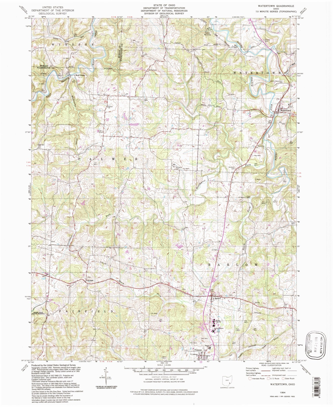
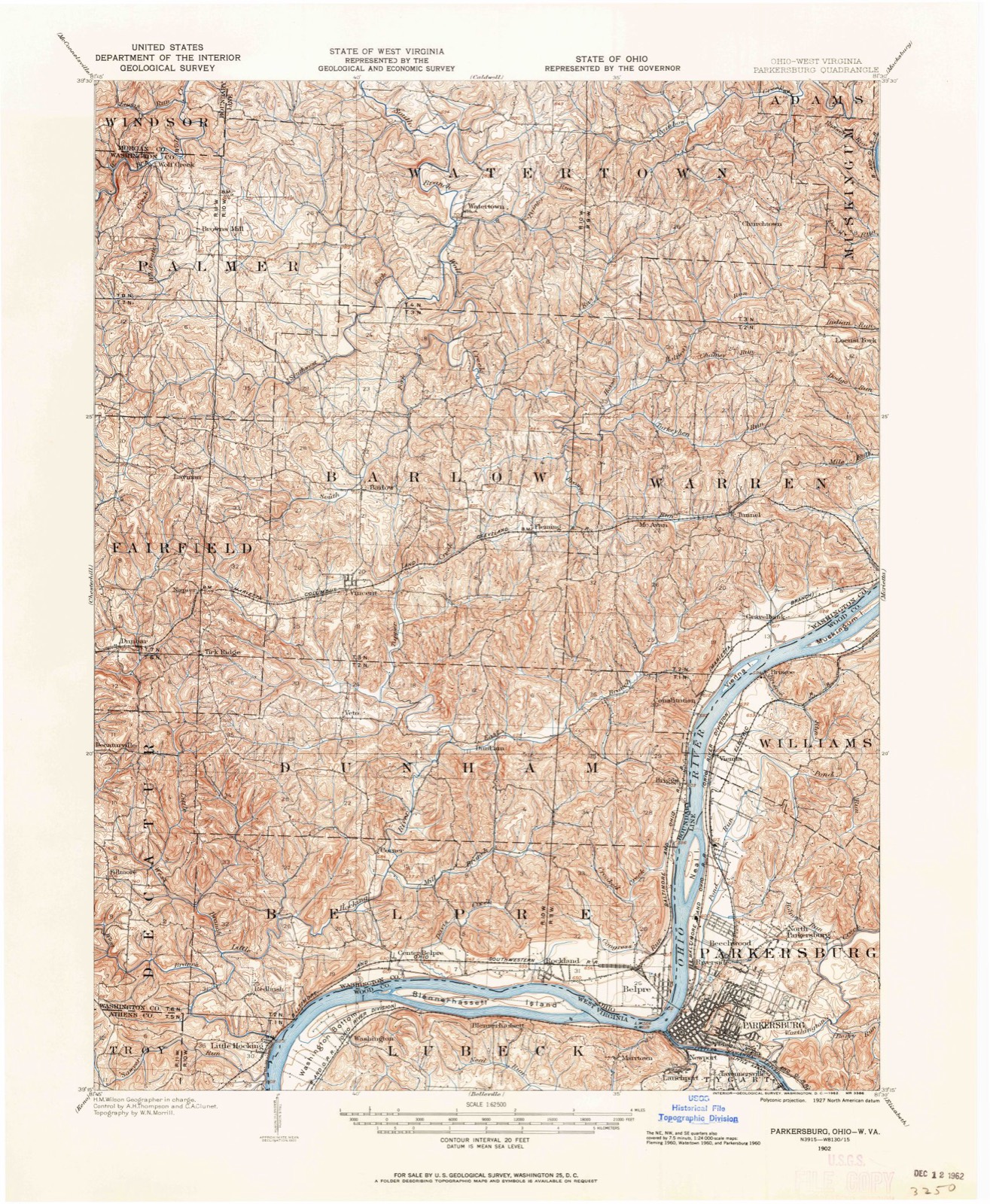
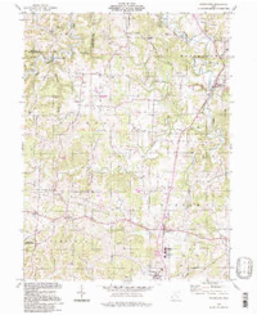
16 topographic sheets cover this place, the earliest surveyed in 1902 and the latest in 1994. It stands in Barlow Township. It lies in ZIP code area 45784. It stands on Buffalo Run. The Survey maps it on the Watertown quadrangle. 329 people lived here at the 2020 count. It stands 768 feet above sea level.
Population over time
2 figuresVincent fell from 339 to 329 between 2010 and 2020. These are the recorded population figures Wikidata holds for this place, reached through the Geographic Names Information System number this page is keyed on rather than by name, so they belong to this place and not to another of the same name. Most are census counts, but not all are: an early figure may be a founding or settlement estimate. The change column is computed, and is left blank where more than 20 years separate a figure from the one before it, because a gap that long is not a change between two counts.
| Year | People | Change |
|---|---|---|
| 2010 | 339 | |
| 2020 | 329 | -10 (-3%) |
Then and now
1902 to 1994The same ground, surveyed 92 years apart. Drag the handle to wipe between them. Both sheets are United States Geological Survey originals; neither has been altered.
Compare 1902 against another survey:
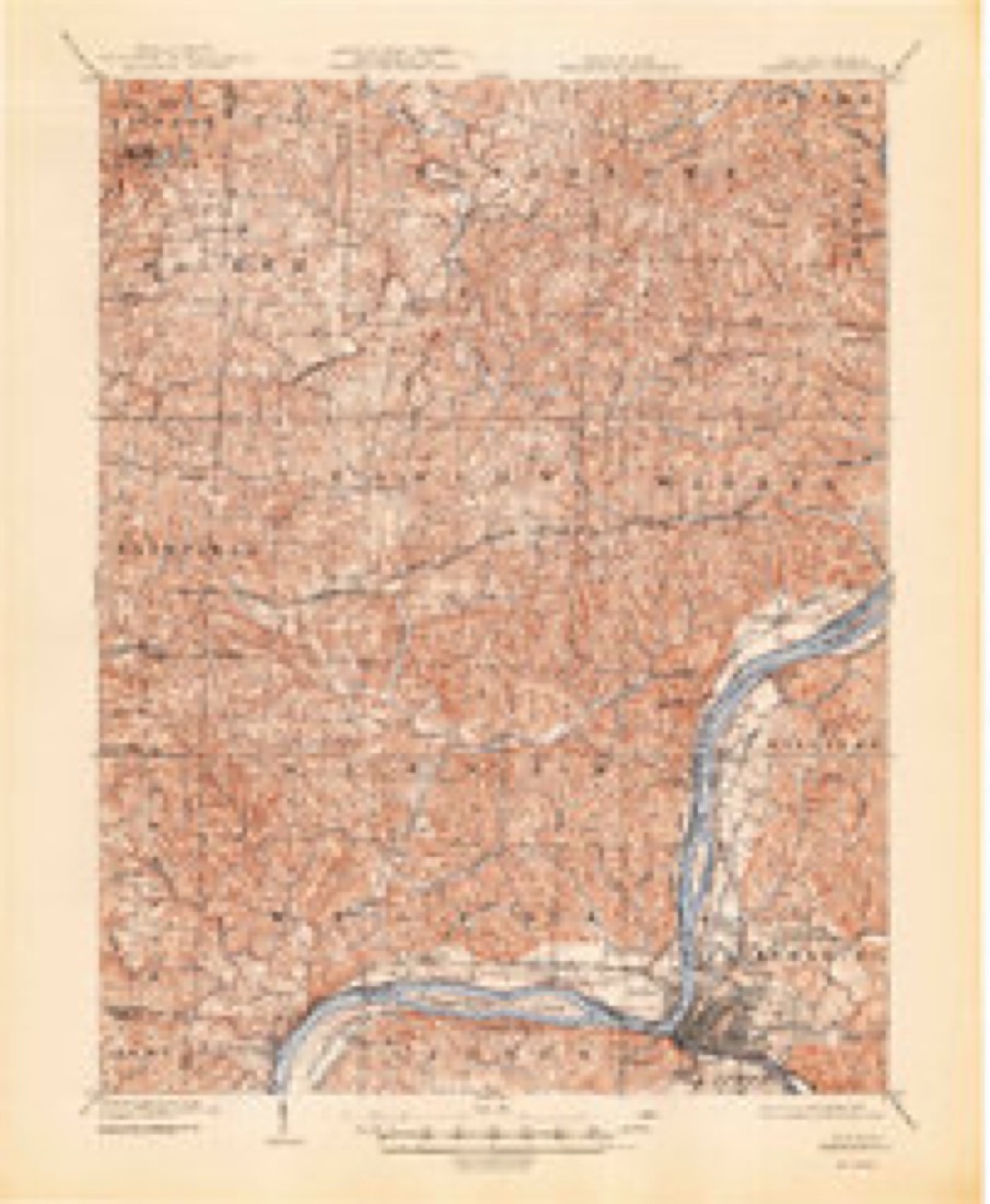
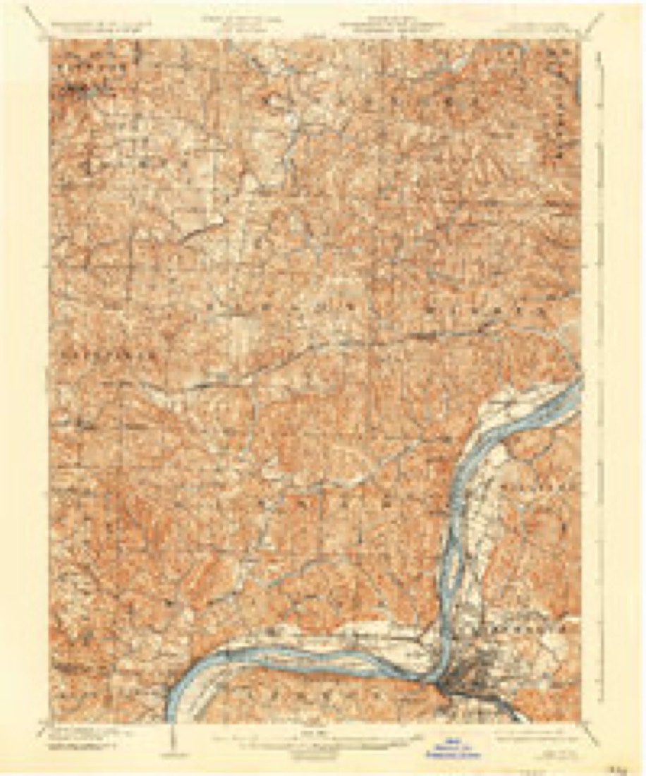
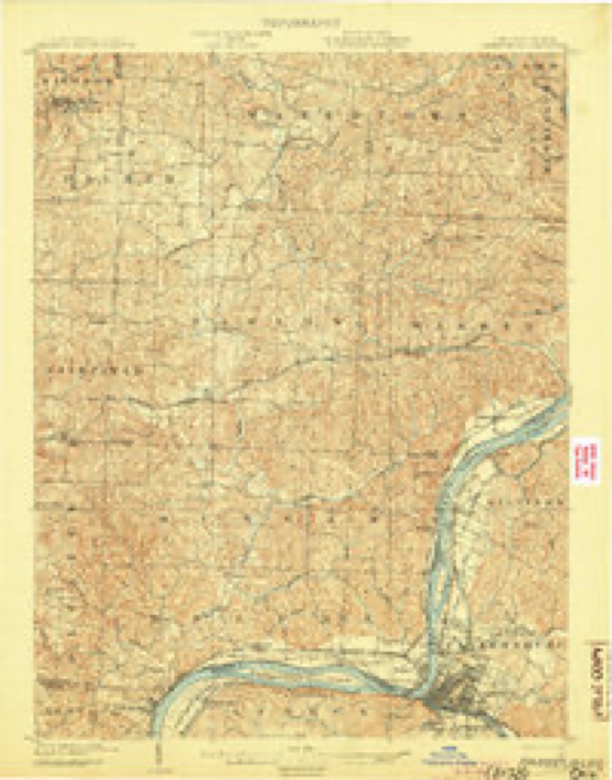
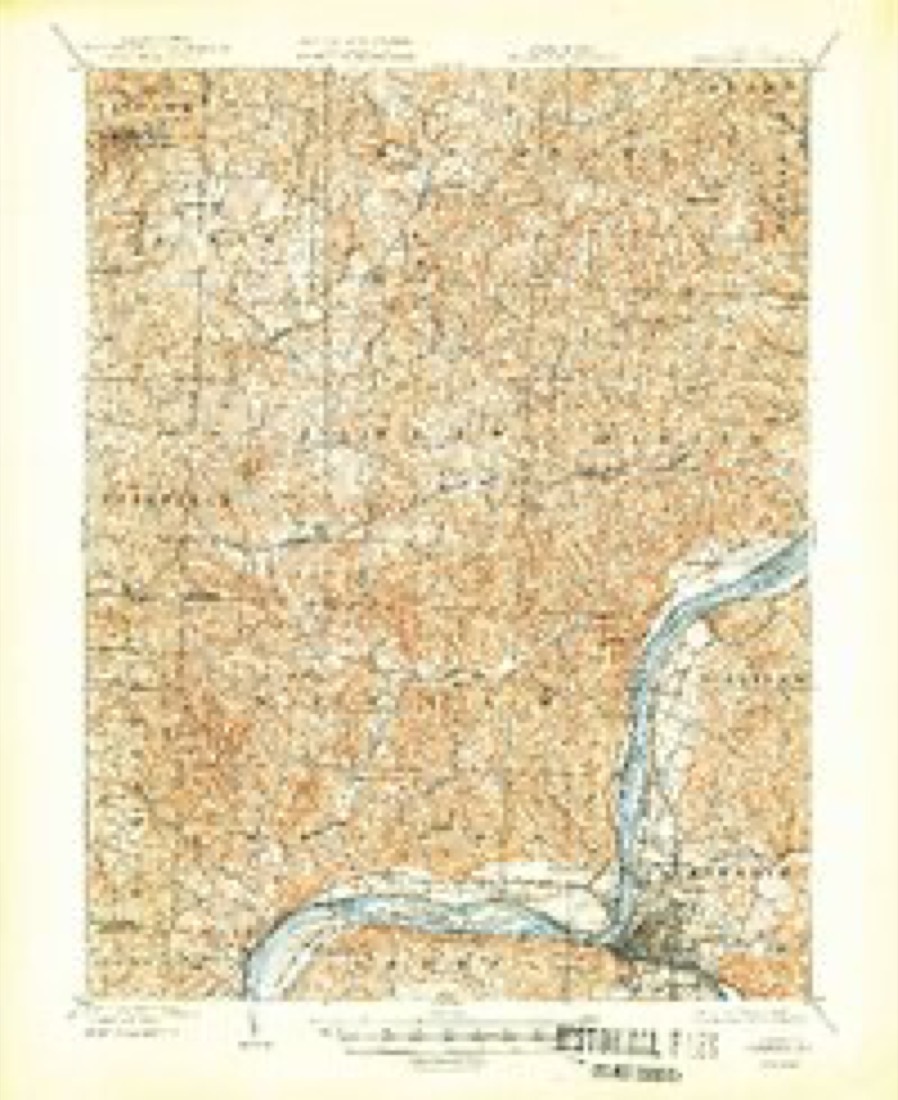
Topographic sheets covering this place
16 sheetsMatched by testing this settlement's coordinate against the published boundary of every sheet in the United States Geological Survey's historical collection. Each opens the scanned sheet at the Survey.
- 1902 USGS Parkersburg quadrangle1:62500
- 1904 USGS Parkersburg quadrangle1:62500
- 1904 USGS Parkersburg quadrangle1:62500
- 1904 USGS Parkersburg quadrangle1:62500
- 1904 USGS Parkersburg quadrangle1:62500
- 1904 USGS Parkersburg quadrangle1:62500
- 1949 USGS Clarksburg quadrangle1:250000
- 1956 USGS Clarksburg quadrangle1:250000
- 1956 USGS Clarksburg quadrangle1:250000
- 1960 USGS Watertown quadrangle1:24000
- 1960 USGS Watertown quadrangle1:24000
- 1960 USGS Watertown quadrangle1:24000
- 1961 USGS Clarksburg quadrangle1:250000
- 1981 USGS Parkersburg quadrangle1:100000
- 1988 USGS Clarksburg quadrangle1:250000
- 1994 USGS Watertown quadrangle1:24000





In the county-history sources
13,310 words on this townshipHistory of Washington County, Ohio, published 1881 names this settlement in its chapter on Barlow Township. These are the passages that mention it, exactly as the scans read.
The soil is of red and yellow clay, and in many localities are found beds of shale of considerable thickness, containing small concretionary lumps of limestone in large quantities, thus giving the shales (or "marls," as they are popularly called) great value in fertilization. The chief productions are fruits, wheat, corn, and the ordinary farm products of this section. The chief branch of industry is wool growing, which is carried on quite extensively. The Merino sheep is the favorite breed in this locality, producing fleeces of fine wool, commanding good prices. The market for this production is local and ample, thus rendering the operations of trade both easy and profitable to the producers.
Passage source: History of Washington County, Ohio, published 1881.
Section sixteen was granted by Congress for school and section twenty-nine for church purposes. These sections were surveyed and laid out in lots April 12, 1812, by Joseph Palmer, Cornelius Houghland, and Nathan Proctor, and they were viewed and appraised by Duty Greene. Five lots, Nos. 1, 2, 3, 4, and 5, of eighty acres each, were first laid out in section twentynine and valued at one dollar and seventy-five cents, to two dollars per acre. 'This land was rented to settlers, the rents collected by the trustees and applied to payment of teachers and preachers. In 1823 it was resolved by the trustees that any kind of goods in merchantable trade would be received for rents at following prices, viz: wheat, seventy-five cents per bushel, corn fifty cents, rye fifty cents, oats thirty-three cents, pork four dollars and fifty cents, and tow-linen cloth fifty cents per yard. Duty Greene as agent for the Methodist Episcopal valuation to be paid every year as rent for said lands." This lease was witnessed by David Ewell, Samuel Clark, and Thomas Dunbar, and the trustees were Joseph Palmer, John Curtis and Edmund Neal.
Passage source: History of Washington County, Ohio, published 1881.
In the summer of 1800, William Vincent and family, Cornelius Houghland, his brother-in-law, Thomas Mc- Guire, and their families arrived in this vicinity. Duty Greene came the following year, and was probably the first Methodist in this locality. He was one of the leading men in the religious work of those early days, especially as a leader in the singing, and was very partial to a familiar methodist hymn called the "Good Old Way," which he sang on very frequent occasions.
Passage source: History of Washington County, Ohio, published 1881.
Machine-read from a century-old scan, so expect the errors a machine makes: misspelled names, dropped words, stray characters.
Read the whole chapter on Barlow Township - it names this place 17 more 17 times.
Fires near this place
2 since 2019Regional context, not property-specific evidence. The federal wildfire occurrence database lists 2 fires within 5 miles of Vincent between 2019 and 2020, burning about 2 acres in total. None started naturally. None was recorded as arson. Distance is straight-line from the map coordinates, so a fire counted here may appear on a neighbouring settlement's page as well.
| Reported cause | Fires |
|---|---|
| Equipment and vehicle use | 1 |
| Missing data/not specified/undetermined | 1 |
The most recent of them, most recent first, with the day each was reported and the service that recorded it.
| Date | Cause | Size | Reported by | Name on the report |
|---|---|---|---|---|
| 9 March 2020 | Missing data/not specified/undetermined | 1.0 acres | Ohio Department of Natural Resources | 15509 |
| 27 February 2019 | Equipment and vehicle use | 1.0 acres | Ohio Department of Natural Resources | 15106 |
Settlements close enough to share some of these fires:
Specimens collected near this place
12 of 272 shownRegional context, not property-specific evidence. Museums hold 272 specimens collected within 10 miles of Vincent between 1877 and 1975: 143 Fungi, 108 Animalia, 18 Plantae, 3 Chromista. 12 distinct Species records are shown. Collected by Archer W. A., Archer, W. A., Bartholomew E. and others. Each is a physical object with a catalogue number, and each entry opens the museum's record. This is what was collected and kept, not a survey of what lives here - nothing can be concluded from a species being absent.
| Image | Species | Year | Collected by | Where, as recorded |
|---|---|---|---|---|
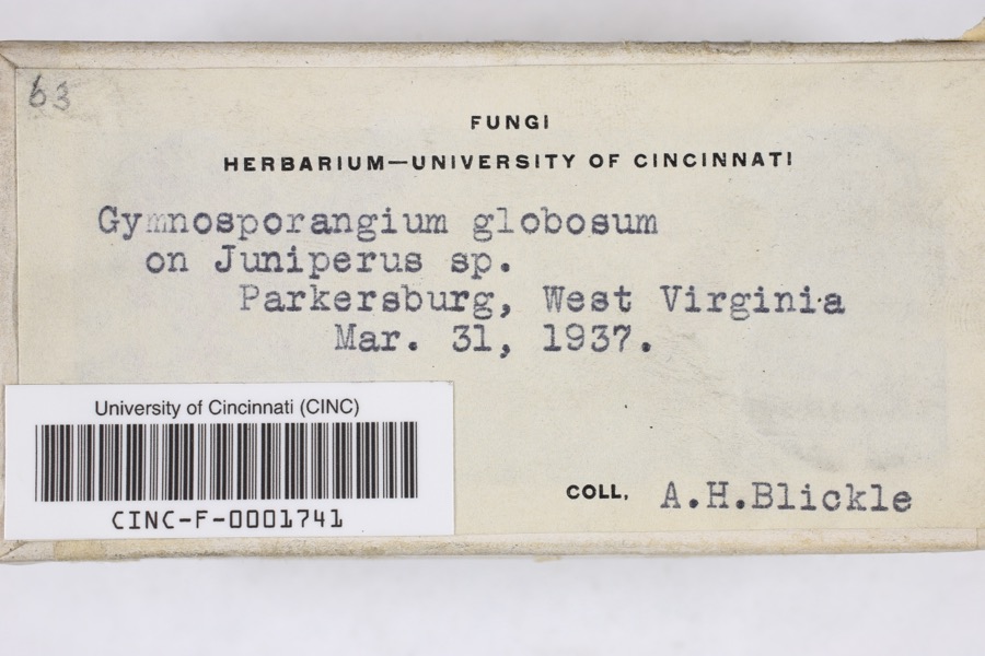 | Gymnosporangium globosum (Farl.) Farl. | 1937 | Blickle, A.H. | Parkersburg |
 | Petrova houseri Miller, 1959 | 1954 | W. Miller | Veto |
 | Inula helenium L. | 1877 | Guttenberg, G. | Parkersburg |
 | Sonchus asper (L.) Hill | 1877 | Guttenberg, G. | Parkersburg |
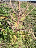 | Amaranthus spinosus L. | 1878 | Guttenberg, G. | Parkersburg |
 | Clinopodium vulgare L. | 1878 | Guttenberg, G.* | Parkersburg |
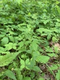 | Scutellaria nervosa Pursh | 1878 | Guttenberg, G. | Parkersburg |
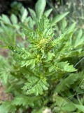 | Rorippa palustris var. fernaldiana (Butters & Abbe) Stuckey | 1891 | C. F. Millspaugh | Parkersburg. |
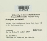 | Uromyces asclepiadis Cooke | 1902 | W. A. Kellerman | Belpre |
 | Botryosphaeria ribis Grossenb. & Duggar | 1927 | Shear C. L. | Parkersburg |
| Coniothyrium Corda, 1840 | 1927 | Martin G. Hamilton | Parkersburg | |
 | Didymellina iridis (Desm.) Höhn. | 1927 | Martin G. H.; Craig F. W. | Parkersburg |
All 272 specimens within 10 miles, at the Global Biodiversity Information Facility.
Storms near this place
5 since 1996Regional context, not property-specific evidence. The National Weather Service names Vincent in 5 storm reports between 1996 and 2017: 2 hail, 2 thunderstorm wind, 1 flash flood. No death or injury is recorded in these reports. Each account below is quoted exactly as the forecast office filed it, from the NOAA Storm Events Database, and each date opens the federal record of that event.
| When | Event | Place named | Harm | What the report says |
|---|---|---|---|---|
| June 2003 | Flash Flood | Vincent | $150,000 | Rains of 2.5 to 3 inches fell in 90 minutes or less. Roads were flooded. One vehicle was flooded by Tupper Creek. Warren Township had water into several basements. A few evacuations were required along Route 150. |
| February 2011 | Thunderstorm Wind | Vincent | $5,000 | Trres were blown down. One tree fell onto a house. |
| May 2017 | Thunderstorm Wind | Vincent | $500 | A single tree was blown down. |
| May 2014 | Hail | Vincent | - | no account filed |
| July 1996 | Hail | Vincent | - | no account filed |
Nearest settlements
The eight closest, with where each one stands in the county. Distances are straight-line, computed from the Geographic Names Information System coordinates.
Elsewhere
Matched on this settlement's Geographic Names Information System number rather than its name, so it cannot be a different place of the same name in another state.
| Wikipedia article on Vincent | An encyclopaedic summary. Its text is share-alike, so it is linked here rather than copied. |
| Wikidata item Q3472137 | The structured record the population and elevation above come from. Public domain (CC0). |
Provenance
This settlement is recorded in the Geographic Names Information System as feature 1065440. The sheet list is computed by point-in-boundary test against the United States Geological Survey's historical topographic inventory. Both are works of the United States government and carry no copyright under 17 U.S.C. 105.
Wildfire. Short, Karen C. 2022. Spatial wildfire occurrence data for the United States, 1992-2020 [FPA_FOD_20221014]. 6th Edition. Fort Collins, CO: Forest Service Research Data Archive. https://doi.org/10.2737/RDS-2013-0009.6 Collected with United States Government funding and usable without additional permissions or fees.
Specimens. Global Biodiversity Information Facility (GBIF), https://www.gbif.org/. Only records licensed CC0 or CC BY are used. Records licensed CC BY-NC are excluded because this site carries advertising. Images are checked individually and any whose licence is non-commercial, no-derivatives or unreadable is refused.
Storms. NOAA National Centers for Environmental Information, Storm Events Database https://www.ncei.noaa.gov/stormevents/ A work of the United States government, no copyright under 17 U.S.C. 105. Narratives are quoted verbatim from the National Weather Service report and are not edited or summarised.