 Block
Block
Barlow, Ohio
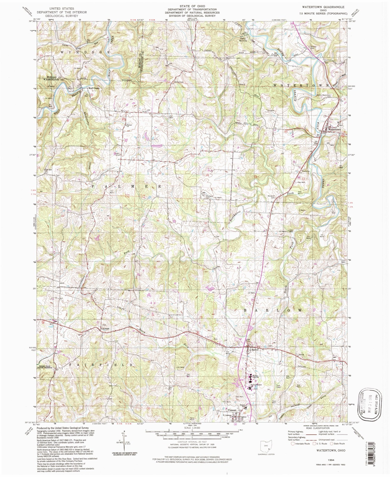
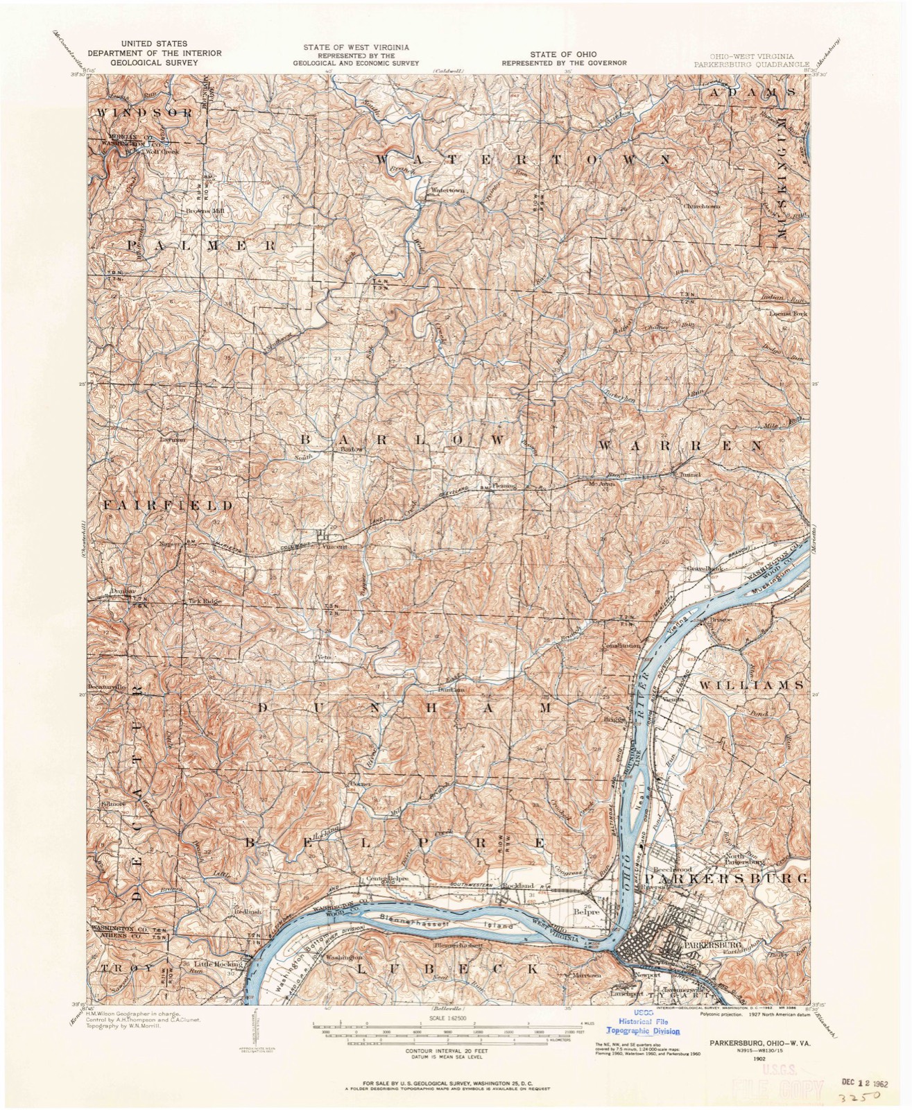
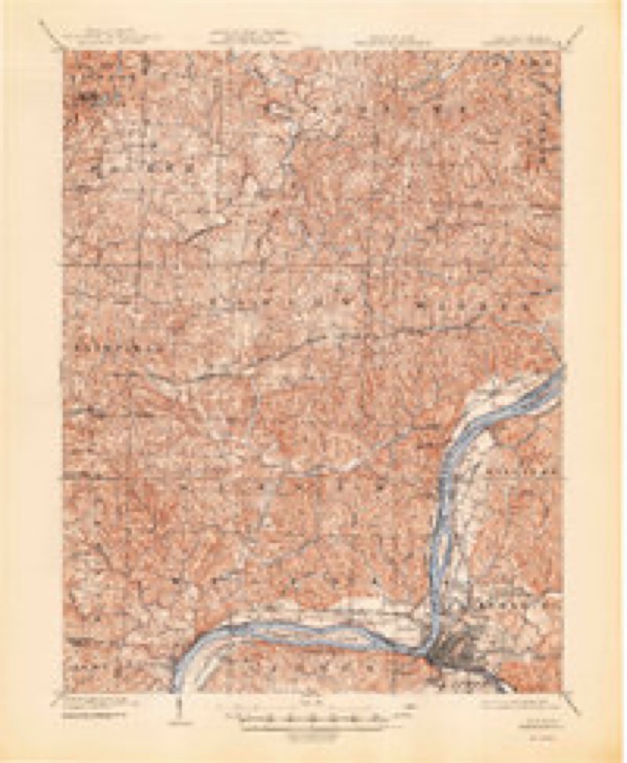
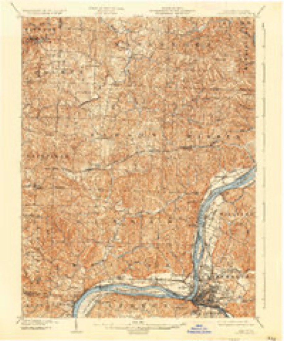
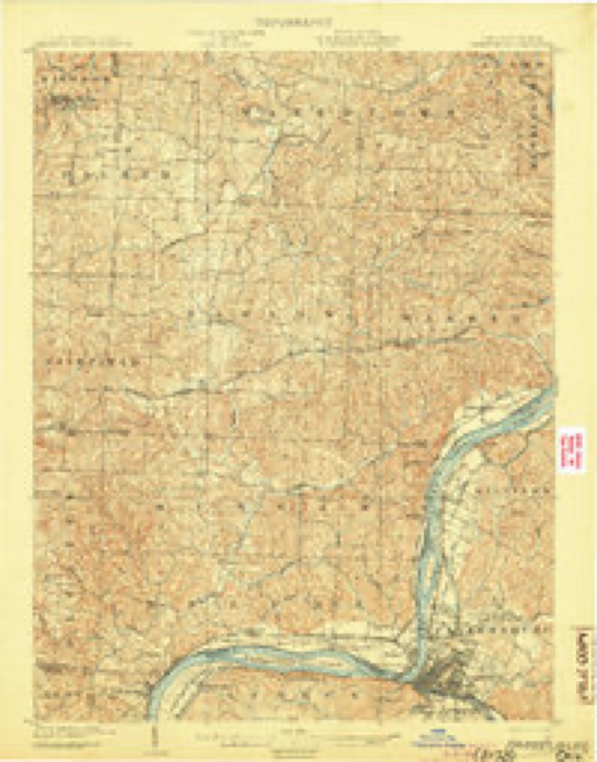
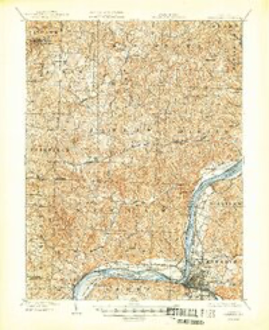
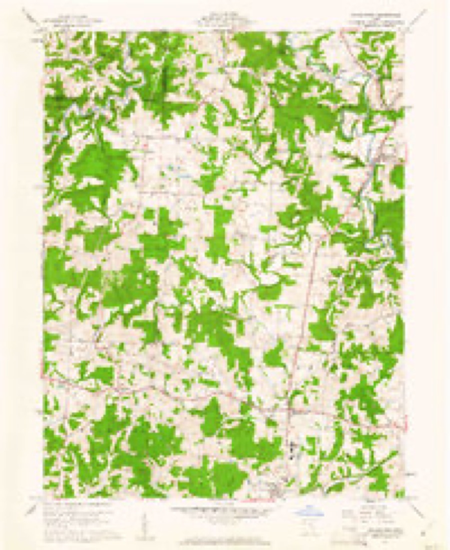
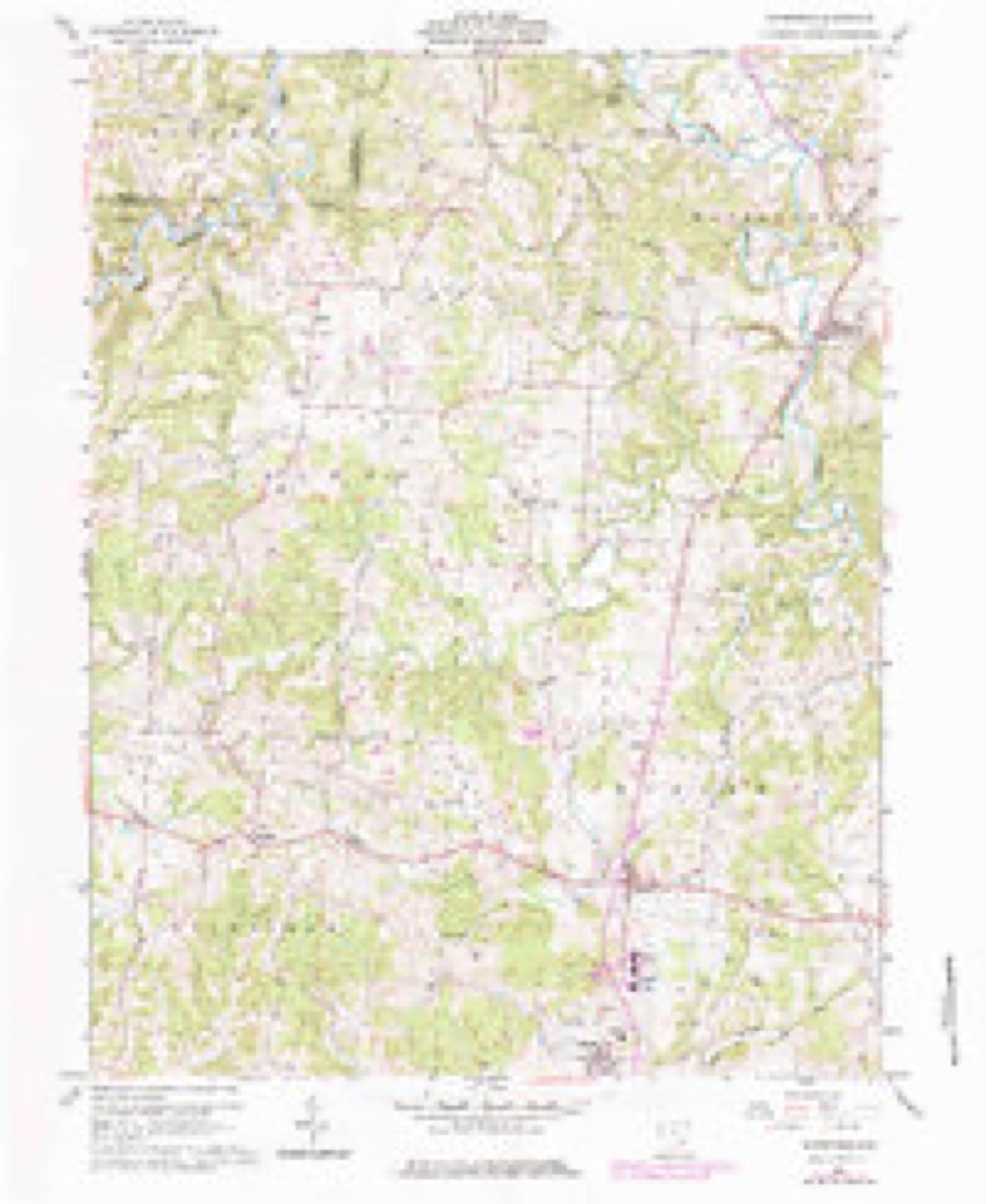
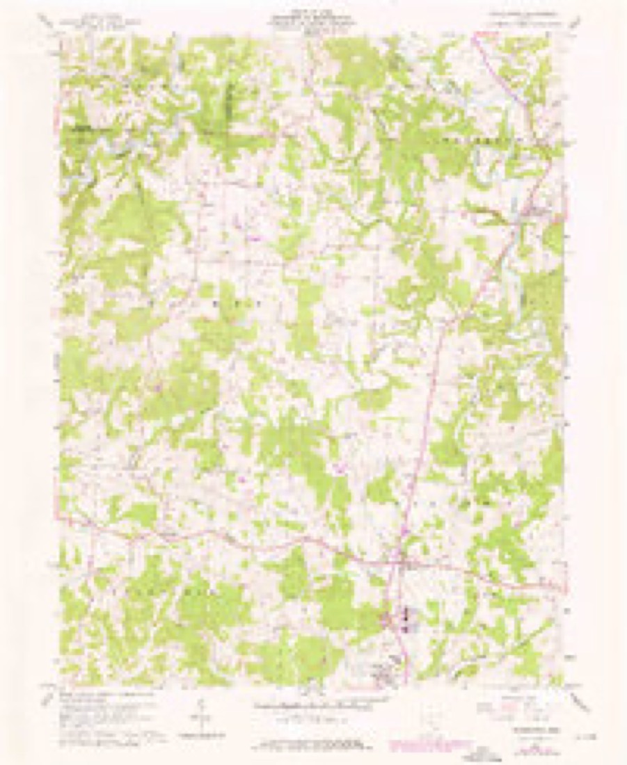
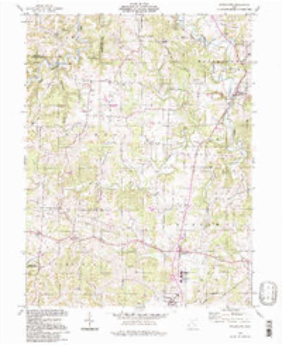
16 topographic sheets cover this place, the earliest surveyed in 1902 and the latest in 1994. It stands in Barlow Township. It lies in ZIP code area 45784. The Survey maps it on the Watertown quadrangle. It stands 755 feet above sea level.
Then and now
1902 to 1994The same ground, surveyed 92 years apart. Drag the handle to wipe between them. Both sheets are United States Geological Survey originals; neither has been altered.
Compare 1902 against another survey:
Topographic sheets covering this place
16 sheetsMatched by testing this settlement's coordinate against the published boundary of every sheet in the United States Geological Survey's historical collection. Each opens the scanned sheet at the Survey.
- 1902 USGS Parkersburg quadrangle1:62500
- 1904 USGS Parkersburg quadrangle1:62500
- 1904 USGS Parkersburg quadrangle1:62500
- 1904 USGS Parkersburg quadrangle1:62500
- 1904 USGS Parkersburg quadrangle1:62500
- 1904 USGS Parkersburg quadrangle1:62500
- 1949 USGS Clarksburg quadrangle1:250000
- 1956 USGS Clarksburg quadrangle1:250000
- 1956 USGS Clarksburg quadrangle1:250000
- 1960 USGS Watertown quadrangle1:24000
- 1960 USGS Watertown quadrangle1:24000
- 1960 USGS Watertown quadrangle1:24000
- 1961 USGS Clarksburg quadrangle1:250000
- 1981 USGS Parkersburg quadrangle1:100000
- 1988 USGS Clarksburg quadrangle1:250000
- 1994 USGS Watertown quadrangle1:24000





In the county-history sources
13,310 words on this townshipHistory of Washington County, Ohio, published 1881 names this settlement in its chapter on Barlow Township. These are the passages that mention it, exactly as the scans read.
Several seams of coal are found in this township, known as the Hobson seam, and generally found along the course of Wolf creek, but none of the seams are thick enough for practical mining - so far as the discoveries yet made are concerned. 'The probabilities are that future need of fuel will stimulate research that will be rewarded by the discovery of deeper seams of more superior coal.
Passage source: History of Washington County, Ohio, published 1881.
Jesse Lawton some years ago discovered on his farm near the village of Barlow, which is situated in the midst of the marl regions, a locality of fossil fresh water shells of the genus Unio. These shells were imbedded in coarse sand or gravel, cemented by ferruginous matter, and the specimens are casts replaced by argillacious oxide of iron. This locality bears evidence of once having been the bed of a lake or pond, but is now a valley surrounded by low hills, extending some four miles in length and a mile in width. The waters of this valley are drained by a small branch of the Little Hocking.
Passage source: History of Washington County, Ohio, published 1881.
On petition of Nathan Proctor, Benjamin Baker, and others, the inhabitants of township three, of range ten, were declared entitled to the privileges and immunities of incorporated towns, and said territory to be known as Barlow township. The inhabitants were notified to meet at the residence of James Lawton for the purpose of electing township officers, on the third Monday of July, 1818. 'The only records of any election that can now be found is that of the election of trustees and other officials for managing the school and ministerial lands, which was held on the third day of January, 1818, at the Old Hickory school-house. At this meeting Benajah Howe was made both chairman and clerk pro tem. Judges of election were Cornelius Houghland and Isaac Hutchinson. The election resulted as follows: Cornelius Houghland, S. N. Cooke, and Caleb Greene, trustees; Duty Greene, treasurer; and, in the following April, Benjamin F. Palmer was appointed to fill the vacancy occasioned by the death of Cornelius Houghland.
Passage source: History of Washington County, Ohio, published 1881.
Machine-read from a century-old scan, so expect the errors a machine makes: misspelled names, dropped words, stray characters.
Read the whole chapter on Barlow Township - it names this place 51 more 51 times.
Fires near this place
3 since 2019Regional context, not property-specific evidence. The federal wildfire occurrence database lists 3 fires within 5 miles of Barlow between 2019 and 2020, burning about 3 acres in total. None started naturally. None was recorded as arson. Distance is straight-line from the map coordinates, so a fire counted here may appear on a neighbouring settlement's page as well.
| Reported cause | Fires |
|---|---|
| Equipment and vehicle use | 2 |
| Missing data/not specified/undetermined | 1 |
The most recent of them, most recent first, with the day each was reported and the service that recorded it.
| Date | Cause | Size | Reported by | Name on the report |
|---|---|---|---|---|
| 9 March 2020 | Missing data/not specified/undetermined | 1.0 acres | Ohio Department of Natural Resources | 15509 |
| 27 February 2019 | Equipment and vehicle use | 1.0 acres | Ohio Department of Natural Resources | 15106 |
| 7 October 2020 | Equipment and vehicle use | under an acre | Ohio Department of Natural Resources | 15908 |
Settlements close enough to share some of these fires:
Specimens collected near this place
12 of 171 shownRegional context, not property-specific evidence. Museums hold 171 specimens collected within 10 miles of Barlow between 1902 and 1975: 105 Animalia, 59 Fungi, 7 Plantae. 12 distinct Species records are shown. Collected by Bartholomew E., Bartholomew, Elam, Cavanah, et al. and others. Each is a physical object with a catalogue number, and each entry opens the museum's record. This is what was collected and kept, not a survey of what lives here - nothing can be concluded from a species being absent.
| Image | Species | Year | Collected by | Where, as recorded |
|---|---|---|---|---|
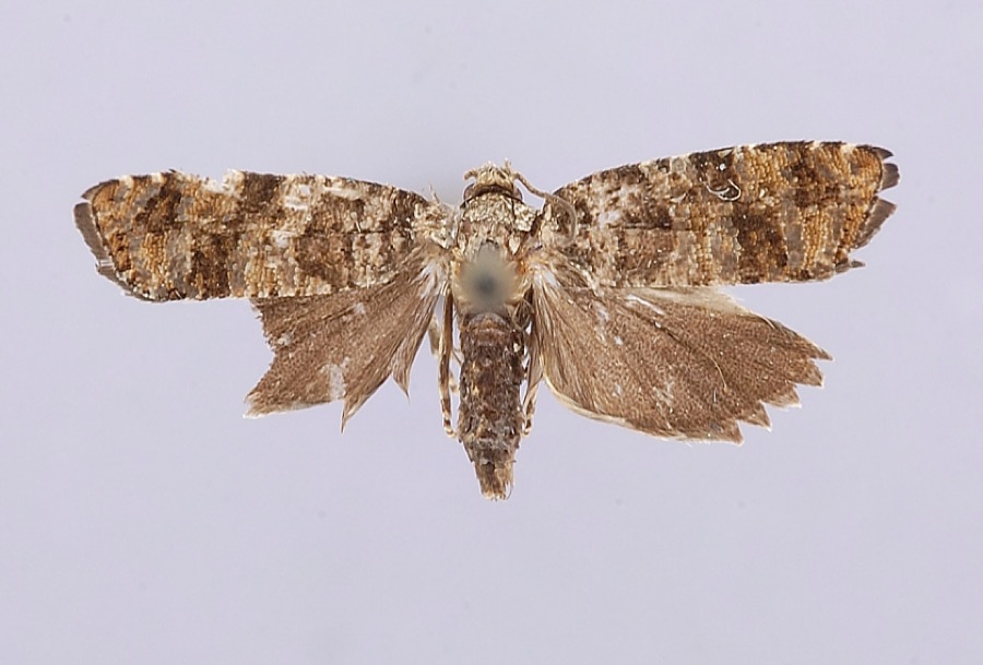 | Petrova houseri Miller, 1959 | 1954 | W. Miller | Veto |
 | Uromyces asclepiadis Cooke | 1902 | W. A. Kellerman | Belpre |
 | Uromyces hedysari-paniculati (Schwein.) Farl. | 1902 | W. A. Kellerman | Belpre |
 | Etheostoma nigrum Rafinesque, 1820 | 1930 | Trautman, M. B. (Milton Bernard) & Foster, R. (Robert) | Wolf Creek tributary, within Wesley township, near Stockport, Wesley township |
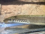 | Lampetra aepyptera (Abbott, 1860) | 1930 | Eggleston, H. K. | South Fork South Branch Wolf Creek, near Deming Rd, ~2.4 miles south of Watertown OH, Barlow township |
 | Rhinichthys atratulus meleagris Agassiz, 1854 | 1930 | Trautman, M. B. (Milton Bernard) & Foster, R. (Robert) | Wolf Creek tributary, within Wesley township, near Stockport, Wesley township |
 | Amphinemura nigritta (Provancher, 1876) | 1941 | W. C. Stehr | Cutler |
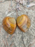 | Ellipsaria lineolata (Rafinesque, 1820) | 1973 | Winters, Robert | Muskingum River in Washington Co. |
 | Hypentelium nigricans (Lesueur, 1817) | 1973 | Trautman, M. B. (Milton Bernard) & Albaugh, D. | Wolf Creek, at jct of South and West Branch, 1 mile E of Waterford OH, Waterford Township |
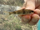 | Moxostoma breviceps (Cope, 1870) | 1973 | Trautman, M. B. (Milton Bernard) & Albaugh, D. | Wolf Creek, at jct of South and West Branch, 1 mile E of Waterford OH, Waterford Township |
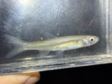 | Notropis atherinoides Rafinesque, 1818 | 1973 | Trautman, M. B. (Milton Bernard) & Albaugh, D. | Wolf Creek, at jct of South and West Branch, 1 mile E of Waterford OH, Waterford Township |
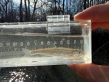 | Notropis photogenis (Cope, 1865) | 1973 | Trautman, M. B. (Milton Bernard) & Albaugh, D. | Wolf Creek, at jct of South and West Branch, 1 mile E of Waterford OH, Waterford Township |
All 171 specimens within 10 miles, at the Global Biodiversity Information Facility.
Storms near this place
5 since 1993Regional context, not property-specific evidence. The National Weather Service names Barlow in 5 storm reports between 1993 and 2019: 5 thunderstorm wind. No death or injury is recorded in these reports. Each account below is quoted exactly as the forecast office filed it, from the NOAA Storm Events Database, and each date opens the federal record of that event.
| When | Event | Place named | Harm | What the report says |
|---|---|---|---|---|
| April 1996 | Thunderstorm Wind | Barlow | $10,000 | no account filed |
| August 2019 | Thunderstorm Wind | Barlow | $7,000 | A barn roof was damaged, and multiple trees were blown down near Vincent. |
| July 1997 | Thunderstorm Wind | Barlow | $5,000 | Trees fell across roads. One tree damaged a parked car in downtown Marietta. |
| November 1993 | Thunderstorm Wind | Barlow | $5,000 | Trees were downed. |
| July 1996 | Thunderstorm Wind | Barlow | $2,000 | no account filed |
Nearest settlements
The eight closest, with where each one stands in the county. Distances are straight-line, computed from the Geographic Names Information System coordinates.
Elsewhere
Matched on this settlement's Geographic Names Information System number rather than its name, so it cannot be a different place of the same name in another state.
| Wikipedia article on Barlow | An encyclopaedic summary. Its text is share-alike, so it is linked here rather than copied. |
| Wikidata item Q808330 | The structured record the population and elevation above come from. Public domain (CC0). |
Provenance
This settlement is recorded in the Geographic Names Information System as feature 1064380. The sheet list is computed by point-in-boundary test against the United States Geological Survey's historical topographic inventory. Both are works of the United States government and carry no copyright under 17 U.S.C. 105.
Wildfire. Short, Karen C. 2022. Spatial wildfire occurrence data for the United States, 1992-2020 [FPA_FOD_20221014]. 6th Edition. Fort Collins, CO: Forest Service Research Data Archive. https://doi.org/10.2737/RDS-2013-0009.6 Collected with United States Government funding and usable without additional permissions or fees.
Specimens. Global Biodiversity Information Facility (GBIF), https://www.gbif.org/. Only records licensed CC0 or CC BY are used. Records licensed CC BY-NC are excluded because this site carries advertising. Images are checked individually and any whose licence is non-commercial, no-derivatives or unreadable is refused.
Storms. NOAA National Centers for Environmental Information, Storm Events Database https://www.ncei.noaa.gov/stormevents/ A work of the United States government, no copyright under 17 U.S.C. 105. Narratives are quoted verbatim from the National Weather Service report and are not edited or summarised.