 Block
Block
Shiloh, Ohio
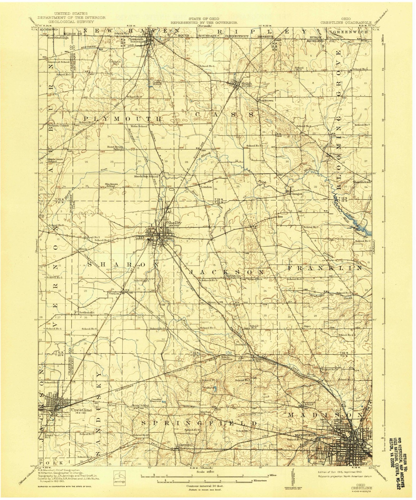
14 topographic sheets cover this place, the earliest surveyed in 1915 and the latest in 1994. It stands in Cass Township. It lies in ZIP code area 44878. The Survey maps it on the Shiloh quadrangle. 619 people lived here at the 2020 count. It stands 1,079 feet above sea level.
Population over time
2 figuresShiloh fell from 649 to 619 between 2010 and 2020. These are the recorded population figures Wikidata holds for this place, reached through the Geographic Names Information System number this page is keyed on rather than by name, so they belong to this place and not to another of the same name. Most are census counts, but not all are: an early figure may be a founding or settlement estimate. The change column is computed, and is left blank where more than 20 years separate a figure from the one before it, because a gap that long is not a change between two counts.
| Year | People | Change |
|---|---|---|
| 2010 | 649 | |
| 2020 | 619 | -30 (-5%) |
Then and now
1915 to 1994The same ground, surveyed 79 years apart. Drag the handle to wipe between them. Both sheets are United States Geological Survey originals; neither has been altered.

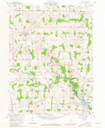
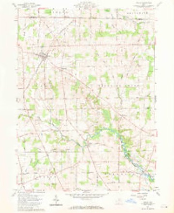
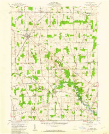
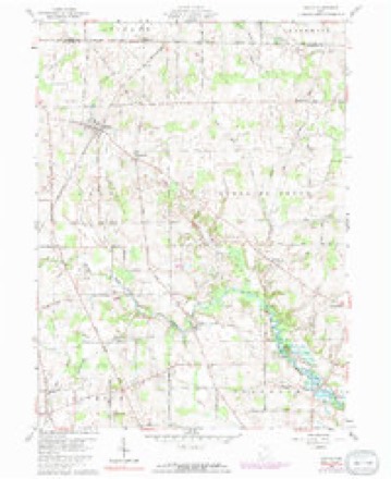
Topographic sheets covering this place
14 sheetsMatched by testing this settlement's coordinate against the published boundary of every sheet in the United States Geological Survey's historical collection. Each opens the scanned sheet at the Survey.
- 1915 USGS Crestline quadrangle1:62500
- 1943 USGS Crestline quadrangle1:62500
- 1943 USGS Crestline quadrangle1:62500
- 1950 USGS Marion quadrangle1:250000
- 1960 USGS Shiloh quadrangle1:24000
- 1960 USGS Shiloh quadrangle1:24000
- 1960 USGS Shiloh quadrangle1:24000
- 1960 USGS Shiloh quadrangle1:24000
- 1962 USGS Marion quadrangle1:250000
- 1966 USGS Marion quadrangle1:250000
- 1966 USGS Marion quadrangle1:250000
- 1966 USGS Marion quadrangle1:250000
- 1986 USGS Mansfield quadrangle1:100000
- 1994 USGS Mansfield quadrangle1:100000







In the county-history sources
7,682 words on this townshipHistory of Richland County, Ohio : (including the Original Boundaries) ; Its Past and Present, Containing a Condensed Comprehensive History of Ohio, Including an Outline History of the Northwest, a Complete History of Richland County ... Miscellaneous Matter, Map of the County, Biographies and Histories of ... the Most Prominent Families, &c., &c., published 1880 names this settlement in its chapter on Cass Township. These are the passages that mention it, exactly as the scans read.
It is generally level, very fertile, and an excellent fruit-growing district. The southern part is well watered by the Black Fork and tributaries, and the northern part by the tributaries of the Hur.)n River, the dividing ridge running near the village of Shiloh.
The first settlement of this township was made near the head-waters of the Black Fork, in 1815, on Sections 13 and 24. John Long, from Knox County, formerly from Penns}'!- vania, settled on the former, and John McCart on the latter. Both families came about the same time, but McCart built the first cabin in the township, and Long the second. Other settlements were rapidly made. Among those who came in that and the year following, may be mentioned John Morris, who settled on Section 4 ; Daniel Cronsales, Section 9 ; Asa 3Iurphy and familj', including a son, Asa, from Virginia, Section 1 : Daniel Prosser, Section 21. Robert Greene came in 1816, from Hampshire County, Va., and [Thomas McBride in 1817, settling on Section 3. The following persons settled near the present site of the village of Shiloh, from 1816 to 1825: Frank Carmichael, Levi Bodle}^, William BodW, Theson Richardson, Cornelius Brink, John and Aaron Pettit, Ephraim Vail, Richard Thew, John and Isaac Murphy, Reason Barnes, Thomas James, Benjamin Young, William Cotton, Peter Hall, John Long, Jr., Thomas Hamilton and James Long. The settlement of this township began after the war of 1812, when there was a good deal of excitement about, and quite a rush for, Ohio lands ; consequenth', it filled up rapidly, a majority of the settlers ]>eing from Western Pennsylvania and Virginia, a few, from New Jersej" and the New England States. The earl}- history of the township is meager. It does not differ from the general history' of other townships in earl}' days, except perhaps it was more quiet, no Indians of consequence being encamped within the limits of the township, except a small band of Wj'andots or Delawares (probably a part of Armstrong's band of Creentown Indians), who had a permanent camp on the head-waters of the Black Fork. The settlers were never molested b}' them. There is the usual supply of bear and deer hunting stories, but none of sufficient importance for preservation. The entire township was heavily timbered with l)eech, oak, sugar, hickory, ash, and all other varieties of hard Avood. It is quite probable that none of the earl}^ settlers found sufficient room to build their cabins without first cutting away the trees and brush. Thus the pioneers hewed out the homes for those who now enjoy them. A few of them 3'et remain, grayhaired and bending with the weight of years, living monuments of days that are fast fading, and can scarcely be comprehended by the generations of to-day.
The Methodists seem to have been the pioneer religious bod}- in this township. About 1816 or 1817, Bennajah Boardman held the first religious services, in the cabin house of John Long, on the site of the village of Planktown, or Richland. He was a missionar}. and continued preaching among the settlers several years before any church was erected. Money to build churches, or for any other purpose, was scarce, and the meetings were held in private houses, barns, and in the open air. In 1828, through the Rev. Boardman's influence, a log church - the first one in the township - was erected on the southeast quarter of Section 1. where a town was laid out which they called Salem, and the church received the name of Salem Church. The settlers came together and built this church b}" their united labors. Its first members were John, Cathai*- ine, Nancy, Betsy and Sarah Long ; Asa Murphy, who was considered a leader in the congregation ; Peter and Annie Maring, John and Hannah Bell. This church was of hewed logs, and about fifty feet long by forty wide, with rude puncheon benches for seats. Following Bennajah Boardman, the ministers were Erastus Felton, the Revs. Chase and Groddard. Adam Poe, a nephew of the famous Indianfighter, also preached here occasionall}-. Boardman was, finall}', the local preacher ; settled here, and died in 1858. The log church was used until 1852, when it was torn down and a frame erected which cost $1,625. When the railroad (Cleveland, Columbus, Cincinnati & Indianapolis) came through the township in 1850, and the town of Shiloh began to gi'ow, the Methodists proposed building a church in that place, and the old one was neglected. It was finally sold, in 1874, to Wesley McLaughlin, for $300, who, in turn, sold it to the Dunkards, by whom it is now occupied. This is the only church in the township outside the towns.
Machine-read from a century-old scan, so expect the errors a machine makes: misspelled names, dropped words, stray characters.
Read the whole chapter on Cass Township - it names this place 14 more 14 times.
Specimens collected near this place
12 of 61 shownRegional context, not property-specific evidence. Museums hold 61 specimens collected within 10 miles of Shiloh between 1869 and 1951: 25 Animalia, 20 Fungi, 16 Plantae. 12 distinct Species records are shown. Collected by Chase, H. (Hazel), Eric G. Chapman, Jennings, O.E. and others. Each is a physical object with a catalogue number, and each entry opens the museum's record. This is what was collected and kept, not a survey of what lives here - nothing can be concluded from a species being absent.
| Image | Species | Year | Collected by | Where, as recorded |
|---|---|---|---|---|
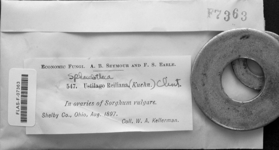 | Sphacelotheca reiliana (J.G.Kühn) G.P.Clinton | 1897 | W. A. Kellerman | |
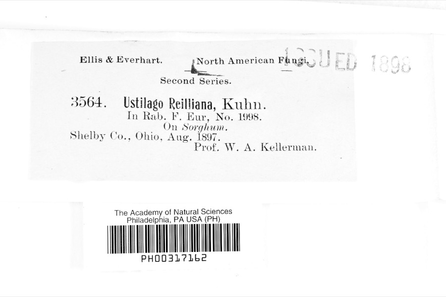 | Ustilago reiliana J.G.Kühn | 1897 | Prof. W. A. Kellerman | |
 | Cypripedium parviflorum Salisb. | 1869 | N. L. Britton | northern Ohio |
 | Helophorus lineatus (Say, 1823) | 1898 | Eric G. Chapman | |
 | Hydrobius fuscipes (Linnaeus, 1758) | 1898 | Eric G. Chapman | |
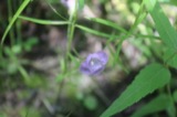 | Agalinis tenuifolia (Vahl) Raf. | 1909 | Jennings, O.E. | 2-3 mi W of Plymouth |
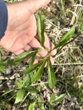 | Arisaema dracontium (L.) Schott | 1909 | Jennings, O.E. | 2-3 mi W of Plymouth |
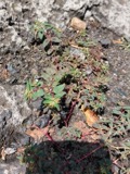 | Euphorbia vermiculata Raf. | 1909 | Jennings, O.E. | 2-3 mi W of Plymouth |
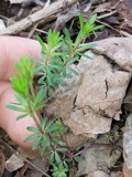 | Galium concinnum Torr. & A.Gray | 1909 | Jennings, O.E. | 2-3 mi W of Plymouth |
 | Lactuca serriola L. | 1909 | Jennings, O.E. | 2-3 mi W of Plymouth |
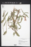 | Polygonum pensylvanicum var. laevigatum Fernald | 1909 | Jennings, O.E. | 2-3 mi W of Plymouth |
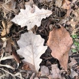 | Quercus bicolor Willd. | 1909 | Jennings, O.E. | 2-3 mi W of Plymouth |
All 61 specimens within 10 miles, at the Global Biodiversity Information Facility.
Storms near this place
19 since 1998Regional context, not property-specific evidence. The National Weather Service names Shiloh in 19 storm reports between 1998 and 2019: 10 hail, 9 thunderstorm wind. No death or injury is recorded in these reports. Each account below is quoted exactly as the forecast office filed it, from the NOAA Storm Events Database, and each date opens the federal record of that event.
| When | Event | Place named | Harm | What the report says |
|---|---|---|---|---|
| May 2017 | Thunderstorm Wind | Shiloh | $40,000 | Thunderstorm downburst winds downed several trees in Shiloh and also knocked down some power lines. At least eight homes lost power during the storm. |
| July 1998 | Thunderstorm Wind | Shiloh | $12,000 | Trees and power lines were downed. |
| May 2006 | Hail | Shiloh | $10,000 | Hail was initially observed in the area as penny size, but over the next few minutes the hail grew to walnut size before the storm passed through the area. |
| July 2011 | Thunderstorm Wind | Shiloh | $5,000 | A large complex of thunderstorms hit the county with estimated wind gusts of 50mph. Structural damage was reported in Mansfield. The nature of the structural damage was not specified in the public report. Large tree branches were downed in the Mansfield area. |
| June 2005 | Thunderstorm Wind | Shiloh | $2,000 | Observed winds by a trained spotter were estimated at 60 mph. |
| July 2001 | Thunderstorm Wind | Shiloh | $2,000 | Thunderstorm winds downed a tree. |
| June 1998 | Thunderstorm Wind | Shiloh | $2,000 | Trees were downed. |
| April 2019 | Hail | Shiloh | - | Quarter sized hail was reported in Shilon near State Route 603. |
| May 2016 | Hail | Shiloh | - | Penny sized hail was observed. |
| August 2011 | Thunderstorm Wind | Shiloh | - | Thunderstorm wind gusts were estimated at 60 mph. |
| June 2008 | Thunderstorm Wind | Shiloh | - | A trained spotter estimated thunderstorm wind gusts to be 60 mph. No damage was immediately observed. |
| May 2007 | Hail | Shiloh | - | Penny size hail was observed. |
| June 2007 | Thunderstorm Wind | Shiloh | - | Trained spotters estimated wind gusts of 60 mph as the thunderstorms moved through the area. |
| July 2006 | Hail | Shiloh | - | Nickel size hail was observed. |
| April 2005 | Hail | Shiloh | - | Penny size hail was observed. |
| July 2003 | Hail | Shiloh | - | Nickel size hail was observed. |
| June 2000 | Hail | Shiloh | - | no account filed |
| June 1998 | Hail | Shiloh | - | no account filed |
| May 1998 | Hail | Shiloh | - | no account filed |
Nearest settlements
The eight closest, with where each one stands in the county. Distances are straight-line, computed from the Geographic Names Information System coordinates.
| Map | Place | Distance | Sheets |
|---|---|---|---|
| Planktown | 1.0 miles | 14 | |
| London | 4.2 miles | 13 | |
| Rome | 4.6 miles | 14 | |
| Forest (historical) | 4.7 miles | 13 | |
| Ganges | 4.7 miles | 14 | |
| Carefree Estates | 5.7 miles | 13 | |
| Shenandoah | 6.6 miles | 15 | |
| Shelby | 6.7 miles | 13 |
Elsewhere
Matched on this settlement's Geographic Names Information System number rather than its name, so it cannot be a different place of the same name in another state.
| Wikipedia article on Shiloh | An encyclopaedic summary. Its text is share-alike, so it is linked here rather than copied. |
| Wikidata item Q3826248 | The structured record the population and elevation above come from. Public domain (CC0). |
Provenance
This settlement is recorded in the Geographic Names Information System as feature 1065318. The sheet list is computed by point-in-boundary test against the United States Geological Survey's historical topographic inventory. Both are works of the United States government and carry no copyright under 17 U.S.C. 105.
Specimens. Global Biodiversity Information Facility (GBIF), https://www.gbif.org/. Only records licensed CC0 or CC BY are used. Records licensed CC BY-NC are excluded because this site carries advertising. Images are checked individually and any whose licence is non-commercial, no-derivatives or unreadable is refused.
Storms. NOAA National Centers for Environmental Information, Storm Events Database https://www.ncei.noaa.gov/stormevents/ A work of the United States government, no copyright under 17 U.S.C. 105. Narratives are quoted verbatim from the National Weather Service report and are not edited or summarised.