 Block
Block
West Newton, Ohio
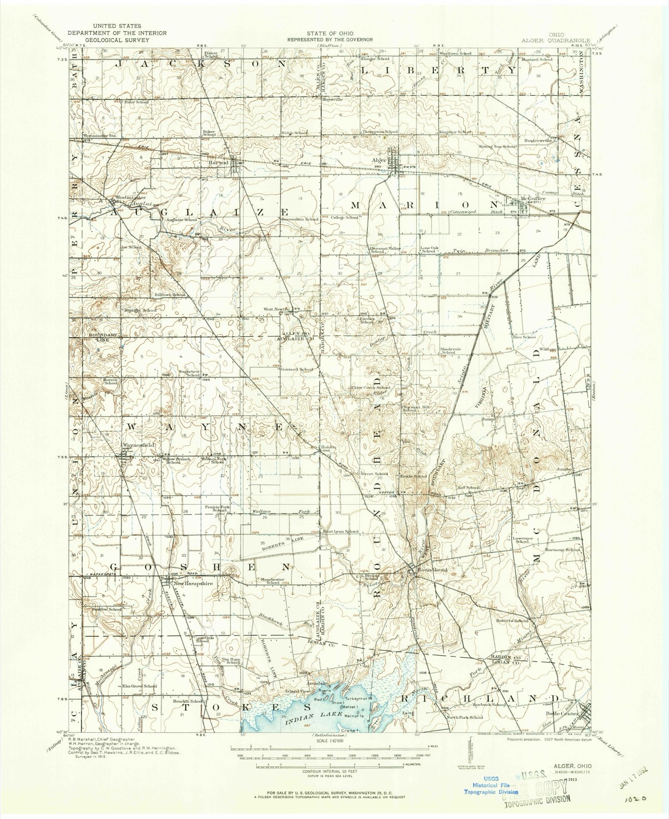
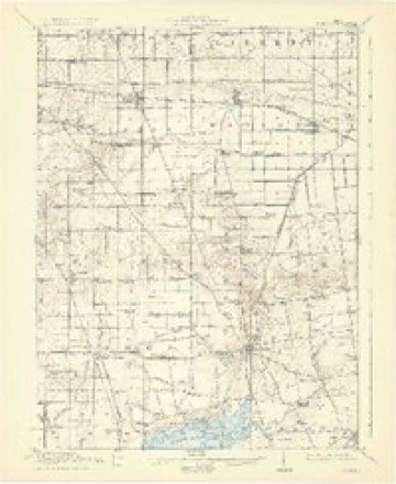
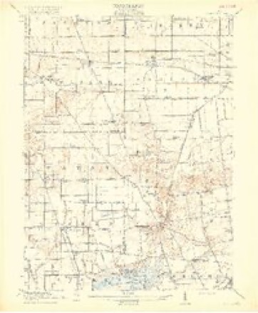
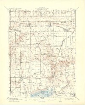
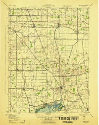
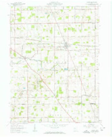
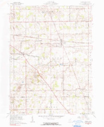
16 topographic sheets cover this place, the earliest surveyed in 1913 and the latest in 1986. It stands in Auglaize Township. It lies in ZIP code area 45850. The Survey maps it on the Harrod quadrangle.
Then and now
1913 to 1986The same ground, surveyed 73 years apart. Drag the handle to wipe between them. Both sheets are United States Geological Survey originals; neither has been altered.

Topographic sheets covering this place
16 sheetsMatched by testing this settlement's coordinate against the published boundary of every sheet in the United States Geological Survey's historical collection. Each opens the scanned sheet at the Survey.
- 1913 USGS Alger quadrangle1:62500
- 1913 USGS Alger quadrangle1:48000
- 1915 USGS Alger quadrangle1:62500
- 1915 USGS Alger quadrangle1:62500
- 1915 USGS Alger quadrangle1:62500
- 1915 USGS Alger quadrangle1:62500
- 1943 USGS Alger quadrangle1:62500
- 1950 USGS Marion quadrangle1:250000
- 1961 USGS Harrod quadrangle1:24000
- 1961 USGS Harrod quadrangle1:24000
- 1962 USGS Marion quadrangle1:250000
- 1966 USGS Marion quadrangle1:250000
- 1966 USGS Marion quadrangle1:250000
- 1966 USGS Marion quadrangle1:250000
- 1986 USGS Marion quadrangle1:100000
- 1986 USGS Marion quadrangle1:100000







In the county-history sources
5,254 words on this townshipHistory of Allen County, Ohio. Containing a History of the County, Its Townships, Towns, Villages, Schools, Churches, Industries, Etc; Portraits of Early Settlers and Prominent Men; Biographies; History of the Northwest Territory; History of Ohio; Statistical and Miscellaneous Matter, Etc., Etc, published 1885 names this settlement in its chapter on Auglaize Township. These are the passages that mention it, exactly as the scans read.
J. M. HABBOD, farmer, P. O. Harrod, was born in Auglaize Township, this county, March 7, 1852. His father, William Harrod, was bom in Enox County, Ohio, October 4, 1819; his mother, whose maiden name was Mary Copeland, was a native of Ghreene County, Ohio. Becords show them to be of Pennsylvania stock, and the family were early pioneers of Knox County. William Harrod settled on the land he now occupies in 1841, at which time he took up 160 acres. The farm now embraces 440 acres. After paying taxes on his land, Mr. Harrod had but 13 left, but with health and ambition, he began his work in the woods, and his labors have been crowned with success. He and his wife were parents of six children: J. W., Bebecca, Albert, Laura, Louis B. and Dora B. The subject of this sketch settled on his present farm, consisting of 120 acres in 1879. He has made excellent improvments, and has taken an active part in building up Harrod, and improving the place. Mr. Harrod was married in Jackson Township, this county, in 1879, to Miss Hannah C. Leatherman, a native of this county. He has held various offices of trust ill the township.
Passage source: History of Allen County, Ohio. Containing a History of the County, Its Townships, Towns, Villages, Schools, Churches, Industries, Etc; Portraits of Early Settlers and Prominent Men; Biographies; History of the Northwest Territory; History of Ohio; Statistical and Miscellaneous Matter, Etc., Etc, published 1885.
r I IJllS iownsbip forming the southwest corner of the coanty north of JL the line of Auglaize County, west of the line of Hardin County, and south and east of Jackson and Perry Townships, was established by order of tl^e Commissioners of Allen County, March 5, 1832. In December of that year the township of Scioto was disestablished and attached to Auglaize Township for judicial purposes. Until the establishment of Perry Township in December, 1833, the twelve eastern sections of that township formed a portion of Auglaize Township. Since that time what is known as original Township 4 south, Range 8 east, constitutes this division of the county. The villagee known as Westminster, West Newton and South Maysville belong to Auglaize Township. The population in 1880 was 1,749. The increase since 1880, based on school statistics of 1884, which give an enumeration of 264 boys and 241 girls, an aggregate school population of 505, is not remarkable.
Passage source: History of Allen County, Ohio. Containing a History of the County, Its Townships, Towns, Villages, Schools, Churches, Industries, Etc; Portraits of Early Settlers and Prominent Men; Biographies; History of the Northwest Territory; History of Ohio; Statistical and Miscellaneous Matter, Etc., Etc, published 1885.
Machine-read from a century-old scan, so expect the errors a machine makes: misspelled names, dropped words, stray characters.
Read the whole chapter on Auglaize Township - it names this place 2 more 2 times.
Specimens collected near this place
12 of 176 shownRegional context, not property-specific evidence. Museums hold 176 specimens collected within 10 miles of West Newton between 1929 and 1961: 175 Animalia, 1 Plantae. 12 distinct Species records are shown. Collected by C. Clark, Clark, C. F. (Clarence F.), Franks, R. W. (Roscoe W.) and others. Each is a physical object with a catalogue number, and each entry opens the museum's record. This is what was collected and kept, not a survey of what lives here - nothing can be concluded from a species being absent.
| Image | Species | Year | Collected by | Where, as recorded |
|---|---|---|---|---|
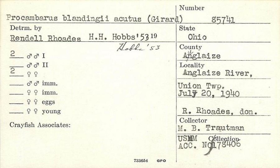 | Procambarus blandingii (Harlan, 1830) | 1940 | R. Rhoades | Auglaize River, Union Township |
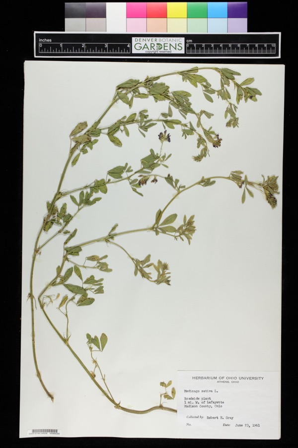 | Medicago sativa L. | 1961 | Robert H. Gray | 1 mile west of Lafayette. |
 | Ambystoma maculatum (Shaw, 1802) | 1929 | Franks, R. W. (Roscoe W.) | 1 1/2 mi S of Harrod, Allen Co., Ohio |
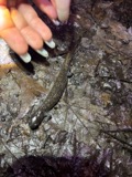 | Ambystoma texanum (Matthes, 1855) | 1929 | Franks, R. W. (Roscoe W.) | 1 1/2 mi S of Harrod, Allen Co., Ohio |
 | Campostoma anomalum anomalum | 1929 | Trautman, M. B. (Milton Bernard) | Auglaize River, at Westminster, ~4.1 mi W of Harrod, Auglaize township |
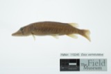 | Esox vermiculatus Lesueur, 1846 | 1929 | Trautman, M. B. (Milton Bernard) | Auglaize River, at Westminster, ~4.1 mi W of Harrod, Auglaize township |
 | Lepomis cyanellus Rafinesque, 1819 | 1929 | Trautman, M. B. (Milton Bernard) | Auglaize River, at Westminster, ~4.1 mi W of Harrod, Auglaize township |
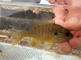 | Lepomis megalotis (Rafinesque, 1820) | 1929 | Trautman, M. B. (Milton Bernard) | Auglaize River, at Westminster, near Harrod, Auglaize township |
 | Acris crepitans Baird, 1854 | 1930 | Walker, C. F. (Charles F.) & Trautman, M. B. (Milton Bernard) | NE Perry Twp., Allen Co., Ohio |
 | Ambloplites rupestris (Rafinesque, 1817) | 1930 | Trautman, M. B. (Milton Bernard) & Foster, R. (Robert) | Ottawa River, within central Jackson township, near Lafayette, Jackson township |
| Ambystoma tigrinum (Green, 1825) | 1930 | Walker, C. F. (Charles F.) | NE Perry Twp., Allen Co., Ohio | |
 | Etheostoma nigrum Rafinesque, 1820 | 1930 | Trautman, M. B. (Milton Bernard) & Foster, R. (Robert) | Ottawa River, within central Jackson township, near Lafayette, Jackson township |
All 176 specimens within 10 miles, at the Global Biodiversity Information Facility.
Storms near this place
1 since 2011Regional context, not property-specific evidence. The National Weather Service names West Newton in 1 storm report between 2011 and 2011: 1 flash flood. No death or injury is recorded in these reports. Each account below is quoted exactly as the forecast office filed it, from the NOAA Storm Events Database, and each date opens the federal record of that event.
| When | Event | Place named | Harm | What the report says |
|---|---|---|---|---|
| May 2011 | Flash Flood | West Newton | - | Law enforcement officials reported Lafayette Road, between Pevee Road and Bentley Road, closed due to flooding. One home on Pevee Road was reported to have flooding. Surrounding areas also reported water on roadways. |
Nearest settlements
The eight closest, with where each one stands in the county. Distances are straight-line, computed from the Geographic Names Information System coordinates.
| Map | Place | Distance | Sheets |
|---|---|---|---|
| Harrod | 3.9 miles | 16 | |
| Westminster | 5.4 miles | 16 | |
| Maysville | 5.5 miles | 16 | |
| South Warsaw | 7.4 miles | 15 | |
| Lafayette | 7.9 miles | 13 | |
| Eastwood Estates | 9.2 miles | 15 | |
| Yoder | 9.7 miles | 15 | |
| Rousculp | 10.2 miles | 15 |
Provenance
This settlement is recorded in the Geographic Names Information System as feature 1047785. The sheet list is computed by point-in-boundary test against the United States Geological Survey's historical topographic inventory. Both are works of the United States government and carry no copyright under 17 U.S.C. 105.
Specimens. Global Biodiversity Information Facility (GBIF), https://www.gbif.org/. Only records licensed CC0 or CC BY are used. Records licensed CC BY-NC are excluded because this site carries advertising. Images are checked individually and any whose licence is non-commercial, no-derivatives or unreadable is refused.
Storms. NOAA National Centers for Environmental Information, Storm Events Database https://www.ncei.noaa.gov/stormevents/ A work of the United States government, no copyright under 17 U.S.C. 105. Narratives are quoted verbatim from the National Weather Service report and are not edited or summarised.