 Block
Block
Hopkinton, Massachusetts
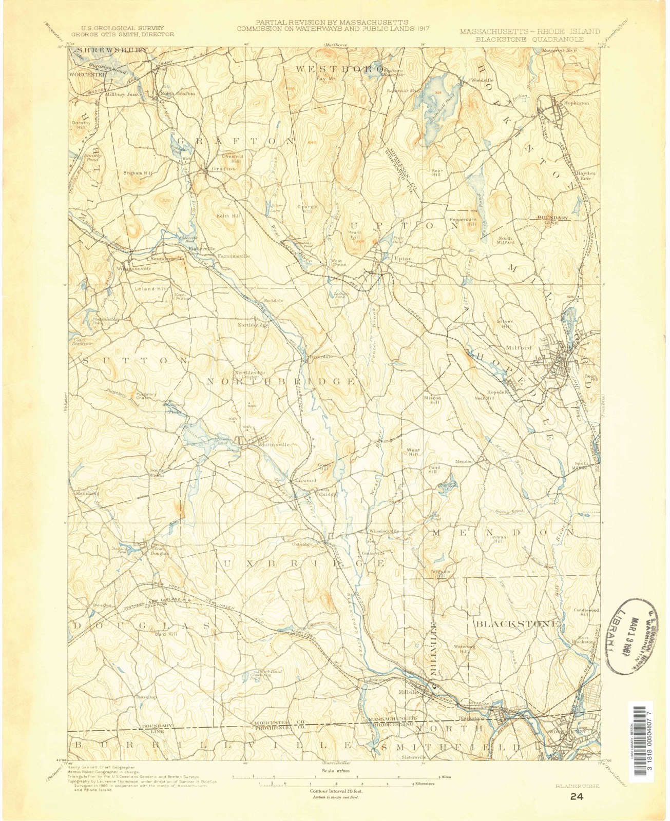
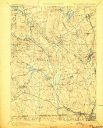
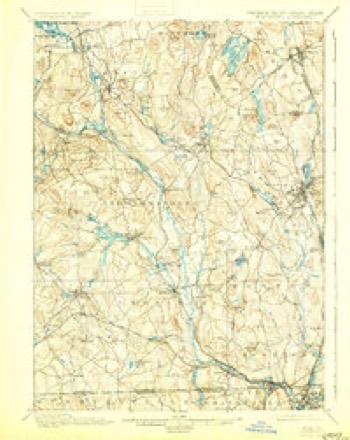
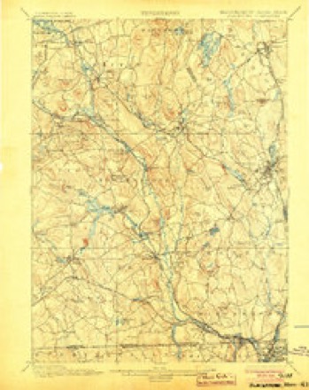
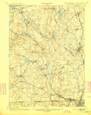
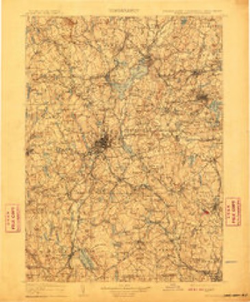
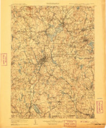
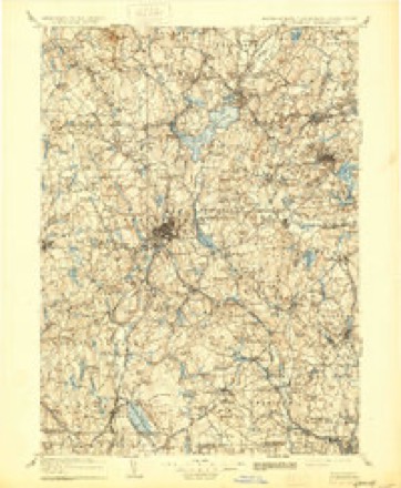
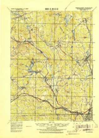
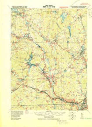
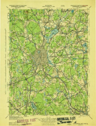
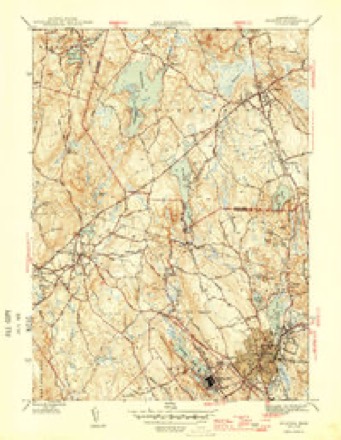
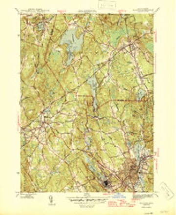
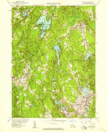
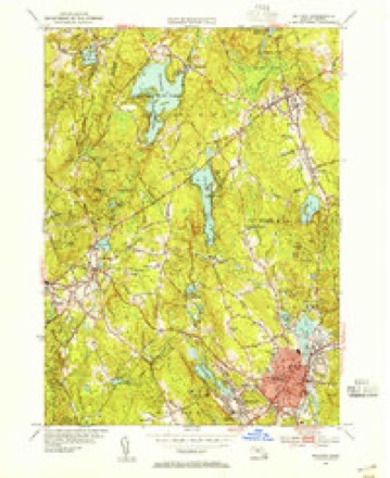
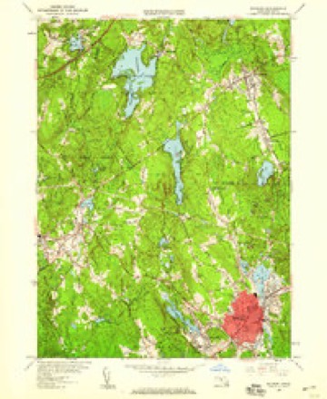
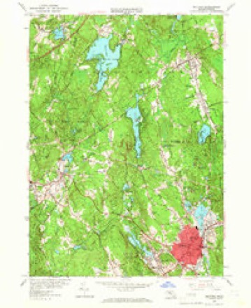
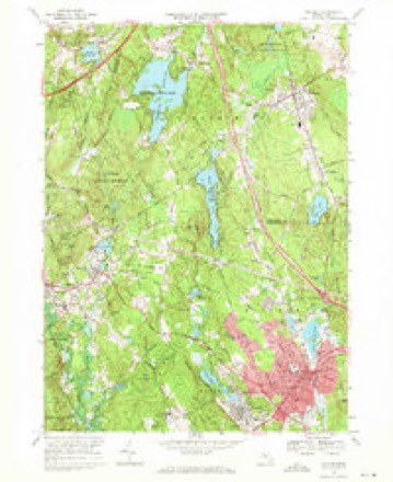
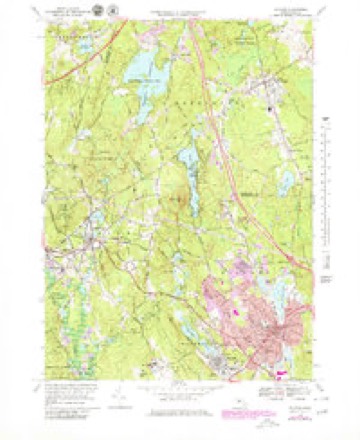
42 topographic sheets cover this place, the earliest surveyed in 1886 and the latest in 1989. It stands in Hopkinton town. It lies in ZIP code area 01748. It stands on Honey Hill. The Survey maps it on the Milford quadrangle.
Then and now
1886 to 1989The same ground, surveyed 103 years apart. Drag the handle to wipe between them. Both sheets are United States Geological Survey originals; neither has been altered.

Topographic sheets covering this place
42 sheetsMatched by testing this settlement's coordinate against the published boundary of every sheet in the United States Geological Survey's historical collection. Each opens the scanned sheet at the Survey.
- 1886 USGS Blackstone quadrangle1:62500
- 1889 USGS Blackstone quadrangle1:62500
- 1893 USGS Blackstone quadrangle1:62500
- 1893 USGS Blackstone quadrangle1:62500
- 1900 USGS Blackstone quadrangle1:62500
- 1900 USGS Blackstone quadrangle1:62500
- 1900 USGS Blackstone quadrangle1:62500
- 1900 USGS Blackstone quadrangle1:62500
- 1900 USGS Blackstone quadrangle1:62500
- 1900 USGS Blackstone quadrangle1:62500
- 1900 USGS Blackstone quadrangle1:62500
- 1908 USGS Quinsigamond quadrangle1:125000
- 1908 USGS Quinsigamond quadrangle1:125000
- 1908 USGS Quinsigamond quadrangle1:125000
- 1919 USGS Blackstone quadrangle1:62500
- 1919 USGS Blackstone quadrangle1:62500
- 1943 USGS Quinsigamond quadrangle1:125000
- 1946 USGS Milford quadrangle1:31680
- 1946 USGS Milford quadrangle1:31680
- 1948 USGS Boston quadrangle1:250000
- 1948 USGS Boston quadrangle1:250000
- 1953 USGS Milford quadrangle1:24000
- 1953 USGS Milford quadrangle1:31680
- 1953 USGS Milford quadrangle1:24000
- 1953 USGS Milford quadrangle1:24000
- 1956 USGS Boston quadrangle1:250000
- 1956 USGS Boston quadrangle1:250000
- 1956 USGS Boston quadrangle1:250000
- 1956 USGS Boston quadrangle1:250000
- 1956 USGS Boston quadrangle1:250000
- 1956 USGS Boston quadrangle1:250000
- 1958 USGS Boston quadrangle1:250000
- 1958 USGS Boston quadrangle1:250000
- 1961 USGS Boston quadrangle1:250000
- 1961 USGS Boston quadrangle1:250000
- 1968 USGS Milford quadrangle1:24000
- 1968 USGS Milford quadrangle1:25000
- 1977 USGS Milford quadrangle1:25000
- 1982 USGS Milford quadrangle1:25000
- 1985 USGS Boston quadrangle1:100000
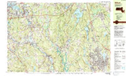
- 1989 USGS Boston quadrangle1:100000
- 1989 USGS Boston quadrangle1:100000















In the county-history sources
9,274 words on this townshipHistory of Middlesex County, Massachusetts, with Biographical Sketches of Many of Its Pioneers and Prominent Men, published 1890 names this settlement in its chapter on Hopkinton Town. These are the passages that mention it, exactly as the scans read.
Hopkinton furnished four hundred and twenty-five men for the w.ar, which was a surplus of sixteen over and above all demands ; three were commissioned officers. The total amount of money appropriated and expended by the town on account of the war exclusive of State aid was thirty thousand dollars ($30,- 000.00).
Passage source: History of Middlesex County, Massachusetts, with Biographical Sketches of Many of Its Pioneers and Prominent Men, published 1890.
Catholicity in Hopkinton.' - Time rolls his restless course ; the changing years flit on, and, one by one, unbidden to-morrows burst forth to-days only to lose themselves again in the yesterdays of the sombre, silent past. Life is one continual change, and to none can this be more evident than to him who will carefully pause and reflect on the wonderful transformations that have been eftected during the past forty years, since the inauguration of the Parish of Hopkinton. Who, in those early days would have presumed to predict so glorious a future for this little hamlet? Who then dared hope that the day would ever come when the Catholics of Hopkinton could claim the proud distinction of having erected to the honor and glory of God the grandest edifice within the confines of New England. Truly it seems the finger of God had pointed out the way for His devoted children, and strengthened their hearts in the hour of darkness against the attacks of a bigoted and unrelenting world. But few of the early settlers survive to tell the story of the suflerings and privations undergone in the cause of Christ when the faithful were forced to travel many weary miles over almost impassable roads to receive the consolations of our holy religion. As early as 1846 the Parish of Milford was formed, which included the present parishes of Hopkinton, Medway, HoUiston, Ashland, Upton, Marlboro', Maynard, Rock Bottom, Westboro', Cordaville and Saxonville. Rev. Father Boyce of Worcester was appointed fir.st pastor, assisted by Rev. Father Gibson, by whom regular monthly services were instituted in the surrounding towns ; the priest being obliged to travel from place to place, oftentimes exposed to the inclemency of the weather, to care for the wants of his devoted flock. Previous to this time the Catholics of Hopkinton attended Mass at the homes of Dominic McDevitt and Edward Mc- Govern, both of Milford ; but upon the arrival of Father Boyce as pastor of Milford, services were held at the residence of John McDonough, who sympathized with !ind materially aided these early pioneers in their unswerving fidelity to their holy cause. Still they remained unsatisfied and longed for a church wherein they might worship God according to the dictates of conscience. The faith of Saints Patrick and Columba glowed in their hearts ; nor could they rest until they had a place wherein a priest might dwell and preach the word of God. With this object in view, a meeting was called in November, 1849, by John Wilson, a Protestant, at his home on Mt. Auburn Street, where were assembled all the Catholic men, twenty-two in number, from the outlying districts - very few then resided in the town proper. What transpired at that meeting is best told in the words of Michael Raferty, an eyewitness, and the oldest Catholic resident living : " I have attended many meetings, both political and re- ligious, but never have I witnessed such enthusiasm displayed as at that first meeting of the Catholics of Hopkinton, and to John Wilson must be given the honor of being the first to propose the establishment of a Catholic Church in our town. His actions on that occasion were something not soon to be forgotten, and his generosity is worthy of record. Seven hundred dollars were subscribed in a few moments, and we voted to build a House of Prayer."
Passage source: History of Middlesex County, Massachusetts, with Biographical Sketches of Many of Its Pioneers and Prominent Men, published 1890.
Despite his manifold duties and the countless sacrifices incident to so great an undertaking, Father Farrilly determined to build a Church, and early in 1851 the contract was awarded to Artemus Johnson, of Holliston, for the erection of a wooden church, sixty by forty feet, known as St. Malachi's. Two years later an addition was made, and here the Catholics of Hopkinton knelt 'neath the shadowing protection of the cross of Christ and heard the Word of God.
Passage source: History of Middlesex County, Massachusetts, with Biographical Sketches of Many of Its Pioneers and Prominent Men, published 1890.
Machine-read from a century-old scan, so expect the errors a machine makes: misspelled names, dropped words, stray characters.
Read the whole chapter on Hopkinton Town - it names this place 24 more 24 times.
Fires near this place
122 since 2015Regional context, not property-specific evidence. The federal wildfire occurrence database lists 122 fires within 5 miles of Hopkinton between 2015 and 2020, burning about 204 acres in total. None started naturally. 39 were recorded as arson. Distance is straight-line from the map coordinates, so a fire counted here may appear on a neighbouring settlement's page as well.
| Reported cause | Fires |
|---|---|
| Arson/incendiarism | 39 |
| Debris and open burning | 34 |
| Missing data/not specified/undetermined | 23 |
| Recreation and ceremony | 14 |
| Misuse of fire by a minor | 3 |
| Equipment and vehicle use | 3 |
| Smoking | 3 |
| Power generation/transmission/distribution | 1 |
| Fireworks | 1 |
| Other causes | 1 |
The most recent of them, most recent first, with the day each was reported and the service that recorded it.
| Date | Cause | Size | Reported by | Name on the report |
|---|---|---|---|---|
| 8 September 2020 | Recreation and ceremony | under an acre | Massachusetts Bureau of Forest Fire Control | not named |
| 7 September 2020 | Recreation and ceremony | under an acre | Massachusetts Bureau of Forest Fire Control | not named |
| 6 September 2019 | Recreation and ceremony | under an acre | Massachusetts Bureau of Forest Fire Control | not named |
| 5 September 2018 | Recreation and ceremony | under an acre | Massachusetts Bureau of Forest Fire Control | not named |
| 29 September 2018 | Smoking | under an acre | Massachusetts Bureau of Forest Fire Control | not named |
| 25 September 2020 | Debris and open burning | under an acre | Massachusetts Bureau of Forest Fire Control | not named |
| 24 September 2019 | Power generation/transmission/distribution | under an acre | Massachusetts Bureau of Forest Fire Control | not named |
| 21 September 2020 | Debris and open burning | under an acre | Massachusetts Bureau of Forest Fire Control | not named |
Settlements close enough to share some of these fires:
Specimens collected near this place
12 of 607 shownRegional context, not property-specific evidence. Museums hold 607 specimens collected within 10 miles of Hopkinton between 1898 and 1975: 480 Animalia, 113 Plantae, 14 Fungi. 12 distinct Species records are shown. Collected by A. Strong, Altpeter, Arthur French and others. Each is a physical object with a catalogue number, and each entry opens the museum's record. This is what was collected and kept, not a survey of what lives here - nothing can be concluded from a species being absent.
| Image | Species | Year | Collected by | Where, as recorded |
|---|---|---|---|---|
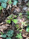 | Actaea pachypoda Elliott | 1898 | Ernest Charles Smith | |
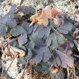 | Aquilegia canadensis L. | 1898 | M. I. Gunn | Natick |
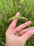 | Bromus ciliatus L. | 1898 | Ernest Charles Smith | Framingham. |
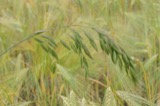 | Bromus secalinus L. | 1898 | Arthur French | Framingham. |
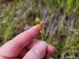 | Carex brevior (Dewey) Mack. ex Lunell | 1898 | Ernest Charles Smith | Framingham. |
 | Carex laxiflora Lam. | 1898 | Ernest Charles Smith | Framingham. |
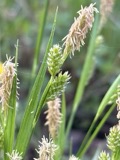 | Carex pallescens L. | 1898 | Ernest Charles Smith | Framingham. |
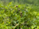 | Carex straminea Willd. ex Schkuhr | 1898 | Ernest Charles Smith | Framingham. |
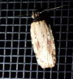 | Agonopterix atrodorsella Clemens, 1863 | 1900 | E. J. Smith | Sherborn |
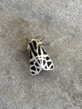 | Apantesis Walker, 1855 | 1900 | E. J. Smith | Sherborn |
 | Apatelodes torrefacta J.E.Smith, 1797 | 1900 | E. J. Smith | Sherborn |
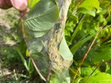 | Archips cerasivorana (Fitch, 1856) | 1900 | E. J. Smith | Sherborn |
All 607 specimens within 10 miles, at the Global Biodiversity Information Facility.
Mines and quarries near this place
10 of 21 shownRegional context, not property-specific evidence. The federal mineral resources record lists 21 workings within 5 miles of Hopkinton: 16 past producers, 3 producers, 1 unknown, 1 plant. 4 still produce. What was taken out: Sand and Gravel, Construction, Granite, Stone, Crushed/Broken. Distance is straight-line from the map coordinates, so a quarry counted here may appear on a neighbouring settlement's page as well.
| Where | Site | Commodity | Status | Recorded |
|---|---|---|---|---|
| Ashland Quarry | Stone, Crushed/Broken | Producer | ||
| Barretto Granite Co | Granite | Past Producer | Granite | |
| Castellucci and Sons | Granite | Past Producer | Granite | |
| H E Fletcher | Granite | Past Producer | Granite | |
| Milford Pink Granite Quarry | Granite | Past Producer | ||
| Milford Quarry | Granite | Producer | ||
| Trimount Bituminous Prod | Granite | Past Producer | Granite | |
| Ashland Plant | Sand and Gravel, Construction | Plant | ||
| Ashland Plant | Sand and Gravel, Construction | Past Producer | ||
| Ashland Sand and Gravel Co | Sand and Gravel, Construction | Past Producer | Sedimentary |
Storms near this place
17 since 1995Regional context, not property-specific evidence. The National Weather Service names Hopkinton in 17 storm reports between 1995 and 2021: 11 thunderstorm wind, 4 hail, 1 heavy rain, 1 flood. No death or injury is recorded in these reports. Each account below is quoted exactly as the forecast office filed it, from the NOAA Storm Events Database, and each date opens the federal record of that event.
| When | Event | Place named | Harm | What the report says |
|---|---|---|---|---|
| July 2009 | Thunderstorm Wind | Hopkinton | $20,000 | Trees in the area around the Saddle Hill Country Club were downed by a microburst. |
| July 2021 | Thunderstorm Wind | Hopkinton | $8,000 | In Hopkinton, trees and wires were down on North Mill Street. Also, a tree was down onto a tractor-trailer on Lumber Street. |
| February 2016 | Thunderstorm Wind | Hopkinton | $5,000 | A tree and branches in Hopkinton were downed by thunderstorm winds. |
| August 2008 | Thunderstorm Wind | Hopkinton | $5,000 | Trees on West Elm Street were downed by thunderstorm winds. |
| August 2003 | Thunderstorm Wind | Hopkinton | $5,000 | no account filed |
| July 2019 | Thunderstorm Wind | Hopkinton | $2,500 | In Hopkinton, trees were reported down on Clinton Street and on Cross Street. Wires were blown down onto West Main Street. |
| June 2021 | Thunderstorm Wind | Hopkinton | $1,500 | In Hopkinton, trees were down on Hayden Rowe, Eastview Road, and Kerry Lane. |
| April 2018 | Flood | Hopkinton | - | At 3:40 PM EST, an amateur radio operator reported sections of Wood Street in Hopkinton were flooded and impassable. |
| July 2009 | Hail | Hopkinton | - | Penny to golf ball size hail fell in Hopkinton. So much hail fell that two hours after the storm moved out of the area, hail was still piled three inches deep in numerous locations. |
| July 2007 | Hail | Hopkinton | - | Nickel size hail lasted 5 minutes from 400 to 405 pm and covered the ground. |
| May 2009 | Hail | Hopkinton | - | no account filed |
| June 2008 | Hail | Hopkinton | - | no account filed |
| August 2001 | Thunderstorm Wind | Hopkinton | - | no account filed |
| September 1998 | Heavy Rain | Hopkinton | - | no account filed |
| July 1998 | Thunderstorm Wind | Hopkinton | - | no account filed |
| May 1998 | Thunderstorm Wind | Hopkinton | - | no account filed |
| July 1995 | Thunderstorm Wind | Hopkinton | - | no account filed |
Nearest settlements
The eight closest, with where each one stands in the county. Distances are straight-line, computed from the Geographic Names Information System coordinates.
| Map | Place | Distance | Sheets |
|---|---|---|---|
| Hayden Row | 1.8 miles | 42 | |
| Woodville | 2.2 miles | 42 | |
| Camp Bob White | 2.9 miles | 41 | |
| Ashland | 3.9 miles | 40 | |
| Workmans Circle Camp | 4.8 miles | 41 | |
| Braggville | 4.8 miles | 41 | |
| Gooch Corners | 5.1 miles | 41 | |
| Metcalf | 5.1 miles | 41 |
Provenance
This settlement is recorded in the Geographic Names Information System as feature 611347. The sheet list is computed by point-in-boundary test against the United States Geological Survey's historical topographic inventory. Both are works of the United States government and carry no copyright under 17 U.S.C. 105.
Wildfire. Short, Karen C. 2022. Spatial wildfire occurrence data for the United States, 1992-2020 [FPA_FOD_20221014]. 6th Edition. Fort Collins, CO: Forest Service Research Data Archive. https://doi.org/10.2737/RDS-2013-0009.6 Collected with United States Government funding and usable without additional permissions or fees.
Specimens. Global Biodiversity Information Facility (GBIF), https://www.gbif.org/. Only records licensed CC0 or CC BY are used. Records licensed CC BY-NC are excluded because this site carries advertising. Images are checked individually and any whose licence is non-commercial, no-derivatives or unreadable is refused.
Mines and quarries. USGS Mineral Resources Data System (MRDS) https://mrdata.usgs.gov/mrds/ A work of the United States government, no copyright under 17 U.S.C. 105.
Storms. NOAA National Centers for Environmental Information, Storm Events Database https://www.ncei.noaa.gov/stormevents/ A work of the United States government, no copyright under 17 U.S.C. 105. Narratives are quoted verbatim from the National Weather Service report and are not edited or summarised.