 Block
Block
Ashland, Massachusetts
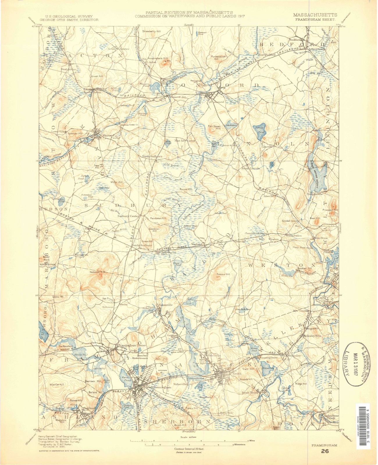
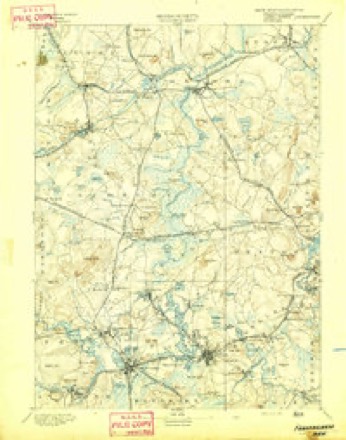
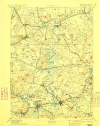
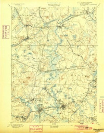
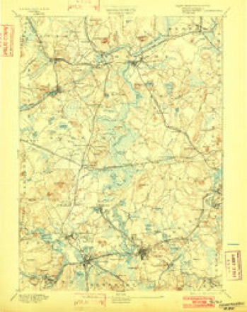
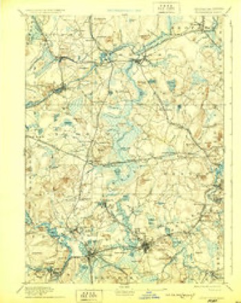
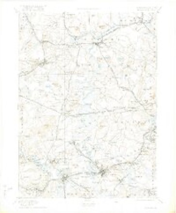
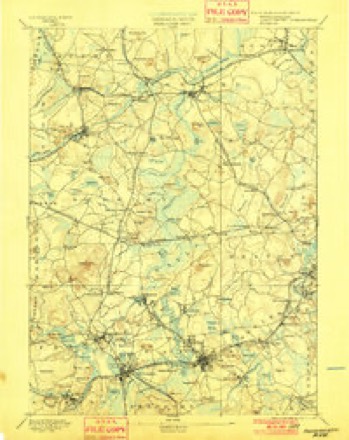
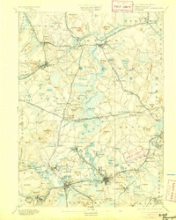
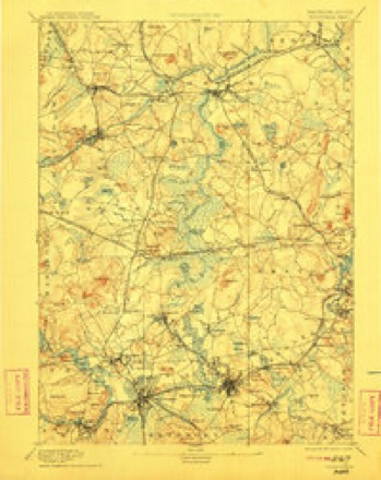
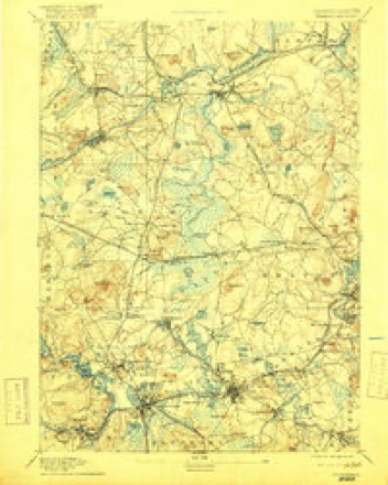
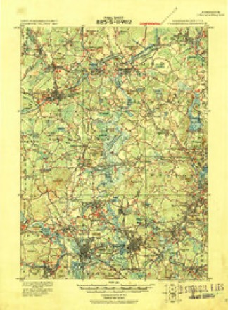
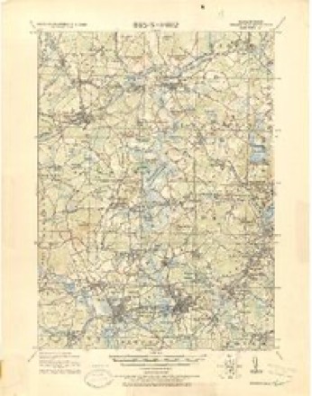
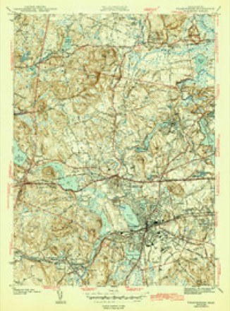
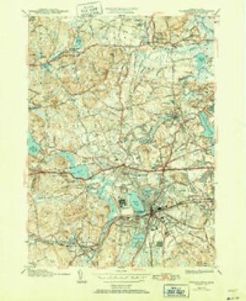
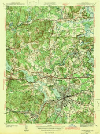
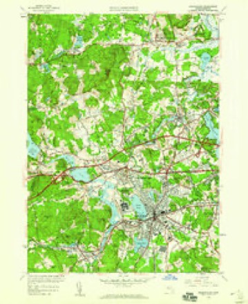
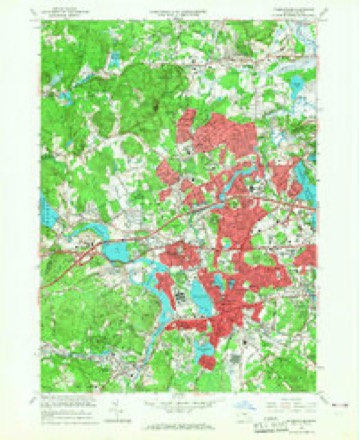
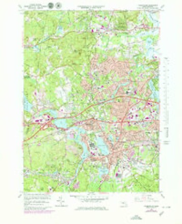
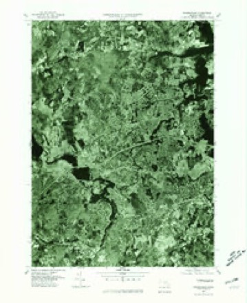
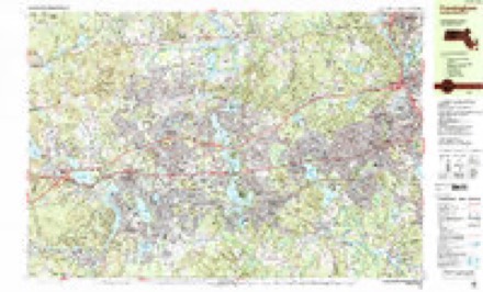
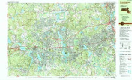
40 topographic sheets cover this place, the earliest surveyed in 1886 and the latest in 1989. It stands in Ashland town. It lies in ZIP code area 01721. It stands on Fish Hill. The Survey maps it on the Framingham quadrangle.
Then and now
1886 to 1989The same ground, surveyed 103 years apart. Drag the handle to wipe between them. Both sheets are United States Geological Survey originals; neither has been altered.

Topographic sheets covering this place
40 sheetsMatched by testing this settlement's coordinate against the published boundary of every sheet in the United States Geological Survey's historical collection. Each opens the scanned sheet at the Survey.
- 1886 USGS Framingham quadrangle1:62500
- 1889 USGS Framingham quadrangle1:62500
- 1894 USGS Framingham quadrangle1:62500
- 1894 USGS Framingham quadrangle1:62500
- 1894 USGS Framingham quadrangle1:62500
- 1894 USGS Framingham quadrangle1:62500
- 1894 USGS Framingham quadrangle1:62500
- 1894 USGS Framingham quadrangle1:62500
- 1894 USGS Framingham quadrangle1:62500
- 1894 USGS Framingham quadrangle1:62500
- 1894 USGS Framingham quadrangle1:62500
- 1894 USGS Framingham quadrangle1:62500
- 1894 USGS Framingham quadrangle1:62500
- 1918 USGS Framingham quadrangle1:62500
- 1918 USGS Framingham quadrangle1:62500
- 1943 USGS Boston quadrangle1:125000
- 1943 USGS Framingham quadrangle1:31680
- 1943 USGS Framingham quadrangle1:31680
- 1943 USGS Framingham quadrangle1:31680
- 1948 USGS Boston quadrangle1:250000
- 1948 USGS Boston quadrangle1:250000
- 1950 USGS Framingham quadrangle1:24000
- 1956 USGS Boston quadrangle1:250000
- 1956 USGS Boston quadrangle1:250000
- 1956 USGS Boston quadrangle1:250000
- 1956 USGS Boston quadrangle1:250000
- 1956 USGS Boston quadrangle1:250000
- 1956 USGS Boston quadrangle1:250000
- 1958 USGS Boston quadrangle1:250000
- 1958 USGS Boston quadrangle1:250000
- 1961 USGS Boston quadrangle1:250000
- 1961 USGS Boston quadrangle1:250000
- 1965 USGS Framingham quadrangle1:24000
- 1965 USGS Framingham quadrangle1:25000
- 1977 USGS Framingham quadrangle1:25000
- 1985 USGS Boston quadrangle1:100000
- 1987 USGS Framingham quadrangle1:25000
- 1987 USGS Framingham quadrangle1:25000
- 1989 USGS Boston quadrangle1:100000
- 1989 USGS Boston quadrangle1:100000
















In the county-history sources
35,161 words on this townshipHistory of Middlesex County, Massachusetts, with Biographical Sketches of Many of Its Pioneers and Prominent Men, published 1890 names this settlement in its chapter on Ashland Town. These are the passages that mention it, exactly as the scans read.
The Surface. - The town of Ashland is situated in the southwesterly part of Middlesex County, and is bounded northeast by Framingham, east by Sherborn, south by Holliston, southwest and west by Hopkinton, and northwest by Southborough. Its measurement from east to west is four miles, from north to south three miles, and it contains twelve and fiveeighths square miles. Its population in 1885 was 2633, and its latest valuation (1889), was $1,300,901. Its outline is irregular, the only straight divisional line against neighboring towns beingthe Holliston boundary. The Framingham line is nearly straight, having but a slight bend at Winter Street. Against Southborough there are three bearings, against Hopkinton four, and in the short distance bounding onSherborn, there are two, the bend in this line being but slight. The town was incorporated March 16, 1846, being composed of portions of the towns of Framingham, Holliston and Hopkinton. The part taken from Hopkinton was the territory lying between Cold Spring Brook and Sudbury River; from Holliston, that lying east of Cold Sjjring Brook and down the river to the old Framingham line traced below ; from Framingham, the rest of the territory on the south side of the river and all on the north side. The old line between Frandngham and Hoiliston, beginning at a point on the river a few rods below the iron bridge, crossing Union Street, ran easterly nearly parallel to the north boundary of Wildwood Cemetery, to a stone bound near the northeasterly corner of the " Old Orchard," in the woods on the Town Farm, thence southerly to abound intheroad about ten rods northof the houseof the iate W. D. Cole, and thence easterly with a slight southerly deflection past a stone bound situated on land of Mrs. W. H. Wright, at the entrance of the Cozzens meadow, to the angle in the middle of the Sherborn line. This old boundary line cut in two the farms of the two Grouts, Higley, Dearth and others. The surface of the land is moderately hilly. Taking a bird's eye view, the most marked feature is the depression caused by the Sudbury River, which flows through from west to east. A hardly less noticeable depression is the valley of Cold Spring Brook, which stream, after traveisiug the southwest part of the town, joins the river well to the east. Indian Brook, coming down to the river from the southwest, in the west part of the town, yields another line of low-lying surface. Away in the extreme east there is a wide plain of low land, mostly swamp and peat meadow, lying south and west of Waushakum Pond. Into this pond flow two brooks coming from the south, one from beyond the Holliston line. P>om these various deprf ssions. in all directions, the land rises to hills of moderate elevation. The low lands are wide or gently slope upward, and upon the elevations are plains, the surface everywhere affording convenient farms. On most of the elevated lands, woods and cultivated fiel Is are intermingled.
Passage source: History of Middlesex County, Massachusetts, with Biographical Sketches of Many of Its Pioneers and Prominent Men, published 1890.
Incoui-oration. - In 1837 tlie tirst petition for setting oil' the town, signed by James Jackson and 130 others, was presented to the Senate. The Committee on Towns reported a bill which, liowever, was denied a "third reading." The petition was afterward referred to the next General Court. In 1888 the subject was again brought up, many remonstrances from clusters of individuals being sent in. Each of the three towns from which it was proposed to take a portion of the territory voted to oppose the measure, and sent agents to carry out their wishes. The petition got no further than the committee of the Senate, whose report of " leave to withdraw " was accepted. The matter rested till 184G, when a new petition, drawn up and circulated by Calvin Shepherd, Jr., and signed by James Jackson and 209 others, was again presented to the Senate. This petition was reinforced by others until about all the voters residing within the limits of the proposed town had become petitioners. At this time the towns of Framingham and Holliston voted not to oppose; while Hopkinton passed a contrary vote - yeas, 159 ; nays, 115 - and appointed their resident lawyer, Samuel Walcott, Esq., agent to act for them in opposition. Remonstrances were sent in from various persons residing in the three towns interested. The petitioners were represented by .a lawyer from Sudbury. A very thorough hearing was had before the joint Committee on Towns ; all the facts favorable, or the contrary, were brought out by the opposing parties. The reports of this committee and of that of 1838 recite at length the statistics of population, resources and business, and present a showing favorable to the petitioners. The bill, as proposed by the committee, with the exception of the change of name fromUnionville to Ashland, suggested by Calvin Shepherd, Jr., who was then a member of the House of Representatives, was passed by both Houses, was signed by Governor Briggs, and took effect upon its passage, March 14, 1846. The boundaries of the town, which had been determined by the survey of William F. Ellis, are full}' defined in the act of incorporation. Within a year or two afterwards the selectmen of Ashland, meeting in conference with those of the neighboring towns, set up monuments at each of the angles. There have been gcveral efforts made, by persons interested, to change the boundaries, but only one has been successful. In 1853, for the benefit of parties who then occupied the mill at Cordaville, the bound on the south side of the river, which stood at first west of the road leading from the mill to Hopkinton Centre, was carried down stream to its present position, leaving that road wholly in the town of Hopkinton.
Passage source: History of Middlesex County, Massachusetts, with Biographical Sketches of Many of Its Pioneers and Prominent Men, published 1890.
The act of incorporation attempted to apportion equitably the town burdens. Ashland was to support, (luring their natural lives, one-twelfth of the Framingham paupers, one-fifth of those belonging to Hopkinton, and one-eighth of the Holliston poor. Holliston pauper-farm, which remains to the present time within the Ashland limits, was not to be taxed, a provision which, at the request of Ashland, was annulled by the Legislature of 1848. Ashland was required to assume six hundred dollars of Hopkinton's debt, which sum was soon afterwards paid. It seems to have been admitted that Ashland became owner ol" all the public property located on its territory, which consisted principally of a very lew school-houses. Hopkinton, however, craved the fireengine, which one night certain of its inhabitants carried away, but in the law suit which followed, the Court decided that the engine must be returned, wliich was done.
Passage source: History of Middlesex County, Massachusetts, with Biographical Sketches of Many of Its Pioneers and Prominent Men, published 1890.
Machine-read from a century-old scan, so expect the errors a machine makes: misspelled names, dropped words, stray characters.
Read the whole chapter on Ashland Town - it names this place 57 more 57 times.
Fires near this place
142 since 2015Regional context, not property-specific evidence. The federal wildfire occurrence database lists 142 fires within 5 miles of Ashland between 2015 and 2020, burning about 62 acres in total. None started naturally. 5 were recorded as arson. Distance is straight-line from the map coordinates, so a fire counted here may appear on a neighbouring settlement's page as well.
| Reported cause | Fires |
|---|---|
| Debris and open burning | 67 |
| Missing data/not specified/undetermined | 35 |
| Recreation and ceremony | 13 |
| Arson/incendiarism | 5 |
| Equipment and vehicle use | 4 |
| Power generation/transmission/distribution | 4 |
| Misuse of fire by a minor | 4 |
| Smoking | 4 |
| Railroad operations and maintenance | 3 |
| Fireworks | 2 |
| Other causes | 1 |
The most recent of them, most recent first, with the day each was reported and the service that recorded it.
| Date | Cause | Size | Reported by | Name on the report |
|---|---|---|---|---|
| 8 September 2020 | Recreation and ceremony | under an acre | Massachusetts Bureau of Forest Fire Control | not named |
| 7 September 2020 | Recreation and ceremony | under an acre | Massachusetts Bureau of Forest Fire Control | not named |
| 6 September 2019 | Recreation and ceremony | under an acre | Massachusetts Bureau of Forest Fire Control | not named |
| 5 September 2018 | Recreation and ceremony | under an acre | Massachusetts Bureau of Forest Fire Control | not named |
| 3 September 2018 | Smoking | under an acre | Massachusetts Bureau of Forest Fire Control | not named |
| 3 September 2018 | Missing data/not specified/undetermined | under an acre | Massachusetts Bureau of Forest Fire Control | not named |
| 25 September 2020 | Debris and open burning | under an acre | Massachusetts Bureau of Forest Fire Control | not named |
| 23 September 2020 | Missing data/not specified/undetermined | under an acre | Massachusetts Bureau of Forest Fire Control | not named |
Settlements close enough to share some of these fires:
Specimens collected near this place
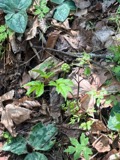
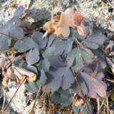
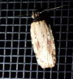
12 of 1,025 shownRegional context, not property-specific evidence. Museums hold 1,025 specimens collected within 10 miles of Ashland between 1898 and 1975: 798 Animalia, 173 Plantae, 52 Fungi, 2 Chromista. 12 distinct Species records are shown. Collected by A. B. Seymour, A. L. Bosworth, A. M. Ottley and others. Each is a physical object with a catalogue number, and each entry opens the museum's record. This is what was collected and kept, not a survey of what lives here - nothing can be concluded from a species being absent.
| Image | Species | Year | Collected by | Where, as recorded |
|---|---|---|---|---|
 | Corvus brachyrhynchos brachyrhynchos C.L.Brehm, 1822 | 1900 | not recorded | Wayland |
 | Actaea pachypoda Elliott | 1898 | Ernest Charles Smith | |
 | Antennaria howellii subsp. canadensis (Greene) R.J.Bayer | 1898 | Williams, E.F. | |
 | Antennaria parlinii subsp. fallax (Greene) R.J.Bayer & Stebbins | 1898 | not recorded | |
 | Antennaria plantaginifolia (L.) Hook. | 1898 | not recorded | |
 | Aquilegia canadensis L. | 1898 | M. I. Gunn | Natick |
 | Agonopterix atrodorsella Clemens, 1863 | 1900 | E. J. Smith | Sherborn |
 | Apantesis Walker, 1855 | 1900 | E. J. Smith | Sherborn |
 | Apatelodes torrefacta J.E.Smith, 1797 | 1900 | E. J. Smith | Sherborn |
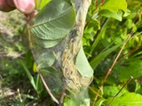 | Archips cerasivorana (Fitch, 1856) | 1900 | E. J. Smith | Sherborn |
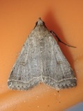 | Bleptina caradrinalis Guenée, 1854 | 1900 | E. J. Smith | Sherborn |
 | Boletus auriporus Peck | 1900 | G. E. Morris |
All 1,025 specimens within 10 miles, at the Global Biodiversity Information Facility.
Mines and quarries near this place
10 of 22 shownRegional context, not property-specific evidence. The federal mineral resources record lists 22 workings within 5 miles of Ashland: 17 past producers, 3 plants, 2 producers. 5 still produce. What was taken out: Sand and Gravel, Construction, Granite, Stone, Crushed/Broken, Iron. Distance is straight-line from the map coordinates, so a quarry counted here may appear on a neighbouring settlement's page as well.
| Where | Site | Commodity | Status | Recorded |
|---|---|---|---|---|
| Hawkridge Bros--Ashland, Ma. | Iron | Plant | ||
| Ashland Quarry | Stone, Crushed/Broken | Producer | ||
| Holliston Plant | Stone, Crushed/Broken | Plant | ||
| Simeone Stone Corp | Granite | Past Producer | Granite | |
| Trimount Bituminous Prod | Granite | Past Producer | Granite | |
| Ashland Plant | Sand and Gravel, Construction | Plant | ||
| Ashland Plant | Sand and Gravel, Construction | Past Producer | ||
| Ashland Sand and Gravel Co | Sand and Gravel, Construction | Past Producer | Sedimentary | |
| Bird Pit | Sand and Gravel, Construction | Past Producer | ||
| Finn Brothers Sand and Gravel | Sand and Gravel, Construction | Past Producer | Sedimentary |
Storms near this place
11 since 2000Regional context, not property-specific evidence. The National Weather Service names Ashland in 11 storm reports between 2000 and 2024: 6 thunderstorm wind, 3 hail, 2 flash flood. No death or injury is recorded in these reports. Each account below is quoted exactly as the forecast office filed it, from the NOAA Storm Events Database, and each date opens the federal record of that event.
| When | Event | Place named | Harm | What the report says |
|---|---|---|---|---|
| August 2006 | Thunderstorm Wind | Ashland | $15,000 | no account filed |
| July 2006 | Thunderstorm Wind | Ashland | $10,000 | no account filed |
| September 2016 | Thunderstorm Wind | Ashland | $5,000 | A tree was downed by thunderstorm winds. |
| April 2002 | Thunderstorm Wind | Ashland | $5,000 | no account filed |
| June 2024 | Thunderstorm Wind | Ashland | $300 | In Ashland, high tension power lines were downed near Grover St. |
| July 2023 | Flash Flood | Ashland | - | In Ashland, two cars were stuck in flood waters on Chestnut St at Rosebay Dr. |
| July 2007 | Thunderstorm Wind | Ashland | - | Trees and wires down at Route 135 and Olive Street. |
| May 2009 | Hail | Ashland | - | no account filed |
| August 2008 | Hail | Ashland | - | no account filed |
| May 2002 | Hail | Ashland | - | no account filed |
| April 2000 | Flash Flood | Ashland | - | no account filed |
Nearest settlements
The eight closest, with where each one stands in the county. Distances are straight-line, computed from the Geographic Names Information System coordinates.
| Map | Place | Distance | Sheets |
|---|---|---|---|
| Workmans Circle Camp | 1.6 miles | 41 | |
| Coburnville | 1.7 miles | 40 | |
| Camp Bob White | 2.4 miles | 41 | |
| Framingham | 2.8 miles | 40 | |
| Framingham Center | 2.9 miles | 40 | |
| Gooch Corners | 3.1 miles | 41 | |
| Whitneys | 3.3 miles | 41 | |
| Hopkinton | 3.9 miles | 42 |
Provenance
This settlement is recorded in the Geographic Names Information System as feature 617384. The sheet list is computed by point-in-boundary test against the United States Geological Survey's historical topographic inventory. Both are works of the United States government and carry no copyright under 17 U.S.C. 105.
Wildfire. Short, Karen C. 2022. Spatial wildfire occurrence data for the United States, 1992-2020 [FPA_FOD_20221014]. 6th Edition. Fort Collins, CO: Forest Service Research Data Archive. https://doi.org/10.2737/RDS-2013-0009.6 Collected with United States Government funding and usable without additional permissions or fees.
Specimens. Global Biodiversity Information Facility (GBIF), https://www.gbif.org/. Only records licensed CC0 or CC BY are used. Records licensed CC BY-NC are excluded because this site carries advertising. Images are checked individually and any whose licence is non-commercial, no-derivatives or unreadable is refused.
Mines and quarries. USGS Mineral Resources Data System (MRDS) https://mrdata.usgs.gov/mrds/ A work of the United States government, no copyright under 17 U.S.C. 105.
Storms. NOAA National Centers for Environmental Information, Storm Events Database https://www.ncei.noaa.gov/stormevents/ A work of the United States government, no copyright under 17 U.S.C. 105. Narratives are quoted verbatim from the National Weather Service report and are not edited or summarised.