 Block
Block
Hudson, Ohio
14 topographic sheets cover this place, the earliest surveyed in 1906 and the latest in 1994. It stands in Hudson City. It lies in ZIP code area 44236. The Survey maps it on the Hudson quadrangle. 23,110 people lived here at the 2020 count. It stands 1,066 feet above sea level.
Population over time
2 figuresHudson grew from 22,262 to 23,110 between 2010 and 2020. These are the recorded population figures Wikidata holds for this place, reached through the Geographic Names Information System number this page is keyed on rather than by name, so they belong to this place and not to another of the same name. Most are census counts, but not all are: an early figure may be a founding or settlement estimate. The change column is computed, and is left blank where more than 20 years separate a figure from the one before it, because a gap that long is not a change between two counts.
| Year | People | Change |
|---|---|---|
| 2010 | 22,262 | |
| 2020 | 23,110 | +848 (+4%) |
Then and now
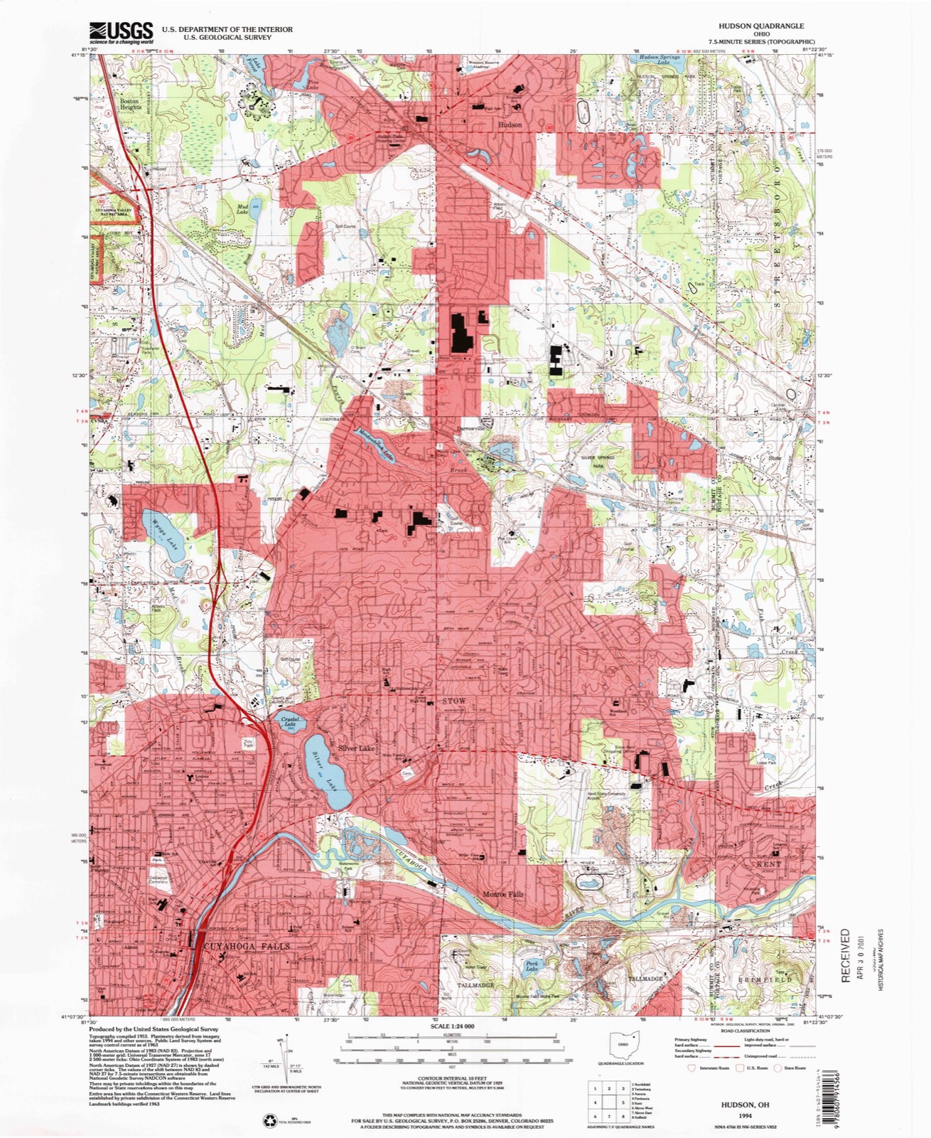
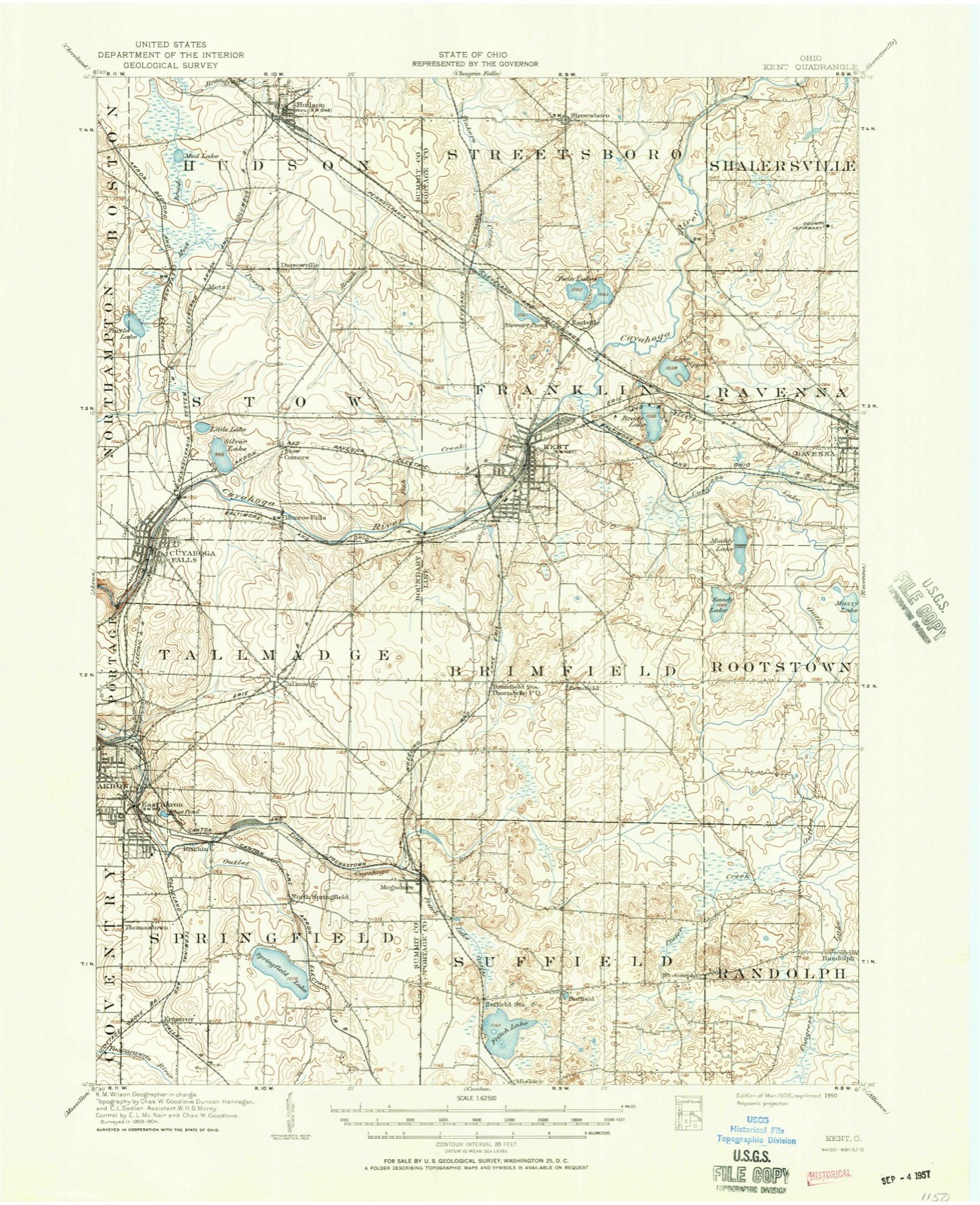
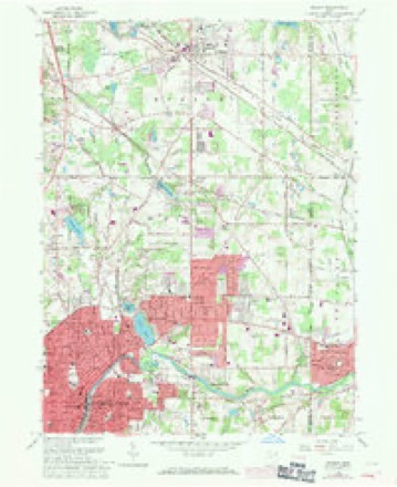
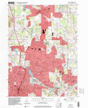
1906 to 1994The same ground, surveyed 88 years apart. Drag the handle to wipe between them. Both sheets are United States Geological Survey originals; neither has been altered.
Compare 1906 against another survey:
Topographic sheets covering this place
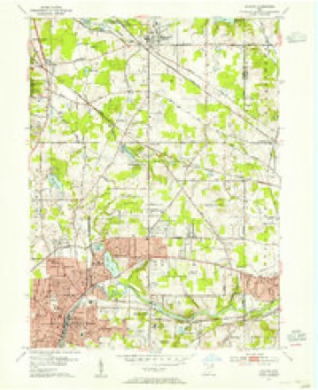
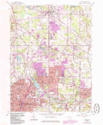
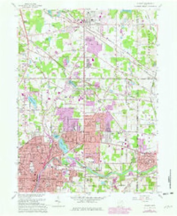
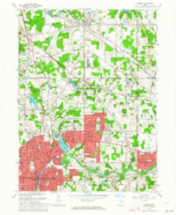
14 sheetsMatched by testing this settlement's coordinate against the published boundary of every sheet in the United States Geological Survey's historical collection. Each opens the scanned sheet at the Survey.
- 1906 USGS Kent quadrangle1:62500
- 1906 USGS Kent quadrangle1:62500
- 1953 USGS Hudson quadrangle1:24000
- 1956 USGS Cleveland quadrangle1:250000
- 1956 USGS Cleveland quadrangle1:250000
- 1956 USGS Cleveland quadrangle1:250000
- 1962 USGS Cleveland quadrangle1:250000
- 1963 USGS Hudson quadrangle1:24000
- 1963 USGS Hudson quadrangle1:24000
- 1963 USGS Hudson quadrangle1:24000
- 1963 USGS Hudson quadrangle1:24000
- 1986 USGS Cleveland South quadrangle1:100000
- 1994 USGS Cleveland South quadrangle1:100000
- 1994 USGS Hudson quadrangle1:24000






In the county-history sources
83,835 words on this townshipHistory of Summit County, with an Outline Sketch of Ohio, published 1881 names this settlement in its chapter on Hudson City. These are the passages that mention it, exactly as the scans read.
The early settlement of the Reserve was an effort to reproduce in this Western wild the honored institutions of the motherland. This was the beginning of the golden period of the Connecticut churches, a period marked by revivals of religion throughout the State, distinguished for their power, purity and permanent influence, gi'eatly enlarging the chm-ches, improving the moi-als of society, and bringing the people of the State, to a great extent, under the control of religion." It was just at this time also that the Connecticut method of " missions to the new settlements " was completed, which was destined to play so important a part in the New Connecticut; and these civilizing influences combined to leave an impress upon the plastic civilization of the new land that has been ciystallized in the cultm'e of to-day. These influences were early marked, and perhaps nowhere more distinctly than in the region which is now embraced in Summit County. A letter from the Western Reserve to Eastern friends dated 1812, reads as follows: "I like Tallmadge better on several accounts than any other place I have seen. The settlers in this toA\Ta are much the most respectable of any on the Reserve. There is provision made for the pennanent support of preaching, which is not the case in any other town." Another letter dated from Tallmadge in the same year, speaks in the same strain: "I am persuaded that if any of om' fi'iends tliiulv of going to a new country, they will find none that they will be so well pleased with, either on account of the quality of the land or of the society. I do not think there is in the State of Connecticut a society where there is that attention paid to the Sabbath, and to religion generally, that there is here. There are very few who do not attend meeting regularly, and very few prayerless families." There is no question but that the early histoiy of Tallmadge was exceptional in some respects, but of Hudson it was scai'cely less true. Its founder, the son of a tailor who taught his children as he plied his trade, grew up to advanced manhood embracing skeptical notions. Caught by the sweeping power of the chiur.h movement of this period he was converted, and with the characteristic practicability of the Pm-itan mind, he sought an opportunity to prove his faith in work. The missionary spirit that had begun to pervade the religious communities of his native State, and the recent organization of the gi'eat Land Company, prepared the way which he adopted without hesitation. Zealous in his new found faith, " he wished to do something to repair the injury he had done, and to advance, to the extent of his ability, the interests of that cause which he had early labored to destroy. These were the views that led him to emigrate. * * * * The early efforts and sacrifices of the men who came to Hudson, show that they were actuated by the motives I have ascribed to them. They never suffered the Sabbath to pass by after the settlement was commenced, without religious worship; and by great effort and great pecuniary expenditure, they provided for the enjoyment of religious ordinances among themselves, and sought to promote the progi-ess of religion in this part of our country. It was the first desire of ^Ir. Hudson's heart to see the day when a chm'ch shou^ld be organized within the township, and he rejoiced in that day. The next object of desire was that this chiu-ch might enjoy the labors of a settled Pastor, and he lived to see that day and was glad. Then it was in his heart to see a house erected for the worship of Grod, and that he saw completed to his great satisfaction. 'But,' said he, 'the college - the college; that was a child of my old age. I never expected to live to see that.' Yet the college was in coincidence with his plans and with his missionary spirit. He spent most of his time in visiting Clmstian families in all parts of the Reserve, and securing the organization of churches and it was with him a matter of painful solicitude, how the infant chm*ches rising up on the Reserve were to be supplied with able, faithful ministers, in sufficient numbers to meet their wants. The college came in as the appropriate instrument to supply the deficiency."*
Passage source: History of Summit County, with an Outline Sketch of Ohio, published 1881.
The original purchasers of this township with its annexes, were Nathaniel Norton, of Bloomfield, N. Y.,Birdseye Norton and David Hudson, of Goshen. Conn. There are no means now of ascertaining the arrangement between these partners in relation to this purchase. Nathaniel Norton was a well-to-do farmer in Bloomfield, N. Y., where he had come as an early settler ; Birdseye Norton was a wealthy merchant of Goshen, and David Hudson a farmer in comfortable circumstances, but of little cash capital. From such evidence as the old account books of Mr. Hudson afford, it is probable that Birdseye Norton furnished one-half of the capital and each of the others contributing a fourth, Mr. Hudson probably turning in his Connecticut farm to Mr. Birdseye Norton. The land was purchased at 52 cents per acre, but with the equalizing annexes the average cost per acre was reduced to 34 cents. Nathaniel Norton, some time in 1S()1, disposed of his share, probably to Stephen Baldwin, Benjamin Oviatt and Theodore Parmele. The first di-aft of the Reserve was made in 1798. and earlv in the following: yeai'. Mr. Hudson started out to explore and survey the land for the company in which he was a partner. His preparations for his new adventui'e were carefully made, as the following exhibit taken from an old account-book shows : far West was forced to depend upon the uncertain guidance of Indian trails and the surveyor's marks. The thoroughfare of Western travel was by the lakes, and IVIr. Hudson has left a carefully prepared " traveler's guide " over that route as follows: From Black Rock to Buffalo Creek, tlu-ee miles; Buffalo Creek to Five Mile Creek, live miles; Five Mile Creek to Eighteen Mile Creek, thirteen miles; Eighteen Mile Creek to Cattaraugus, twelve miles; Cattaraugus to Four Mile Creek, four miles; Four Mile Creek to Fifteen Mile Creek, eleven miles; Fifteen Mile Creek to Chataqua, twenty-live miles; Chataqua to Lowiy's, sixteen miles; Lowry's to Presque Isle, sixteen miles; Presq^^e Isle to Walnut Creek, twelve miles ; Walnut Creek to Elk Creek, eight miles ; Elk Creek to Conneaut, ten miles; Conneaut to Ashtabula, fourteen miles; Ashtabula to Grand River, twenty-six miles; Grand River to Chagrin, ten miles; Chagrin to Cuyahoga, twenty miles; a total of 205 miles. The only public source of information in regard to this country was " Morse's Geography," which represented the latter river as navigable for sloops for forty miles from its moiith.
Passage source: History of Summit County, with an Outline Sketch of Ohio, published 1881.
On the 22d day of April, 1799, in company with Jesse Lindley, William McKinley, whom he had hired as assistants, and Ira, his son of eleven years, Mr. Hudson started for Bloomfield, N. Y. The party was accompanied by a wagon driven by Thaddeus Lacey, who brought his wife and two childi'en. Mr. and Mrs. Lacey were engaged as purveyor and cook for the party, and were in charge of the supplies with which the wagon was loaded. Their route lay toward Albany, where they arrived on the 24th. Here Mr. Hudson hired Joseph Darrow for six months, at $10 per month, to accompany the expedition, terms similar to those on which the others had been engaged. Their course then led tlu'ough Schenectady, old Fort Schuyler, Onondaga to Bloomfield. Sixteen miles west of Schenectady, Mr. Hudson, leaving his son and Lindlev with the wagon, pushed on ahead with Darrow, making his way on foot to Fort Schuyler on the 29th, where he engaged Jonah Meecham; to Onondaga on May 2, where he added Richard H. Blin to his party, reaching Nathaniel Norton's in Bloomfield on the 5th day of May. Here the little party was detained eleven days, which they employed in fiu'ther providing for their enterprise in the wilderness. Here IMr. Hudson fell in with Benjamin Tappan, later known as Judge, on his way to his town of Ravenna. ]VIi\ Ta])pan here bought a yoke of oxen and ]VIi'. Hudson, as will appear in the preceding statement, bought two yoke of oxen and two cows. These animals were conhded to the care of Meacham, who assisted by some of Tappan' s hired men, brought them safely on the Indian trail thi'ough Buffalo, until he found near the lake the west line of the seventh range on the Reserve. This line, the eastern boundary of the present township of Paiuesville, Concoi'd, Chardon, Monson, Newburg, Auburn, Mantua, Shalersville and Ravenna, they followed due south for more than forty miles, crossing the Grand and Cuyahoga Rivers and striking the Salt Spring Indian trail near the southeastern corner of Ravenna, and thence to their destination. In the meanwhile Hudson had his baggage and supplies transported to Grondigut Bay, where, to his great disappointment, he found his boat in no condition for u.se. He sent back Eliada Lindley and Farr and Straight, whom he had secured at Bloomlield, and obtained passage in one of Tappan's boats for himself and DaiTow. He also had the good fortune to find Eli as Harmon here, about to start out with his wife for Mantua. In one of his boats he obtained passage for Blin and McKinley, dividing such of his store as he was able to take between the two boats. This was on the 16th of May, but meeting with bad weather the little fleet did not reach Niagara until the 22d, when to their astonishment they found the river full of floating ice. They proceeded up the river, however, against the united strength of the cmi'ent and floating ice, and with great effort reached Buffalo Creek on the 26th, where they were blocked up with ice " at least twelve feet high." Happily the ice broke up that night leaving Lake Erie clear, but with so heavy a swell rolling that the expedition was obliged to lay by until the 29th, when for three days the lake was almost at a dead calm. Prompt use was made of these advantageous circumstances, the little party rowing from Buffalo to Elk Creek, a distance of 120 miles in the meantime. On the 1st of June they put out and attempted to continue their jomTiey and rowed six miles, but they were obliged to beach their boats at Crooked Creek, and lay windbound for several days. "On the 5th," says IVIi-. Hudson, " we put out fi'om Crooked Creek and dined in Conneaut, with a fair wind fi'om the northeast. At 2 o'clock P. M., the wind shifted into the north and blew on the shore with such violence that the boat in which myself and Darrow were, and which was heavily loaded, filled with water before a single article could be got on shore. With most unremitting and violent exertion, we saved oin: boat and loading, and spent the remainder of the day and part of the next in diying our loading which was much damaged with water. On the 7th and 8th we sailed to Grand River, using the bed blankets as sails. The boat in which McKinley and Blin had taken passage and which was in oiu- company, fai'ed worse, it being stove, and a part of my potatoes went thi'ough her bottom. But after the wind had subsided they got her up, and with the help of my nails they so far repaired the wTeck that they got her into Grand River with her loading on the same day we got there."* This was the destination of JNIi-. Harmon's goods and as there was no way of securing the transportation of the goods on board, he pui'chased this boat of IVli*. Harmon for $1 and proceeded with his boat, leaving Blin and McKinley to proceed up the river some fom* miles, discharge Harmon's goods and then to continue the joiu-ney to the Cuyahoga River.
Passage source: History of Summit County, with an Outline Sketch of Ohio, published 1881.
Machine-read from a century-old scan, so expect the errors a machine makes: misspelled names, dropped words, stray characters.
Read the whole chapter on Hudson City - it names this place 113 more 113 times.
Photographs
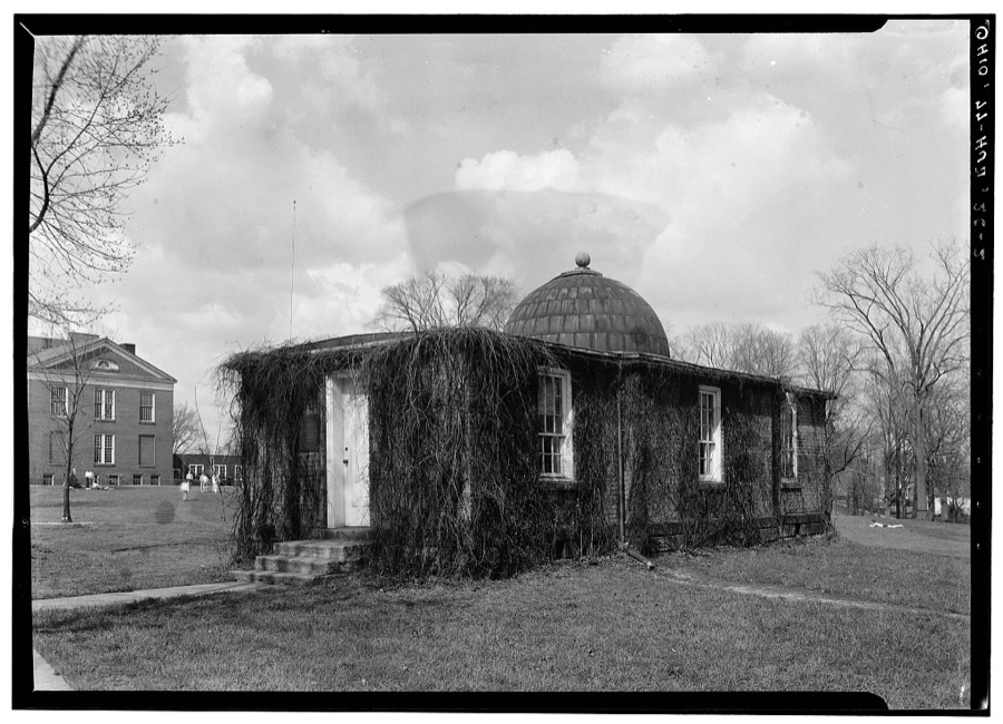
1 photograph,Taken for the Office of War Information and the Farm Security Administration, who photographed the country between 1935 and 1944. Works of United States government photographers, with no known restriction on use. Each opens its catalogue record.
Unattributed, . Library of Congress
Fires near this place
6 since 1993Regional context, not property-specific evidence. The federal wildfire occurrence database lists 6 fires within 5 miles of Hudson between 1993 and 2005, burning about 3 acres in total. 1 started naturally. None was recorded as arson. Distance is straight-line from the map coordinates, so a fire counted here may appear on a neighbouring settlement's page as well.
| Reported cause | Fires |
|---|---|
| Debris and open burning | 2 |
| Power generation/transmission/distribution | 1 |
| Natural | 1 |
| Recreation and ceremony | 1 |
| Missing data/not specified/undetermined | 1 |
The most recent of them, most recent first, with the day each was reported and the service that recorded it.
| Date | Cause | Size | Reported by | Name on the report |
|---|---|---|---|---|
| 22 May 1994 | Recreation and ceremony | under an acre | Cuyahoga Valley National Park | LEDGES |
| 5 April 1993 | Debris and open burning | under an acre | Cuyahoga Valley National Park | GOOD |
| 2 April 2001 | Natural | 2.0 acres | Cuyahoga Valley National Park | PINEHOLLOW |
| 15 April 2005 | Missing data/not specified/undetermined | 1.0 acres | Cuyahoga Valley National Park | PINE LANE |
| 12 April 2001 | Power generation/transmission/distribution | under an acre | Cuyahoga Valley National Park | MANATOC |
| 1 December 1994 | Debris and open burning | under an acre | Cuyahoga Valley National Park | TILDEN |
Settlements close enough to share some of these fires:
Specimens collected near this place
12 of 810 shownRegional context, not property-specific evidence. Museums hold 810 specimens collected within 10 miles of Hudson between 1877 and 1973: 759 Animalia, 40 Plantae, 11 Fungi. 12 distinct Species records are shown. Collected by A. Black, A. Hall, A. Woolman and others. Each is a physical object with a catalogue number, and each entry opens the museum's record. This is what was collected and kept, not a survey of what lives here - nothing can be concluded from a species being absent.
| Image | Species | Year | Collected by | Where, as recorded |
|---|---|---|---|---|
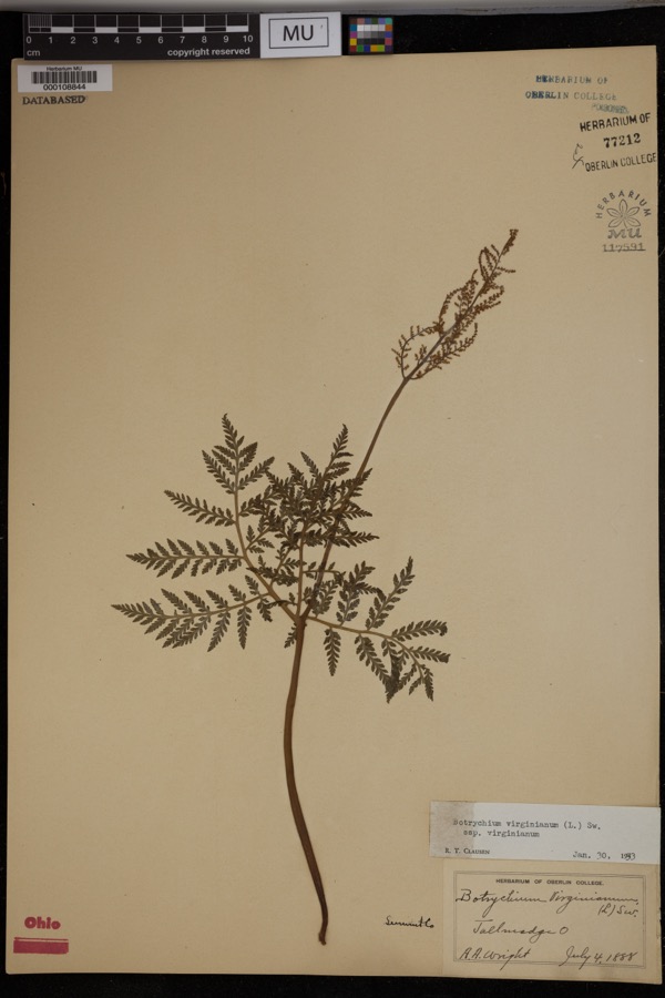 | Botrychium virginianum subsp. virginianum | 1888 | Wright, A.A. | Tallmadge. |
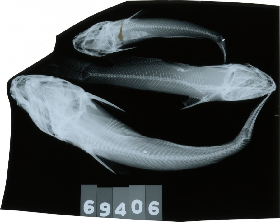 | Ameiurus melas (Rafinesque, 1820) | 1893 | C. Rutter | Cuyahoga River, Penisula, Ohio |
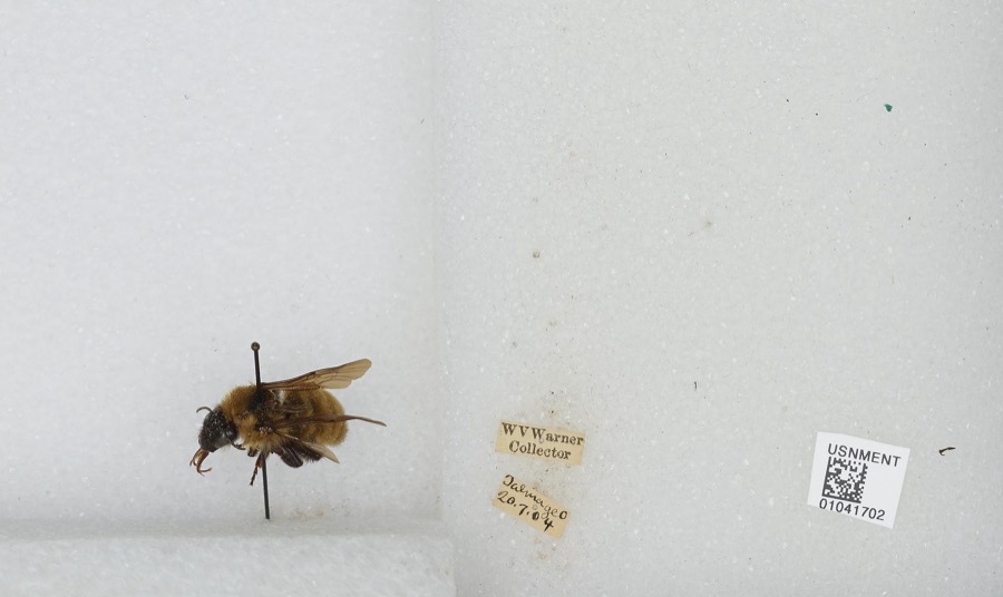 | Bombus Latreille, 1802 | 1904 | W. Warner | Tallmadge |
 | Empidonax flaviventris (W.M.Baird & S.F.Baird, 1843) | 1877 | A. Hall | Cuyahoga |
 | Buteo lineatus lineatus (Gmelin, 1788) | 1887 | B. Sanford | Hudson |
 | Gymnosporangium juniperi-virginianae Schwein. | 1889 | Reade M. C. | Hudson |
 | Carex communis L.H.Bailey | 1892 | Werner, W.C. | Cuyahoga Falls |
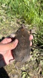 | Condylura cristata (Linnaeus, 1758) | 1892 | Clark, D. | Cuyahoga Falls Ave., Akron, Summit Co., Ohio |
 | Scolopax minor J.F.Gmelin, 1789 | 1892 | Beryl Hodge | Hudson |
 | Bombycilla cedrorum Vieillot, 1808 | 1893 | Hine, J. S. (James Stewart) | Summit, Ohio, USA |
 | Catostomus commersonii (Lacepède, 1803) | 1893 | not recorded | Peninsula, Ohio |
 | Chrysemys picta (Schneider, 1783) | 1893 | not recorded | Silver Lake |
All 810 specimens within 10 miles, at the Global Biodiversity Information Facility.
Mines and quarries near this place
3 within 5 milesRegional context, not property-specific evidence. The federal mineral resources record lists 3 workings within 5 miles of Hudson: 2 past producers, 1 producer. 1 still produces. What was taken out: Sand and Gravel, Construction. Distance is straight-line from the map coordinates, so a quarry counted here may appear on a neighbouring settlement's page as well.
| Where | Site | Commodity | Status | Recorded |
|---|---|---|---|---|
| Hudson Pit | Sand and Gravel, Construction | Past Producer | Sedimentary | |
| Northern Ohio Materials Hudson Pit | Sand and Gravel, Construction | Producer | ||
| Plant Number 2 | Sand and Gravel, Construction | Past Producer | Sedimentary |
Storms near this place
25 since 1996Regional context, not property-specific evidence. The National Weather Service names Hudson in 25 storm reports between 1996 and 2024: 11 thunderstorm wind, 8 hail, 4 flash flood, 2 lightning. No death or injury is recorded in these reports. Each account below is quoted exactly as the forecast office filed it, from the NOAA Storm Events Database, and each date opens the federal record of that event.
| When | Event | Place named | Harm | What the report says |
|---|---|---|---|---|
| August 2024 | Flash Flood | Hudson | $500,000 | Reports of flooded and impassable roadways in northeast Hudson, including Pine Trails, Alexandra Drive, Huntington Road, Mayapple Drive, Herrick Park Drive, and Deerpath Trails. Ponds overflowing on Stow Road. Vehicles stuck in water in front of Hudson High School and on Woodspring Lane and Stow Road. 34 homes reported flooding, mainly basement flooding. One partial basement collapse was reported, with 11 rescues from cars stuck in water. |
| July 2003 | Thunderstorm Wind | Hudson | $50,000 | Thunderstorm winds toppled two large trees. Both trees struck a house and caused considerable roof and wall damage. |
| August 2024 | Flash Flood | Hudson | $30,000 | Report of nearly first floor flooding in home on Edgeview Drive in Hudson. |
| August 2023 | Thunderstorm Wind | Hudson | $30,000 | Downed trees damaged home in Hudson. |
| May 2018 | Thunderstorm Wind | Hudson | $10,000 | Thunderstorm winds downed several trees and large limbs. |
| June 1996 | Lightning | Hudson | $10,000 | no account filed |
| August 1996 | Lightning | Hudson | $10,000 | no account filed |
| May 2017 | Thunderstorm Wind | Hudson | $3,000 | Thunderstorm winds downed at least two trees. |
| May 2002 | Thunderstorm Wind | Hudson | $3,000 | Thunderstorm winds downed two large trees limbs. |
| June 2022 | Thunderstorm Wind | Hudson | $2,000 | Numerous trees downed in Hudson, one of which fell onto house and caused at least gutter damage per photo. |
| June 2007 | Thunderstorm Wind | Hudson | $2,000 | A few trees were reported down. |
| August 2024 | Flash Flood | Hudson | - | Hudson Park Drive between Blue Heron Drive and Leeway Drive closed due to flooding. |
| August 2024 | Flash Flood | Hudson | - | Standing water flooding all three eastbound lanes of I-80 near Hudson. |
| April 2023 | Thunderstorm Wind | Hudson | - | Several trees downed in Hudson. |
| June 2022 | Thunderstorm Wind | Hudson | - | Numerous trees downed at Hudson Springs Park. |
| August 2021 | Thunderstorm Wind | Hudson | - | Gas station canopy was blown over at the intersection of OH-91 and OH-303 in Hudson. |
| March 2020 | Hail | Hudson | - | Social media report of ping pong ball-size hail 1.7 miles SSE of Hudson. |
| April 2017 | Hail | Hudson | - | Penny sized hail was observed. |
| May 2011 | Hail | Hudson | - | Quarter size hail was observed. |
| May 2011 | Hail | Hudson | - | Quarter sized hail was observed. |
| June 2008 | Hail | Hudson | - | Penny size hail was observed. |
| May 2004 | Hail | Hudson | - | Penny size hail was observed. |
| May 2004 | Hail | Hudson | - | Penny size hail was observed. |
| May 2003 | Thunderstorm Wind | Hudson | - | Thunderstorm winds downed one tree and several large limbs. |
| July 2003 | Hail | Hudson | - | Penny size hail was observed. |
Nearest settlements
The eight closest, with where each one stands in the county. Distances are straight-line, computed from the Geographic Names Information System coordinates.
| Map | Place | Distance | Sheets |
|---|---|---|---|
| Highland Springs | 2.0 miles | 15 | |
| Western Reserve Estates | 2.3 miles | 15 | |
| Darrowville | 2.6 miles | 14 | |
| Chittendens Corners | 2.9 miles | 14 | |
| Metz | 3.2 miles | 14 | |
| Bosworth (historical) | 3.6 miles | 15 | |
| Boston Heights | 4.2 miles | 15 | |
| Twinsburg Heights | 4.7 miles | 15 |
Elsewhere
Matched on this settlement's Geographic Names Information System number rather than its name, so it cannot be a different place of the same name in another state.
| Wikipedia article on Hudson | An encyclopaedic summary. Its text is share-alike, so it is linked here rather than copied. |
| Wikidata item Q579848 | The structured record the population and elevation above come from. Public domain (CC0). |
Provenance
This settlement is recorded in the Geographic Names Information System as feature 1048857. The sheet list is computed by point-in-boundary test against the United States Geological Survey's historical topographic inventory. Both are works of the United States government and carry no copyright under 17 U.S.C. 105.
Wildfire. Short, Karen C. 2022. Spatial wildfire occurrence data for the United States, 1992-2020 [FPA_FOD_20221014]. 6th Edition. Fort Collins, CO: Forest Service Research Data Archive. https://doi.org/10.2737/RDS-2013-0009.6 Collected with United States Government funding and usable without additional permissions or fees.
Specimens. Global Biodiversity Information Facility (GBIF), https://www.gbif.org/. Only records licensed CC0 or CC BY are used. Records licensed CC BY-NC are excluded because this site carries advertising. Images are checked individually and any whose licence is non-commercial, no-derivatives or unreadable is refused.
Mines and quarries. USGS Mineral Resources Data System (MRDS) https://mrdata.usgs.gov/mrds/ A work of the United States government, no copyright under 17 U.S.C. 105.
Storms. NOAA National Centers for Environmental Information, Storm Events Database https://www.ncei.noaa.gov/stormevents/ A work of the United States government, no copyright under 17 U.S.C. 105. Narratives are quoted verbatim from the National Weather Service report and are not edited or summarised.