 Block
Block
Hunter, Ohio
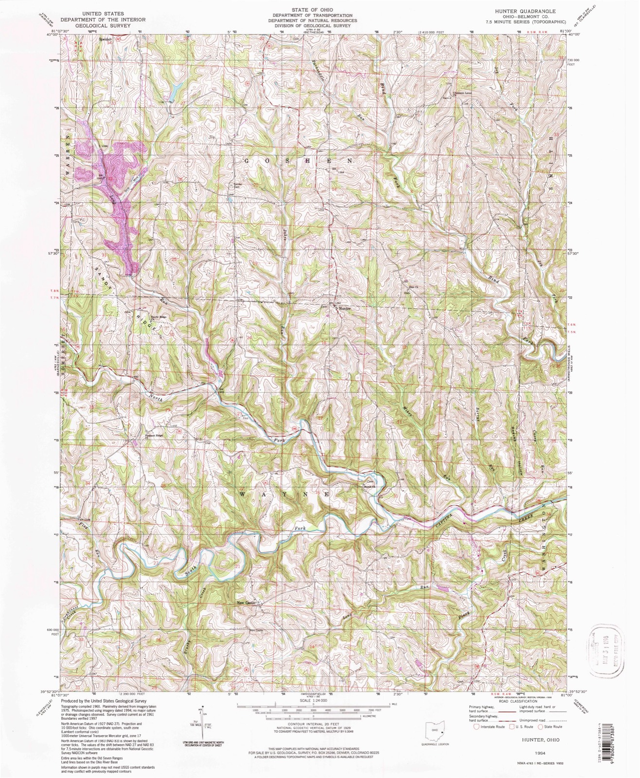
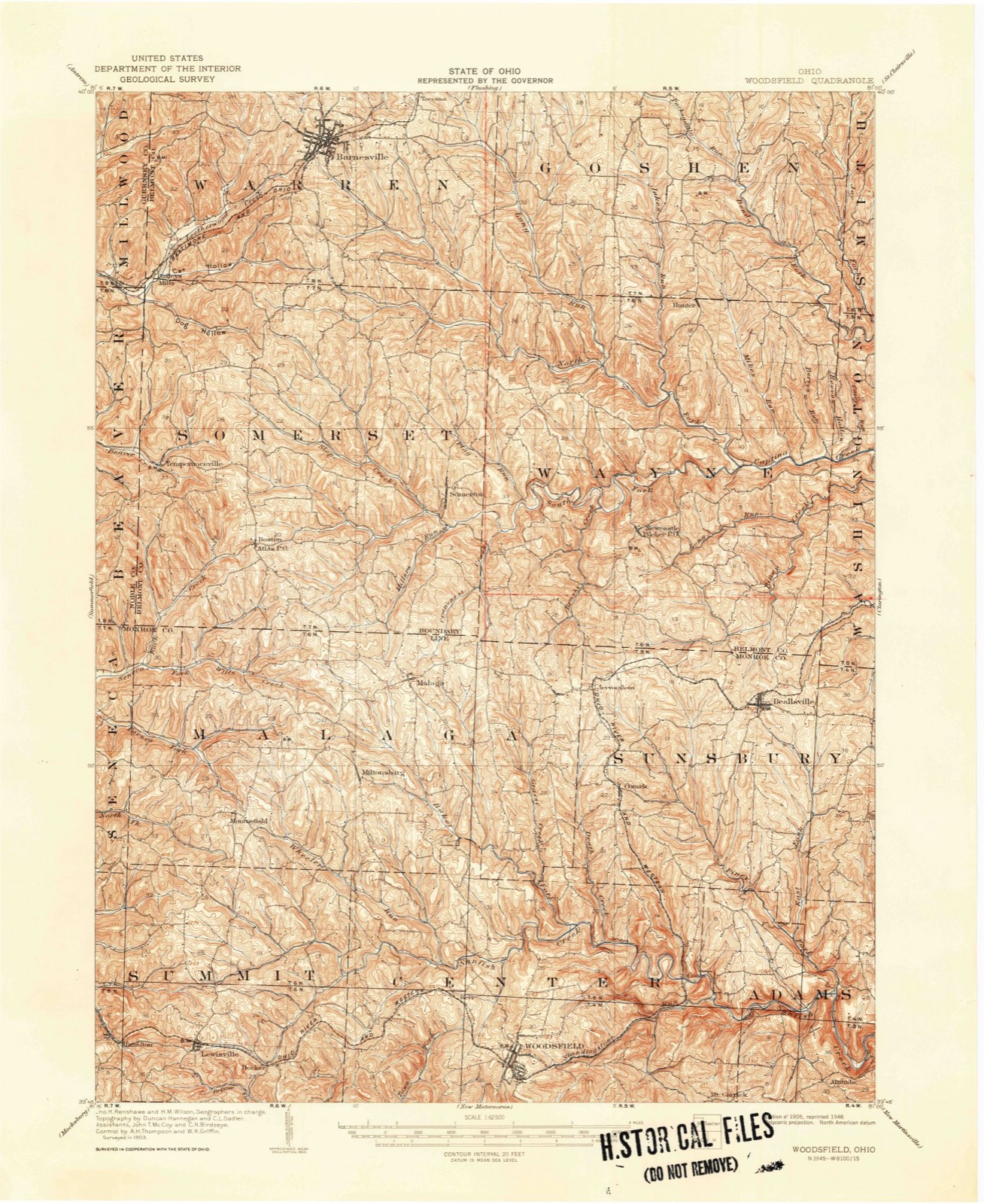
13 topographic sheets cover this place, the earliest surveyed in 1905 and the latest in 1994. It stands in Wayne Township. It lies in ZIP code area 43719. It stands on Jakes Run. The Survey maps it on the Hunter quadrangle.
Then and now
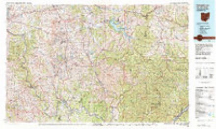
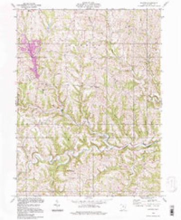
1905 to 1994The same ground, surveyed 89 years apart. Drag the handle to wipe between them. Both sheets are United States Geological Survey originals; neither has been altered.
Compare 1905 against another survey:
Topographic sheets covering this place
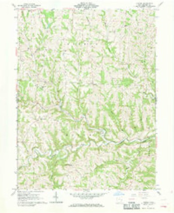
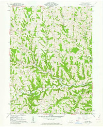
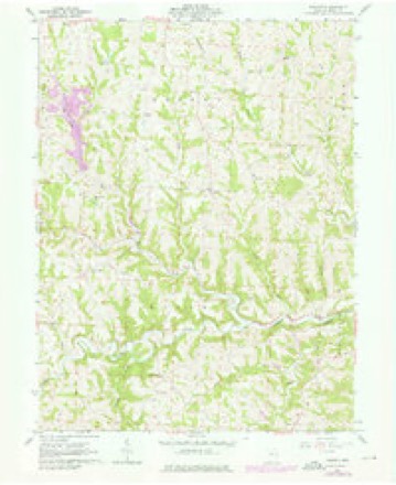
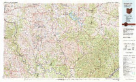
13 sheetsMatched by testing this settlement's coordinate against the published boundary of every sheet in the United States Geological Survey's historical collection. Each opens the scanned sheet at the Survey.
- 1905 USGS Woodsfield quadrangle1:62500
- 1905 USGS Woodsfield quadrangle1:62500
- 1949 USGS Clarksburg quadrangle1:250000
- 1956 USGS Clarksburg quadrangle1:250000
- 1956 USGS Clarksburg quadrangle1:250000
- 1961 USGS Clarksburg quadrangle1:250000
- 1961 USGS Hunter quadrangle1:24000
- 1961 USGS Hunter quadrangle1:24000
- 1975 USGS Hunter quadrangle1:24000
- 1980 USGS Senecaville quadrangle1:100000
- 1980 USGS Senecaville Lake quadrangle1:100000
- 1988 USGS Clarksburg quadrangle1:250000
- 1994 USGS Hunter quadrangle1:24000





In the county-history sources
240,888 words on this townshipCentennial History of Belmont County, Ohio, and Representative Citizens., published 1903 names this settlement in its chapter on Wayne Township. These are the passages that mention it, exactly as the scans read.
Hunter is named after ex-Congressman Hunter of Monroe County, and is situated near the township line. It is in size and population about the equal of New Castle and contains one school and a church. The town was laid out over half a century ago liy N. Anderson, and has a population today of less than 100. There are several stores in the village and a post office. The school is in charge of J. C. Hicks, and has an average attendance of 35.
Passage source: Centennial History of Belmont County, Ohio, and Representative Citizens., published 1903.
Adam Arnold was united in marriage with Barbara Rice, a daughter of John Rice, one of the pioneer settlers of Belmont County. She was a native of Bavaria, Germany, and her death, as well as that of Mr. Arnold, took place in 1895. They had a large family, consisting of 12 children, of whom 10 are still survivors and are widely separated by their respective homes. One child resides at AA-^hatcom, Washington; one daughter lives in Butler, Pennsylvania, and one in Pittsburg; two daughters and one son are still inmates of the old homestead in Monroe County; a son, George Arnold, is an attorney-at-law in Bellaire, having his office over the Post Office. He is accounted one of the most able and eloquent barristers of the city and has a good general practice. His birth took place February 5, 1863, in Monroe County: after his early education, he studied law at AAffiodsfield, Ohio, in the office of Hunter & Mallory, being admitted to the bar in June, 1890. At that date he came to Belmont County, became a teacher and followed that profession for 10 years, beginning the practice of law in 1900. His marriage with Louisa C. Zink, of Monroe County, was prolific of three children, namely, Minnie N., Paul E. and Esther A. The family now reside at Powhatan Point, York township, Belmont County, of which town Mr. Arnold is the present mayor. He supports the Democratic party in politics and has served creditably as justice of the peace in Pultney township. Fraternally he affiliates with the Knights of Pythias, being a member of Black Prince Lodge of Bellaire.
Passage source: Centennial History of Belmont County, Ohio, and Representative Citizens., published 1903.
Samuel Groves, the father of our subject, was born in Kirkwood township, Belmont County, in 1825, and died August 26, 1900, aged 65 years, six months and 14 days. In 1854 he married Charlotte Douglass, and they had born to them a family of six children, namely: Elliott W. ; Iona I., who married A. Ferguson Hunter, lives near Barnesville; Cyrus died when but 10 years of age; Savina, Eliza, and Ida. Samuel Groves followed farming all his life, residing on a farm adjoining the farm where he was born. He was a man of exemplary character, devoted to his home and family, and highly respected in his neighborhood. He was of Holland descent on the paternal side and German on the maternal, and inherited admirable traits from both parents.
Passage source: Centennial History of Belmont County, Ohio, and Representative Citizens., published 1903.
Machine-read from a century-old scan, so expect the errors a machine makes: misspelled names, dropped words, stray characters.
Read the whole chapter on Wayne Township - it names this place 3 more 3 times.
Fires near this place
8 since 2013Regional context, not property-specific evidence. The federal wildfire occurrence database lists 8 fires within 5 miles of Hunter between 2013 and 2018, burning about 59 acres in total. None started naturally. None was recorded as arson. Distance is straight-line from the map coordinates, so a fire counted here may appear on a neighbouring settlement's page as well.
| Reported cause | Fires |
|---|---|
| Debris and open burning | 7 |
| Missing data/not specified/undetermined | 1 |
The most recent of them, most recent first, with the day each was reported and the service that recorded it.
| Date | Cause | Size | Reported by | Name on the report |
|---|---|---|---|---|
| 4 May 2013 | Debris and open burning | under an acre | Ohio Department of Natural Resources | not named |
| 29 March 2015 | Debris and open burning | 1.0 acres | Ohio Department of Natural Resources | 603 |
| 23 March 2014 | Debris and open burning | 40 acres | Ohio Department of Natural Resources | not named |
| 15 March 2014 | Missing data/not specified/undetermined | 4.0 acres | Ohio Department of Natural Resources | not named |
| 27 February 2018 | Debris and open burning | 10 acres | Ohio Department of Natural Resources | 11325 |
| 26 February 2014 | Debris and open burning | 3.0 acres | Ohio Department of Natural Resources | not named |
| 19 February 2017 | Debris and open burning | 1.0 acres | Ohio Department of Natural Resources | 6966 |
| 15 November 2016 | Debris and open burning | under an acre | Ohio Department of Natural Resources | 6386 |
Settlements close enough to share some of these fires:
Specimens collected near this place
12 of 223 shownRegional context, not property-specific evidence. Museums hold 223 specimens collected within 10 miles of Hunter between 1884 and 1975: 204 Animalia, 10 Fungi, 7 Plantae, 2 Unrecorded. 12 distinct Species records are shown. Collected by A. Goff, CL & LC Hubbs, Cooke, W. B.; Cooke, V. G. and others. Each is a physical object with a catalogue number, and each entry opens the museum's record. This is what was collected and kept, not a survey of what lives here - nothing can be concluded from a species being absent.
| Image | Species | Year | Collected by | Where, as recorded |
|---|---|---|---|---|
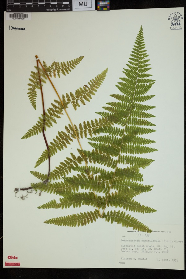 | Dennstaedtia punctilobula (Michx.) T.Moore | 1971 | Cusick, A.W. | disturbed beech woods; St. Rt. 26, just S., Co. Rt. 92, Sect 21, Goshen Twp. |
 | Dumetella carolinensis (Linnaeus, 1766) | 1884 | Jones, J. (Jesse) | Belmont, Ohio, USA |
 | Hylocichla mustelina (Gmelin, 1789) | 1885 | Jones, J. (Jesse) | West Wheeling, Belmont, Ohio, USA |
 | Quiscalus quiscula versicolor Vieillot, 1819 | 1885 | Jones, J. (Jesse) | Martin's Ferry, Belmont, Ohio, USA |
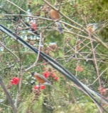 | Turdus migratorius Linnaeus, 1766 | 1885 | Jones, J. (Jesse) | Martin's Ferry, Belmont, Ohio, USA |
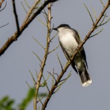 | Tyrannus tyrannus (Linnaeus, 1758) | 1885 | Jones, J. | Martin's Ferry, Belmont, Ohio, USA |
 | Zenaida macroura (Linnaeus, 1758) | 1885 | Jones, J. (Jesse) | Martin's Ferry, Belmont, Ohio, USA |
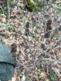 | Blephilia hirsuta (Pursh) Benth. | 1887 | Koenig, A. | near Temperanceville |
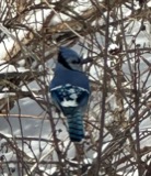 | Cyanocitta cristata (Linnaeus, 1758) | 1891 | Pogue, G. M. (George Marion) | Belmont, Ohio, USA |
 | Hirundo rustica Linnaeus, 1758 | 1891 | Pogue, G. M. (George Marion) | 2 miles south-east of Loydsville, Belmont, Ohio, USA |
 | Melanerpes erythrocephalus (Linnaeus, 1758) | 1891 | Pogue, G. M. (George Marion) | 1/2 mile east of Loydsville, Belmont, Ohio, USA |
 | Sturnella magna (Linnaeus, 1758) | 1891 | Pogue, G. M. (George Marion) | 1/2 mi east of Loydsville, Belmont, Ohio, USA |
All 223 specimens within 10 miles, at the Global Biodiversity Information Facility.
Storms near this place
5 since 1999Regional context, not property-specific evidence. The National Weather Service names Hunter in 5 storm reports between 1999 and 2024: 2 flash flood, 2 thunderstorm wind, 1 flood. No death or injury is recorded in these reports. Each account below is quoted exactly as the forecast office filed it, from the NOAA Storm Events Database, and each date opens the federal record of that event.
| When | Event | Place named | Harm | What the report says |
|---|---|---|---|---|
| June 2013 | Thunderstorm Wind | Hunter | $5,000 | Broadcast media reported that several trees were knocked down along County Road 92. Two roofs were blown off of a barn and one was tossed 200 feet. |
| April 2024 | Flash Flood | Hunter | $1,000 | State Road 148 was closed due to flooding. |
| April 2024 | Flood | Hunter | - | State Route 148 closed due to flooding on Captina Creek. |
| July 2020 | Thunderstorm Wind | Hunter | - | A local citizen reported numerous trees down and large corn stalks flattened. |
| January 1999 | Flash Flood | Hunter | - | More debris jams formed on Captina Creek and caused water to rise onto State Route 148. Water was reported on parts of the roadway beginning from the intersection of State Routes 148 and 26, eastward to near Armstrongs Mills. |
Nearest settlements
The eight closest, with where each one stands in the county. Distances are straight-line, computed from the Geographic Names Information System coordinates.
| Map | Place | Distance | Sheets |
|---|---|---|---|
| New Castle | 4.0 miles | 13 | |
| Hogsink | 4.5 miles | 12 | |
| Speidel | 4.8 miles | 12 | |
| Bethesda | 4.8 miles | 12 | |
| Centerville | 5.2 miles | 12 | |
| Somerton | 5.3 miles | 13 | |
| Belmont | 5.7 miles | 12 | |
| Alledonia | 5.8 miles | 12 |
Elsewhere
Matched on this settlement's Geographic Names Information System number rather than its name, so it cannot be a different place of the same name in another state.
| Wikipedia article on Hunter | An encyclopaedic summary. Its text is share-alike, so it is linked here rather than copied. |
| Wikidata item Q22133845 | The structured record the population and elevation above come from. Public domain (CC0). |
Provenance
This settlement is recorded in the Geographic Names Information System as feature 1064878. The sheet list is computed by point-in-boundary test against the United States Geological Survey's historical topographic inventory. Both are works of the United States government and carry no copyright under 17 U.S.C. 105.
Wildfire. Short, Karen C. 2022. Spatial wildfire occurrence data for the United States, 1992-2020 [FPA_FOD_20221014]. 6th Edition. Fort Collins, CO: Forest Service Research Data Archive. https://doi.org/10.2737/RDS-2013-0009.6 Collected with United States Government funding and usable without additional permissions or fees.
Specimens. Global Biodiversity Information Facility (GBIF), https://www.gbif.org/. Only records licensed CC0 or CC BY are used. Records licensed CC BY-NC are excluded because this site carries advertising. Images are checked individually and any whose licence is non-commercial, no-derivatives or unreadable is refused.
Storms. NOAA National Centers for Environmental Information, Storm Events Database https://www.ncei.noaa.gov/stormevents/ A work of the United States government, no copyright under 17 U.S.C. 105. Narratives are quoted verbatim from the National Weather Service report and are not edited or summarised.