 Block
Block
Ingomar, Ohio
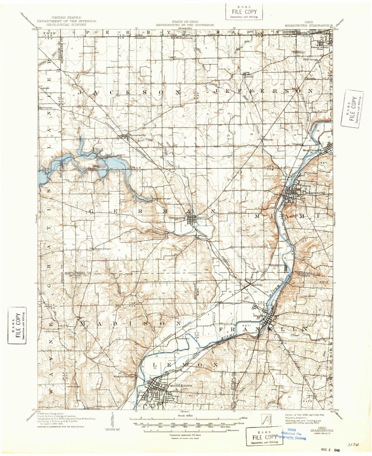
11 topographic sheets cover this place, the earliest surveyed in 1908 and the latest in 1986. It stands in Lanier Township. It lies in ZIP code area 45381. It stands on Lesley Run. The Survey maps it on the West Alexandria quadrangle.
Then and now
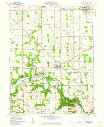
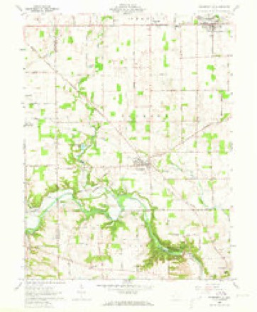
1908 to 1986The same ground, surveyed 78 years apart. Drag the handle to wipe between them. Both sheets are United States Geological Survey originals; neither has been altered.

Compare 1908 against another survey:
Topographic sheets covering this place
11 sheetsMatched by testing this settlement's coordinate against the published boundary of every sheet in the United States Geological Survey's historical collection. Each opens the scanned sheet at the Survey.
- 1908 USGS Miamisburg quadrangle1:62500
- 1953 USGS Cincinnati quadrangle1:250000
- 1953 USGS Cincinnati quadrangle1:250000
- 1953 USGS Cincinnati quadrangle1:250000
- 1957 USGS Cincinnati quadrangle1:250000
- 1960 USGS Farmersville quadrangle1:24000
- 1960 USGS Farmersville quadrangle1:24000
- 1960 USGS Farmersville quadrangle1:24000
- 1960 USGS Farmersville quadrangle1:24000
- 1986 USGS Dayton quadrangle1:100000
- 1986 USGS Dayton quadrangle1:100000






In the county-history sources
2,967 words on this townshipHistory of Preble County Ohio: Her People, Industries and Institutions, published 1915 names this settlement in its chapter on Lanier Township. These are the passages that mention it, exactly as the scans read.
Along the main streams are wide stretches of bottom land of unexcelled fertility, which once were more productive than now, because the owners many times have abused them. One field pointed out to the writer some years ago had been put in corn for over thirty successive years. The farmers are doing better now. Along the three main streams the land is somewhat broken, but not for any considerable distance from the streams, for shortly after the slopes are climbed the land becomes level, or gently rolling land, of clay soil, underlaid with limestone subsoil and very fertile.
Passage source: History of Preble County Ohio: Her People, Industries and Institutions, published 1915.
In 1882 or 1883, after several years of discussion and quiet dissension, there occurred what may be termed a friendly secession, although at that time there was some bitterness, among the German Baptists at Wheatville and neighborhood, and a part called the "Old Order" Brethren, drew off and erected a frame church near the center of section 17, on the farm of Joseph Flora, hence locally called the Flora church, which now numbers about one hundred members, with S. Leedy and J. C. Brubaker as elders.
Passage source: History of Preble County Ohio: Her People, Industries and Institutions, published 1915.
Shortly after the close of the Civil War a class of the Evangelical Lutheran church was formed in and about Enterprise, the members going to church at Farmersville and West Alexandria. In 1872 this class was organized into a society by Rev. Amos Poorman, who soon after was followed by Rev. George W. Busby. The society grew, and in 1878 erected a church in Enterprise, called St. John's Evangelical Lutheran church, the congregation of which now numbers about eighty members, with a Sunday school enrollment of about one hundred.
Passage source: History of Preble County Ohio: Her People, Industries and Institutions, published 1915.
Machine-read from a century-old scan, so expect the errors a machine makes: misspelled names, dropped words, stray characters.
Read the whole chapter on Lanier Township - it names this place 1 more 1 time.
Specimens collected near this place
12 of 707 shownRegional context, not property-specific evidence. Museums hold 707 specimens collected within 10 miles of Ingomar between 1877 and 1974: 539 Animalia, 152 Fungi, 16 Plantae. 12 distinct Species records are shown. Collected by ?, A.R. Gaufin, H.H. Ross, Arden R. Gaufin and others. Each is a physical object with a catalogue number, and each entry opens the museum's record. This is what was collected and kept, not a survey of what lives here - nothing can be concluded from a species being absent.
| Image | Species | Year | Collected by | Where, as recorded |
|---|---|---|---|---|
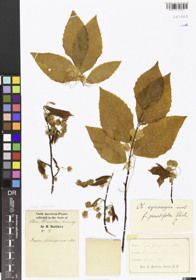 | Fagus grandifolia Ehrh. | 1877 | Matthes,B. | USA, Ohio, Hamilton County, Camden |
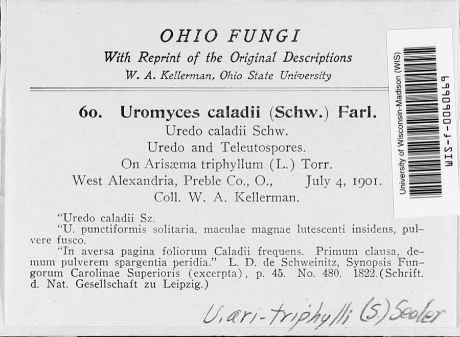 | Uromyces ari-triphylli (Schwein.) Seeler | 1901 | W. A. Kellerman | West Alexandria |
 | Fomes conchatus (Pers.) Gillet | 1917 | Overholts | West Elkton; Base of maple |
 | Uria lomvia lomvia (Linnaeus, 1758) | 1896 | Stewart, R. T. (Robert T.) | Israel Twp, Fairhaven, Preble, Ohio, USA |
 | Phyllosticta Pers., 1818 | 1901 | W. A. Kellerman | |
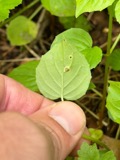 | Puccinia circaeae Pers. | 1901 | W. A. Kellerman | West Alexandria |
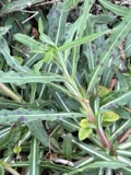 | Septoria oenotherae Westend. | 1901 | W. A. Kellerman | |
 | Uromyces caladii (Schwein.) Farl. | 1901 | W. A. Kellerman | West Alexandria |
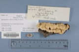 | Polyporus adustus (Willd.) Fr. | 1910 | Overholts L. O. | West Elkton |
 | Polyporus berkeleyi Fr. | 1910 | Overholts L. O. | West Elkton |
 | Polyporus distortus (Schwein.) Fr. | 1910 | Overholts L. O. | West Elkton |
 | Porella platyphylla (L.) Pfeiff. | 1910 | Braun, Lucy E. |
All 707 specimens within 10 miles, at the Global Biodiversity Information Facility.
Mines and quarries near this place
5 within 5 milesRegional context, not property-specific evidence. The federal mineral resources record lists 5 workings within 5 miles of Ingomar: 2 past producers, 2 producers, 1 plant. 3 still produce. What was taken out: Sand and Gravel, Construction. Distance is straight-line from the map coordinates, so a quarry counted here may appear on a neighbouring settlement's page as well.
| Where | Site | Commodity | Status | Recorded |
|---|---|---|---|---|
| Southern Ohio Pit | Sand and Gravel, Construction | Producer | ||
| Stiener Pit | Sand and Gravel, Construction | Past Producer | Sedimentary | |
| Stiener Pit | Sand and Gravel, Construction | Plant | ||
| West Alexandria Pit | Sand and Gravel, Construction | Past Producer | Sedimentary | |
| Wysong Gravel West Alexandria Pit | Sand and Gravel, Construction | Producer |
Storms near this place
2 since 2024Regional context, not property-specific evidence. The National Weather Service names Ingomar in 2 storm reports between 2024 and 2025: 2 thunderstorm wind. No death or injury is recorded in these reports. Each account below is quoted exactly as the forecast office filed it, from the NOAA Storm Events Database, and each date opens the federal record of that event.
| When | Event | Place named | Harm | What the report says |
|---|---|---|---|---|
| July 2024 | Thunderstorm Wind | Ingomar | $10,000 | Several trees and power poles were downed. A barn also lost some roofing material on the northwest corner of U.S. Route 35 and Preble County Line Road. |
| April 2025 | Thunderstorm Wind | Ingomar | $5,000 | A few power poles were downed. |
Nearest settlements
The eight closest, with where each one stands in the county. Distances are straight-line, computed from the Geographic Names Information System coordinates.
| Map | Place | Distance | Sheets |
|---|---|---|---|
| Enterprise | 1.0 miles | 10 | |
| Dadsville | 2.2 miles | 10 | |
| County Line | 2.5 miles | 11 | |
| West Alexandria | 2.8 miles | 10 | |
| New Lexington | 3.8 miles | 8 | |
| Wheatville | 4.4 miles | 10 | |
| Sampleville | 4.6 miles | 10 | |
| Gratis | 4.7 miles | 10 |
Elsewhere
Matched on this settlement's Geographic Names Information System number rather than its name, so it cannot be a different place of the same name in another state.
| Wikipedia article on Ingomar | An encyclopaedic summary. Its text is share-alike, so it is linked here rather than copied. |
| Wikidata item Q22133852 | The structured record the population and elevation above come from. Public domain (CC0). |
Provenance
This settlement is recorded in the Geographic Names Information System as feature 1048863. The sheet list is computed by point-in-boundary test against the United States Geological Survey's historical topographic inventory. Both are works of the United States government and carry no copyright under 17 U.S.C. 105.
Specimens. Global Biodiversity Information Facility (GBIF), https://www.gbif.org/. Only records licensed CC0 or CC BY are used. Records licensed CC BY-NC are excluded because this site carries advertising. Images are checked individually and any whose licence is non-commercial, no-derivatives or unreadable is refused.
Mines and quarries. USGS Mineral Resources Data System (MRDS) https://mrdata.usgs.gov/mrds/ A work of the United States government, no copyright under 17 U.S.C. 105.
Storms. NOAA National Centers for Environmental Information, Storm Events Database https://www.ncei.noaa.gov/stormevents/ A work of the United States government, no copyright under 17 U.S.C. 105. Narratives are quoted verbatim from the National Weather Service report and are not edited or summarised.