 Block
Block
West Alexandria, Ohio
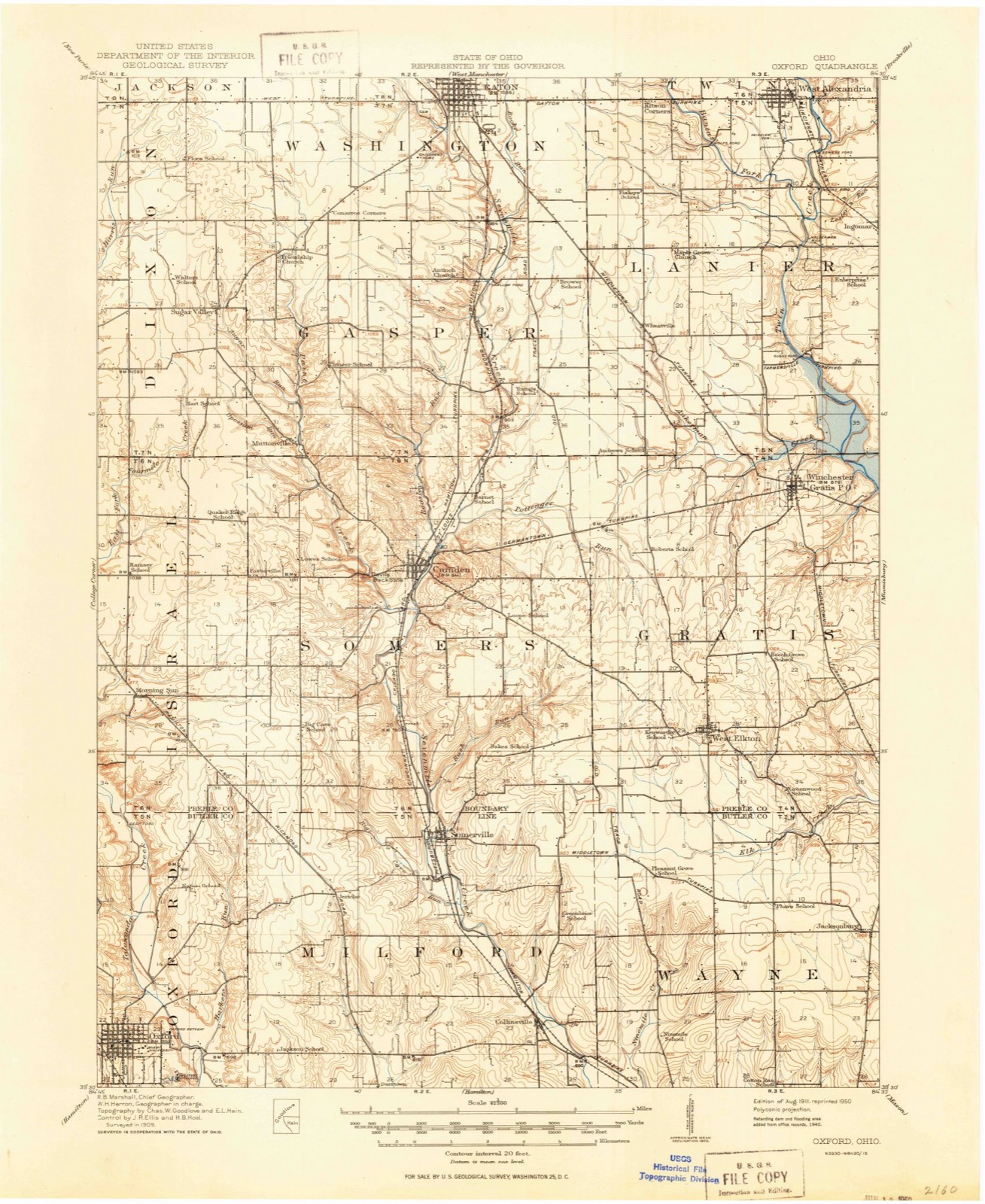
10 topographic sheets cover this place, the earliest surveyed in 1911 and the latest in 1986. It stands in Twin Township. It lies in ZIP code area 45381. It stands on Coffman Run. The Survey maps it on the West Alexandria quadrangle. 1,334 people lived here at the 2020 count.
Population over time
2 figuresWest Alexandria fell from 1,340 to 1,334 between 2010 and 2020. These are the recorded population figures Wikidata holds for this place, reached through the Geographic Names Information System number this page is keyed on rather than by name, so they belong to this place and not to another of the same name. Most are census counts, but not all are: an early figure may be a founding or settlement estimate. The change column is computed, and is left blank where more than 20 years separate a figure from the one before it, because a gap that long is not a change between two counts.
| Year | People | Change |
|---|---|---|
| 2010 | 1,340 | |
| 2020 | 1,334 | -6 (-0%) |
Then and now
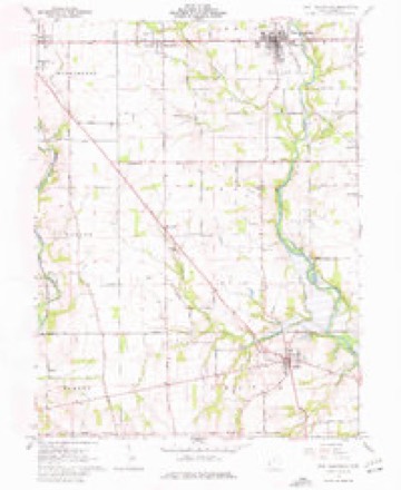
1911 to 1986The same ground, surveyed 75 years apart. Drag the handle to wipe between them. Both sheets are United States Geological Survey originals; neither has been altered.

Compare 1911 against another survey:
Topographic sheets covering this place
10 sheetsMatched by testing this settlement's coordinate against the published boundary of every sheet in the United States Geological Survey's historical collection. Each opens the scanned sheet at the Survey.
- 1911 USGS Oxford quadrangle1:62500
- 1953 USGS Cincinnati quadrangle1:250000
- 1953 USGS Cincinnati quadrangle1:250000
- 1953 USGS Cincinnati quadrangle1:250000
- 1957 USGS Cincinnati quadrangle1:250000
- 1961 USGS West Alexandria quadrangle1:24000
- 1961 USGS West Alexandria quadrangle1:24000
- 1961 USGS West Alexandria quadrangle1:24000
- 1986 USGS Dayton quadrangle1:100000
- 1986 USGS Dayton quadrangle1:100000






In the county-history sources
32,442 words on this townshipHistory of Preble County Ohio, published 1881 names this settlement in its chapter on Twin Township. These are the passages that mention it, exactly as the scans read.
Land similar to this is found in the northern balf of the township, east of Twin, between that stream and Rape's run. The soil here and in the northeastern corner of the township is clay upland, and the forests abound in beech and oak timber, with some shell-bark hickory. More oak is found in the northeast corner than in any other part of the township.
Passage source: History of Preble County Ohio, published 1881.
In the early days of settlement the land, which was owned by the 'Government, was sold in parcels of not less than a section, at two dollars per acre. Of course, many of the early settlers were unable to take so much land, and it became necessary for some one man to buy a section of land, and, after sub-dividing to suit the purchaser, sell it tosettlers; or a number of men would club together, appoint one of their number treasurer, and authorize him to buy a section of land. This was done by many of the early settlers of Twin township. This plan gave abundant opportunities for land sharks, but there is no instance of any fraud of this kind in Twin township. Among the first settlers who entered land in the township, were the Van Winkles, the Millers, and the Keslings, who came in 1804; and the Nisbits, Quinns, Bantas, Whitesells, Rapes, and Ozias, who came about The first permanent settlement in Twin township was made by Simeon Van Winkle. He was born in Georgia, June 5, 1768, and his wife, Phebe, was born in the same State, October 3, 1766. They emigrated to Kentucky, and in February, 1804, came to Ohio and entered section twenty-seven, on which the village of New Lexington now stands. 'They afterwards sold a portion of this land, and retained the northwestern corner, now known as the Ozias farm. They were parents of ten children, five boys and five girls. Mr. Van Winkle gave each of his sons eighty acres of land, upon which each one finally settled. David, the eldest, owned what is now the Copp farm. He lived there for several years, and went to Anderson, Indiana, where he died, in 1872. He is buried in the Baptist graveyard at New Lexington. John, who was active among the early members of the New Light church, used to live on the Solomon Meekley farm. He afterwards emigrated to Missouri, where he died. James, Robert, and Jesse followed David to Anderson, Indiana. Jesse is dead, but James is living in Anderson, Indiana, and Robert is living in that vicinity. Susan, now the widow Robinson, is living in West Alexandria. Louisa is living, and Phebe, Tirza, and Hannah are dead. The Van Winkles were very prominent in the early affairs of the township, in the commuity, and in the Baptist church, of which they were members. Simeon Van Winkle was one of the first township trustees. He donated the ground on which the Baptist church was built, and he and his wife were buried in the adjoining burying-ground. He died in 1831, aged sixty-three years. His wife nearly completed her centennial year, dying September r2, 1866, aged ninety-nine years, eleven months, and nine days. There is now none of the name living in Ohio. Frederick Miller was the next settler in Twin township. He was a native of Virginia, born in 1761. His wife, Elizabeth, was born in 1762. Mr. Miller was a soldier of the Revolution, having served under Washington, and was present at the surrender of Cornwallis, at Yorktown. He subsequently removed to what is now Anderson county, Tennessee. In the fall of 1803 he emigrated to Ohio with his family, which he left at Lebanon, Warren county, while he searched for a suitable location for his new home. In March, 1804, taking with him his daughter Abbie, aged thirteen, and his son, Jacob F., aged eleven, he left Lebanon, and brought a portion of his goods to the place he had chosen for the location of his wilderness home. The way was obstructed by the heavy timber, and the road had to be cut out as they advanced. After several days' weary travelling they arrived on the land whereon their new home was to be built. They built a pole shanty against a coffee-bean tree, which is still standing on the farm of the late James H. Curry, about one hundred yards east of the pike from Lexington to West Alexandria. After seeing that the children were comfortably fixed, Mr. Miller left them in charge of the camp, and returned to Lebanon for the remainder of his family and goods. The brave little guards were not molested by anything, although wild beasts and Indians were plenty at that time. Ra
Passage source: History of Preble County Ohio, published 1881.
Frederick and Elizabeth Miller had 'three sons and two daughters: Sarah, wife of Robert Davidson, died in July, 1880; Abbie lived in Indiana; Jacob F. lived near Lewisburgh, and was at one time county commissioner; he died in 1849; John died in West Alexandria, and Solomon, the only one living, emigrated to Elkhart county, Indiana, where he founded Millersburgh, of which he is at present the postmaster.
Passage source: History of Preble County Ohio, published 1881.
Machine-read from a century-old scan, so expect the errors a machine makes: misspelled names, dropped words, stray characters.
Read the whole chapter on Twin Township - it names this place 47 more 47 times.
Specimens collected near this place
12 of 805 shownRegional context, not property-specific evidence. Museums hold 805 specimens collected within 10 miles of West Alexandria between 1896 and 1974: 766 Animalia, 30 Fungi, 9 Plantae. 12 distinct Species records are shown. Collected by A.R. Gaufin, H.H. Ross, Arden R. Gaufin, B. Fink and others. Each is a physical object with a catalogue number, and each entry opens the museum's record. This is what was collected and kept, not a survey of what lives here - nothing can be concluded from a species being absent.
| Image | Species | Year | Collected by | Where, as recorded |
|---|---|---|---|---|
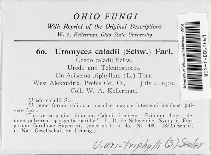 | Uromyces ari-triphylli (Schwein.) Seeler | 1901 | W. A. Kellerman | West Alexandria |
 | Uria lomvia lomvia (Linnaeus, 1758) | 1896 | Stewart, R. T. (Robert T.) | Israel Twp, Fairhaven, Preble, Ohio, USA |
 | Phyllosticta Pers., 1818 | 1901 | W. A. Kellerman | |
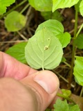 | Puccinia circaeae Pers. | 1901 | W. A. Kellerman | West Alexandria |
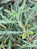 | Septoria oenotherae Westend. | 1901 | W. A. Kellerman | |
 | Uromyces caladii (Schwein.) Farl. | 1901 | W. A. Kellerman | West Alexandria |
 | Porella platyphylla (L.) Pfeiff. | 1910 | Braun, Lucy E. | |
 | Physcia subtilis Degelius | 1914 | B. Fink | Eaton |
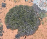 | Scoliciosporum umbrinum (Ach.) Arnold | 1914 | Fink, B. | Eaton |
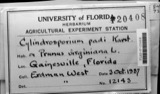 | Cylindrosporium padi P.Karst. | 1922 | Overholts, L. O. | Gratis |
 | Steccherinum pulcherrimum (Berk. & M.A.Curtis) Banker | 1925 | M.L. Lohman | Eaton |
 | Campostoma anomalum anomalum | 1929 | Trautman, M. B. (Milton Bernard) & Foster, R. (Robert) | Sevenmile Creek, within Gasper township, near Camden, Gasper township |
All 805 specimens within 10 miles, at the Global Biodiversity Information Facility.
Mines and quarries near this place
2 within 5 milesRegional context, not property-specific evidence. The federal mineral resources record lists 2 workings within 5 miles of West Alexandria: 1 past producer, 1 producer. 1 still produces. What was taken out: Sand and Gravel, Construction. Distance is straight-line from the map coordinates, so a quarry counted here may appear on a neighbouring settlement's page as well.
| Where | Site | Commodity | Status | Recorded |
|---|---|---|---|---|
| West Alexandria Pit | Sand and Gravel, Construction | Past Producer | Sedimentary | |
| Wysong Gravel West Alexandria Pit | Sand and Gravel, Construction | Producer |
Storms near this place
13 since 1998Regional context, not property-specific evidence. The National Weather Service names West Alexandria in 13 storm reports between 1998 and 2014: 9 thunderstorm wind, 3 hail, 1 flash flood. No death or injury is recorded in these reports. Each account below is quoted exactly as the forecast office filed it, from the NOAA Storm Events Database, and each date opens the federal record of that event.
| When | Event | Place named | Harm | What the report says |
|---|---|---|---|---|
| November 1998 | Thunderstorm Wind | West Alexandria | $10,000 | A silo was blown over by the strong winds. |
| April 2000 | Thunderstorm Wind | West Alexandria | $5,000 | Trees downed. |
| June 2006 | Thunderstorm Wind | West Alexandria | $3,000 | A few trees were knocked down. |
| May 2006 | Thunderstorm Wind | West Alexandria | $3,000 | A few trees and large limbs were downed. |
| June 2000 | Thunderstorm Wind | West Alexandria | $3,000 | Several trees and phone lines were downed. |
| September 2011 | Thunderstorm Wind | West Alexandria | $2,000 | Trees were reported down due to damaging thunderstorm winds. |
| June 2014 | Flash Flood | West Alexandria | $1,000 | A rushing stream was inundating a roadway due to heavy rainfall. |
| June 2010 | Thunderstorm Wind | West Alexandria | $1,000 | Two trees were reported down due to damaging thunderstorm winds. |
| June 2000 | Thunderstorm Wind | West Alexandria | $1,000 | Trees and powerlines were blown down. |
| July 1999 | Thunderstorm Wind | West Alexandria | - | Winds gusted to 70 mph. |
| March 2012 | Hail | West Alexandria | - | no account filed |
| April 2011 | Hail | West Alexandria | - | no account filed |
| May 2003 | Hail | West Alexandria | - | no account filed |
Nearest settlements
The eight closest, with where each one stands in the county. Distances are straight-line, computed from the Geographic Names Information System coordinates.
| Map | Place | Distance | Sheets |
|---|---|---|---|
| New Lexington | 1.1 miles | 8 | |
| Dadsville | 1.7 miles | 10 | |
| Sampleville | 2.3 miles | 10 | |
| Ransom | 2.6 miles | 10 | |
| County Line | 2.7 miles | 11 | |
| Ingomar | 2.8 miles | 11 | |
| Enterprise | 3.7 miles | 10 | |
| Wheatville | 4.5 miles | 10 |
Elsewhere
Matched on this settlement's Geographic Names Information System number rather than its name, so it cannot be a different place of the same name in another state.
| Wikipedia article on West Alexandria | An encyclopaedic summary. Its text is share-alike, so it is linked here rather than copied. |
| Wikidata item Q2218011 | The structured record the population and elevation above come from. Public domain (CC0). |
Provenance
This settlement is recorded in the Geographic Names Information System as feature 1061732. The sheet list is computed by point-in-boundary test against the United States Geological Survey's historical topographic inventory. Both are works of the United States government and carry no copyright under 17 U.S.C. 105.
Specimens. Global Biodiversity Information Facility (GBIF), https://www.gbif.org/. Only records licensed CC0 or CC BY are used. Records licensed CC BY-NC are excluded because this site carries advertising. Images are checked individually and any whose licence is non-commercial, no-derivatives or unreadable is refused.
Mines and quarries. USGS Mineral Resources Data System (MRDS) https://mrdata.usgs.gov/mrds/ A work of the United States government, no copyright under 17 U.S.C. 105.
Storms. NOAA National Centers for Environmental Information, Storm Events Database https://www.ncei.noaa.gov/stormevents/ A work of the United States government, no copyright under 17 U.S.C. 105. Narratives are quoted verbatim from the National Weather Service report and are not edited or summarised.