 Block
Block
Jackson Center, Ohio
15 topographic sheets cover this place, the earliest surveyed in 1913 and the latest in 1986. It stands in Jackson Township. It lies in ZIP code area 45334. The Survey maps it on the Jackson Center quadrangle. 1,441 people lived here at the 2020 count. It stands 1,027 feet above sea level.
Population over time
2 figuresJackson Center fell from 1,462 to 1,441 between 2010 and 2020. These are the recorded population figures Wikidata holds for this place, reached through the Geographic Names Information System number this page is keyed on rather than by name, so they belong to this place and not to another of the same name. Most are census counts, but not all are: an early figure may be a founding or settlement estimate. The change column is computed, and is left blank where more than 20 years separate a figure from the one before it, because a gap that long is not a change between two counts.
| Year | People | Change |
|---|---|---|
| 2010 | 1,462 | |
| 2020 | 1,441 | -21 (-1%) |
Then and now
1913 to 1986The same ground, surveyed 73 years apart. Drag the handle to wipe between them. Both sheets are United States Geological Survey originals; neither has been altered.

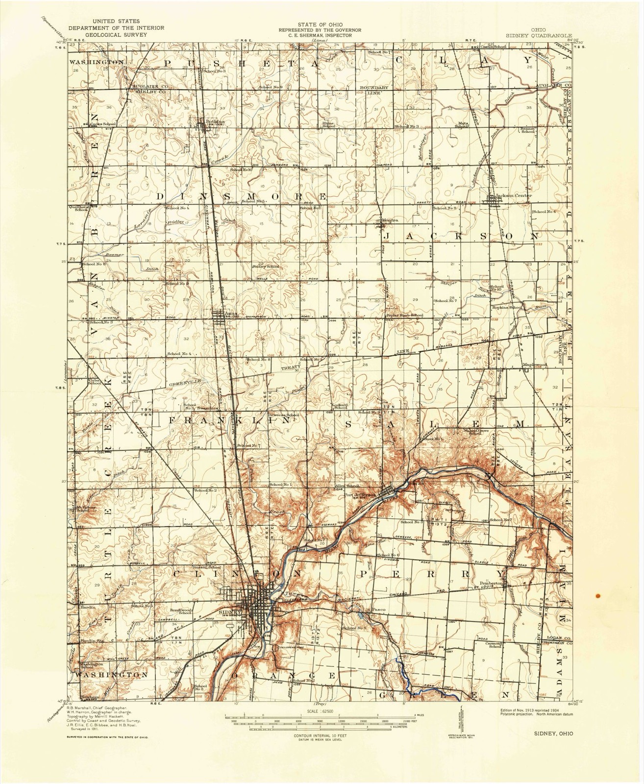
Topographic sheets covering this place
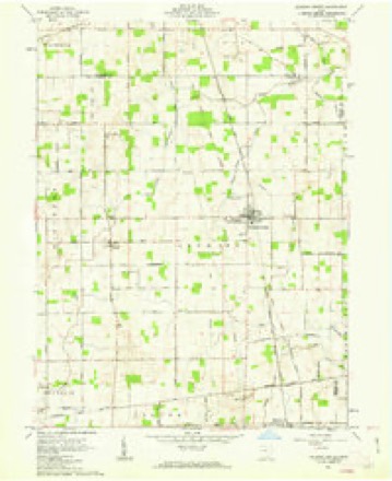
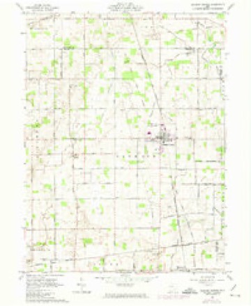
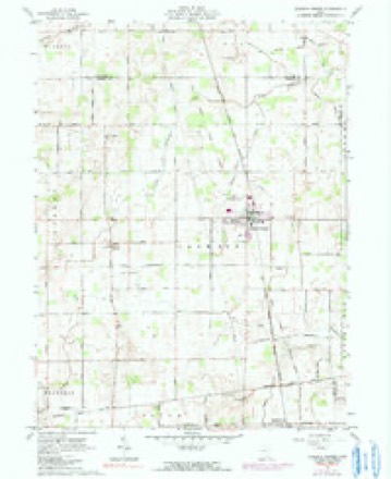
15 sheetsMatched by testing this settlement's coordinate against the published boundary of every sheet in the United States Geological Survey's historical collection. Each opens the scanned sheet at the Survey.
- 1913 USGS Sidney quadrangle1:62500
- 1913 USGS Sidney quadrangle1:62500
- 1944 USGS Sidney quadrangle1:62500
- 1953 USGS Muncie quadrangle1:250000
- 1953 USGS Muncie quadrangle1:250000
- 1953 USGS Muncie quadrangle1:250000
- 1953 USGS Muncie quadrangle1:250000
- 1953 USGS Muncie quadrangle1:250000
- 1956 USGS Muncie quadrangle1:250000
- 1961 USGS Jackson Center quadrangle1:24000
- 1961 USGS Jackson Center quadrangle1:24000
- 1961 USGS Jackson Center quadrangle1:24000
- 1986 USGS Piqua quadrangle1:100000
- 1986 USGS Piqua quadrangle1:100000
- 1986 USGS Piqua quadrangle1:100000









In the county-history sources
13,758 words on this townshipHistory of Shelby County, Ohio, published 1883 names this settlement in its chapter on Jackson Township. These are the passages that mention it, exactly as the scans read.
Pherson survey, and about a year later George Hawver came from the same county and settled in the same survey. Aside from these classified settlers, it appears the following named persons settled in different parts of the township prior to 1»36, although the individual dates cannot be obtained with certainty: Mathew Vandine, Timothy Wale. Julius Wale, Moses Quick, Kimmer Hudson, Henry Roland, Lewis Bland, Reuben Clayton, and Wm. Dawdon. It further appears pretty conclusive that Jacob II. and David Babcock came here in 1840, and Luther L. Davis in 1837. Although these dates are all comparatively recent, they represent the infantile years of this township, and while they were not necessarily characterized by the same privations suffered in the older townships, they were yet years of distinctive toil and no inconsiderable penury. Vast drainage was necessary, and is yet incomplete, while heavy timber knew no bounds. It was real pioneer life with ail its incidents and most of its deprivations. Here, as elsewhere throughout the county, the pioneer knew how to work, and bravely encountered the elements while contending with the wilderness by which he was surrounded.
Passage source: History of Shelby County, Ohio, published 1883.
The first mill in Jackson Township was erected about 1839 by Daniel Davis on the north half of the southeast quarter of section 3. It was known as the horse mill, on which he made wheat flour, buckwheat flour, and corn meal.
Passage source: History of Shelby County, Ohio, published 1883.
The McCord and Slusser saw-mill is located on the east half of the northeast quarter of section 33. It was erected in 1866 by McCord and Slusser, who operated it until 1881, when H. Munch purchased Mr. Slusser's interest, and the mill is now operated by McCord and Munch.
Passage source: History of Shelby County, Ohio, published 1883.
Machine-read from a century-old scan, so expect the errors a machine makes: misspelled names, dropped words, stray characters.
Read the whole chapter on Jackson Township - it names this place 3 more 3 times.
Specimens collected near this place
10 of 23 shownRegional context, not property-specific evidence. Museums hold 23 specimens collected within 10 miles of Jackson Center between 1938 and 1964: 23 Animalia. 10 distinct Species records are shown. Collected by Porter, T. W., R. Rhoades, Troutman, K. R. (K. Roger), McLean, E. B. (E. Bruce) & Jezerinac, R. F. (Raymond Felix). Each is a physical object with a catalogue number, and each entry opens the museum's record. This is what was collected and kept, not a survey of what lives here - nothing can be concluded from a species being absent.
| Image | Species | Year | Collected by | Where, as recorded |
|---|---|---|---|---|
 | Orconectes rusticus (Girard, 1852) | 1938 | R. Rhoades | Laramie Creek, Sec. 4, Dinsmore Township |
| Trichoptera | 1950 | Porter, T. W. | Port Jefferson | |
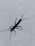 | Allocapnia vivipara (Claassen, 1924) | 1952 | not recorded | 47-Miami River |
 | Etheostoma nigrum nigrum Rafinesque, 1820 | 1964 | Troutman, K. R. (K. Roger), McLean, E. B. (E. Bruce) & Jezerinac, R. F. (Raymond Felix) | Plum Run, at SR-47, 2.7 mi W of Port Jefferson, Salem township |
 | Micropterus dolomieu dolomieu Lacepède, 1802 | 1964 | Troutman, K. R. (K. Roger), McLean, E. B. (E. Bruce) & Jezerinac, R. F. (Raymond Felix) | Plum Run, at SR-47, 2.7 mi W of Port Jefferson, Salem township |
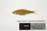 | Notropis chrysocephalus (Rafinesque, 1820) | 1964 | Troutman, K. R. (K. Roger), McLean, E. B. (E. Bruce) & Jezerinac, R. F. (Raymond Felix) | Plum Run, at SR-47, 2.7 mi W of Port Jefferson, Salem township |
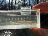 | Notropis photogenis (Cope, 1865) | 1964 | Troutman, K. R. (K. Roger), McLean, E. B. (E. Bruce) & Jezerinac, R. F. (Raymond Felix) | Plum Run, at SR-47, 2.7 mi W of Port Jefferson, Salem township |
 | Notropis stramineus (Cope, 1865) | 1964 | Troutman, K. R. (K. Roger), McLean, E. B. (E. Bruce) & Jezerinac, R. F. (Raymond Felix) | Plum Run, at SR-47, 2.7 mi W of Port Jefferson, Salem township |
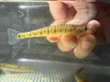 | Percina caprodes (Rafinesque, 1818) | 1964 | Troutman, K. R. (K. Roger), McLean, E. B. (E. Bruce) & Jezerinac, R. F. (Raymond Felix) | Plum Run, at SR-47, 2.7 mi W of Port Jefferson, Salem township |
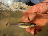 | Pimephales notatus (Rafinesque, 1820) | 1964 | Troutman, K. R. (K. Roger), McLean, E. B. (E. Bruce) & Jezerinac, R. F. (Raymond Felix) | Plum Run, at SR-47, 2.7 mi W of Port Jefferson, Salem township |
All 23 specimens within 10 miles, at the Global Biodiversity Information Facility.
Storms near this place
23 since 1998Regional context, not property-specific evidence. The National Weather Service names Jackson Center in 23 storm reports between 1998 and 2025: 11 thunderstorm wind, 8 hail, 2 flash flood, 1 heavy rain. No death or injury is recorded in these reports. Each account below is quoted exactly as the forecast office filed it, from the NOAA Storm Events Database, and each date opens the federal record of that event.
| When | Event | Place named | Harm | What the report says |
|---|---|---|---|---|
| July 1999 | Thunderstorm Wind | Jackson Center | $25,000 | Roofs were damaged on several buildings and trees were knocked down. |
| May 2025 | Thunderstorm Wind | Jackson Center | $15,000 | A grain bin was blown off of its base and destroyed. Another grain bin sustained damage to its top panels. |
| September 2024 | Thunderstorm Wind | Jackson Center | $10,000 | A tree fell onto a vehicle. |
| December 2013 | Thunderstorm Wind | Jackson Center | $10,000 | A barn was heavily damaged due to thunderstorm winds. |
| August 2007 | Thunderstorm Wind | Jackson Center | $3,000 | Several large tree limbs were downed. |
| June 1998 | Thunderstorm Wind | Jackson Center | $3,000 | Numerous trees downed. |
| July 2023 | Thunderstorm Wind | Jackson Center | $200 | Several large branches were downed. |
| May 2019 | Flash Flood | Jackson Center | - | Flowing water was completely covering Main Street and Pike Street. |
| June 2019 | Flood | Jackson Center | - | Roads were closed due to high water in Jackson Center along State Route 274. |
| May 2019 | Flash Flood | Jackson Center | - | Two to three feet of water was reported on Robb Avenue. |
| June 2017 | Thunderstorm Wind | Jackson Center | - | Several trees were knocked down in the Jackson Center area. |
| November 2011 | Heavy Rain | Jackson Center | - | Street flooding was reported at the intersection of College Street and Buchanan Street and at another nearby intersection due to heavy rain. |
| September 2009 | Hail | Jackson Center | - | Hail ranged in size from one inch to one and a quarter inches. |
| May 2025 | Hail | Jackson Center | - | no account filed |
| May 2025 | Hail | Jackson Center | - | no account filed |
| March 2024 | Hail | Jackson Center | - | no account filed |
| March 2024 | Hail | Jackson Center | - | no account filed |
| March 2024 | Hail | Jackson Center | - | no account filed |
| June 2013 | Hail | Jackson Center | - | no account filed |
| November 2013 | Thunderstorm Wind | Jackson Center | - | no account filed |
| October 2012 | Hail | Jackson Center | - | no account filed |
| May 2011 | Thunderstorm Wind | Jackson Center | - | no account filed |
| June 2010 | Thunderstorm Wind | Jackson Center | - | no account filed |
Nearest settlements
The eight closest, with where each one stands in the county. Distances are straight-line, computed from the Geographic Names Information System coordinates.
| Map | Place | Distance | Sheets |
|---|---|---|---|
| Montra | 2.9 miles | 15 | |
| Maplewood | 4.4 miles | 15 | |
| Northumberland (historical) | 7.5 miles | 15 | |
| Anna | 7.7 miles | 15 | |
| Botkins | 7.7 miles | 15 | |
| Port Jefferson | 8.2 miles | 15 | |
| Swanders | 8.9 miles | 15 | |
| Pemberton | 10.0 miles | 15 |
Elsewhere
Matched on this settlement's Geographic Names Information System number rather than its name, so it cannot be a different place of the same name in another state.
| Wikipedia article on Jackson Center | An encyclopaedic summary. Its text is share-alike, so it is linked here rather than copied. |
| Wikidata item Q1677332 | The structured record the population and elevation above come from. Public domain (CC0). |
Provenance
This settlement is recorded in the Geographic Names Information System as feature 1065697. The sheet list is computed by point-in-boundary test against the United States Geological Survey's historical topographic inventory. Both are works of the United States government and carry no copyright under 17 U.S.C. 105.
Specimens. Global Biodiversity Information Facility (GBIF), https://www.gbif.org/. Only records licensed CC0 or CC BY are used. Records licensed CC BY-NC are excluded because this site carries advertising. Images are checked individually and any whose licence is non-commercial, no-derivatives or unreadable is refused.
Storms. NOAA National Centers for Environmental Information, Storm Events Database https://www.ncei.noaa.gov/stormevents/ A work of the United States government, no copyright under 17 U.S.C. 105. Narratives are quoted verbatim from the National Weather Service report and are not edited or summarised.