 Block
Block
Maplewood, Ohio
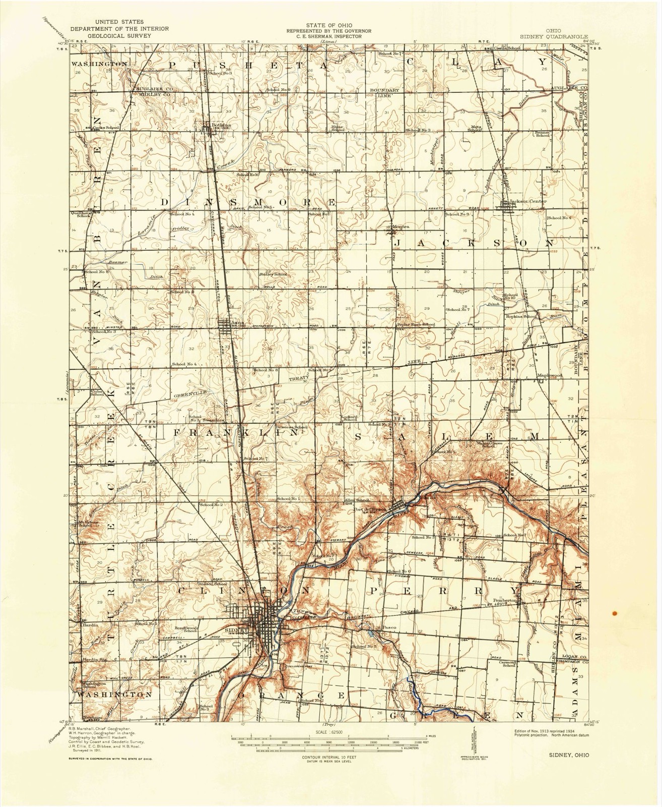
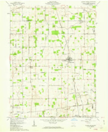
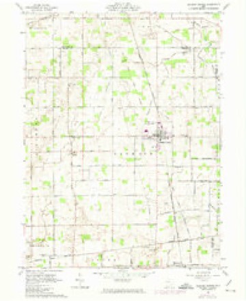
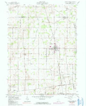
15 topographic sheets cover this place, the earliest surveyed in 1913 and the latest in 1986. It stands in Salem Township. It lies in ZIP code area 45340. The Survey maps it on the Jackson Center quadrangle. It stands 1,033 feet above sea level.
Then and now
1913 to 1986The same ground, surveyed 73 years apart. Drag the handle to wipe between them. Both sheets are United States Geological Survey originals; neither has been altered.

Topographic sheets covering this place
15 sheetsMatched by testing this settlement's coordinate against the published boundary of every sheet in the United States Geological Survey's historical collection. Each opens the scanned sheet at the Survey.
- 1913 USGS Sidney quadrangle1:62500
- 1913 USGS Sidney quadrangle1:62500
- 1944 USGS Sidney quadrangle1:62500
- 1953 USGS Muncie quadrangle1:250000
- 1953 USGS Muncie quadrangle1:250000
- 1953 USGS Muncie quadrangle1:250000
- 1953 USGS Muncie quadrangle1:250000
- 1953 USGS Muncie quadrangle1:250000
- 1956 USGS Muncie quadrangle1:250000
- 1961 USGS Jackson Center quadrangle1:24000
- 1961 USGS Jackson Center quadrangle1:24000
- 1961 USGS Jackson Center quadrangle1:24000
- 1986 USGS Piqua quadrangle1:100000
- 1986 USGS Piqua quadrangle1:100000
- 1986 USGS Piqua quadrangle1:100000









In the county-history sources
18,336 words on this townshipThe county-history sources names this settlement in its chapter on Salem Township. These are the passages that mention it, exactly as the scans read.
Machine-read from a century-old scan, so expect the errors a machine makes: misspelled names, dropped words, stray characters.
Read the whole chapter on Salem Township - it names this place 1 more 1 time.
Specimens collected near this place
12 of 182 shownRegional context, not property-specific evidence. Museums hold 182 specimens collected within 10 miles of Maplewood between 1897 and 1967: 150 Animalia, 19 Fungi, 12 Plantae, 1 Unrecorded. 12 distinct Species records are shown. Collected by A. R. Gaufin, A.R. Gaufin, A.R. Gaufin, H.H. Ross and others. Each is a physical object with a catalogue number, and each entry opens the museum's record. This is what was collected and kept, not a survey of what lives here - nothing can be concluded from a species being absent.
| Image | Species | Year | Collected by | Where, as recorded |
|---|---|---|---|---|
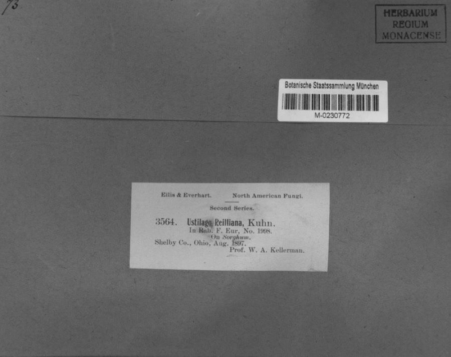 | Sorghum Moench | 1897 | Kellerman, W.A. | Shelby Co., Ohio. |
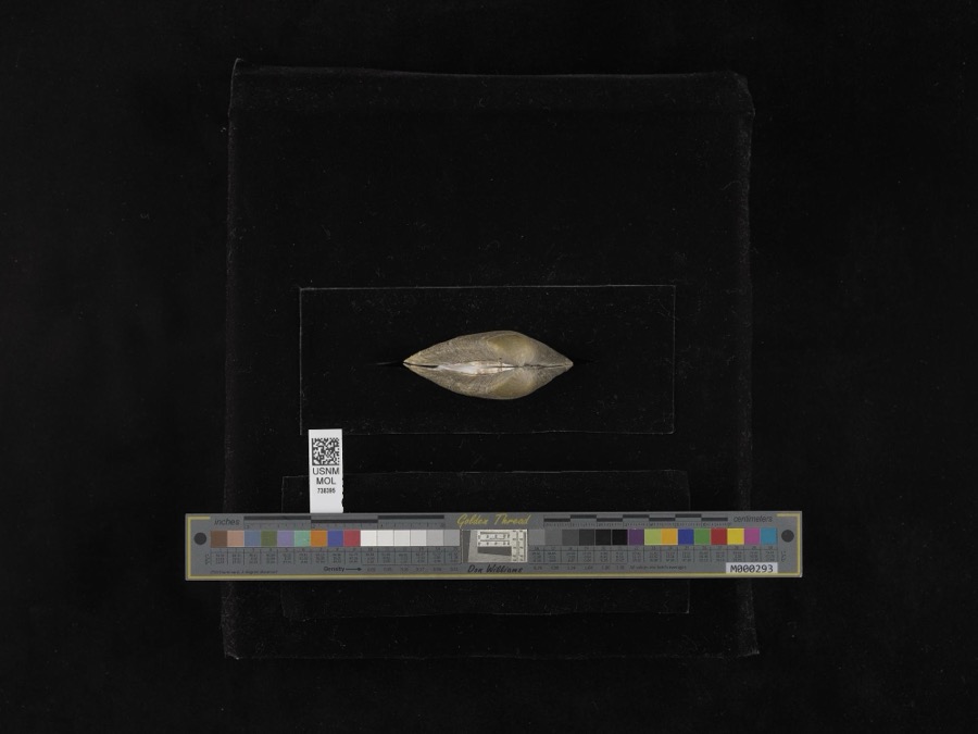 | Fusconaia flava (Rafinesque, 1820) | 1939 | not recorded | Miami River |
| unnamed | 1897 | WA Kellerman | Shelby County | |
| Sorosporium reilianum (J.G.Kühn) McAlpine | 1897 | W. A. Kellerman | ||
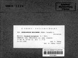 | Sphacelotheca reiliana (J.G.Kühn) G.P.Clinton | 1897 | Kellerman W. A. | Shelby Co. |
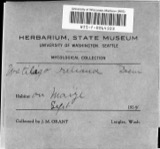 | Ustilago reiliana J.G.Kühn | 1897 | Kellerman, W.A. | Shelby County, Ohio. |
 | Accipiter cooperii (Bonaparte, 1828) | 1904 | Henninger, W. F. (Walther Frederick) | New Bremen, Shelby, Ohio, USA |
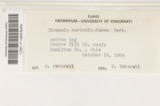 | Hirneola auricula-judae (Bull.) Berk. | 1909 | Fisher G. Clyde | Sidney |
 | Gymnosporangium juniperi-virginianae Schwein. | 1914 | Russell A. B. | Sidney |
| Phyllosticta vincae-minoris Bres. & Krieg. | 1914 | The Wagner Park Nursery Co. | Sidney | |
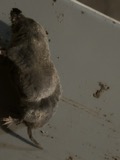 | Blarina brevicauda talpoides (Gapper, 1830) | 1915 | Henninger | Shelby Co., Ohio, USA |
 | Didelphis virginiana Kerr, 1792 | 1915 | not recorded | Shelby Co., Ohio, USA |
All 182 specimens within 10 miles, at the Global Biodiversity Information Facility.
Storms near this place
5 since 2013Regional context, not property-specific evidence. The National Weather Service names Maplewood in 5 storm reports between 2013 and 2023: 4 thunderstorm wind, 1 hail. No death or injury is recorded in these reports. Each account below is quoted exactly as the forecast office filed it, from the NOAA Storm Events Database, and each date opens the federal record of that event.
| When | Event | Place named | Harm | What the report says |
|---|---|---|---|---|
| July 2023 | Thunderstorm Wind | Maplewood | $20,000 | A house on Maplewood Road had a garage door blown in and roof damage. An outbuilding was also damaged. |
| July 2020 | Thunderstorm Wind | Maplewood | $6,000 | Numerous trees and power lines were downed. Two flag poles were also bent in half. |
| March 2020 | Thunderstorm Wind | Maplewood | $250 | A small tree was downed. |
| July 2014 | Hail | Maplewood | - | no account filed |
| October 2013 | Thunderstorm Wind | Maplewood | - | no account filed |
Nearest settlements
The eight closest, with where each one stands in the county. Distances are straight-line, computed from the Geographic Names Information System coordinates.
| Map | Place | Distance | Sheets |
|---|---|---|---|
| Jackson Center | 4.4 miles | 15 | |
| Port Jefferson | 4.9 miles | 15 | |
| Montra | 5.3 miles | 15 | |
| Pemberton | 5.6 miles | 15 | |
| Pasco | 7.5 miles | 15 | |
| Swanders | 7.9 miles | 15 | |
| Anna | 7.9 miles | 15 | |
| Sidney | 9.4 miles | 15 |
Elsewhere
Matched on this settlement's Geographic Names Information System number rather than its name, so it cannot be a different place of the same name in another state.
| Wikipedia article on Maplewood | An encyclopaedic summary. Its text is share-alike, so it is linked here rather than copied. |
| Wikidata item Q6754095 | The structured record the population and elevation above come from. Public domain (CC0). |
Provenance
This settlement is recorded in the Geographic Names Information System as feature 1061469. The sheet list is computed by point-in-boundary test against the United States Geological Survey's historical topographic inventory. Both are works of the United States government and carry no copyright under 17 U.S.C. 105.
Specimens. Global Biodiversity Information Facility (GBIF), https://www.gbif.org/. Only records licensed CC0 or CC BY are used. Records licensed CC BY-NC are excluded because this site carries advertising. Images are checked individually and any whose licence is non-commercial, no-derivatives or unreadable is refused.
Storms. NOAA National Centers for Environmental Information, Storm Events Database https://www.ncei.noaa.gov/stormevents/ A work of the United States government, no copyright under 17 U.S.C. 105. Narratives are quoted verbatim from the National Weather Service report and are not edited or summarised.