 Block
Block
Rittman, Ohio
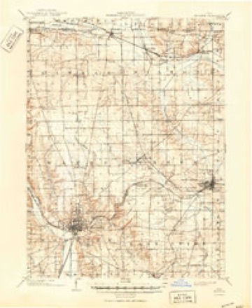
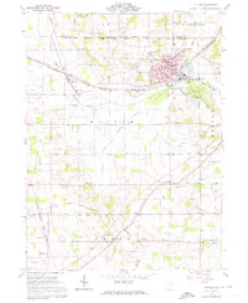
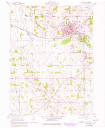
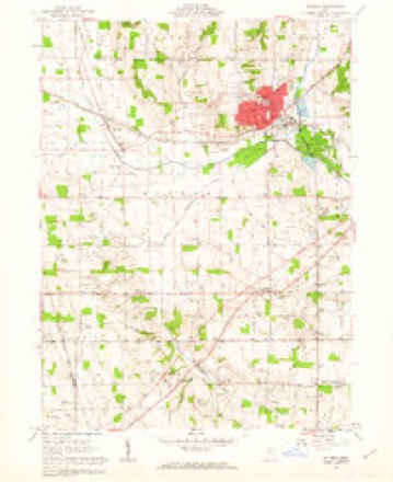
16 topographic sheets cover this place, the earliest surveyed in 1901 and the latest in 1994. It stands in Rittman City. It lies in ZIP code area 44270. It stands on Little Chippewa Creek. The Survey maps it on the Rittman quadrangle. 6,131 people lived here at the 2020 count. It stands 981 feet above sea level.
Then and now
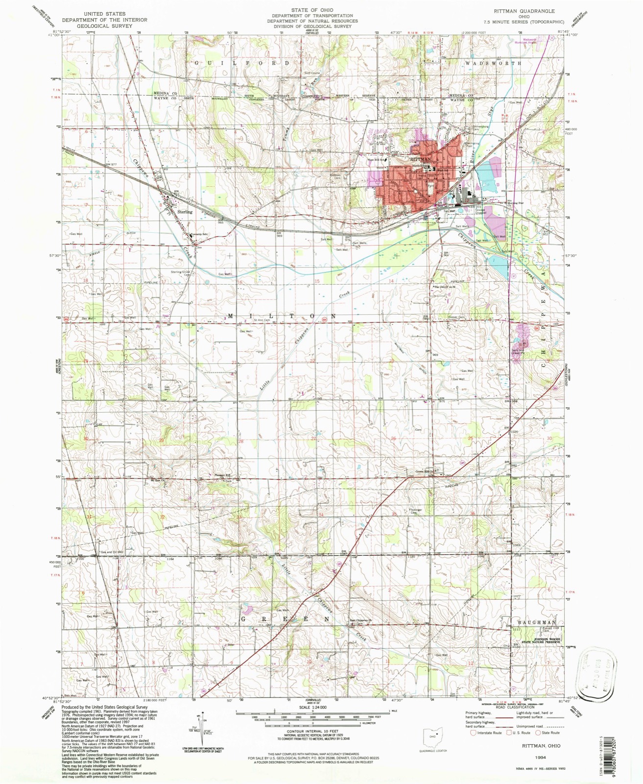
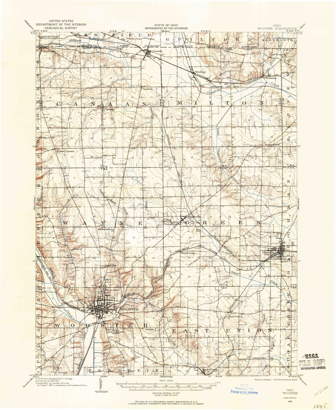
1901 to 1994The same ground, surveyed 93 years apart. Drag the handle to wipe between them. Both sheets are United States Geological Survey originals; neither has been altered.
Topographic sheets covering this place
16 sheetsMatched by testing this settlement's coordinate against the published boundary of every sheet in the United States Geological Survey's historical collection. Each opens the scanned sheet at the Survey.
- 1901 USGS Wooster quadrangle1:62500
- 1903 USGS Wooster quadrangle1:62500
- 1903 USGS Wooster quadrangle1:62500
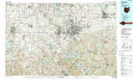
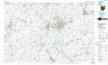
- 1951 USGS Canton quadrangle1:250000
- 1953 USGS Canton quadrangle1:250000
- 1957 USGS Canton quadrangle1:250000
- 1957 USGS Canton quadrangle1:250000
- 1957 USGS Canton quadrangle1:250000
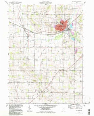
- 1961 USGS Rittman quadrangle1:24000
- 1961 USGS Rittman quadrangle1:24000
- 1961 USGS Rittman quadrangle1:24000
- 1962 USGS Canton quadrangle1:250000
- 1962 USGS Canton quadrangle1:250000
- 1986 USGS Canton quadrangle1:100000
- 1986 USGS Canton quadrangle1:100000
- 1994 USGS Rittman quadrangle1:24000







Specimens collected nearby
12 of 58 shownMuseums hold 58 specimens collected within 10 miles of Rittman between 1896 and 1973: 32 Animalia, 21 Plantae, 3 Fungi, 2 Chromista. 12 distinct Species records are shown. Collected by A C ALLEN, Bruce, J. A., Collector(s): Woodrow W. Goodpaster and others. Each is a physical object with a catalogue number, and each entry opens the museum's record. This is what was collected and kept, not a survey of what lives here - nothing can be concluded from a species being absent.
| Image | Species | Year | Collected by | Where, as recorded |
|---|---|---|---|---|
 | Cercosporina apii (Fresen.) Miura | 1896 | Selby A. D. | Creston |
 | Pseudoperonospora cubensis (Berk. & M.A.Curtis) Rostovzev | 1897 | Selby, A. D. | Creston |
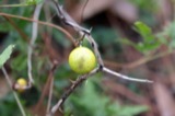 | Solanum carolinense L. | 1898 | Duvel, J.W.T | Creston |
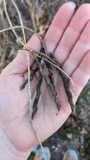 | Apios americana Medik. | 1899 | Selby, A.D. | Doner's Lake |
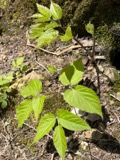 | Aralia racemosa L. | 1899 | Selby, A.D. | Rogue's Hollow, Chippewa Township |
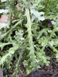 | Aster simplex C.C.Chang | 1899 | Selby, A.D. | near Smithville |
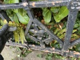 | Athyrium filix-femina var. angustum (Willd.) G.Lawson | 1899 | Selby, A.D.; Duvel, J.W. | Fox Lake |
| Cicuta maculata L. | 1899 | Selby, A.D.; Duvel, J.W.T | near Fox Lake | |
| Eleocharis intermedia Schult. | 1899 | Selby, A.D.; Duvel, J.W.T. | Fox Lake | |
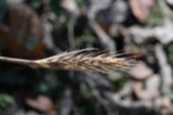 | Elymus virginicus L. | 1899 | Selby, A.D. | by Chippewa Creek, Easton |
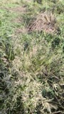 | Eragrostis pectinacea (Michx.) Nees ex Steud. | 1899 | Selby, A.D. | Sterling |
| Helianthus doronicoides Lam. | 1899 | Duvel, J.W.T | near Orrville |
All 58 specimens within 10 miles, at the Global Biodiversity Information Facility.
Mines and quarries nearby
1 within 5 milesThe federal mineral resources record lists 1 working within 5 miles of Rittman: 1 plant. All of them still produce. What was taken out: Sand and Gravel, Construction. Distance is straight-line from the map coordinates, so a quarry counted here may appear on a neighbouring settlement's page as well.
| Where | Site | Commodity | Status | Recorded |
|---|---|---|---|---|
| Zollinger Pit & Mill | Sand and Gravel, Construction | Plant |
Storms nearby
28 since 1995The National Weather Service names Rittman in 28 storm reports between 1995 and 2026: 13 hail, 11 thunderstorm wind, 3 flash flood, 1 tornado. No death or injury is recorded in these reports. Each account below is quoted exactly as the forecast office filed it, from the NOAA Storm Events Database, and each date opens the federal record of that event.
| When | Event | Place named | Harm | What the report says |
|---|---|---|---|---|
| June 2019 | Flash Flood | Rittman | $250,000 | State of Emergency declared in Rittman due to flooding on June 17. Flash flooding stranded cars and closed the citys only grocery store in Rittman. Around 5 a.m. the Landis Ditch, which runs past the Rittman Shopping Center, breached its banks and quickly flooded the above streets and flooded the businesses in the plaza including the Rittman IGA. The Chippewa Creek also exceeded its banks at a 100 year level, about 8 feet above normal. Water was approximately 3.5 feet deep on Whitman Road between Porr and the railroad tracks. Numerous vehicles stalled in flood waters and needed water rescues. Most flood damages occurred along Main Street and along Industrial and Ohio avenues by Marathon, with the worst areas landing around Seneca and State streets. A couple families were cut off from their homes as a result of the flooding. Flood waters receded by 1130 am. |
| August 2007 | Flash Flood | Rittman | $250,000 | Heavy rain fell across the area during the morning of the 20th and caused flash flooding across primarily northeast portions of the county. Some homes had water flowing into the basements, and a strip mall in the area was also flooded. Enough homes in the area were flooded out that a shelter was opened in Rittman for the flood victims. Rainfall amounts varied significantly across the northern half of Wayne County for this event. While the Wayne County Airport picked up only 0.86 inches between 4 pm Sunday and 4 pm Monday, rainfall reports just north of Rittman into southern Medina County indicate that between 2.0 and 4.0 inches of rain fell there during that same time period. |
| July 1999 | Tornado (F1) | Rittman | $150,000 | The tornado touched down on the southeast corner of the town of Rittman then traveled east toward Hatfield Road and Ohio 94 where it flattened an apple orchard. Several buildings were also damaged in the vicinity of the orchard including a small concrete block building which was completely destroyed. The roofs of several other buildings were severely damaged. From the site of the orchard, the tornado traveled east and knocked down many trees before finally dissipating near Doylestown. Eye witness reports and damage surveys indicate that the tornado was slightly aloft during a good part of its life cycle. |
| August 2007 | Thunderstorm Wind | Rittman | $100,000 | Numerous trees, utility poles and power lines were reported down. Trained spotters also reported that two homes had trees fall onto them. |
| April 2002 | Hail | Rittman | $40,000 | Dime to nearly golf ball size hail was reported. Several vehicles were damaged. |
| June 2011 | Thunderstorm Wind | Rittman | $20,000 | Thunderstorm winds downed a large tree onto a garage. Several large trees were downed in a local cemetery. |
| September 2014 | Thunderstorm Wind | Rittman | $15,000 | Thunderstorm winds downed several trees west of Rittman on Doylestown Road. A funnel cloud was observed in the area but no evidence of a touchdown was found. |
| July 2011 | Thunderstorm Wind | Rittman | $10,000 | Thunderstorm winds downed several large trees. |
| June 1998 | Thunderstorm Wind | Rittman | $10,000 | Many large limbs were downed on a house near Rittman. |
| August 1998 | Thunderstorm Wind | Rittman | $7,000 | Trees and power lines were downed. |
| June 2008 | Thunderstorm Wind | Rittman | $3,000 | Thunderstorm winds downed several large tree limbs. |
| August 1997 | Thunderstorm Wind | Rittman | $3,000 | Large branches and power lines were downed. |
| July 1995 | Thunderstorm Wind | Rittman | $2,000 | Large tree limbs were downed. |
| July 2010 | Thunderstorm Wind | Rittman | $1,000 | Thunderstorm winds downed a large tree. |
| March 2026 | Hail | Rittman | - | Hail up to quarter-size in Rittman. |
| June 2021 | Thunderstorm Wind | Rittman | - | Several large tree limbs down about three miles WSW of Rittman. |
| May 2017 | Hail | Rittman | - | Nickel sized hail was observed. |
| September 2012 | Hail | Rittman | - | Nickel sized hail was observed. |
| August 2011 | Hail | Rittman | - | Penny sized hail was observed. |
| August 2011 | Hail | Rittman | - | Quarter sized hail was reported. |
| September 2011 | Hail | Rittman | - | Penny sized hail was observed. |
| August 2008 | Hail | Rittman | - | Penny size hail was observed. |
| May 2004 | Hail | Rittman | - | Penny to nickel size hail was observed. |
| May 2004 | Hail | Rittman | - | Penny size hail was observed. |
| June 2003 | Hail | Rittman | - | Penny size hail was observed. |
| June 1996 | Hail | Rittman | - | no account filed |
| July 1996 | Hail | Rittman | - | no account filed |
| May 1996 | Flash Flood | Rittman | - | no account filed |
Nearest settlements
The eight closest, with where each one stands in the county. Distances are straight-line, computed from the Geographic Names Information System coordinates.
| Map | Place | Distance | Sheets |
|---|---|---|---|
| Easton | 3.0 miles | 17 | |
| Johnsons Corners | 3.4 miles | 16 | |
| Sterling | 3.6 miles | 16 | |
| Doylestown | 4.6 miles | 17 | |
| Marshallville | 5.8 miles | 17 | |
| Creston | 6.0 miles | 16 | |
| Marshall Estates | 6.3 miles | 17 | |
| Jackson | 6.3 miles | 16 |
Elsewhere
Matched on this settlement's Geographic Names Information System number rather than its name, so it cannot be a different place of the same name in another state.
| Wikipedia article on Rittman | An encyclopaedic summary. Its text is share-alike, so it is linked here rather than copied. |
| Wikidata item Q1005678 | The structured record the population and elevation above come from. Public domain (CC0). |
Provenance
This settlement is recorded in the Geographic Names Information System as feature 1061609. The sheet list is computed by point-in-boundary test against the United States Geological Survey's historical topographic inventory. Both are works of the United States government and carry no copyright under 17 U.S.C. 105.
Specimens. Global Biodiversity Information Facility (GBIF), https://www.gbif.org/. Only records licensed CC0 or CC BY are used. Records licensed CC BY-NC are excluded because this site carries advertising. Images are checked individually and any whose licence is non-commercial, no-derivatives or unreadable is refused.
Mines and quarries. USGS Mineral Resources Data System (MRDS) https://mrdata.usgs.gov/mrds/ A work of the United States government, no copyright under 17 U.S.C. 105.
Storms. NOAA National Centers for Environmental Information, Storm Events Database https://www.ncei.noaa.gov/stormevents/ A work of the United States government, no copyright under 17 U.S.C. 105. Narratives are quoted verbatim from the National Weather Service report and are not edited or summarised.