 Block
Lester, Ohio
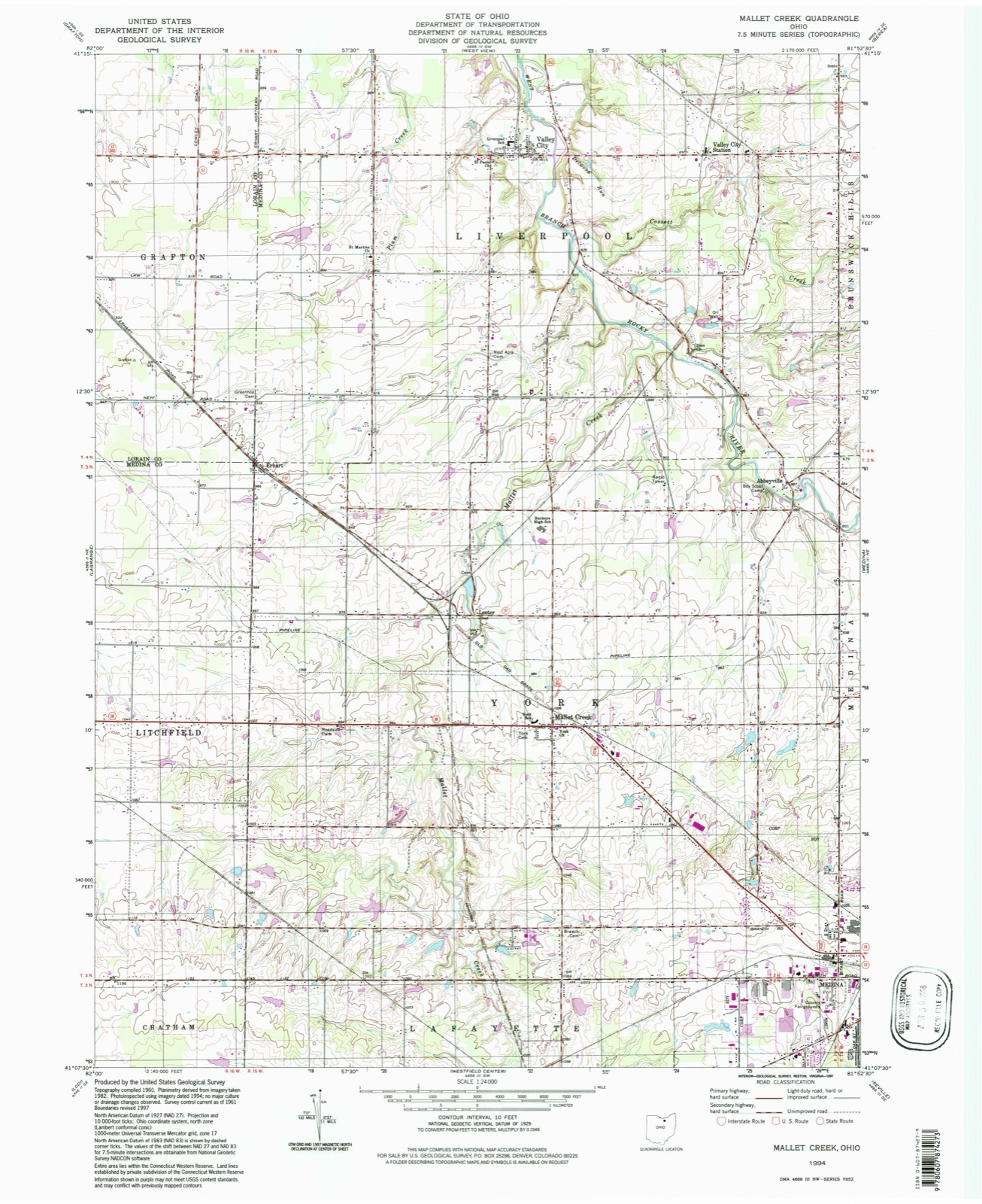
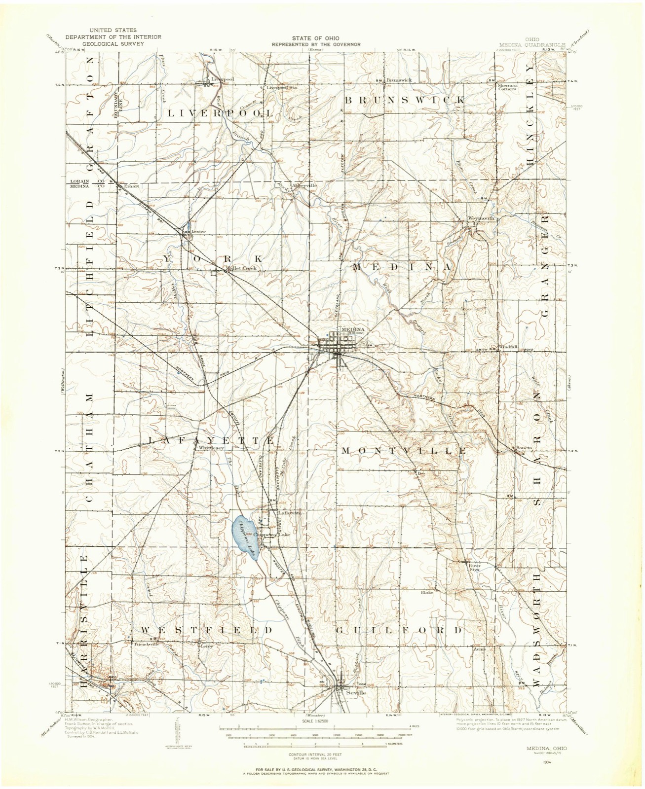
14 topographic sheets cover this place, the earliest surveyed in 1904 and the latest in 1994. It stands in York Township. It lies in ZIP code area 44256. The Survey maps it on the Mallet Creek quadrangle.
Then and now
1904 to 1994The same ground, surveyed 90 years apart. Drag the handle to wipe between them. Both sheets are United States Geological Survey originals; neither has been altered.
Compare 1904 against another survey:
On record in Lester
Buildings and businesses the archive holds for this place. Each opens its own page, with the source record it came from.
On the National Register 1 record
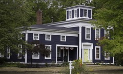 Zimri Cook Houselisted 1976
Topographic sheets covering this place
8 surveys from 14 printed sheetsMatched by testing this settlement's coordinate against the published boundary of every sheet in the United States Geological Survey's historical collection. Each opens the scanned sheet at the Survey.
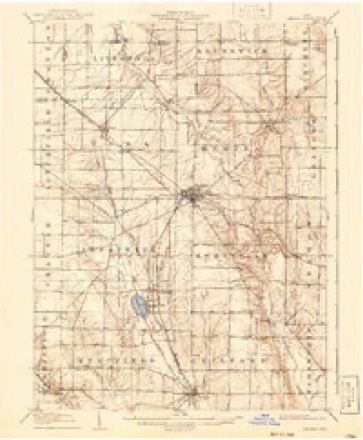
- 1904 USGS Medina quadrangle1:62500, 2 printings
- 1906 USGS Medina quadrangle1:62500
- 1956 USGS Cleveland quadrangle1:250000, 3 printings
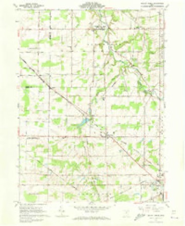
- 1961 USGS Mallet Creek quadrangle1:24000, 4 printings
- 1962 USGS Cleveland quadrangle1:250000
- 1986 USGS Cleveland South quadrangle1:100000
- 1994 USGS Cleveland South quadrangle1:100000
- 1994 USGS Mallet Creek quadrangle1:24000
In the county-history sources
10,487 words on this townshipPioneer History of Medina County, published 1861; History of Medina County and Ohio, Containing a History of the State of Ohio, from Its Earliest Settlement to the Present Time ... a History of Medina County, Giving an Account of Its Aboriginal Inhabitants ... Pioneer Incidents, Its Growth, Its Improvements, Organization of the County ... Biographical Sketches; Portraits of Some of the Early Settlers and Prominent Men, Etc., Etc. .., published 1881 has no passage naming this settlement, which was common for smaller places. Its township is covered in full.
The chapter on York Township covers the township.
Read the chapter on York Township - 10,487 words.
Specimens collected near this place
12 of 334 shownRegional context, not property-specific evidence. Museums hold 334 specimens collected within 10 miles of Lester between 1884 and 1975: 295 Animalia, 25 Plantae, 13 Fungi, 1 Protozoa. 12 distinct Species records are shown. Collected by A. Roberts, Ashcroft, G.B.; O. Berea, Ashcroft,G.B. s.n. [1897-05] and others. Each is a physical object with a catalogue number, and each entry opens the museum's record. This is what was collected and kept, not a survey of what lives here - nothing can be concluded from a species being absent.
| Image | Species | Year | Collected by | Where, as recorded |
|---|---|---|---|---|
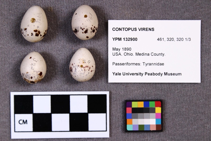 | Contopus virens (Linnaeus, 1766) | 1890 | not recorded | |
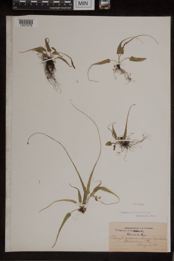 | Camptosorus rhizophyllus (L.) Link | 1894 | Watson, J.R. | Medina Co. |
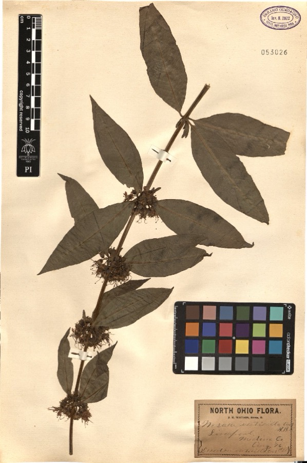 | Nesaea verticillata (L.) Kunth | 1896 | Watson,J.R. s.n. [1896-08] | [label: North Ohio Flora. J.R. Watson, Berea, O.] Liverpool, Medina Co. [Medina County] |
 | Sciurus niger Linnaeus, 1758 | 1884 | unknown | Medina |
 | Halictus confusus confusus | 1885 | H. E. Summers | Medina |
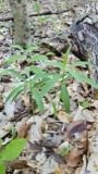 | Lilium canadense L. | 1888 | E. Barrick | Chatham |
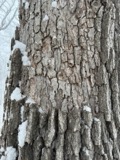 | Aleurodiscus oakesii (Berk. & M.A.Curtis) Cooke | 1894 | F. D. Kelsey | Penfield |
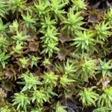 | Atrichum angustatum (Brid.) Bruch & Schimp. | 1894 | F. D. Kelsey | Penfield |
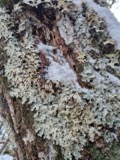 | Lobaria amplissima (Scop.) Forssell | 1894 | Francis D Kelsey | Penfield |
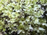 | Mnium stellare Hedw. | 1894 | F. D. Kelsey | Penfield |
 | Mycosphaerella macularis (Fr.) J.Schröt. | 1894 | Kelsey F. D. | Penfield |
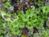 | Rhodobryum ontariense (Kindb.) Paris | 1894 | F. D. Kelsey | Penfield |
All 334 specimens within 10 miles, at the Global Biodiversity Information Facility.
Nearest settlements
The eight closest, with where each one stands in the county. Distances are straight-line, computed from the Geographic Names Information System coordinates.
| Map | Place | Distance | Sheets |
|---|---|---|---|
| Mallet Creek | 1.1 miles | 14 | |
| Erhart | 2.3 miles | 14 | |
| Abbeyville | 2.9 miles | 14 | |
| Pliny (historical) | 3.0 miles | 14 | |
| Valley City | 3.9 miles | 14 | |
| Franks Corner | 4.0 miles | 14 | |
| Valley City Station | 4.4 miles | 14 | |
| Litchfield | 4.6 miles | 11 |
Provenance
This settlement is recorded in the Geographic Names Information System as feature 1064988. The sheet list is computed by point-in-boundary test against the United States Geological Survey's historical topographic inventory. Both are works of the United States government and carry no copyright under 17 U.S.C. 105.
Specimens. Global Biodiversity Information Facility (GBIF), https://www.gbif.org/. Only records licensed CC0 or CC BY are used. Records licensed CC BY-NC are excluded because this site carries advertising. Images are checked individually and any whose licence is non-commercial, no-derivatives or unreadable is refused.