 Block
Block
Litchfield, Ohio
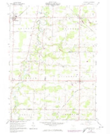
11 topographic sheets cover this place, the earliest surveyed in 1904 and the latest in 1986. It stands in Litchfield Township. It lies in ZIP code area 44253. The Survey maps it on the Lagrange quadrangle.
Then and now
1904 to 1986The same ground, surveyed 82 years apart. Drag the handle to wipe between them. Both sheets are United States Geological Survey originals; neither has been altered.

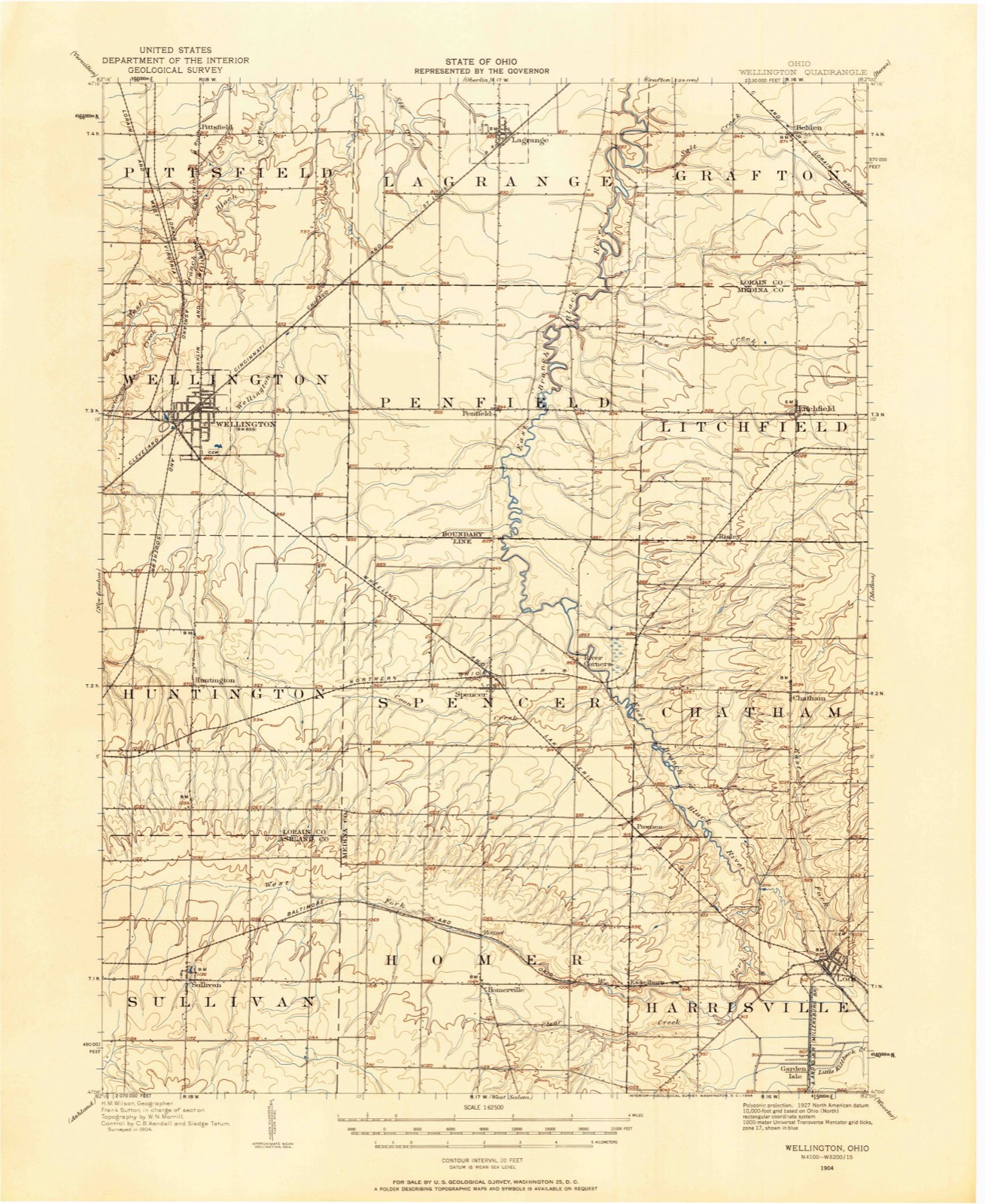
Topographic sheets covering this place
11 sheetsMatched by testing this settlement's coordinate against the published boundary of every sheet in the United States Geological Survey's historical collection. Each opens the scanned sheet at the Survey.
- 1904 USGS Wellington quadrangle1:62500
- 1906 USGS Wellington quadrangle1:62500
- 1956 USGS Toledo quadrangle1:250000
- 1956 USGS Toledo quadrangle1:250000
- 1956 USGS Toledo quadrangle1:250000
- 1956 USGS Toledo quadrangle1:250000
- 1960 USGS Lagrange quadrangle1:24000
- 1960 USGS Lagrange quadrangle1:24000
- 1961 USGS Toledo quadrangle1:250000
- 1986 USGS Lorain quadrangle1:100000
- 1986 USGS Lorain quadrangle1:100000







In the county-history sources
1,321 words on this townshipPioneer History of Medina County, published 1861 names this settlement in its chapter on Litchfield Township. These are the passages that mention it, exactly as the scans read.
It appears from early records that the portion of Medina county now called Litchfield was wholly owned by Judge Holmes, of Litchfield, Connecticut, who caused it to be surveyed into lots, and an opening, ©r improvement, of several acres, to be made on the southwest corner of the Center, planted an orchard and erected a cabin. Some time- thereafter, the land reverted to the State of Connecticut, and, under the supervision of Mr. Beers, acting School Commissioner, it was thrown into market. During the time it was under the control of Judge Holmes, it was generally known by the name of Holmestown. When controlled, thereafter, by Mr. Beers, he called it, on his surveyed map, Litchfield, and by that name it was known at the date of its organization.
Passage source: Pioneer History of Medina County, published 1861.
Miss Jane T. Strait, aged thirteen year's, was the first person who died in the township, on the 13th June, 1831. A.t her funeral was the first public religious service ever observed by the settlers. On the following Sabbath, Asa Strait, by invitation, lecbured to the people, and may be said to have delivered the first sermon ever heard by the then residents of Litchfield township! If the names of all then present were called, how few would answer ! The moral and religious influence that prevailed in New England was cherished with respect; and as the children, one after another, left the homes of their parents and became parents in the wilds of the Western Reserve, they came together and worshipped as did their fathers. When the morn of the Sabbath came, they congregated, not at the sound of bell, but prompted by the impressions made in childhood ; and thankfully acknowledged the superintending care of Providence.
Passage source: Pioneer History of Medina County, published 1861.
The fourth July, 1832, was celebrated by the settlers of Litchfield meeting, selecting a site, cutting and hauling logs, and building a log meeting-house. To give sanction to such work on that day, the good wives, at the appointed time, came with baskets of cooked provisions, and, with their husbands, ate thaukfully and joyfully, when they reflected on the prospects before them. At the same place, and on the same day, they formed a Temperance and Moral Reform Society, which grew in influence and in numbers, and may really be considered one of the very necessary aids of moral reform. Nine names were obtained to the Temperance Pledge on that day ; and shortly thereafter, a Temperance Society was duly organized, which continued to meet and act until 1844, when its members adopted the Washingtonian Pledge. It still exists ; and, in 1861, numbers two hundred and twelve members, most of whom are active, exemplary, temperance men and women. Who will criminate the citizens of
Passage source: Pioneer History of Medina County, published 1861.
Machine-read from a century-old scan, so expect the errors a machine makes: misspelled names, dropped words, stray characters.
Read the whole chapter on Litchfield Township - it names this place 2 more 2 times.
Specimens collected near this place
12 of 358 shownRegional context, not property-specific evidence. Museums hold 358 specimens collected within 10 miles of Litchfield between 1884 and 1975: 317 Animalia, 21 Plantae, 18 Fungi, 2 Protozoa. 12 distinct Species records are shown. Collected by A. M. Evans, A. Roberts, B Zahuranec & party and others. Each is a physical object with a catalogue number, and each entry opens the museum's record. This is what was collected and kept, not a survey of what lives here - nothing can be concluded from a species being absent.
| Image | Species | Year | Collected by | Where, as recorded |
|---|---|---|---|---|
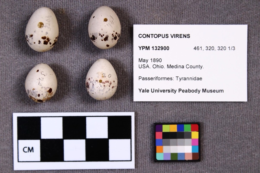 | Contopus virens (Linnaeus, 1766) | 1890 | not recorded | |
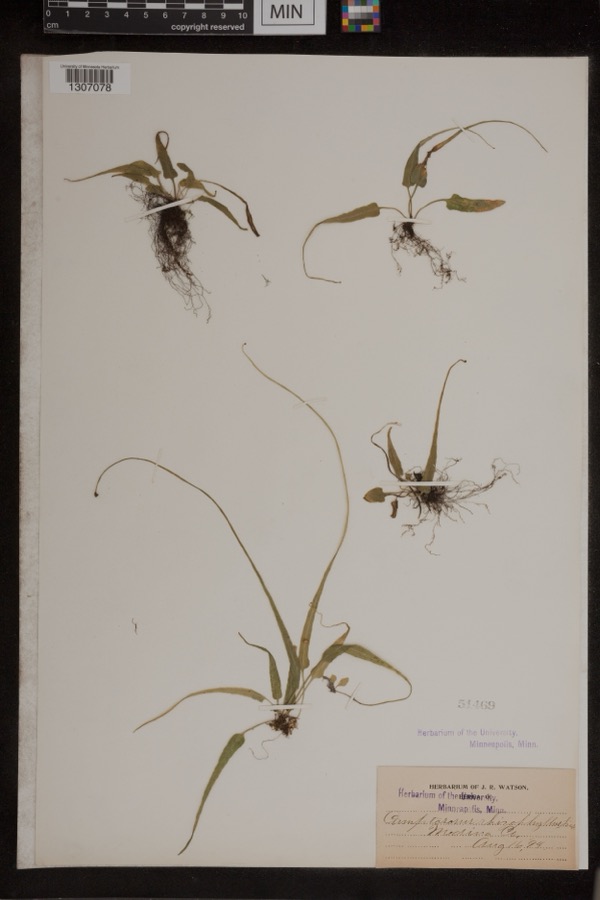 | Camptosorus rhizophyllus (L.) Link | 1894 | Watson, J.R. | Medina Co. |
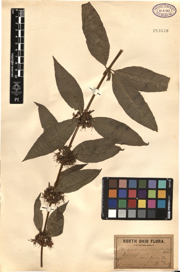 | Nesaea verticillata (L.) Kunth | 1896 | Watson,J.R. s.n. [1896-08] | [label: North Ohio Flora. J.R. Watson, Berea, O.] Liverpool, Medina Co. [Medina County] |
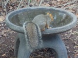 | Sciurus niger Linnaeus, 1758 | 1884 | unknown | Medina |
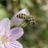 | Halictus confusus confusus | 1885 | H. E. Summers | Medina |
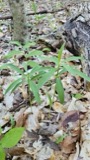 | Lilium canadense L. | 1888 | E. Barrick | Chatham |
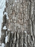 | Aleurodiscus oakesii (Berk. & M.A.Curtis) Cooke | 1894 | F. D. Kelsey | Penfield |
 | Atrichum angustatum (Brid.) Bruch & Schimp. | 1894 | F. D. Kelsey | Penfield |
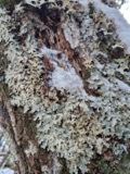 | Lobaria amplissima (Scop.) Forssell | 1894 | Francis D Kelsey | Penfield |
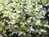 | Mnium stellare Hedw. | 1894 | F. D. Kelsey | Penfield |
 | Mycosphaerella macularis (Fr.) J.Schröt. | 1894 | Kelsey F. D. | Penfield |
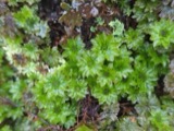 | Rhodobryum ontariense (Kindb.) Paris | 1894 | F. D. Kelsey | Penfield |
All 358 specimens within 10 miles, at the Global Biodiversity Information Facility.
Nearest settlements
The eight closest, with where each one stands in the county. Distances are straight-line, computed from the Geographic Names Information System coordinates.
| Map | Place | Distance | Sheets |
|---|---|---|---|
| Risley (historical) | 2.5 miles | 11 | |
| Erhart | 3.4 miles | 14 | |
| Lester | 4.6 miles | 14 | |
| Chatham | 4.7 miles | 12 | |
| Mallet Creek | 5.2 miles | 14 | |
| River Corners | 5.7 miles | 12 | |
| Franks Corner | 6.0 miles | 14 | |
| Geisingers Corners (historical) | 6.4 miles | 12 |
Elsewhere
Matched on this settlement's Geographic Names Information System number rather than its name, so it cannot be a different place of the same name in another state.
| Wikipedia article on Litchfield | An encyclopaedic summary. Its text is share-alike, so it is linked here rather than copied. |
| Wikidata item Q6647443 | The structured record the population and elevation above come from. Public domain (CC0). |
Provenance
This settlement is recorded in the Geographic Names Information System as feature 1065007. The sheet list is computed by point-in-boundary test against the United States Geological Survey's historical topographic inventory. Both are works of the United States government and carry no copyright under 17 U.S.C. 105.
Specimens. Global Biodiversity Information Facility (GBIF), https://www.gbif.org/. Only records licensed CC0 or CC BY are used. Records licensed CC BY-NC are excluded because this site carries advertising. Images are checked individually and any whose licence is non-commercial, no-derivatives or unreadable is refused.