 Block
Block
Valley City, Ohio
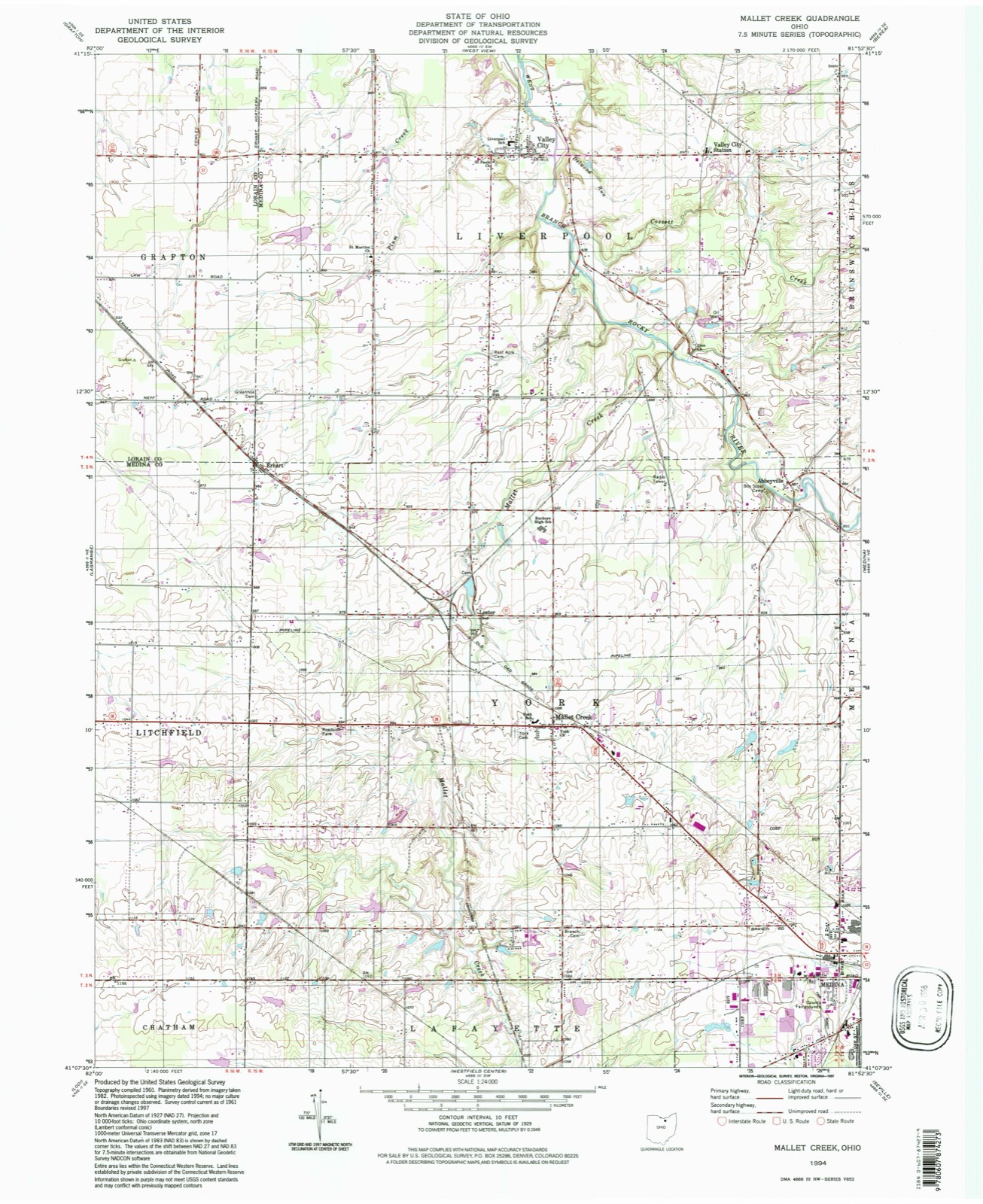
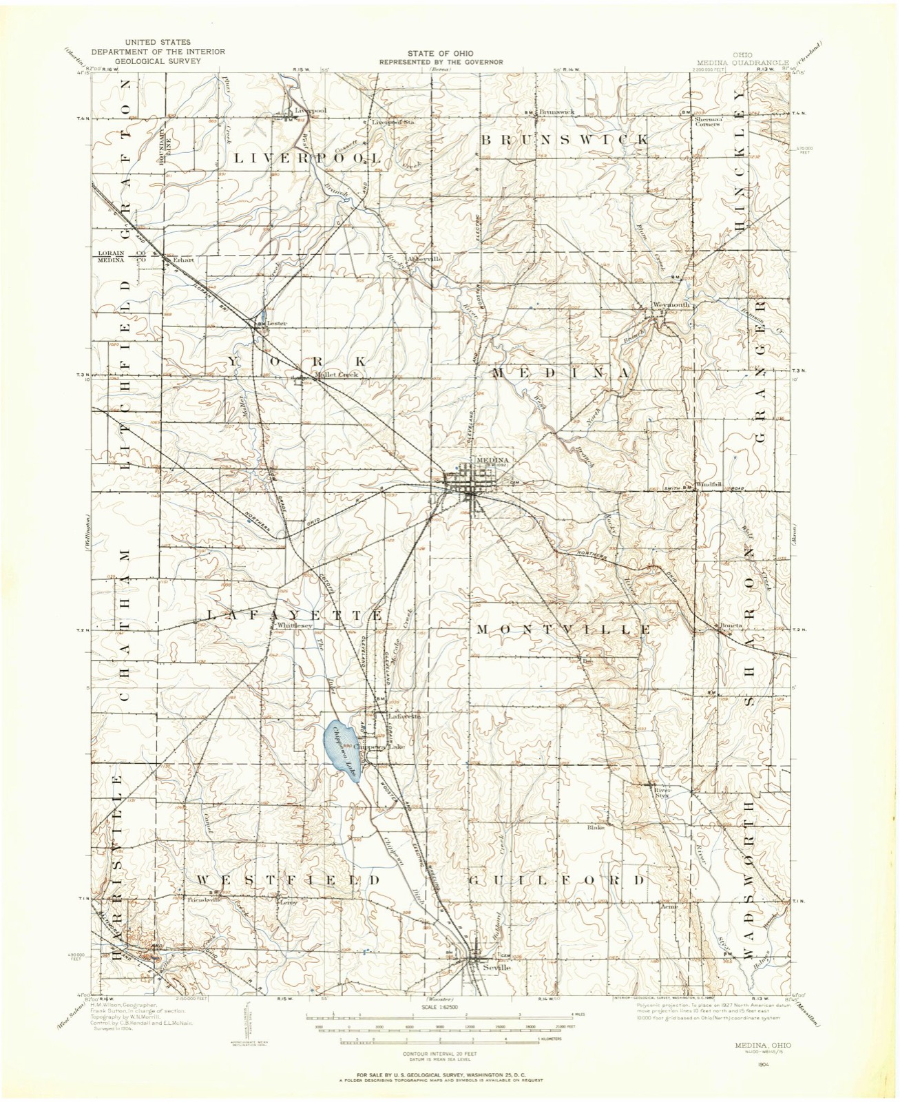
14 topographic sheets cover this place, the earliest surveyed in 1904 and the latest in 1994. It stands in Liverpool Township. It lies in ZIP code area 44280. It stands on Delwood Run. The Survey maps it on the Mallet Creek quadrangle. 943 people lived here at the 2020 count. It stands 869 feet above sea level.
Then and now
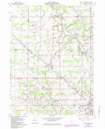
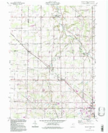
1904 to 1994The same ground, surveyed 90 years apart. Drag the handle to wipe between them. Both sheets are United States Geological Survey originals; neither has been altered.
Compare 1904 against another survey:
Topographic sheets covering this place
14 sheetsMatched by testing this settlement's coordinate against the published boundary of every sheet in the United States Geological Survey's historical collection. Each opens the scanned sheet at the Survey.
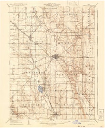
- 1904 USGS Medina quadrangle1:62500
- 1904 USGS Medina quadrangle1:62500
- 1906 USGS Medina quadrangle1:62500
- 1956 USGS Cleveland quadrangle1:250000
- 1956 USGS Cleveland quadrangle1:250000
- 1956 USGS Cleveland quadrangle1:250000
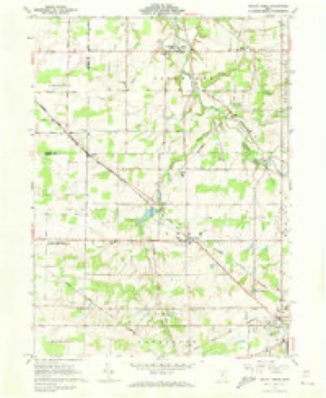
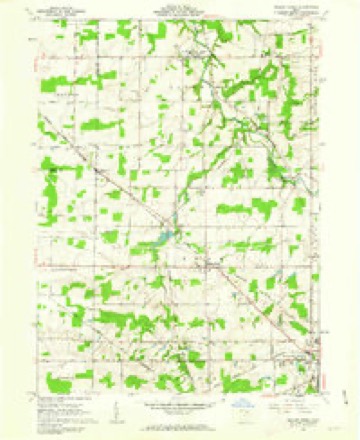
- 1961 USGS Mallet Creek quadrangle1:24000
- 1961 USGS Mallet Creek quadrangle1:24000
- 1961 USGS Mallet Creek quadrangle1:24000
- 1961 USGS Mallet Creek quadrangle1:24000
- 1962 USGS Cleveland quadrangle1:250000
- 1986 USGS Cleveland South quadrangle1:100000
- 1994 USGS Cleveland South quadrangle1:100000
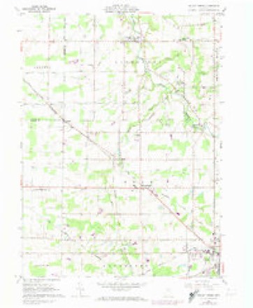
- 1994 USGS Mallet Creek quadrangle1:24000






In the 1861 county history
19,879 words on this townshipThe county history of 1861 has no passage naming this settlement, which was common for the smaller places. Its township is covered in full.
The chapter on Liverpool Township covers the township.
Read the chapter on Liverpool Township - 19,879 words.
Specimens collected nearby
12 of 287 shownMuseums hold 287 specimens collected within 10 miles of Valley City between 1884 and 1975: 263 Animalia, 17 Plantae, 5 Fungi, 2 Protozoa. 12 distinct Species records are shown. Collected by A. D. Huryn, A. Roberts, Ashcroft, G.B.; O. Berea and others. Each is a physical object with a catalogue number, and each entry opens the museum's record. This is what was collected and kept, not a survey of what lives here - nothing can be concluded from a species being absent.
| Image | Species | Year | Collected by | Where, as recorded |
|---|---|---|---|---|
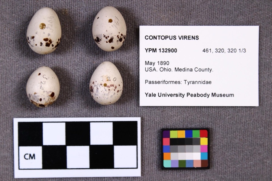 | Contopus virens (Linnaeus, 1766) | 1890 | not recorded | |
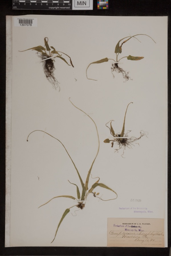 | Camptosorus rhizophyllus (L.) Link | 1894 | Watson, J.R. | Medina Co. |
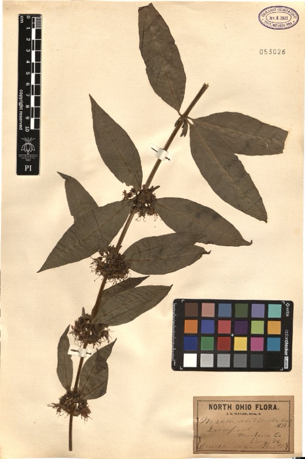 | Nesaea verticillata (L.) Kunth | 1896 | Watson,J.R. s.n. [1896-08] | [label: North Ohio Flora. J.R. Watson, Berea, O.] Liverpool, Medina Co. [Medina County] |
 | Sciurus niger Linnaeus, 1758 | 1884 | unknown | Medina |
 | Halictus confusus confusus | 1885 | H. E. Summers | Medina |
 | Mougeotia genuflexa (Roth) C.Agardh | 1896 | F. D. Kelsey | Plum Creek |
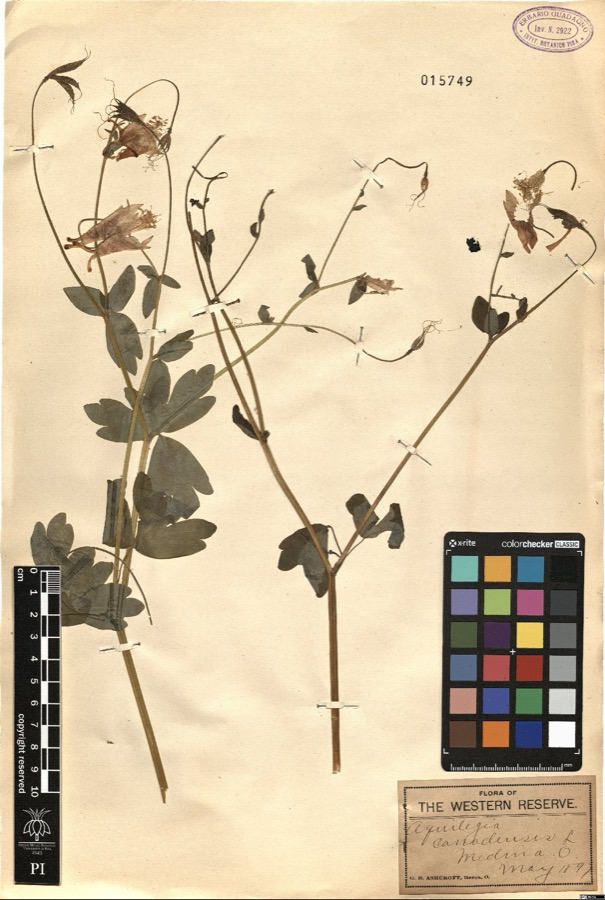 | Aquilegia canadensis L. | 1897 | Ashcroft,G.B. s.n. [1897-05] | [label: Flora of the Western Reserve] Medina O. [Ohio] |
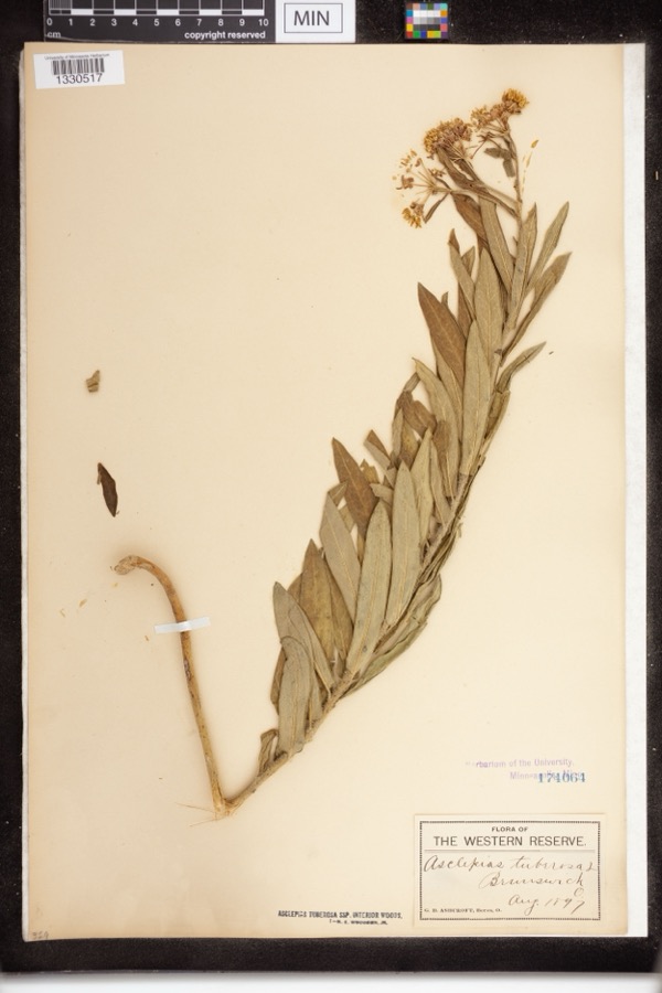 | Asclepias tuberosa subsp. interior Woodson | 1897 | Ashcroft, G.B.; O. Berea | The Western Reserve. Brunswick |
 | Culicoides guttipennis (Coquillett, 1901) | 1897 | J. Hine | Medina |
 | Euphorbia commutata Engelm. ex A.Gray | 1897 | G. B. Ashcroft | Lester |
 | Hinea Townsend, 1916 | 1897 | J. Hine | Medina |
 | Platanthera psycodes (L.) Lindl. | 1897 | G. B. Ashcroft | Brunswick |
All 287 specimens within 10 miles, at the Global Biodiversity Information Facility.
Storms nearby
15 since 1999The National Weather Service names Valley City in 15 storm reports between 1999 and 2020: 11 thunderstorm wind, 3 hail, 1 tornado. No death or injury is recorded in these reports. Each account below is quoted exactly as the forecast office filed it, from the NOAA Storm Events Database, and each date opens the federal record of that event.
| When | Event | Place named | Harm | What the report says |
|---|---|---|---|---|
| November 2017 | Thunderstorm Wind | Valley City | $1,100,000 | A thunderstorm downbust with winds estimated to be as much as 85 mph caused extensive damage across the northern end of Medina County. The damage began west of Valley City along the county line and continued east across the Brunswick and Hinckley areas. The damage was most concentrated in Liverpool township where there was significant tree and power pole damage. Hundreds of trees were also downed in Brunswick and Hinckley. Many homes lost roofing or siding and a few were damaged by fallen trees. In Brunswick alone, there were 300 reports of damage with four homes sustaining structural damage and a fifth destroyed from a complete roof collapse caused by a fallen tree. There was also damage across Medina and Granger Townships but it wasn't as widespread. Many roads, including county and state routes were blocked by fallen trees and power lines. Several school districts in the county were closed on November 6th because of power outages. At the peak of the storm over 10,000 people were without power in Median County. It took a couple of days for power to be fully restored. |
| July 2014 | Tornado (EF1) | Valley City | $70,000 | The tornado started as an EF0 in extreme eastern central Lorain County near the intersection of Island Road and Route 303. The tornado quickly became an EF1 in Medina County and tracked around 7 miles before lifting up near the intersection of Grafton and Marks Roads. Along the 7.3 mile path of the tornado, much of the damage was to trees that were knocked down or uprooted. Some shingle and mainly minor structure damage also occurred. A barn on Station Road was moderately damaged. The max path width was 200 yards and the maximum estimated speed was 94 mph. The tornado was on the ground approximately 7 minutes. Scattered downed trees and limbs observed east of this location was determined to be a result of straight line winds. |
| May 2011 | Thunderstorm Wind | Valley City | $40,000 | Thunderstorm winds snapped several large trees. Several roofs were damaged during this event. |
| September 2018 | Thunderstorm Wind | Valley City | $15,000 | Thunderstorm downburst wind gusts of at least 60 mph downed at least trees in the Liverpool Township and Valley City areas. Trees were reported downed at residences on Columbia, Neff and Law Roads. |
| June 2008 | Thunderstorm Wind | Valley City | $15,000 | Many trees were reported down from Valley City to Medina. |
| August 2002 | Thunderstorm Wind | Valley City | $10,000 | Thunderstorm winds downed a few trees in Liverpool Township near Valley City. |
| October 1999 | Thunderstorm Wind | Valley City | $10,000 | A few large trees were downed. |
| August 2007 | Thunderstorm Wind | Valley City | $5,000 | A tree and several large limbs were reported down. |
| June 2013 | Thunderstorm Wind | Valley City | $3,000 | A trained weather spotter reported a pine tree snapped along with numerous limbs and branches down north of route 303 in Valley City. |
| August 2009 | Thunderstorm Wind | Valley City | $3,000 | Several large limbs were reported down. |
| December 2013 | Thunderstorm Wind | Valley City | $1,000 | Thunderstorm winds downed a tree. |
| March 2020 | Hail | Valley City | - | HAM radio operator reported 2 diameter hail in Valley City. |
| March 2020 | Hail | Valley City | - | Social media report with pictures of golf ball to billiard ball-size hail in Valley City. |
| April 2020 | Thunderstorm Wind | Valley City | - | Multiple trees down about 1.3 miles south of Valley City. |
| June 2008 | Hail | Valley City | - | Penny size hail was observed. |
Nearest settlements
The eight closest, with where each one stands in the county. Distances are straight-line, computed from the Geographic Names Information System coordinates.
| Map | Place | Distance | Sheets |
|---|---|---|---|
| Franks Corner | 1.2 miles | 14 | |
| Hardscrabble | 1.6 miles | 20 | |
| Valley City Station | 1.6 miles | 14 | |
| Pliny (historical) | 2.1 miles | 14 | |
| Erhart | 3.5 miles | 14 | |
| Abbeyville | 3.7 miles | 14 | |
| Beebetown | 3.8 miles | 20 | |
| Lester | 3.9 miles | 14 |
Elsewhere
Matched on this settlement's Geographic Names Information System number rather than its name, so it cannot be a different place of the same name in another state.
| Wikipedia article on Valley City | An encyclopaedic summary. Its text is share-alike, so it is linked here rather than copied. |
| Wikidata item Q7912008 | The structured record the population and elevation above come from. Public domain (CC0). |
Provenance
This settlement is recorded in the Geographic Names Information System as feature 1065421. The sheet list is computed by point-in-boundary test against the United States Geological Survey's historical topographic inventory. Both are works of the United States government and carry no copyright under 17 U.S.C. 105.
Specimens. Global Biodiversity Information Facility (GBIF), https://www.gbif.org/. Only records licensed CC0 or CC BY are used. Records licensed CC BY-NC are excluded because this site carries advertising. Images are checked individually and any whose licence is non-commercial, no-derivatives or unreadable is refused.
Storms. NOAA National Centers for Environmental Information, Storm Events Database https://www.ncei.noaa.gov/stormevents/ A work of the United States government, no copyright under 17 U.S.C. 105. Narratives are quoted verbatim from the National Weather Service report and are not edited or summarised.