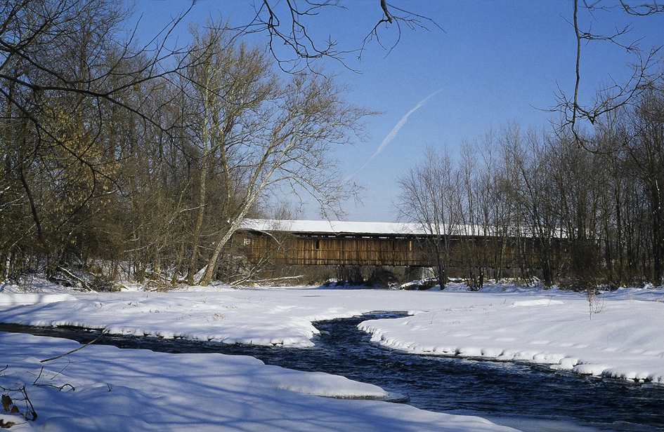
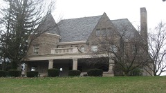
Built in 1848. Listed on the National Register of Historic Places in
1975. A historic map-sheet match is not published yet. The record needs a coordinate-quality review before it can be joined to a sheet boundary.
From the record
“The Lockington Covered Bridge was a historic covered bridge that once spanned the Great Miami River near Lockington, Ohio, United States. Built in 1848, it employed the Long Truss method of construction.”
Wikipedia article Lockington Covered Bridge, CC BY-SA 4.0.
one of 19 National Register listings in Shelby County · listed in 1975 · category: Structure · built in 1848 · one of 1 National Historic Landmarks in Shelby County.
National Register reference number.75001532- the number the National Park Service assigned this property when it was listed, and the key its nomination file is catalogued under at the National Archives.
The ground it stands on
22,082 words
The chapter on Orange Township in History of Shelby County, Ohio, published 1883 names Lockington. This is what it says, exactly as the scans read.
David Kirkwood Gillespie, the subject of this sketch, a son of Wm. Gillespie, was born in Warren County, Ohio, in 1821; lived with his father on the farm, and came with him to Shelby County when he was sixteen years of age; helped his father to clear the farm, and remained with him until he was twentj'-eight years of age. In 1850 he went to Lockington to engage in the grain trade. His capital stock in trade, all told, was only six hundred dollars. In 1*51 he married Miss Martha McKee.. He at first commenced buying grain on commission, but it was not long before grain took such a decline that the men for whom he was buying sent him word that they could not furnish any more means, as the markets would not justify, lie then determined to buy and ship for himself. He invested in an old boat and team, and loaded it with grain. This took all the capital he had. Tiie boat on its first trip was, through the carelessness of its manager, so badly injured that it sank, and its cargo of grain was almost a total loss. Mr. G. was now left without a dollar. He felt almost discouraged, but his brave wife said to him, " We are yet young and strong, let us try again." He then went to his father and asked him what he should do? Ilis father told him that he could not help him any, but if he could find anybody who would let him have money he would give him his name as security. The next day he went to Piqua, where the first man he met he asked if he knew where a boy like him conld get some money to use bj r giving good security? The man told him he would let him have all he wanted without security. So with this assurance he returned home, repaired his boat, commenced buying and shipping grain. The markets were lavorable, and it was not long before lie was out of his financial trouble. Within that year he paid off all his indebtedness and had several thousand dollars left. In 1854 his wife died, having borne him two children. both of which died in infancy. In 1856 he again married, this time to Miss Marian McKee, a cousin of his first wife, with whom he lived till 1875, when she died. There were by this union eight children, four of whom are now living, viz., William H., born 1857 ; James M., born 1861; Lee W., born 1864; and Anna S., born 1869. In 1878 he was married to Sarah J. MeKnight, with whom he is now living. He continued the purchase and shipment of grain at Lockington until the year 1864, when he sold out his business there and removed to a farm of 350 acres he had purchased in Miami County, known as the Johnston farm, in Upper Piqua, for which he had paid $33,600 cash. A few years later he bought the old homestead of his father, for which lie paid $*800. Beside this he owned the Lockington mills, and his property in Kirkwood, where he now lives. This property was all made while he lived in Lockington, during fourteen years. In 1859 Mr. Gillespie was elected commissioner of the county, which office he filled till 1864, when he moved to Miami County. lie remained on his farm in Miami until 1877, when he returned to Shelby and located in Pontiac, now called Kirkwood, in honor of Mr. G.'s middle name.
Regional context, not property-specific
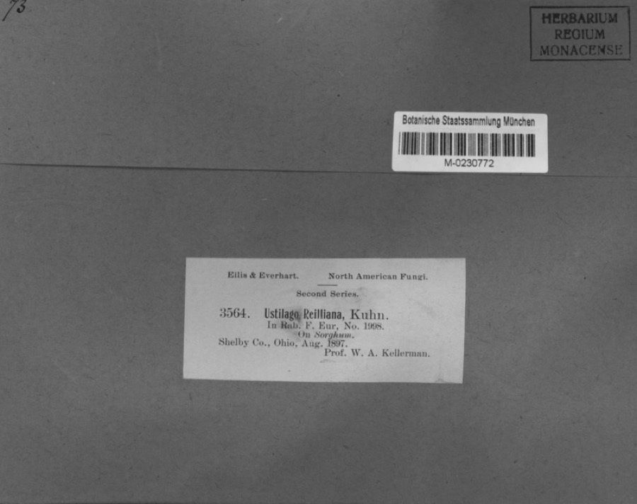
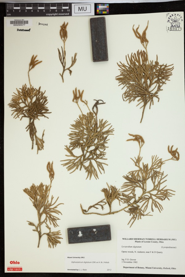
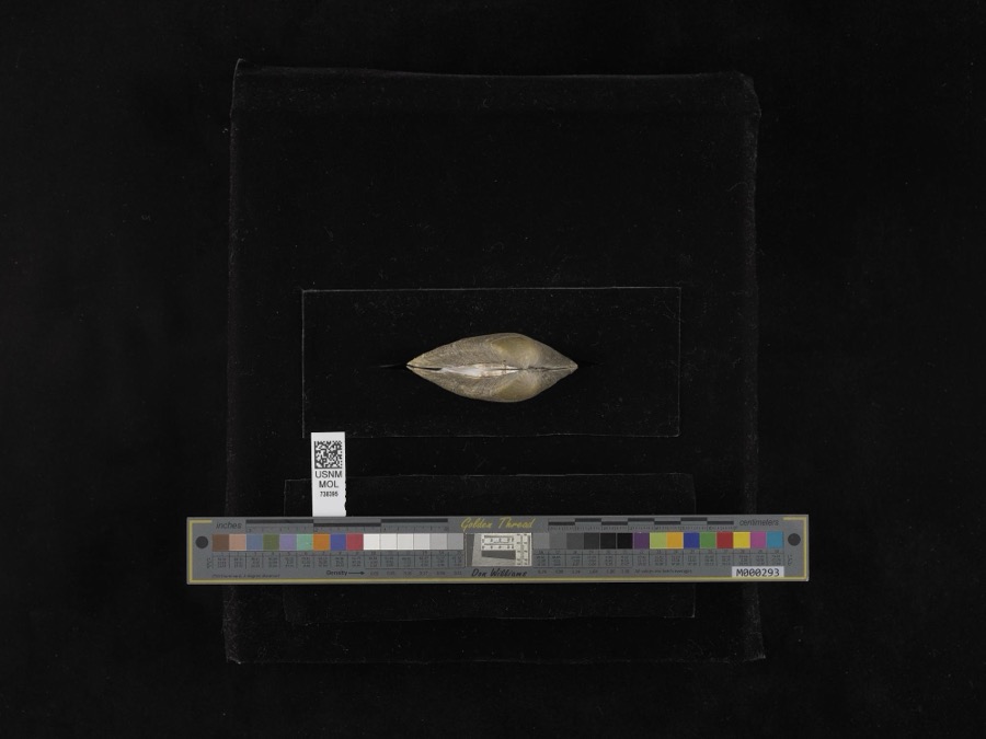
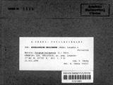
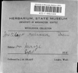
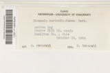
evidence. Museums hold 208 specimens
collected within 10 miles of Lockington Covered Bridge between 1897 and
1967: 170 Animalia, 20 Fungi, 17 Plantae, 1 Unrecorded. 12 distinct Species records are shown.
Collected by A. R. Gaufin, A.R. Gaufin, A.R. Gaufin, H.H. Ross and others. Each is a
physical object with a catalogue
number, and each entry opens the museum's record. This is what was
collected and kept, not a survey of what lives here - nothing can be
concluded from a species being absent.
Regional context, not property-specific
evidence. The federal mineral resources record lists
14 workings within 5 miles of Lockington Covered Bridge: 7 past producers, 6 producers, 1 plant.
7 still produce. What was taken out: Sand and Gravel, Construction, Stone, Crushed/Broken, Limestone, General. Distance is straight-line from the
map coordinates, so a quarry counted here may appear on a neighbouring
settlement's page as well.
Regional context, not property-specific
evidence. The National Weather Service names
Lockington, the town this property stands in, in 4 storm reports between 1999 and 2023: 3 thunderstorm wind, 1 flood.
No death or injury is recorded in these reports. Each account below is quoted exactly as the forecast office
filed it, from the NOAA Storm Events Database, and each date
opens the federal record of that event.
No historic map-sheet match is published
for this property yet. That does not mean no map exists. This record needs
a coordinate-quality review before it can be joined to a sheet boundary.
Browse the county's mapped places while that work is
pending.
From the nomination file
1,797 words on record
When this property was proposed for the
National Register, someone wrote the case for it: what the building is,
and why it matters. That document is a federal record in the public domain.
It is quoted below word for word, never summarised. The text was read off the scanned case file by machine, so the
occasional stray character is the recogniser's and the 1970s
typewriter's.
Description of the property
- Moved The structure under consideration is a two-span wooden truss covered the outward appearance of the Lockington Bridge has changed little over the years.The bridge has always been unpainted.The abutments and The Lockington Bridge is a 20 panel Long truss built in two spans. The With the exceptiog of the above named additions of steel reinforcements, truss plan which was patented in 1830 by Col.Stephan H.Long of the Fair 16'and the vertical clearance isll'.The truss verticals are 2-5x PERIOD (Check One or More as Appropriate) Urban Planning - Prehistoric STATEMENT OF
Statement of significance
name. Iockington, formerly known as Lockport, came into being with the SIGNIFICANCE Communications Commerce Conservation losophy Architecture Transportation REGISTER Literature Aboriginal Agriculture Industry NATIONAL Theater RECEIVED Music Religion/Phi Pre-Columbian Invention The Lockington Covered bridge is an atbractive covered bridge and very Education Social/Human- Sculpture Cincinnati and Toledo. County and one of only eight Long trusses left in Ohio.At a length Engineering itarian Military Landscape was a bustling and thriving area.
According to the county engineer, this bridge was built in 1848,which area around the small communtity of Lockington from which it takes its 18th Century locks here which enabled the canal to float the toats up the 67' rise much a part of the historic area in which it islocated. Political of178',it is also one of the longest covered bridges in ohio. MAY? Other (Specify) SPECIFIC DATE(S) (If Applicable and Known) (Check One or More as Appropriate) Art of Loramie Summit which is the highest point in the canal between AREAS OF SIGNIFICANCE The Lockington Covered Bridge is a part of the historically significant would mean that it was built during the hey-day of the canal when this Press, 1970, p. 45. Goulder, Grace, This is Ohio, The World Publishing Company, 1965, p. 269.
Ketcham, Bryan E-, Covered Bridges on the Byweys of Ohio, Oxford Printing Company, 1969, p.
Quoted from the National Register nomination
for reference 75001532, 12 pages, held by the National Archives in Record
Group 79. See the
catalogue record.
Listed places nearby
6 within 8 miles
Other National Register properties close
enough to walk or drive between, ordered by distance from this one. Both
positions come from the same geocoding pass that matched these properties
to their map sheets.
Listing record. National Park Service National Register of Historic Places, listed-properties dataset, current to 2026-05-22.
Map join. Address geocoded through the United States Census geocoder, then tested against the published boundary of every sheet in the USGS Historical Topographic Map Collection.
How this page is made. Listing fields come from federal records; map-sheet coverage is a labelled coordinate-to-boundary calculation, not a source-field claim.
Specimens. Global Biodiversity Information Facility (GBIF), https://www.gbif.org/. Only records licensed CC0 or CC BY are used. Records licensed CC BY-NC are excluded because this site carries advertising. Images are checked individually and any whose licence is non-commercial, no-derivatives or unreadable is refused.
Mines and quarries. USGS Mineral Resources Data System (MRDS) https://mrdata.usgs.gov/mrds/ A work of the United States government, no copyright under 17 U.S.C. 105.
Storms. NOAA National Centers for Environmental Information, Storm Events Database https://www.ncei.noaa.gov/stormevents/ A work of the United States government, no copyright under 17 U.S.C. 105. Narratives are quoted verbatim from the National Weather Service report and are not edited or summarised.
 Block
Block