 Block
Block
Lovell, Ohio
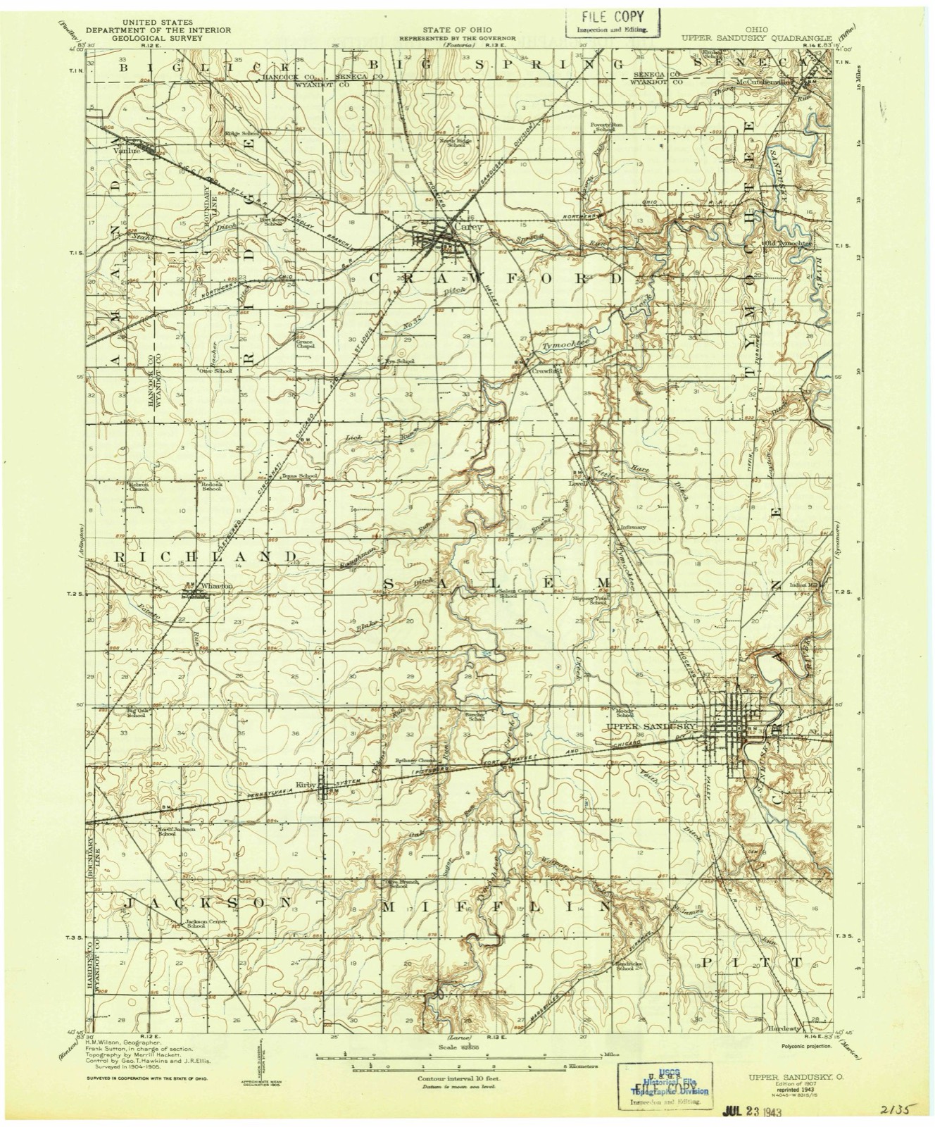
10 topographic sheets cover this place, the earliest surveyed in 1907 and the latest in 1986. It stands in Salem Township. It lies in ZIP code area 43351. It stands on Browns Run. The Survey maps it on the McCutchenville quadrangle.
Then and now
1907 to 1986The same ground, surveyed 79 years apart. Drag the handle to wipe between them. Both sheets are United States Geological Survey originals; neither has been altered.

Topographic sheets covering this place
10 sheetsMatched by testing this settlement's coordinate against the published boundary of every sheet in the United States Geological Survey's historical collection. Each opens the scanned sheet at the Survey.
- 1907 USGS Upper Sandusky quadrangle1:62500
- 1950 USGS Marion quadrangle1:250000
- 1960 USGS Mc Cutchenville quadrangle1:24000
- 1960 USGS Mc Cutchenville quadrangle1:24000
- 1962 USGS Marion quadrangle1:250000
- 1966 USGS Marion quadrangle1:250000
- 1966 USGS Marion quadrangle1:250000
- 1966 USGS Marion quadrangle1:250000
- 1986 USGS Marion quadrangle1:100000
- 1986 USGS Marion quadrangle1:100000







In the county-history sources
10,918 words on this townshipThe History of Wyandot County, Ohio, Containing a History of the County: Its Townships, Towns, Churches, Schools, Etc.;, published 1884 names this settlement in its chapter on Salem Township. These are the passages that mention it, exactly as the scans read.
The town of Lovell, situated in Section 2, on the C, H. V. & T. Railroad, was laid out by Lovell B. Harris, from whom it was named two years after that road was constructed. The post office was established at the same time. The village has one store, one church, one blacksmith shop, a shoe shop and a flouring mill. The latter was built in 1877 by Daniel and William A. Walborn, at a cost of $6,500. The building is a two-story frame structure, 26x40 feet. The mill was put in operation by the Walborn firm, which has since conducted it. It has two runs of buhrs, with a capacity of twenty barrels per day. A saw mill is run in connection, requiring the aid of four workmen.
Passage source: The History of Wyandot County, Ohio, Containing a History of the County: Its Townships, Towns, Churches, Schools, Etc.;, published 1884.
Willis. After several removals, they located permanently in this county, where Mr. Shellhouse died Mai'ch 3, 1873, in his sixty- eighth year. His vfite died in Lovell, Ohio, January 3, 1884, in her seventieth year. Their family consisted of seven sons and four daughters - Sarah A., Edward S. , Lydia, Conrad H . George AV., Chandler W.. Perry M., Louisa, Francis M., Mary E. and Amasa. Perry M., the subject of this sketch, obtained a good education, graduating at the Carey High School in 1865, since which time he has engaged to a considerable extent in teaching in this and adjoining counties. He spent several years in selling goods over the counter and by wagon, returning to Lovell in 1879, where he still resides, now engaged in the poultry business. He owns some town property, and is an industrious and enterprising citizen. A Democrat politically.
Passage source: The History of Wyandot County, Ohio, Containing a History of the County: Its Townships, Towns, Churches, Schools, Etc.;, published 1884.
Machine-read from a century-old scan, so expect the errors a machine makes: misspelled names, dropped words, stray characters.
Read the whole chapter on Salem Township - it names this place 5 more 5 times.
Specimens collected near this place
12 of 285 shownRegional context, not property-specific evidence. Museums hold 285 specimens collected within 10 miles of Lovell between 1885 and 1975: 254 Animalia, 28 Fungi, 3 Plantae. 12 distinct Species records are shown. Collected by Allen, J. M., Blyth & Katz, Blyth, D. (David) & Katz, D. (David) and others. Each is a physical object with a catalogue number, and each entry opens the museum's record. This is what was collected and kept, not a survey of what lives here - nothing can be concluded from a species being absent.
| Image | Species | Year | Collected by | Where, as recorded |
|---|---|---|---|---|
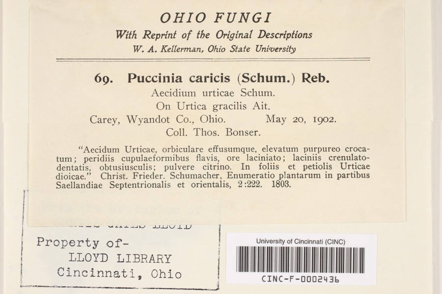 | Puccinia P.Micheli ex Haller, 1768 | 1902 | Bonser, T. | Carey |
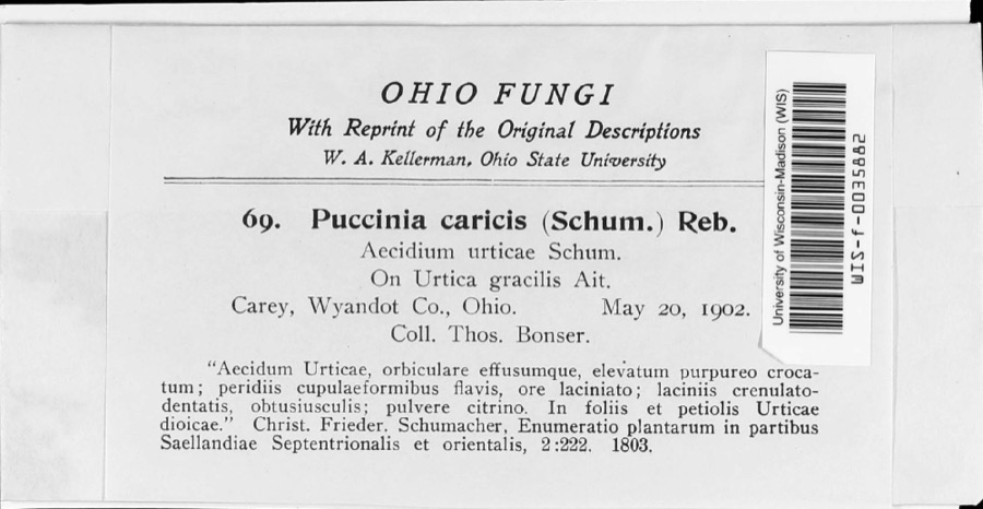 | Puccinia caricina DC. | 1902 | T. Bonser | |
 | Hister abbreviatus Fabricius, 1775 | 1885 | not recorded | Crane |
 | Margarinotus faedatus (J.E.LeConte, 1845) | 1885 | not recorded | Crane |
 | Cambarus rusticus Girard, 1852 | 1893 | United States Fish Commission | McCutchenville, Sandusky River |
 | Notropis cornutus (Mitchill, 1817) | 1893 | not recorded | Sandusky River, Mccutchenville, Ohio |
 | Notropis rubellus (Agassiz, 1850) | 1893 | not recorded | Sandusky River, Mccutchenville, Ohio |
 | Campylium stellatum (Hedw.) Lange & C.E.O.Jensen | 1899 | W. A. Kellerman | |
 | Phyllachora graminis (Pers.) Fuckel | 1900 | Bonser Thos. | Wyandot Co. |
| Phyllachora vulgata Theiss. & Syd. | 1900 | Thos. Bouser | Big Spring Prairie | |
 | Corvus brachyrhynchos brachyrhynchos C.L.Brehm, 1822 | 1901 | Thos A. Bonser | Carey, S. of |
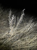 | Lepidium campestre (L.) W.T.Aiton | 1901 | Bonser, T.A. | Carey |
All 285 specimens within 10 miles, at the Global Biodiversity Information Facility.
Mines and quarries near this place
2 within 5 milesRegional context, not property-specific evidence. The federal mineral resources record lists 2 workings within 5 miles of Lovell: 1 past producer, 1 plant. 1 still produces. What was taken out: Sand and Gravel, Construction, Stone, Crushed/Broken. Distance is straight-line from the map coordinates, so a quarry counted here may appear on a neighbouring settlement's page as well.
| Where | Site | Commodity | Status | Recorded |
|---|---|---|---|---|
| Carey Plant & Quarry | Stone, Crushed/Broken | Plant | ||
| Kuenzli Quarries Co. | Sand and Gravel, Construction | Past Producer |
Storms near this place
3 since 2005Regional context, not property-specific evidence. The National Weather Service names Lovell in 3 storm reports between 2005 and 2021: 2 thunderstorm wind, 1 flood. No death or injury is recorded in these reports. Each account below is quoted exactly as the forecast office filed it, from the NOAA Storm Events Database, and each date opens the federal record of that event.
| When | Event | Place named | Harm | What the report says |
|---|---|---|---|---|
| November 2005 | Thunderstorm Wind | Lovell | $50,000 | Several barns in the area had their roofs blown off. |
| November 2013 | Thunderstorm Wind | Lovell | $25,000 | Thunderstorm wind gusts leveled a barn along State Route 199. |
| May 2021 | Flood | Lovell | - | An average of two inches of rain fell over Wyandot County and the Tymochtee Creek on May 9th resulting in minor flooding. The USGS river gage at Crawford reported a crest of 8.5 feet on the 11th. The relatively flat land and slow runoff displaced the flooding to nearly 24 hours after the rain ended over the area. Numerous County Highways were flooded including CH 16 flooded east of State Route 53 north of Tymotchee. Other County Highways that were inundated include CH 35, 4, 16, 37, 38, 42, 47, and 53. |
Nearest settlements
The eight closest, with where each one stands in the county. Distances are straight-line, computed from the Geographic Names Information System coordinates.
| Map | Place | Distance | Sheets |
|---|---|---|---|
| Crawford | 2.1 miles | 10 | |
| Carey | 5.1 miles | 11 | |
| Upper Sandusky | 5.1 miles | 10 | |
| Tymochtee | 5.2 miles | 10 | |
| Smithville | 5.3 miles | 11 | |
| Mononcue | 5.5 miles | 10 | |
| South Park | 5.6 miles | 10 | |
| Kirby | 7.1 miles | 10 |
Elsewhere
Matched on this settlement's Geographic Names Information System number rather than its name, so it cannot be a different place of the same name in another state.
| Wikipedia article on Lovell | An encyclopaedic summary. Its text is share-alike, so it is linked here rather than copied. |
| Wikidata item Q22133923 | The structured record the population and elevation above come from. Public domain (CC0). |
Provenance
This settlement is recorded in the Geographic Names Information System as feature 1063114. The sheet list is computed by point-in-boundary test against the United States Geological Survey's historical topographic inventory. Both are works of the United States government and carry no copyright under 17 U.S.C. 105.
Specimens. Global Biodiversity Information Facility (GBIF), https://www.gbif.org/. Only records licensed CC0 or CC BY are used. Records licensed CC BY-NC are excluded because this site carries advertising. Images are checked individually and any whose licence is non-commercial, no-derivatives or unreadable is refused.
Mines and quarries. USGS Mineral Resources Data System (MRDS) https://mrdata.usgs.gov/mrds/ A work of the United States government, no copyright under 17 U.S.C. 105.
Storms. NOAA National Centers for Environmental Information, Storm Events Database https://www.ncei.noaa.gov/stormevents/ A work of the United States government, no copyright under 17 U.S.C. 105. Narratives are quoted verbatim from the National Weather Service report and are not edited or summarised.