 Block
Block
Crawford, Ohio
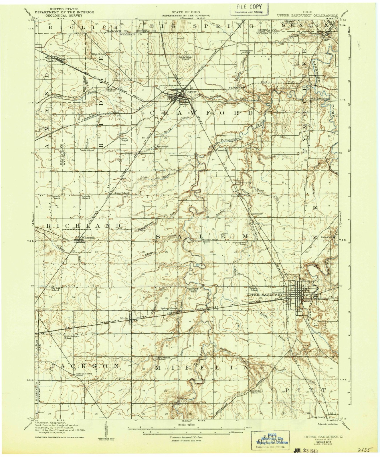
10 topographic sheets cover this place, the earliest surveyed in 1907 and the latest in 1986. It stands in Crawford Township. It lies in ZIP code area 43316. It stands on Lick Run. The Survey maps it on the McCutchenville quadrangle.
Then and now
1907 to 1986The same ground, surveyed 79 years apart. Drag the handle to wipe between them. Both sheets are United States Geological Survey originals; neither has been altered.

Topographic sheets covering this place
10 sheetsMatched by testing this settlement's coordinate against the published boundary of every sheet in the United States Geological Survey's historical collection. Each opens the scanned sheet at the Survey.
- 1907 USGS Upper Sandusky quadrangle1:62500
- 1950 USGS Marion quadrangle1:250000
- 1960 USGS Mc Cutchenville quadrangle1:24000
- 1960 USGS Mc Cutchenville quadrangle1:24000
- 1962 USGS Marion quadrangle1:250000
- 1966 USGS Marion quadrangle1:250000
- 1966 USGS Marion quadrangle1:250000
- 1966 USGS Marion quadrangle1:250000
- 1986 USGS Marion quadrangle1:100000
- 1986 USGS Marion quadrangle1:100000







In the county-history sources
1,621 words on this townshipPast and Present of Wyandot County Ohio, published 1913 names this settlement in its chapter on Crawford Township. These are the passages that mention it, exactly as the scans read.
Crawford township is perhaps more replete with historic incidents than any other township in Wvyandot county, for it was here that the lamented Colonel Crawford suffered death by the Indians by being burnt at the stake, in 1782, and here a monument has since been erected to his memory. And it was in the wilds of this locality that the seven-year-old child of Mathew Brayton was captured by the Indians and never found.
Passage source: Past and Present of Wyandot County Ohio, published 1913.
Crawford township was organized in the county of Crawford in 1825, and became a part of Wyandot county in 1845. It is one of the northern tiers of townships of the county, and is bounded on the north by Seneca county, on the east by Tymochtee township, on the south by Salem township and on the west by Ridge township.
Passage source: Past and Present of Wyandot County Ohio, published 1913.
The territory comprised in this township was once one of the most famous of the Indian sporting grounds, being the seat of an extensive village of Delaware Indians, who, under command of Captain Pipe, the notorious Delaware chief, executed Col. William Crawford. The exact spot where the burning took place is not now positively known.
Passage source: Past and Present of Wyandot County Ohio, published 1913.
Machine-read from a century-old scan, so expect the errors a machine makes: misspelled names, dropped words, stray characters.
Read the whole chapter on Crawford Township - it names this place 6 more 6 times.
Specimens collected near this place
12 of 247 shownRegional context, not property-specific evidence. Museums hold 247 specimens collected within 10 miles of Crawford between 1885 and 1975: 216 Animalia, 28 Fungi, 3 Plantae. 12 distinct Species records are shown. Collected by Allen, J. M., Blyth & Katz, Blyth, D. (David) & Katz, D. (David) and others. Each is a physical object with a catalogue number, and each entry opens the museum's record. This is what was collected and kept, not a survey of what lives here - nothing can be concluded from a species being absent.
| Image | Species | Year | Collected by | Where, as recorded |
|---|---|---|---|---|
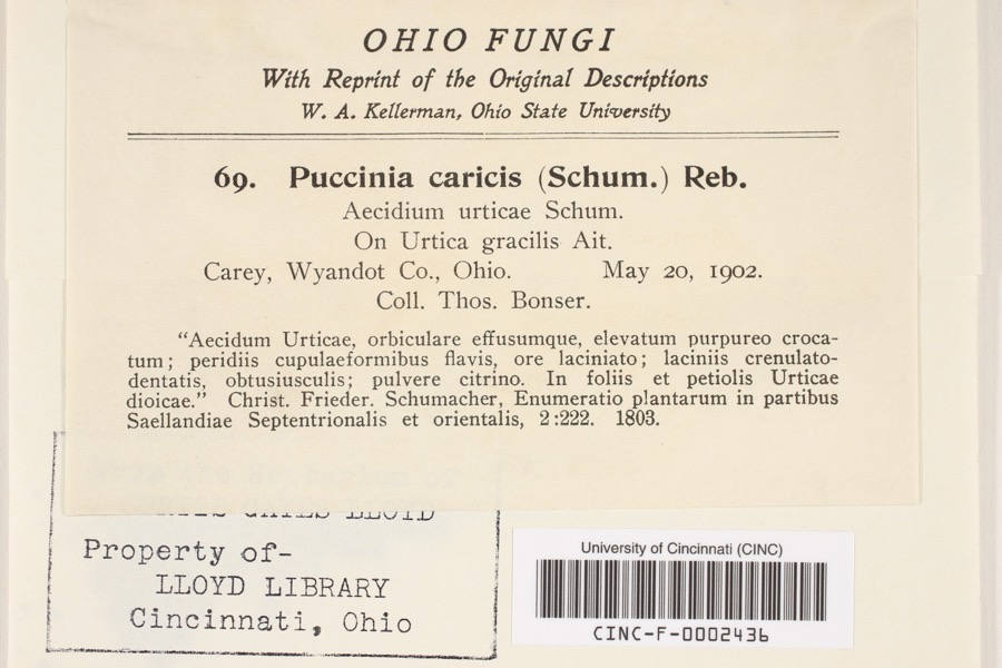 | Puccinia P.Micheli ex Haller, 1768 | 1902 | Bonser, T. | Carey |
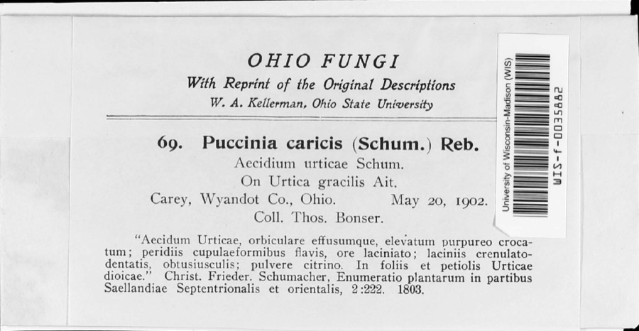 | Puccinia caricina DC. | 1902 | T. Bonser | |
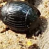 | Hister abbreviatus Fabricius, 1775 | 1885 | not recorded | Crane |
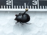 | Margarinotus faedatus (J.E.LeConte, 1845) | 1885 | not recorded | Crane |
 | Cambarus rusticus Girard, 1852 | 1893 | United States Fish Commission | McCutchenville, Sandusky River |
 | Notropis cornutus (Mitchill, 1817) | 1893 | not recorded | Sandusky River, Mccutchenville, Ohio |
 | Notropis rubellus (Agassiz, 1850) | 1893 | not recorded | Sandusky River, Mccutchenville, Ohio |
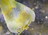 | Campylium stellatum (Hedw.) Lange & C.E.O.Jensen | 1899 | W. A. Kellerman | |
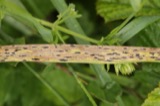 | Phyllachora graminis (Pers.) Fuckel | 1900 | Bonser Thos. | Wyandot Co. |
| Phyllachora vulgata Theiss. & Syd. | 1900 | Thos. Bouser | Big Spring Prairie | |
 | Corvus brachyrhynchos brachyrhynchos C.L.Brehm, 1822 | 1901 | Thos A. Bonser | Carey, S. of |
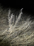 | Lepidium campestre (L.) W.T.Aiton | 1901 | Bonser, T.A. | Carey |
All 247 specimens within 10 miles, at the Global Biodiversity Information Facility.
Mines and quarries near this place
2 within 5 milesRegional context, not property-specific evidence. The federal mineral resources record lists 2 workings within 5 miles of Crawford: 1 plant, 1 producer. All of them still produce. What was taken out: Stone, Crushed/Broken. Distance is straight-line from the map coordinates, so a quarry counted here may appear on a neighbouring settlement's page as well.
| Where | Site | Commodity | Status | Recorded |
|---|---|---|---|---|
| Carey Plant & Quarry | Stone, Crushed/Broken | Plant | ||
| Wyandot Dolomite, Inc. | Stone, Crushed/Broken | Producer |
Storms near this place
2 since 2020Regional context, not property-specific evidence. The National Weather Service names Crawford in 2 storm reports between 2020 and 2025: 2 thunderstorm wind. No death or injury is recorded in these reports. Each account below is quoted exactly as the forecast office filed it, from the NOAA Storm Events Database, and each date opens the federal record of that event.
| When | Event | Place named | Harm | What the report says |
|---|---|---|---|---|
| June 2020 | Thunderstorm Wind | Crawford | $10,000 | Wyandot County Sheriff Dispatch and a social media post reported several trees down in the Carey area in northwestern Wyandot County. |
| June 2025 | Thunderstorm Wind | Crawford | - | Several trees, about one to two feet in diameter, were snapped at their bases about two-miles southeast of Carey. |
Nearest settlements
The eight closest, with where each one stands in the county. Distances are straight-line, computed from the Geographic Names Information System coordinates.
| Map | Place | Distance | Sheets |
|---|---|---|---|
| Lovell | 2.1 miles | 10 | |
| Carey | 3.1 miles | 11 | |
| Tymochtee | 4.3 miles | 10 | |
| Smithville | 6.1 miles | 11 | |
| McCutchenville | 6.6 miles | 10 | |
| Upper Sandusky | 7.2 miles | 10 | |
| Belle Vernon | 7.4 miles | 11 | |
| Mononcue | 7.5 miles | 10 |
Provenance
This settlement is recorded in the Geographic Names Information System as feature 1061004. The sheet list is computed by point-in-boundary test against the United States Geological Survey's historical topographic inventory. Both are works of the United States government and carry no copyright under 17 U.S.C. 105.
Specimens. Global Biodiversity Information Facility (GBIF), https://www.gbif.org/. Only records licensed CC0 or CC BY are used. Records licensed CC BY-NC are excluded because this site carries advertising. Images are checked individually and any whose licence is non-commercial, no-derivatives or unreadable is refused.
Mines and quarries. USGS Mineral Resources Data System (MRDS) https://mrdata.usgs.gov/mrds/ A work of the United States government, no copyright under 17 U.S.C. 105.
Storms. NOAA National Centers for Environmental Information, Storm Events Database https://www.ncei.noaa.gov/stormevents/ A work of the United States government, no copyright under 17 U.S.C. 105. Narratives are quoted verbatim from the National Weather Service report and are not edited or summarised.