 Block
Block
Patterson, Ohio
12 topographic sheets cover this place, the earliest surveyed in 1905 and the latest in 1986. It stands in Jackson Township. It lies in ZIP code area 45843. The Survey maps it on the Forest quadrangle. 130 people lived here at the 2020 count. It stands 922 feet above sea level.
Population over time
2 figuresPatterson fell from 139 to 130 between 2010 and 2020. These are the recorded population figures Wikidata holds for this place, reached through the Geographic Names Information System number this page is keyed on rather than by name, so they belong to this place and not to another of the same name. Most are census counts, but not all are: an early figure may be a founding or settlement estimate. The change column is computed, and is left blank where more than 20 years separate a figure from the one before it, because a gap that long is not a change between two counts.
| Year | People | Change |
|---|---|---|
| 2010 | 139 | |
| 2020 | 130 | -9 (-6%) |
Then and now
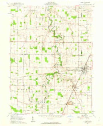
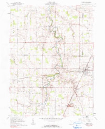
1905 to 1986The same ground, surveyed 81 years apart. Drag the handle to wipe between them. Both sheets are United States Geological Survey originals; neither has been altered.

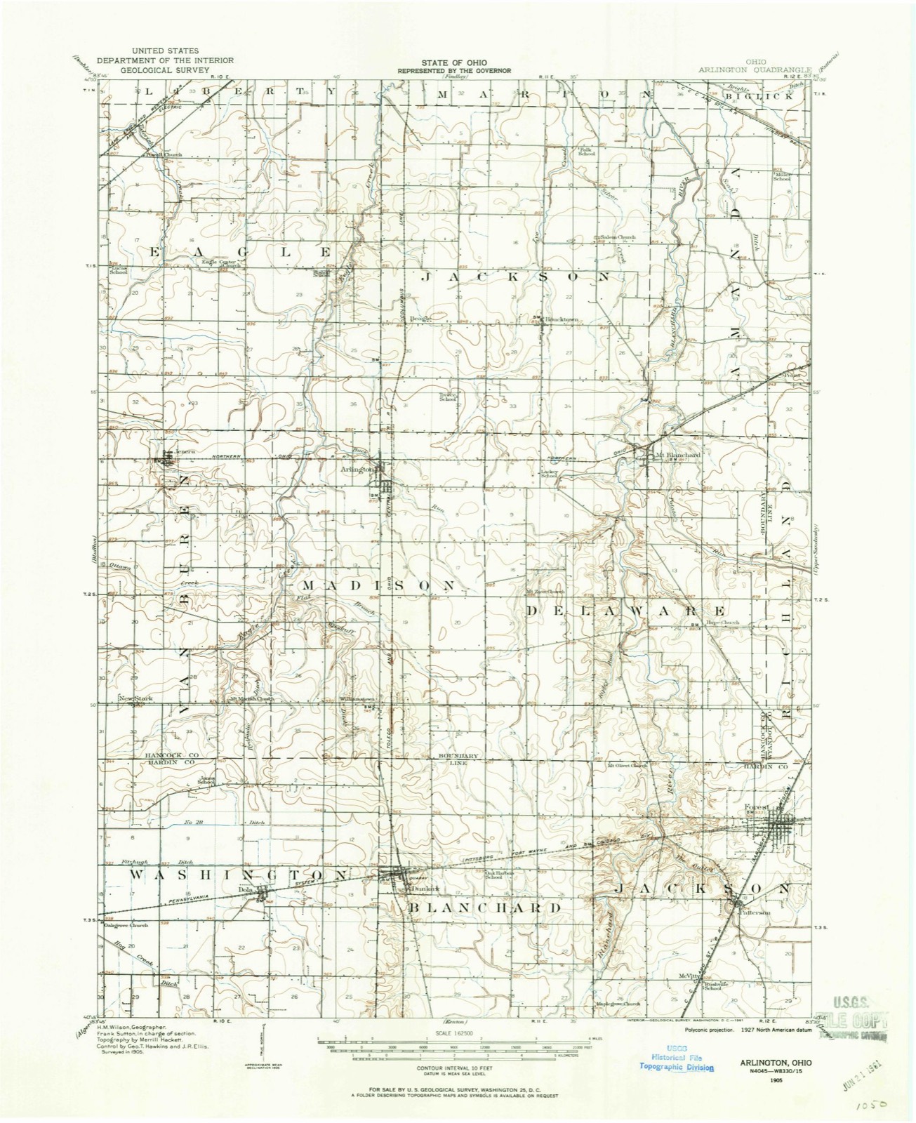
Topographic sheets covering this place
12 sheetsMatched by testing this settlement's coordinate against the published boundary of every sheet in the United States Geological Survey's historical collection. Each opens the scanned sheet at the Survey.
- 1905 USGS Arlington quadrangle1:62500
- 1907 USGS Arlington quadrangle1:62500
- 1907 USGS Arlington quadrangle1:24000
- 1950 USGS Marion quadrangle1:250000
- 1961 USGS Forest quadrangle1:24000
- 1961 USGS Forest quadrangle1:24000
- 1962 USGS Marion quadrangle1:250000
- 1966 USGS Marion quadrangle1:250000
- 1966 USGS Marion quadrangle1:250000
- 1966 USGS Marion quadrangle1:250000
- 1986 USGS Marion quadrangle1:100000
- 1986 USGS Marion quadrangle1:100000







In the county-history sources
15,061 words on this townshipThe History of Hardin County, Ohio, published 1883 names this settlement in its chapter on Jackson Township. These are the passages that mention it, exactly as the scans read.
The early records of the officials and elections of Jackson Township are not to be found, and are probably either lost or destroyed. But we are informed that the first election was held at the house of Joseph Barnes; then, for several successive years, they were held at the house of Israel Yauger, and then the place was regularly established at Patterson, and all voters of the township at each election repaired there to exercise their political prerogatives, until, a few years since, Forest became quite populous, and the township was divided into two voting precincts, one at Patterson and one at Forest. At the first election above mentioned, held at the house of Joseph Barnes, the following officers were elected, viz.: Trustees, Edward Warner, Joseph Barnes and Harry Bowers; Justice of the Peace, John Howey; Clerk, Mathew Cleveland; Treasurer, Jacob Deeringer. In 1881, there were cast the following number of votes: Patterson Pre-
Passage source: The History of Hardin County, Ohio, published 1883.
As the first settlement was made on the Blanchard, and the first family was Mr. James E. Hueston, so here, on the east side of that stream, on Mr. Hueston's land, near where the cemetery is located, or near where the pike crosses the stream, was erected the first schoolhouse - one of the primitive log houses - and John McVitty is said to have been the first teacher. This schoolhouse was used for school purposes about five years, at the expiration of which anew one was built on Section 12, on land which is now owned by D. Kellogg, and about the same time one was erected on Section 2, near where the District No. 2 Schoolhouse now stands. And thus, as the settlements increased in the various portions over the township, new districts were formed and schoolhouses erected; and finally the old, primitive cabins were supplanted by good frame and brick houses. And now (1882-83), the following is the condition of the schools in the township and in the townsof Forest and Patterson, as shown by the reports of the Boards of Education: Total receipts for school purposes for the schools (excluding those in Forest and Patterson), $5,029.30; total expenditure for the same, $3,- 615.95; balance on hand the 1st of September, 1882, $1,413.35. Number of schoolhouses, 5; number of teachers necessary to supply the same, 5; average wages of teachers - male, $33.93; female, $19.50. Average number of weeks schools were in session, 27; enrollment of scholars - boys, 96; girls, 100; total, 198. Total value of school property, $5,000.
Passage source: The History of Hardin County, Ohio, published 1883.
There are two incorporated towns in Jackson Township - Patterson and Forest. The former was platted and surveyed by Charles Arentschields, for P. C. Boslow and H. Gr. Harris, August 29, 1846, Mr. Boslow owning all the land on the west side of Kenton street and Mr. Harris all on the east side. The name proposed for the town was Petersburg, but when the plat was recorded it was named Patterson, in honor of Robert Patterson, of Bellefontaine, Ohio, who was Secretary and Treasurer of the Mad River & Lake Erie Railroad, now the Indianapolis, Bloomington & Western, who was a special friend of Mr. Boslow. Since the original plat of the town was made and recorded, the following additions have been made: First, by H. G. Harris, on April 14, 1855; second, by George W. Jackson, December 13, 1855, and third, by John Funk, January 30, 1866. The town, as first incorporated, embiaced four entire sections of land, viz., Sections 17, 18, 19 and 20, and remained thus until February 6, 1883, when it was reduced to its present limits of less than one-quarter of a section. The first building erected in the town plat was a frame, by P. C. Boslow, 18x24 feet.
Passage source: The History of Hardin County, Ohio, published 1883.
Machine-read from a century-old scan, so expect the errors a machine makes: misspelled names, dropped words, stray characters.
Read the whole chapter on Jackson Township - it names this place 18 more 18 times.
Specimens collected near this place
12 of 18 shownRegional context, not property-specific evidence. Museums hold 18 specimens collected within 10 miles of Patterson between 1931 and 1973: 17 Animalia, 1 Fungi. 12 distinct Species records are shown. Collected by C.R. Neiswander, Curtis May, Eric H. Metzler and others. Each is a physical object with a catalogue number, and each entry opens the museum's record. This is what was collected and kept, not a survey of what lives here - nothing can be concluded from a species being absent.
| Image | Species | Year | Collected by | Where, as recorded |
|---|---|---|---|---|
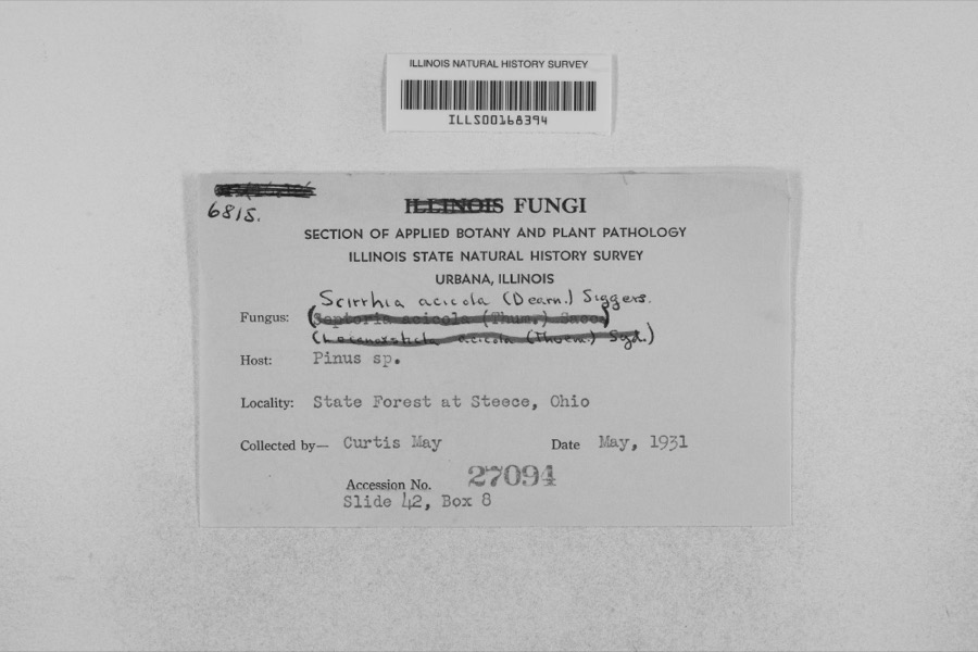 | Mycosphaerella dearnessii M.E.Barr | 1931 | Curtis May | State Forest at Steece |
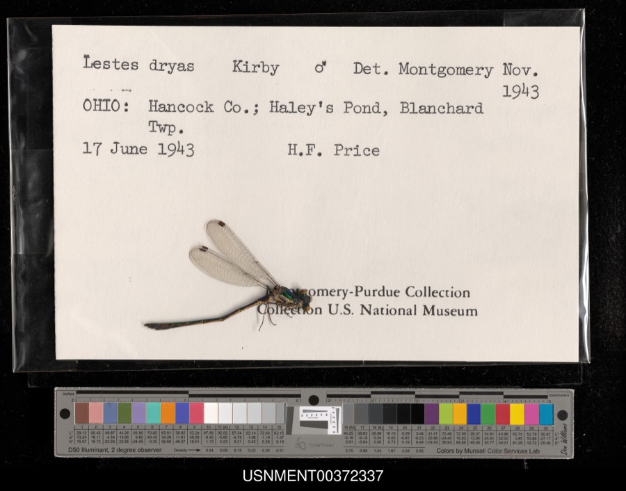 | Lestes dryas Kirby, 1890 | 1943 | H. Price | Blanchard Township, Haley's Pond |
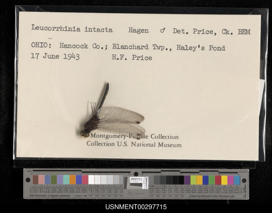 | Leucorrhinia intacta (Hagen, 1861) | 1943 | H. Price | Blanchard Township, Haley's Pond |
 | Cheumatopsyche campyla Ross, 1938 | 1939 | C.R. Neiswander | |
 | Acris crepitans Baird, 1854 | 1960 | FREDERICH R GEHLBACK | BLANCHARD TOWNSHIP SEC 9 BRUMLEYS WOODS |
 | Plethodon cinereus (Green, 1818) | 1960 | FREDERICH R GEHLBACK | BLANCHARD TOWNSHIP SEC 9 BRUMLEYS WOODS |
 | Pseudacris crucifer (Wied-Neuwied, 1838) | 1960 | FREDERICH R GEHLBACK | BLANCHARD TOWNSHIP SEC 9 BRUMLEYS WOODS |
 | Nerodia sipedon (Linnaeus, 1758) | 1965 | not recorded | [4.8 mi. W Forest] |
 | Regina septemvittata (Say, 1825) | 1965 | not recorded | [ca. 2.6 airmi. SSE Forest] |
 | Heterocampa Doubleday, 1841 | 1973 | Eric H. Metzler | Washington Township || 40.7667 -83.6833 |
| Lochmaeus bilineata Packard, 1864 | 1973 | Eric H. Metzler | Washington Township | |
| Macrurocampa marthesia Cramer | 1973 | Eric H. Metzler | Washington Township || 40.7667 -83.6833 |
All 18 specimens within 10 miles, at the Global Biodiversity Information Facility.
Mines and quarries near this place
3 within 5 milesRegional context, not property-specific evidence. The federal mineral resources record lists 3 workings within 5 miles of Patterson: 2 past producers, 1 producer. 1 still produces. What was taken out: Limestone, General, Stone, Stone, Crushed/Broken. Distance is straight-line from the map coordinates, so a quarry counted here may appear on a neighbouring settlement's page as well.
| Where | Site | Commodity | Status | Recorded |
|---|---|---|---|---|
| Boich Lime and Coal Quarry | Limestone, General | Past Producer | Sedimentary | |
| Boich Lime and Coal Quarry | Stone, Crushed/Broken | Past Producer | ||
| Standard Pit | Stone | Producer |
Storms near this place
6 since 2000Regional context, not property-specific evidence. The National Weather Service names Patterson in 6 storm reports between 2000 and 2023: 2 thunderstorm wind, 2 flood, 1 hail, 1 flash flood. No death or injury is recorded in these reports. Each account below is quoted exactly as the forecast office filed it, from the NOAA Storm Events Database, and each date opens the federal record of that event.
| When | Event | Place named | Harm | What the report says |
|---|---|---|---|---|
| July 2000 | Thunderstorm Wind | Patterson | $5,000 | Numerous trees were knocked down and .75 inch diameter hail fell. |
| August 2007 | Flood | Patterson | $2,000 | A vehicle was submerged in high water near the intersection of State Routes 53 and 81. |
| August 2023 | Thunderstorm Wind | Patterson | $1,000 | A large tree was downed. |
| July 2011 | Flash Flood | Patterson | $1,000 | A highway south of Forest was closed with 3 to 5 feet of water over the road due to heavy rainfall. |
| June 2015 | Flood | Patterson | - | Ohio State Route 53 was closed due to flooding between State Route 81 and Township Road 28. |
| May 2010 | Hail | Patterson | - | no account filed |
Nearest settlements
The eight closest, with where each one stands in the county. Distances are straight-line, computed from the Geographic Names Information System coordinates.
| Map | Place | Distance | Sheets |
|---|---|---|---|
| McVitty | 1.4 miles | 12 | |
| Forest | 1.7 miles | 12 | |
| Bridgeport | 4.7 miles | 12 | |
| Grant | 5.3 miles | 12 | |
| Dunkirk | 6.3 miles | 12 | |
| Walnut Grove | 6.8 miles | 12 | |
| Blanchard | 7.1 miles | 11 | |
| Dola | 8.9 miles | 12 |
Elsewhere
Matched on this settlement's Geographic Names Information System number rather than its name, so it cannot be a different place of the same name in another state.
| Wikipedia article on Patterson | An encyclopaedic summary. Its text is share-alike, so it is linked here rather than copied. |
| Wikidata item Q2668640 | The structured record the population and elevation above come from. Public domain (CC0). |
Provenance
This settlement is recorded in the Geographic Names Information System as feature 1057914. The sheet list is computed by point-in-boundary test against the United States Geological Survey's historical topographic inventory. Both are works of the United States government and carry no copyright under 17 U.S.C. 105.
Specimens. Global Biodiversity Information Facility (GBIF), https://www.gbif.org/. Only records licensed CC0 or CC BY are used. Records licensed CC BY-NC are excluded because this site carries advertising. Images are checked individually and any whose licence is non-commercial, no-derivatives or unreadable is refused.
Mines and quarries. USGS Mineral Resources Data System (MRDS) https://mrdata.usgs.gov/mrds/ A work of the United States government, no copyright under 17 U.S.C. 105.
Storms. NOAA National Centers for Environmental Information, Storm Events Database https://www.ncei.noaa.gov/stormevents/ A work of the United States government, no copyright under 17 U.S.C. 105. Narratives are quoted verbatim from the National Weather Service report and are not edited or summarised.