 Block
Block
Middletown, Ohio
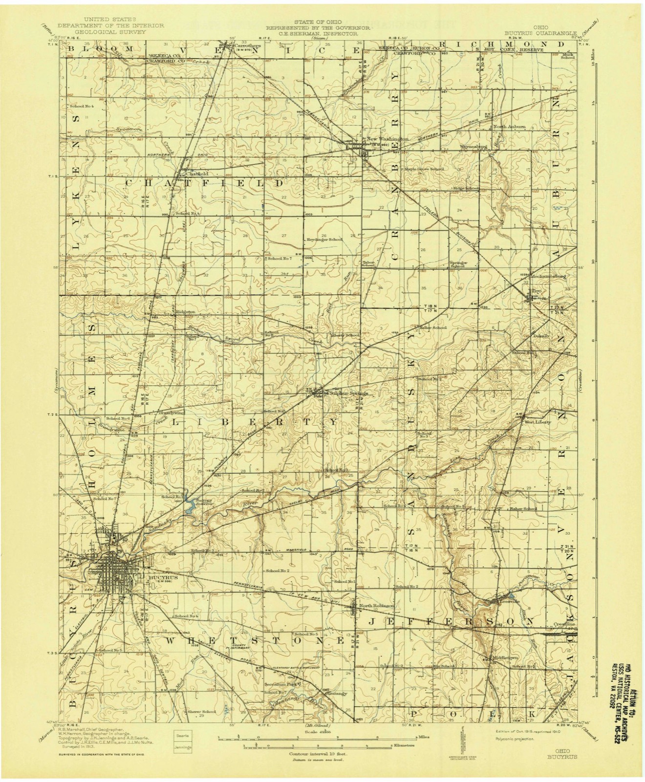
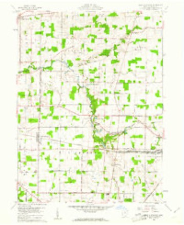
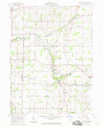
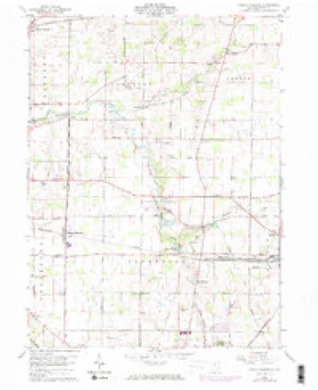
13 topographic sheets cover this place, the earliest surveyed in 1915 and the latest in 1994. It stands in Jefferson Township. It lies in ZIP code area 44833. It stands on Allen Run. The Survey maps it on the North Robinson quadrangle.
Then and now
1915 to 1994The same ground, surveyed 79 years apart. Drag the handle to wipe between them. Both sheets are United States Geological Survey originals; neither has been altered.

Topographic sheets covering this place
13 sheetsMatched by testing this settlement's coordinate against the published boundary of every sheet in the United States Geological Survey's historical collection. Each opens the scanned sheet at the Survey.
- 1915 USGS Bucyrus quadrangle1:62500
- 1943 USGS Bucyrus quadrangle1:62500
- 1950 USGS Marion quadrangle1:250000
- 1960 USGS North Robinson quadrangle1:24000
- 1960 USGS North Robinson quadrangle1:24000
- 1960 USGS North Robinson quadrangle1:24000
- 1960 USGS North Robinson quadrangle1:24000
- 1962 USGS Marion quadrangle1:250000
- 1966 USGS Marion quadrangle1:250000
- 1966 USGS Marion quadrangle1:250000
- 1966 USGS Marion quadrangle1:250000
- 1986 USGS Mansfield quadrangle1:100000
- 1994 USGS Mansfield quadrangle1:100000







In the county-history sources
11,610 words on this townshipHistory of Crawford County and Ohio : Containing a History of the State of Ohio, from Its Earliest Settlement to the Present Time ... a History of Crawford County ... Biographical Sketches, Portraits of Some of the Early Settlers and Prominent Men, Etc, published 1881 names this settlement in its chapter on Jefferson Township. These are the passages that mention it, exactly as the scans read.
MICHAEL IIERSHNER, farmer; P. 0. Galion ; was born in York Co., Penn., in 1815, son of Henry and Elizabeth Hershner, who were also natives of Pennsylvania. In 1825, they came to Crawford Co., and settled in what is now Jefferson Township, one mile south of where Mr. Hershner now lives, where the father entered a half-section of land, all of which they cleared and improved. His father died about the year 1850, and his mother in 1853. In the father's family there were nine children. The subject of this sketch spent his youth and early manhood with his parents, and received a common-school education. He was married in 1835, to Catharine Horn ; she was also born in Pennsylvania and came to Crawford Co. in 1835, the j'ear she was married. From this union, there were nine children - Henry, Elizabeth, Ellen, Adam, John, Jeremiah, Marj', William 0. and Lydia V. When Mr. Hershner began business for him.self, he had some assistance from his father, but has made most of his present possessions by his own endeavors ; in 1839, he and his brother purchased a saw-mill at Middletown, which they worked for five years, and with that exception Mr. Hershner has followed farming and stock-growing for a business. He had one son in the late war, Adam, enlisted in 1862, and served three 3-ears, and when his time was out enlisted again and served nearly a year longer ; first enlisted in Co. K, 64th 0. V. I. He took part in a number of engagements, and was wounded at Murfreesboro.
Passage source: History of Crawford County and Ohio : Containing a History of the State of Ohio, from Its Earliest Settlement to the Present Time ... a History of Crawford County ... Biographical Sketches, Portraits of Some of the Early Settlers and Prominent Men, Etc, published 1881.
Machine-read from a century-old scan, so expect the errors a machine makes: misspelled names, dropped words, stray characters.
Specimens collected near this place
12 of 137 shownRegional context, not property-specific evidence. Museums hold 137 specimens collected within 10 miles of Middletown between 1842 and 1973: 114 Animalia, 13 Plantae, 8 Fungi, 2 Chromista. 12 distinct Species records are shown. Collected by Beal, L. E., Benjamin, J. R., Chase, H. (Hazel) and others. Each is a physical object with a catalogue number, and each entry opens the museum's record. This is what was collected and kept, not a survey of what lives here - nothing can be concluded from a species being absent.
| Image | Species | Year | Collected by | Where, as recorded |
|---|---|---|---|---|
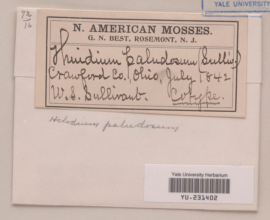 | Helodium paludosum (Austin) Austin ex Broth. | 1842 | William S. Sullivant | |
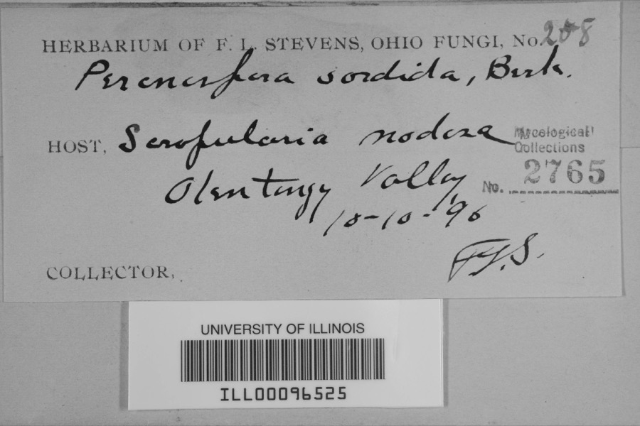 | Peronospora sordida Berk. & Broome | 1896 | F.L. Stevens | Olentangy Valley |
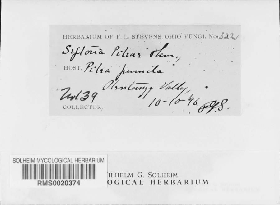 | Septoria E.M.Fries, 1819 | 1896 | F. L. Stevens | Olentangy Valley; 40.761724 -82.873517 |
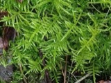 | Cirriphyllum piliferum (Hedw.) Grout | 1842 | W. S. Sullivant | |
 | Drepanocladus polycarpos (Blandow ex Voit) Warnst. | 1842 | W. S. Sullivant | |
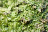 | Lophocolea heterophylla (Schrad.) Dumort. | 1844 | not recorded | |
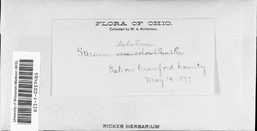 | Stereum lobatum (Kunze ex Fr.) Fr. | 1897 | W.A. Kellerman | |
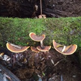 | Stereum versicolor (Sw.) Fr., 1838 | 1897 | W. A. Kellerman | Galion. |
 | Gymnoconia interstitialis (Schltdl.) Lagerh. | 1906 | Hieber Christina | Bucyrus |
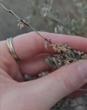 | Puccinia chrysanthemi Roze | 1922 | Orewiler Henry | Tiro |
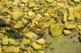 | Lythrurus fasciolaris (Gilbert, 1891) | 1927 | Wickliff, E. L. (Edward L.) | Olentangy River, within Whetstone township, near Martel, Whetstone township |
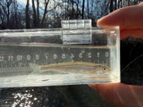 | Notropis photogenis (Cope, 1865) | 1927 | Wickliff, E. L. (Edward L.) | Olentangy River, within Whetstone township, near Martel, Whetstone township |
All 137 specimens within 10 miles, at the Global Biodiversity Information Facility.
Mines and quarries near this place
2 within 5 milesRegional context, not property-specific evidence. The federal mineral resources record lists 2 workings within 5 miles of Middletown: 2 past producers. None of them still produces. What was taken out: Sand and Gravel, Construction. Distance is straight-line from the map coordinates, so a quarry counted here may appear on a neighbouring settlement's page as well.
| Where | Site | Commodity | Status | Recorded |
|---|---|---|---|---|
| Crawford Pit | Sand and Gravel, Construction | Past Producer | Sedimentary | |
| Crawford Pit | Sand and Gravel, Construction | Past Producer |
Storms near this place
2 since 2011Regional context, not property-specific evidence. The National Weather Service names Middletown in 2 storm reports between 2011 and 2026: 1 flash flood, 1 hail. No death or injury is recorded in these reports. Each account below is quoted exactly as the forecast office filed it, from the NOAA Storm Events Database, and each date opens the federal record of that event.
| When | Event | Place named | Harm | What the report says |
|---|---|---|---|---|
| May 2011 | Flash Flood | Middletown | $1,000 | Multiple thunderstorms move over central Ohio. A strong storm with rainfall rates over an inch per hour hit late on the 25th. Numerous roads were flooded and several were closed. In Crestline some families had to be evacuated to to rising flood waters from a local creek. |
| March 2026 | Hail | Middletown | - | Hail up to quarter-size on the north side of Galion. |
Nearest settlements
The eight closest, with where each one stands in the county. Distances are straight-line, computed from the Geographic Names Information System coordinates.
| Map | Place | Distance | Sheets |
|---|---|---|---|
| Leesville | 1.5 miles | 13 | |
| Galion | 2.8 miles | 13 | |
| Crestline | 3.1 miles | 13 | |
| Olentangy Estates | 3.4 miles | 13 | |
| Spring Valley Court | 3.4 miles | 13 | |
| North Robinson | 3.7 miles | 13 | |
| Olentangy | 4.4 miles | 13 | |
| Biddle (historical) | 4.8 miles | 13 |
Elsewhere
Matched on this settlement's Geographic Names Information System number rather than its name, so it cannot be a different place of the same name in another state.
| Wikipedia article on Middletown | An encyclopaedic summary. Its text is share-alike, so it is linked here rather than copied. |
| Wikidata item Q18344669 | The structured record the population and elevation above come from. Public domain (CC0). |
Provenance
This settlement is recorded in the Geographic Names Information System as feature 1056424. The sheet list is computed by point-in-boundary test against the United States Geological Survey's historical topographic inventory. Both are works of the United States government and carry no copyright under 17 U.S.C. 105.
Specimens. Global Biodiversity Information Facility (GBIF), https://www.gbif.org/. Only records licensed CC0 or CC BY are used. Records licensed CC BY-NC are excluded because this site carries advertising. Images are checked individually and any whose licence is non-commercial, no-derivatives or unreadable is refused.
Mines and quarries. USGS Mineral Resources Data System (MRDS) https://mrdata.usgs.gov/mrds/ A work of the United States government, no copyright under 17 U.S.C. 105.
Storms. NOAA National Centers for Environmental Information, Storm Events Database https://www.ncei.noaa.gov/stormevents/ A work of the United States government, no copyright under 17 U.S.C. 105. Narratives are quoted verbatim from the National Weather Service report and are not edited or summarised.