 Block
Block
North Robinson, Ohio
13 topographic sheets cover this place, the earliest surveyed in 1915 and the latest in 1994. It stands in Whetstone Township. It lies in ZIP code area 44827. The Survey maps it on the North Robinson quadrangle. 219 people lived here at the 2020 count. It stands 1,073 feet above sea level.
Population over time
2 figuresNorth Robinson grew from 205 to 219 between 2010 and 2020. These are the recorded population figures Wikidata holds for this place, reached through the Geographic Names Information System number this page is keyed on rather than by name, so they belong to this place and not to another of the same name. Most are census counts, but not all are: an early figure may be a founding or settlement estimate. The change column is computed, and is left blank where more than 20 years separate a figure from the one before it, because a gap that long is not a change between two counts.
| Year | People | Change |
|---|---|---|
| 2010 | 205 | |
| 2020 | 219 | +14 (+7%) |
Then and now
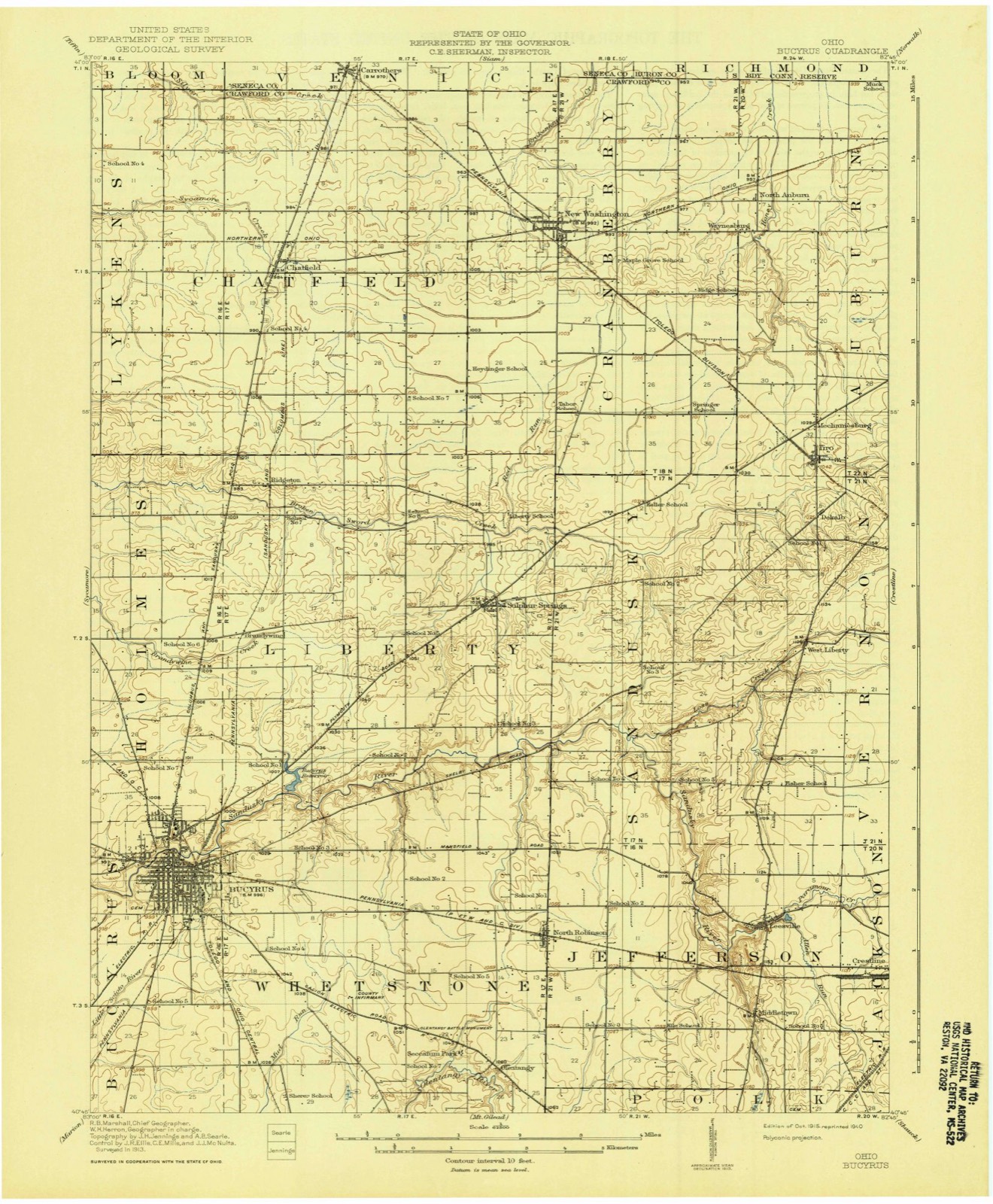
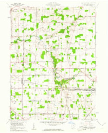
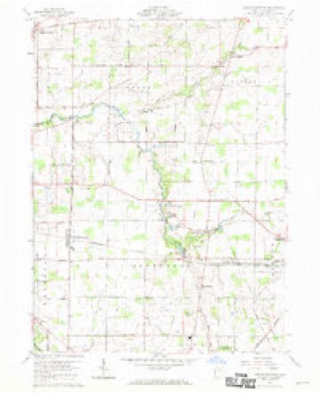
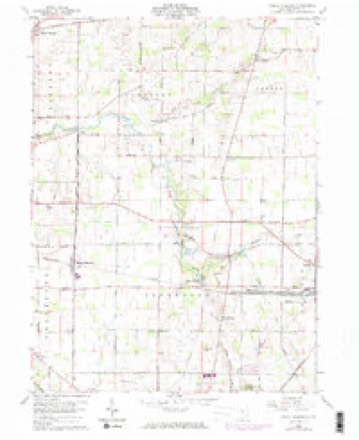
1915 to 1994The same ground, surveyed 79 years apart. Drag the handle to wipe between them. Both sheets are United States Geological Survey originals; neither has been altered.

Topographic sheets covering this place
13 sheetsMatched by testing this settlement's coordinate against the published boundary of every sheet in the United States Geological Survey's historical collection. Each opens the scanned sheet at the Survey.
- 1915 USGS Bucyrus quadrangle1:62500
- 1943 USGS Bucyrus quadrangle1:62500
- 1950 USGS Marion quadrangle1:250000
- 1960 USGS North Robinson quadrangle1:24000
- 1960 USGS North Robinson quadrangle1:24000
- 1960 USGS North Robinson quadrangle1:24000
- 1960 USGS North Robinson quadrangle1:24000
- 1962 USGS Marion quadrangle1:250000
- 1966 USGS Marion quadrangle1:250000
- 1966 USGS Marion quadrangle1:250000
- 1966 USGS Marion quadrangle1:250000
- 1986 USGS Mansfield quadrangle1:100000
- 1994 USGS Mansfield quadrangle1:100000







In the county-history sources
65,288 words on this townshipHistory of Crawford County and Ohio : Containing a History of the State of Ohio, from Its Earliest Settlement to the Present Time ... a History of Crawford County ... Biographical Sketches, Portraits of Some of the Early Settlers and Prominent Men, Etc, published 1881 names this settlement in its chapter on Whetstone Township. These are the passages that mention it, exactly as the scans read.
widely known in the county. They have offlciated in various township and county offices, always with honor to themselves. They came to the count}' in about 1824, and have been Whigs and Republicans from the first. The subject of this memoir was born in Whetstone Township, Nov. 16, 1840, and is the son of James W. and Marj- (Peterman) Jloderwell, both of whom were natives of the Keystone State. They were married in Crawford Co. The father lives in Indiana, and his son, William, lives on the farm first owned by Mr. Howard and afterward by William Rowse. His brothers and sisters were six in number, and his brother J. Q. enlisted in the late war, in the 123d 0. V. I., in which he served some two years with signal bravery. Mr. Moderwell's wife was Miss Mahala J. Beck, the marriage occurring Nov. 17, 1864. This lady was born in Jackson Township. Crawford Co., Ohio, Nov. 13, 1844. To his union was born a family of five children, four of whom are yet living - Laura B., William P., Ellen A. F.,"and Robert, and Isaac W. deceased. The father, James W. Moderwell, was a carpenter by trade, which occupation was followed for a number of years. For the past thirty years he has been extensively engaged in dealing in live-stock, of which he is a reliable and accurate judge. William and J. Q. Moderwell and Edward R. Faulkner, during the winter of 1875-76, purchased and shipped from North Robinson and Crestline over §100,000 worth of live stock. Both before and since that date they have dealt extensiveh' in the same business, and are among the best stock judges in the count}-. They are prominent farmers and influential citizens.
Passage source: History of Crawford County and Ohio : Containing a History of the State of Ohio, from Its Earliest Settlement to the Present Time ... a History of Crawford County ... Biographical Sketches, Portraits of Some of the Early Settlers and Prominent Men, Etc, published 1881.
Machine-read from a century-old scan, so expect the errors a machine makes: misspelled names, dropped words, stray characters.
Read the whole chapter on Whetstone Township - it names this place 5 more 5 times.
Specimens collected near this place
12 of 140 shownRegional context, not property-specific evidence. Museums hold 140 specimens collected within 10 miles of North Robinson between 1842 and 1973: 117 Animalia, 13 Plantae, 8 Fungi, 2 Chromista. 12 distinct Species records are shown. Collected by Beal, L. E., Benjamin, J. R., Chase, H. (Hazel) and others. Each is a physical object with a catalogue number, and each entry opens the museum's record. This is what was collected and kept, not a survey of what lives here - nothing can be concluded from a species being absent.
| Image | Species | Year | Collected by | Where, as recorded |
|---|---|---|---|---|
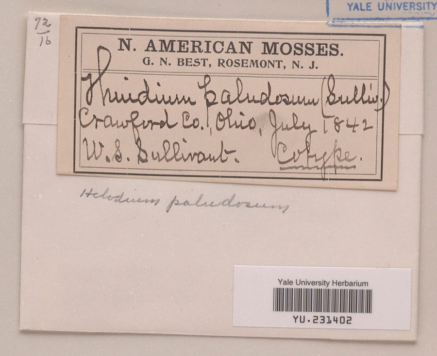 | Helodium paludosum (Austin) Austin ex Broth. | 1842 | William S. Sullivant | |
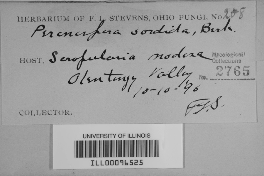 | Peronospora sordida Berk. & Broome | 1896 | F.L. Stevens | Olentangy Valley |
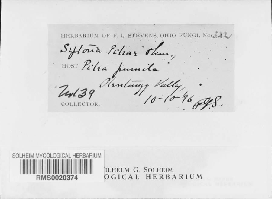 | Septoria E.M.Fries, 1819 | 1896 | F. L. Stevens | Olentangy Valley; 40.761724 -82.873517 |
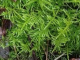 | Cirriphyllum piliferum (Hedw.) Grout | 1842 | W. S. Sullivant | |
 | Drepanocladus polycarpos (Blandow ex Voit) Warnst. | 1842 | W. S. Sullivant | |
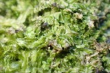 | Lophocolea heterophylla (Schrad.) Dumort. | 1844 | not recorded | |
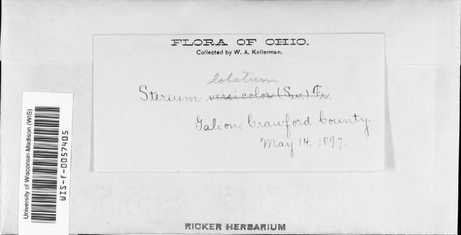 | Stereum lobatum (Kunze ex Fr.) Fr. | 1897 | W.A. Kellerman | |
 | Stereum versicolor (Sw.) Fr., 1838 | 1897 | W. A. Kellerman | Galion. |
 | Gymnoconia interstitialis (Schltdl.) Lagerh. | 1906 | Hieber Christina | Bucyrus |
 | Puccinia chrysanthemi Roze | 1922 | Orewiler Henry | Tiro |
 | Lythrurus fasciolaris (Gilbert, 1891) | 1927 | Wickliff, E. L. (Edward L.) | Olentangy River, within Whetstone township, near Martel, Whetstone township |
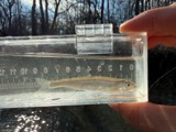 | Notropis photogenis (Cope, 1865) | 1927 | Wickliff, E. L. (Edward L.) | Olentangy River, within Whetstone township, near Martel, Whetstone township |
All 140 specimens within 10 miles, at the Global Biodiversity Information Facility.
Storms near this place
8 since 2006Regional context, not property-specific evidence. The National Weather Service names North Robinson in 8 storm reports between 2006 and 2024: 3 hail, 3 thunderstorm wind, 2 tornado. No death or injury is recorded in these reports. Each account below is quoted exactly as the forecast office filed it, from the NOAA Storm Events Database, and each date opens the federal record of that event.
| When | Event | Place named | Harm | What the report says |
|---|---|---|---|---|
| September 2017 | Tornado (EF2) | North Robinson | $1,250,000 | An EF0 tornado touched down in rural Crawford County about three quarters of a mile west of North Robinson. The initial touchdown was in a cornfield west of Olentangy Road about half way between Lower Leesville Road and Crestline Road. The tornado then continued east and moved across the northern half of North Robinson causing extensive damage. The tornado briefly reached EF2 intensity as it moved through the town. Several garages were destroyed and one home was heavily damaged after losing a large section of roof. Other homes along the path sustained lesser amounts of damage, mainly in the form of lost siding or shingles. One home did have a brick chimney toppled. Tree damage in the town was extensive. The tornado continued east over open farmland and eventually crossed the Sandusky River. The tornado then intensified to EF2 as it crossed State Route 598 north of Leesville. A home along State Route 598 was blown of it's foundation and destroyed. A second home nearby lost large sections of roofing. The tornado then continued east northeast snapping dozens of hardwood trees and leveling three farm buildings near where the Lincoln Highway and Krichbaum Road intersect. The tornado then followed a track nearly parallel and just north of Krichbaum Road for a couple of miles. Several more farm buildings were damaged or destroyed and a home lost a portion of its roof before the tornado crossed into Richland County north of the intersection of Krichbaum Road and Crawford Richland Line Road. The tornado was on the ground for just over 8 miles in Crawford County and had a damage path of up to 400 yards in width. Hundreds of trees and many power poles were downed along the damage path. |
| July 2023 | Tornado (EF1) | North Robinson | $230,000 | This tornado began along Parcher Road, just north of County Route 13, where the tornado caused significant damage to a barn on the east side of Bucyrus. As the tornado traveled east-southeastward, it uprooted and snapped numerous trees. Twelve homes sustained moderate damage and one home was destroyed by downed trees and the tornado itself. The tornado also damaged three silos at Sunrise Cooperative, Inc. before ending very soon thereafter on the west side of Crestline. This tornado had peak intensity of EF1 with estimated peak winds of 105 mph. |
| May 2024 | Thunderstorm Wind | North Robinson | $10,000 | Camper destroyed completely and parts of it tossed about 50 to 60 feet into a field. Damage occurred about two-miles north of North Robinson. |
| June 2020 | Thunderstorm Wind | North Robinson | $5,000 | A Twitter user reported a semi truck was blown over by winds on US Route 30, south of North Robinson. |
| April 2014 | Hail | North Robinson | $5,000 | A trained weather spotter observed quarter size hail. Estimated wind speeds to 60 mph accompanied the hail. |
| April 2014 | Thunderstorm Wind | North Robinson | $3,000 | A trained weather spotter reported an estimated wind gust to 60 mph. Quarter size hail was accompanied the storm. |
| June 2006 | Hail | North Robinson | - | Nickel size hail was observed. |
| June 2008 | Hail | North Robinson | - | no account filed |
Nearest settlements
The eight closest, with where each one stands in the county. Distances are straight-line, computed from the Geographic Names Information System coordinates.
| Map | Place | Distance | Sheets |
|---|---|---|---|
| Olentangy | 2.3 miles | 13 | |
| Leesville | 3.7 miles | 13 | |
| Middletown | 3.7 miles | 13 | |
| Biddle (historical) | 3.9 miles | 13 | |
| Spring Valley Court | 4.2 miles | 13 | |
| Galion | 5.4 miles | 13 | |
| Olentangy Estates | 5.5 miles | 13 | |
| Sulphur Springs | 5.5 miles | 13 |
Elsewhere
Matched on this settlement's Geographic Names Information System number rather than its name, so it cannot be a different place of the same name in another state.
| Wikipedia article on North Robinson | An encyclopaedic summary. Its text is share-alike, so it is linked here rather than copied. |
| Wikidata item Q664339 | The structured record the population and elevation above come from. Public domain (CC0). |
Provenance
This settlement is recorded in the Geographic Names Information System as feature 1057730. The sheet list is computed by point-in-boundary test against the United States Geological Survey's historical topographic inventory. Both are works of the United States government and carry no copyright under 17 U.S.C. 105.
Specimens. Global Biodiversity Information Facility (GBIF), https://www.gbif.org/. Only records licensed CC0 or CC BY are used. Records licensed CC BY-NC are excluded because this site carries advertising. Images are checked individually and any whose licence is non-commercial, no-derivatives or unreadable is refused.
Storms. NOAA National Centers for Environmental Information, Storm Events Database https://www.ncei.noaa.gov/stormevents/ A work of the United States government, no copyright under 17 U.S.C. 105. Narratives are quoted verbatim from the National Weather Service report and are not edited or summarised.