 Block
Block
Crestline, Ohio
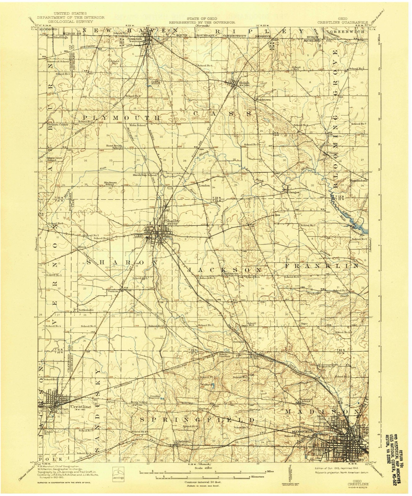
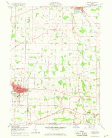
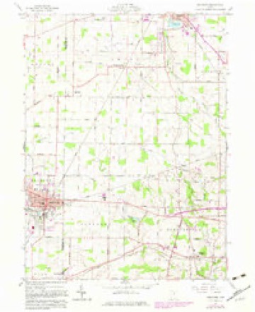
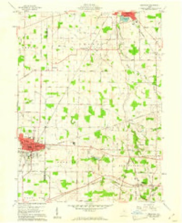
13 topographic sheets cover this place, the earliest surveyed in 1915 and the latest in 1994. It stands in Crestline Village. It lies in ZIP code area 44827. The Survey maps it on the Crestline quadrangle. 4,525 people lived here at the 2020 count. It stands 1,142 feet above sea level.
Then and now
1915 to 1994The same ground, surveyed 79 years apart. Drag the handle to wipe between them. Both sheets are United States Geological Survey originals; neither has been altered.

Topographic sheets covering this place
13 sheetsMatched by testing this settlement's coordinate against the published boundary of every sheet in the United States Geological Survey's historical collection. Each opens the scanned sheet at the Survey.
- 1915 USGS Crestline quadrangle1:62500
- 1943 USGS Crestline quadrangle1:62500
- 1943 USGS Crestline quadrangle1:62500
- 1950 USGS Marion quadrangle1:250000
- 1960 USGS Crestline quadrangle1:24000
- 1960 USGS Crestline quadrangle1:24000
- 1960 USGS Crestline quadrangle1:24000
- 1962 USGS Marion quadrangle1:250000
- 1966 USGS Marion quadrangle1:250000
- 1966 USGS Marion quadrangle1:250000
- 1966 USGS Marion quadrangle1:250000
- 1986 USGS Mansfield quadrangle1:100000
- 1994 USGS Mansfield quadrangle1:100000







Specimens collected nearby
12 of 80 shownMuseums hold 80 specimens collected within 10 miles of Crestline between 1896 and 1971: 66 Animalia, 7 Plantae, 5 Fungi, 2 Chromista. 12 distinct Species records are shown. Collected by Chase, H. (Hazel), F. L. Stevens, F.L. Stevens and others. Each is a physical object with a catalogue number, and each entry opens the museum's record. This is what was collected and kept, not a survey of what lives here - nothing can be concluded from a species being absent.
| Image | Species | Year | Collected by | Where, as recorded |
|---|---|---|---|---|
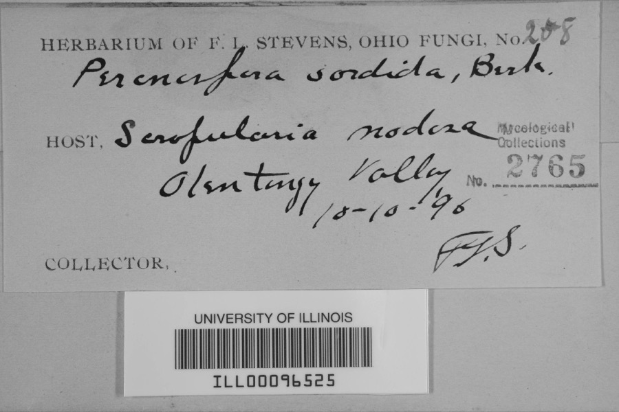 | Peronospora sordida Berk. & Broome | 1896 | F.L. Stevens | Olentangy Valley |
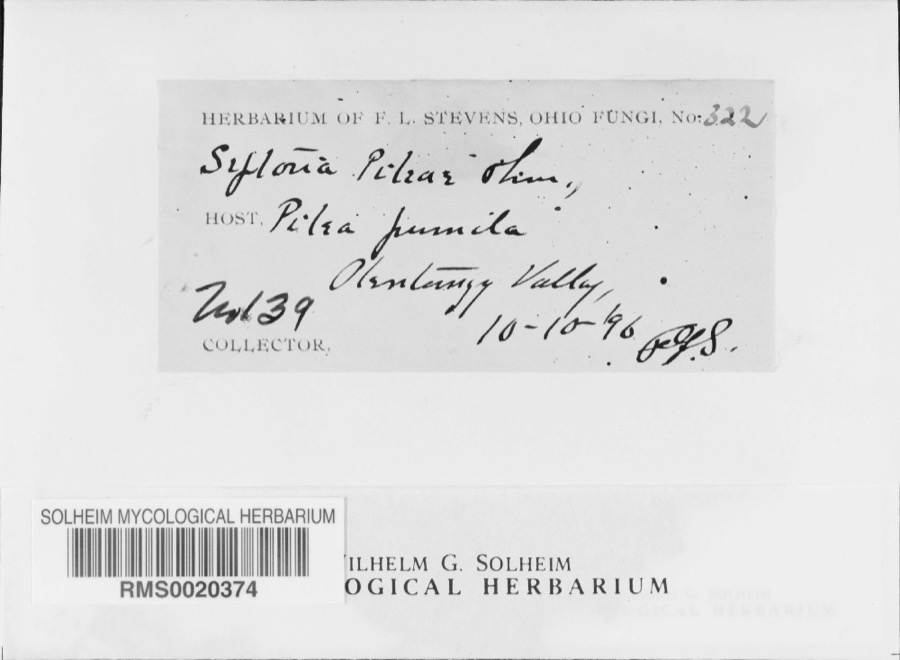 | Septoria E.M.Fries, 1819 | 1896 | F. L. Stevens | Olentangy Valley; 40.761724 -82.873517 |
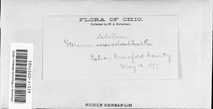 | Stereum lobatum (Kunze ex Fr.) Fr. | 1897 | W.A. Kellerman | |
 | Stereum versicolor (Sw.) Fr., 1838 | 1897 | W. A. Kellerman | Galion. |
 | Puccinia chrysanthemi Roze | 1922 | Orewiler Henry | Tiro |
 | Parascalops breweri (Bachman, 1842) | 1933 | Hope, CE | Crest Line |
 | Hemaris thysbe Fabricius, 1775 | 1939 | not recorded | Galion, Crawford Co., OH |
 | Lethe portlandia (Fabricius, 1781) | 1939 | Chase, H. (Hazel) | Galion, Crawford Co., OH |
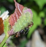 | Harkenclenus titus (Fabricius, 1793) | 1940 | not recorded | Galion, Crawford Co., OH |
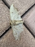 | Eacles imperialis Drury, 1773 | 1941 | Chase, H. (Hazel) | Galion, Crawford Co., OH |
| Satyrium calanus falacer (Godart, 1824) | 1942 | Chase, H. (Hazel) | Galion, Crawford Co., OH | |
| Battus philenor (Linnaeus, 1771) | 1944 | Chase, H. (Hazel) | Galion, Crawford Co., OH |
All 80 specimens within 10 miles, at the Global Biodiversity Information Facility.
Mines and quarries nearby
2 within 5 milesThe federal mineral resources record lists 2 workings within 5 miles of Crestline: 2 past producers. None of them still produces. What was taken out: Sand and Gravel, Construction. Distance is straight-line from the map coordinates, so a quarry counted here may appear on a neighbouring settlement's page as well.
| Where | Site | Commodity | Status | Recorded |
|---|---|---|---|---|
| Crawford Pit | Sand and Gravel, Construction | Past Producer | Sedimentary | |
| Crawford Pit | Sand and Gravel, Construction | Past Producer |
Storms nearby
19 since 1994The National Weather Service names Crestline in 19 storm reports between 1994 and 2026: 10 hail, 8 thunderstorm wind, 1 flash flood. The reports record 3 injuries. Each account below is quoted exactly as the forecast office filed it, from the NOAA Storm Events Database, and each date opens the federal record of that event.
| When | Event | Place named | Harm | What the report says |
|---|---|---|---|---|
| September 2002 | Thunderstorm Wind | Crestline | 2 hurt, $200,000 | Thunderstorm winds estimated to be in excess of 60 mph caused considerable damage in Crestline. A portion of a temporary stage collapsed at an outdoor festival. Two people were seriously injured with nine others sustaining minor injuries. The two seriously injured required extended hospitalization. Dozens of trees were downed. At least two homes and two cars were severely damaged by fallen trees. |
| August 1997 | Thunderstorm Wind | Crestline | 1 hurt, $4,000 | A large tree was downed onto a car. The car was demolished and the driver was injured and taken to the hospital. |
| June 2002 | Flash Flood | Crestline | $50,000 | Thunderstorms dumped over three inches of rain on southeastern Crawford County. Widespread street and lowland flooding occurred resulting in many roads being closed. Up to two feet of water was reported flowing over roads in Crestline. |
| August 2004 | Hail | Crestline | $25,000 | Hail the size of half dollars was observed in Crestline. Many cars sustained minor damage from the hail. |
| August 2004 | Thunderstorm Wind | Crestline | $25,000 | Thunderstorm winds downed many trees in the Crestline area. |
| June 2022 | Thunderstorm Wind | Crestline | $20,000 | Roof damage to building in Crestline. |
| September 2010 | Hail | Crestline | $10,000 | Thunderstorms produced quarter size hail. |
| April 2002 | Hail | Crestline | $10,000 | Dime to quarter size hail was reported. |
| July 2000 | Thunderstorm Wind | Crestline | $5,000 | Thunderstorm winds downed around 20 trees in a five block area in Crestline. |
| September 2010 | Thunderstorm Wind | Crestline | $2,000 | Thunderstorm winds downed several tree limbs. |
| October 2013 | Thunderstorm Wind | Crestline | $1,000 | Thunderstorm winds downed a tree that fell and blocked a road. |
| June 2010 | Thunderstorm Wind | Crestline | $1,000 | Thunderstorm winds downed a few large tree limbs. |
| March 2026 | Hail | Crestline | - | Hail up to quarter-size in Crestline. |
| June 2013 | Hail | Crestline | - | Hail bigger than quarters was observed. |
| June 2013 | Hail | Crestline | - | Quarter sized hail was reported. |
| March 2012 | Hail | Crestline | - | Half dollar sized hail was observed. |
| April 2006 | Hail | Crestline | - | Nickel size hail was observed. |
| May 2003 | Hail | Crestline | - | Dime size hail was observed. |
| April 1994 | Hail | Crestline | - | no account filed |
Newspapers printed here
0 digitised pages1 paper published in this town, digitised by the Library of Congress and free to read: 0 issues, 0 pages. Every page is searchable, so a name or a street can be looked for directly in what the town printed about itself at the time.
| Newspaper | Published |
|---|---|
| Crestline Advocate | 1869 to Current |
What the paper printed
13,108 wordsFront pages of the local paper, read from the Library of Congress scans: 5 issues spread across its run from 1920 to 1925, 13,108 words in total. Each is reproduced on its own page, exactly as the recogniser returned it.
These pages read less well than anything else here, and the number is worth stating: about three words in four come through cleanly, against nine in ten for the building records. An 1896 broadsheet sets eight-point type in seven columns on microfilm, which is the hardest thing in this archive to read by machine. We tested our own recognisers against the Library's and they were not better, so the Library's text is what appears, with the wholly unreadable columns removed. Read it as a guide to what the paper covered, and follow the link to the scan before quoting anything.
| Issue | Paper | Length |
|---|---|---|
| 1920-05-27 | Crestline Advocate | 3,269 words |
| 1920-07-29 | Crestline Advocate | 2,373 words |
| 1920-09-30 | Crestline Advocate | 2,767 words |
| 1920-12-02 | Crestline Advocate | 2,447 words |
| 1925-12-31 | Crestline Advocate | 2,252 words |
Nearest settlements
The eight closest, with where each one stands in the county. Distances are straight-line, computed from the Geographic Names Information System coordinates.
| Map | Place | Distance | Sheets |
|---|---|---|---|
| Leesville | 2.8 miles | 13 | |
| Middletown | 3.1 miles | 13 | |
| Galion | 4.7 miles | 13 | |
| Olentangy Estates | 5.5 miles | 13 | |
| West Liberty | 5.6 miles | 13 | |
| Biddle (historical) | 5.7 miles | 13 | |
| Spring Valley Court | 6.2 miles | 13 | |
| North Robinson | 6.4 miles | 13 |
Elsewhere
Matched on this settlement's Geographic Names Information System number rather than its name, so it cannot be a different place of the same name in another state.
| Wikipedia article on Crestline | An encyclopaedic summary. Its text is share-alike, so it is linked here rather than copied. |
| Wikidata item Q577383 | The structured record the population and elevation above come from. Public domain (CC0). |
Provenance
This settlement is recorded in the Geographic Names Information System as feature 1061006. The sheet list is computed by point-in-boundary test against the United States Geological Survey's historical topographic inventory. Both are works of the United States government and carry no copyright under 17 U.S.C. 105.
Specimens. Global Biodiversity Information Facility (GBIF), https://www.gbif.org/. Only records licensed CC0 or CC BY are used. Records licensed CC BY-NC are excluded because this site carries advertising. Images are checked individually and any whose licence is non-commercial, no-derivatives or unreadable is refused.
Mines and quarries. USGS Mineral Resources Data System (MRDS) https://mrdata.usgs.gov/mrds/ A work of the United States government, no copyright under 17 U.S.C. 105.
Storms. NOAA National Centers for Environmental Information, Storm Events Database https://www.ncei.noaa.gov/stormevents/ A work of the United States government, no copyright under 17 U.S.C. 105. Narratives are quoted verbatim from the National Weather Service report and are not edited or summarised.