 Block
Block
Moffitt, Ohio
9 topographic sheets cover this place, the earliest surveyed in 1956 and the latest in 1986. It stands in Blanchard Township. It lies in ZIP code area 45840. The Survey maps it on the McComb quadrangle. The federal gazetteer marks this settlement historical: it is no longer a populated place, though the surveys that recorded it still are.
Then and now
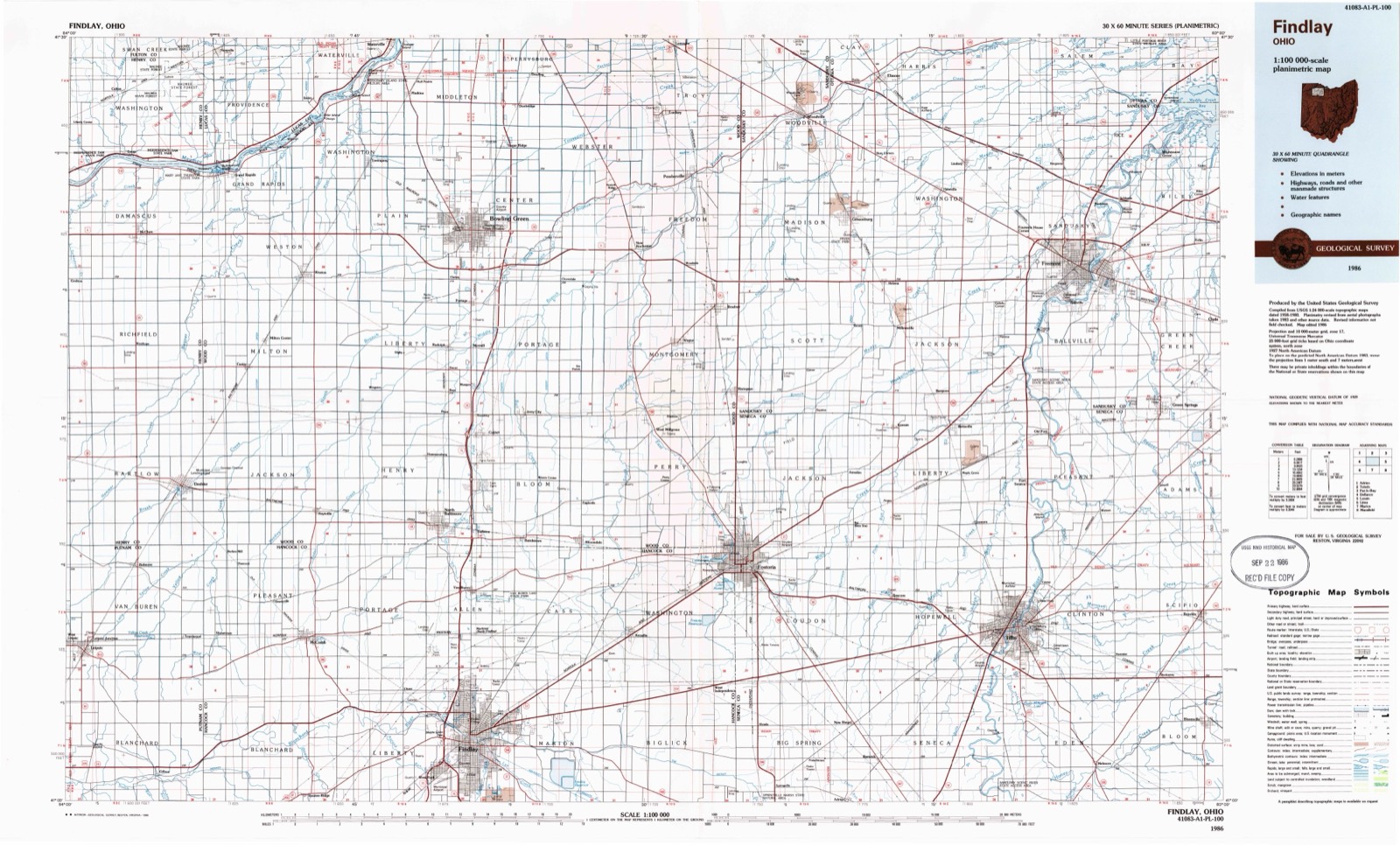
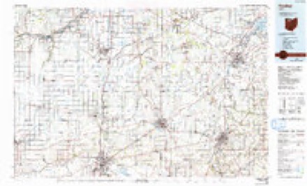
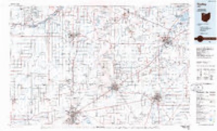
1956 to 1986The same ground, surveyed 30 years apart. Drag the handle to wipe between them. Both sheets are United States Geological Survey originals; neither has been altered.
Topographic sheets covering this place
9 sheetsMatched by testing this settlement's coordinate against the published boundary of every sheet in the United States Geological Survey's historical collection. Each opens the scanned sheet at the Survey.
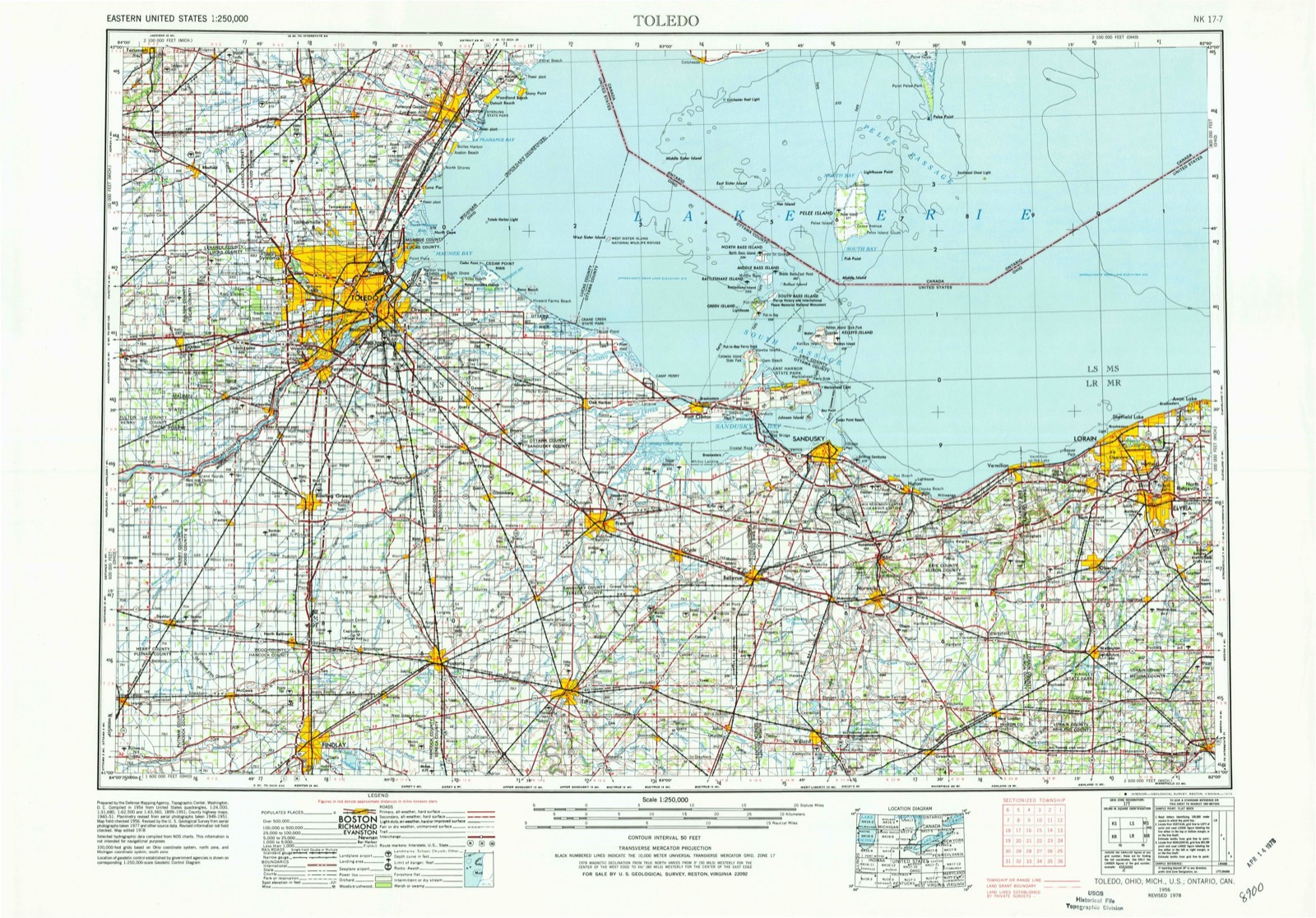
- 1956 USGS Toledo quadrangle1:250000
- 1956 USGS Toledo quadrangle1:250000
- 1956 USGS Toledo quadrangle1:250000
- 1956 USGS Toledo quadrangle1:250000
- 1960 USGS Mc Comb quadrangle1:24000
- 1960 USGS Mc Comb quadrangle1:24000
- 1961 USGS Toledo quadrangle1:250000
- 1986 USGS Findlay quadrangle1:100000
- 1986 USGS Findlay quadrangle1:100000





In the county-history sources
17,843 words on this townshipHistory of Hancock County [Ohio] from Its Earliest Settlement to the Present Time, Together with Remeiniscenses of Pioneer Life, Incidents, Statistical Tables, and Biographical Sketches, published 1881 names this settlement in its chapter on Blanchard Township. These are the passages that mention it, exactly as the scans read.
Thomas Moffitt. who with his brothers, William and John^ had made their residence here about the time the Dukes' came, after making for himself a home and its comforts, was attacked with the "Western Fever," sold his farm and emigrated to Iowa, or the " Black Hawk Country," as it was called, where he still lives. John and William Moffitt, and McClish, still reside in the township, and are amongst its most substantial men.
Passage source: History of Hancock County [Ohio] from Its Earliest Settlement to the Present Time, Together with Remeiniscenses of Pioneer Life, Incidents, Statistical Tables, and Biographical Sketches, published 1881.
Michael Fishel, one of the early residents, only a few years ago sold his farm on the south side of the river, and now resides in the village of McComb. Alfred Davis, another frontiersman, and one of the solid men of the county, owns and occupies a magnificent tract of land on both sides of the river, and takes life calmly. George Shaw, one of the early commissioners of the county, owned a splendid farm here, on which he spent the greater part of his life, and here died and was buried. About the same time came Jeremiah Code, David Millham, Sol Foglesong and the Epleys.
Passage source: History of Hancock County [Ohio] from Its Earliest Settlement to the Present Time, Together with Remeiniscenses of Pioneer Life, Incidents, Statistical Tables, and Biographical Sketches, published 1881.
The first school house was a log cabin affair, and stood near where the present residence of 'ihomas Groves stands, and was built in 1830. The first school was taught by John C. Wickham. There are now ten school buildings in the township, and the enumeration of youth is three hundred and eighty-four.
Passage source: History of Hancock County [Ohio] from Its Earliest Settlement to the Present Time, Together with Remeiniscenses of Pioneer Life, Incidents, Statistical Tables, and Biographical Sketches, published 1881.
Machine-read from a century-old scan, so expect the errors a machine makes: misspelled names, dropped words, stray characters.
Read the whole chapter on Blanchard Township - it names this place 7 more 7 times.
Specimens collected near this place
12 of 168 shownRegional context, not property-specific evidence. Museums hold 168 specimens collected within 10 miles of Moffitt (historical) between 1906 and 1975: 167 Animalia, 1 Fungi. 12 distinct Species records are shown. Collected by Auten, Collector(s): David E. Ferguson, David G. Furth and others. Each is a physical object with a catalogue number, and each entry opens the museum's record. This is what was collected and kept, not a survey of what lives here - nothing can be concluded from a species being absent.
| Image | Species | Year | Collected by | Where, as recorded |
|---|---|---|---|---|
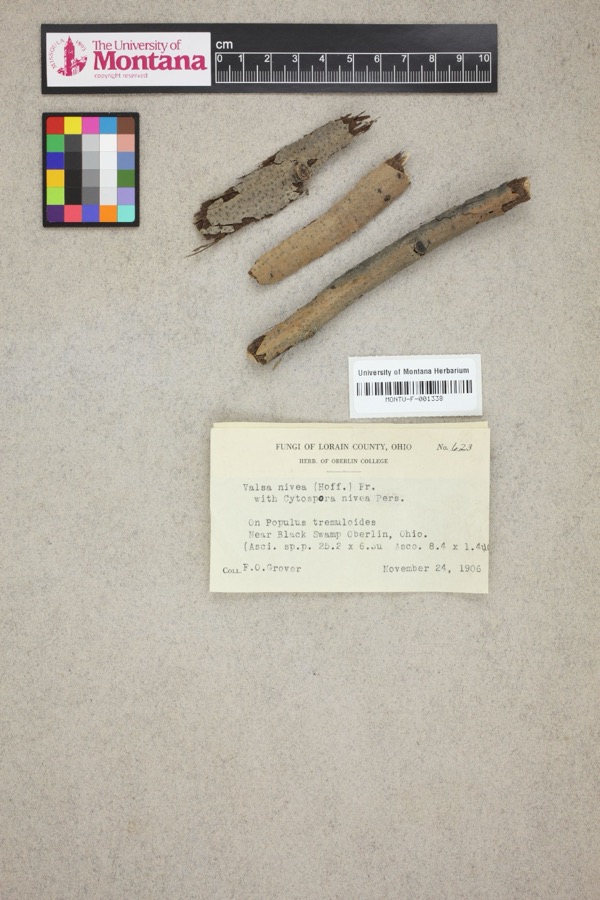 | Valsa nivea (Hoffm.) Fr. | 1906 | F. O. Grover | Near Black Swamp, Oberlin. |
 | Catostomus commersonii (Lacepède, 1803) | 1929 | Trautman, M. B. (Milton Bernard) | Ottawa Creek, at Benton Ridge, ~0.4 mi E of Benton Ridge, Blanchard township |
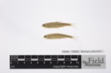 | Notropis umbratilis (Girard, 1856) | 1929 | Trautman, M. B. (Milton Bernard) | Ottawa Creek, at Benton Ridge, ~0.4 mi E of Benton Ridge, Blanchard township |
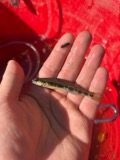 | Percina maculata (Girard, 1859) | 1929 | Trautman, M. B. (Milton Bernard) | Ottawa Creek, at Benton Ridge, ~0.4 mi E of Benton Ridge, Blanchard township |
 | Acris crepitans Baird, 1854 | 1930 | Trautman, M. B. (Milton Bernard) | Riley Cr., Hancock Co., Ohio |
 | Campostoma anomalum pullum (Agassiz, 1854) | 1930 | MB Trautman | Ottawa Creek, trib of the Blanchard River, S Blanchard Township |
 | Catostomus commersonnii commersonnii (Lacepède, 1803) | 1930 | MB Trautman | Ottawa Creek, trib of Blanchard River, S Union Twp |
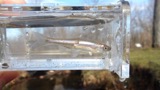 | Cyprinella spiloptera (Cope, 1867) | 1930 | MB Trautman | Ottawa Creek, trib of Blanchard River, S Union Twp |
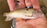 | Erimyzon oblongus claviformis (Girard, 1856) | 1930 | Trautman, M. B. (Milton Bernard) & Foster, R. (Robert) | Ottawa Creek, within south Union township, near Rawson, Union township |
 | Etheostoma blennioides Rafinesque, 1819 | 1930 | MB Trautman | Ottawa Creek, trib of Blanchard River, S Union Twp |
 | Etheostoma caeruleum Storer, 1845 | 1930 | MB Trautman | Ottawa Creek, trib of the Blanchard River, S Blanchard Township |
 | Etheostoma flabellare Rafinesque, 1819 | 1930 | MB Trautman | Ottawa Creek, trib of the Blanchard River, S Blanchard Township |
All 168 specimens within 10 miles, at the Global Biodiversity Information Facility.
Nearest settlements
The eight closest, with where each one stands in the county. Distances are straight-line, computed from the Geographic Names Information System coordinates.
| Map | Place | Distance | Sheets |
|---|---|---|---|
| Benton Ridge | 3.1 miles | 9 | |
| Lewisville (historical) | 3.6 miles | 9 | |
| Rawson | 5.5 miles | 12 | |
| Mount Cory | 6.0 miles | 12 | |
| Shawtown | 6.1 miles | 9 | |
| McComb | 6.6 miles | 9 | |
| Murphys | 7.6 miles | 13 | |
| Deweyville | 7.7 miles | 11 |
Provenance
This settlement is recorded in the Geographic Names Information System as feature 1066281. The sheet list is computed by point-in-boundary test against the United States Geological Survey's historical topographic inventory. Both are works of the United States government and carry no copyright under 17 U.S.C. 105.
Specimens. Global Biodiversity Information Facility (GBIF), https://www.gbif.org/. Only records licensed CC0 or CC BY are used. Records licensed CC BY-NC are excluded because this site carries advertising. Images are checked individually and any whose licence is non-commercial, no-derivatives or unreadable is refused.