 Block
Block
Shawtown, Ohio
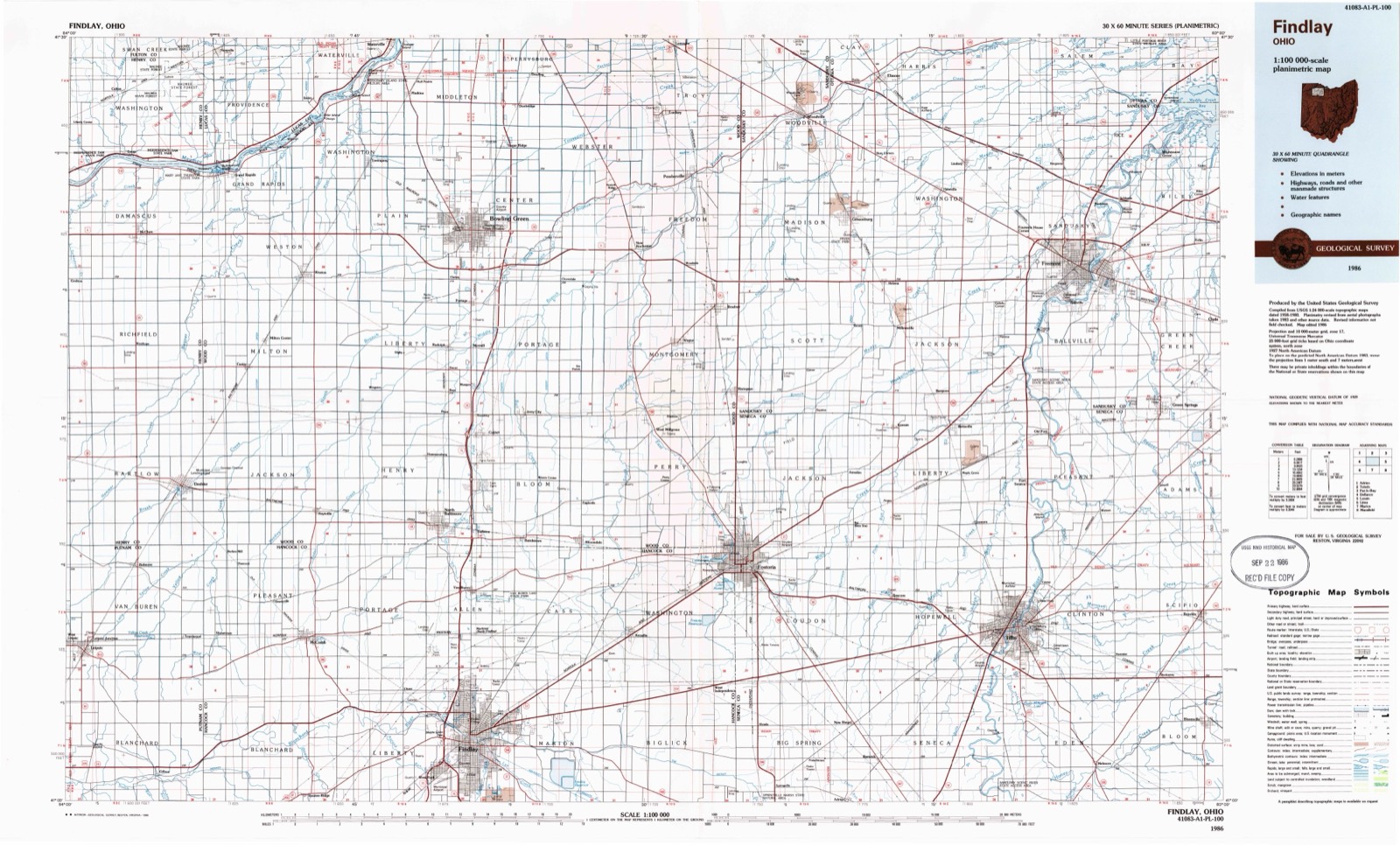
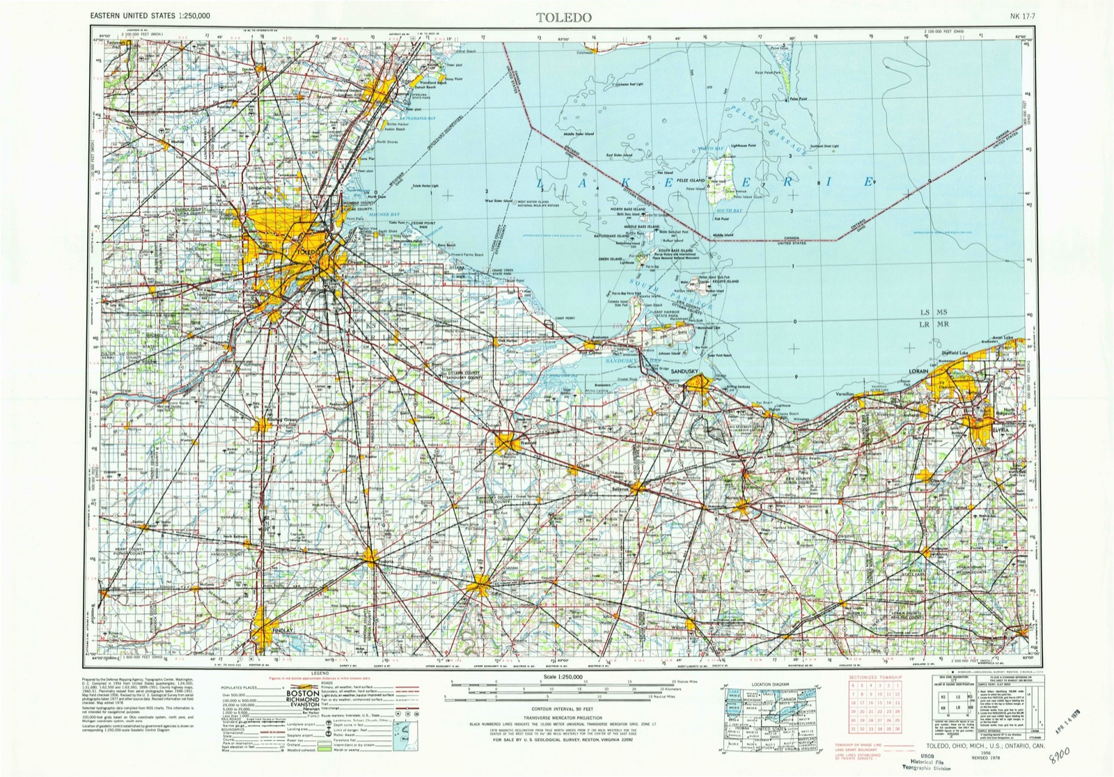
9 topographic sheets cover this place, the earliest surveyed in 1956 and the latest in 1986. It stands in Pleasant Township. It lies in ZIP code area 45858. It stands on Pickens Run. The Survey maps it on the McComb quadrangle.
Then and now
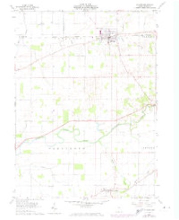
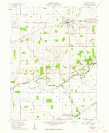
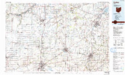
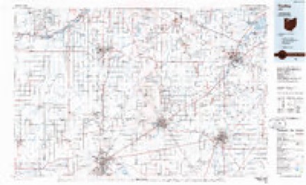
1956 to 1986The same ground, surveyed 30 years apart. Drag the handle to wipe between them. Both sheets are United States Geological Survey originals; neither has been altered.
Topographic sheets covering this place
9 sheetsMatched by testing this settlement's coordinate against the published boundary of every sheet in the United States Geological Survey's historical collection. Each opens the scanned sheet at the Survey.
- 1956 USGS Toledo quadrangle1:250000
- 1956 USGS Toledo quadrangle1:250000
- 1956 USGS Toledo quadrangle1:250000
- 1956 USGS Toledo quadrangle1:250000
- 1960 USGS Mc Comb quadrangle1:24000
- 1960 USGS Mc Comb quadrangle1:24000
- 1961 USGS Toledo quadrangle1:250000
- 1986 USGS Findlay quadrangle1:100000
- 1986 USGS Findlay quadrangle1:100000





In the county-history sources
11,412 words on this townshipHistory of Hancock County [Ohio] from Its Earliest Settlement to the Present Time, Together with Remeiniscenses of Pioneer Life, Incidents, Statistical Tables, and Biographical Sketches, published 1881; History of Hancock County, Ohio : Containing a History of the County, Its Townships, Towns ... Portraits of Early Settlers and Prominent Men, Biographies, History of the Northwest Territory, History of Ohio, Statistical and Miscellaneous Matter, Etc, published 1886 names this settlement in its chapter on Pleasant Township. These are the passages that mention it, exactly as the scans read.
There are a number of very tasty dwellings, many of them surrounded by beautiful grounds. Altogether the village has an air of thrift and I'apid growth, which is very encouraging to its people, and the beauty of its location, its healthfulness, and intelligent society, are sources of just pride to the inhabitants. Four hundred and twenty-three was the population in 1880.
Passage source: History of Hancock County [Ohio] from Its Earliest Settlement to the Present Time, Together with Remeiniscenses of Pioneer Life, Incidents, Statistical Tables, and Biographical Sketches, published 1881.
Michael Price was an Irish Catholic, who first settled in Philadelphia, Penn. , thence removed to Crawford County, Ohio. On the 1 2th of July, 1834, he entered the west half of the northeast quarter of Section 35, Pleasant Township, upon which he located the following autumn. His wife, Catherine, bore him seven children - one son and six daughters - all but one of whom are dead, their only living child (a daughter), being a resident of Putnam County. In 1849 Mr. Price was appointed associate judge of Hancock
Passage source: History of Hancock County, Ohio : Containing a History of the County, Its Townships, Towns ... Portraits of Early Settlers and Prominent Men, Biographies, History of the Northwest Territory, History of Ohio, Statistical and Miscellaneous Matter, Etc, published 1886.
CJounty, but served only two years. He died on his farm in this township. It has been told by several pioneers that Judge Price was a well-informed man, and stood high in the estimation of the best citizens.
Passage source: History of Hancock County, Ohio : Containing a History of the County, Its Townships, Towns ... Portraits of Early Settlers and Prominent Men, Biographies, History of the Northwest Territory, History of Ohio, Statistical and Miscellaneous Matter, Etc, published 1886.
Machine-read from a century-old scan, so expect the errors a machine makes: misspelled names, dropped words, stray characters.
Read the whole chapter on Pleasant Township - it names this place 2 more 2 times.
Specimens collected near this place
12 of 53 shownRegional context, not property-specific evidence. Museums hold 53 specimens collected within 10 miles of Shawtown between 1906 and 1975: 52 Animalia, 1 Fungi. 12 distinct Species records are shown. Collected by David G. Furth, F. O. Grover, Langlois, T. H. and others. Each is a physical object with a catalogue number, and each entry opens the museum's record. This is what was collected and kept, not a survey of what lives here - nothing can be concluded from a species being absent.
| Image | Species | Year | Collected by | Where, as recorded |
|---|---|---|---|---|
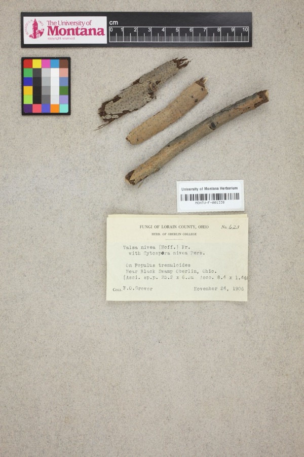 | Valsa nivea (Hoffm.) Fr. | 1906 | F. O. Grover | Near Black Swamp, Oberlin. |
 | Catostomus commersonii (Lacepède, 1803) | 1929 | Trautman, M. B. (Milton Bernard) | Ottawa Creek, at Benton Ridge, ~0.4 mi E of Benton Ridge, Blanchard township |
 | Notropis umbratilis (Girard, 1856) | 1929 | Trautman, M. B. (Milton Bernard) | Ottawa Creek, at Benton Ridge, ~0.4 mi E of Benton Ridge, Blanchard township |
 | Percina maculata (Girard, 1859) | 1929 | Trautman, M. B. (Milton Bernard) | Ottawa Creek, at Benton Ridge, ~0.4 mi E of Benton Ridge, Blanchard township |
 | Campostoma anomalum pullum (Agassiz, 1854) | 1930 | MB Trautman | Ottawa Creek, trib of the Blanchard River, S Blanchard Township |
 | Catostomus commersonnii commersonnii (Lacepède, 1803) | 1930 | MB Trautman | Ottawa Creek, trib of the Blanchard River, S Blanchard Township |
 | Erimyzon oblongus claviformis (Girard, 1856) | 1930 | MB Trautman | Ottawa Creek, trib of the Blanchard River, S Blanchard Township |
 | Etheostoma blennioides Rafinesque, 1819 | 1930 | MB Trautman | Ottawa Creek, trib of the Blanchard River, S Blanchard Township |
 | Etheostoma caeruleum Storer, 1845 | 1930 | MB Trautman | Ottawa Creek, trib of the Blanchard River, S Blanchard Township |
 | Etheostoma flabellare Rafinesque, 1819 | 1930 | MB Trautman | Ottawa Creek, trib of the Blanchard River, S Blanchard Township |
 | Etheostoma nigrum Rafinesque, 1820 | 1930 | MB Trautman | Ottawa Creek, trib of the Blanchard River, S Blanchard Township |
 | Etheostoma spectabile (Agassiz, 1854) | 1930 | MB Trautman | Ottawa Creek, trib of the Blanchard River, S Blanchard Township |
All 53 specimens within 10 miles, at the Global Biodiversity Information Facility.
Storms near this place
4 since 2010Regional context, not property-specific evidence. The National Weather Service names Shawtown in 4 storm reports between 2010 and 2026: 4 thunderstorm wind. No death or injury is recorded in these reports. Each account below is quoted exactly as the forecast office filed it, from the NOAA Storm Events Database, and each date opens the federal record of that event.
| When | Event | Place named | Harm | What the report says |
|---|---|---|---|---|
| June 2022 | Thunderstorm Wind | Shawtown | $66,000 | Several large trees downed and siding/roofs blown off several mobile homes and barns in Shawtown. Quarter-size hail and several downed trees reported in McComb. |
| April 2026 | Thunderstorm Wind | Shawtown | $1,000 | Shed damaged at farmstead along County Road 53 near McComb. |
| July 2011 | Thunderstorm Wind | Shawtown | $1,000 | Thunderstorm winds downed a large tree. |
| June 2010 | Thunderstorm Wind | Shawtown | $1,000 | Thunderstorm winds downed a large tree. |
Nearest settlements
The eight closest, with where each one stands in the county. Distances are straight-line, computed from the Geographic Names Information System coordinates.
| Map | Place | Distance | Sheets |
|---|---|---|---|
| North Ridgeville (historical) | 1.9 miles | 11 | |
| Deweyville | 3.2 miles | 11 | |
| Hancock | 3.4 miles | 11 | |
| Butlers Mill | 3.8 miles | 11 | |
| McComb | 4.2 miles | 9 | |
| Lewisville (historical) | 5.9 miles | 9 | |
| Moffitt (historical) | 6.1 miles | 9 | |
| Portage Center | 7.8 miles | 13 |
Elsewhere
Matched on this settlement's Geographic Names Information System number rather than its name, so it cannot be a different place of the same name in another state.
| Wikipedia article on Shawtown | An encyclopaedic summary. Its text is share-alike, so it is linked here rather than copied. |
| Wikidata item Q22134266 | The structured record the population and elevation above come from. Public domain (CC0). |
Provenance
This settlement is recorded in the Geographic Names Information System as feature 1046163. The sheet list is computed by point-in-boundary test against the United States Geological Survey's historical topographic inventory. Both are works of the United States government and carry no copyright under 17 U.S.C. 105.
Specimens. Global Biodiversity Information Facility (GBIF), https://www.gbif.org/. Only records licensed CC0 or CC BY are used. Records licensed CC BY-NC are excluded because this site carries advertising. Images are checked individually and any whose licence is non-commercial, no-derivatives or unreadable is refused.
Storms. NOAA National Centers for Environmental Information, Storm Events Database https://www.ncei.noaa.gov/stormevents/ A work of the United States government, no copyright under 17 U.S.C. 105. Narratives are quoted verbatim from the National Weather Service report and are not edited or summarised.