 Block
Block
New Burlington, Ohio
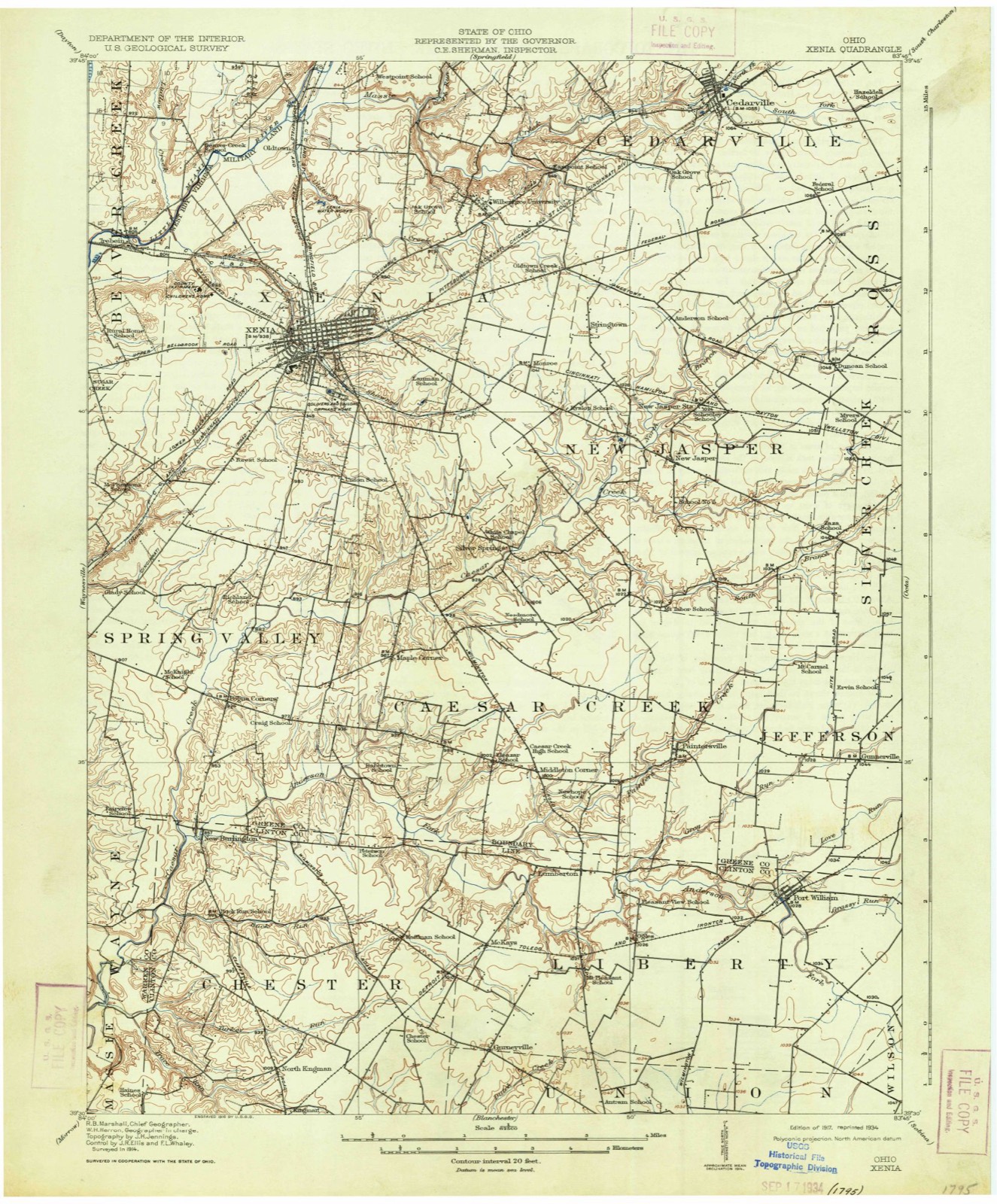
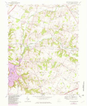
15 topographic sheets cover this place, the earliest surveyed in 1917 and the latest in 1986. It stands in Chester Township. It lies in ZIP code area 45177. It stands on Anderson Fork. The Survey maps it on the New Burlington quadrangle.
Then and now
1917 to 1986The same ground, surveyed 69 years apart. Drag the handle to wipe between them. Both sheets are United States Geological Survey originals; neither has been altered.

Topographic sheets covering this place
15 sheetsMatched by testing this settlement's coordinate against the published boundary of every sheet in the United States Geological Survey's historical collection. Each opens the scanned sheet at the Survey.
- 1917 USGS Xenia quadrangle1:62500
- 1917 USGS Xenia quadrangle1:62500
- 1947 USGS Columbus quadrangle1:250000
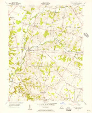
- 1955 USGS New Burlington quadrangle1:24000
- 1955 USGS New Burlington quadrangle1:24000
- 1961 USGS Columbus quadrangle1:250000
- 1962 USGS Columbus quadrangle1:250000
- 1967 USGS Columbus quadrangle1:250000
- 1967 USGS Columbus quadrangle1:250000
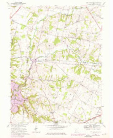
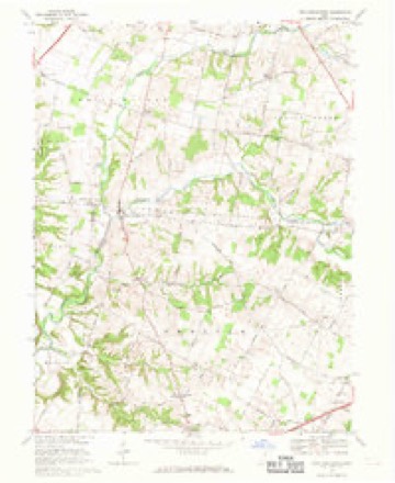
- 1968 USGS New Burlington quadrangle1:24000
- 1968 USGS New Burlington quadrangle1:24000
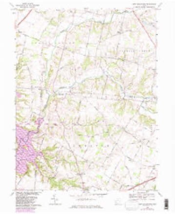
- 1968 USGS New Burlington quadrangle1:24000
- 1968 USGS New Burlington quadrangle1:24000
- 1986 USGS Springfield quadrangle1:100000
- 1986 USGS Springfield quadrangle1:100000







In the county-history sources
13,296 words on this townshipThe History of Clinton County, Ohio, published 1882 names this settlement in its chapter on Chester Township. These are the passages that mention it, exactly as the scans read.
At the spring election of 1842, held at the schoolhouse on the farm of Isaac Collett, it was left for the people to say whether the Trustees should or should not provide a house and lot for township purposes, and the decision there rendered was that they should do so. One acre of land was purchased of Benjamin Hawes for a consideration of $25, and "at a special meeting of the Trustees held for the purpose of letting out a job for the building of a house for the purpose of holding elections, a full board was present. Upon examination of several bills presented to the Trustees, it was decided that John Arnold, Sr., shall have the building thereof, which the said John Arnold, Sr., proposes to build for $147. " The bid having been accepted, an article of agreement follows, and the next record thereafter reads as follows: "October 12, A. D. 1842. - The above described building has been finished and accepted by the Trustees. C. Pyle, Clerk." Since that year all elections have been held therein. This building is situated on the New Burlington and Dakin Corner Turnpike, about three miles south of the former, and necessitates the citizens of that village going there to vote.
Passage source: The History of Clinton County, Ohio, published 1882.
As I said, it was thought, at the organization of the county, in 1810, that it would be the county seat, and especially so by the owner and projector. But Wilmington became the possessor of the prize. It grew very slowly after this fact became known, and, in 1816, but few houses had been erected therein, or more properly speaking, along the road, among them Daniel Hindman, on the pres ent James Campboll place; James Carpenter, in the brick house yet standing just east of the village, and erected in 1807 by James Birdsall, the first brick house erected in the county. Daniol Birdsall lived where Archibald llaynos did for many years. The village derived its name from the many giant trees of oak that stood thickly on the grounds in that locality.
Passage source: The History of Clinton County, Ohio, published 1882.
New Burlington, the second village of the township, is situated in the northwest corner of both Clinton County and Chester Township, with a portion of its northern part extending into Greene County. It is located in Gallatin 570, and, at the death of the original purchaser, Aaron Jenkins, the land upon which the village stands descended to his son Baldwin, by will. About 1820, he (Baldwin) sold 100 acres of his lands to Edward Powers, and the latter built the same year a log house, where the brick house, now occupied by John Kay, Jr., stands.
Passage source: The History of Clinton County, Ohio, published 1882.
Machine-read from a century-old scan, so expect the errors a machine makes: misspelled names, dropped words, stray characters.
Read the whole chapter on Chester Township - it names this place 6 more 6 times.
Specimens collected near this place
12 of 98 shownRegional context, not property-specific evidence. Museums hold 98 specimens collected within 10 miles of New Burlington between 1920 and 1963: 95 Animalia, 2 Plantae, 1 Fungi. 12 distinct Species records are shown. Collected by A. R. Gaufin, A.R. Gaufin, H.H. Ross, Arden R. Gaufin and others. Each is a physical object with a catalogue number, and each entry opens the museum's record. This is what was collected and kept, not a survey of what lives here - nothing can be concluded from a species being absent.
| Image | Species | Year | Collected by | Where, as recorded |
|---|---|---|---|---|
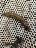 | Corydalus cornutus (Linnaeus, 1758) | 1920 | E. C. Stinson | Harveysburg |
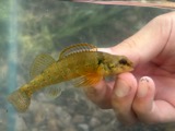 | Etheostoma variatum Kirtland, 1840 | 1926 | Wickliff, E. L. (Edward L.) | Todd Fork, near present day US 68 estimated based off Fishes of Ohio map |
 | Colaptes auratus luteus Bangs, 1898 | 1937 | Collector(s): Floyd E. Durham | 1 mi W 1 mi N Wilmington |
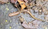 | Eurycea bislineata (Green, 1818) | 1937 | Rhoades, R. (Randall) | Along Mitchell Rd. (T-202) near Wilmington, Union Twp., Clinton Co., Ohio |
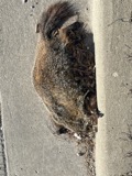 | Marmota monax monax (Linnaeus, 1758) | 1937 | Collector(s): Floyd E. Durham | 3 mi W and 3 mi N Wilmington |
 | Orconectes rusticus (Girard, 1852) | 1937 | R. Rhoades | Todds Fork Trib., Sligo, Adams Township |
 | Procyon lotor lotor (Linnaeus, 1758) | 1937 | Collector(s): Floyd E. Durham | 2 mi W Wilmington |
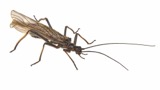 | Taeniopteryx burksi Ricker & Ross, 1968 | 1938 | Theodore H. Frison | Mt. Pleasant |
 | Campostoma anomalum anomalum | 1939 | Rhoades, R. (Randall) | Dutch Creek, within Clinton Co, Clinton County, township n/a |
 | Ericymba buccata Cope, 1865 | 1942 | Trautman, M. B. (Milton Bernard) & Rhoades, R. (Randall) | Dutch Creek, 0.5 mi east of Oakland, ~5.3 mi NW of Wilmington, Chester township |
 | Etheostoma caeruleum Storer, 1845 | 1942 | Trautman, M. B. (Milton Bernard) & Rhoades, R. (Randall) | Dutch Creek, 0.5 mi east of Oakland, ~5.3 mi NW of Wilmington, Chester township |
 | Etheostoma flabellare Rafinesque, 1819 | 1942 | Trautman, M. B. (Milton Bernard) & Rhoades, R. (Randall) | Dutch Creek, 0.5 mi east of Oakland, ~5.3 mi NW of Wilmington, Chester township |
All 98 specimens within 10 miles, at the Global Biodiversity Information Facility.
Mines and quarries near this place
1 within 5 milesRegional context, not property-specific evidence. The federal mineral resources record lists 1 working within 5 miles of New Burlington: 1 plant. All of them still produce. What was taken out: Sand and Gravel, Construction. Distance is straight-line from the map coordinates, so a quarry counted here may appear on a neighbouring settlement's page as well.
| Where | Site | Commodity | Status | Recorded |
|---|---|---|---|---|
| Wilson Site Pit & Mill | Sand and Gravel, Construction | Plant |
Nearest settlements
The eight closest, with where each one stands in the county. Distances are straight-line, computed from the Geographic Names Information System coordinates.
| Map | Place | Distance | Sheets |
|---|---|---|---|
| North Kingman | 3.7 miles | 15 | |
| Kingman | 4.4 miles | 15 | |
| McKays | 4.9 miles | 15 | |
| Gurneyville | 5.7 miles | 15 | |
| Oakland | 6.1 miles | 13 | |
| Lumberton | 6.2 miles | 12 | |
| Mount Pleasant | 6.5 miles | 12 | |
| Ogles (historical) | 7.2 miles | 12 |
Elsewhere
Matched on this settlement's Geographic Names Information System number rather than its name, so it cannot be a different place of the same name in another state.
| Wikipedia article on New Burlington | An encyclopaedic summary. Its text is share-alike, so it is linked here rather than copied. |
| Wikidata item Q3473477 | The structured record the population and elevation above come from. Public domain (CC0). |
Provenance
This settlement is recorded in the Geographic Names Information System as feature 1056447. The sheet list is computed by point-in-boundary test against the United States Geological Survey's historical topographic inventory. Both are works of the United States government and carry no copyright under 17 U.S.C. 105.
Specimens. Global Biodiversity Information Facility (GBIF), https://www.gbif.org/. Only records licensed CC0 or CC BY are used. Records licensed CC BY-NC are excluded because this site carries advertising. Images are checked individually and any whose licence is non-commercial, no-derivatives or unreadable is refused.
Mines and quarries. USGS Mineral Resources Data System (MRDS) https://mrdata.usgs.gov/mrds/ A work of the United States government, no copyright under 17 U.S.C. 105.