 Block
Block
North Kingman, Ohio
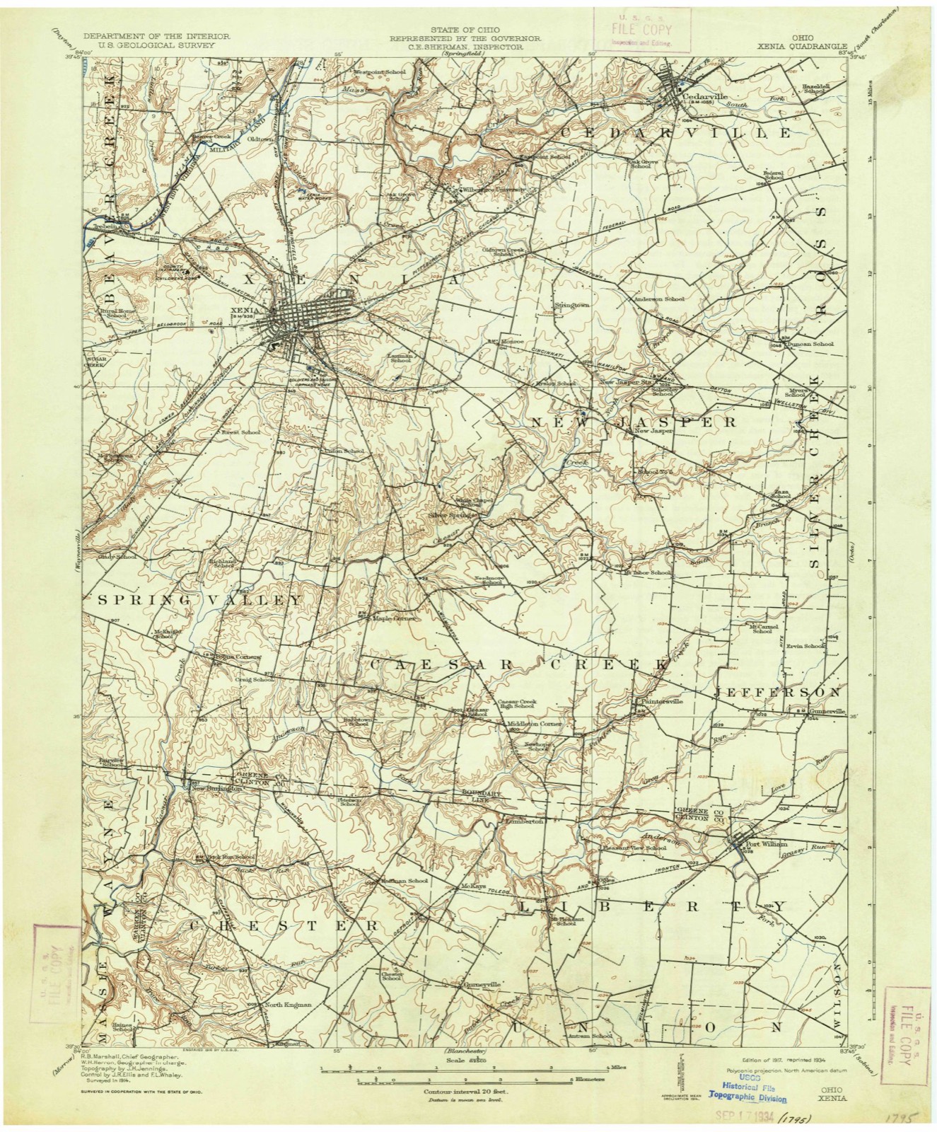
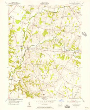
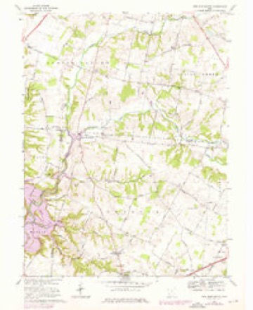
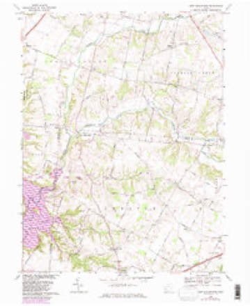
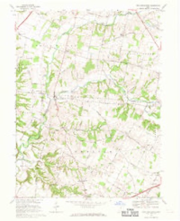
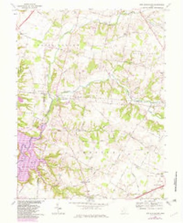
15 topographic sheets cover this place, the earliest surveyed in 1917 and the latest in 1986. It stands in Chester Township. It lies in ZIP code area 45177. The Survey maps it on the New Burlington quadrangle.
Then and now
1917 to 1986The same ground, surveyed 69 years apart. Drag the handle to wipe between them. Both sheets are United States Geological Survey originals; neither has been altered.

Topographic sheets covering this place
15 sheetsMatched by testing this settlement's coordinate against the published boundary of every sheet in the United States Geological Survey's historical collection. Each opens the scanned sheet at the Survey.
- 1917 USGS Xenia quadrangle1:62500
- 1917 USGS Xenia quadrangle1:62500
- 1947 USGS Columbus quadrangle1:250000
- 1955 USGS New Burlington quadrangle1:24000
- 1955 USGS New Burlington quadrangle1:24000
- 1961 USGS Columbus quadrangle1:250000
- 1962 USGS Columbus quadrangle1:250000
- 1967 USGS Columbus quadrangle1:250000
- 1967 USGS Columbus quadrangle1:250000
- 1968 USGS New Burlington quadrangle1:24000
- 1968 USGS New Burlington quadrangle1:24000
- 1968 USGS New Burlington quadrangle1:24000
- 1968 USGS New Burlington quadrangle1:24000
- 1986 USGS Springfield quadrangle1:100000
- 1986 USGS Springfield quadrangle1:100000







In the county-history sources
13,296 words on this townshipThe History of Clinton County, Ohio, published 1882 names this settlement in its chapter on Chester Township. These are the passages that mention it, exactly as the scans read.
In those days, the Eall and winter rains (when the country was new, and in its primeval form) did not run off all the ground, as in the torrents of today, but remained upon the land; nor did the constant action of the sun's rays then, as now, produce rapid evaporation. The beds of these forest trees were filled with fallen leaves and limbs, until the free passage of the water was held back, and, in many cases, wholly prevented from flowing at all. It then spread itself over the low places, and thus formed pools, ponds and miniature lakes, which slowly trickled out and down to the mills, where it furnished sufficient power to run them, if necessary, a great part of the year. But the flight of time went on; the lands were cleared out and, under the warm rays of the summer sun, evaporation followed, and these fountains succumbed to their magic influence. Following in the line of advancing civilization came the open, and then the blind, or tile, drain; and to-day, whore stood the heavy timber and these lakes of water, the eye is gladdened by fine farms and fields of waving grain.
Passage source: The History of Clinton County, Ohio, published 1882.
Machine-read from a century-old scan, so expect the errors a machine makes: misspelled names, dropped words, stray characters.
Specimens collected near this place
12 of 449 shownRegional context, not property-specific evidence. Museums hold 449 specimens collected within 10 miles of North Kingman between 1919 and 1974: 384 Animalia, 55 Fungi, 7 Plantae, 3 Unrecorded. 12 distinct Species records are shown. Collected by A. R. Gaufin, A.R. Gaufin, H.H. Ross, Allen, A. (Avery) and others. Each is a physical object with a catalogue number, and each entry opens the museum's record. This is what was collected and kept, not a survey of what lives here - nothing can be concluded from a species being absent.
| Image | Species | Year | Collected by | Where, as recorded |
|---|---|---|---|---|
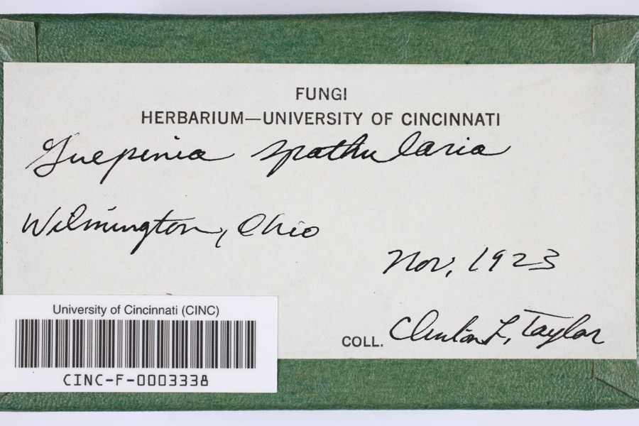 | Guepinia spathularia (Schwein.) Fr. | 1923 | Taylor, C.L. | Wilmington |
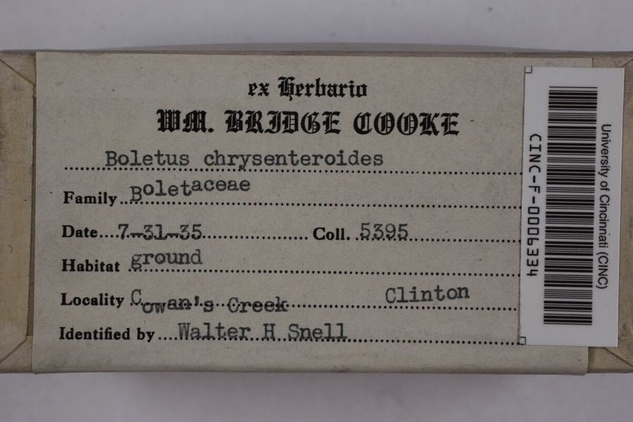 | Boletellus chrysenteroides (Snell) Snell | 1935 | Cooke, William Bridge | Cowan's Creek |
 | Boletus bicolor Raddi | 1935 | Cooke, William Bridge | Cowan's Creek |
 | Claviceps purpurea (Fr.) Tul. | 1919 | Lewis H. L. | Wilmington |
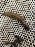 | Corydalus cornutus (Linnaeus, 1758) | 1920 | E. C. Stinson | Harveysburg |
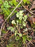 | Cladonia fimbriata (L.) Fr. | 1923 | Taylor, C.J. | Wilmington |
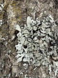 | Parmelia Acharius, 1803 | 1924 | Taylor, L. | Wilmington |
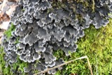 | Peltigera praetextata (Flörke ex Sommerf.) Zopf | 1924 | Taylor, C.L. | Wilmington |
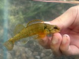 | Etheostoma variatum Kirtland, 1840 | 1926 | Wickliff, E. L. (Edward L.) | Todd Fork, near present day US 68 estimated based off Fishes of Ohio map |
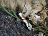 | Mustela frenata Lichtenstein, 1831 | 1927 | Hazard, F. O. | Reesville, Clinton Co., Ohio, USA |
 | Acris crepitans Baird, 1854 | 1929 | Hazard, F. O. | near Wilmington, Clinton Co., Ohio |
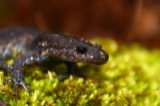 | Ambystoma jeffersonianum (Green, 1827) | 1929 | Hazard, F. O. | Wilmington, Clinton Co., Ohio |
All 449 specimens within 10 miles, at the Global Biodiversity Information Facility.
Mines and quarries near this place
1 within 5 milesRegional context, not property-specific evidence. The federal mineral resources record lists 1 working within 5 miles of North Kingman: 1 plant. All of them still produce. What was taken out: Sand and Gravel, Construction. Distance is straight-line from the map coordinates, so a quarry counted here may appear on a neighbouring settlement's page as well.
| Where | Site | Commodity | Status | Recorded |
|---|---|---|---|---|
| Wilson Site Pit & Mill | Sand and Gravel, Construction | Plant |
Nearest settlements
The eight closest, with where each one stands in the county. Distances are straight-line, computed from the Geographic Names Information System coordinates.
| Map | Place | Distance | Sheets |
|---|---|---|---|
| Kingman | 0.7 miles | 15 | |
| Oakland | 2.5 miles | 13 | |
| Gurneyville | 3.5 miles | 15 | |
| New Burlington | 3.7 miles | 15 | |
| McKays | 4.0 miles | 15 | |
| Little Center | 4.4 miles | 14 | |
| Sligo | 4.9 miles | 13 | |
| Vandervorts Corners | 5.2 miles | 13 |
Elsewhere
Matched on this settlement's Geographic Names Information System number rather than its name, so it cannot be a different place of the same name in another state.
| Wikidata item Q122539302 | The structured record the population and elevation above come from. Public domain (CC0). |
Provenance
This settlement is recorded in the Geographic Names Information System as feature 1062920. The sheet list is computed by point-in-boundary test against the United States Geological Survey's historical topographic inventory. Both are works of the United States government and carry no copyright under 17 U.S.C. 105.
Specimens. Global Biodiversity Information Facility (GBIF), https://www.gbif.org/. Only records licensed CC0 or CC BY are used. Records licensed CC BY-NC are excluded because this site carries advertising. Images are checked individually and any whose licence is non-commercial, no-derivatives or unreadable is refused.
Mines and quarries. USGS Mineral Resources Data System (MRDS) https://mrdata.usgs.gov/mrds/ A work of the United States government, no copyright under 17 U.S.C. 105.