 Block
Block
Oakland, Ohio
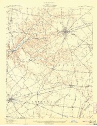
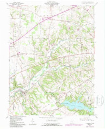
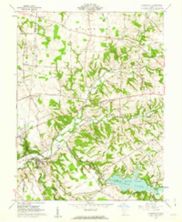
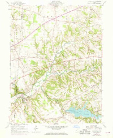
13 topographic sheets cover this place, the earliest surveyed in 1907 and the latest in 1986. It stands in Chester Township. It lies in ZIP code area 45177. It stands on Dutch Creek. The Survey maps it on the Clarksville quadrangle.
Then and now
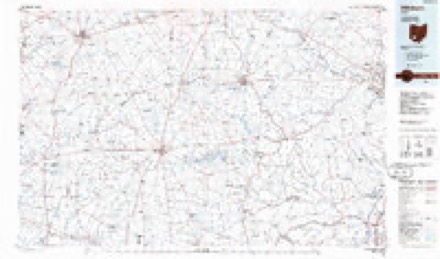
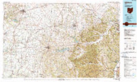
1907 to 1986The same ground, surveyed 79 years apart. Drag the handle to wipe between them. Both sheets are United States Geological Survey originals; neither has been altered.
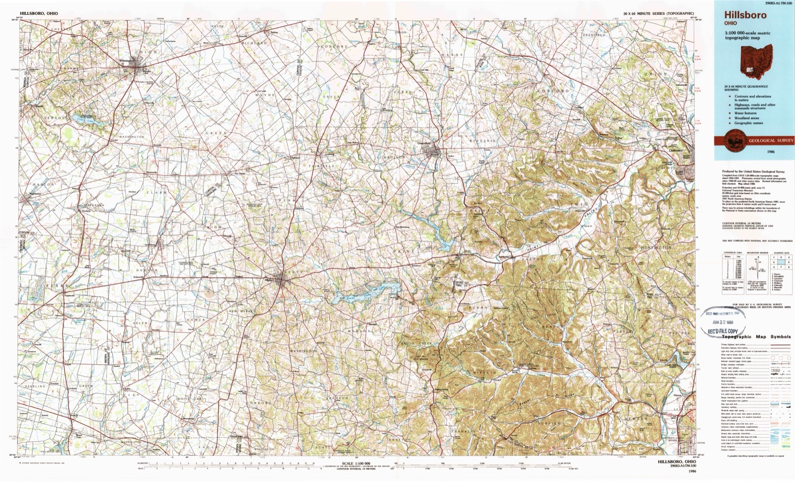
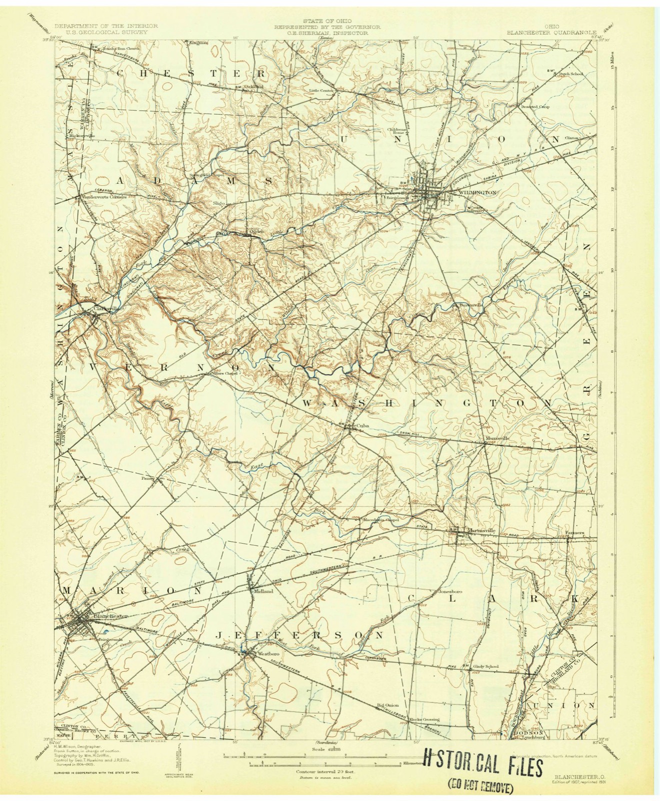
Topographic sheets covering this place
13 sheetsMatched by testing this settlement's coordinate against the published boundary of every sheet in the United States Geological Survey's historical collection. Each opens the scanned sheet at the Survey.
- 1907 USGS Blanchester quadrangle1:62500
- 1907 USGS Blanchester quadrangle1:62500
- 1907 USGS Blanchester quadrangle1:62500
- 1947 USGS Columbus quadrangle1:250000
- 1960 USGS Clarksville quadrangle1:24000
- 1960 USGS Clarksville quadrangle1:24000
- 1960 USGS Clarksville quadrangle1:24000
- 1961 USGS Columbus quadrangle1:250000
- 1962 USGS Columbus quadrangle1:250000
- 1967 USGS Columbus quadrangle1:250000
- 1967 USGS Columbus quadrangle1:250000
- 1986 USGS Hillsboro quadrangle1:100000
- 1986 USGS Hillsboro quadrangle1:100000





In the county-history sources
13,296 words on this townshipThe History of Clinton County, Ohio, published 1882 names this settlement in its chapter on Chester Township. These are the passages that mention it, exactly as the scans read.
In February, 1838, William Birdaall (a first cousin of James and David) came to this township, accompanied by his wife and seven children. He purchased two of the farms formerly owned by James Birdsall, and settled in the brick house before mentioned. He laid out the present village of Oakland, on the west side of the original town plat. The village is and has been for years a post office town, and in its best days contained, among other industries, two stores. Though not recognized by the census department in 1870,* yet upward of forty souls reside therein.
Passage source: The History of Clinton County, Ohio, published 1882.
This is the history of Caesar Creek Monthly Meeting of Friends. Time,, on its relentless wings, has flown on, and seventy-two years have gone since then, and with them all those who assembled there on that occasion. In 1849, the present frame building was erected, and meetings are held there on the first and fifth days of each week. If we turn to the graveyard hard- by and examine the silent marble, we find these names:
Passage source: The History of Clinton County, Ohio, published 1882.
It will be a difficult matter for me, in the absence of exact data, to settle upon the earliest road traversing our corporate limits. I am of the opinion, however, from what information I can get, that the first one to be laid out for that purpose was the one from Waynesville to Wilmington. Tradition says, in a very early day the road from Waynesville to Wilmington passed north of where Harveysburg now is, north of the McIntyre Tavern to Oakland, thence by way of Centre to Wilmington; that it was a perfectly straight lino, blazed by an Indian, who received for so doing one gallon of whisky. But let this be
Passage source: The History of Clinton County, Ohio, published 1882.
Machine-read from a century-old scan, so expect the errors a machine makes: misspelled names, dropped words, stray characters.
Read the whole chapter on Chester Township - it names this place 2 more 2 times.
Specimens collected near this place
12 of 489 shownRegional context, not property-specific evidence. Museums hold 489 specimens collected within 10 miles of Oakland between 1911 and 1974: 423 Animalia, 55 Fungi, 8 Plantae, 3 Unrecorded. 12 distinct Species records are shown. Collected by A. R. Gaufin, A.R. Gaufin, H.H. Ross, Allen, A. (Avery) and others. Each is a physical object with a catalogue number, and each entry opens the museum's record. This is what was collected and kept, not a survey of what lives here - nothing can be concluded from a species being absent.
| Image | Species | Year | Collected by | Where, as recorded |
|---|---|---|---|---|
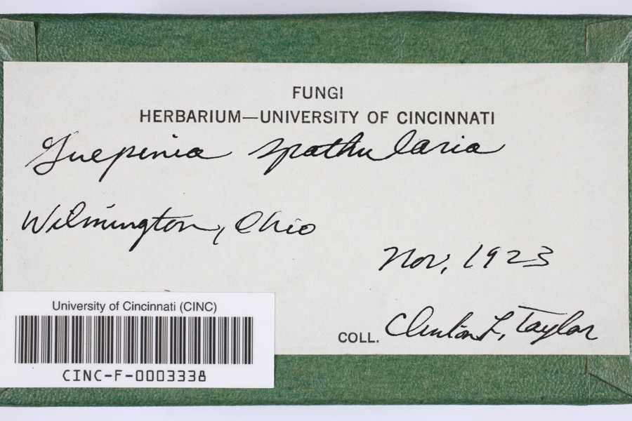 | Guepinia spathularia (Schwein.) Fr. | 1923 | Taylor, C.L. | Wilmington |
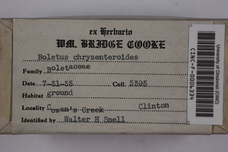 | Boletellus chrysenteroides (Snell) Snell | 1935 | Cooke, William Bridge | Cowan's Creek |
 | Boletus bicolor Raddi | 1935 | Cooke, William Bridge | Cowan's Creek |
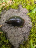 | Pseudosuccinea columella (Say, 1817) | 1911 | not recorded | Clinton, North America |
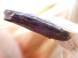 | Claviceps purpurea (Fr.) Tul. | 1919 | Lewis H. L. | Wilmington |
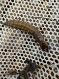 | Corydalus cornutus (Linnaeus, 1758) | 1920 | E. C. Stinson | Harveysburg |
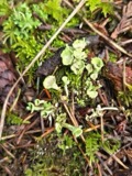 | Cladonia fimbriata (L.) Fr. | 1923 | Taylor, C.J. | Wilmington |
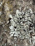 | Parmelia Acharius, 1803 | 1924 | Taylor, L. | Wilmington |
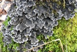 | Peltigera praetextata (Flörke ex Sommerf.) Zopf | 1924 | Taylor, C.L. | Wilmington |
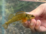 | Etheostoma variatum Kirtland, 1840 | 1926 | Wickliff, E. L. (Edward L.) | Todd Fork, near present day US 68 estimated based off Fishes of Ohio map |
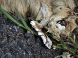 | Mustela frenata Lichtenstein, 1831 | 1927 | Hazard, F. O. | Reesville, Clinton Co., Ohio, USA |
 | Acris crepitans Baird, 1854 | 1929 | Hazard, F. O. | near Wilmington, Clinton Co., Ohio |
All 489 specimens within 10 miles, at the Global Biodiversity Information Facility.
Storms near this place
12 since 1996Regional context, not property-specific evidence. The National Weather Service names Oakland in 12 storm reports between 1996 and 2025: 8 thunderstorm wind, 2 hail, 2 flash flood. No death or injury is recorded in these reports. Each account below is quoted exactly as the forecast office filed it, from the NOAA Storm Events Database, and each date opens the federal record of that event.
| When | Event | Place named | Harm | What the report says |
|---|---|---|---|---|
| March 2025 | Thunderstorm Wind | Oakland | $7,000 | A roof was blown off of a barn. |
| August 1996 | Thunderstorm Wind | Oakland | $5,000 | no account filed |
| June 2022 | Thunderstorm Wind | Oakland | $4,000 | A large tree and power lines were downed along State Route 73, between I-71 and Dutch Creek. |
| March 2025 | Thunderstorm Wind | Oakland | $2,000 | Several trees were split and an outdoor above ground pool was damaged. |
| June 2015 | Thunderstorm Wind | Oakland | $1,500 | A tree was knocked down across Smith Road. |
| June 2025 | Thunderstorm Wind | Oakland | $1,000 | A large tree was downed at a property on State Route 73. |
| June 2022 | Thunderstorm Wind | Oakland | $1,000 | A large tree was downed on State Route 73 near Williams Road. |
| June 2020 | Thunderstorm Wind | Oakland | $1,000 | A large tree was knocked down in the Oakland area. |
| June 2021 | Flash Flood | Oakland | - | About a foot of water was rapidly flowing across State Route 73. |
| June 2015 | Flash Flood | Oakland | - | Significant ponding and water over the road at State Route 380 south of Route 73 due to torrential rain. |
| July 2014 | Hail | Oakland | - | no account filed |
| July 2014 | Hail | Oakland | - | no account filed |
Nearest settlements
The eight closest, with where each one stands in the county. Distances are straight-line, computed from the Geographic Names Information System coordinates.
| Map | Place | Distance | Sheets |
|---|---|---|---|
| Kingman | 1.9 miles | 15 | |
| Little Center | 2.3 miles | 14 | |
| North Kingman | 2.5 miles | 15 | |
| Sligo | 2.9 miles | 13 | |
| Gurneyville | 2.9 miles | 15 | |
| Ogden | 3.6 miles | 13 | |
| Town And Country Estates | 4.3 miles | 14 | |
| McKays | 4.3 miles | 15 |
Elsewhere
Matched on this settlement's Geographic Names Information System number rather than its name, so it cannot be a different place of the same name in another state.
| Wikipedia article on Oakland | An encyclopaedic summary. Its text is share-alike, so it is linked here rather than copied. |
| Wikidata item Q18355729 | The structured record the population and elevation above come from. Public domain (CC0). |
Provenance
This settlement is recorded in the Geographic Names Information System as feature 1080504. The sheet list is computed by point-in-boundary test against the United States Geological Survey's historical topographic inventory. Both are works of the United States government and carry no copyright under 17 U.S.C. 105.
Specimens. Global Biodiversity Information Facility (GBIF), https://www.gbif.org/. Only records licensed CC0 or CC BY are used. Records licensed CC BY-NC are excluded because this site carries advertising. Images are checked individually and any whose licence is non-commercial, no-derivatives or unreadable is refused.
Storms. NOAA National Centers for Environmental Information, Storm Events Database https://www.ncei.noaa.gov/stormevents/ A work of the United States government, no copyright under 17 U.S.C. 105. Narratives are quoted verbatim from the National Weather Service report and are not edited or summarised.