 Block
North Quincy, Massachusetts
46 topographic sheets cover this place, the earliest surveyed in 1893 and the latest in 1989. It stands in Quincy City. It lies in ZIP code area 02171. It stands on Sachem Creek. The Survey maps it on the Boston South quadrangle.
Then and now
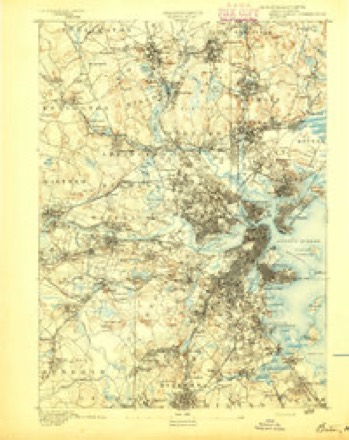
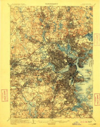
1893 to 1989The same ground, surveyed 96 years apart. Drag the handle to wipe between them. Both sheets are United States Geological Survey originals; neither has been altered.
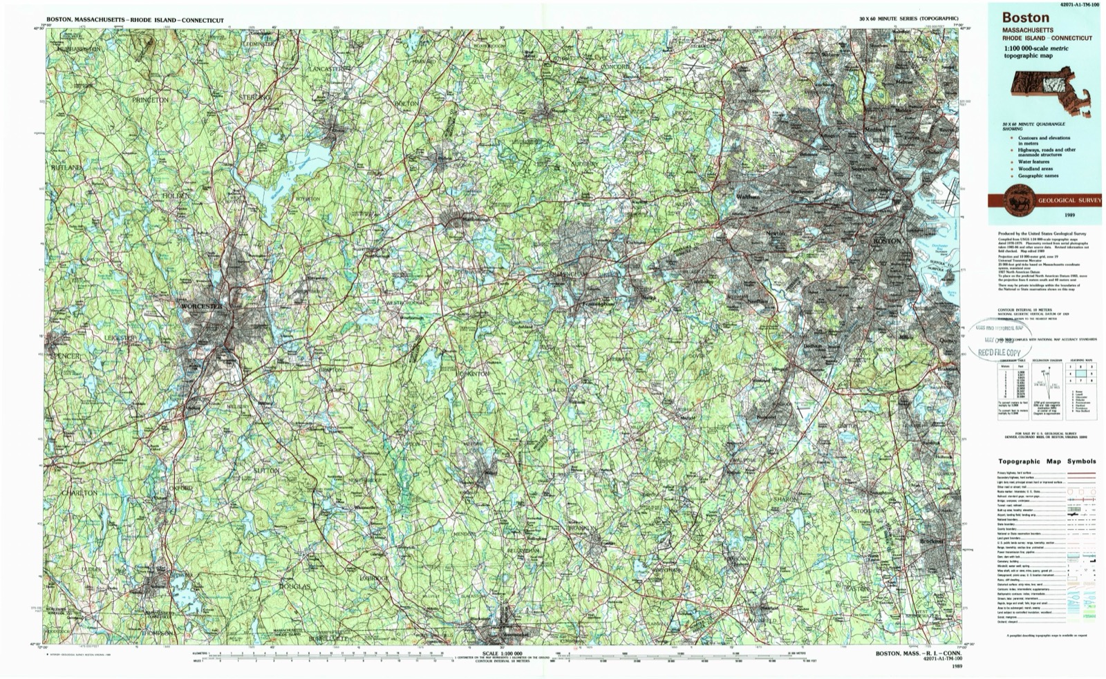
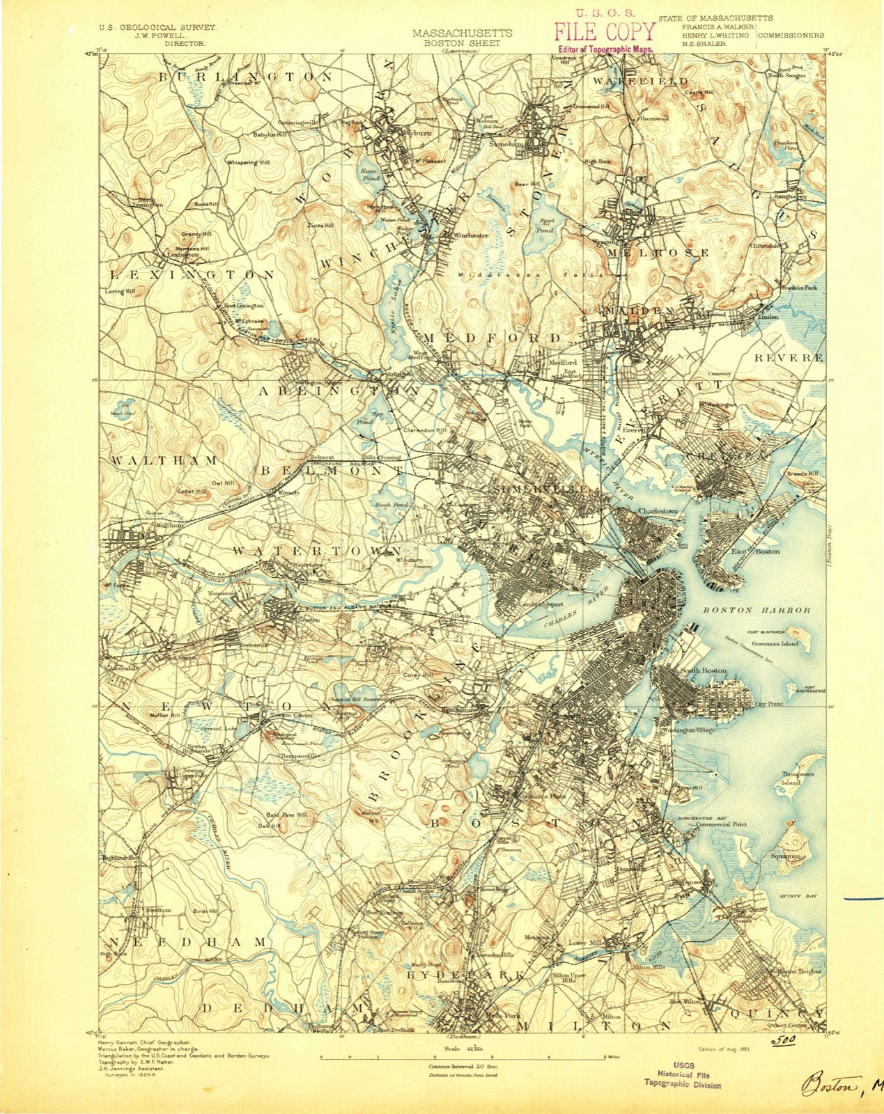
On record in North Quincy
Buildings and businesses the archive holds for this place. Each opens its own page, with the source record it came from.
On the National Register within a mile 12 of 20 shown
The National Register names another town for these. They stand within one mile of this settlement's coordinate.
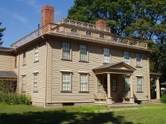 Josiah Quincy HouseNational Historic Landmark · listed 1997 · 0.5 miles away
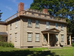 Josiah Quincy HouseNational Historic Landmark · listed 1976 · 0.5 miles away
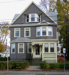 Charles E. White Houselisted 1989 · 0.2 miles away
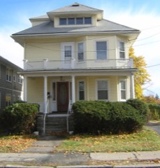 John Halloran Houselisted 1989 · 0.3 miles away
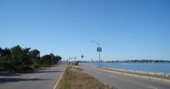 Quincy Shore Drivelisted 2003 · 0.4 miles away
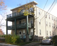 Building at 51 Hunt Streetlisted 1989 · 0.4 miles away
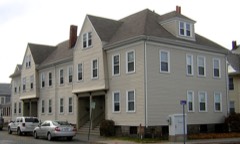 Building at 1-7 Moscow Streetlisted 1989 · 0.4 miles away
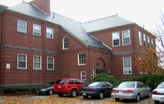 Massachusetts Fields Schoollisted 1990 · 0.4 miles away
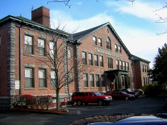 Quincy Schoollisted 1983 · 0.5 miles away
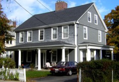 Glover Houselisted 1989 · 0.5 miles away
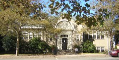 Wollaston Branch, Thomas Crane Public Librarylisted 1989 · 0.7 miles away
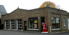 Smith, A. C., & Co. Gas Stationlisted 1994 · 0.8 miles away
Topographic sheets covering this place
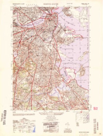
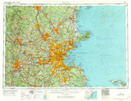
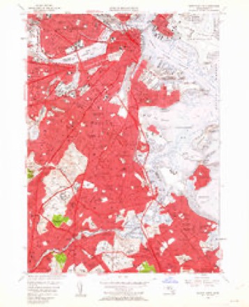
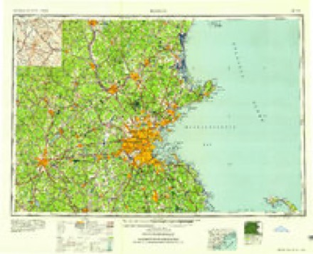
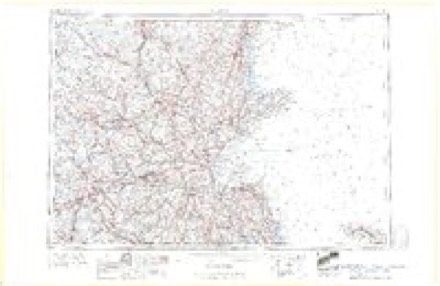
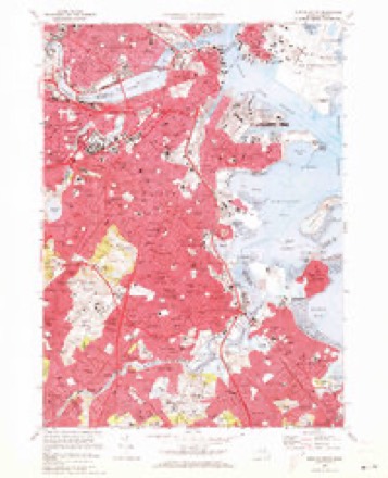
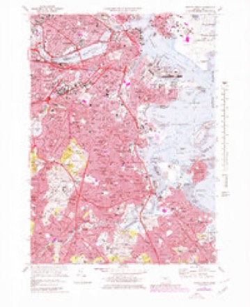
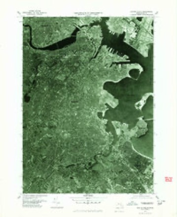
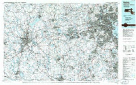
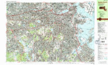
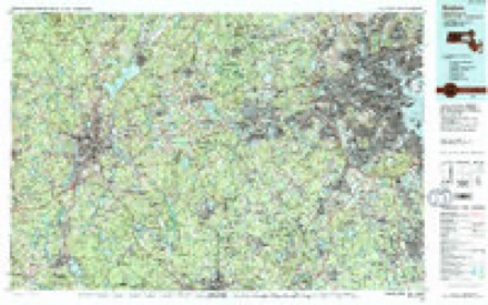
17 surveys from 46 printed sheetsMatched by testing this settlement's coordinate against the published boundary of every sheet in the United States Geological Survey's historical collection. Each opens the scanned sheet at the Survey.
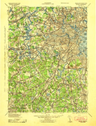
- 1893 USGS Boston quadrangle1:62500, 4 printings
- 1903 USGS Boston quadrangle1:62500, 13 printings
- 1943 USGS Boston quadrangle1:125000
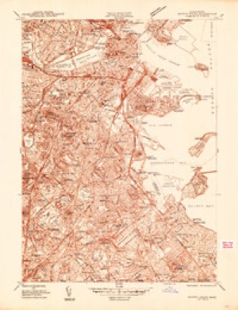
- 1944 USGS Boston South quadrangle1:24000
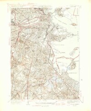
- 1946 USGS Boston South quadrangle1:31680, 3 printings
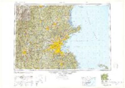
- 1948 USGS Boston quadrangle1:250000, 2 printings
- 1954 USGS Boston South quadrangle1:25000
- 1956 USGS Boston quadrangle1:250000, 6 printings
- 1956 USGS Boston South quadrangle1:24000, 3 printings
- 1958 USGS Boston quadrangle1:250000, 2 printings
- 1961 USGS Boston quadrangle1:250000, 2 printings
- 1970 USGS Boston South quadrangle1:24000
- 1970 USGS Boston South quadrangle1:25000
- 1977 USGS Boston South quadrangle1:25000
- 1985 USGS Boston quadrangle1:100000
- 1987 USGS Boston South quadrangle1:25000, 2 printings
- 1989 USGS Boston quadrangle1:100000, 2 printings
In the county-history sources
94,488 words on this townshipHistory of Norfolk County, Massachusetts, with Biographical Sketches of Many of Its Pioneers and Prominent Men, published 1884 names this settlement in its chapter on Quincy City. These are the passages that mention it, exactly as the scans read.
But though the most prominent and distinctive, Wheelwright was not the only resident or land-owner at Mount Wollaston the course of whose future life was changed by reason of the Antinomian controversy. It will be remembered that, besides Coddington and Hough, the husband of Mrs. Hutchinson also had an allotment just south of the Neponset. The subsequent and most tragic record of the Hutchinson family is one of the familiar pages in New England history. It does not need to be rewritten here. It is sufficient to say that when at last, in the early days of April (March 28th, O. S.), 1638, Governor Winthrop ordered Anne Hutchinson to leave the Massachusetts jurisdiction, she went in a boat across the harbor to the Neponset, and there landed near her husband's farm in what is now North Quincy. She had until the close of the month to leave the province. This was the first stage of her journey. Her plan was to join John Wheelwright's family, who had not yet left their home, and go with them by water to Portsmouth. But her own husband had in the mean time found an abiding-place more to his liking in Rhode Island, where Newport now is; so, changing their plans, the wife and children journeyed by land to Providence, aud thence passed across to the island of Aquidneck.
Passage source: History of Norfolk County, Massachusetts, with Biographical Sketches of Many of Its Pioneers and Prominent Men, published 1884.
Machine-read from a century-old scan, so expect the errors a machine makes: misspelled names, dropped words, stray characters.
Fires near this place
185 since 2015Regional context, not property-specific evidence. The federal wildfire occurrence database lists 185 fires within 5 miles of North Quincy between 2015 and 2020, burning about 85 acres in total. None started naturally. None was recorded as arson. Distance is straight-line from the map coordinates, so a fire counted here may appear on a neighbouring settlement's page as well.
| Reported cause | Fires |
|---|---|
| Recreation and ceremony | 133 |
| Smoking | 33 |
| Missing data/not specified/undetermined | 17 |
| Debris and open burning | 1 |
| Equipment and vehicle use | 1 |
The most recent of them, most recent first, with the day each was reported and the service that recorded it.
| Date | Cause | Size | Reported by | Name on the report |
|---|---|---|---|---|
| 7 September 2015 | Recreation and ceremony | under an acre | Massachusetts Bureau of Forest Fire Control | BRAINTREE |
| 7 September 2015 | Recreation and ceremony | under an acre | Massachusetts Bureau of Forest Fire Control | BRAINTREE |
| 5 September 2016 | Smoking | under an acre | Massachusetts Bureau of Forest Fire Control | QUINCY |
| 28 September 2015 | Recreation and ceremony | under an acre | Massachusetts Bureau of Forest Fire Control | BRAINTREE |
| 23 September 2019 | Missing data/not specified/undetermined | under an acre | Massachusetts Bureau of Forest Fire Control | not named |
| 22 September 2015 | Recreation and ceremony | under an acre | Massachusetts Bureau of Forest Fire Control | BRAINTREE |
| 22 September 2015 | Recreation and ceremony | 1.5 acres | Massachusetts Bureau of Forest Fire Control | BRAINTREE |
| 14 September 2016 | Smoking | under an acre | Massachusetts Bureau of Forest Fire Control | QUINCY |
Settlements close enough to share some of these fires:
Specimens collected near this place
12 of 11,559 shownRegional context, not property-specific evidence. Museums hold 11,559 specimens collected within 10 miles of North Quincy between 1810 and 1975: 5,434 Plantae, 2,753 Fungi, 2,726 Animalia, 374 Chromista, 188 Protozoa, 54 Unrecorded, 30 Bacteria. 12 distinct Species records are shown. Collected by (MARSDEN, H W), ?, A C Gibson and others. Each is a physical object with a catalogue number, and each entry opens the museum's record. This is what was collected and kept, not a survey of what lives here - nothing can be concluded from a species being absent.
| Image | Species | Year | Collected by | Where, as recorded |
|---|---|---|---|---|
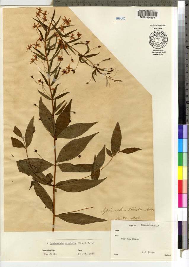 | Lysimachia × producta (A.Gray) Fernald | 1900 | A. P. Chute | |
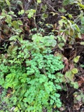 | Thalictrum L. | 1810 | Boott, J.W. | Near Boston. |
 | Anemone L. | 1815 | Boott, J. | Andover Turnpike, 7 miles from Boston. |
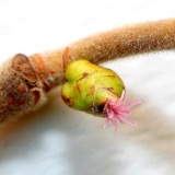 | Corylus L. | 1815 | not recorded | Cambridge Port, 2 miles from Boston. |
| Ericaceae | 1815 | Boott | Boston, U.S.A. | |
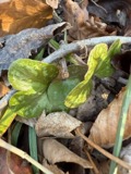 | Hepatica Mill. | 1815 | Boott, F.M.B. | Sweet Auburn. |
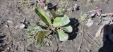 | Limonium vulgare Mill. | 1815 | not recorded | On Cragies Road [=near Cragies Bridge], 1 1/2 miles from Boston. |
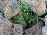 | Mollugo verticillata L. | 1815 | Boott, F.M.B. | Boston. |
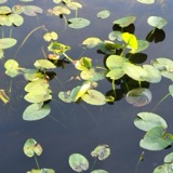 | Nuphar Sm. | 1815 | Boott, J.W. | Worcester Turnpike 6 miles from Boston. |
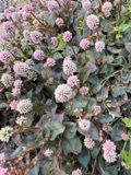 | Persicaria (L.) Mill. | 1815 | Boott, J.W. | Craigie's Road, 2 miles from Boston. |
 | Populus L. | 1815 | not recorded | Cambridgeport, 1 mile from Boston. |
 | Ranunculus L. | 1815 | not recorded | Thicket at South Boston. |
All 11,559 specimens within 10 miles, at the Global Biodiversity Information Facility.
Mines and quarries near this place
3 within 5 milesRegional context, not property-specific evidence. The federal mineral resources record lists 3 workings within 5 miles of North Quincy: 2 producers, 1 past producer. 2 still produce. What was taken out: Granite, Stone, Crushed/Broken, Sand and Gravel, Construction. Distance is straight-line from the map coordinates, so a quarry counted here may appear on a neighbouring settlement's page as well.
| Where | Site | Commodity | Status | Recorded |
|---|---|---|---|---|
| Braintree Plant | Sand and Gravel, Construction | Producer | ||
| Old Colony Crushed Stone | Granite | Past Producer | Granite | |
| Old Colony Quarry | Stone, Crushed/Broken | Producer |
Storms near this place
1 since 2016Regional context, not property-specific evidence. The National Weather Service names North Quincy in 1 storm report in 2016: 1 flood. No death or injury is recorded in these reports. Each account below is quoted exactly as the forecast office filed it, from the NOAA Storm Events Database, and each date opens the federal record of that event.
| When | Event | Place named | Harm | What the report says |
|---|---|---|---|---|
| June 2016 | Flood | North Quincy | - | Standish Road was impassable due to flooding near the intersection with Parke Avenue. |
Nearest settlements
The eight closest, with where each one stands in the county. Distances are straight-line, computed from the Geographic Names Information System coordinates.
| Map | Place | Distance | Sheets |
|---|---|---|---|
| Norfolk Downs | 0.3 miles | 46 | |
| Atlantic | 0.5 miles | 46 | |
| Wollaston | 0.9 miles | 46 | |
| Montclair | 0.9 miles | 46 | |
| New Squantum | 1.2 miles | 46 | |
| Squantum | 1.4 miles | 46 | |
| Merrymount | 1.7 miles | 41 | |
| East Milton | 1.7 miles | 46 |
Provenance
This settlement is recorded in the Geographic Names Information System as feature 612972. The sheet list is computed by point-in-boundary test against the United States Geological Survey's historical topographic inventory. Both are works of the United States government and carry no copyright under 17 U.S.C. 105.
Wildfire. Short, Karen C. 2022. Spatial wildfire occurrence data for the United States, 1992-2020 [FPA_FOD_20221014]. 6th Edition. Fort Collins, CO: Forest Service Research Data Archive. https://doi.org/10.2737/RDS-2013-0009.6 Collected with United States Government funding and usable without additional permissions or fees.
Specimens. Global Biodiversity Information Facility (GBIF), https://www.gbif.org/. Only records licensed CC0 or CC BY are used. Records licensed CC BY-NC are excluded because this site carries advertising. Images are checked individually and any whose licence is non-commercial, no-derivatives or unreadable is refused.
Mines and quarries. USGS Mineral Resources Data System (MRDS) https://mrdata.usgs.gov/mrds/ A work of the United States government, no copyright under 17 U.S.C. 105.
Storms. NOAA National Centers for Environmental Information, Storm Events Database https://www.ncei.noaa.gov/stormevents/ A work of the United States government, no copyright under 17 U.S.C. 105. Narratives are quoted verbatim from the National Weather Service report and are not edited or summarised.