 Block
Block
North Ridgeville, Ohio
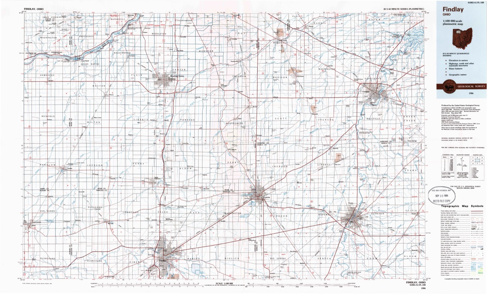
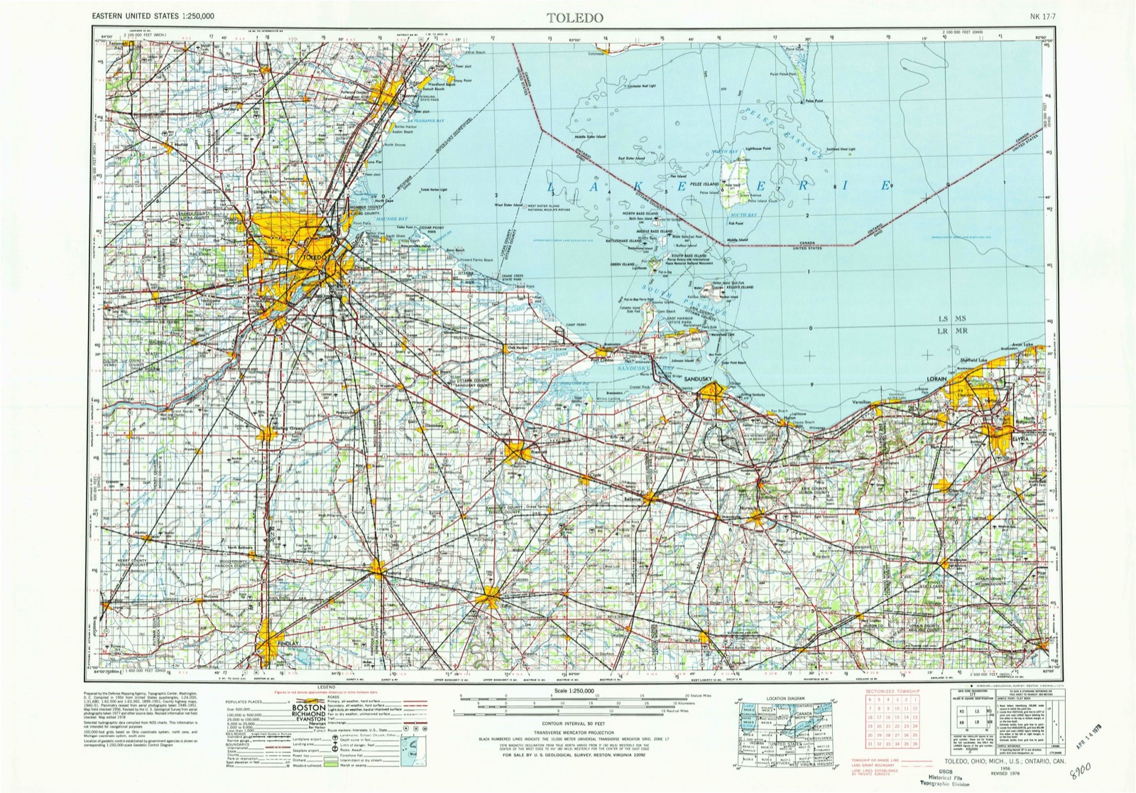
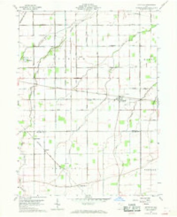
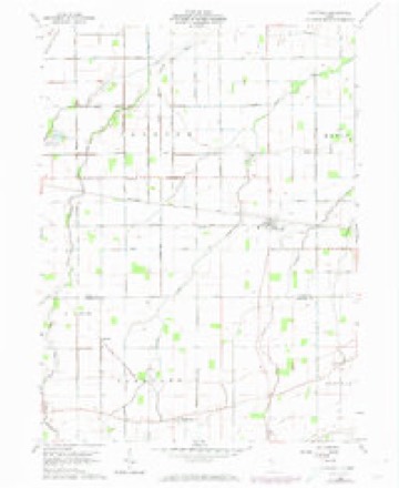
11 topographic sheets cover this place, the earliest surveyed in 1956 and the latest in 1986. It stands in Pleasant Township. It lies in ZIP code area 45858. The Survey maps it on the Hoytville quadrangle. The federal gazetteer marks this settlement historical: it is no longer a populated place, though the surveys that recorded it still are.
Then and now
1956 to 1986The same ground, surveyed 30 years apart. Drag the handle to wipe between them. Both sheets are United States Geological Survey originals; neither has been altered.
Topographic sheets covering this place
11 sheetsMatched by testing this settlement's coordinate against the published boundary of every sheet in the United States Geological Survey's historical collection. Each opens the scanned sheet at the Survey.
- 1956 USGS Toledo quadrangle1:250000
- 1956 USGS Toledo quadrangle1:250000
- 1956 USGS Toledo quadrangle1:250000
- 1956 USGS Toledo quadrangle1:250000
- 1960 USGS Hoytville quadrangle1:24000
- 1960 USGS Hoytville quadrangle1:24000
- 1960 USGS Hoytville quadrangle1:24000
- 1960 USGS Hoytville quadrangle1:24000
- 1961 USGS Toledo quadrangle1:250000
- 1986 USGS Findlay quadrangle1:100000
- 1986 USGS Findlay quadrangle1:100000





In the county-history sources
11,412 words on this townshipHistory of Hancock County, Ohio : Containing a History of the County, Its Townships, Towns ... Portraits of Early Settlers and Prominent Men, Biographies, History of the Northwest Territory, History of Ohio, Statistical and Miscellaneous Matter, Etc, published 1886 names this settlement in its chapter on Pleasant Township. These are the passages that mention it, exactly as the scans read.
CJounty, but served only two years. He died on his farm in this township. It has been told by several pioneers that Judge Price was a well-informed man, and stood high in the estimation of the best citizens.
Passage source: History of Hancock County, Ohio : Containing a History of the County, Its Townships, Towns ... Portraits of Early Settlers and Prominent Men, Biographies, History of the Northwest Territory, History of Ohio, Statistical and Miscellaneous Matter, Etc, published 1886.
John Kalb came here fi-om Franklin County, Ohio, in the fall of 1834, and settled on the east half of the northeast quarter of Section 22, which he entered June 4 of that year. Mr. Kalb contributed his full share toward the development of his adopted county, and has left a record bright with good deeds. His wife, Anna, died in 1852. Two of his sons, Isaac N. and John S. , were ministers of the Methodist Church, to which faith he also adhered for many years prior to his death, which occurred February 28, 1872. Three of his daughters are residents of the township.
Passage source: History of Hancock County, Ohio : Containing a History of the County, Its Townships, Towns ... Portraits of Early Settlers and Prominent Men, Biographies, History of the Northwest Territory, History of Ohio, Statistical and Miscellaneous Matter, Etc, published 1886.
Machine-read from a century-old scan, so expect the errors a machine makes: misspelled names, dropped words, stray characters.
Specimens collected near this place
12 of 53 shownRegional context, not property-specific evidence. Museums hold 53 specimens collected within 10 miles of North Ridgeville (historical) between 1906 and 1975: 52 Animalia, 1 Fungi. 12 distinct Species records are shown. Collected by David G. Furth, F. O. Grover, Langlois, T. H. and others. Each is a physical object with a catalogue number, and each entry opens the museum's record. This is what was collected and kept, not a survey of what lives here - nothing can be concluded from a species being absent.
| Image | Species | Year | Collected by | Where, as recorded |
|---|---|---|---|---|
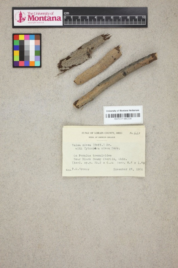 | Valsa nivea (Hoffm.) Fr. | 1906 | F. O. Grover | Near Black Swamp, Oberlin. |
 | Catostomus commersonii (Lacepède, 1803) | 1929 | Trautman, M. B. (Milton Bernard) | Ottawa Creek, at Benton Ridge, ~0.4 mi E of Benton Ridge, Blanchard township |
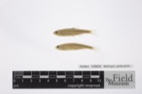 | Notropis umbratilis (Girard, 1856) | 1929 | Trautman, M. B. (Milton Bernard) | Ottawa Creek, at Benton Ridge, ~0.4 mi E of Benton Ridge, Blanchard township |
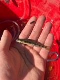 | Percina maculata (Girard, 1859) | 1929 | Trautman, M. B. (Milton Bernard) | Ottawa Creek, at Benton Ridge, ~0.4 mi E of Benton Ridge, Blanchard township |
 | Campostoma anomalum pullum (Agassiz, 1854) | 1930 | MB Trautman | Ottawa Creek, trib of the Blanchard River, S Blanchard Township |
 | Catostomus commersonnii commersonnii (Lacepède, 1803) | 1930 | MB Trautman | Ottawa Creek, trib of the Blanchard River, S Blanchard Township |
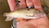 | Erimyzon oblongus claviformis (Girard, 1856) | 1930 | MB Trautman | Ottawa Creek, trib of the Blanchard River, S Blanchard Township |
 | Etheostoma blennioides Rafinesque, 1819 | 1930 | MB Trautman | Ottawa Creek, trib of the Blanchard River, S Blanchard Township |
 | Etheostoma caeruleum Storer, 1845 | 1930 | MB Trautman | Ottawa Creek, trib of the Blanchard River, S Blanchard Township |
 | Etheostoma flabellare Rafinesque, 1819 | 1930 | MB Trautman | Ottawa Creek, trib of the Blanchard River, S Blanchard Township |
 | Etheostoma nigrum Rafinesque, 1820 | 1930 | MB Trautman | Ottawa Creek, trib of the Blanchard River, S Blanchard Township |
 | Etheostoma spectabile (Agassiz, 1854) | 1930 | MB Trautman | Ottawa Creek, trib of the Blanchard River, S Blanchard Township |
All 53 specimens within 10 miles, at the Global Biodiversity Information Facility.
Nearest settlements
The eight closest, with where each one stands in the county. Distances are straight-line, computed from the Geographic Names Information System coordinates.
| Map | Place | Distance | Sheets |
|---|---|---|---|
| Hancock | 1.5 miles | 11 | |
| Shawtown | 1.9 miles | 9 | |
| Butlers Mill | 2.0 miles | 11 | |
| Deweyville | 2.2 miles | 11 | |
| McComb | 4.1 miles | 9 | |
| Lewisville (historical) | 6.9 miles | 9 | |
| Portage Center | 7.2 miles | 13 | |
| Moffitt (historical) | 7.8 miles | 9 |
Provenance
This settlement is recorded in the Geographic Names Information System as feature 1063604. The sheet list is computed by point-in-boundary test against the United States Geological Survey's historical topographic inventory. Both are works of the United States government and carry no copyright under 17 U.S.C. 105.
Specimens. Global Biodiversity Information Facility (GBIF), https://www.gbif.org/. Only records licensed CC0 or CC BY are used. Records licensed CC BY-NC are excluded because this site carries advertising. Images are checked individually and any whose licence is non-commercial, no-derivatives or unreadable is refused.