 Block
Block
Ogden, Ohio
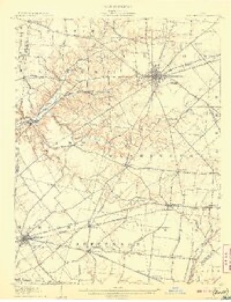
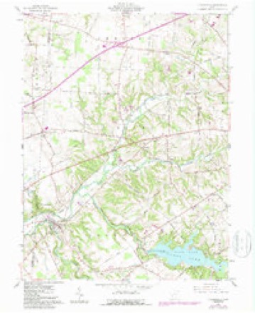
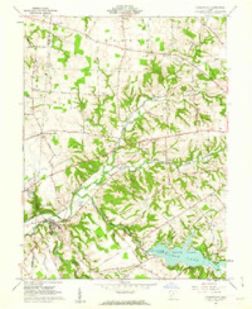
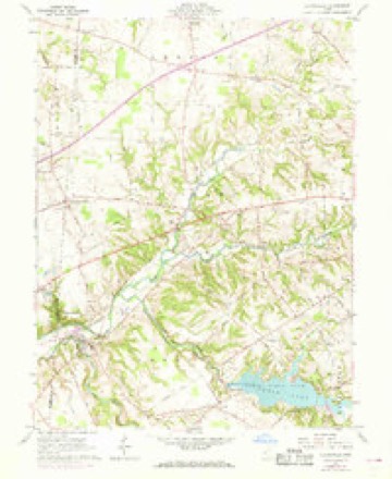
13 topographic sheets cover this place, the earliest surveyed in 1907 and the latest in 1986. It stands in Adams Township. It lies in ZIP code area 45177. The Survey maps it on the Clarksville quadrangle.
Then and now
1907 to 1986The same ground, surveyed 79 years apart. Drag the handle to wipe between them. Both sheets are United States Geological Survey originals; neither has been altered.
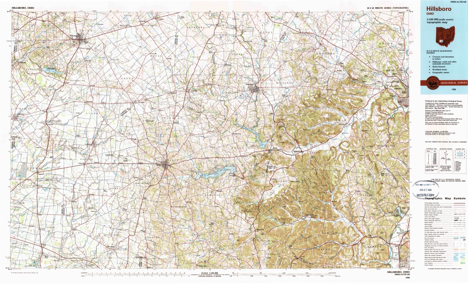
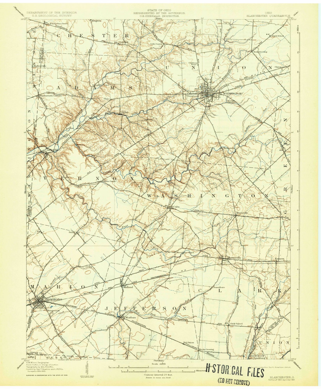
Topographic sheets covering this place
13 sheetsMatched by testing this settlement's coordinate against the published boundary of every sheet in the United States Geological Survey's historical collection. Each opens the scanned sheet at the Survey.
- 1907 USGS Blanchester quadrangle1:62500
- 1907 USGS Blanchester quadrangle1:62500
- 1907 USGS Blanchester quadrangle1:62500
- 1947 USGS Columbus quadrangle1:250000
- 1960 USGS Clarksville quadrangle1:24000
- 1960 USGS Clarksville quadrangle1:24000
- 1960 USGS Clarksville quadrangle1:24000
- 1961 USGS Columbus quadrangle1:250000
- 1962 USGS Columbus quadrangle1:250000
- 1967 USGS Columbus quadrangle1:250000
- 1967 USGS Columbus quadrangle1:250000
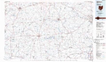
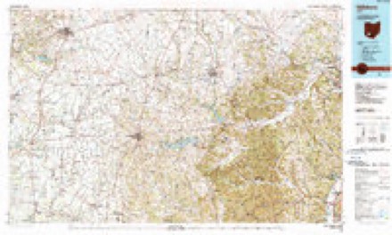
- 1986 USGS Hillsboro quadrangle1:100000
- 1986 USGS Hillsboro quadrangle1:100000





In the county-history sources
47,244 words on this townshipThe History of Clinton County, Ohio, published 1882 names this settlement in its chapter on Adams Township. These are the passages that mention it, exactly as the scans read.
There are only two villages in the township, Sligo and Ogden, neither of which is incorporated. Sligo had no existence prior to the building of the Goshen & Wilmington Turnpike. A man by the name of George Taylor, a hatter by trade, had a shop there on a lot in the forks of the road long before the town was laid out. This lot was afterward owned by John Kimbrough, on which he built a house in 1841 or 1842, the first two-story house erected in the town. In this building he kept hotel for several years. A toll-gate house (the first one) was built by John Shields in 1840. The lot is now owned by the heirs of John Murphy. The second toll-gate house was built by Rebecca Kersey, sister of Thomas Kersey, but the gate was kept by the Widow Beach. The toll-gate was taken down several years ago, but the house is still standing. John Swindler was the first blacksmith at Sligo, and John Hawthorn the next. Hawthorn left in the spring of 1839, and went to Eaton. John Kimbrough commenced smithing in the same shop, a log one, in 1839. It -stood north of the pike, but on the south side of the old road. That shed was torn down, and a brick one built by Kimbrough, in 1841.
Passage source: The History of Clinton County, Ohio, published 1882.
Ogden had no existence until some years after the railroad was built. It was first called Linden, but there being a station on the Marietta & Cincinnati road by the name of Lyndon, many mistakes occurred in shipping freight out from Cincinnati, causing confusion and delay in receiving them. The name, therefore, was abandoned, and that of Ogden substituted, being named for Ogden on the Pacific Railroad. It was made a passenger and freight station in 1855, by the railroad authorities; $700 were raised by the citizens of the vicinity and donated to the railroad company for the purpose of getting the station established at that point, the stopping-place for passengers, therefore, being about half a mile farther west, at Andrew's Mill. Afterward, there was some land donated to the company for stockpens, switch, etc. To Asa Green belongs the credit of getting the station established there more than to any other person. He put up the first building in Ogden. It was used as a station-house and storeroom, and has been occupied ever since as such, some additions having been added since. He also put up the freight depot with the assistance of some other parties of the neighborhood. A small house, built by Peyton Burton, was moved across the creek to a lot and used for a residence by John Marsh, the first station agent. John Wisman built the second residence in Ogden He was a miller by trade Asa Green laid off five lots in 1857, on the south side of the railroad, on land bought of John B. Carter. In 1859, Jacob Beard built a residence. In December, 1860, Carter laid off four lots on the north side of the railroad, and Asa Green five. In June, 1866, there was a meeting-house lot and five others laid off by Asa Green, making twenty in all. In the spring of 1864, David F. Carter built a residence, now owned by Joseph Smith, and in March of that year I. W. Quinby bought the corner lot of Asa Green, and moved a two-story frame building from Sligo upon it. He used the lower story for a storeroom, and fitted up the upper story for a residence. In October of that year, he and Amos Huffman, under the firm name of Quinby & Huffman, opened a store in the lower room. In 1864, Abraham Haney built a residence since known as the Joseph Coate property. Various other residences were built from time to time. Adam Osborn built the first blacksmith shop about 1864, and has occupied it continuously ever since. The station and railroad agents have been as follows, and in the following order: John Marsh, Jacob Beard, Isaac Roberts, Huffman & Osborn, Jeremiah Kimbrough, George W. Owens and Clare & Colter.
Passage source: The History of Clinton County, Ohio, published 1882.
There have been two post offices in Adams Township. The first was at Sligo, established the 13th of March, 1844. This post office remained located at Sligo until the 8th of September, 1865, when it was removed to Ogden by order of the Post Office Department in order to avoid the expense of conveying the mail from the station at Ogden to and from Sligo, and to afford better mail facilities. The following are the names of the various Postmasters, and when appointed:
Passage source: The History of Clinton County, Ohio, published 1882.
Machine-read from a century-old scan, so expect the errors a machine makes: misspelled names, dropped words, stray characters.
Read the whole chapter on Adams Township - it names this place 15 more 15 times.
Specimens collected near this place
12 of 490 shownRegional context, not property-specific evidence. Museums hold 490 specimens collected within 10 miles of Ogden between 1892 and 1974: 423 Animalia, 55 Fungi, 9 Plantae, 3 Unrecorded. 12 distinct Species records are shown. Collected by A. R. Gaufin, A.R. Gaufin, H.H. Ross, Allen, A. (Avery) and others. Each is a physical object with a catalogue number, and each entry opens the museum's record. This is what was collected and kept, not a survey of what lives here - nothing can be concluded from a species being absent.
| Image | Species | Year | Collected by | Where, as recorded |
|---|---|---|---|---|
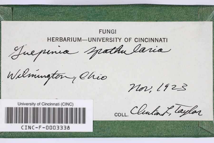 | Guepinia spathularia (Schwein.) Fr. | 1923 | Taylor, C.L. | Wilmington |
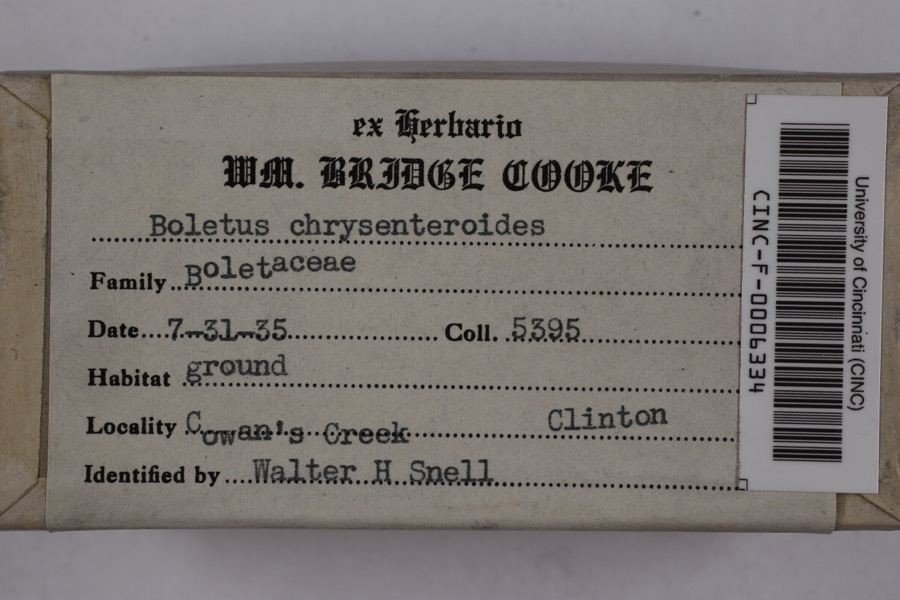 | Boletellus chrysenteroides (Snell) Snell | 1935 | Cooke, William Bridge | Cowan's Creek |
 | Boletus bicolor Raddi | 1935 | Cooke, William Bridge | Cowan's Creek |
 | Desmodium pauciflorum (Nutt.) DC. | 1892 | J. S. Vanderwort | New Antioch |
 | Pseudosuccinea columella (Say, 1817) | 1911 | not recorded | Clinton, North America |
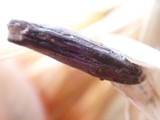 | Claviceps purpurea (Fr.) Tul. | 1919 | Lewis H. L. | Wilmington |
 | Corydalus cornutus (Linnaeus, 1758) | 1920 | E. C. Stinson | Harveysburg |
 | Cladonia fimbriata (L.) Fr. | 1923 | Taylor, C.J. | Wilmington |
 | Parmelia Acharius, 1803 | 1924 | Taylor, L. | Wilmington |
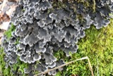 | Peltigera praetextata (Flörke ex Sommerf.) Zopf | 1924 | Taylor, C.L. | Wilmington |
 | Etheostoma variatum Kirtland, 1840 | 1926 | Wickliff, E. L. (Edward L.) | Todd Fork, near present day US 68 estimated based off Fishes of Ohio map |
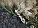 | Mustela frenata Lichtenstein, 1831 | 1927 | Hazard, F. O. | Reesville, Clinton Co., Ohio, USA |
All 490 specimens within 10 miles, at the Global Biodiversity Information Facility.
Storms near this place
15 since 2008Regional context, not property-specific evidence. The National Weather Service names Ogden in 15 storm reports between 2008 and 2025: 13 thunderstorm wind, 2 hail. No death or injury is recorded in these reports. Each account below is quoted exactly as the forecast office filed it, from the NOAA Storm Events Database, and each date opens the federal record of that event.
| When | Event | Place named | Harm | What the report says |
|---|---|---|---|---|
| June 2021 | Thunderstorm Wind | Ogden | $5,000 | Several large trees were downed. |
| July 2024 | Thunderstorm Wind | Ogden | $3,000 | A tree fell onto a road and a power pole was snapped. |
| June 2022 | Thunderstorm Wind | Ogden | $3,000 | Large branches and wires were downed. |
| June 2016 | Thunderstorm Wind | Ogden | $3,000 | Large tree limbs were down covering U.S. 22/Ohio Route 3, making it impassable. |
| June 2008 | Thunderstorm Wind | Ogden | $3,000 | A large tree was downed along State Route 730. Large limbs were hanging over the road with a power pole close to breaking. The road was closed for a brief period of time. |
| June 2024 | Thunderstorm Wind | Ogden | $2,000 | Two trees were downed. |
| June 2008 | Thunderstorm Wind | Ogden | $2,000 | Two trees were downed along US Route 22 and State Route 3 between State Route 380 and Beechgrove Road. |
| May 2025 | Thunderstorm Wind | Ogden | $1,000 | A tree was downed onto the roadway. |
| June 2022 | Thunderstorm Wind | Ogden | $1,000 | Two large branches were downed. One damaged a wooden fence. |
| August 2019 | Thunderstorm Wind | Ogden | $1,000 | A tree was knocked down over a power line. |
| August 2019 | Thunderstorm Wind | Ogden | $1,000 | A tree was knocked down. |
| June 2018 | Thunderstorm Wind | Ogden | $1,000 | A tree was knocked down along Pyle Road. |
| May 2025 | Thunderstorm Wind | Ogden | $250 | Numerous large tree branches were downed. |
| May 2025 | Hail | Ogden | - | no account filed |
| July 2014 | Hail | Ogden | - | no account filed |
Nearest settlements
The eight closest, with where each one stands in the county. Distances are straight-line, computed from the Geographic Names Information System coordinates.
| Map | Place | Distance | Sheets |
|---|---|---|---|
| Sligo | 0.9 miles | 13 | |
| Town And Country Estates | 3.3 miles | 14 | |
| Oakland | 3.6 miles | 13 | |
| Little Center | 4.2 miles | 14 | |
| Vandervorts Corners | 4.2 miles | 13 | |
| Clarksville | 4.2 miles | 13 | |
| Wilmington | 4.5 miles | 14 | |
| Kingman | 5.1 miles | 15 |
Provenance
This settlement is recorded in the Geographic Names Information System as feature 1065191. The sheet list is computed by point-in-boundary test against the United States Geological Survey's historical topographic inventory. Both are works of the United States government and carry no copyright under 17 U.S.C. 105.
Specimens. Global Biodiversity Information Facility (GBIF), https://www.gbif.org/. Only records licensed CC0 or CC BY are used. Records licensed CC BY-NC are excluded because this site carries advertising. Images are checked individually and any whose licence is non-commercial, no-derivatives or unreadable is refused.
Storms. NOAA National Centers for Environmental Information, Storm Events Database https://www.ncei.noaa.gov/stormevents/ A work of the United States government, no copyright under 17 U.S.C. 105. Narratives are quoted verbatim from the National Weather Service report and are not edited or summarised.