 Block
Block
Clarksville, Ohio
13 topographic sheets cover this place, the earliest surveyed in 1907 and the latest in 1986. It stands in Vernon Township. It lies in ZIP code area 45113. It stands on Sewell Run. The Survey maps it on the Clarksville quadrangle. 534 people lived here at the 2020 count. It stands 820 feet above sea level.
Population over time
2 figuresClarksville fell from 548 to 534 between 2010 and 2020. These are the recorded population figures Wikidata holds for this place, reached through the Geographic Names Information System number this page is keyed on rather than by name, so they belong to this place and not to another of the same name. Most are census counts, but not all are: an early figure may be a founding or settlement estimate. The change column is computed, and is left blank where more than 20 years separate a figure from the one before it, because a gap that long is not a change between two counts.
| Year | People | Change |
|---|---|---|
| 2010 | 548 | |
| 2020 | 534 | -14 (-3%) |
Then and now
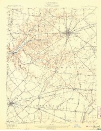
1907 to 1986The same ground, surveyed 79 years apart. Drag the handle to wipe between them. Both sheets are United States Geological Survey originals; neither has been altered.
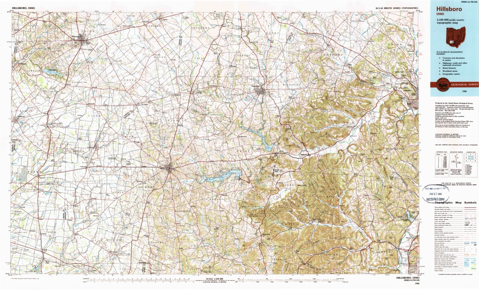
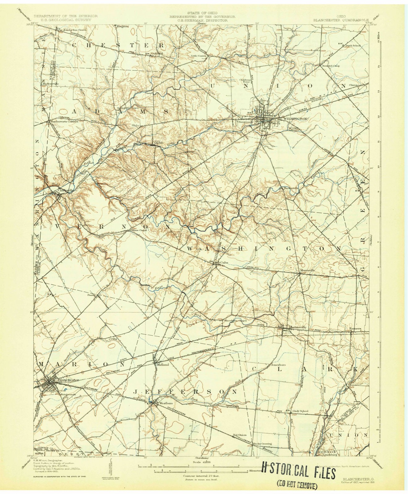
Topographic sheets covering this place
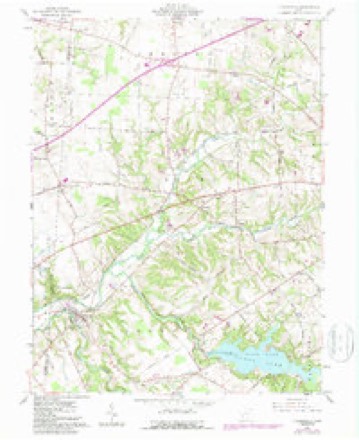
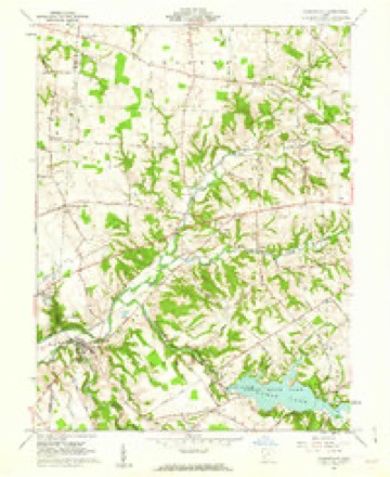
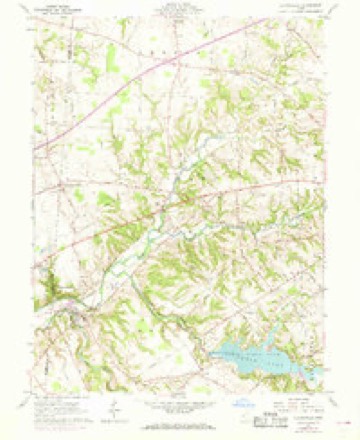
13 sheetsMatched by testing this settlement's coordinate against the published boundary of every sheet in the United States Geological Survey's historical collection. Each opens the scanned sheet at the Survey.
- 1907 USGS Blanchester quadrangle1:62500
- 1907 USGS Blanchester quadrangle1:62500
- 1907 USGS Blanchester quadrangle1:62500
- 1947 USGS Columbus quadrangle1:250000
- 1960 USGS Clarksville quadrangle1:24000
- 1960 USGS Clarksville quadrangle1:24000
- 1960 USGS Clarksville quadrangle1:24000
- 1961 USGS Columbus quadrangle1:250000
- 1962 USGS Columbus quadrangle1:250000
- 1967 USGS Columbus quadrangle1:250000
- 1967 USGS Columbus quadrangle1:250000
- 1986 USGS Hillsboro quadrangle1:100000
- 1986 USGS Hillsboro quadrangle1:100000





In the county-history sources
2,926 words on this townshipThe History of Clinton County, Ohio : Containing a History of the County; Its Townships, Cities, Towns ... General and Local Statistics; Portraits of Early Settlers and Prominent Men; History of the Northwest Territory; History of Ohio .., published 1915 names this settlement in its chapter on Vernon Township. These are the passages that mention it, exactly as the scans read.
Vernon township is located in tlie central western portion of Clinton county. It is bounded on the north by AdaniB township, on the east by Washington, on the south by Marlon township and on the west by Warren county. It Is one of the three original townships of which Clinton county was composed nt the time of Its organization in 1810. At that time It Included also Marlon and ports of Adams. Washington. Clark, Union and Jefferson townships. Todd's fork, a tributary of the Uttle Miami river. Cowan's creek. East fork of Todd's fork and Sewell's run. tributaries of Todd's fork, flow through the township, coming together, or nearly so. in the western. part, near the town of Clnrksvllle.
Passage source: The History of Clinton County, Ohio : Containing a History of the County; Its Townships, Cities, Towns ... General and Local Statistics; Portraits of Early Settlers and Prominent Men; History of the Northwest Territory; History of Ohio .., published 1915.
The first roads of the new settlements were mere trails blazed through the great forest. Then the corduroy road, or causeway of logs, was considered a groat improvement The log system of roadmnking, in regions where the soil was wet and timber abundant on the spot, and only costing the cutting, was a very effective means of making the old trails passable. No donbt travel over some of those old log roads must, at times, have been more serious than amusing. The logs were usually of unequal slses and transit over such a surface In a wagon without springs must have been far from comfortable. The first road laid out in the township was what was known as the College township road. The Sewell settlement and Morgan Van Meter's house, at what is now known as Snow Hill, were the most Important points on it. It Is hard to recognise these old roads now from the field notes given, they have been changed so often. The Columbus & Cincinnati state road crossed the township from east to southwest. A road that passed by Vlllar's chapel and on toward Rlnnchester was laid out at a very early date. The road from Lawrence's to Clarksvllle was laid out in 1836.
Passage source: The History of Clinton County, Ohio : Containing a History of the County; Its Townships, Cities, Towns ... General and Local Statistics; Portraits of Early Settlers and Prominent Men; History of the Northwest Territory; History of Ohio .., published 1915.
The first pike through the township was the Goshen & Wilmington turnpike. It was bnllt of broken stone in about 1840. by a company, and was kept up as a toll pike until about 1880. when the commissioners of Clinton county bought it and Improved it About 1.S70 the College township road, from Cuba to Clarksvllle. was piked. The road-l>ed was made twenty feet at the top. thirty-four feet at the base, and two feet high from the bottom of side drains. The road-bed was covered with gravel twelve feet wide and sixteen and one-fourth inches deep. About the year 1876. the road from Vlllar's chapel, through Rlanchester to the Brown county line, was piked In the same manner. In 1880 the Goshen & Wilmington pike was purchased by the county commissioners and Improved, making It a free pike About the same year the road from the Goshen & Wilmington pike near Clarksvllle to the Warren county line, in the direction of Harveysburg. was piked.
Passage source: The History of Clinton County, Ohio : Containing a History of the County; Its Townships, Cities, Towns ... General and Local Statistics; Portraits of Early Settlers and Prominent Men; History of the Northwest Territory; History of Ohio .., published 1915.
Machine-read from a century-old scan, so expect the errors a machine makes: misspelled names, dropped words, stray characters.
Read the whole chapter on Vernon Township - it names this place 1 more 1 time.
Photographs
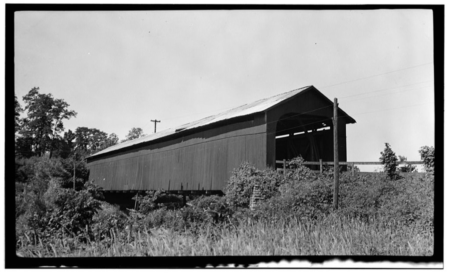
1 photograph,Taken for the Office of War Information and the Farm Security Administration, who photographed the country between 1935 and 1944. Works of United States government photographers, with no known restriction on use. Each opens its catalogue record.
Unattributed, . Library of Congress
Specimens collected near this place
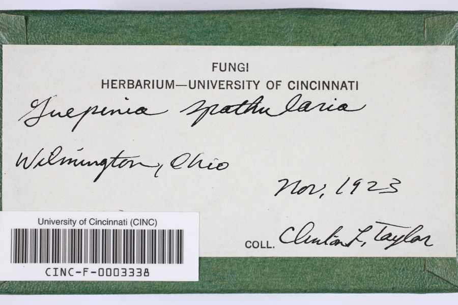
12 of 492 shownRegional context, not property-specific evidence. Museums hold 492 specimens collected within 10 miles of Clarksville between 1906 and 1974: 416 Animalia, 55 Fungi, 18 Plantae, 3 Unrecorded. 12 distinct Species records are shown. Collected by A. R. Gaufin, A.R. Gaufin, H.H. Ross, Allen, A. (Avery) and others. Each is a physical object with a catalogue number, and each entry opens the museum's record. This is what was collected and kept, not a survey of what lives here - nothing can be concluded from a species being absent.
| Image | Species | Year | Collected by | Where, as recorded |
|---|---|---|---|---|
 | Guepinia spathularia (Schwein.) Fr. | 1923 | Taylor, C.L. | Wilmington |
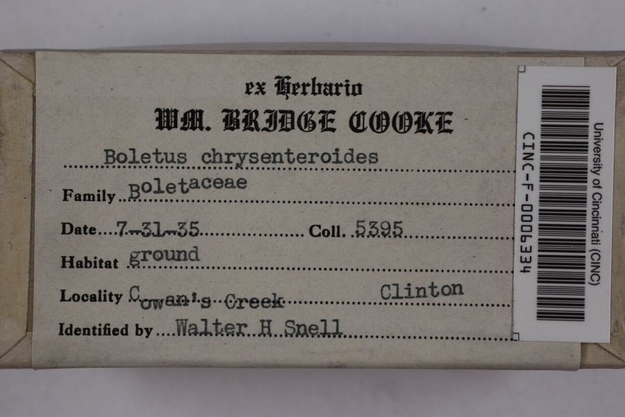 | Boletellus chrysenteroides (Snell) Snell | 1935 | Cooke, William Bridge | Cowan's Creek |
 | Boletus bicolor Raddi | 1935 | Cooke, William Bridge | Cowan's Creek |
_BHL4428192.jpg) | Cicada sayi Smith & Grossbeck, 1907 | 1906 | W. Templin | Blanchester |
 | Ditrichum pallidum (Hedw.) Hampe | 1913 | Braun, E. Lucy | |
 | Claviceps purpurea (Fr.) Tul. | 1919 | Lewis H. L. | Wilmington |
 | Corydalus cornutus (Linnaeus, 1758) | 1920 | E. C. Stinson | Harveysburg |
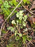 | Cladonia fimbriata (L.) Fr. | 1923 | Taylor, C.J. | Wilmington |
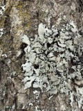 | Parmelia Acharius, 1803 | 1924 | Taylor, L. | Wilmington |
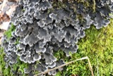 | Peltigera praetextata (Flörke ex Sommerf.) Zopf | 1924 | Taylor, C.L. | Wilmington |
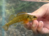 | Etheostoma variatum Kirtland, 1840 | 1926 | Wickliff, E. L. (Edward L.) | Todd Fork, near present day US 68 estimated based off Fishes of Ohio map |
 | Mustela frenata Lichtenstein, 1831 | 1927 | Hazard, F. O. | Reesville, Clinton Co., Ohio, USA |
All 492 specimens within 10 miles, at the Global Biodiversity Information Facility.
Storms near this place
28 since 1994Regional context, not property-specific evidence. The National Weather Service names Clarksville in 28 storm reports between 1994 and 2025: 17 thunderstorm wind, 5 hail, 3 tornado, 2 flood. The reports record 1 injury. Each account below is quoted exactly as the forecast office filed it, from the NOAA Storm Events Database, and each date opens the federal record of that event.
| When | Event | Place named | Harm | What the report says |
|---|---|---|---|---|
| June 1994 | Thunderstorm Wind | Clarksville | 1 hurt, $50,000 | Numerous trees downed, some on homes and vehicles. A metal storage shed was blown from its foundation and found suspended in a tree. A local resident was injured in a traffic accident during the storm from falling debris striking the car. |
| April 1999 | Thunderstorm Wind | Clarksville | $1,000,000 | The same storm that produced tornadoes to the southwest of the county moved to the Pansy road area southwest of Clarksville. Three homes and a business were destroyed by the storm and 20 other properties were damaged. |
| March 2012 | Tornado (EF0) | Clarksville | $50,000 | The weak tornado touched down and produced a concentrated path of minor damage along 2nd street in the village of Clarksville. Numerous structures along 2nd street received very minor damage, including windows broken and roofing materials lifted and strewn downstream. In addition, fences and play sets were blown over, and trees were snapped or uprooted. Most of the damage occurred to roofs and tree tops, suggesting that this tornado was only weakly in contact with the ground. Based on the damage surveyed, the maximum wind speed of this tornado was estimated at 70 miles per hour. |
| April 2011 | Thunderstorm Wind | Clarksville | $30,000 | A roof was removed from a brick building and was blown thirty feet away due to damaging thunderstorm winds. A metal roof was partially pulled off of a barn and a garage door was forced inward due to the winds. In addition, siding was peeled off of a barn. |
| July 1997 | Thunderstorm Wind | Clarksville | $25,000 | A barn roof was damaged and several trees and limbs were downed. |
| July 1998 | Thunderstorm Wind | Clarksville | $20,000 | Numerous trees downed, some of which fell across Lebanon Road. |
| November 2020 | Thunderstorm Wind | Clarksville | $15,000 | Numerous trees were downed throughout the county. |
| August 2006 | Thunderstorm Wind | Clarksville | $15,000 | Several trees were downed near Cowan Lake, and large limbs were knocked down along State Route 730. Additional damage occurred to a few headstones at the Clarksville Cemetery. |
| July 2006 | Tornado (F0) | Clarksville | $10,000 | A tornado intermittently touched down over a five mile long path in western Clinton County. Brief touchdowns took place near the intersection of US Route 22 and George Road, along US Route 22 a few miles west of Wilmington, the intersection of Hale and Nelson Roads, and the intersection of US Route 68 and Center Road. Two billboards and several large trees were knocked over along US Route 22, with some minor structural damage to a home. |
| May 2025 | Thunderstorm Wind | Clarksville | $4,000 | Multiple trees were downed. |
| July 2020 | Thunderstorm Wind | Clarksville | $3,000 | A few trees were downed in the Clarksville area, including on South 2nd Street and along U.S. Route 22/3. |
| July 2020 | Thunderstorm Wind | Clarksville | $3,000 | Several trees were downed in the Clarksville area. |
| June 2024 | Thunderstorm Wind | Clarksville | $2,000 | Multiple tree limbs around eight inches in diameter were downed. In addition, a tree was downed. |
| March 2022 | Tornado (EF0) | Clarksville | $2,000 | The tornado initially touched down along Todd's Fork Creek south of Highway 350 in Warren County at 1442 EST. The tornado crossed into Clinton County at Springhill Road and quickly lifted in a wooded area on the east side of Springhill Road where some minor tree damage occurred. |
| July 2007 | Thunderstorm Wind | Clarksville | $2,000 | Large tree limbs were downed along US Route 22 near the Warren County line. |
| April 2007 | Thunderstorm Wind | Clarksville | $2,000 | A few large tree limbs and branches were downed near Cowan Lake State Park. |
| August 2006 | Flash Flood | Clarksville | $2,000 | Several roads in and around Clarksville, including State Routes 350 and 730, had up to one foot of water in spots. |
| August 2006 | Flood | Clarksville | $2,000 | High water lingered on several roads in Clarksville. |
| June 2021 | Thunderstorm Wind | Clarksville | $1,000 | Numerous large limbs were downed along State Route 132. |
| August 2017 | Thunderstorm Wind | Clarksville | $1,000 | A tree and several large limbs were knocked down on the north side of highway U.S. 22/ Ohio 3. |
| July 2012 | Thunderstorm Wind | Clarksville | $1,000 | One tree was blown down on Baker Road due to damaging thunderstorm winds. |
| April 2011 | Thunderstorm Wind | Clarksville | $1,000 | A large tree was down in the road due to damaging thunderstorm winds. |
| June 2018 | Flood | Clarksville | - | High water was reported along a portion of Creek Road. |
| June 2009 | Hail | Clarksville | - | Nickel size hail fell and large limbs were blown down from northeast of Clarksville to Wilmington. |
| March 2017 | Hail | Clarksville | - | no account filed |
| March 2011 | Hail | Clarksville | - | no account filed |
| June 2009 | Hail | Clarksville | - | no account filed |
| May 2000 | Hail | Clarksville | - | no account filed |
Nearest settlements
The eight closest, with where each one stands in the county. Distances are straight-line, computed from the Geographic Names Information System coordinates.
| Map | Place | Distance | Sheets |
|---|---|---|---|
| Vandervorts Corners | 3.0 miles | 13 | |
| Ogden | 4.2 miles | 13 | |
| Sligo | 4.3 miles | 13 | |
| Pansy | 4.3 miles | 14 | |
| Oakland | 6.7 miles | 13 | |
| Cuba | 6.8 miles | 11 | |
| Kingman | 7.2 miles | 15 | |
| Town And Country Estates | 7.5 miles | 14 |
Elsewhere
Matched on this settlement's Geographic Names Information System number rather than its name, so it cannot be a different place of the same name in another state.
| Wikipedia article on Clarksville | An encyclopaedic summary. Its text is share-alike, so it is linked here rather than copied. |
| Wikidata item Q2668835 | The structured record the population and elevation above come from. Public domain (CC0). |
Provenance
This settlement is recorded in the Geographic Names Information System as feature 1056810. The sheet list is computed by point-in-boundary test against the United States Geological Survey's historical topographic inventory. Both are works of the United States government and carry no copyright under 17 U.S.C. 105.
Specimens. Global Biodiversity Information Facility (GBIF), https://www.gbif.org/. Only records licensed CC0 or CC BY are used. Records licensed CC BY-NC are excluded because this site carries advertising. Images are checked individually and any whose licence is non-commercial, no-derivatives or unreadable is refused.
Storms. NOAA National Centers for Environmental Information, Storm Events Database https://www.ncei.noaa.gov/stormevents/ A work of the United States government, no copyright under 17 U.S.C. 105. Narratives are quoted verbatim from the National Weather Service report and are not edited or summarised.