 Block
Block
Payson Park, Massachusetts
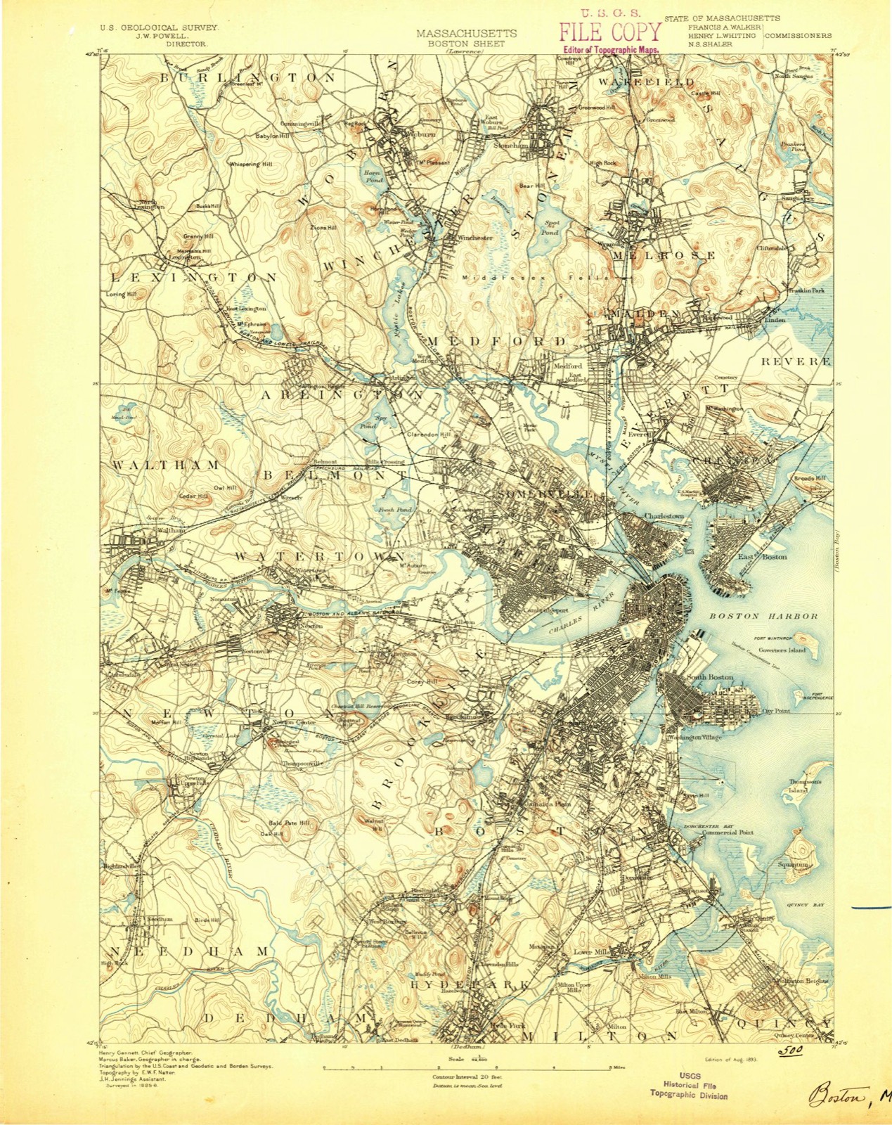
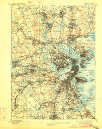
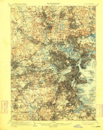
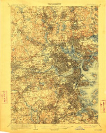
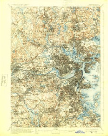
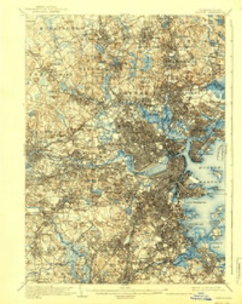
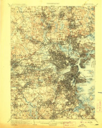
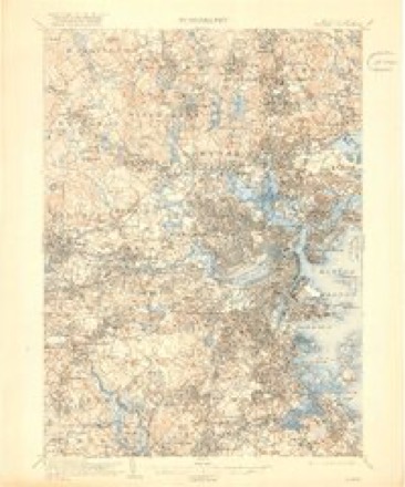
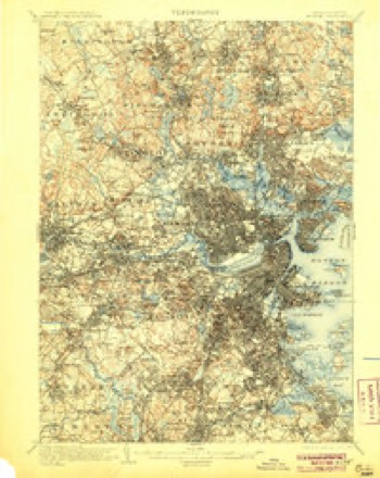
46 topographic sheets cover this place, the earliest surveyed in 1893 and the latest in 1989. It stands in Belmont town. It lies in ZIP code area 02478. It stands on Meetinghouse Hill. The Survey maps it on the Lexington quadrangle.
Then and now
1893 to 1989The same ground, surveyed 96 years apart. Drag the handle to wipe between them. Both sheets are United States Geological Survey originals; neither has been altered.

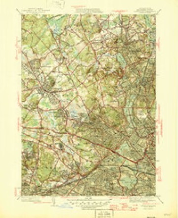
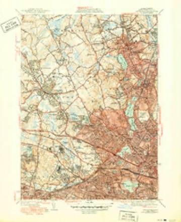
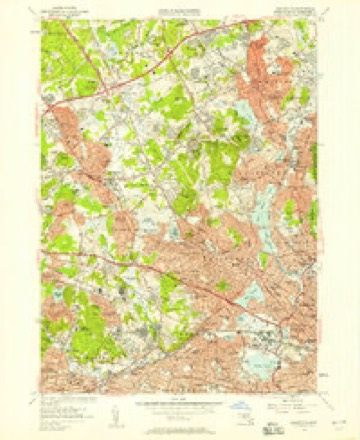
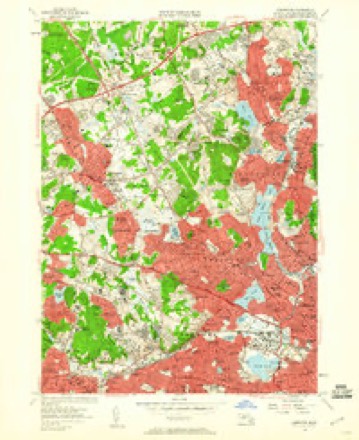
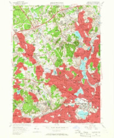
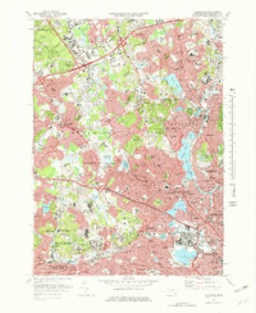
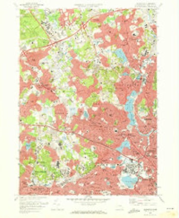
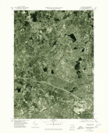
Topographic sheets covering this place
46 sheetsMatched by testing this settlement's coordinate against the published boundary of every sheet in the United States Geological Survey's historical collection. Each opens the scanned sheet at the Survey.
- 1893 USGS Boston quadrangle1:62500
- 1893 USGS Boston quadrangle1:62500
- 1893 USGS Boston quadrangle1:62500
- 1893 USGS Boston quadrangle1:62500
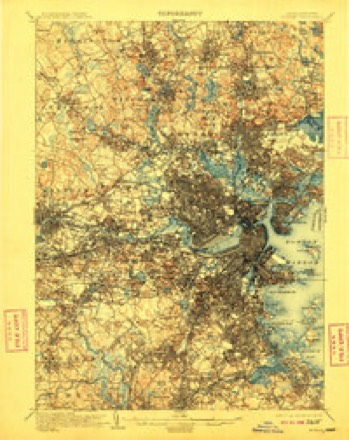
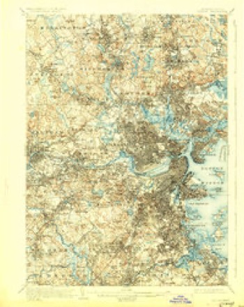
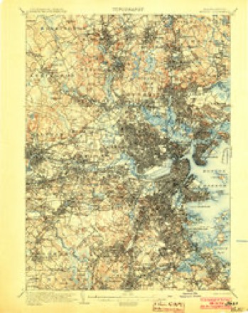
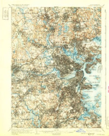
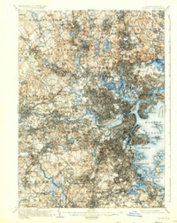
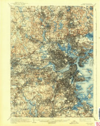
- 1903 USGS Boston quadrangle1:62500
- 1903 USGS Boston quadrangle1:62500
- 1903 USGS Boston quadrangle1:62500
- 1903 USGS Boston quadrangle1:62500
- 1903 USGS Boston quadrangle1:62500
- 1903 USGS Boston quadrangle1:62500
- 1903 USGS Boston quadrangle1:62500
- 1903 USGS Boston quadrangle1:62500
- 1903 USGS Boston quadrangle1:62500
- 1903 USGS Boston quadrangle1:62500
- 1903 USGS Boston quadrangle1:62500
- 1903 USGS Boston quadrangle1:62500
- 1903 USGS Boston quadrangle1:62500
- 1943 USGS Boston quadrangle1:125000
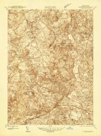
- 1944 USGS Lexington quadrangle1:24000
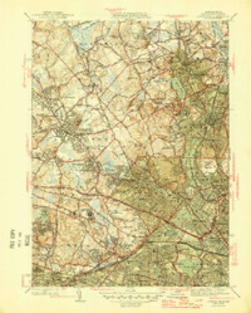
- 1946 USGS Lexington quadrangle1:31680
- 1946 USGS Lexington quadrangle1:31680
- 1946 USGS Lexington quadrangle1:31680
- 1948 USGS Boston quadrangle1:250000
- 1948 USGS Boston quadrangle1:250000
- 1956 USGS Boston quadrangle1:250000
- 1956 USGS Boston quadrangle1:250000
- 1956 USGS Boston quadrangle1:250000
- 1956 USGS Boston quadrangle1:250000
- 1956 USGS Boston quadrangle1:250000
- 1956 USGS Boston quadrangle1:250000
- 1956 USGS Lexington quadrangle1:24000
- 1956 USGS Lexington quadrangle1:24000
- 1956 USGS Lexington quadrangle1:24000
- 1958 USGS Boston quadrangle1:250000
- 1958 USGS Boston quadrangle1:250000
- 1961 USGS Boston quadrangle1:250000
- 1961 USGS Boston quadrangle1:250000
- 1971 USGS Lexington quadrangle1:25000
- 1971 USGS Lexington quadrangle1:24000
- 1977 USGS Lexington quadrangle1:25000
- 1985 USGS Boston quadrangle1:100000
- 1985 USGS Boston North quadrangle1:25000
- 1985 USGS Boston North quadrangle1:25000
- 1985 USGS Boston North quadrangle1:25000
- 1989 USGS Boston quadrangle1:100000
- 1989 USGS Boston quadrangle1:100000
















In the county-history sources
15,115 words on this townshipHistory of Middlesex County, Massachusetts, with Biographical Sketches of Many of Its Pioneers and Prominent Men, published 1890 names this settlement in its chapter on Belmont Town. These are the passages that mention it, exactly as the scans read.
Following the usual course of places convenient to our large cities, and possessing marked natural attractions, the population of the town is becoming " residential." An increasing proportion of the inhabitants have no direct interest in the soil, except as it furnishes an agreeable and healthful location for the homes which are taking possession of the hillsides and confining the husbandmen to even narrower limits. In 1881 the Massachusetts Central Railroad was constructed and opened to travel as far as Hudson, twenty- nine miles from Boston. The original laying-out of this road in Belmont was south of its present road-bed, and crossing the Fitchburg Railroad by an overhead bridge near Hill's Crossing. On account of the large number of grade-crossings made necessary by this route, it was opposed by many citizens. The road was finally located parallel and adjacent to the Fitchburg road upon its north side from Hill's Crossing to Clematis Station, in Waltham. Failing to pay its expenses, the road experienced financial diflBculties and a change of name, and now, as the Central Massachusetts Railroad, is leased and operated by the Boston and Maine Railroad, as a part of its southern division, and over it trains are sent out to the west and south, by way of the bridge across the Hudson River at Poughkeepsie. Together, the two roads give good accommodation to travel and at reasonable rates. Few towns can boast of finer views than are to be had from the slopes of the swelling hills that emborder the villages of Belmont. It merits its name, which was derived from the residence of John P. Gushing, later known as the Payson estate, upon the street separating Belmont from Watertown. This street was formerly known as the Back Road, but after Mr. Cashing called his estate Belmont, the name was given to the street, and later it was considered the most appropriate that could be chosen for the new town. Until invaded by the Payson Park Land Co., in 1886, the hundred acres or more surrounding the mansion-house furnished the best example of an American residence upon English models to be found in this part of the country. John P. Cushing, who had in early life amassed a fortune in China, returned to the United States and acquired from different owners the land upon which, about the year 1830, he erected his mansion-house at a cost of more than $115,000. At the left and in front of the house was the undulating lawn containing thirty acres, and surrounded by trees, the main driveway at its side being shaded by long, irregular rows of lofty elms. Behind the house was the great flower garden, flanked by high walls and green-houses, with a grand conservatory at the rear. Alone the east side of the vegetable garden, which lay behind the conservatory, past the great deer park, a winding walk among the trees led to a rustic summer-house upon the highland anciently called Pequossette Hill, from which a varied and extended view of Boston and its suburbs was revealed to the observer. Broad and fertile fields extended to the westward. Mr. Cushing's later years were marked by active participation in public affairs and by generous, unpretentious charities. He expended large sums to beautify the grounds, which were liberally thrown open to the public. After his death, which occurred April 12, 1862, the estate came into the possession of Samuel R. Payson, who occupied it for a quarter of a century. He continued the policy which had marked its management while Mr. Cushing was its owner, and when it was purchased by the trustees of the Land Company it was estimated that more than half a million dollars had been expended to adorn a spot already made beautiful by nature.
Passage source: History of Middlesex County, Massachusetts, with Biographical Sketches of Many of Its Pioneers and Prominent Men, published 1890.
Passing along Common Street, .and leaving the little Catholic Church of St. Joseph's on the left, we reach the Winthrop W. Chenery estate, now the property of W. L. Lockhart. So gradual is the ascent to the top of the hill above that with a sense of surprise we look back at the view which includes the spires of Arlington and Medford. A few steps farther and we gaze to the westward upon the village of Waverley, lying almost at our feet, with the hills of Waltham forming a background. Continuing upon Common Street we may come again to the Payson Park i but Washington Street - one of the oldest streets in the town - anciently called Hill Street, from Pequossette Hill, near whose summit it passes, turns here to the east. Descending its slope toward the valley of Fresh Pond, past the homes of the Stone family, we enter School Street, on the right. At the very foot of Pequossette Hill is the Hittinger residence, where Jacob Hittinger lived at the time when, for five successive years, he headed the list of those who sought for recognition as an independent town. From the green-houses which his sous have erected on this farm 14,000 cucumbers have been sent to the Boston market in a single day. Trespassing, by courteous permission, upon the private way leading through the farm to Grove Street, we stand upon the confines of the town and look upon the little village of the dead, set apart thirty years ago for the final resting-place of those who, one by one, would cease to be reckoned among the world's living, as they went forward to a longer and better life among the great majority. Until 1880 the larger part of the village of Mount Auburn, located on (the modern) Strawberry Hill, between Belmont and Mount Auburn Cemeteries, belonged to the town of Belmont. In April of that year, after a prolonged hearing before a legislative committee, all this territory, with other land adjacent to Fresh Pond, comprising in all 570 acres, was annexed to the city of Cambridge. The city had for several years endeavored to secure control of the entire shore of the pond for the purpose of maintaining, under her own regulations, the purity of her water supply. Defeated in successive Legislatures, her efforts at this lime were successful, and in spite of the unanimous protest of the townspeople, Belmont lost one-tenth of its taxable property, one-third of its school-children and one-sixth of its area, being left with a territory of about 3075 acres. On the new boundary line between Belmont and Cambridge, not far from the old Bird tavern, on Belmont Street, is a singular depression, called the Amphitheatre upon the maps which Professor Hosford has prepared in illustrating his theory of the location of the ancient city of Norumbega, only a few miles away.
Passage source: History of Middlesex County, Massachusetts, with Biographical Sketches of Many of Its Pioneers and Prominent Men, published 1890.
Machine-read from a century-old scan, so expect the errors a machine makes: misspelled names, dropped words, stray characters.
Fires near this place
56 since 2015Regional context, not property-specific evidence. The federal wildfire occurrence database lists 56 fires within 5 miles of Payson Park between 2015 and 2020, burning about 106 acres in total. None started naturally. 24 were recorded as arson. Distance is straight-line from the map coordinates, so a fire counted here may appear on a neighbouring settlement's page as well.
| Reported cause | Fires |
|---|---|
| Arson/incendiarism | 24 |
| Missing data/not specified/undetermined | 14 |
| Recreation and ceremony | 6 |
| Debris and open burning | 6 |
| Smoking | 3 |
| Misuse of fire by a minor | 2 |
| Equipment and vehicle use | 1 |
The most recent of them, most recent first, with the day each was reported and the service that recorded it.
| Date | Cause | Size | Reported by | Name on the report |
|---|---|---|---|---|
| 8 September 2020 | Missing data/not specified/undetermined | under an acre | Massachusetts Bureau of Forest Fire Control | not named |
| 4 September 2018 | Missing data/not specified/undetermined | under an acre | Massachusetts Bureau of Forest Fire Control | not named |
| 3 September 2018 | Debris and open burning | under an acre | Massachusetts Bureau of Forest Fire Control | not named |
| 3 September 2018 | Missing data/not specified/undetermined | under an acre | Massachusetts Bureau of Forest Fire Control | not named |
| 2 September 2018 | Equipment and vehicle use | under an acre | Massachusetts Bureau of Forest Fire Control | BROOKLINE |
| 2 September 2017 | Recreation and ceremony | under an acre | Massachusetts Bureau of Forest Fire Control | QUINCY |
| 18 September 2016 | Arson/incendiarism | under an acre | Massachusetts Bureau of Forest Fire Control | MELROSE |
| 18 September 2015 | Arson/incendiarism | under an acre | Massachusetts Bureau of Forest Fire Control | MELROSE |
Settlements close enough to share some of these fires:
Specimens collected near this place
12 of 2,140 shownRegional context, not property-specific evidence. Museums hold 2,140 specimens collected within 10 miles of Payson Park between 1898 and 1975: 962 Animalia, 646 Plantae, 464 Fungi, 29 Protozoa, 17 Bacteria, 13 Chromista, 9 Unrecorded. 12 distinct Species records are shown. Collected by ?, A B Seymour, A B. Proper and others. Each is a physical object with a catalogue number, and each entry opens the museum's record. This is what was collected and kept, not a survey of what lives here - nothing can be concluded from a species being absent.
| Image | Species | Year | Collected by | Where, as recorded |
|---|---|---|---|---|
 | Corvus brachyrhynchos brachyrhynchos C.L.Brehm, 1822 | 1900 | not recorded | Wayland |
 | Trientalis borealis Raf. | 1900 | A. P. Chute | |
| Aglaospora profusa (Fr.) De Not. | 1898 | Collector unspecified | ||
 | Antennaria howellii subsp. canadensis (Greene) R.J.Bayer | 1898 | Williams, E.F. | |
 | Antennaria parlinii subsp. fallax (Greene) R.J.Bayer & Stebbins | 1898 | not recorded | |
 | Antennaria plantaginifolia (L.) Hook. | 1898 | not recorded | |
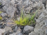 | Bulbostylis capillaris var. crebra Fernald | 1898 | C. H. Knowlton | Boston. |
 | Acanthis flammea flammea (Linnaeus, 1758) | 1900 | ZAPPEY, W R | ROSLINDALE |
 | Acer carpinifolium Siebold & Zucc. | 1900 | A. K. Harrison | Harvard Botanic Garden, Cambridge. |
 | Acer palmatum var. dissectum (Thunb.) Miq. | 1900 | A. K. Harrison | Harvard Botanic Garden, Cambridge. |
 | Agaricus brunnescens Peck | 1900 | Morris, G. E. | Waltham |
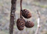 | Alnus incana subsp. rugosa (Du Roi) R.T.Clausen | 1900 | J. Murdoch, Jr. | Roxbury |
All 2,140 specimens within 10 miles, at the Global Biodiversity Information Facility.
Mines and quarries near this place
7 within 5 milesRegional context, not property-specific evidence. The federal mineral resources record lists 7 workings within 5 miles of Payson Park: 5 plants, 2 past producers. 5 still produce. What was taken out: Sand and Gravel, Construction, Iron, Lead, Tantalum. Distance is straight-line from the map coordinates, so a quarry counted here may appear on a neighbouring settlement's page as well.
| Where | Site | Commodity | Status | Recorded |
|---|---|---|---|---|
| Nrc Inc--Newton, Ma. | Tantalum, Niobium (Columbium) | Plant | ||
| (Facility) Cambridge Smelter Co | Lead | Plant | ||
| Burton Pit | Sand and Gravel, Construction | Past Producer | ||
| C. J. Mabardy | Sand and Gravel, Construction | Past Producer | ||
| Industrial Serv. Centers--Cambridge | Iron | Plant | ||
| Somerville Smelting Co. | Lead | Plant | ||
| Wheelock-Lovejoy--Cambridge, Ma. | Iron | Plant |
Nearest settlements
The eight closest, with where each one stands in the county. Distances are straight-line, computed from the Geographic Names Information System coordinates.
| Map | Place | Distance | Sheets |
|---|---|---|---|
| Strawberry Hill | 0.7 miles | 46 | |
| East Watertown | 0.7 miles | 46 | |
| Mount Auburn | 0.9 miles | 46 | |
| Watertown | 1.1 miles | 46 | |
| Waverley | 1.1 miles | 46 | |
| Larchwood | 1.2 miles | 46 | |
| Belmont | 1.3 miles | 46 | |
| Huron Village | 1.5 miles | 46 |
Provenance
This settlement is recorded in the Geographic Names Information System as feature 612224. The sheet list is computed by point-in-boundary test against the United States Geological Survey's historical topographic inventory. Both are works of the United States government and carry no copyright under 17 U.S.C. 105.
Wildfire. Short, Karen C. 2022. Spatial wildfire occurrence data for the United States, 1992-2020 [FPA_FOD_20221014]. 6th Edition. Fort Collins, CO: Forest Service Research Data Archive. https://doi.org/10.2737/RDS-2013-0009.6 Collected with United States Government funding and usable without additional permissions or fees.
Specimens. Global Biodiversity Information Facility (GBIF), https://www.gbif.org/. Only records licensed CC0 or CC BY are used. Records licensed CC BY-NC are excluded because this site carries advertising. Images are checked individually and any whose licence is non-commercial, no-derivatives or unreadable is refused.
Mines and quarries. USGS Mineral Resources Data System (MRDS) https://mrdata.usgs.gov/mrds/ A work of the United States government, no copyright under 17 U.S.C. 105.