 Block
Block
Selma, Ohio
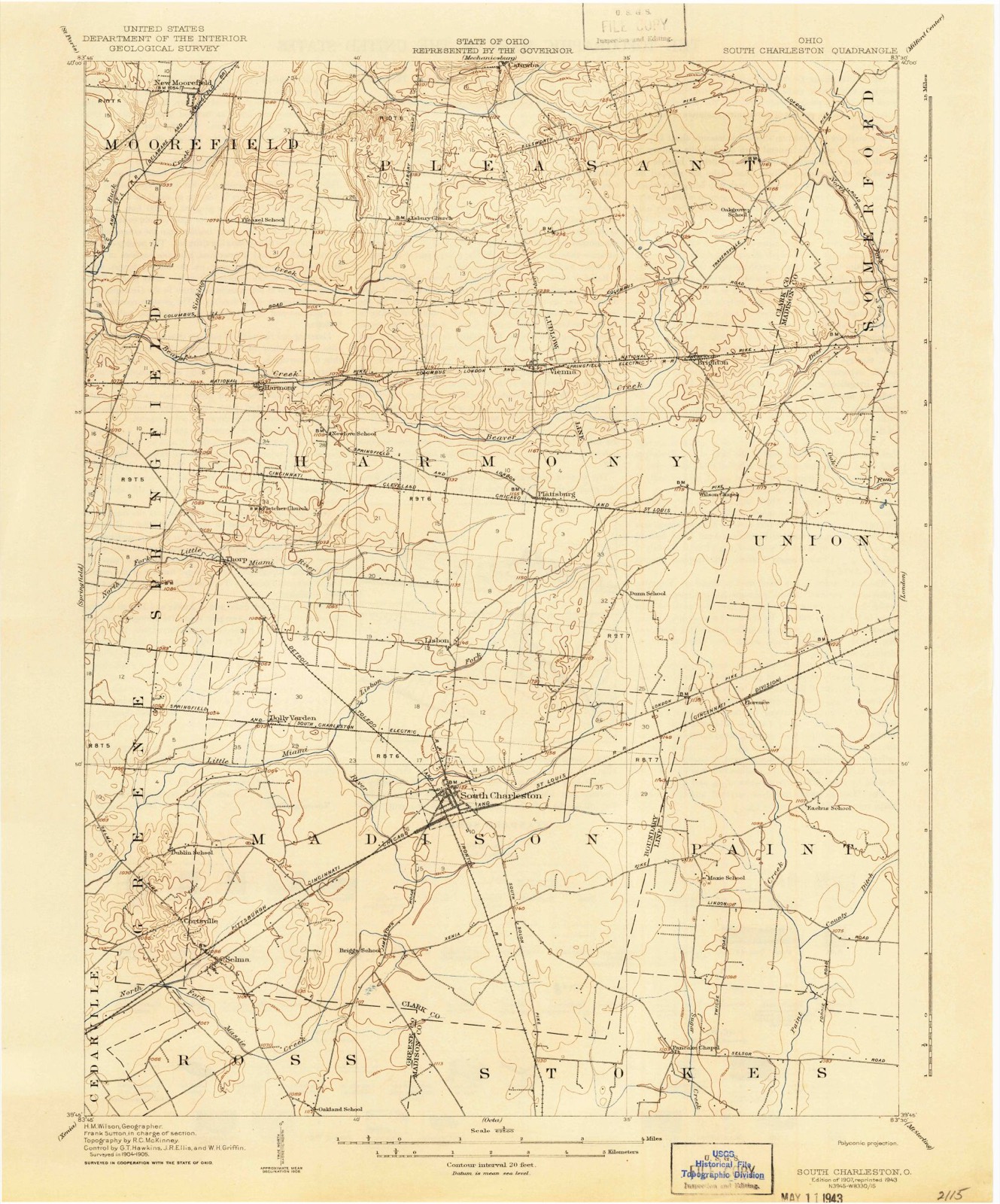
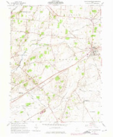
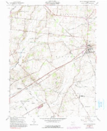
12 topographic sheets cover this place, the earliest surveyed in 1907 and the latest in 1986. It stands in Madison Township. It lies in ZIP code area 45368. The Survey maps it on the South Charleston quadrangle.
Then and now
1907 to 1986The same ground, surveyed 79 years apart. Drag the handle to wipe between them. Both sheets are United States Geological Survey originals; neither has been altered.

Topographic sheets covering this place
12 sheetsMatched by testing this settlement's coordinate against the published boundary of every sheet in the United States Geological Survey's historical collection. Each opens the scanned sheet at the Survey.
- 1907 USGS South Charleston quadrangle1:62500
- 1907 USGS South Charleston quadrangle1:62500
- 1947 USGS Columbus quadrangle1:250000
- 1961 USGS Columbus quadrangle1:250000
- 1961 USGS South Charleston quadrangle1:24000
- 1961 USGS South Charleston quadrangle1:24000
- 1961 USGS South Charleston quadrangle1:24000
- 1962 USGS Columbus quadrangle1:250000
- 1967 USGS Columbus quadrangle1:250000
- 1967 USGS Columbus quadrangle1:250000
- 1986 USGS Springfield quadrangle1:100000
- 1986 USGS Springfield quadrangle1:100000







What happened here
An account from the chapter on Madison township, The inset identifies its exact source book and publication year.
The Soldiers Of 1 86 1-05
Madison Township soldiers have a record of which her people may well lie proud. From that memorable day in April, 1861, when hostile traitor hands struck tlio old flag, and hostile batteries converged their murderous fires on Sumter, until the day of proud and lasting victory at Appomattox, the sons of Madison Township, with their lives and all they held dear, were at the service of the country and on the side of the Union.
In the county-history sources
79,197 words on this townshipThe History of Clark County, Ohio, Containing a History of the County; Its Cities, Towns, Etc.; General and Local Statistics; Portraits of Early Settlers and Prominent Men; History of the Northwest Territory; History of Ohio; Map of Clark County; Constitution of the United States, Miscellaneous Matters, Etc. .., published 1881 names this settlement in its chapter on Madison Township. These are the passages that mention it, exactly as the scans read.
George Buffenberger was a Virginian. He and family came to Ohio and settled in Madison Township as early as 1807, locating on the head- waters of the Little Miami. He owned a large tract of valuable land, raised a large family of children, and was characterized as the most eccentric nan of his generation. He possessed great wealth, yet was careless, and often shabby in his dress, and defied the ordinary customs of civilized life.
During his stay as Pastor, he completed the church, furnishing it with an altar, organ, pews and gallery; also bought house and lot, but, both being in his own name, were sold after he left South Charleston, which was in 1878, going to the Columbus Diocese, where he died in 1877, of consumption.
October, 1871, when the Rev. William Grennan assumed the charge. He was a native of Ireland: spent many years in Buenos Ayres. South America, and in Mav, 1877, lie left this mission; remained a short time in Cincinnati, finally, in IS , vi, returning to South Charleston by way of Ireland, whither he went on a visit.
Machine-read from a century-old scan, so expect the errors a machine makes: misspelled names, dropped words, stray characters.
Read the whole chapter on Madison Township - it names this place 18 more 18 times.
Specimens collected near this place
12 of 896 shownRegional context, not property-specific evidence. Museums hold 896 specimens collected within 10 miles of Selma between 1870 and 1975: 670 Animalia, 129 Plantae, 95 Fungi, 2 Unrecorded. 12 distinct Species records are shown. Collected by ?, A JOHN, A. M. Evans and others. Each is a physical object with a catalogue number, and each entry opens the museum's record. This is what was collected and kept, not a survey of what lives here - nothing can be concluded from a species being absent.
| Image | Species | Year | Collected by | Where, as recorded |
|---|---|---|---|---|
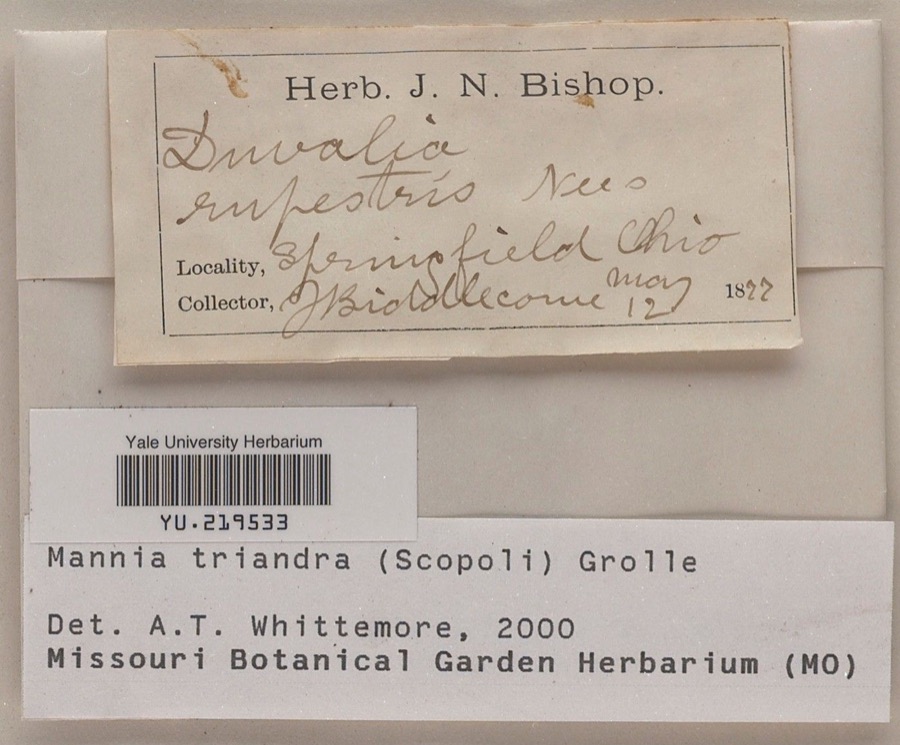 | Mannia triandra (Scop.) Grolle | 1877 | J. E. Biddlecome | |
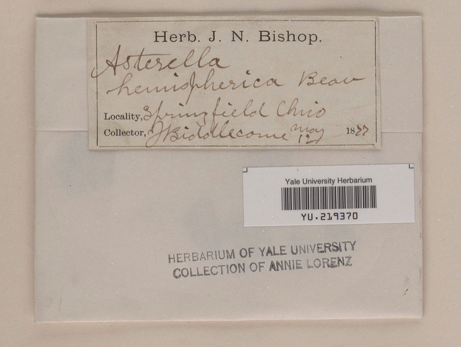 | Reboulia hemisphaerica (L.) Raddi | 1877 | J. E. Biddlecome | |
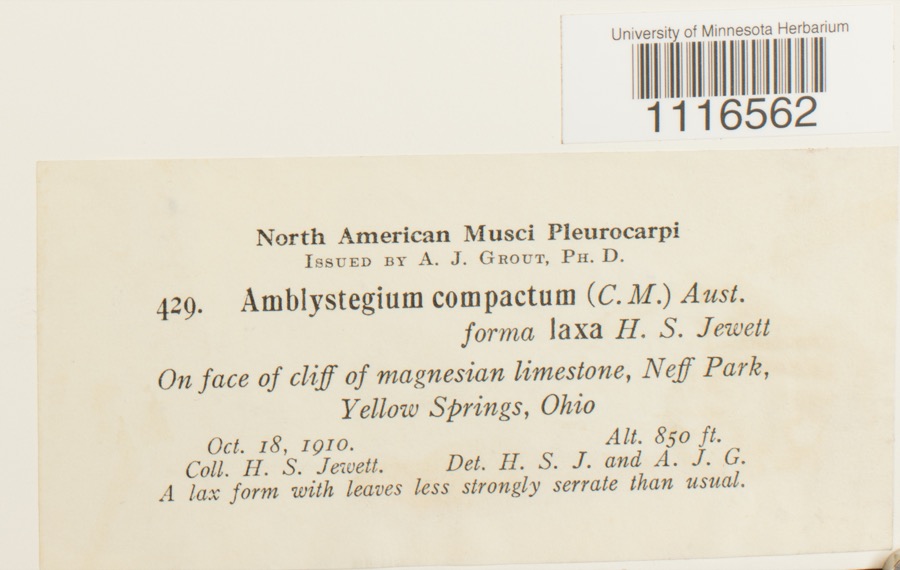 | Conardia compacta (Müll.Hal.) H.Rob. | 1910 | H.S. Jewett | Neff Park, Yellow Springs |
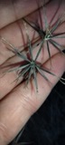 | Bidens bipinnata L. | 1870 | J Y Bergen; T L Bergen | Yellow Springs |
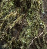 | Bryhnia graminicolor (Brid.) Grout | 1870 | J. W. Eckfeldt | near Springfield |
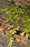 | Rhynchostegium serrulatum (Hedw.) A.Jaeger | 1873 | Collector unspecified | Clifton |
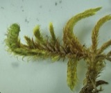 | Rhytidium rugosum (Hedw.) Kindb. | 1873 | not recorded | Clifton |
 | Thamnobryum alleghaniense (Müll.Hal.) Nieuwl. | 1875 | H. J. Biddlecome | Clifton |
| Brachythecium laetum (Brid.) Schimp. | 1876 | not recorded | Clifton | |
| Brachythecium oxycladon (Brid.) A.Jaeger | 1876 | Mrs. Spence | ||
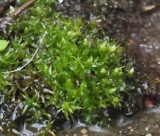 | Bryum affine (Blandow ex Funck) Brid. | 1876 | Collector unspecified | Clifton |
| Eurhynchium hians (Hedw.) Sande Lac. | 1876 | H. J. Biddlecome | Clifton |
All 896 specimens within 10 miles, at the Global Biodiversity Information Facility.
Storms near this place
3 since 1999Regional context, not property-specific evidence. The National Weather Service names Selma in 3 storm reports between 1999 and 2011: 2 thunderstorm wind, 1 tornado. No death or injury is recorded in these reports. Each account below is quoted exactly as the forecast office filed it, from the NOAA Storm Events Database, and each date opens the federal record of that event.
| When | Event | Place named | Harm | What the report says |
|---|---|---|---|---|
| May 1999 | Thunderstorm Wind | Selma | $5,000 | Trees were blown down across road. A truck was damaged by a falling tree. |
| May 2011 | Thunderstorm Wind | Selma | $3,000 | A tree was reported down on a house due to thunderstorm winds. |
| May 2008 | Tornado (EF0) | Selma | $1,000 | An EF-0 tornado briefly touched down near Selma. |
Nearest settlements
The eight closest, with where each one stands in the county. Distances are straight-line, computed from the Geographic Names Information System coordinates.
| Map | Place | Distance | Sheets |
|---|---|---|---|
| Cortsville | 0.9 miles | 12 | |
| Dolly Varden | 3.9 miles | 12 | |
| South Charleston | 4.7 miles | 12 | |
| Pitchin | 4.8 miles | 14 | |
| Clifton | 6.2 miles | 14 | |
| Lisbon | 6.4 miles | 12 | |
| Thorps | 6.4 miles | 14 | |
| Crabill Road Farms | 7.2 miles | 15 |
Provenance
This settlement is recorded in the Geographic Names Information System as feature 1065299. The sheet list is computed by point-in-boundary test against the United States Geological Survey's historical topographic inventory. Both are works of the United States government and carry no copyright under 17 U.S.C. 105.
Specimens. Global Biodiversity Information Facility (GBIF), https://www.gbif.org/. Only records licensed CC0 or CC BY are used. Records licensed CC BY-NC are excluded because this site carries advertising. Images are checked individually and any whose licence is non-commercial, no-derivatives or unreadable is refused.
Storms. NOAA National Centers for Environmental Information, Storm Events Database https://www.ncei.noaa.gov/stormevents/ A work of the United States government, no copyright under 17 U.S.C. 105. Narratives are quoted verbatim from the National Weather Service report and are not edited or summarised.