 Block
Block
Tallmadge, Ohio
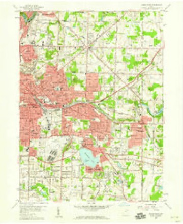
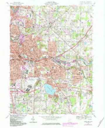
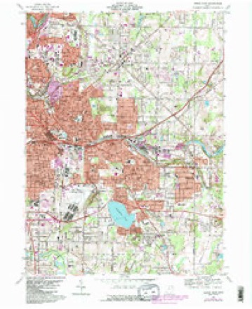
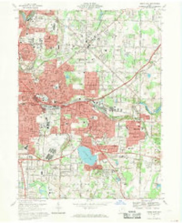
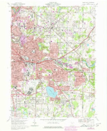
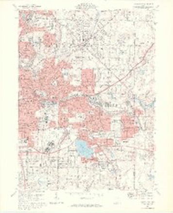
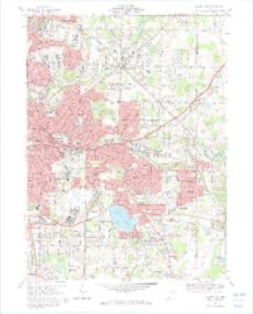
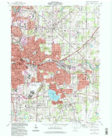
16 topographic sheets cover this place, the earliest surveyed in 1906 and the latest in 1994. It stands in Tallmadge City. It lies in ZIP code area 44278. The Survey maps it on the Akron East quadrangle. 18,394 people lived here at the 2020 count. It stands 1,115 feet above sea level.
Then and now
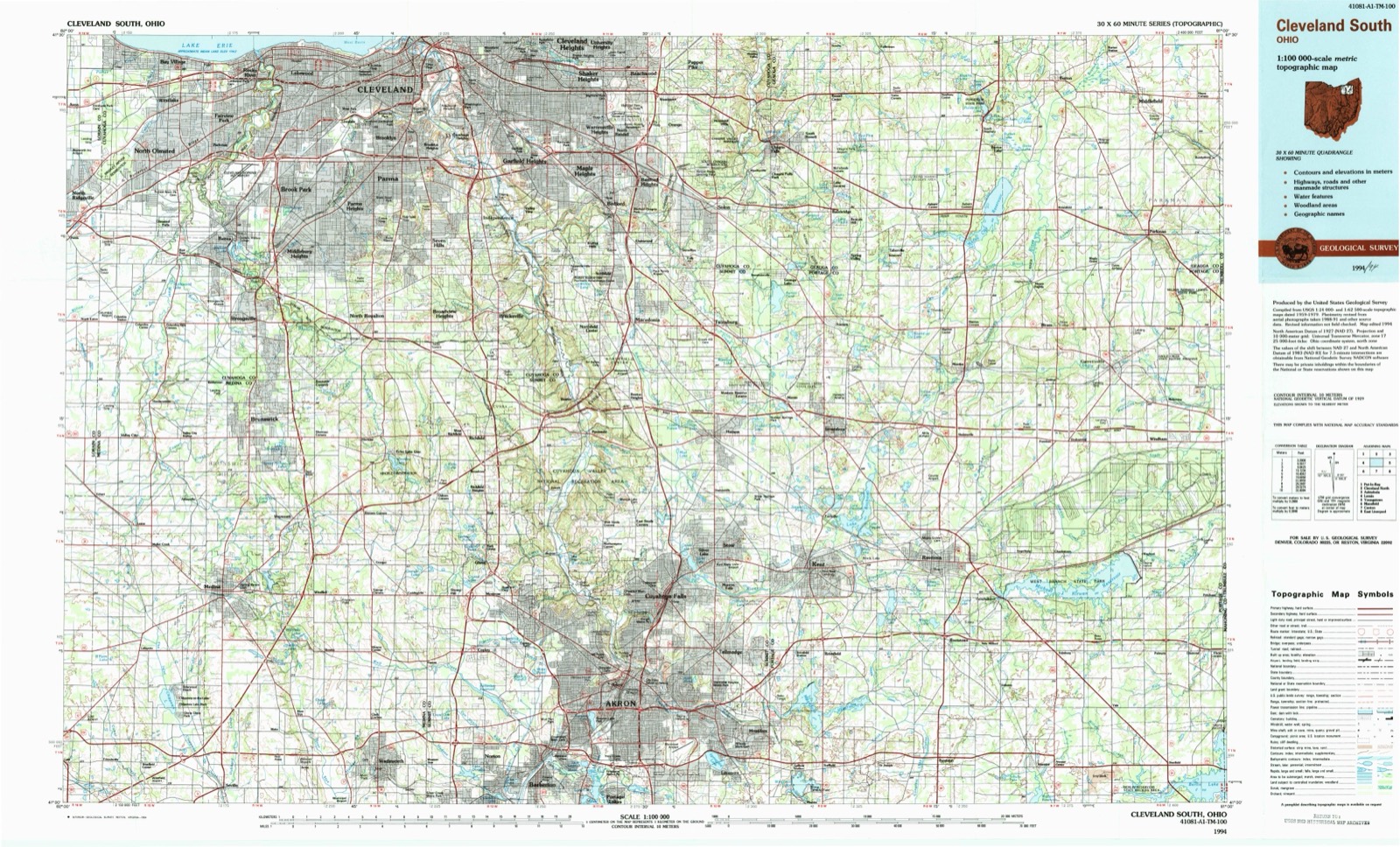
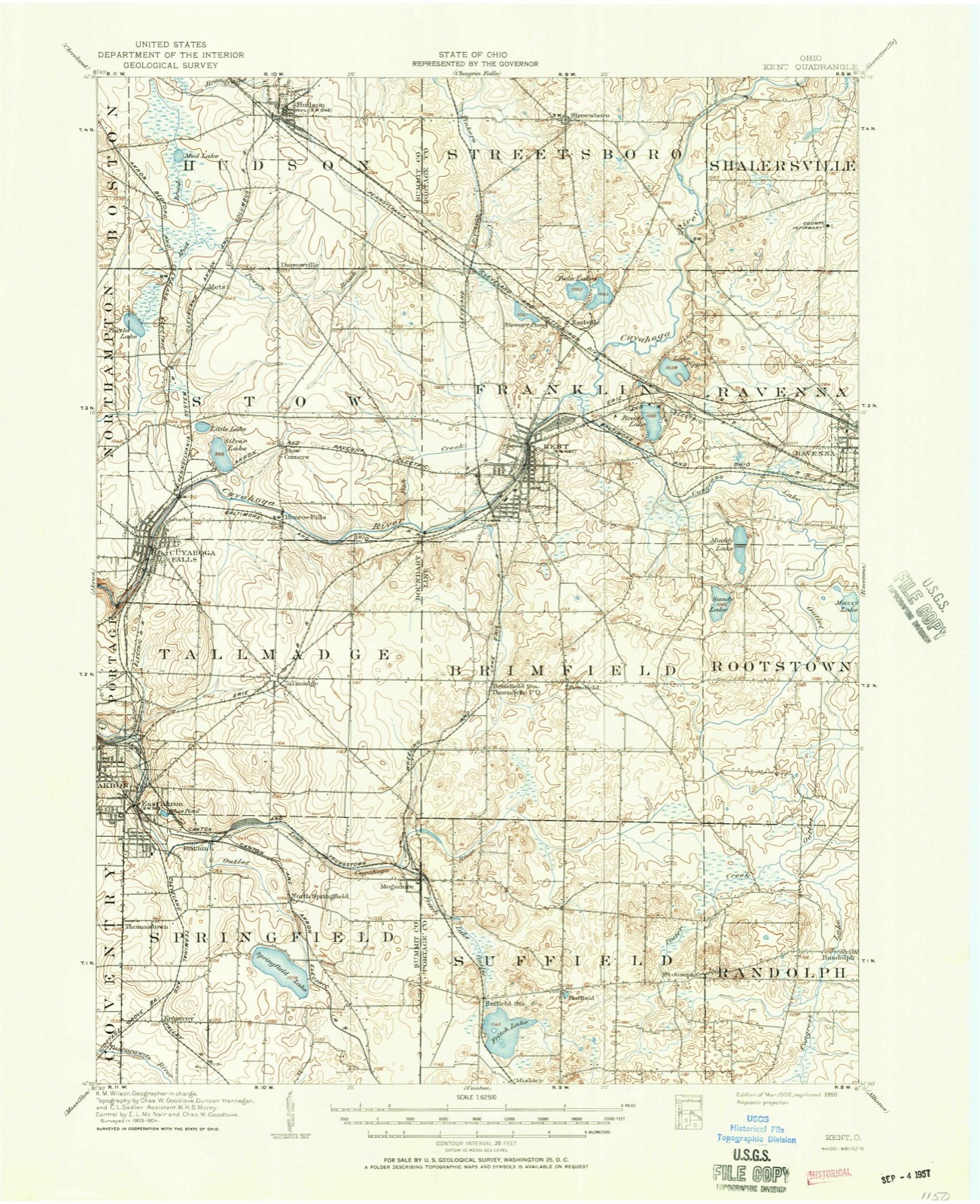
1906 to 1994The same ground, surveyed 88 years apart. Drag the handle to wipe between them. Both sheets are United States Geological Survey originals; neither has been altered.
Topographic sheets covering this place
16 sheetsMatched by testing this settlement's coordinate against the published boundary of every sheet in the United States Geological Survey's historical collection. Each opens the scanned sheet at the Survey.
- 1906 USGS Kent quadrangle1:62500
- 1906 USGS Kent quadrangle1:62500
- 1956 USGS Cleveland quadrangle1:250000
- 1956 USGS Cleveland quadrangle1:250000
- 1956 USGS Cleveland quadrangle1:250000
- 1958 USGS Akron East quadrangle1:24000
- 1962 USGS Cleveland quadrangle1:250000
- 1967 USGS Akron East quadrangle1:24000
- 1967 USGS Akron East quadrangle1:24000
- 1967 USGS Akron East quadrangle1:24000
- 1967 USGS Akron East quadrangle1:24000
- 1967 USGS Akron East quadrangle1:24000
- 1967 USGS Akron East quadrangle1:24000
- 1986 USGS Cleveland South quadrangle1:100000
- 1994 USGS Akron East quadrangle1:24000
- 1994 USGS Cleveland South quadrangle1:100000






What happened here
An account from the chapter on Tallmadge city, The inset identifies its exact source book and publication year.
And Repkesentative Citizens
6ye was fixed upon the murderer, and watched him eye to eye. The Indian found himself strangely diseoncert.ed. In vain did the old man talk to my father in angry and chiding tones - -that keen, black eye was watching the would-be assassin. The time seemed long. My mother took the baby (himself) from the birch-bark cradle, and was going to call for help, but when she reached the door, she dared not leave her husband.
In the county-history sources
3,337 words on this townshipCentennial History of Summit County, Ohio and Representative Citizens, published 1908 names this settlement in its chapter on Tallmadge City. These are the passages that mention it, exactly as the scans read.
His experiences in the wilderness and the difficulties he had to contend with in establishing his little colony are typical, and for that reason are here set forth in full according to the excellent narrative of his .son, Dr. Leonard Bacon, as published in Howe's Historical Collections (Ohio). It may readily be believed that the labors and dangers incident to the settlement of Tallmadge were no greater than those attending the settlement of the other townships of the county.
Passage source: Centennial History of Summit County, Ohio and Representative Citizens, published 1908.
Rev. David Bacon, the founder of Tallmadge, was born in Woodstock, Connecticut, in 1771, and died in Hartford in 1817 at the early age of forty-six years, worn out by excessive labors, privations and mental sufferings, largely consequent upon his financial failure with his colony. He was the first missionary sent to the Western Indians from Connecticut. His means were pitifully inadequate, but with a stout heart, reliant upon God, he .started, August 8, 1800, from Hartford, afoot and alone through the wilderness, with no outfit but what he could carry on his back. At Buffalo Creek, now the site of the city of Buffalo, he took vessel for Detroit, which he reached September 11, thirty-four days after leaving Hart-ford, and was hospitably received by Major Hunt, commandant of the United States garrison there. After a preliminaiy survey he returned to Connecticut, and on the 25th of December was married at Lebanon to Alice Parks, then under eighteen years of age ; a week later, on the last day of the la.st year of the last century, December 31, 1800, he was ordained regularly to the specific work of a missionarj' to the heathen, the first ever sent out from Connecticut.
Passage source: Centennial History of Summit County, Ohio and Representative Citizens, published 1908.
An ordinarv township, with its scattered settlements and roads at option, with no common central point, cannot well grow into a town. The unity of a town as a body politic depends very much on fixing a common center to which every homestead shall be obviously related. In no other rural town, perhaps, is that so well provided for as in Tallmadge. "Public spirit, local pride," writes Dr. Bacon, "friendly intercourse, general culture and good taste, and a certain moral and re- ligious steadfastness are among the characteristics by which Tallniadge is almost proverbially distinguished throughout the Reserve. No observing stranger can pass through the town without seeing that it was planned by a sagacious and far-seeing mind. "It was fit that he who had planned the settlement, and who had identified with it all his hopes for use-fuln&ss for the remainder of his life, and all his hopes of a competence for his family, should be the first settler in the township. He did not wait for hardier adventurers to encounter the first hardships and to break the loneliness of the woods. Selecting a temporary location near an old Indian trail, a few rods from the southern boundary of the township, he built the first log cabin, and there placed his family.
Passage source: Centennial History of Summit County, Ohio and Representative Citizens, published 1908.
Machine-read from a century-old scan, so expect the errors a machine makes: misspelled names, dropped words, stray characters.
Read the whole chapter on Tallmadge City - it names this place 4 more 4 times.
Fires near this place
1 since 2014Regional context, not property-specific evidence. The federal wildfire occurrence database lists 1 fire within 5 miles of Tallmadge between 2014 and 2014, burning about 0 acres in total. None started naturally. None was recorded as arson. Distance is straight-line from the map coordinates, so a fire counted here may appear on a neighbouring settlement's page as well.
| Reported cause | Fires |
|---|---|
| Missing data/not specified/undetermined | 1 |
The most recent of them, most recent first, with the day each was reported and the service that recorded it.
| Date | Cause | Size | Reported by | Name on the report |
|---|---|---|---|---|
| 27 April 2014 | Missing data/not specified/undetermined | under an acre | Cuyahoga Valley National Park | CANYON TRAIL |
Settlements close enough to share some of these fires:
Specimens collected near this place
12 of 724 shownRegional context, not property-specific evidence. Museums hold 724 specimens collected within 10 miles of Tallmadge between 1867 and 1975: 611 Animalia, 64 Plantae, 47 Fungi, 1 Unrecorded, 1 Bacteria. 12 distinct Species records are shown. Collected by (no collector listed), A. Black, A. W. Cusick and others. Each is a physical object with a catalogue number, and each entry opens the museum's record. This is what was collected and kept, not a survey of what lives here - nothing can be concluded from a species being absent.
| Image | Species | Year | Collected by | Where, as recorded |
|---|---|---|---|---|
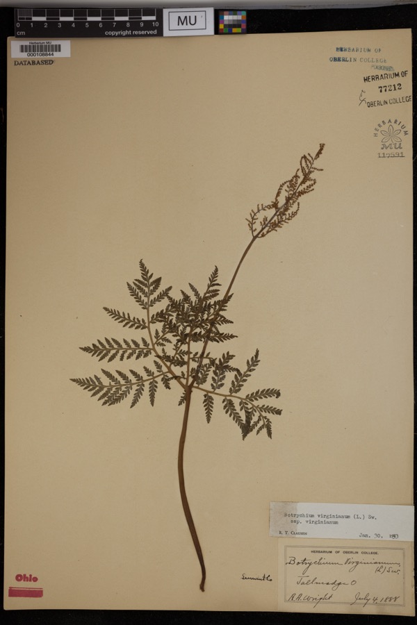 | Botrychium virginianum subsp. virginianum | 1888 | Wright, A.A. | Tallmadge. |
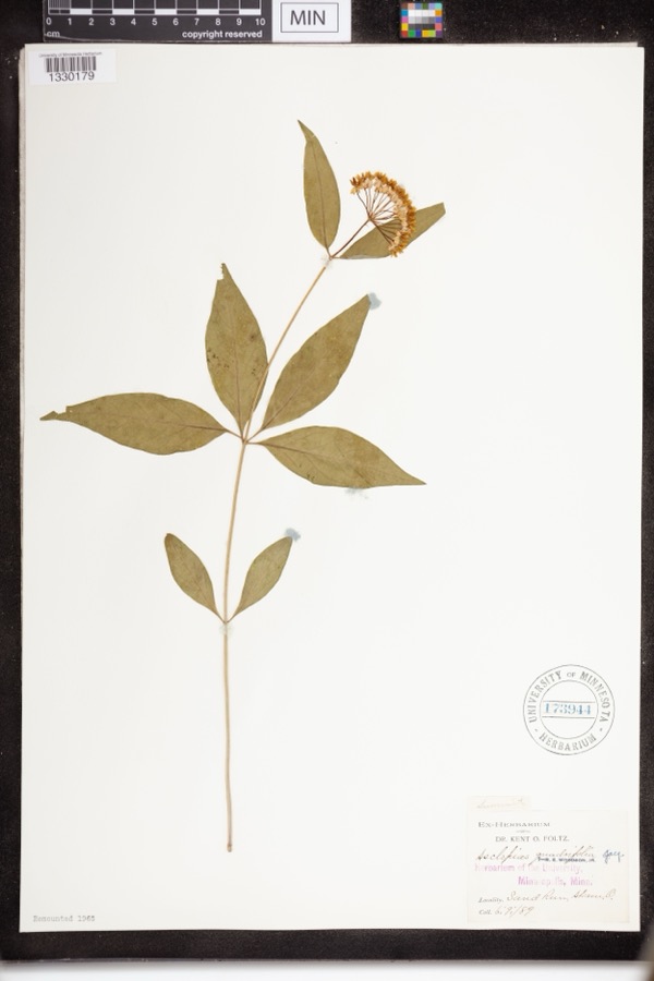 | Asclepias quadrifolia Jacq. | 1889 | Foltz, Kent O. | Sand Run Park; Akron |
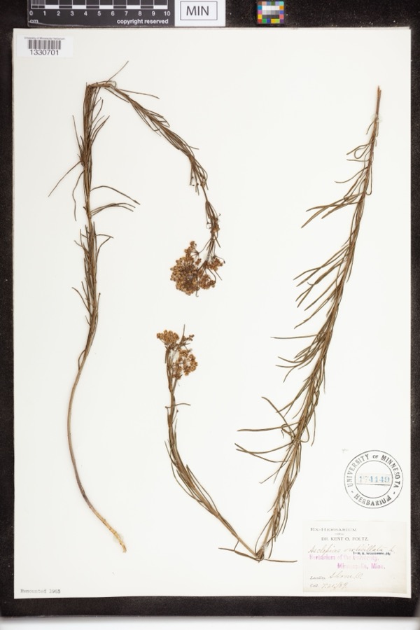 | Asclepias verticillata L. | 1889 | not recorded | Akron |
 | Accipiter striatus velox (A.Wilson, 1812) | 1867 | Collector(s): James Lee Peters | Akron |
 | Dryopteris carthusiana (Vill.) H.P.Fuchs | 1880 | F. O. Payne | Akron |
 | Buteo lineatus lineatus (Gmelin, 1788) | 1887 | B. Sanford | Hudson |
 | Hydrastis canadensis L. | 1888 | E.L. Sturtevant II | |
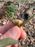 | Lonicera dioica L. | 1888 | K. O. Foltz | |
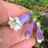 | Penstemon hirsutus (L.) Willd. | 1888 | K. O. Foltz | |
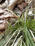 | Carex pensylvanica Lam. | 1889 | Foltz, K.O. | Akron |
 | Gymnosporangium juniperi-virginianae Schwein. | 1889 | Reade M. C. | Hudson |
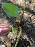 | Peltandra virginica (L.) Schott | 1889 | Foltz, Kent O. | Akron; Blue Pond |
All 724 specimens within 10 miles, at the Global Biodiversity Information Facility.
Mines and quarries near this place
8 within 5 milesRegional context, not property-specific evidence. The federal mineral resources record lists 8 workings within 5 miles of Tallmadge: 5 past producers, 3 producers. 3 still produce. What was taken out: Sand and Gravel, Construction. Distance is straight-line from the map coordinates, so a quarry counted here may appear on a neighbouring settlement's page as well.
| Where | Site | Commodity | Status | Recorded |
|---|---|---|---|---|
| Arlington Pit | Sand and Gravel, Construction | Past Producer | Sedimentary | |
| Herms Pit | Sand and Gravel, Construction | Past Producer | Sedimentary | |
| Herms Pit | Sand and Gravel, Construction | Past Producer | ||
| Lerkis Pit & Plant | Sand and Gravel, Construction | Producer | ||
| Plant Number 2 | Sand and Gravel, Construction | Past Producer | ||
| Riverside Pit | Sand and Gravel, Construction | Past Producer | Sedimentary | |
| Riverside Pit | Sand and Gravel, Construction | Producer | ||
| Twin Lakes Sand Arlington Pit | Sand and Gravel, Construction | Producer |
Storms near this place
28 since 1996Regional context, not property-specific evidence. The National Weather Service names Tallmadge in 28 storm reports between 1996 and 2026: 16 thunderstorm wind, 10 hail, 2 flash flood. No death or injury is recorded in these reports. Each account below is quoted exactly as the forecast office filed it, from the NOAA Storm Events Database, and each date opens the federal record of that event.
| When | Event | Place named | Harm | What the report says |
|---|---|---|---|---|
| July 2012 | Hail | Tallmadge | $5,000,000 | Quarter to tennis ball sized hail was reported. Hundreds of homes and vehicles were damaged by the hail. There were reports of hail found inside of homes after the exterior windows had broken. |
| July 2013 | Flash Flood | Tallmadge | $175,000 | Flash flooding was reported along Route 91 near Summit County fairgrounds. At least 2 cars swept off road into ditches. Water was up to roof of cars. The city received about 10 reports of basement floodings. |
| August 2019 | Thunderstorm Wind | Tallmadge | $50,000 | Several large trees were blown down on Eastwood Ave. There were at least two homes which had trees that fell on them. |
| June 2016 | Thunderstorm Wind | Tallmadge | $35,000 | Thunderstorm winds downed several trees and power lines. |
| August 2019 | Thunderstorm Wind | Tallmadge | $10,000 | A tree was blown down on a house on Ferguson road. |
| June 2016 | Thunderstorm Wind | Tallmadge | $10,000 | Thunderstorm winds downed a large tree on Eastwood Avenue. The fallen tree damaged a garage. |
| May 2015 | Thunderstorm Wind | Tallmadge | $10,000 | A trained spotter measured a 58 mph thunderstorm wind gust on Eastwood Avenue. Several large trees were reported downed in the area. |
| May 2004 | Thunderstorm Wind | Tallmadge | $10,000 | Thunderstorm winds downed several trees. |
| August 2003 | Thunderstorm Wind | Tallmadge | $10,000 | Thunderstorm winds blew a large tree down on top of a house. |
| July 2002 | Thunderstorm Wind | Tallmadge | $10,000 | Thunderstorm winds downed several large trees. |
| September 2012 | Thunderstorm Wind | Tallmadge | $6,000 | Thunderstorm winds downed at least ten large tree limbs and a flag pole. |
| July 2008 | Hail | Tallmadge | $5,000 | Quarter size hail was observed. |
| May 2002 | Thunderstorm Wind | Tallmadge | $5,000 | Thunderstorm winds downed two trees. |
| May 2002 | Hail | Tallmadge | $5,000 | Dime size hail was observed. |
| June 2025 | Thunderstorm Wind | Tallmadge | $4,500 | Numerous trees downed in Tallmadge. The downed trees damaged three vehicles. |
| April 2005 | Thunderstorm Wind | Tallmadge | $2,000 | Thunderstorm winds downed trees in Tallmadge and Copley. |
| March 2026 | Hail | Tallmadge | - | Hail up to nickel-size about one-mile east of Tallmadge. |
| July 2024 | Thunderstorm Wind | Tallmadge | - | Multiple tree limbs downed along and near Indian Hills Drive in Tallmadge. |
| July 2024 | Hail | Tallmadge | - | Hail up to penny-size about one-mile east of Tallmadge. |
| July 2024 | Thunderstorm Wind | Tallmadge | - | Six-inch diameter tree limbs downed about one-mile east of Tallmadge. |
| June 2024 | Hail | Tallmadge | - | Hail up to half dollar-size about two-miles southwest of Tallmadge. |
| August 2021 | Thunderstorm Wind | Tallmadge | - | Numerous trees and power lines downed in Tallmadge. |
| March 2020 | Hail | Tallmadge | - | Social media report and pictures of large hailstones that were approximately the size of billiard balls. Location about one mile northwest of downtown Tallmadge. |
| June 2020 | Thunderstorm Wind | Tallmadge | - | Multiple trees down in Tallmadge, including along Tallmadge Circle and just to the south along OH 91. Time estimated via radar. |
| July 2005 | Hail | Tallmadge | - | Penny size hail was observed. |
| August 2019 | Hail | Tallmadge | - | no account filed |
| May 1996 | Flash Flood | Tallmadge | - | no account filed |
| June 1996 | Hail | Tallmadge | - | no account filed |
Nearest settlements
The eight closest, with where each one stands in the county. Distances are straight-line, computed from the Geographic Names Information System coordinates.
| Map | Place | Distance | Sheets |
|---|---|---|---|
| Six Corners | 1.8 miles | 16 | |
| Goodyear Heights | 2.1 miles | 16 | |
| Bettes Corners | 2.5 miles | 16 | |
| Forest Hill | 2.7 miles | 16 | |
| Brittain | 2.8 miles | 16 | |
| Munroe Falls | 3.0 miles | 14 | |
| Arlington | 3.1 miles | 16 | |
| Cuyahoga Falls | 3.2 miles | 14 |
Elsewhere
Matched on this settlement's Geographic Names Information System number rather than its name, so it cannot be a different place of the same name in another state.
| Wikipedia article on Tallmadge | An encyclopaedic summary. Its text is share-alike, so it is linked here rather than copied. |
| Wikidata item Q1018302 | The structured record the population and elevation above come from. Public domain (CC0). |
Provenance
This settlement is recorded in the Geographic Names Information System as feature 1061671. The sheet list is computed by point-in-boundary test against the United States Geological Survey's historical topographic inventory. Both are works of the United States government and carry no copyright under 17 U.S.C. 105.
Wildfire. Short, Karen C. 2022. Spatial wildfire occurrence data for the United States, 1992-2020 [FPA_FOD_20221014]. 6th Edition. Fort Collins, CO: Forest Service Research Data Archive. https://doi.org/10.2737/RDS-2013-0009.6 Collected with United States Government funding and usable without additional permissions or fees.
Specimens. Global Biodiversity Information Facility (GBIF), https://www.gbif.org/. Only records licensed CC0 or CC BY are used. Records licensed CC BY-NC are excluded because this site carries advertising. Images are checked individually and any whose licence is non-commercial, no-derivatives or unreadable is refused.
Mines and quarries. USGS Mineral Resources Data System (MRDS) https://mrdata.usgs.gov/mrds/ A work of the United States government, no copyright under 17 U.S.C. 105.
Storms. NOAA National Centers for Environmental Information, Storm Events Database https://www.ncei.noaa.gov/stormevents/ A work of the United States government, no copyright under 17 U.S.C. 105. Narratives are quoted verbatim from the National Weather Service report and are not edited or summarised.