 Block
Tile, Ohio
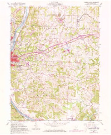
15 topographic sheets cover this place, the earliest surveyed in 1910 and the latest in 1994. It stands in Zanesville City. It lies in ZIP code area 43701. It stands on Mill Run. The Survey maps it on the Zanesville East quadrangle.
Then and now
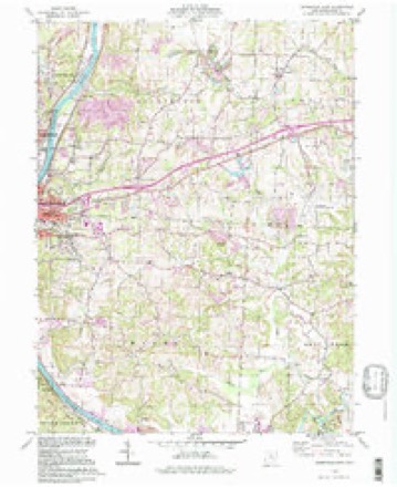
1910 to 1994The same ground, surveyed 84 years apart. Drag the handle to wipe between them. Both sheets are United States Geological Survey originals; neither has been altered.
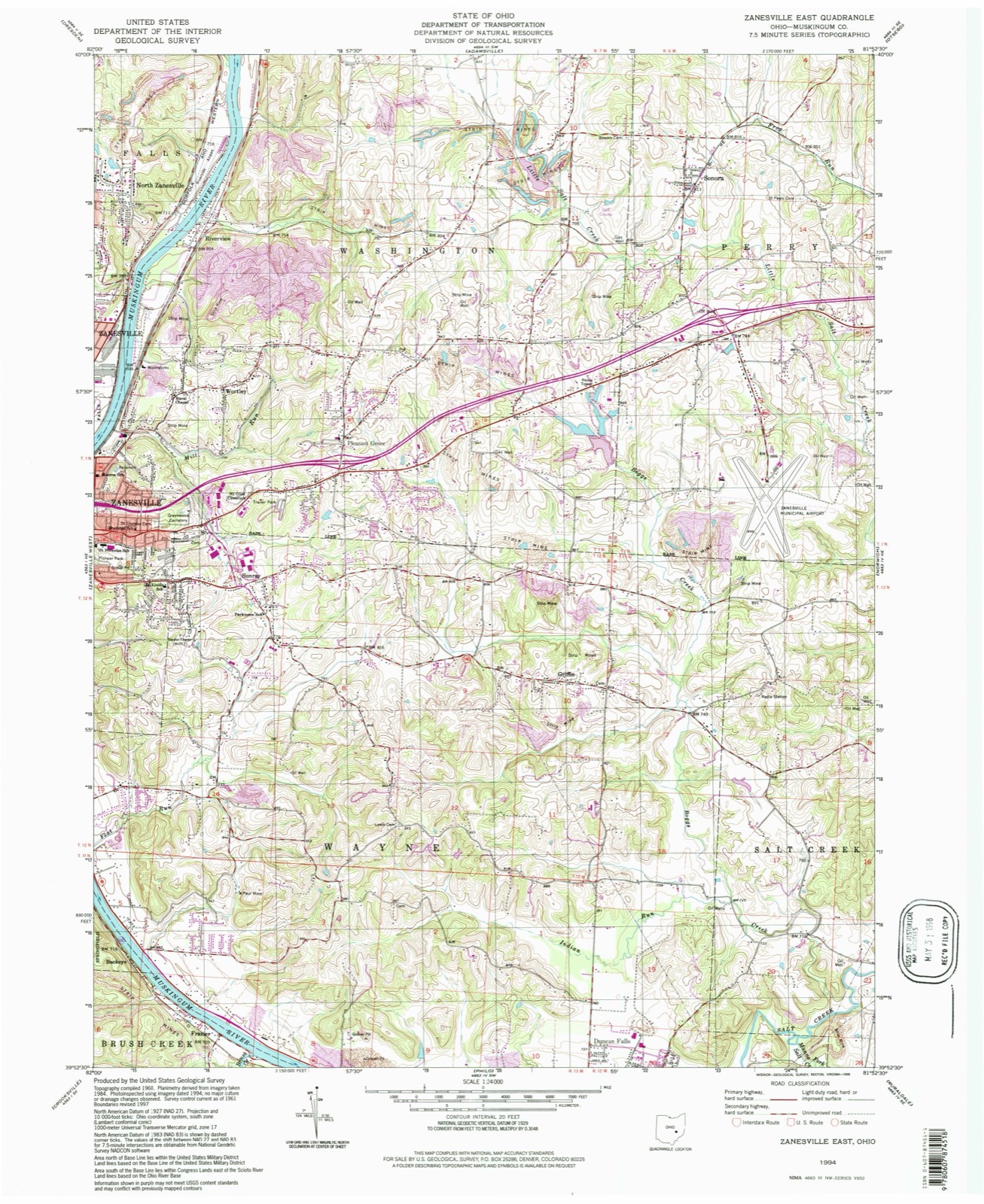
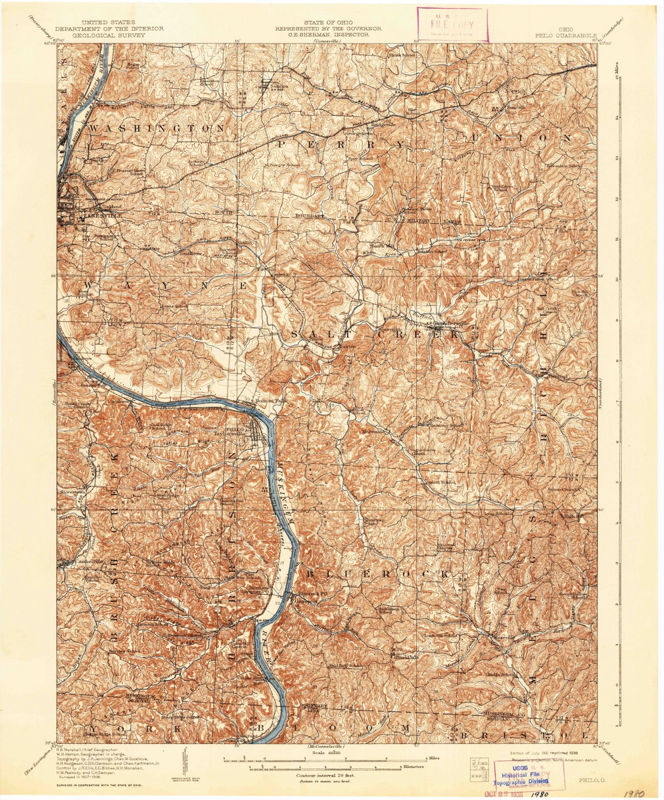
On record in Tile
Buildings and businesses the archive holds for this place. Each opens its own page, with the source record it came from.
On the National Register within a mile 5 records
The National Register names another town for these. They stand within one mile of this settlement's coordinate.
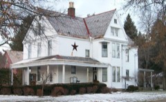 Capt. James Boggs Tannehill Houselisted 1979 · 0.3 miles away
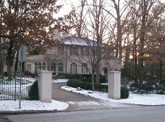 Ernest J. Gorsuch Houselisted 1980 · 0.4 miles away
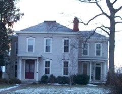 William D. Lash Houselisted 1978 · 0.4 miles away
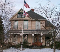 West Viewlisted 1982 · 0.4 miles away
- Fairmont Avenue Historic Districtlisted 1982 · 0.9 miles away
Topographic sheets covering this place
9 surveys from 15 printed sheetsMatched by testing this settlement's coordinate against the published boundary of every sheet in the United States Geological Survey's historical collection. Each opens the scanned sheet at the Survey.
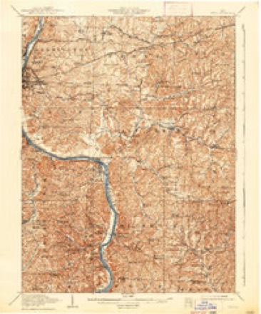
- 1910 USGS Philo quadrangle1:62500, 2 printings
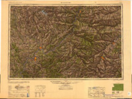
- 1949 USGS Clarksburg quadrangle1:250000
- 1956 USGS Clarksburg quadrangle1:250000, 2 printings
- 1961 USGS Clarksburg quadrangle1:250000
- 1961 USGS Zanesville East quadrangle1:24000, 5 printings
- 1980 USGS Senecaville quadrangle1:100000
- 1980 USGS Senecaville Lake quadrangle1:100000
- 1988 USGS Clarksburg quadrangle1:250000
- 1994 USGS Zanesville East quadrangle1:24000
What happened here
An account from the chapter on Zanesville city. The inset identifies its exact source book and publication year.
Hazlett Post, No. 81
was so named in honor of Captain John C. Hazlett, of 2d O. V. I., and his cousin, Harry Hazlett, of the 5th U.S. Artillery, both of whom were killed during the Civil war; the post was organized June 1, 1881, with the following officers: C. C. Goddard, post commander; M. V. B. Kennedy, senior vice commander; Wilson C.
In the county-history sources
111,688 words on this townshipBiographical and Historical Memoirs of Muskingum County, Ohio; Embracing an Authentic and Comprehensive Account of the Chief Events in the History of the County and a Record of the Lives of Many of the Most Worthy Families and Individuals, published 1892 names this settlement in its chapter on Zanesville City. These are the passages that mention it, exactly as the scans read.
In 1840 Bernard Howson, John Hallam, George Wheaton and two other experienced potters, originally from Staffordshire, England, came to Zanesville and engaged in the manufacture of Rockingham ware. In 1846, John Howson, brother of Bernard, joined them. In 1852, John Howson and his son Bernard became sole owners. In 1863, John Howson died, and the junior member of the firm continued the business, the principal feature of which was the manufacture of ink bottles. In 1874, the establishment was leased by Fischer & Lansing, of New York, for the manufacture of floor tiling.- This was the beginning of the American Emcaustic Tile works. In 1849 George Pyatt, from Staffordshire, England, came here and began making Rockingham and yellow stoneware. In 1851 the fiim of Pyatt & Goetz was formed. Two years later, Mr. Pyatt left the town and the business ceased.
Passage source: Biographical and Historical Memoirs of Muskingum County, Ohio; Embracing an Authentic and Comprehensive Account of the Chief Events in the History of the County and a Record of the Lives of Many of the Most Worthy Families and Individuals, published 1892.
The Zanesville Board of Trade is one of the city's most credible institutions. Several efforts were made in a more or less remote past to establish such an institution, but is was not until in 1886 that anything like a successful organization was secured. In March, 1886, a preliminary meeting was held and a constitution and set of by-laws were drafted, which were formally adopted April 12, 1886. The first officers elected were as follows: President, M. Churchill; first vice-president, Edgar M. Hatton; second vice-president, F. G. Darlington; secretary, William M. Shinnick, Jr.; treasurer, G. H. Stewart. Much good has been accomplished by the organization during their six years' existence. A permanent board of trade room has been established and fitted up, a salaried secretary placed in charge and the organization has moved along swimmingly, gaining with each year a firmer hold upon public respect and confidence. The wisdom of having such an organization in successful operation is best demonstrated when it is remembered that it was largely due to the efforts of this board that the national government assumed control of the Muskingum river and has been making extensive improvements on it; that the board was the chief promoter of the movement for street paving in Zanesville; that to its efforts the citizens are indebted for the Vitrified Sewer pipe works in Fair Oaks; and that it was the board that secured the American Encaustic Tile Co.'s new plant for the city. The various committees of the organization are carefully constituted and discharge the tasks assigned to them most effectively. The officers elected in April, 1891, for the ensuing year were as follows: Geo. R. Fox, president; W. W. Harper, first vice-president; A. E. Starr, second-vicepresident; Wm. S. Bell, secretary; Alex. Grant, treasurer. Directors: Charles Brendel, Rufus Burton, A. O. Jones, Wilbur McCoy, H. C. Van Vorhis, John Hoge, Wm. Kirk, S. A. Baldwin, J. Hope Sutor, A. P. Pinkerton. The organization is composed of Zanesville's leading and most enterprising business men, and is doing a grand work for the city.
Passage source: Biographical and Historical Memoirs of Muskingum County, Ohio; Embracing an Authentic and Comprehensive Account of the Chief Events in the History of the County and a Record of the Lives of Many of the Most Worthy Families and Individuals, published 1892.
Machine-read from a century-old scan, so expect the errors a machine makes: misspelled names, dropped words, stray characters.
Fires near this place
54 since 2012Regional context, not property-specific evidence. The federal wildfire occurrence database lists 54 fires within 5 miles of Tile between 2012 and 2020, burning about 37 acres in total. None started naturally. 1 was recorded as arson. Distance is straight-line from the map coordinates, so a fire counted here may appear on a neighbouring settlement's page as well.
| Reported cause | Fires |
|---|---|
| Debris and open burning | 33 |
| Missing data/not specified/undetermined | 6 |
| Power generation/transmission/distribution | 5 |
| Equipment and vehicle use | 4 |
| Recreation and ceremony | 2 |
| Smoking | 2 |
| Arson/incendiarism | 1 |
| Other causes | 1 |
The most recent of them, most recent first, with the day each was reported and the service that recorded it.
| Date | Cause | Size | Reported by | Name on the report |
|---|---|---|---|---|
| 30 September 2019 | Debris and open burning | 1.0 acres | Ohio Department of Natural Resources | 15277 |
| 30 September 2019 | Debris and open burning | 1.0 acres | Ohio Department of Natural Resources | 15278 |
| 28 September 2019 | Equipment and vehicle use | under an acre | Ohio Department of Natural Resources | 15264 |
| 1 September 2019 | Debris and open burning | under an acre | Ohio Department of Natural Resources | 15236 |
| 6 July 2020 | Equipment and vehicle use | under an acre | Ohio Department of Natural Resources | 15772 |
| 2 July 2018 | Power generation/transmission/distribution | under an acre | Ohio Department of Natural Resources | 12945 |
| 16 June 2020 | Debris and open burning | under an acre | Ohio Department of Natural Resources | 15749 |
| 10 June 2020 | Power generation/transmission/distribution | under an acre | Ohio Department of Natural Resources | 15752 |
Settlements close enough to share some of these fires:
Specimens collected near this place
12 of 862 shownRegional context, not property-specific evidence. Museums hold 862 specimens collected within 10 miles of Tile between 1873 and 1975: 714 Animalia, 123 Plantae, 15 Fungi, 5 Protozoa, 4 Unrecorded, 1 Chromista. 12 distinct Species records are shown. Collected by A.E. Miller, Adams, W. (William), Trautman, M. B. (Milton Bernard) et al., Adams, W. M. and others. Each is a physical object with a catalogue number, and each entry opens the museum's record. This is what was collected and kept, not a survey of what lives here - nothing can be concluded from a species being absent.
| Image | Species | Year | Collected by | Where, as recorded |
|---|---|---|---|---|
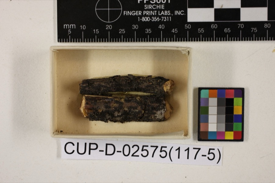 | Scleroderris rubra Morgan | 1891 | Morgan, Andrew Price | Preston |
 | Peziza nana Massee & Morgan | 1895 | Morgan, Andrew Price | Preston |
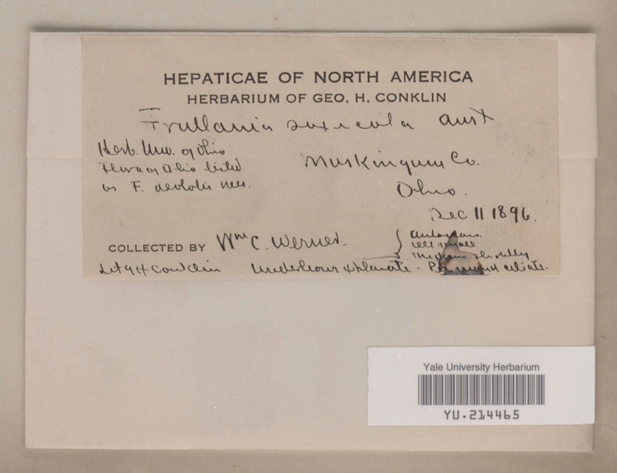 | Frullania saxicola Austin | 1896 | William C. Werner | |
 | Poa cuspidata Nutt. | 1873 | W. M. Canby | Zanesville. |
 | Frullania eboracensis Lehm. | 1890 | W. C. Werner | |
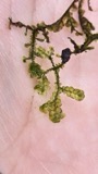 | Porella pinnata L. | 1891 | W. C. Werner | |
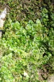 | Porella platyphylla (L.) Pfeiff. | 1891 | W. C. Werner | |
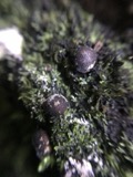 | Lycogala exiguum Morgan, 1893 | 1893 | Morgan A.P. | Preston |
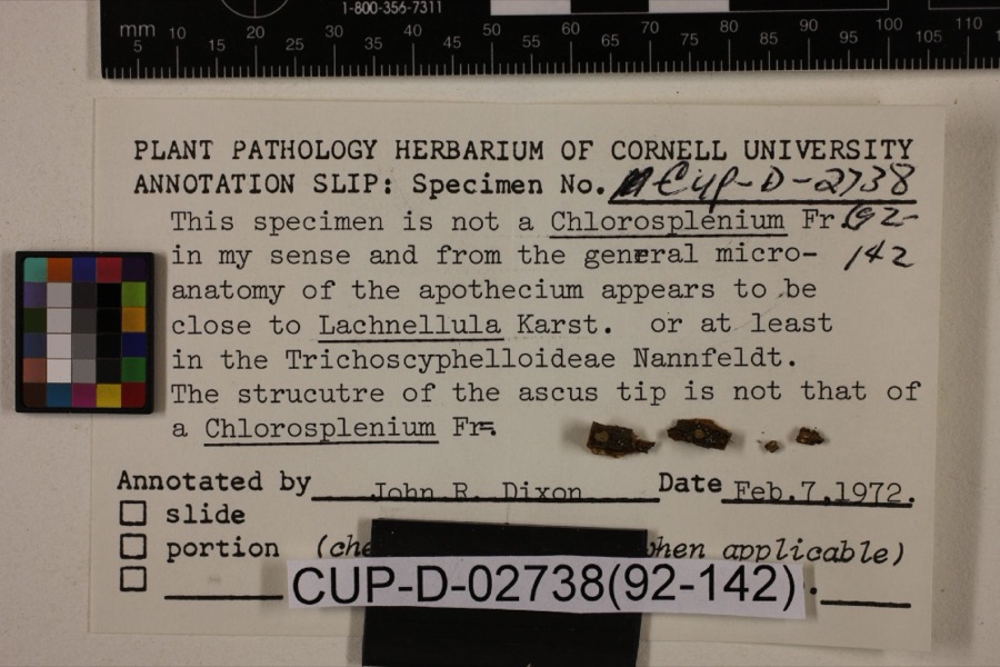 | Lachnum viridulum Massee & Morgan | 1905 | Morgan, Andrew Price | Preston |
 | Peziza morganii Massee | 1905 | Morgan, Andrew Price | Preston (The no longer extant town of Preston, Ohio, was located in Hamilton County in the Miami River drainage). |
| Tapesia derelicta Morgan | 1905 | Morgan, Andrew Price | Preston | |
 | Gyromitra brunnea Underw. | 1909 | Moore S. R. | Zanesville |
All 862 specimens within 10 miles, at the Global Biodiversity Information Facility.
Mines and quarries near this place
10 within 5 milesRegional context, not property-specific evidence. The federal mineral resources record lists 10 workings within 5 miles of Tile: 6 producers, 3 past producers, 1 plant. 7 still produce. What was taken out: Sand and Gravel, Construction, Iron. Distance is straight-line from the map coordinates, so a quarry counted here may appear on a neighbouring settlement's page as well.
| Where | Site | Commodity | Status | Recorded |
|---|---|---|---|---|
| Armco Inc/ Zanesville, Ohio | Iron | Producer | ||
| Baker Pit & Mill | Sand and Gravel, Construction | Plant | ||
| Baker Sand Inc Pit | Sand and Gravel, Construction | Producer | ||
| Granite Plant Pit | Sand and Gravel, Construction | Producer | ||
| Muskingum R. Gravel Plant No 3 Pit | Sand and Gravel, Construction | Past Producer | ||
| Plant Number 3 Pit | Sand and Gravel, Construction | Past Producer | Sedimentary | |
| Plant Number 4 Pit | Sand and Gravel, Construction | Past Producer | Sedimentary | |
| Salt Creek Materials Co. | Sand and Gravel, Construction | Producer | ||
| Seville Pit | Sand and Gravel, Construction | Producer | ||
| Seville Road Sand and Gravel Pit | Sand and Gravel, Construction | Producer |
Nearest settlements
The eight closest, with where each one stands in the county. Distances are straight-line, computed from the Geographic Names Information System coordinates.
| Map | Place | Distance | Sheets |
|---|---|---|---|
| Homestead Hills | 0.7 miles | 15 | |
| Harding Heights | 0.9 miles | 13 | |
| North Zanesville | 1.0 miles | 13 | |
| Terrace | 1.0 miles | 13 | |
| Mill Run | 1.0 miles | 15 | |
| Avalon Heights | 1.1 miles | 13 | |
| Wortley | 1.1 miles | 15 | |
| Riverview | 1.2 miles | 15 |
Provenance
This settlement is recorded in the Geographic Names Information System as feature 1065513. The sheet list is computed by point-in-boundary test against the United States Geological Survey's historical topographic inventory. Both are works of the United States government and carry no copyright under 17 U.S.C. 105.
Wildfire. Short, Karen C. 2022. Spatial wildfire occurrence data for the United States, 1992-2020 [FPA_FOD_20221014]. 6th Edition. Fort Collins, CO: Forest Service Research Data Archive. https://doi.org/10.2737/RDS-2013-0009.6 Collected with United States Government funding and usable without additional permissions or fees.
Specimens. Global Biodiversity Information Facility (GBIF), https://www.gbif.org/. Only records licensed CC0 or CC BY are used. Records licensed CC BY-NC are excluded because this site carries advertising. Images are checked individually and any whose licence is non-commercial, no-derivatives or unreadable is refused.
Mines and quarries. USGS Mineral Resources Data System (MRDS) https://mrdata.usgs.gov/mrds/ A work of the United States government, no copyright under 17 U.S.C. 105.