 Block
Block
Washingtonville, Ohio
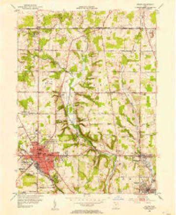
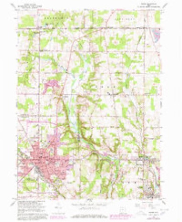
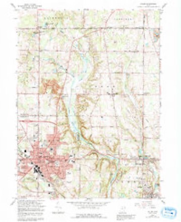
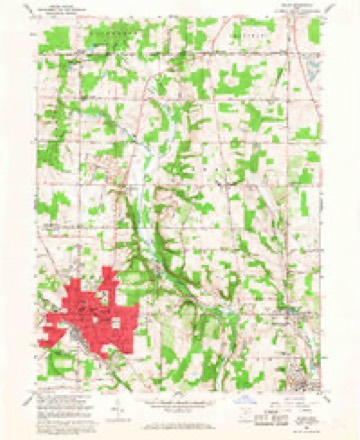
16 topographic sheets cover this place, the earliest surveyed in 1909 and the latest in 1994. It stands in Salem Township. It lies in ZIP code area 44490. The Survey maps it on the Salem quadrangle. 712 people lived here at the 2020 count.
Population over time
2 figuresWashingtonville fell from 801 to 712 between 2010 and 2020. These are the recorded population figures Wikidata holds for this place, reached through the Geographic Names Information System number this page is keyed on rather than by name, so they belong to this place and not to another of the same name. Most are census counts, but not all are: an early figure may be a founding or settlement estimate. The change column is computed, and is left blank where more than 20 years separate a figure from the one before it, because a gap that long is not a change between two counts.
| Year | People | Change |
|---|---|---|
| 2010 | 801 | |
| 2020 | 712 | -89 (-11%) |
Then and now
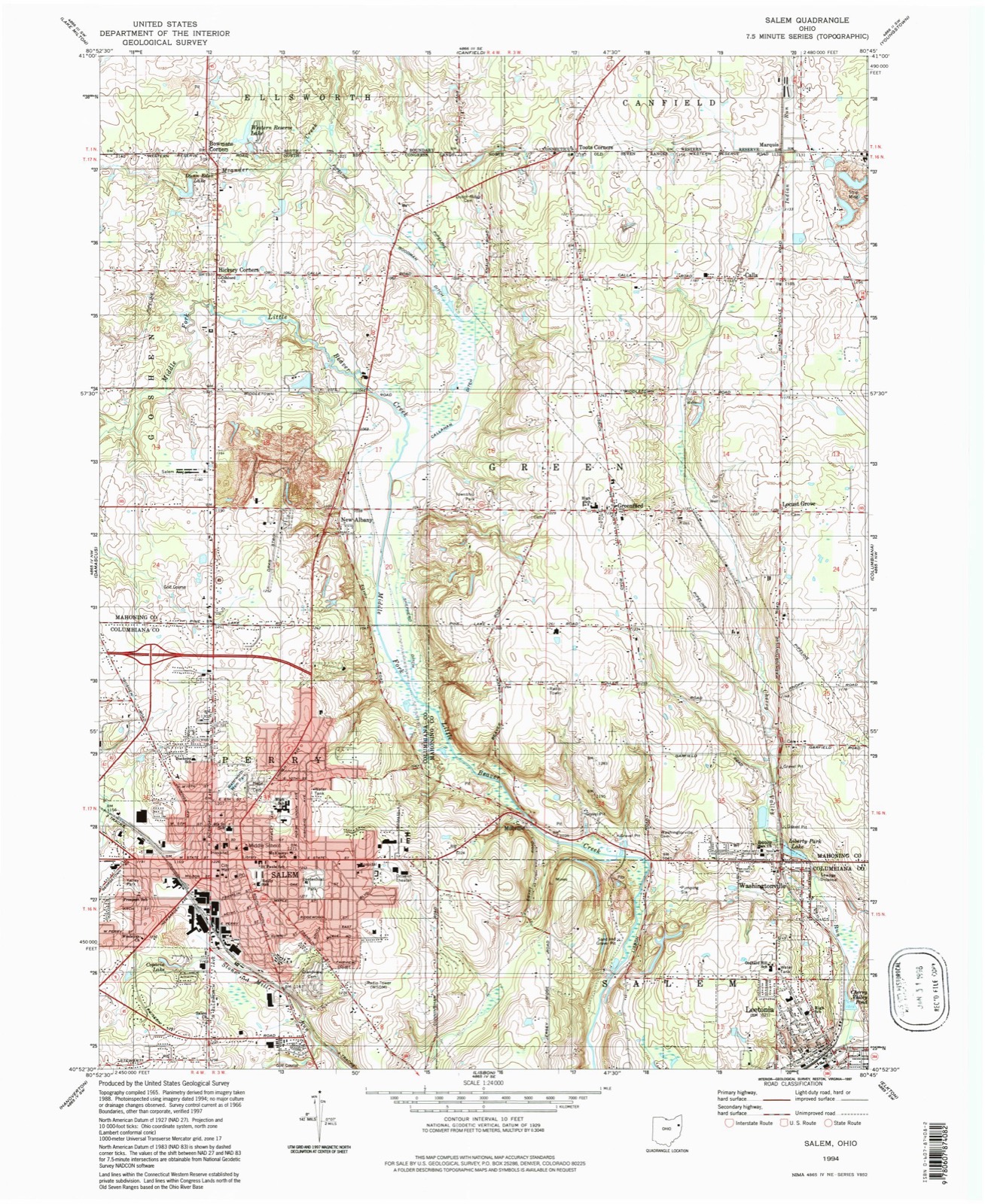
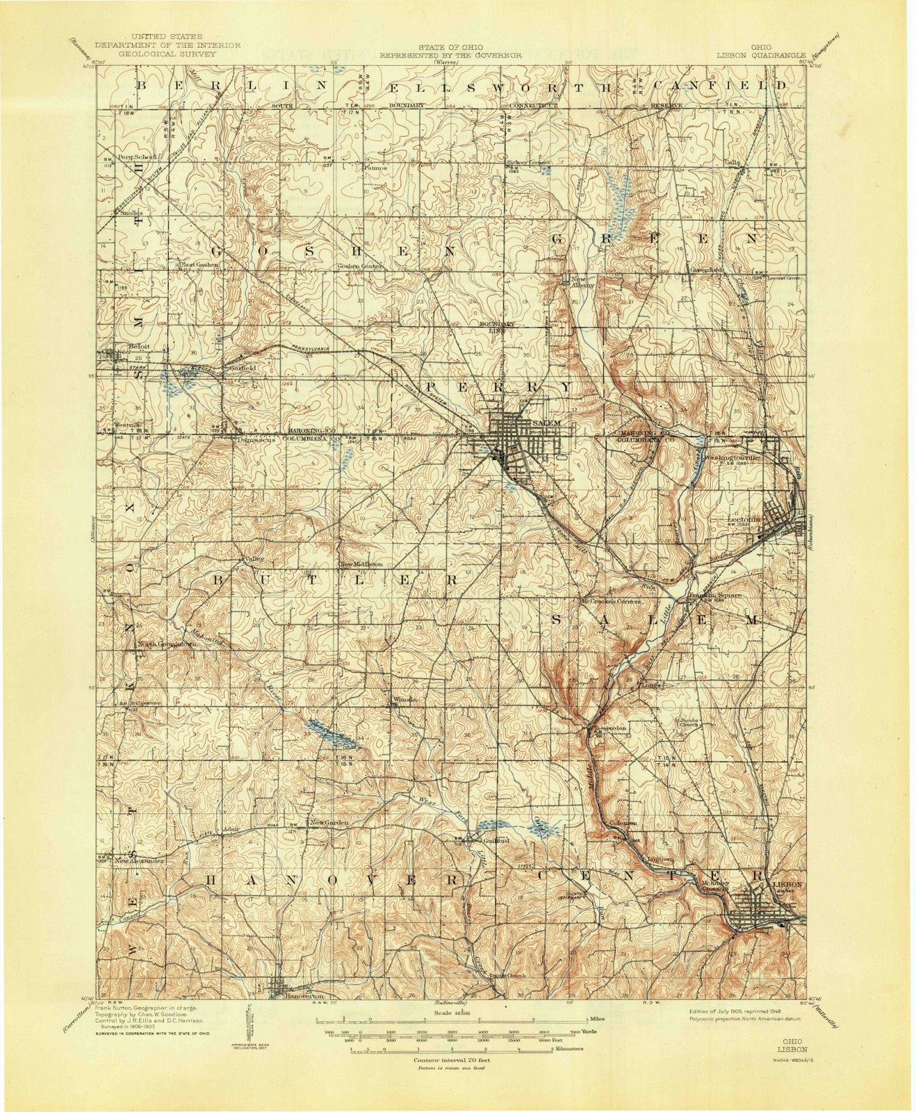
1909 to 1994The same ground, surveyed 85 years apart. Drag the handle to wipe between them. Both sheets are United States Geological Survey originals; neither has been altered.
Compare 1909 against another survey:
Topographic sheets covering this place
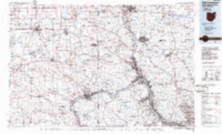
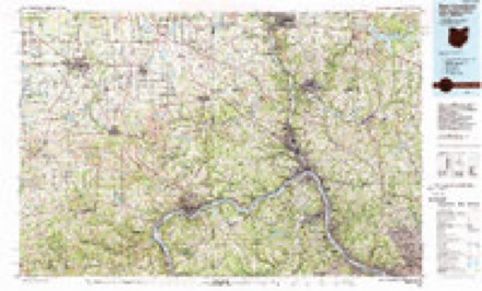
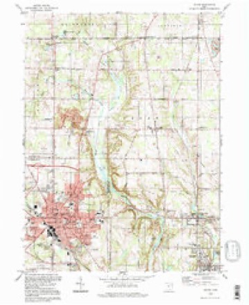
16 sheetsMatched by testing this settlement's coordinate against the published boundary of every sheet in the United States Geological Survey's historical collection. Each opens the scanned sheet at the Survey.
- 1909 USGS Lisbon quadrangle1:62500
- 1909 USGS Lisbon quadrangle1:62500
- 1951 USGS Canton quadrangle1:250000
- 1952 USGS Salem quadrangle1:24000
- 1953 USGS Canton quadrangle1:250000
- 1957 USGS Canton quadrangle1:250000
- 1957 USGS Canton quadrangle1:250000
- 1957 USGS Canton quadrangle1:250000
- 1962 USGS Canton quadrangle1:250000
- 1962 USGS Canton quadrangle1:250000
- 1966 USGS Salem quadrangle1:24000
- 1966 USGS Salem quadrangle1:24000
- 1966 USGS Salem quadrangle1:24000
- 1986 USGS East Liverpool quadrangle1:100000
- 1986 USGS East Liverpool quadrangle1:100000
- 1994 USGS Salem quadrangle1:24000







In the county-history sources
10,050 words on this townshipHistory of Columbiana County, Ohio, published 1879 names this settlement in its chapter on Salem Township. These are the passages that mention it, exactly as the scans read.
The following are in practice in the township: at Franklin Square, Dr. J. Burger, settled in 1859 ; at Leetonia, Dr. James Bertloett (son of Dr. 1). K. Bertloett), commenced practice in 1865 ; Dr. E. Hahn, settled in 1867 ; Dr. G. W. Bloom, settled in 1878 ; at Washingtonville, Dr. Jacob Buzzard, who began practice in 1849 ; Dr. Henry Bertloett (son of Dr. D. Iv. Bertloett), who has practiced since I860.
Passage source: History of Columbiana County, Ohio, published 1879.
The principal streams are the middle fork of Beaver Creek, which enters from Mahoning County, on the north, and, flowing in a direction west of south, divides the township into nearly equal parts ; and two branches, one of which enters from Mahoning, east of Washingtonville, and, flowing south and southwest, unites with the middle fork near the centre of the township and north of Franklin Square. The other branch flows easterly through the western part of the township, and joins the main stream immediately west of Franklin Square. These streams have several mill-sites, some of which have been occupied since 1803. Several smaller streams are tributary to those described, and others, flowing south, drain the southeastern portion of the township.
Passage source: History of Columbiana County, Ohio, published 1879.
Jacob Bossart came from Franklin Co., Pa., about 1809, to New Lisbon, where he kept store for a short time, and entered sections 3 and 10. In 1810 he moved upon section 3 with his wife, and built a cabin on the middle fork of Little Beaver Creek. He made a small clearing, and soon afterwards built a saw-mill and made the manufacture of lumber a specialty. On this mill-site Mr. Bossart built three mills at different periods ; the second was destroyed by fire. From about 1812 a mill has been in constant operation upon this site, passing from Mr. Bossart successively and finally to James M. Hope, who is now in possession. With the exception of 20 acres sold to Peter Zimmerman, and 5 acres sold to Caleb Roller, both in the northwest quarter, section 3 was kept by Mr. Bossart until his death, and then divided among his children. Of these, Jeremiah Bossart lives on the farm originally purchased ; Dr. Jacob Bossart lives at Washingtonville. The southwest quarter of section 10 was sold by the sheriff to satisfy a bail-bond, the man for whom Mr. Bossart avas bail being one day too late with the money. lie kept the north half of section 10 until death, and left it to his children. John Albright bought the south part of the middle ; Christian Betz purchased 50 acres; and Conrad Miller 18 acres.
Passage source: History of Columbiana County, Ohio, published 1879.
Machine-read from a century-old scan, so expect the errors a machine makes: misspelled names, dropped words, stray characters.
Read the whole chapter on Salem Township - it names this place 8 more 8 times.
Fires near this place
5 since 2004Regional context, not property-specific evidence. The federal wildfire occurrence database lists 5 fires within 5 miles of Washingtonville between 2004 and 2020, burning about 1 acres in total. None started naturally. None was recorded as arson. Distance is straight-line from the map coordinates, so a fire counted here may appear on a neighbouring settlement's page as well.
| Reported cause | Fires |
|---|---|
| Debris and open burning | 4 |
| Smoking | 1 |
The most recent of them, most recent first, with the day each was reported and the service that recorded it.
| Date | Cause | Size | Reported by | Name on the report |
|---|---|---|---|---|
| 9 May 2019 | Smoking | under an acre | Ohio Department of Natural Resources | 15194 |
| 9 April 2004 | Debris and open burning | under an acre | Ohio Department of Natural Resources | not named |
| 10 April 2005 | Debris and open burning | under an acre | Ohio Department of Natural Resources | not named |
| 15 March 2009 | Debris and open burning | under an acre | Ohio Department of Natural Resources | not named |
| 10 March 2020 | Debris and open burning | under an acre | Ohio Department of Natural Resources | 15511 |
Settlements close enough to share some of these fires:
Specimens collected near this place
12 of 353 shownRegional context, not property-specific evidence. Museums hold 353 specimens collected within 10 miles of Washingtonville between 1878 and 1975: 165 Animalia, 156 Plantae, 31 Fungi, 1 Unrecorded. 12 distinct Species records are shown. Collected by ?, Adler, K. K., Andreas, B.; Cusick, A.W. and others. Each is a physical object with a catalogue number, and each entry opens the museum's record. This is what was collected and kept, not a survey of what lives here - nothing can be concluded from a species being absent.
| Image | Species | Year | Collected by | Where, as recorded |
|---|---|---|---|---|
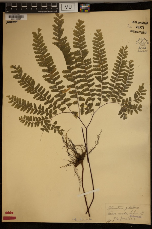 | Adiantum pedatum L. | 1887 | ? | Dense woods, Salem. |
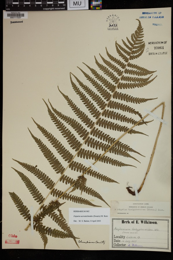 | Deparia acrostichoides (Sw.) M.Kato | 1887 | Wilkinson, E. | Salem |
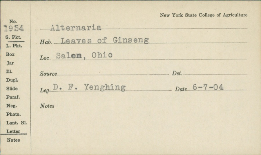 | Alternaria Nees | 1904 | D.F. Yenghing | |
 | Tringa semipalmata semipalmata (J.F.Gmelin, 1789) | 1878 | Collector(s): Leonard R. Freeman | Ohio Valley |
 | Asclepias incarnata L. | 1884 | E. Wilkinson | Salem |
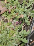 | Cirsium arvense (L.) Scop. | 1884 | E. Wilkinson | Salem |
 | Ilex verticillata (L.) A.Gray | 1884 | Shafer, J.A. | near line of Columbiana Co |
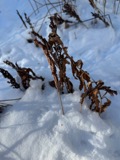 | Onoclea sensibilis L. | 1884 | Shafer, J.A. | near line of Columbiana County |
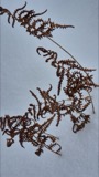 | Thelypteris palustris var. pubescens (G.Lawson) Fernald | 1884 | Shafer, J.A. | near line of Columbiana Co |
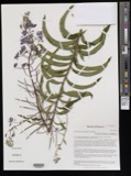 | Chamerion angustifolium subsp. circumvagum (Mosquin) Hoch | 1885 | Shafer, J.A. | N.Y.P.U.O.RR, East of Salem |
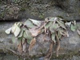 | Micranthes pensylvanica (L.) Haw. | 1885 | Shafer, J.A. | near line Columbiana Co |
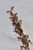 | Platanthera lacera (Michx.) G.Don | 1885 | Shafer, J.A.; Hill, W. | near Columbiana County line |
All 353 specimens within 10 miles, at the Global Biodiversity Information Facility.
Mines and quarries near this place
8 within 5 milesRegional context, not property-specific evidence. The federal mineral resources record lists 8 workings within 5 miles of Washingtonville: 5 past producers, 3 producers. 3 still produce. What was taken out: Sand and Gravel, Construction, Manganese, Chromium. Distance is straight-line from the map coordinates, so a quarry counted here may appear on a neighbouring settlement's page as well.
| Where | Site | Commodity | Status | Recorded |
|---|---|---|---|---|
| Kaiser Aluminum/ Columbiana, Ohio | Chromium | Producer | ||
| Kaiser Refractories | Manganese | Past Producer | ||
| Beaver Creek Sand & Gravel Co. Pit | Sand and Gravel, Construction | Past Producer | Sedimentary | |
| Beaver Creek Sand & Gravel Co. Pit | Sand and Gravel, Construction | Producer | ||
| Leetonia Pit | Sand and Gravel, Construction | Past Producer | Sedimentary | |
| Neiheisel Pit | Sand and Gravel, Construction | Producer | ||
| Salem Pit | Sand and Gravel, Construction | Past Producer | Sedimentary | |
| Salem Pit | Sand and Gravel, Construction | Past Producer |
Storms near this place
3 since 2004Regional context, not property-specific evidence. The National Weather Service names Washingtonville in 3 storm reports between 2004 and 2020: 2 flash flood, 1 tornado. No death or injury is recorded in these reports. Each account below is quoted exactly as the forecast office filed it, from the NOAA Storm Events Database, and each date opens the federal record of that event.
| When | Event | Place named | Harm | What the report says |
|---|---|---|---|---|
| March 2010 | Flash Flood | Washingtonville | $150,000 | Emergency management reported Sandy Creek was flowing over roads and bridges near East Rochester. Flash flooding was also along Teegarden Road in Salem Township. A bridge was washed out on a county road in Elkrun Township. |
| June 2020 | Tornado (EF0) | Washingtonville | $20,000 | A brief tornado was confirmed in northern Columbiana County |following a survey of damage in the Leetonia/Washingtonville area.|Damage began just north of the Leetonia High School and was most|concentrated along Leetonia Road, where numerous trees were|snapped or uprooted. Minor fascia damage also was noted in this|area.||The circulation then weakened as it progressed northeast, with|tree damage continuing to the county line, where debris evidence |seemed to end abruptly. NWS Pittsburgh observed no evidence of |wind damage continuing into Mahoning County, which is coincident|with a weakening trend in the radar-depicted circulation.||Damage earlier in the circulation's track across Salem Township was|sporadic and did not prove to be conclusively tornadic.||At its peak, tree damage was consistent with wind speeds of 70-75|mph near the beginning of the swath along Leetonia Road. The|tornado was very narrow and brief, and additional wind damage just|south and east of the tornado likely was caused by enhanced|straight-line wind associated with the tornado's parent mesovortex|and rear-inflow surge. |
| May 2004 | Flash Flood | Washingtonville | - | Stream flooded. Woman had to be evacuated by boat from her house, surrounded by water. |
Nearest settlements
The eight closest, with where each one stands in the county. Distances are straight-line, computed from the Geographic Names Information System coordinates.
| Map | Place | Distance | Sheets |
|---|---|---|---|
| Leetonia | 1.7 miles | 16 | |
| Southern Terrace Park | 3.2 miles | 17 | |
| Franklin Square | 3.4 miles | 15 | |
| Unionville | 3.4 miles | 15 | |
| Columbiana | 3.8 miles | 17 | |
| Salem | 4.9 miles | 16 | |
| Longs Crossing | 5.1 miles | 15 | |
| Teegarden | 6.4 miles | 15 |
Elsewhere
Matched on this settlement's Geographic Names Information System number rather than its name, so it cannot be a different place of the same name in another state.
| Wikipedia article on Washingtonville | An encyclopaedic summary. Its text is share-alike, so it is linked here rather than copied. |
| Wikidata item Q2309607 | The structured record the population and elevation above come from. Public domain (CC0). |
Provenance
This settlement is recorded in the Geographic Names Information System as feature 1047606. The sheet list is computed by point-in-boundary test against the United States Geological Survey's historical topographic inventory. Both are works of the United States government and carry no copyright under 17 U.S.C. 105.
Wildfire. Short, Karen C. 2022. Spatial wildfire occurrence data for the United States, 1992-2020 [FPA_FOD_20221014]. 6th Edition. Fort Collins, CO: Forest Service Research Data Archive. https://doi.org/10.2737/RDS-2013-0009.6 Collected with United States Government funding and usable without additional permissions or fees.
Specimens. Global Biodiversity Information Facility (GBIF), https://www.gbif.org/. Only records licensed CC0 or CC BY are used. Records licensed CC BY-NC are excluded because this site carries advertising. Images are checked individually and any whose licence is non-commercial, no-derivatives or unreadable is refused.
Mines and quarries. USGS Mineral Resources Data System (MRDS) https://mrdata.usgs.gov/mrds/ A work of the United States government, no copyright under 17 U.S.C. 105.
Storms. NOAA National Centers for Environmental Information, Storm Events Database https://www.ncei.noaa.gov/stormevents/ A work of the United States government, no copyright under 17 U.S.C. 105. Narratives are quoted verbatim from the National Weather Service report and are not edited or summarised.