 Block
Block
Salem, Ohio
16 topographic sheets cover this place, the earliest surveyed in 1909 and the latest in 1994. It stands in Perry Township. It lies in ZIP code area 44460. The Survey maps it on the Salem quadrangle. 11,915 people lived here at the 2020 count. It stands 1,227 feet above sea level.
Population over time
2 figuresSalem fell from 12,303 to 11,915 between 2010 and 2020. These are the recorded population figures Wikidata holds for this place, reached through the Geographic Names Information System number this page is keyed on rather than by name, so they belong to this place and not to another of the same name. Most are census counts, but not all are: an early figure may be a founding or settlement estimate. The change column is computed, and is left blank where more than 20 years separate a figure from the one before it, because a gap that long is not a change between two counts.
| Year | People | Change |
|---|---|---|
| 2010 | 12,303 | |
| 2020 | 11,915 | -388 (-3%) |
Then and now
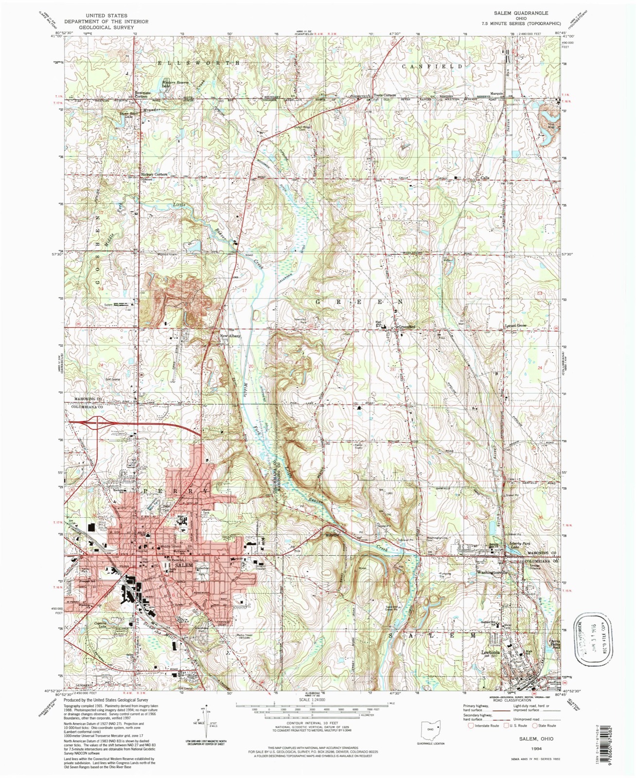
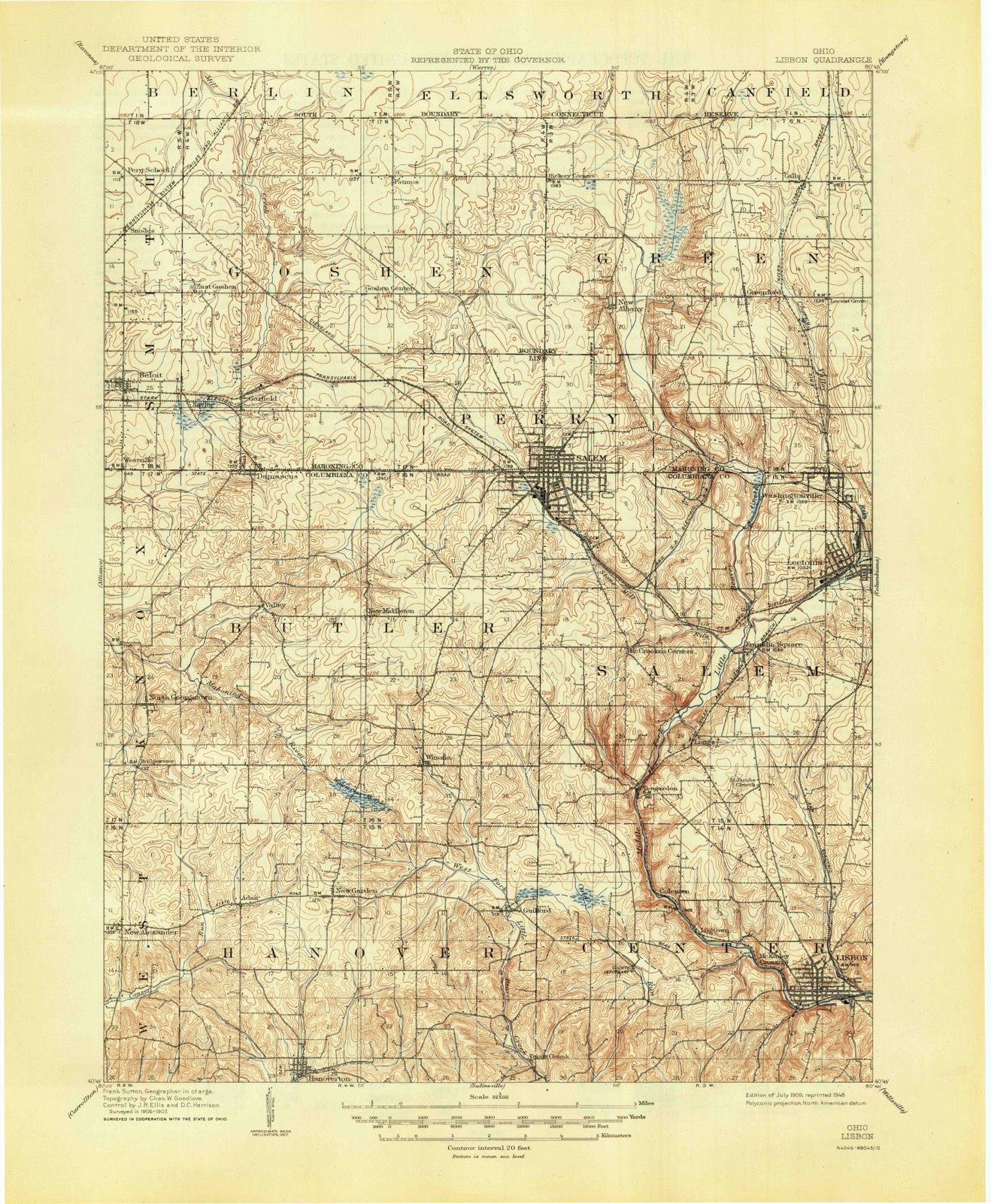
1909 to 1994The same ground, surveyed 85 years apart. Drag the handle to wipe between them. Both sheets are United States Geological Survey originals; neither has been altered.
Compare 1909 against another survey:
Topographic sheets covering this place
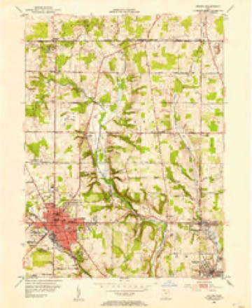
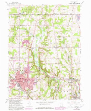
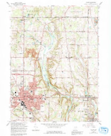
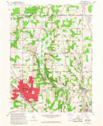
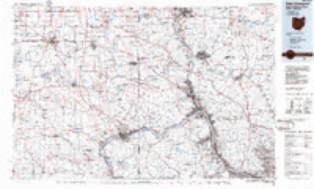
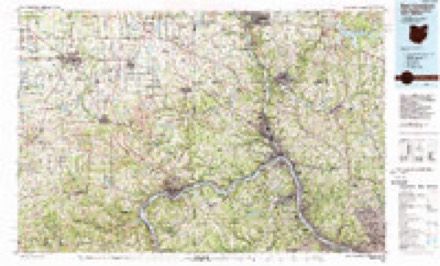
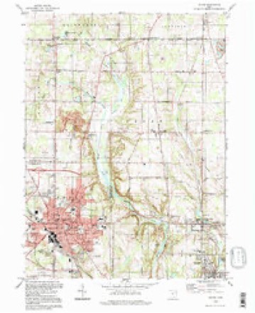
16 sheetsMatched by testing this settlement's coordinate against the published boundary of every sheet in the United States Geological Survey's historical collection. Each opens the scanned sheet at the Survey.
- 1909 USGS Lisbon quadrangle1:62500
- 1909 USGS Lisbon quadrangle1:62500
- 1951 USGS Canton quadrangle1:250000
- 1952 USGS Salem quadrangle1:24000
- 1953 USGS Canton quadrangle1:250000
- 1957 USGS Canton quadrangle1:250000
- 1957 USGS Canton quadrangle1:250000
- 1957 USGS Canton quadrangle1:250000
- 1962 USGS Canton quadrangle1:250000
- 1962 USGS Canton quadrangle1:250000
- 1966 USGS Salem quadrangle1:24000
- 1966 USGS Salem quadrangle1:24000
- 1966 USGS Salem quadrangle1:24000
- 1986 USGS East Liverpool quadrangle1:100000
- 1986 USGS East Liverpool quadrangle1:100000
- 1994 USGS Salem quadrangle1:24000







In the county-history sources
31,652 words on this townshipHistory of Columbiana County, Ohio, published 1879 names this settlement in its chapter on Perry Township. These are the passages that mention it, exactly as the scans read.
Salem. - Dr. Benjamin Stanton began the practice of medicine and surgery in Salem, Dec. 12, 1815. He had studied with Dr. Hamilton, of Mt. Pleasant, Ohio, and for a time had an office in Camden. Salem had then no resident physician, the people of that place depending principally upon the services of Dr. Potter, of New Lisbon. He was a man of fine moral and intellectual qualities, and continued to discharge the duties of his profession with zeal and ability until the time of his death, Feb. 28, 1861.*
Passage source: History of Columbiana County, Ohio, published 1879.
Dr. Daniel Williams, a Friend, settled in Salem about 1827-28, and was considered a skillful physician. Ho subsequently, with his wife, took charge of the Friends' boarding-school, at Mt. Pleasant, Ohio, at the opening of that institution, he acting as superintendent. After serving a number of years they returned to Salem, and thereafter occupied a farm, where Dr. Williams died in 1861.
Passage source: History of Columbiana County, Ohio, published 1879.
Dr. Abel Carey was born in Smithfield, Jefferson Co., Ohio, in 1809. He was for eleven years associated in practice with Dr. Robertson, of Hanover, from which place he removed to Salem in 1843, and there continued practice until his death. Eight years of his busy life were passed in partnership with Dr. J. M. Kuhn, and the remainder, or a period of about five years, with Dr. J. L. Firestone.
Passage source: History of Columbiana County, Ohio, published 1879.
Machine-read from a century-old scan, so expect the errors a machine makes: misspelled names, dropped words, stray characters.
Read the whole chapter on Perry Township - it names this place 132 more 132 times.
Fires near this place
4 since 2005Regional context, not property-specific evidence. The federal wildfire occurrence database lists 4 fires within 5 miles of Salem between 2005 and 2020, burning about 2 acres in total. None started naturally. None was recorded as arson. Distance is straight-line from the map coordinates, so a fire counted here may appear on a neighbouring settlement's page as well.
| Reported cause | Fires |
|---|---|
| Debris and open burning | 3 |
| Smoking | 1 |
The most recent of them, most recent first, with the day each was reported and the service that recorded it.
| Date | Cause | Size | Reported by | Name on the report |
|---|---|---|---|---|
| 9 May 2019 | Smoking | under an acre | Ohio Department of Natural Resources | 15194 |
| 31 March 2005 | Debris and open burning | 1.0 acres | Ohio Department of Natural Resources | not named |
| 15 March 2009 | Debris and open burning | under an acre | Ohio Department of Natural Resources | not named |
| 10 March 2020 | Debris and open burning | under an acre | Ohio Department of Natural Resources | 15511 |
Settlements close enough to share some of these fires:
Specimens collected near this place
12 of 452 shownRegional context, not property-specific evidence. Museums hold 452 specimens collected within 10 miles of Salem between 1878 and 1975: 234 Animalia, 187 Plantae, 31 Fungi. 12 distinct Species records are shown. Collected by ?, Adler, K. K., Armbruster, D. C. (Daniel C.) and others. Each is a physical object with a catalogue number, and each entry opens the museum's record. This is what was collected and kept, not a survey of what lives here - nothing can be concluded from a species being absent.
| Image | Species | Year | Collected by | Where, as recorded |
|---|---|---|---|---|
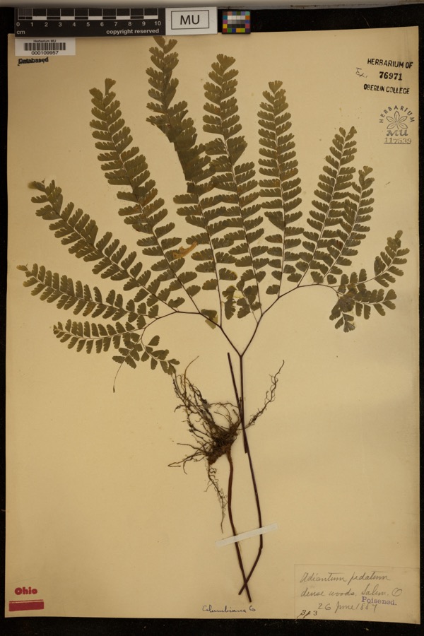 | Adiantum pedatum L. | 1887 | ? | Dense woods, Salem. |
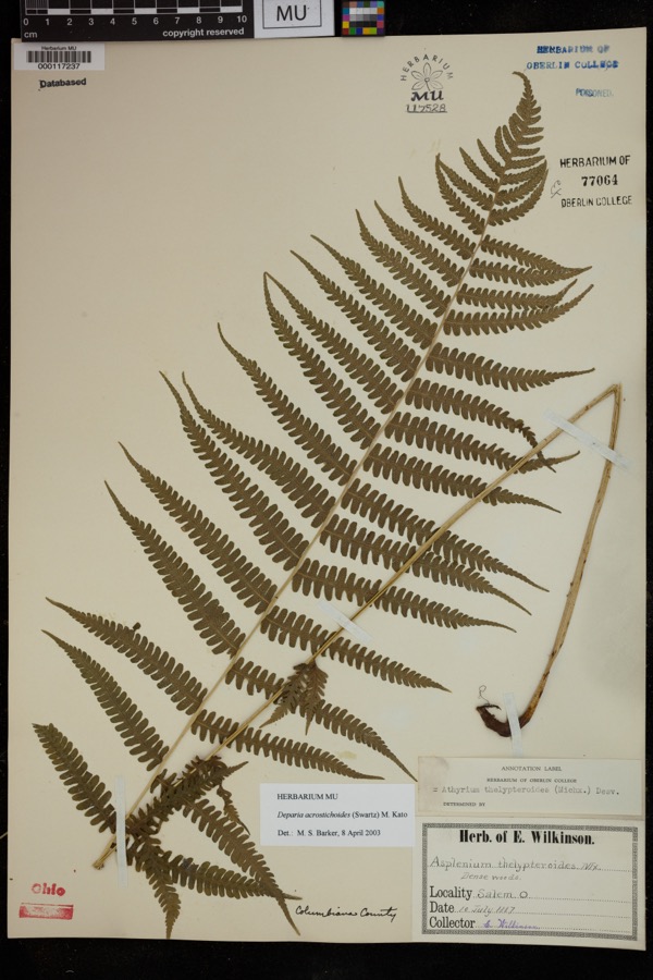 | Deparia acrostichoides (Sw.) M.Kato | 1887 | Wilkinson, E. | Salem |
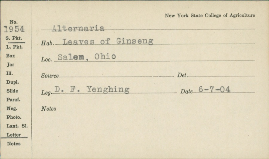 | Alternaria Nees | 1904 | D.F. Yenghing | |
 | Tringa semipalmata semipalmata (J.F.Gmelin, 1789) | 1878 | Collector(s): Leonard R. Freeman | Ohio Valley |
 | Zenaida macroura carolinensis (Linnaeus, 1766) | 1883 | not recorded | Beloit |
 | Asclepias incarnata L. | 1884 | E. Wilkinson | Salem |
 | Cirsium arvense (L.) Scop. | 1884 | E. Wilkinson | Salem |
 | Ilex verticillata (L.) A.Gray | 1884 | Shafer, J.A. | near line of Columbiana Co |
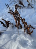 | Onoclea sensibilis L. | 1884 | Shafer, J.A. | near line of Columbiana County |
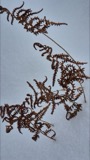 | Thelypteris palustris var. pubescens (G.Lawson) Fernald | 1884 | Shafer, J.A. | near line of Columbiana Co |
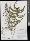 | Chamerion angustifolium subsp. circumvagum (Mosquin) Hoch | 1885 | Shafer, J.A. | N.Y.P.U.O.RR, East of Salem |
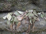 | Micranthes pensylvanica (L.) Haw. | 1885 | Shafer, J.A. | near line Columbiana Co |
All 452 specimens within 10 miles, at the Global Biodiversity Information Facility.
Mines and quarries near this place
4 within 5 milesRegional context, not property-specific evidence. The federal mineral resources record lists 4 workings within 5 miles of Salem: 3 past producers, 1 producer. 1 still produces. What was taken out: Sand and Gravel, Construction. Distance is straight-line from the map coordinates, so a quarry counted here may appear on a neighbouring settlement's page as well.
| Where | Site | Commodity | Status | Recorded |
|---|---|---|---|---|
| Beaver Creek Sand & Gravel Co. Pit | Sand and Gravel, Construction | Past Producer | Sedimentary | |
| Beaver Creek Sand & Gravel Co. Pit | Sand and Gravel, Construction | Producer | ||
| Salem Pit | Sand and Gravel, Construction | Past Producer | Sedimentary | |
| Salem Pit | Sand and Gravel, Construction | Past Producer |
Storms near this place
60 of 69 shownRegional context, not property-specific evidence. The National Weather Service names Salem in 69 storm reports between 1994 and 2025: 41 thunderstorm wind, 16 hail, 8 flash flood, 2 flood. No death or injury is recorded in these reports. Each account below is quoted exactly as the forecast office filed it, from the NOAA Storm Events Database, and each date opens the federal record of that event.
| When | Event | Place named | Harm | What the report says |
|---|---|---|---|---|
| August 2007 | Thunderstorm Wind | Salem | $500,000 | An NWS storm survey found a microburst hit Salem with maximum winds estimated at 85 MPH with maximum width about 200 yards. A roof was ripped off a gas station with minor damage to a supermarket. A truck was overturned and a car was pushed on top of another. Numerous trees and power lines were knocked down with several large signs damaged. |
| August 2011 | Thunderstorm Wind | Salem | $50,000 | Law enforcement reported large trees down. |
| June 2011 | Thunderstorm Wind | Salem | $50,000 | A trained spotter reported trees and power lines down on State Route 62 near Salem. |
| June 2011 | Thunderstorm Wind | Salem | $50,000 | A trained spotter reported trees and power lines down on State Route 62 near Salem. |
| June 2009 | Flash Flood | Salem | $50,000 | Emergency management reported Cunningham Road closed due to flash flooding. |
| June 2009 | Thunderstorm Wind | Salem | $50,000 | Emergency management reported trees and power lines down near Salem. |
| August 2007 | Flash Flood | Salem | $50,000 | A trained spotter reported flash flooding closed the intersection of State Street and Lincoln street. Reported rainfall of 3.10 inches. |
| July 2012 | Thunderstorm Wind | Salem | $35,000 | Law enforcement reported trees and power lines down. |
| April 2023 | Thunderstorm Wind | Salem | $25,000 | Widespread tree and power line damage throughout the county. Initial damage time was between 12:30pm and 12:45pm. |
| April 2023 | Thunderstorm Wind | Salem | $25,000 | A metal carport was displaced on Route 14. Time of damage estimated based on the radar. |
| August 2007 | Flash Flood | Salem | $25,000 | A trained spotter reported roads impassible due to flash flooding in Salem. |
| August 2005 | Thunderstorm Wind | Salem | $25,000 | Trees blown down onto cars. |
| January 1996 | Flash Flood | Salem | $20,000 | no account filed |
| November 2013 | Thunderstorm Wind | Salem | $15,000 | Law enforcement reported trees down. |
| July 2005 | Thunderstorm Wind | Salem | $8,000 | Trees down on Valley Rd in Salem; other trees down northwest of Salem. |
| April 2019 | Thunderstorm Wind | Salem | $5,000 | A report via social media indicated that large trees were blown down and that an outbuilding was blown over in Salem. |
| July 2012 | Thunderstorm Wind | Salem | $5,000 | The public reported large branches down. |
| August 1997 | Thunderstorm Wind | Salem | $5,000 | Large trees were downed by thunderstorm winds. |
| May 1996 | Flash Flood | Salem | $5,000 | no account filed |
| June 2025 | Thunderstorm Wind | Salem | $3,000 | A tree and a number of branches were reported to be blown down. |
| August 2024 | Thunderstorm Wind | Salem | $3,000 | Trees and powerlines were reported down along Beechwood road. |
| October 1999 | Thunderstorm Wind | Salem | $3,000 | Thunderstorm winds estimated at 65 MPH by a spotter downed several trees. |
| September 1999 | Thunderstorm Wind | Salem | $3,000 | Thunderstorm winds downed several trees. |
| July 1998 | Thunderstorm Wind | Salem | $3,000 | no account filed |
| November 2020 | Thunderstorm Wind | Salem | $2,000 | Power poles were reported to be blown down. |
| June 2004 | Thunderstorm Wind | Salem | $2,000 | Trees down on SR 164. |
| June 2002 | Thunderstorm Wind | Salem | $2,000 | Thunderstorm winds downed a few large trees. |
| September 2000 | Thunderstorm Wind | Salem | $2,000 | Thunderstorm winds downed a few large trees. |
| July 2000 | Thunderstorm Wind | Salem | $2,000 | Thunderstorm winds downed a few trees. |
| October 2018 | Thunderstorm Wind | Salem | $1,000 | The county department of highways reported that multiple trees were blown down in Salem. |
| May 2017 | Thunderstorm Wind | Salem | $1,000 | Member of the public reported trees down. |
| June 2004 | Thunderstorm Wind | Salem | $1,000 | Trees down. |
| July 2003 | Thunderstorm Wind | Salem | $1,000 | Trees down. |
| July 1998 | Thunderstorm Wind | Salem | $1,000 | Thunderstorm winds downed 2 trees. |
| May 1997 | Flash Flood | Salem | $1,000 | Low-land flooding was reported near Salem. A few small streams went out of their banks throughout the county. |
| June 1995 | Thunderstorm Wind | Salem | $1,000 | Thunderstorm winds gusted to 60 mph in Salem. Power lines were downed just outside of Salem. |
| July 1995 | Thunderstorm Wind | Salem | $1,000 | Large branches were downed and a tree fell across Route 410. |
| June 1995 | Thunderstorm Wind | Salem | $1,000 | Large limbs fell in Salem and Winona. Large trees were downed near Homeworth. |
| June 2018 | Thunderstorm Wind | Salem | $500 | The broadcast media reported trees and large branches down near Route 344 south of Salem and Leetonia. |
| November 2022 | Heavy Rain | Salem | - | A total of 2.96 inches of rain was reported. |
| August 2021 | Thunderstorm Wind | Salem | - | Social media report of large broken tree limbs in Salem. |
| August 2021 | Thunderstorm Wind | Salem | - | Broadcast media reported trees down along Route 14. |
| September 2018 | Heavy Rain | Salem | - | A CoCoRaHS observer recorded a storm total of 4.28 inches. |
| September 2018 | Thunderstorm Wind | Salem | - | A 911 Call Center reported multiple trees and powerlines down across Columbiana County. |
| January 2017 | Flood | Salem | - | Emergency manager reported that several roads around Salem were closed due to flooding. |
| July 2011 | Flood | Salem | - | State official reports of streets flooded, including Chestnut Grove Rd. |
| July 2008 | Hail | Salem | - | A trained spotter reported golf ball size hail in Salem. |
| June 2007 | Hail | Salem | - | Nickel size hail was reported by a trained spotter. |
| June 2007 | Hail | Salem | - | Nickel size hail reported by emergency management. |
| May 2004 | Thunderstorm Wind | Salem | - | A few trees down. |
| August 2003 | Flash Flood | Salem | - | Road flooding continues. By 1230 AM EDT on 10th, the Center Fork of Beaver Creek overflowed its banks and extended the flooding. |
| July 2003 | Thunderstorm Wind | Salem | - | Trees down. |
| June 1998 | Flash Flood | Salem | - | Street flooding reported in downtown Salem. |
| August 1995 | Thunderstorm Wind | Salem | - | Thunderstorm winds downed large limbs in Salem. |
| June 1995 | Thunderstorm Wind | Salem | - | Thunderstorm winds gusted to 60 mph in Salem. Power lines were downed just outside of Salem. |
| August 1994 | Hail | Salem | - | Large hail damaged some crops. |
| July 2011 | Hail | Salem | - | no account filed |
| July 2009 | Hail | Salem | - | no account filed |
| June 2006 | Hail | Salem | - | no account filed |
| May 2005 | Hail | Salem | - | no account filed |
Nearest settlements
The eight closest, with where each one stands in the county. Distances are straight-line, computed from the Geographic Names Information System coordinates.
| Map | Place | Distance | Sheets |
|---|---|---|---|
| Salem Heights | 1.8 miles | 15 | |
| Willow Grove | 2.5 miles | 15 | |
| New Middleton | 4.0 miles | 14 | |
| Franklin Square | 4.6 miles | 15 | |
| Washingtonville | 4.9 miles | 16 | |
| Longs Crossing | 5.3 miles | 15 | |
| Valley | 5.4 miles | 14 | |
| Winona | 5.4 miles | 14 |
Elsewhere
Matched on this settlement's Geographic Names Information System number rather than its name, so it cannot be a different place of the same name in another state.
| Wikipedia article on Salem | An encyclopaedic summary. Its text is share-alike, so it is linked here rather than copied. |
| Wikidata item Q919402 | The structured record the population and elevation above come from. Public domain (CC0). |
Provenance
This settlement is recorded in the Geographic Names Information System as feature 1045870. The sheet list is computed by point-in-boundary test against the United States Geological Survey's historical topographic inventory. Both are works of the United States government and carry no copyright under 17 U.S.C. 105.
Wildfire. Short, Karen C. 2022. Spatial wildfire occurrence data for the United States, 1992-2020 [FPA_FOD_20221014]. 6th Edition. Fort Collins, CO: Forest Service Research Data Archive. https://doi.org/10.2737/RDS-2013-0009.6 Collected with United States Government funding and usable without additional permissions or fees.
Specimens. Global Biodiversity Information Facility (GBIF), https://www.gbif.org/. Only records licensed CC0 or CC BY are used. Records licensed CC BY-NC are excluded because this site carries advertising. Images are checked individually and any whose licence is non-commercial, no-derivatives or unreadable is refused.
Mines and quarries. USGS Mineral Resources Data System (MRDS) https://mrdata.usgs.gov/mrds/ A work of the United States government, no copyright under 17 U.S.C. 105.
Storms. NOAA National Centers for Environmental Information, Storm Events Database https://www.ncei.noaa.gov/stormevents/ A work of the United States government, no copyright under 17 U.S.C. 105. Narratives are quoted verbatim from the National Weather Service report and are not edited or summarised.