 Block
Block
Wolf Creek, Ohio
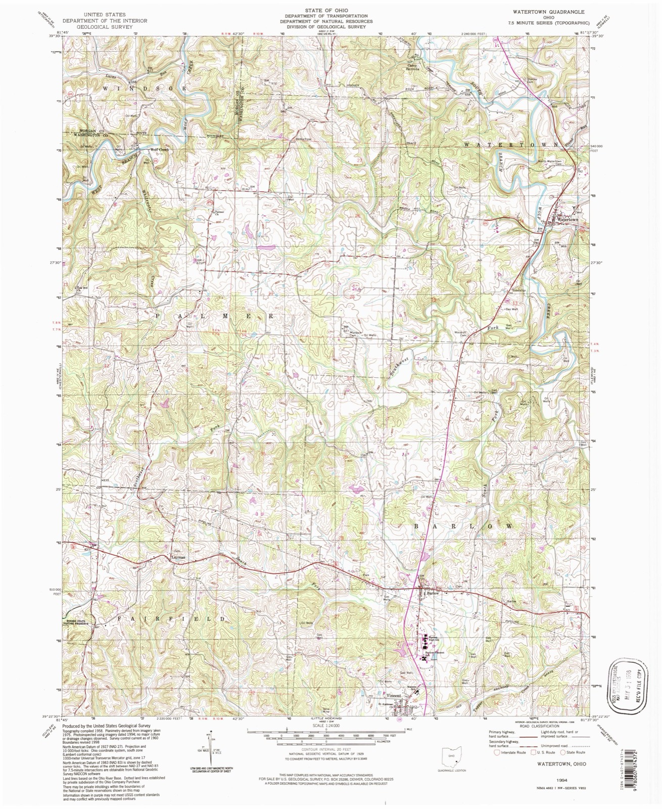
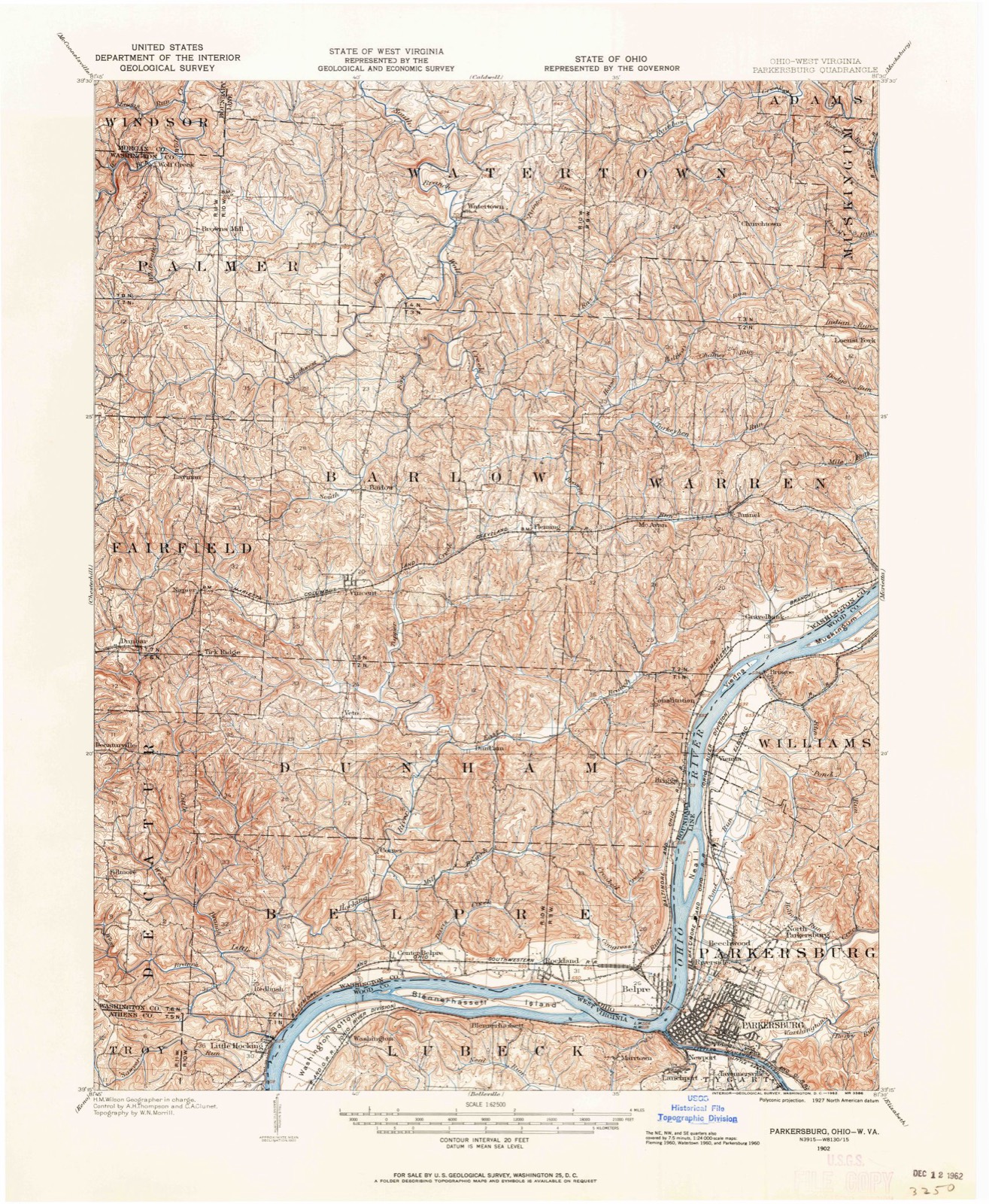
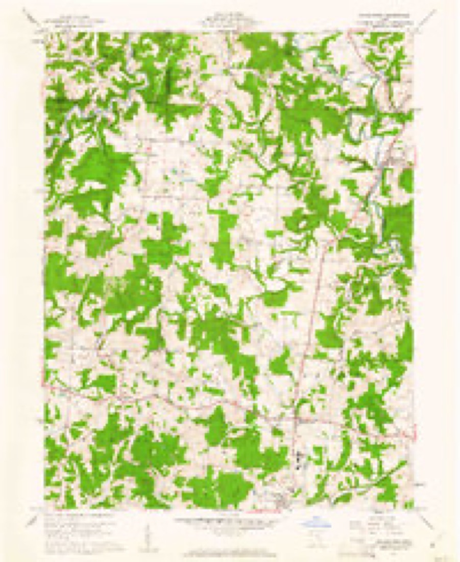
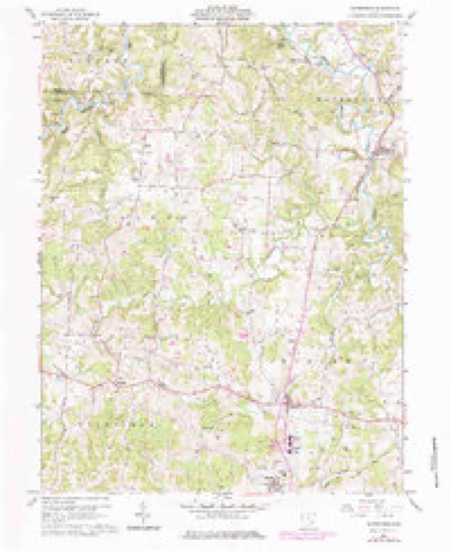
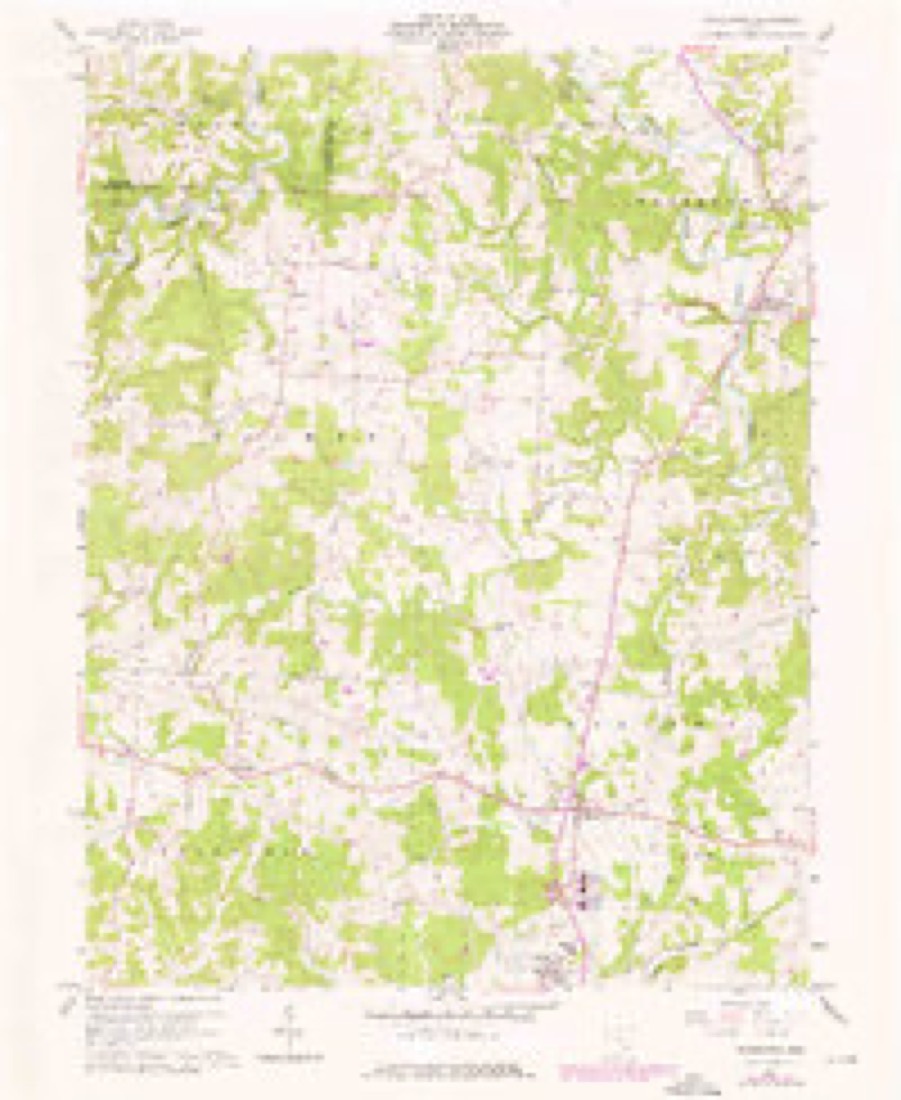
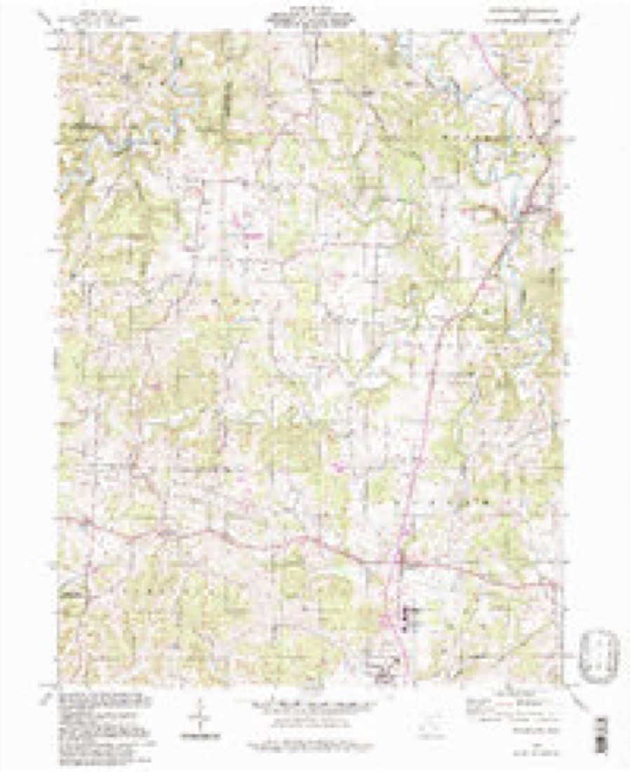
16 topographic sheets cover this place, the earliest surveyed in 1902 and the latest in 1994. It stands in Palmer Township. It lies in ZIP code area 43787. It stands on Whitewater Creek. The Survey maps it on the Watertown quadrangle.
Then and now
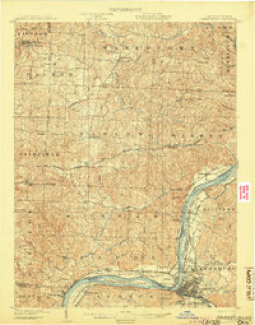
1902 to 1994The same ground, surveyed 92 years apart. Drag the handle to wipe between them. Both sheets are United States Geological Survey originals; neither has been altered.
Compare 1902 against another survey:
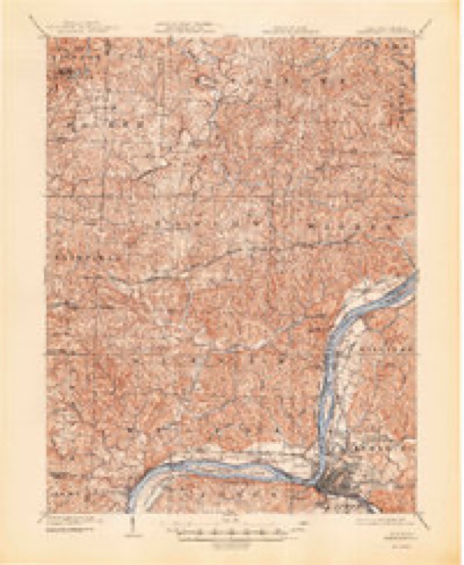
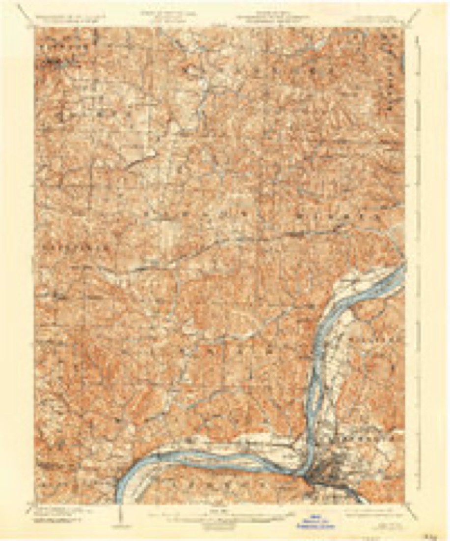
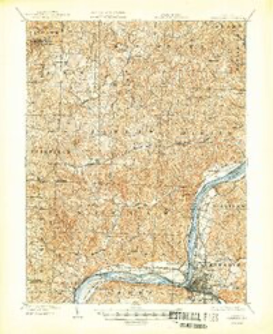
Topographic sheets covering this place
16 sheetsMatched by testing this settlement's coordinate against the published boundary of every sheet in the United States Geological Survey's historical collection. Each opens the scanned sheet at the Survey.
- 1902 USGS Parkersburg quadrangle1:62500
- 1904 USGS Parkersburg quadrangle1:62500
- 1904 USGS Parkersburg quadrangle1:62500
- 1904 USGS Parkersburg quadrangle1:62500
- 1904 USGS Parkersburg quadrangle1:62500
- 1904 USGS Parkersburg quadrangle1:62500
- 1949 USGS Clarksburg quadrangle1:250000
- 1956 USGS Clarksburg quadrangle1:250000
- 1956 USGS Clarksburg quadrangle1:250000
- 1960 USGS Watertown quadrangle1:24000
- 1960 USGS Watertown quadrangle1:24000
- 1960 USGS Watertown quadrangle1:24000
- 1961 USGS Clarksburg quadrangle1:250000
- 1981 USGS Parkersburg quadrangle1:100000
- 1988 USGS Clarksburg quadrangle1:250000
- 1994 USGS Watertown quadrangle1:24000





In the county-history sources
11,313 words on this townshipHistory of Washington County, Ohio, published 1881 names this settlement in its chapter on Palmer Township. These are the passages that mention it, exactly as the scans read.
In March, 1802, the Palmers moved to the tract of land now under consideration. They settled on the land now occupied by Brown's Mill post office. The head of the family was Joseph Palmer, born in Windom, Connecticut, January 13, 1761, with his wife Hannah Fox, who was born in Windom August 2, 1763. His removal was from Rutland county, Vermont, where he had been a resident. The family came to King's settlement, at the head of the Allegheny river. Accompanied by Messrs. Howe, Prouty, Thaddeus, Pond, and Elijah Pond, they made their way down the rivers to Marietta in Keel-boats in the fall of 1801. On the way an accident occurred in the rapids, upsetting the boat containing the Palmers, spilling out their effects and giving the occupants a cool, but not dangerous bath. Jerusha Palmer, then a little girl, was rescued by Mr. Howe. The Palmers then consisting of the two parents and their children Joseph, Jabez, Jerusha, Isaac, and perhaps Ephraim, went immediately to the settlement at Wolf Creek mills. Winter was at hand and some place to spend it had to be found immediately. Mr. Palmer finally decided upon a building that had been used as a shelter for sheep. As might be expected, it was not in condition to suit the notions of a housekeeper who had any regard for cleanliness, but it was soon put in condition for occupation. Arriving at Palmer next spring, they found in the well known pine grove that then occupied the place, a man before them. He was one of that profession that in those days found employment in gathering knots from the pine trees and burning them for the tar they afforded. This man's name was Mallery - a singular character in some respects - well known in the Waterford settlement. He was a bachelor and had constructed a very neat lodge in the vast pine wilderness, and as he was through his work there Mr. Palmer ushered in his family and began in earnest the life of a settler. The first care was to provide a more commodious and permenent shelter for a large family than that afforded by a bachelor's shanty, which was done. In the spring of the following year, 1803, the last child of the family, Elizabeth, was born. In 1805 or 1806 another log cabin was built by Mr. Palmer, into which they soon moved. By the year 1810 Mr. Palmer had constructed a third house, of hewed pine logs, two stories in height, and in this the family lived until the death of its builder, in 1831, in his seventy-first year. Then Isaac Palmer built and lived in a two-story frame building, now remodelled and occupied by A. F. Breckenridge. Joseph Palmer, sr., was quite a prominent character in the settlement that he had helped to found. He was the first justice of the peace. In 1807 he was sent to the legislature as a representative of Washington county. Towards the close of his life his brain became affected, the general opinion being that this misfortune originated from too assiduous duties performed while at Columbus. His wife survived him five years and died at the age of seventy-three years.
Passage source: History of Washington County, Ohio, published 1881.
For a period of seven years, more or less, no additional families came to the settlement. Finally, in 1813, Joseph Atkinson with his wife, a niece of Paul Fearing, moved in from Waterford. His children were John, Luan, Frank, Deborah, and a little girl whose name is not known. Atkinson was a disorderly character. Returning intoxicated from Wolf Creek mills one evening in 1818, he fell by the roadside and died from exposure. There he was found by one of his sons.
Passage source: History of Washington County, Ohio, published 1881.
Samuel Brown was a brother of General Brown, of Athens, and learned his trade of Sharp & Hunt, for whom he worked in the construction of Wolf Creek mills. Hiett had a cabin put up, in which he intended to live when his mill should be finished. Brown and his family occupied it during the building of.the mill, and continued to remain there upon his purchase of the mill. Mr. Brown did not make such a financial success of his business as a less sympathetic man would have done. Never a needy person, however, unable to pay, came to his mill and went away empty handed. After the sale of his mill, he lived with his son-in-law, a Frenchman, named Eugene Pierrot. Brown's first wife was Mary Poole, who died in Athens county. Her children were Sophia, Lucinda, Affa, and Alvina. By his second wife, Sarah Jenkins, his children were: Mary and Amy. Samuel Brown died in 1872, aged ninety-one years. His last wife died in 1856, aged sixty-four.
Passage source: History of Washington County, Ohio, published 1881.
Machine-read from a century-old scan, so expect the errors a machine makes: misspelled names, dropped words, stray characters.
Read the whole chapter on Palmer Township - it names this place 1 more 1 time.
Fires near this place
14 since 2013Regional context, not property-specific evidence. The federal wildfire occurrence database lists 14 fires within 5 miles of Wolf Creek between 2013 and 2020, burning about 9 acres in total. None started naturally. None was recorded as arson. Distance is straight-line from the map coordinates, so a fire counted here may appear on a neighbouring settlement's page as well.
| Reported cause | Fires |
|---|---|
| Debris and open burning | 9 |
| Missing data/not specified/undetermined | 2 |
| Power generation/transmission/distribution | 2 |
| Smoking | 1 |
The most recent of them, most recent first, with the day each was reported and the service that recorded it.
| Date | Cause | Size | Reported by | Name on the report |
|---|---|---|---|---|
| 23 September 2016 | Debris and open burning | under an acre | Ohio Department of Natural Resources | 5585 |
| 9 June 2018 | Power generation/transmission/distribution | under an acre | Ohio Department of Natural Resources | 14665 |
| 5 June 2015 | Debris and open burning | under an acre | Ohio Department of Natural Resources | 1461 |
| 25 June 2016 | Smoking | under an acre | Ohio Department of Natural Resources | 5045 |
| 9 March 2020 | Missing data/not specified/undetermined | 1.0 acres | Ohio Department of Natural Resources | 15509 |
| 18 March 2018 | Debris and open burning | 1.0 acres | Ohio Department of Natural Resources | 13505 |
| 18 March 2014 | Missing data/not specified/undetermined | 1.0 acres | Ohio Department of Natural Resources | not named |
| 16 March 2015 | Debris and open burning | under an acre | Ohio Department of Natural Resources | 363 |
Settlements close enough to share some of these fires:
Specimens collected near this place
12 of 330 shownRegional context, not property-specific evidence. Museums hold 330 specimens collected within 10 miles of Wolf Creek between 1888 and 1975: 288 Animalia, 23 Plantae, 19 Fungi. 12 distinct Species records are shown. Collected by Albaugh, D. W. (Douglas W.), Albaugh, Douglas W, B. P. Story and others. Each is a physical object with a catalogue number, and each entry opens the museum's record. This is what was collected and kept, not a survey of what lives here - nothing can be concluded from a species being absent.
| Image | Species | Year | Collected by | Where, as recorded |
|---|---|---|---|---|
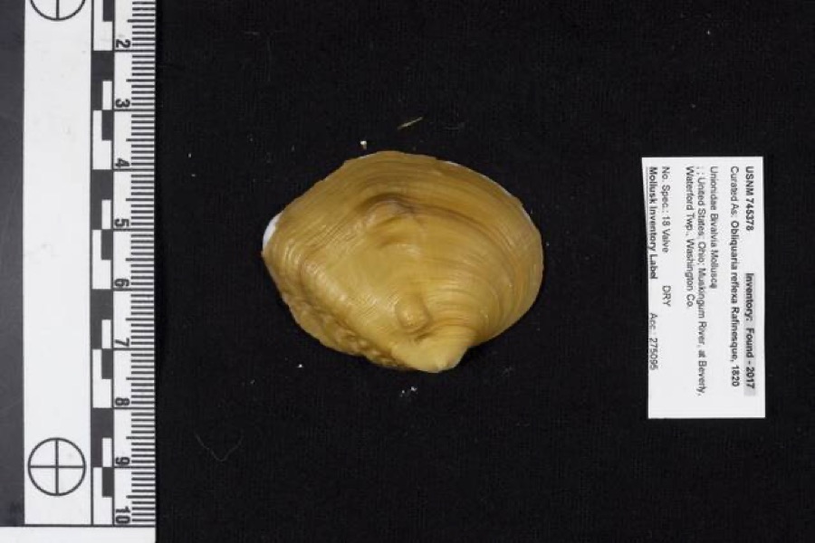 | Obliquaria reflexa Rafinesque, 1820 | 1962 | D. Stansbery | Waterford Township, Muskingum River, Beverly |
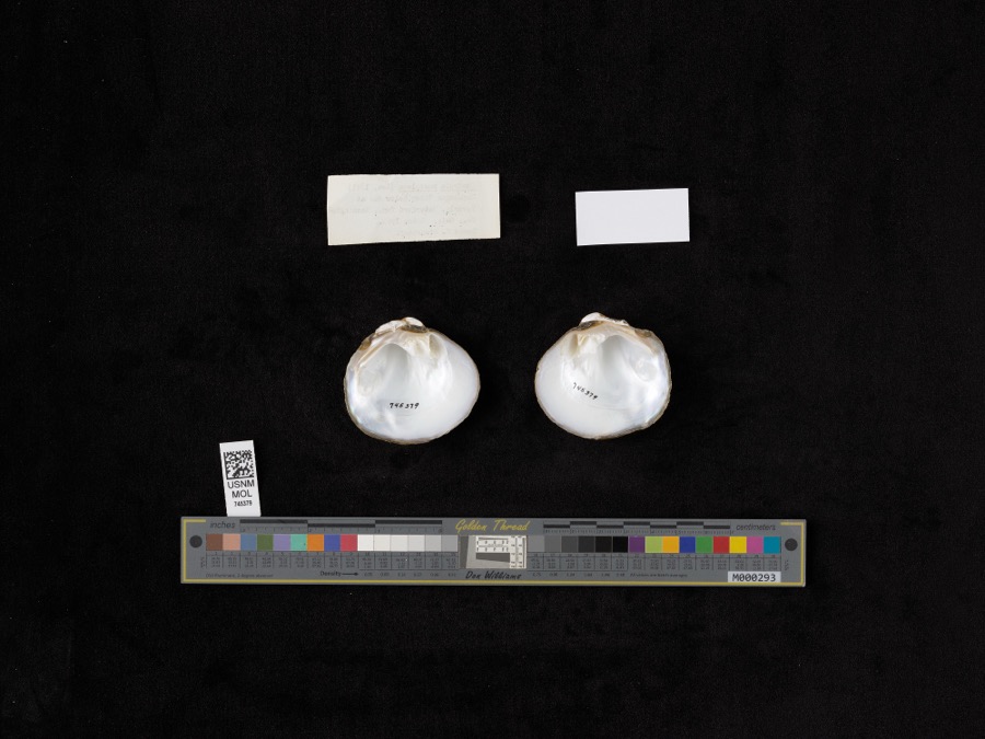 | Quadrula pustulosa (I.Lea, 1831) | 1962 | D. Stansbery | Muskingum River, Waterford, Below Dam At Beverly |
 | Ammocrypta pellucida (Putnam, 1863) | 1888 | C. Gilbert & J. Henshall | Beverly, Ohio, Muskingum River. |
.jpg) | Crystallaria cincotta Welsh & Wood, 2008 | 1888 | Gilbert, C. & Henshall, J. A. (James A.) | Muskingum River, dst Beverly dam RM 24.8, 0.6 miles west of Beverly OH, Waterford township |
 | Hypentelium nigricans (Lesueur, 1817) | 1888 | C. Gilbert & J. Henshall | Beverly, Ohio, Muskingum River. |
 | Notropis whipplei (Girard, 1856) | 1888 | C. Gilbert & J. Henshall | Beverly, Ohio |
 | Percopsis omiscomaycus (Walbaum, 1792) | 1888 | C. Gilbert & J. Henshall | Beverly, Ohio, Muskingum River. |
 | Pimephales vigilax (Baird & Girard, 1853) | 1888 | C. Gilbert & J. Henshall | Beverly, Ohio, Muskingum River. |
 | Ammodramus savannarum pratensis (Vieillot, 1818) | 1904 | not recorded | Meigs Creek |
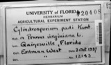 | Cylindrosporium padi P.Karst. | 1910 | W. T. Mitchell & Son | Beverly |
 | Hybopsis aestivalis (Girard, 1856) | 1921 | Wickliff, E. L. (Edward L.) | South Branch Wolf Creek, within Watertown township, near Watertown, Watertown township |
 | Calla palustris L. | 1927 | G. Eifrig | Hayward |
All 330 specimens within 10 miles, at the Global Biodiversity Information Facility.
Mines and quarries near this place
2 within 5 milesRegional context, not property-specific evidence. The federal mineral resources record lists 2 workings within 5 miles of Wolf Creek: 1 past producer, 1 producer. 1 still produces. What was taken out: Sand and Gravel, Construction. Distance is straight-line from the map coordinates, so a quarry counted here may appear on a neighbouring settlement's page as well.
| Where | Site | Commodity | Status | Recorded |
|---|---|---|---|---|
| Chesterhill Stone Co. | Sand and Gravel, Construction | Producer | ||
| Number 2 Pit | Sand and Gravel, Construction | Past Producer | Sedimentary |
Nearest settlements
The eight closest, with where each one stands in the county. Distances are straight-line, computed from the Geographic Names Information System coordinates.
| Map | Place | Distance | Sheets |
|---|---|---|---|
| Dale | 1.9 miles | 14 | |
| Patten Mills | 3.0 miles | 14 | |
| Luke Chute | 4.1 miles | 14 | |
| Swift | 5.2 miles | 14 | |
| Layman | 5.3 miles | 16 | |
| Watertown | 5.3 miles | 16 | |
| Bartlett | 6.1 miles | 14 | |
| Waterford | 6.5 miles | 14 |
Elsewhere
Matched on this settlement's Geographic Names Information System number rather than its name, so it cannot be a different place of the same name in another state.
| Wikipedia article on Wolf Creek | An encyclopaedic summary. Its text is share-alike, so it is linked here rather than copied. |
| Wikidata item Q22133383 | The structured record the population and elevation above come from. Public domain (CC0). |
Provenance
This settlement is recorded in the Geographic Names Information System as feature 1063099. The sheet list is computed by point-in-boundary test against the United States Geological Survey's historical topographic inventory. Both are works of the United States government and carry no copyright under 17 U.S.C. 105.
Wildfire. Short, Karen C. 2022. Spatial wildfire occurrence data for the United States, 1992-2020 [FPA_FOD_20221014]. 6th Edition. Fort Collins, CO: Forest Service Research Data Archive. https://doi.org/10.2737/RDS-2013-0009.6 Collected with United States Government funding and usable without additional permissions or fees.
Specimens. Global Biodiversity Information Facility (GBIF), https://www.gbif.org/. Only records licensed CC0 or CC BY are used. Records licensed CC BY-NC are excluded because this site carries advertising. Images are checked individually and any whose licence is non-commercial, no-derivatives or unreadable is refused.
Mines and quarries. USGS Mineral Resources Data System (MRDS) https://mrdata.usgs.gov/mrds/ A work of the United States government, no copyright under 17 U.S.C. 105.